Elevation map of Bastar, Chhattisgarh, India
Location: India > Chhattisgarh >
Longitude: 81.9534815
Latitude: 19.1071317
Elevation: 541m / 1775feet
Barometric Pressure: 95KPa
Elevation Map:
Satellite Map:
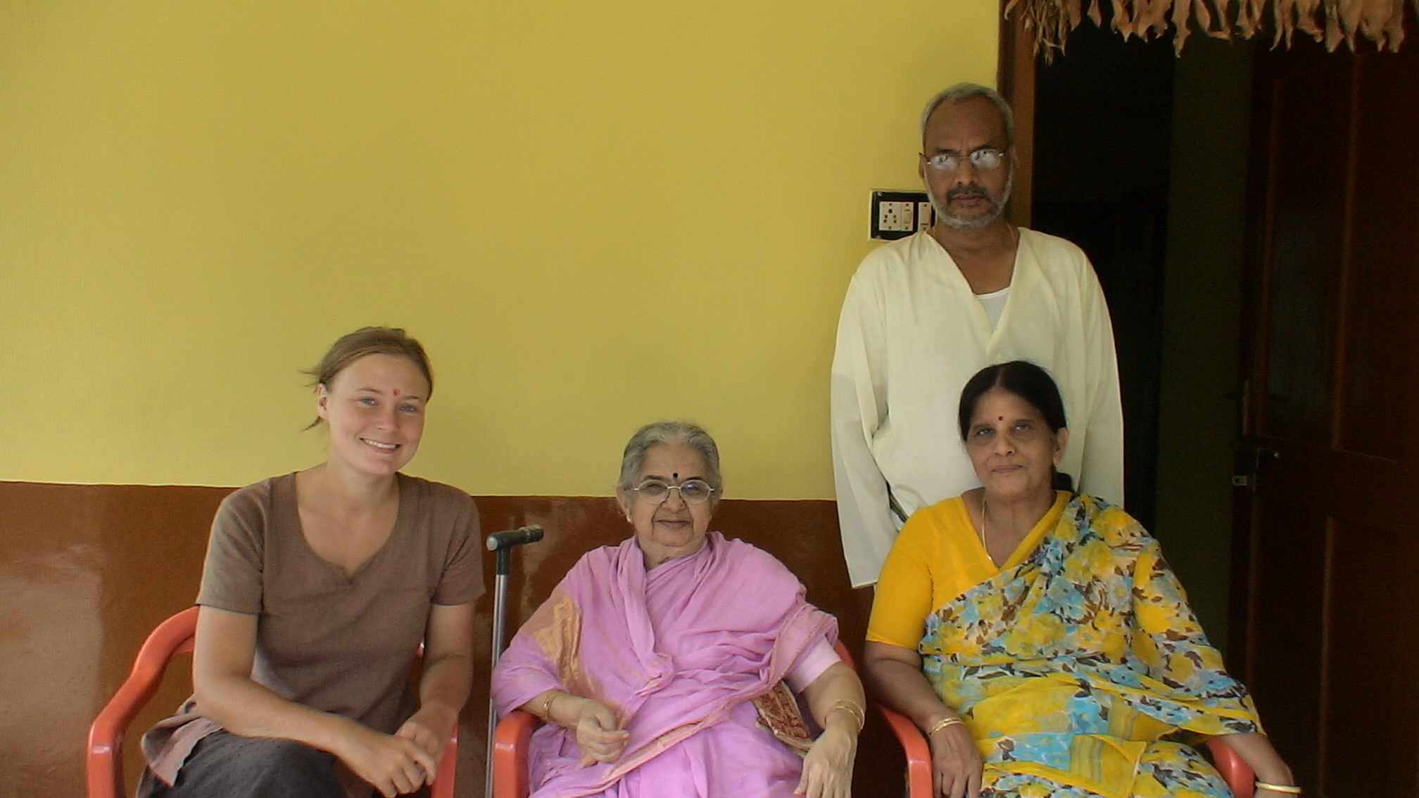
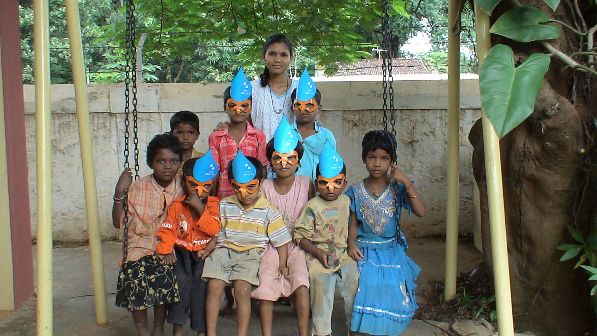
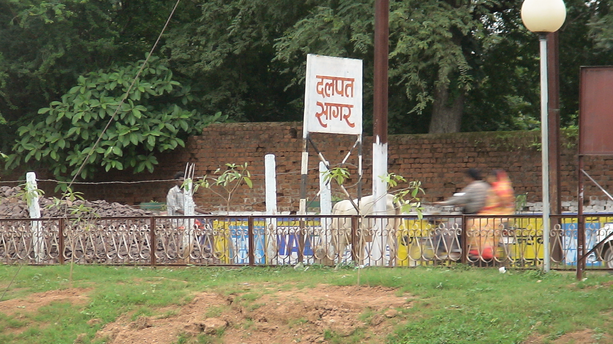
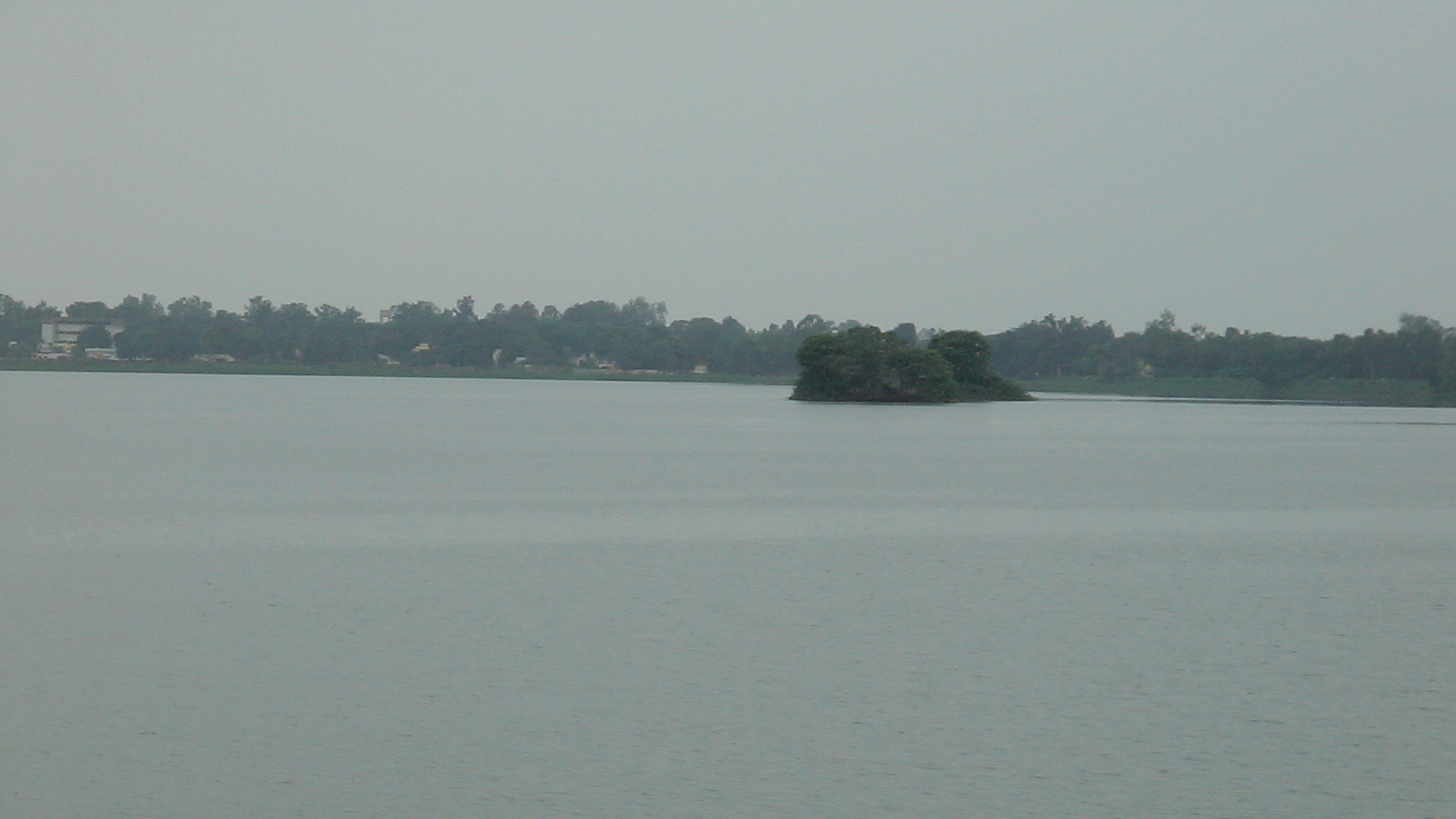
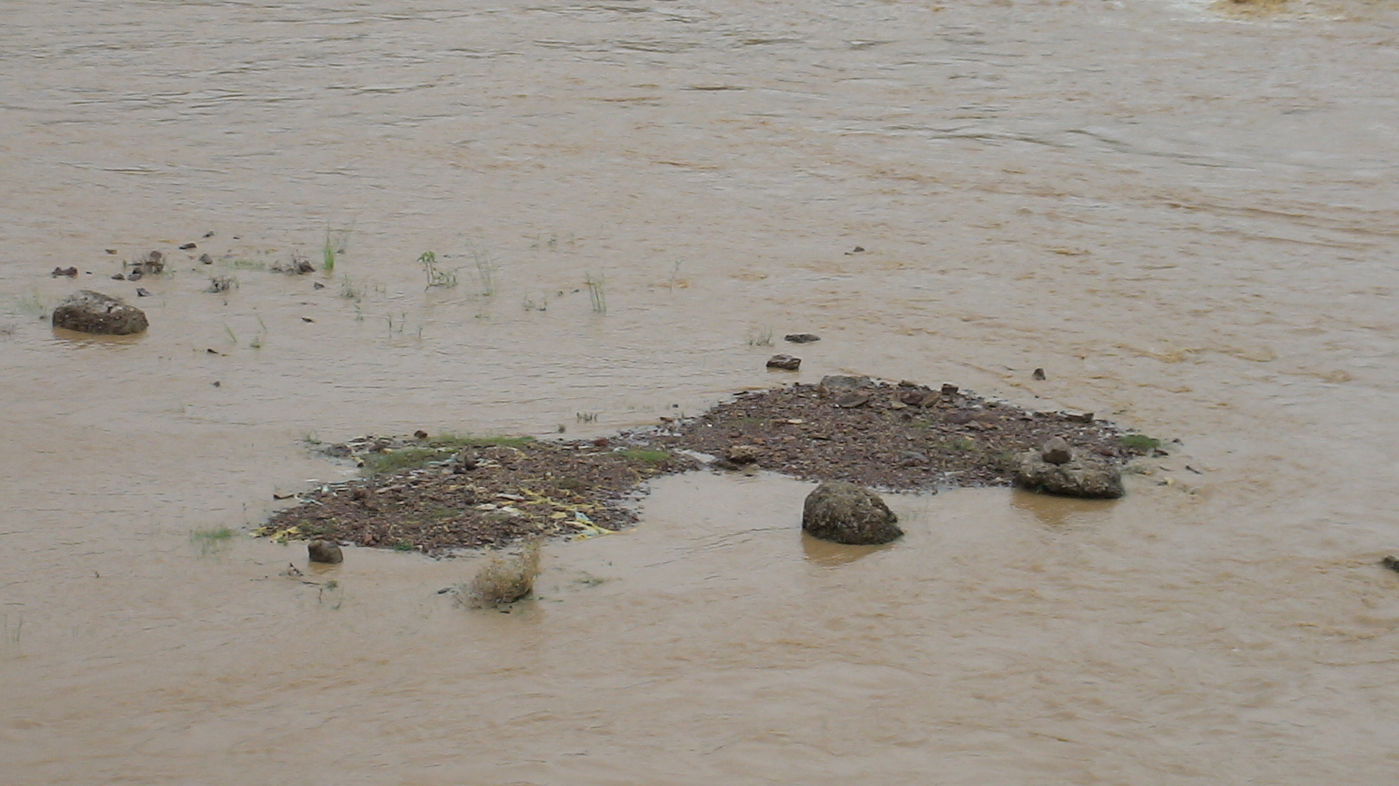
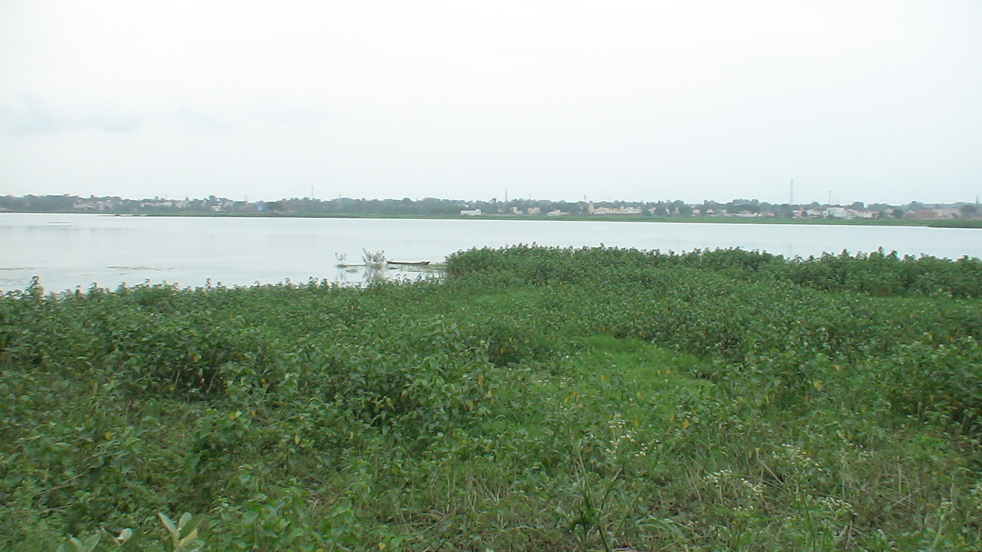
Related Photos:
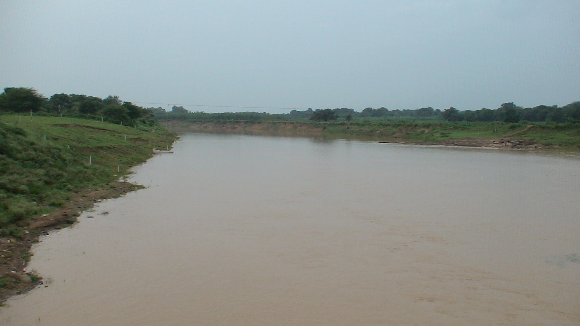
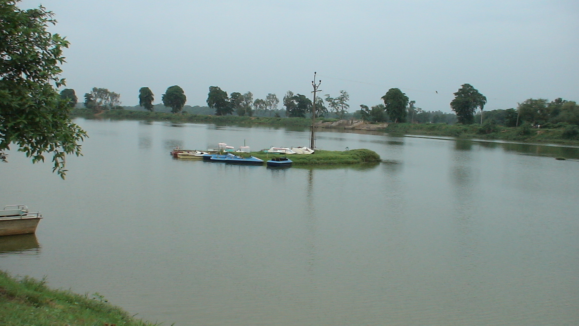
DSC00059.JPG
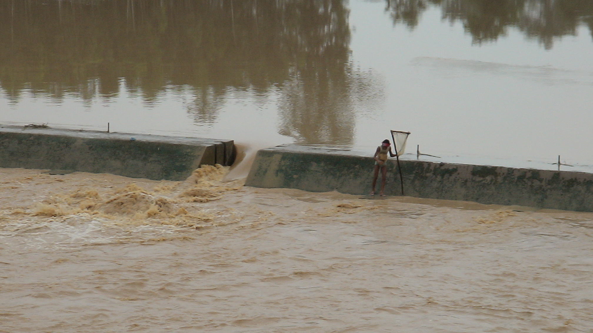
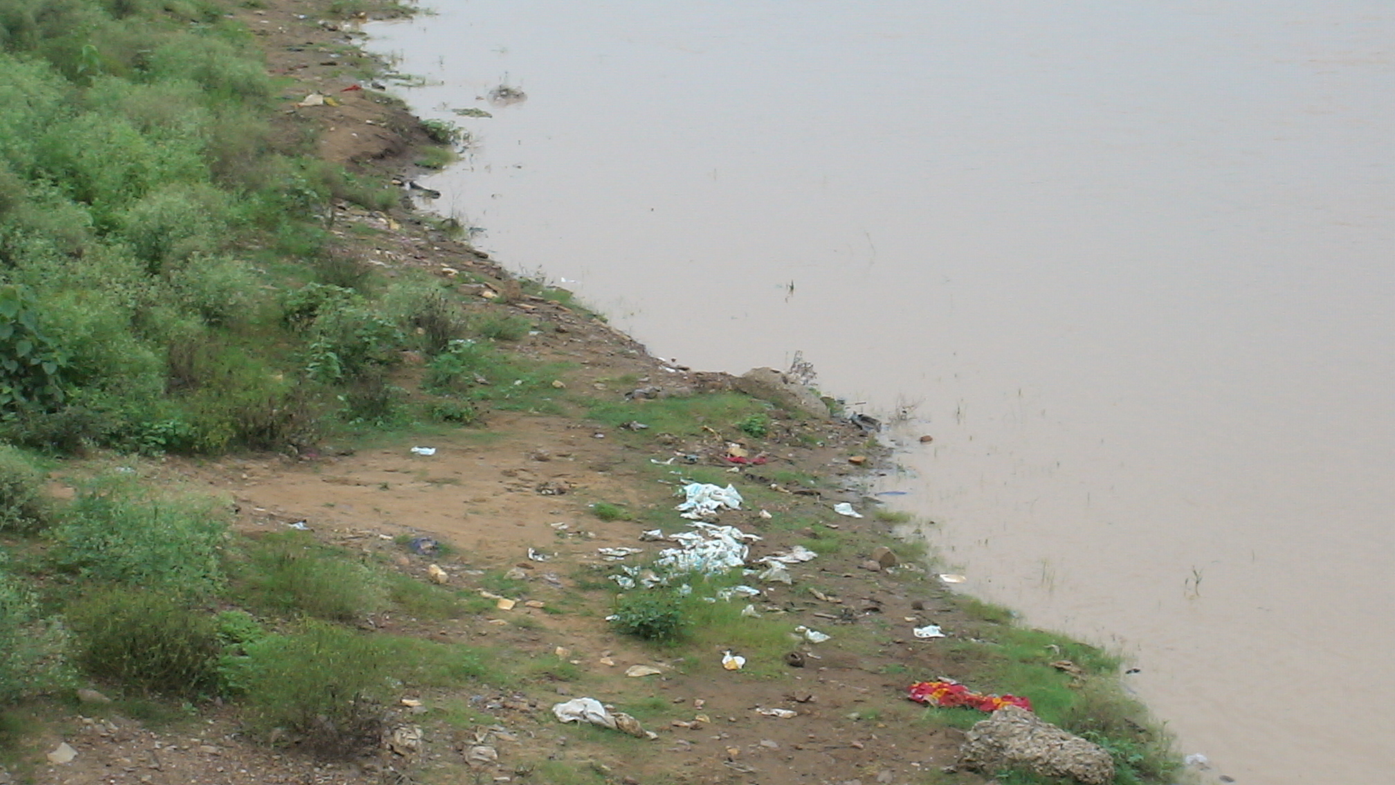
DSC00058.JPG
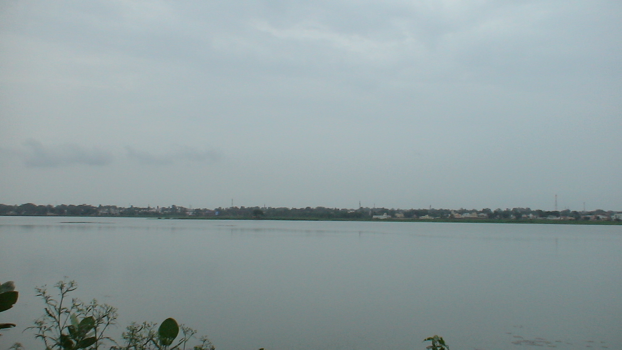
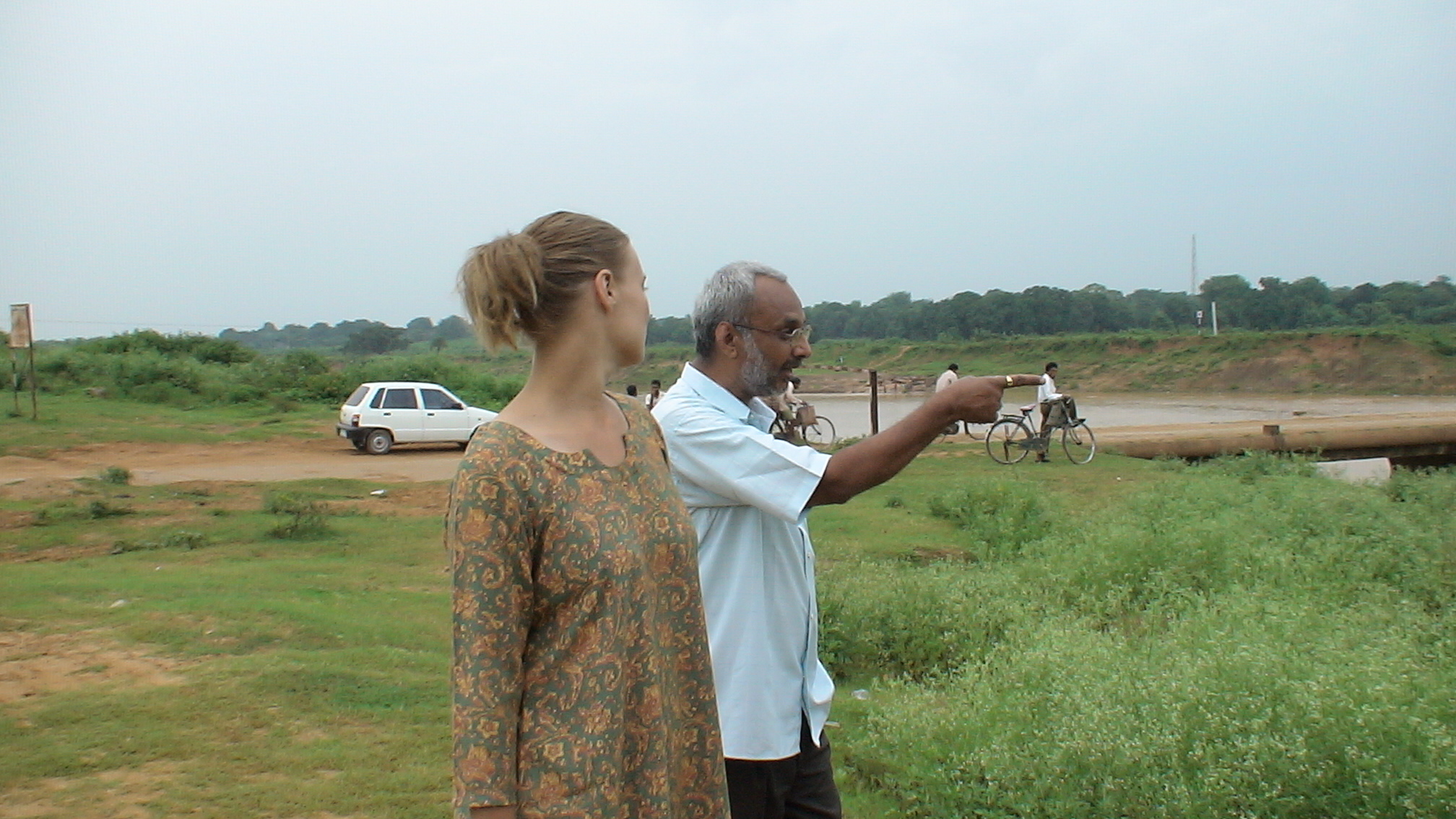
DSC00048.JPG
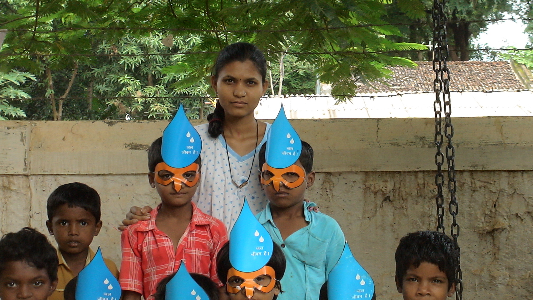
DSC00071.JPG
DSC00070.JPG

DSC00068.JPG

DSC00069.JPG

DSC00055.JPG
DSC00065.JPG
DSC00056.JPG

DSC00067.JPG
DSC00054.JPG
DSC00049.JPG
DSC00062.JPG
DSC00064.JPG
DSC00066.JPG
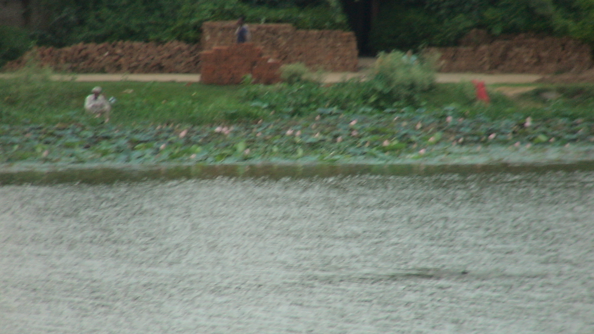
DSC00053.JPG
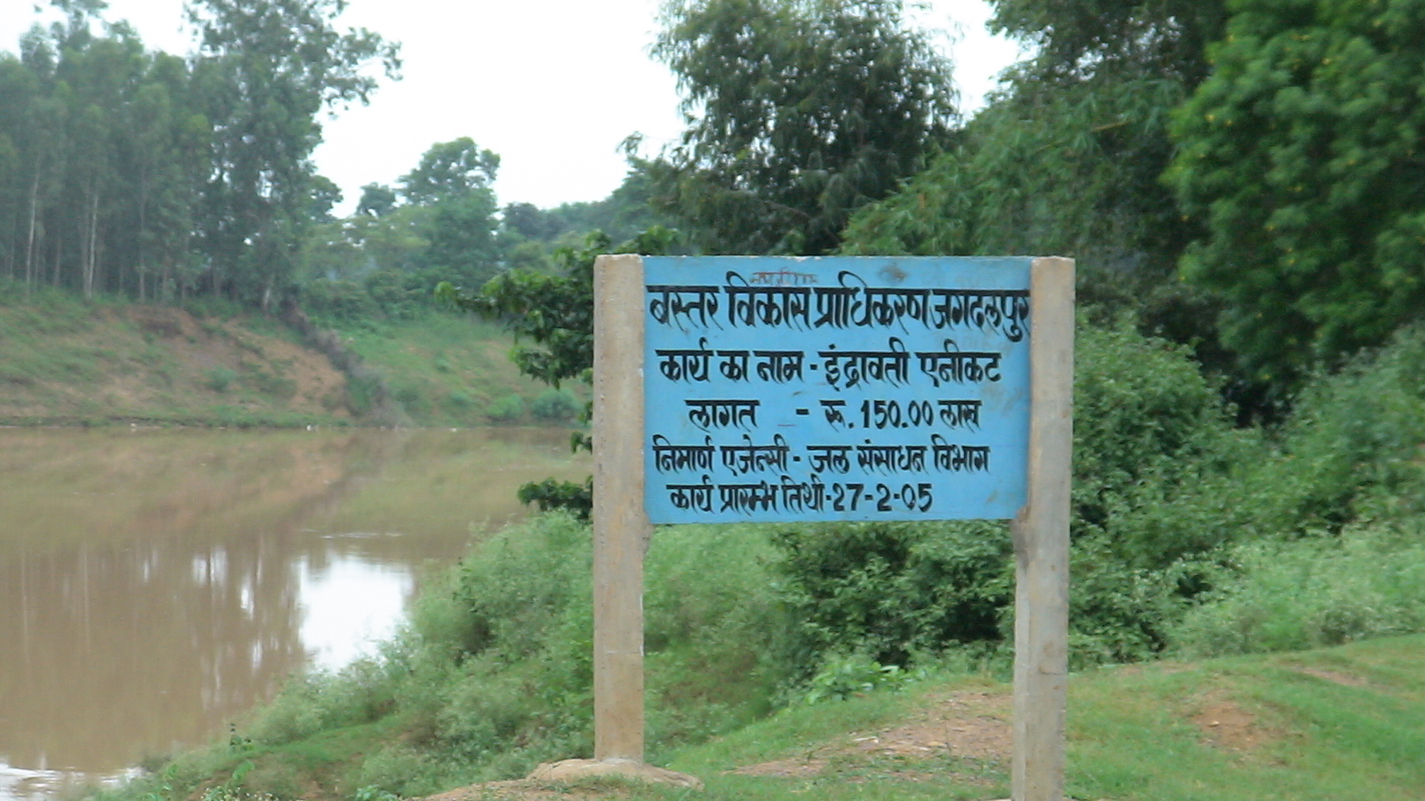
DSC00063.JPG
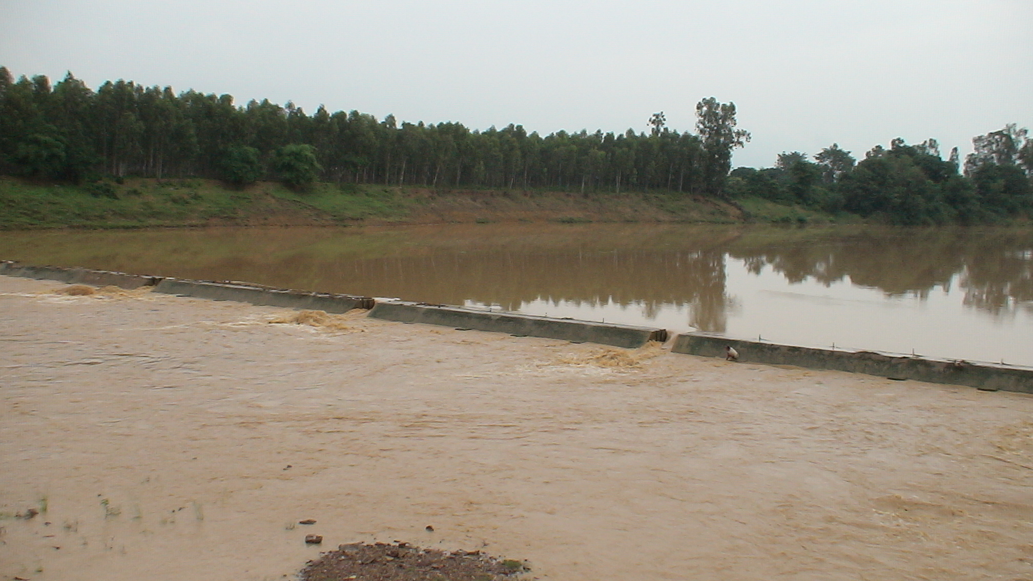
DSC00057.JPG
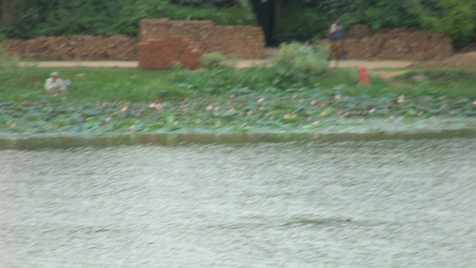
DSC00052.JPG
DSC00061.JPG
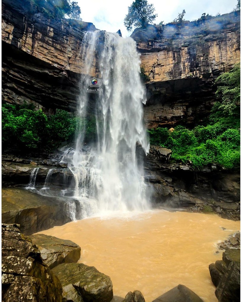
Mahendri Ghumar Waterfall...
DSC00047.JPG
Topographic Map of Bastar, Chhattisgarh, India
Find elevation by address:

Places in Bastar, Chhattisgarh, India:
Places near Bastar, Chhattisgarh, India:
Coconut Palm ,sgcars,kumhrawand,jagdalpur
Jagdalpur
Bastar
Rajpur
Bakawand
Kanger Valley National Park
Kosagumuda
Kotapad
Kodinga
Puswal
Kundura
Kundra
Nabarangpur
Dabugaon
Kondagaon
Borigumma
Nabarangpur (kl) Division
Pappadahandi
Umerkote
Padhalguda
Recent Searches:
- Elevation of E 63rd St, New York, NY, USA
- Elevation of Elk City, OK, USA
- Elevation of Erika Dr, Windsor, CA, USA
- Elevation of Village Ln, Finleyville, PA, USA
- Elevation of 24 Oakland Rd #, Scotland, ON N0E 1R0, Canada
- Elevation of Deep Gap Farm Rd E, Mill Spring, NC, USA
- Elevation of Dog Leg Dr, Minden, NV, USA
- Elevation of Dog Leg Dr, Minden, NV, USA
- Elevation of Kambingan Sa Pansol Atbp., Purok 7 Pansol, Candaba, Pampanga, Philippines
- Elevation of Pinewood Dr, New Bern, NC, USA