Elevation of Kundura, Odisha, India
Location: India > Odisha > Koraput > Kundra >
Longitude: 82.3831561
Latitude: 18.9187525
Elevation: 583m / 1913feet
Barometric Pressure: 95KPa
Elevation Map:
Satellite Map:
Related Photos:
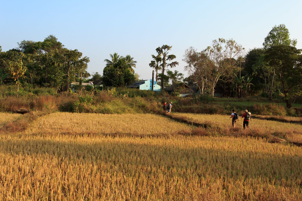
Walking to the next village

Shy Kid
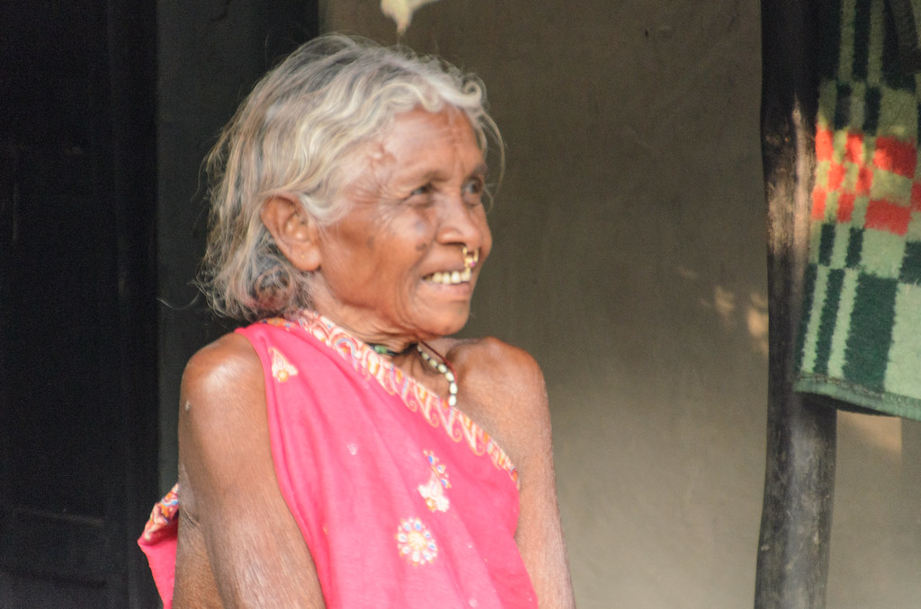
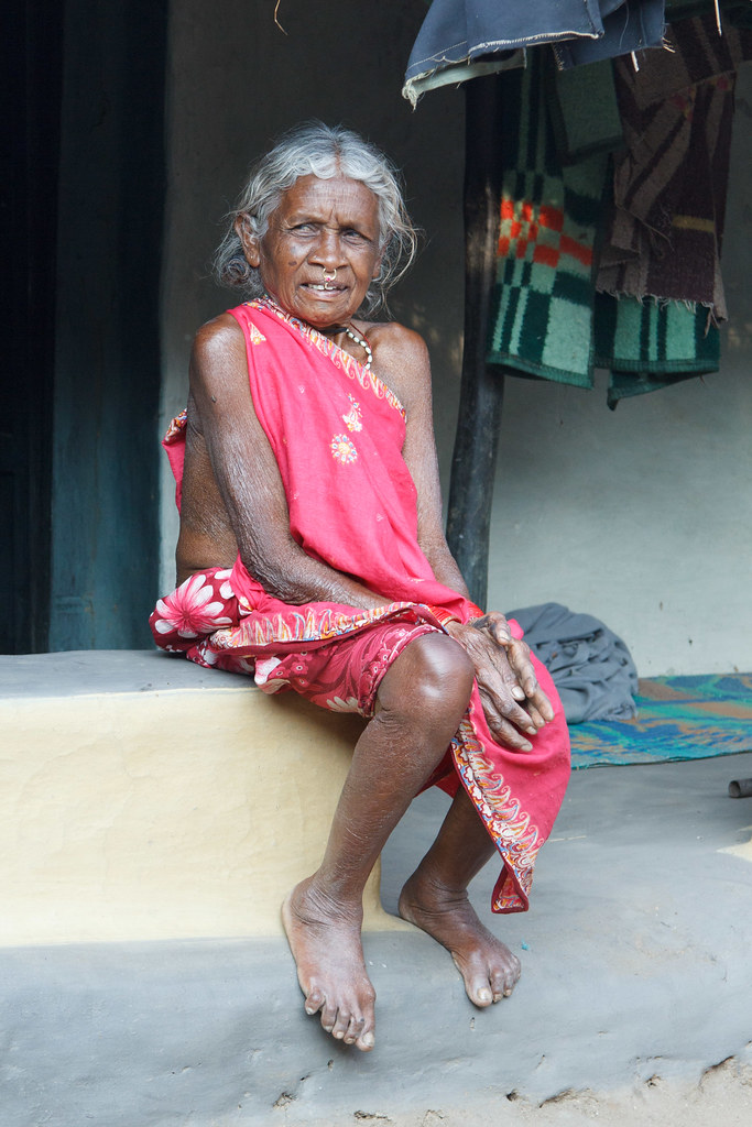
Old Woman
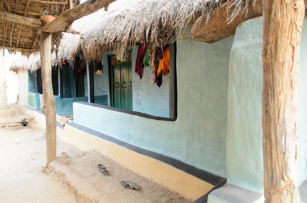
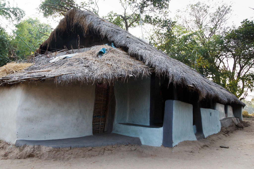
Clay House
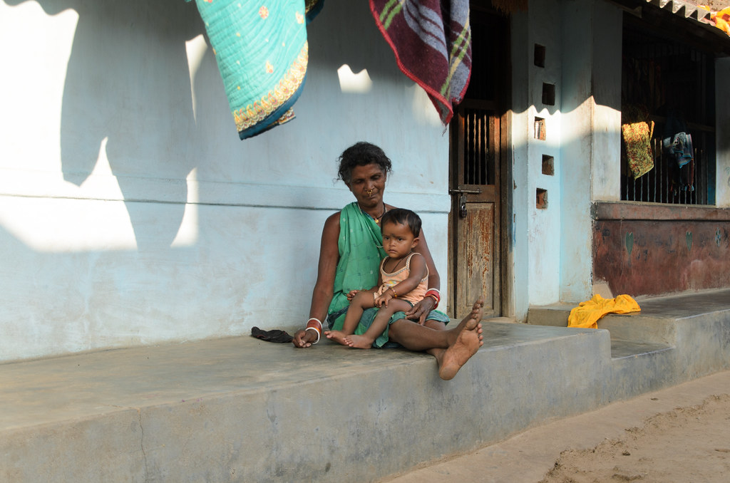
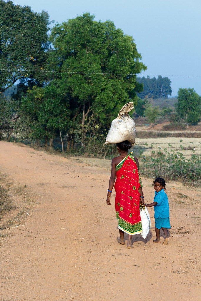
Woman & Child
Back to home with mum
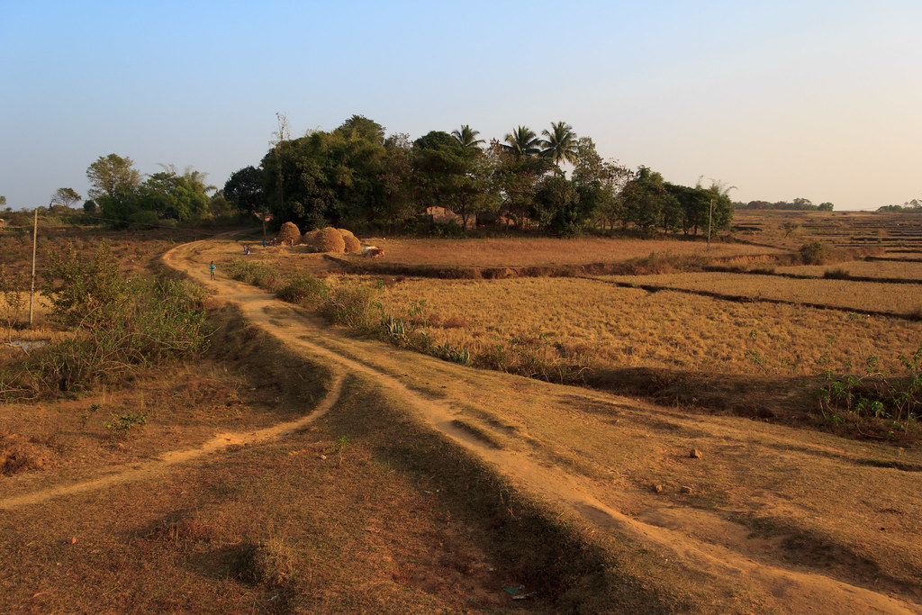
Nice scenery
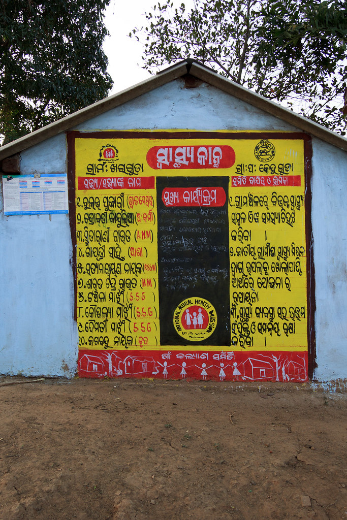
Difficult language
Just sitting
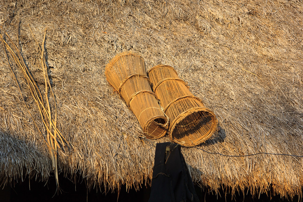
Fish traps on the roof
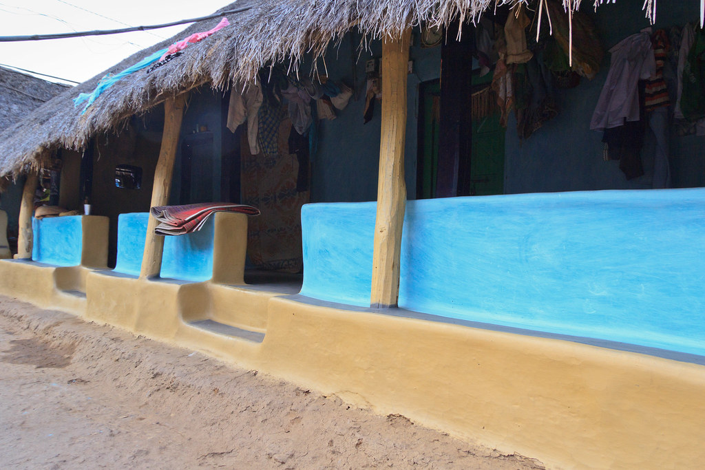
Blue houses
Blue houses
Topographic Map of Kundura, Odisha, India
Find elevation by address:

Places near Kundura, Odisha, India:
Kundra
Kanger Valley National Park
Borigumma
Kotapad
Koraput Govt Medical
Koraput
Nabarangpur (kl) Division
Kodinga
Padhalguda
Kosagumuda
Nandahandi
Jagdalpur
Pappadahandi
Coconut Palm ,sgcars,kumhrawand,jagdalpur
Bakawand
Bastar
Tentulikhunti
Bastar
Dabugaon
Pushpali
Recent Searches:
- Elevation of Eldorado do Sul - RS, Brazil
- Elevation of Eldorado do Sul - Parque Eldorado, Eldorado do Sul - RS, -, Brazil
- Elevation of 35 Governors Ln, Hilton Head Island, SC, USA
- Elevation of Orangevale, CA, USA
- Elevation of Doe Cir, Clinton, OH, USA
- Elevation of Narhe, Pune, Maharashtra, India
- Elevation of Martins Mill Ct, Eagle Rock, NC, USA
- Elevation of Kippen, Stirling FK8, UK
- Elevation of Sieveringer Straße, Sieveringer Str., Wien, Austria
- Elevation of Bratskaya Ulitsa, 24, Kurgan, Kurganskaya oblast', Russia