Elevation of Kanger Valley National Park, Bastar, Chhattisgarh, India
Location: India >
Longitude: 82.2365981
Latitude: 18.9539973
Elevation: 553m / 1814feet
Barometric Pressure: 95KPa
Elevation Map:
Satellite Map:
Related Photos:
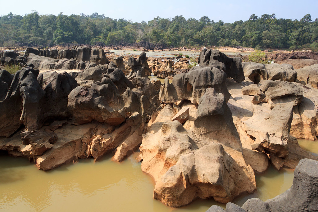
At the river
AAC_2428-1

AAC_2437-1

AAC_2495-1

AAC_2502-1

AAC_2511-1

AAC_2560-1

AAC_2566-1

AAC_2574-1
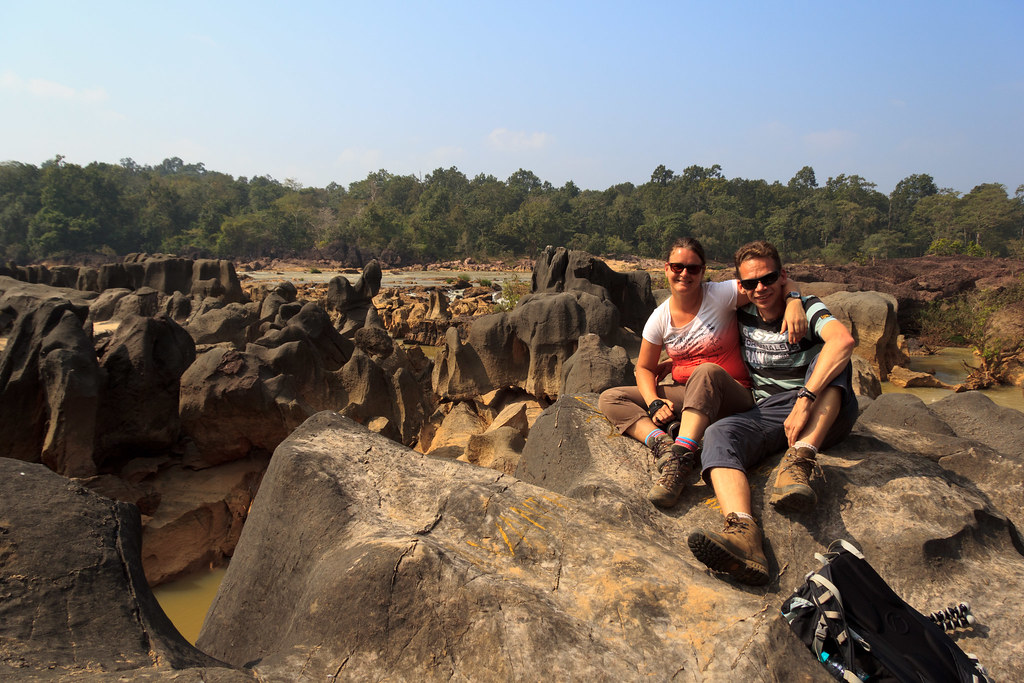
Together at the river

Silvia at the river

Dharua Gond house

Little pig
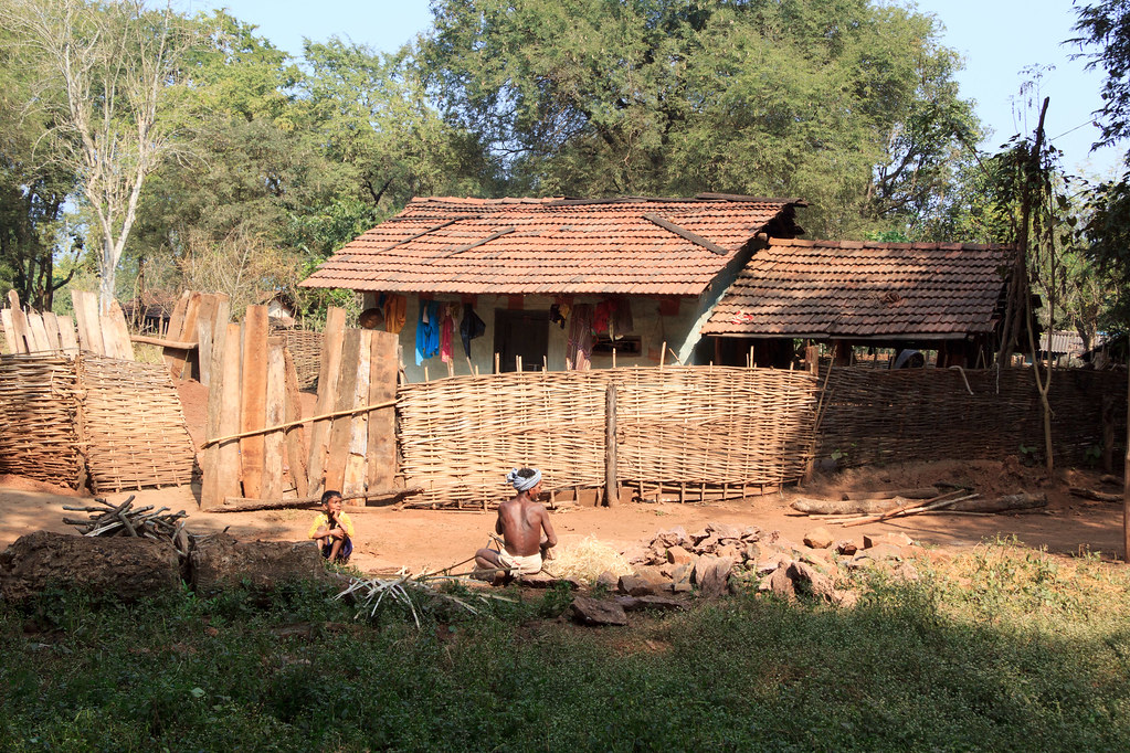
Dharua Gond house

Dharua Gond house window

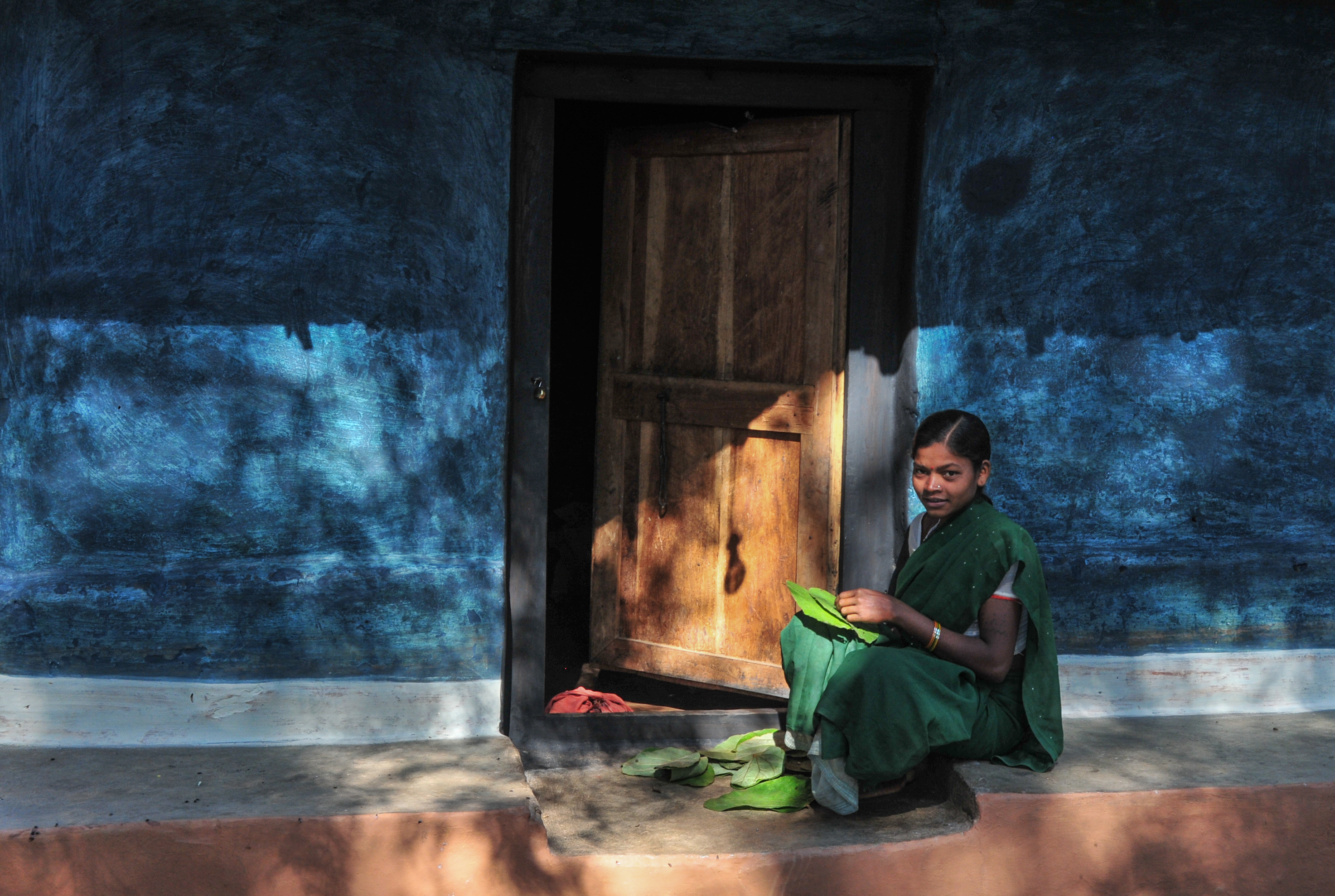
Dharua Gond
Topographic Map of Kanger Valley National Park, Bastar, Chhattisgarh, India
Find elevation by address:

Places near Kanger Valley National Park, Bastar, Chhattisgarh, India:
Kundura
Kundra
Kotapad
Jagdalpur
Coconut Palm ,sgcars,kumhrawand,jagdalpur
Kosagumuda
Bastar
Borigumma
Bakawand
Kodinga
Bastar
Nabarangpur (kl) Division
Padhalguda
Puswal
Pappadahandi
Nandahandi
Koraput Govt Medical
Koraput
Rajpur
Dabugaon
Recent Searches:
- Elevation of Eldorado do Sul - RS, Brazil
- Elevation of Eldorado do Sul - Parque Eldorado, Eldorado do Sul - RS, -, Brazil
- Elevation of 35 Governors Ln, Hilton Head Island, SC, USA
- Elevation of Orangevale, CA, USA
- Elevation of Doe Cir, Clinton, OH, USA
- Elevation of Narhe, Pune, Maharashtra, India
- Elevation of Martins Mill Ct, Eagle Rock, NC, USA
- Elevation of Kippen, Stirling FK8, UK
- Elevation of Sieveringer Straße, Sieveringer Str., Wien, Austria
- Elevation of Bratskaya Ulitsa, 24, Kurgan, Kurganskaya oblast', Russia