Elevation of Barnard, KS, USA
Location: United States > Kansas > Lincoln County > Scott >
Longitude: -98.041991
Latitude: 39.1905604
Elevation: 402m / 1319feet
Barometric Pressure: 97KPa
Elevation Map:
Satellite Map:
Related Photos:
2013-05-28_2386

Farmart...!!

A new Lease
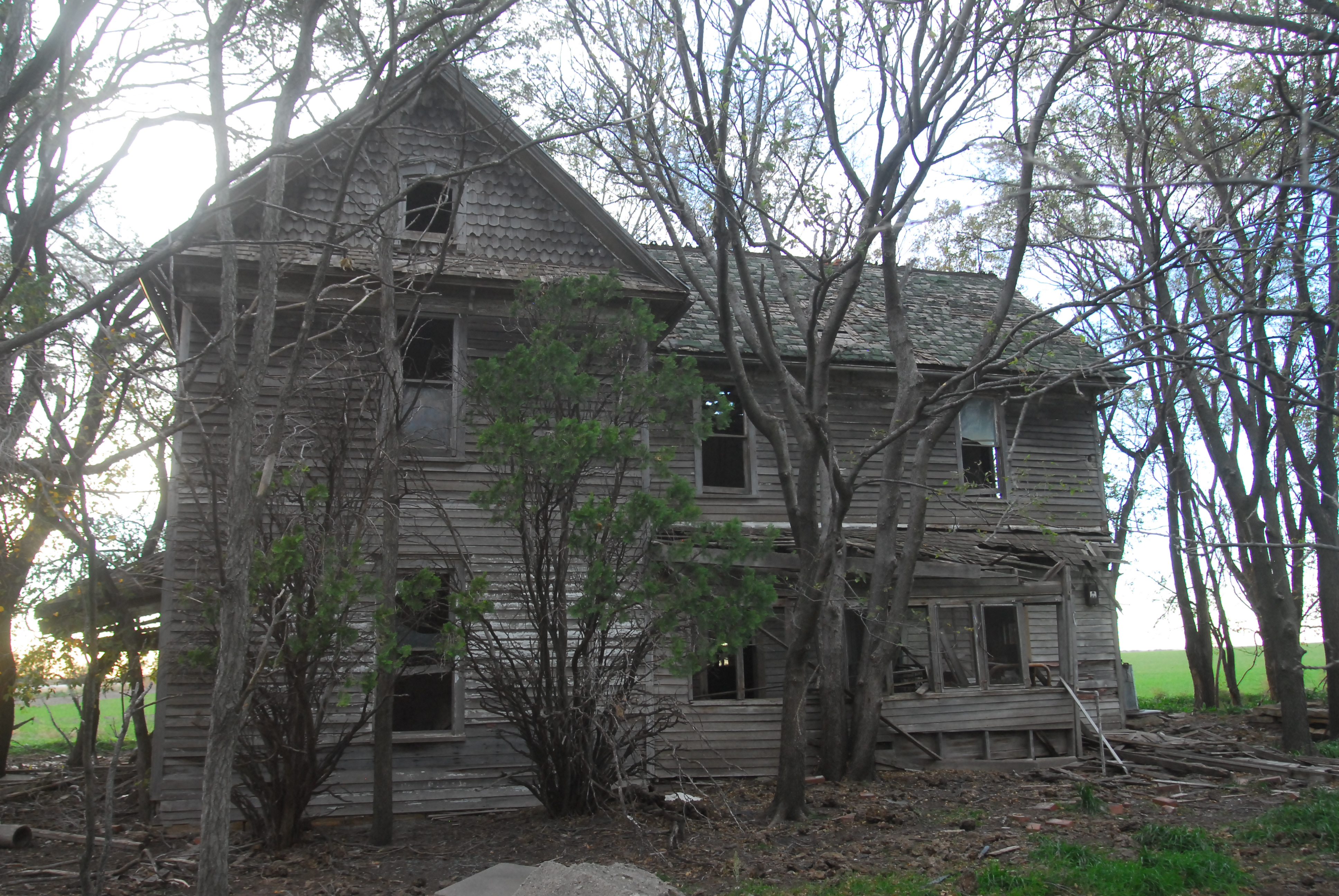
Somebody Lived Here!

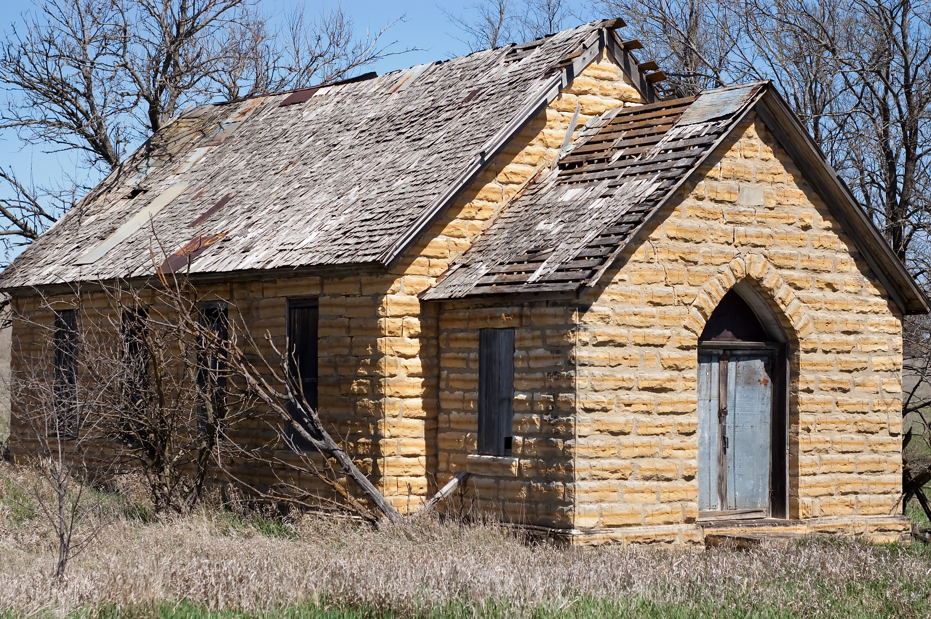
Post Office 67418 (Barnard, Kansas)
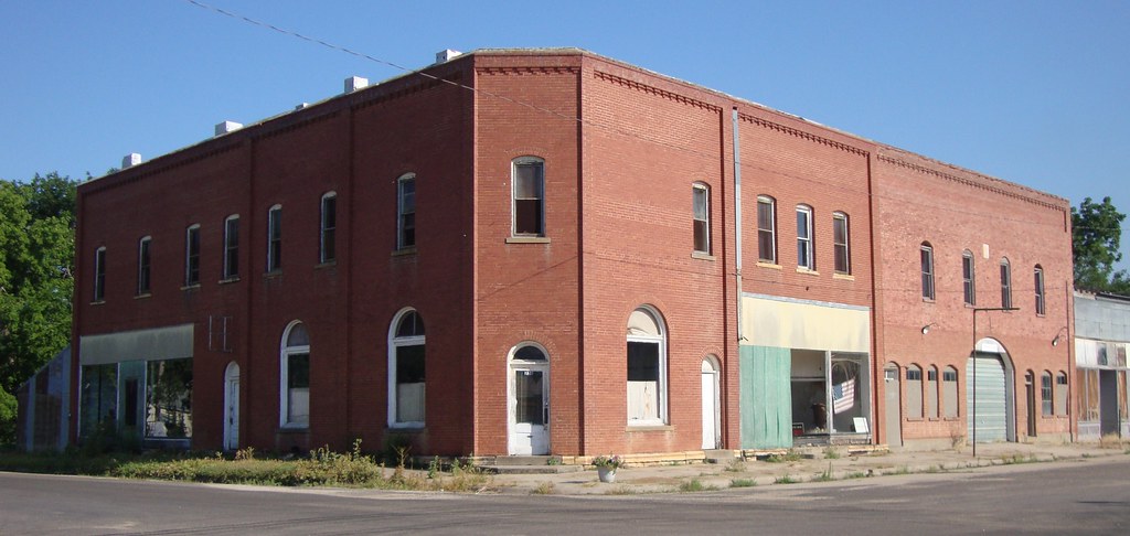
Storefront Building (Barnard, Kansas)
lincoln County
Topographic Map of Barnard, KS, USA
Find elevation by address:

Places in Barnard, KS, USA:
Places near Barnard, KS, USA:
Mills Ave, Barnard, KS, USA
Scott
1890 N 215th Rd
1890 N 215th Rd
Beaver
Logan
Beverly
Main St, Beverly, KS, USA
Lincoln County
Colorado
Solomon
Glasco
Main St, Beverly, KS, USA
Main St, Lincoln, KS, USA
301 N Spear St
Orange
Madison
Grant
Glendale
Union Rd, Sylvan Grove, KS, USA
Recent Searches:
- Elevation of Elwyn Dr, Roanoke Rapids, NC, USA
- Elevation of Congressional Dr, Stevensville, MD, USA
- Elevation of Bellview Rd, McLean, VA, USA
- Elevation of Stage Island Rd, Chatham, MA, USA
- Elevation of Shibuya Scramble Crossing, 21 Udagawacho, Shibuya City, Tokyo -, Japan
- Elevation of Jadagoniai, Kaunas District Municipality, Lithuania
- Elevation of Pagonija rock, Kranto 7-oji g. 8"N, Kaunas, Lithuania
- Elevation of Co Rd 87, Jamestown, CO, USA
- Elevation of Tenjo, Cundinamarca, Colombia
- Elevation of Côte-des-Neiges, Montreal, QC H4A 3J6, Canada