Elevation of Colorado, KS, USA
Location: United States > Kansas > Lincoln County >
Longitude: -97.981084
Latitude: 38.9853424
Elevation: 407m / 1335feet
Barometric Pressure: 97KPa
Elevation Map:
Satellite Map:
Related Photos:

Clothing For Sale

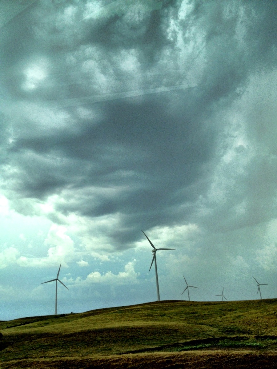
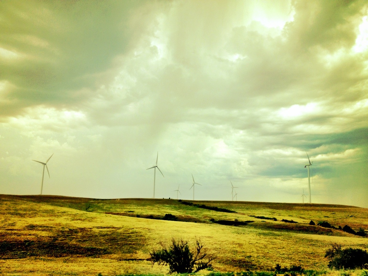
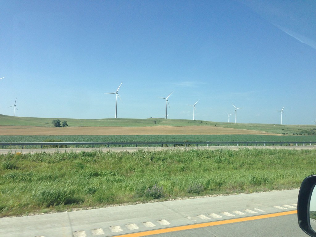
Wind Power from Nowhere
Camera Roll-730
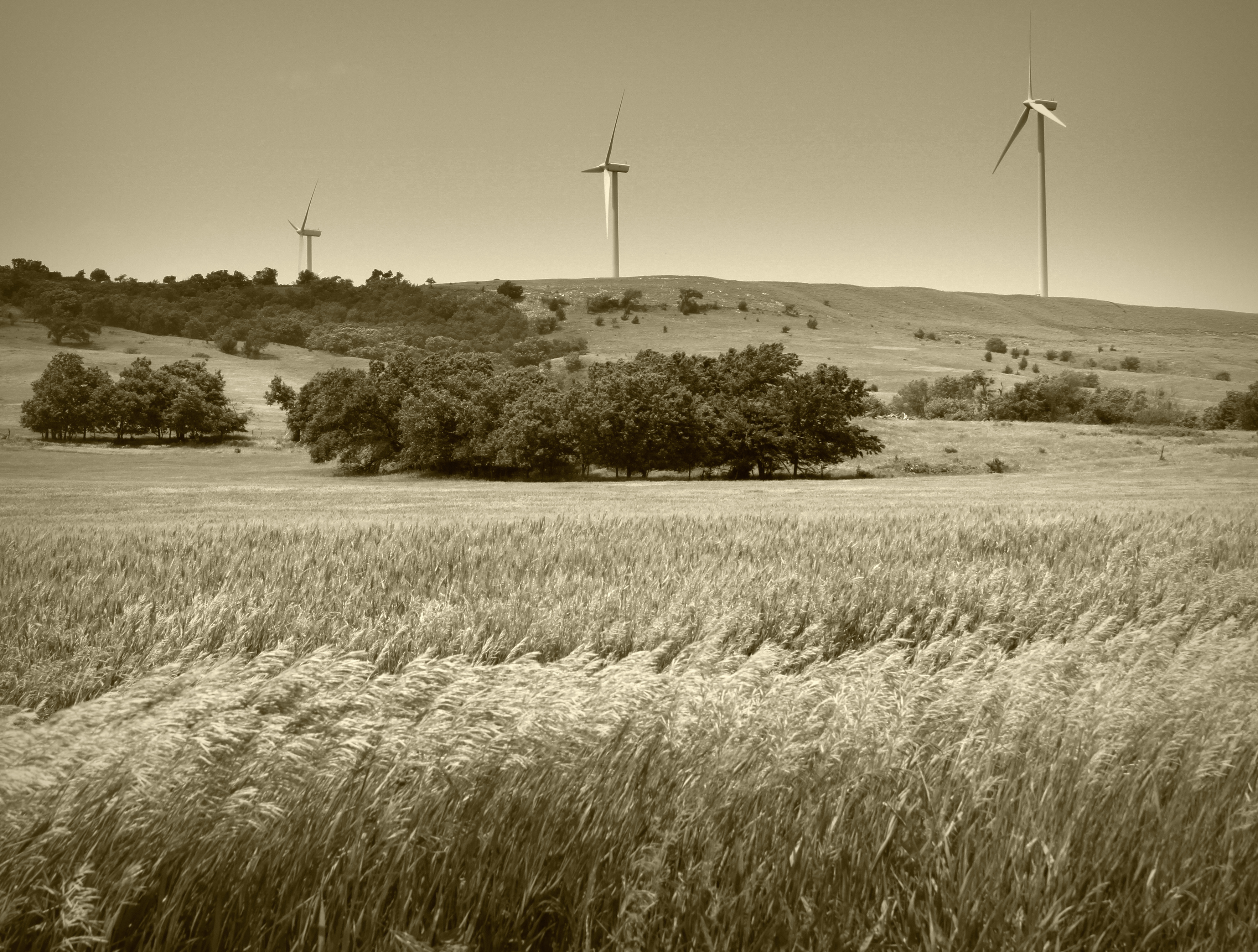
Clean Energy... #engineering #energy #travel #roadtrip #road #sights
IMG_1808.jpg
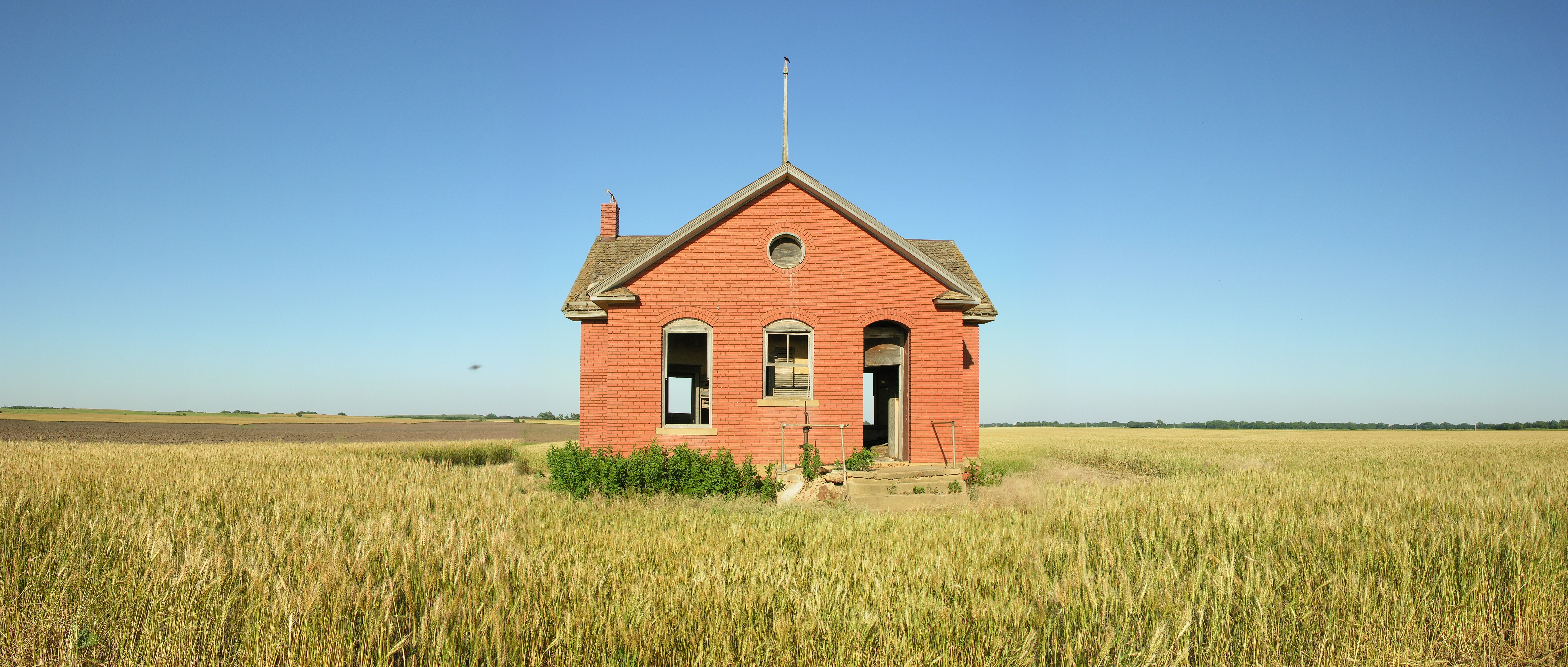
Redbrick School

IMG_0145.JPG
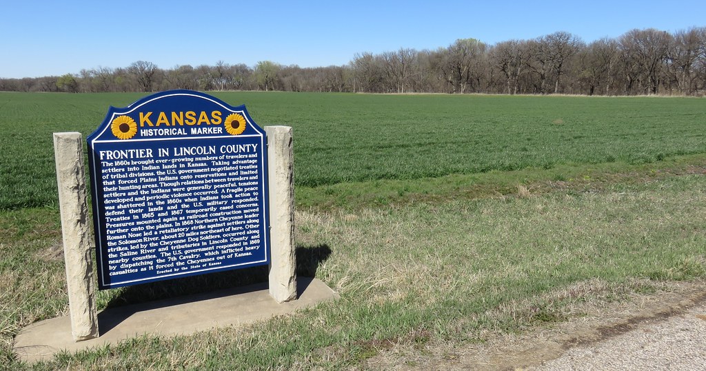
Frontier in Lincoln County Marker and Landscape (Lincoln County, Kansas)
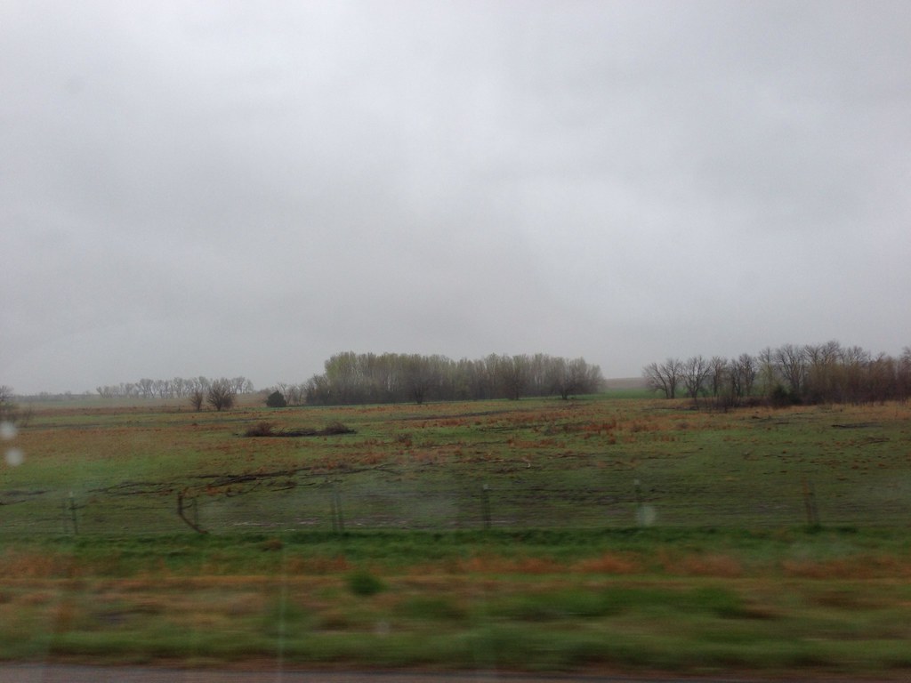
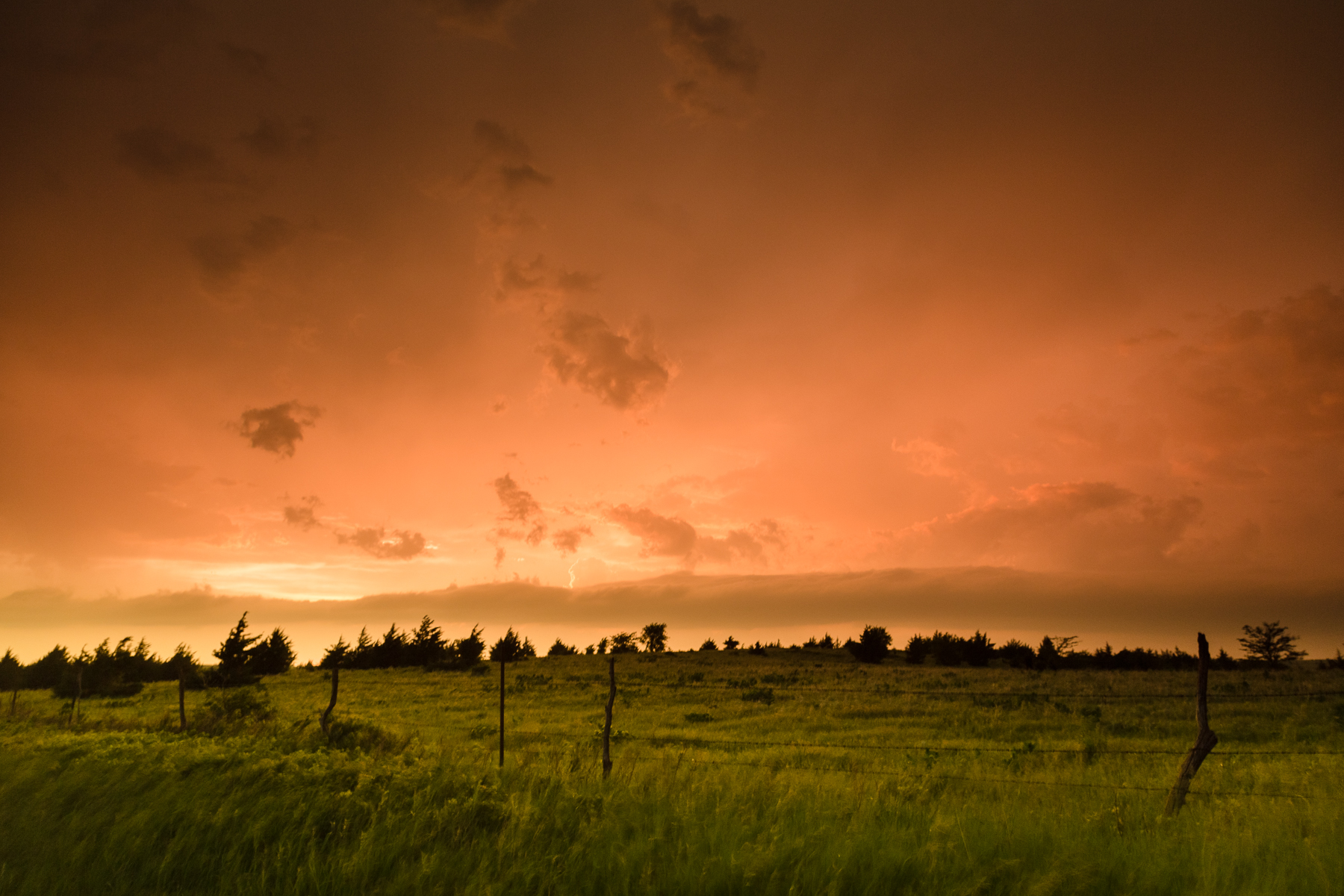
Middle of nowhere Kansas
Camera Roll-731

Camera Roll-131
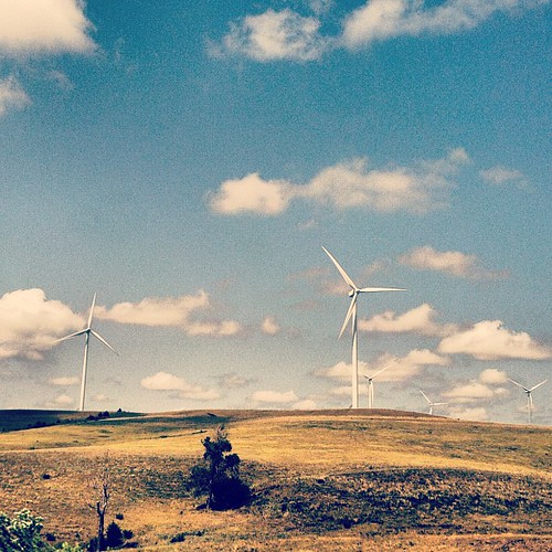
Smoky Hills Wind Farm
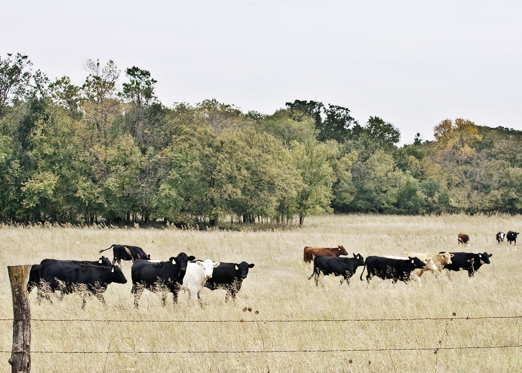
cows for kg
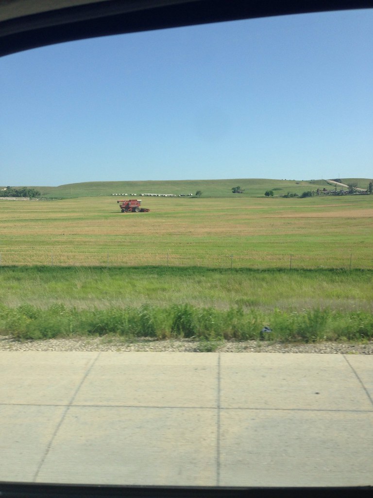
Heading back through Kansas
Lots of wind in Oklahoma
Topographic Map of Colorado, KS, USA
Find elevation by address:

Places in Colorado, KS, USA:
Places near Colorado, KS, USA:
Main St, Beverly, KS, USA
Beverly
Main St, Beverly, KS, USA
Madison
Glendale
E 3rd St, Brookville, KS, USA
Beaver
1890 N 215th Rd
1890 N 215th Rd
Barnard
Mills Ave, Barnard, KS, USA
Spring Creek
Pleasant Valley
Scott
Brookville
W 3rd St, Brookville, KS, USA
Carneiro
204 S 1st St
Main St, Salina, KS, USA
W Humbarger Rd, Tescott, KS, USA
Recent Searches:
- Elevation of Elwyn Dr, Roanoke Rapids, NC, USA
- Elevation of Congressional Dr, Stevensville, MD, USA
- Elevation of Bellview Rd, McLean, VA, USA
- Elevation of Stage Island Rd, Chatham, MA, USA
- Elevation of Shibuya Scramble Crossing, 21 Udagawacho, Shibuya City, Tokyo -, Japan
- Elevation of Jadagoniai, Kaunas District Municipality, Lithuania
- Elevation of Pagonija rock, Kranto 7-oji g. 8"N, Kaunas, Lithuania
- Elevation of Co Rd 87, Jamestown, CO, USA
- Elevation of Tenjo, Cundinamarca, Colombia
- Elevation of Côte-des-Neiges, Montreal, QC H4A 3J6, Canada