Elevation of Main St, Beverly, KS, USA
Location: United States > Kansas > Lincoln County > Madison >
Longitude: -98.012445
Latitude: 38.9293951
Elevation: 436m / 1430feet
Barometric Pressure: 96KPa
Elevation Map:
Satellite Map:
Related Photos:
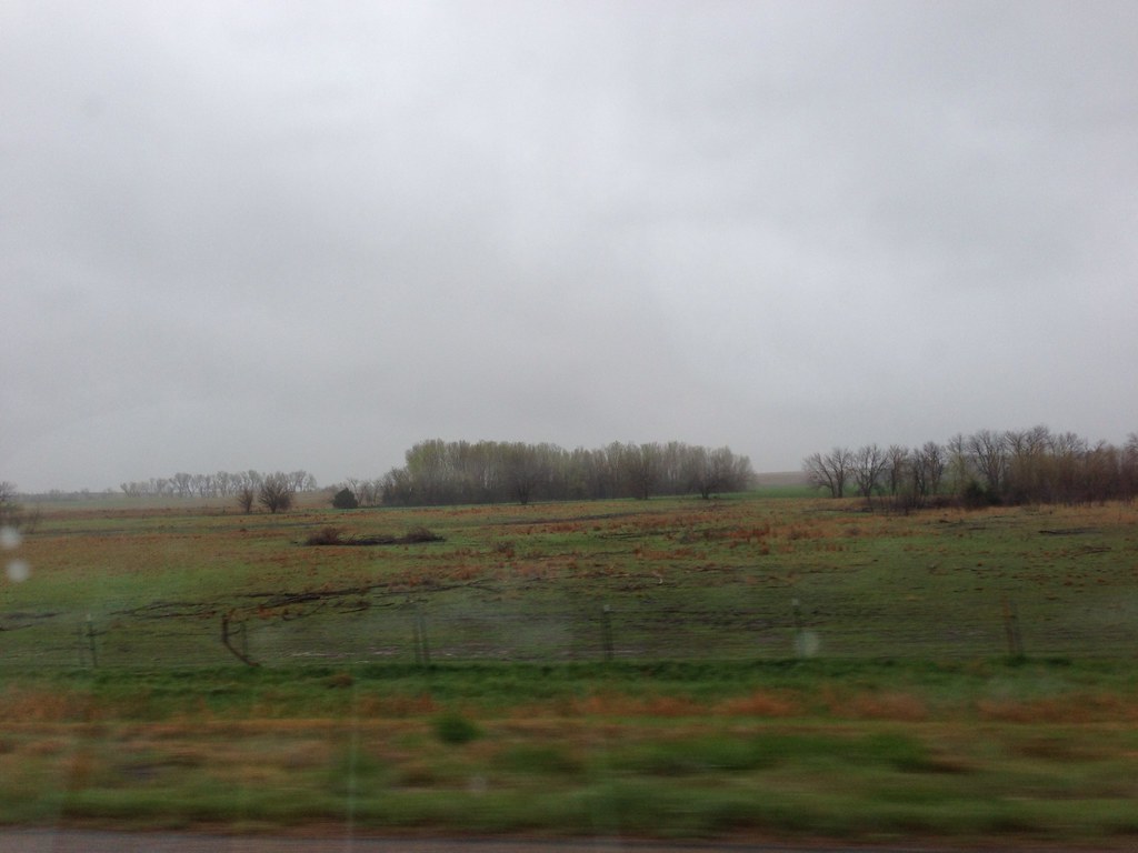
The View Behind The Rest Stop

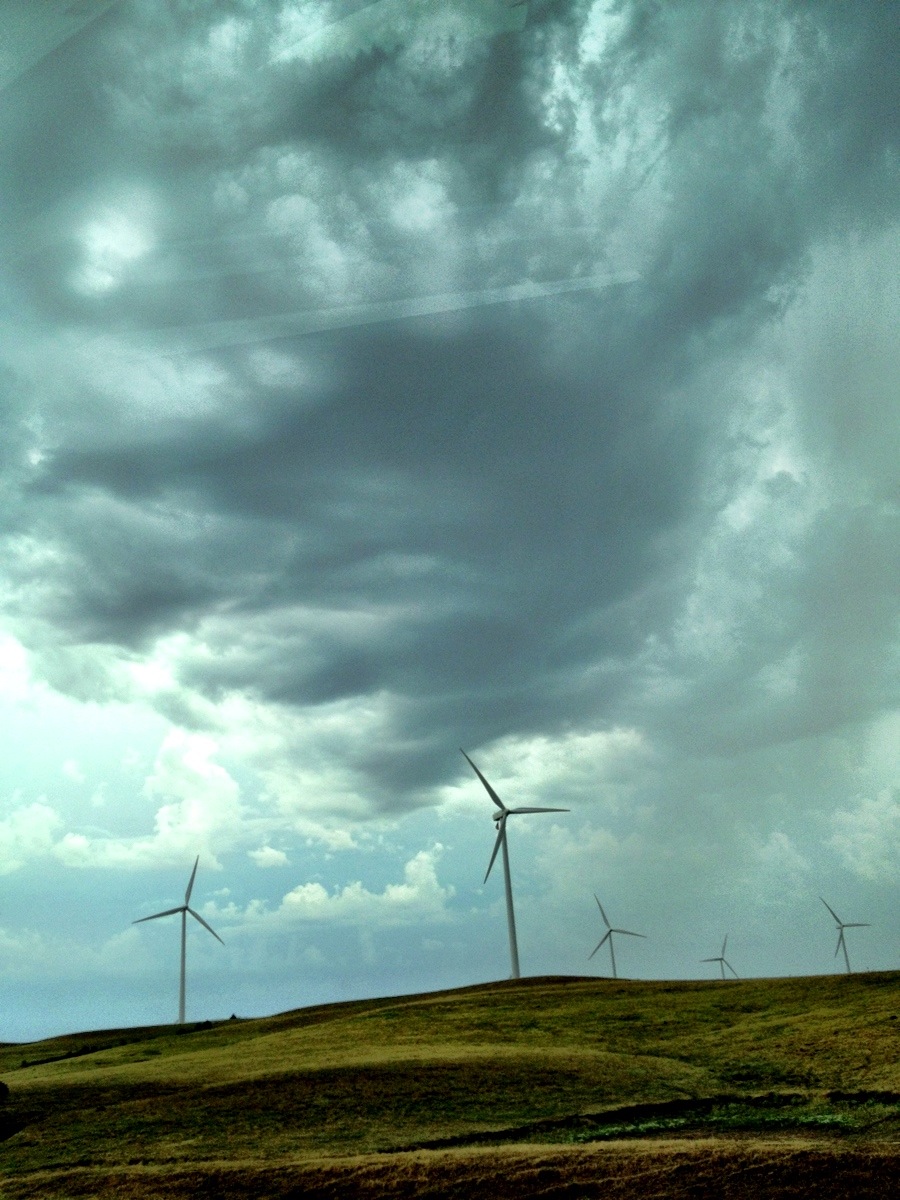
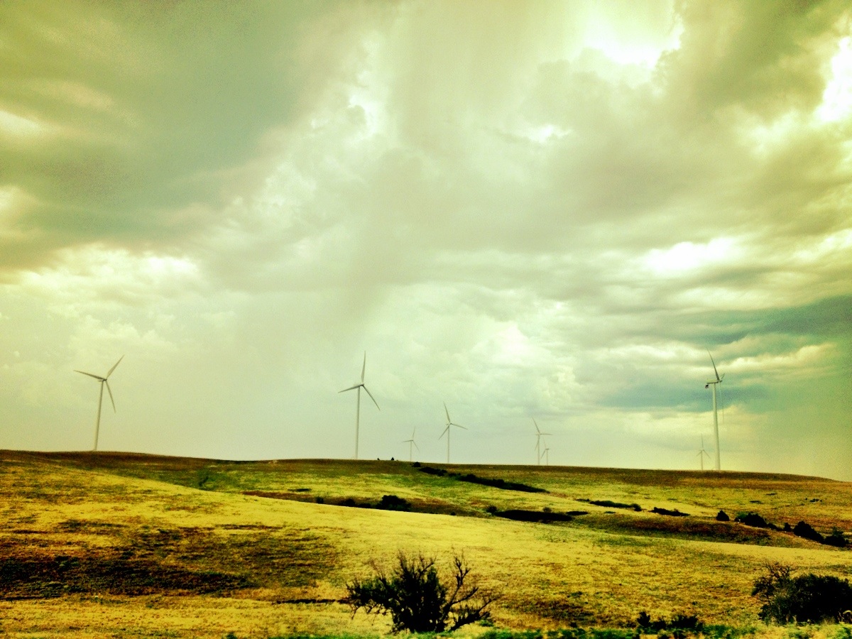
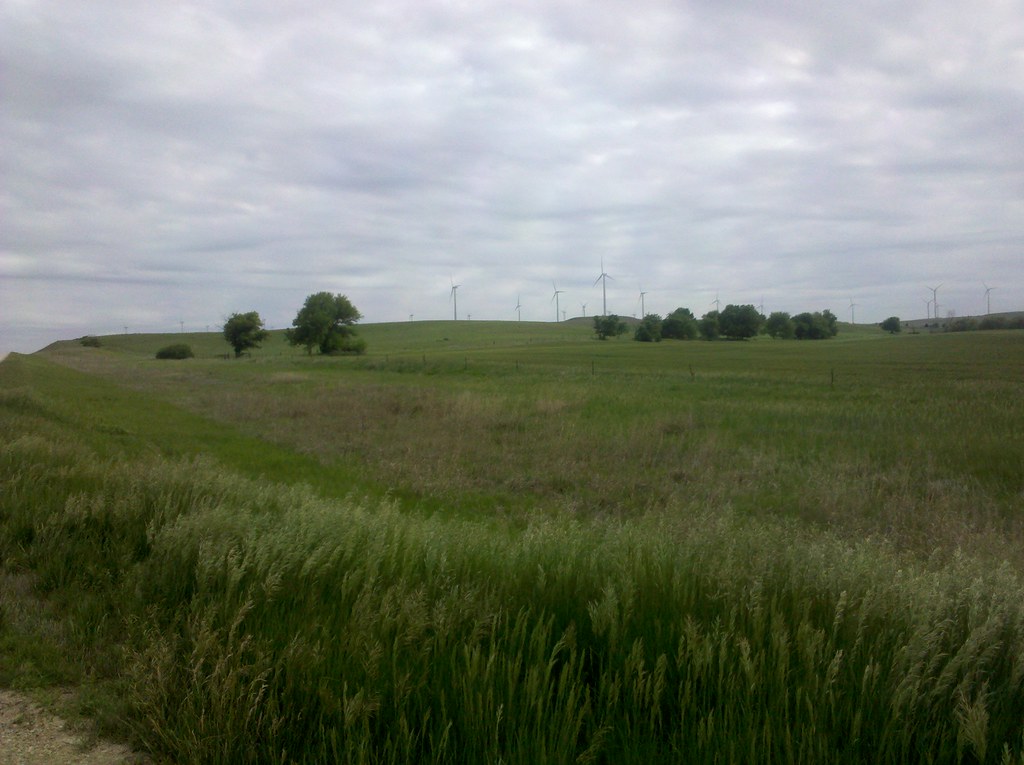
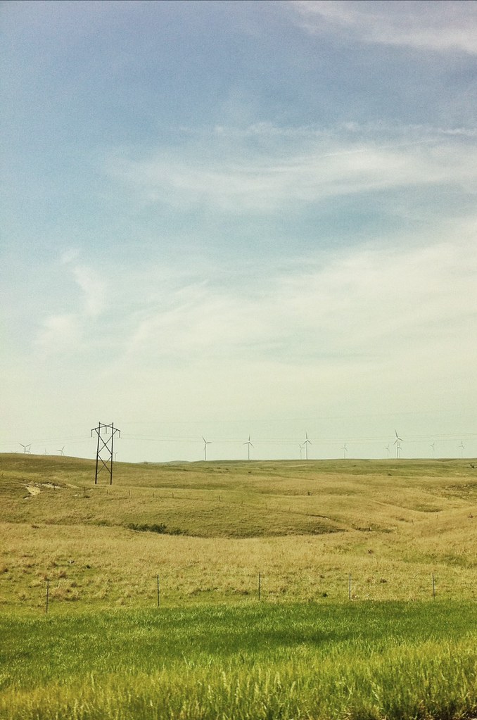
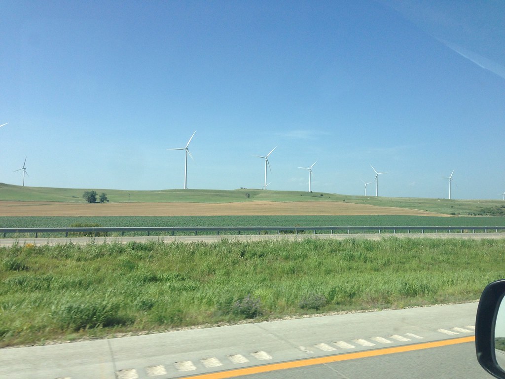
Wind Power from Nowhere
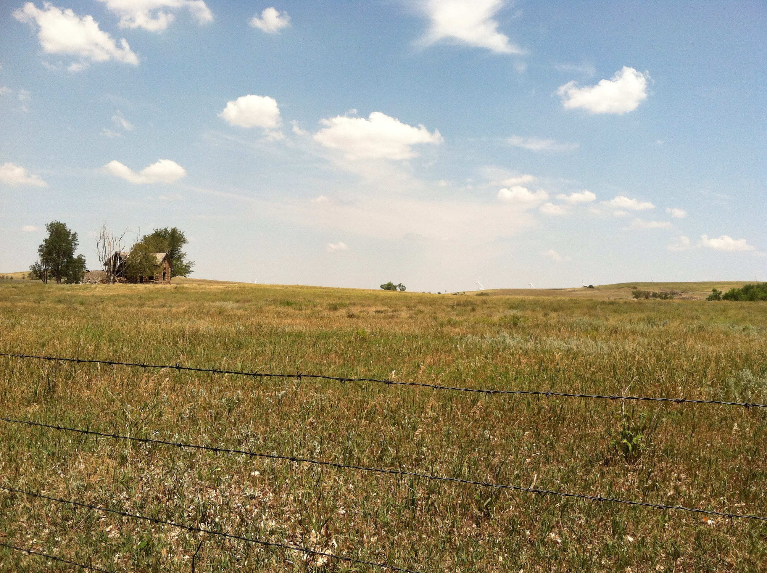
Middle of nowhere Kansas
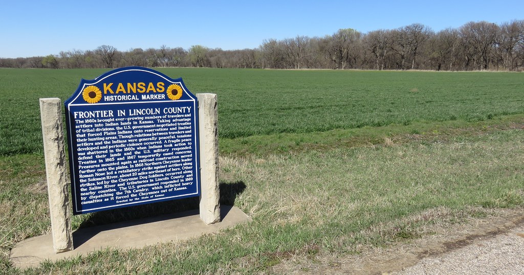
Frontier in Lincoln County Marker and Landscape (Lincoln County, Kansas)
Camera Roll-730
Camera Roll-731

RoadTrip 201207300026
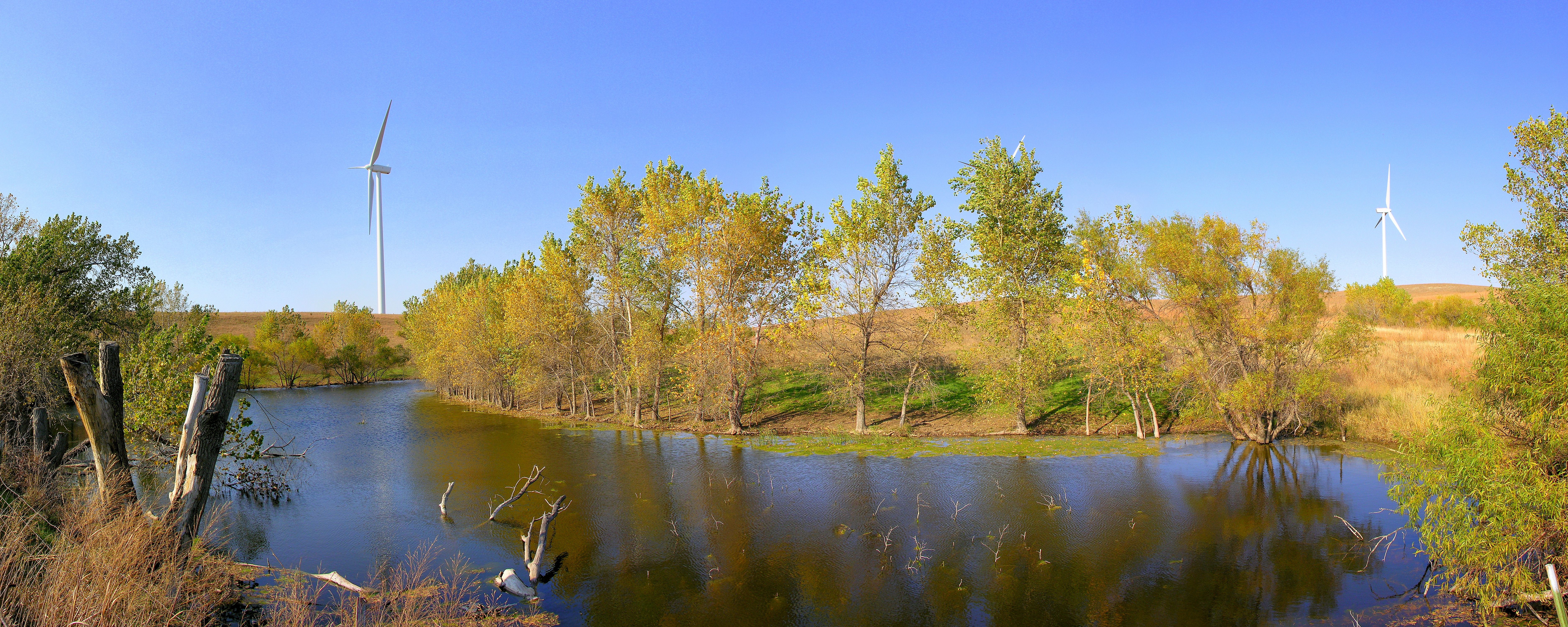
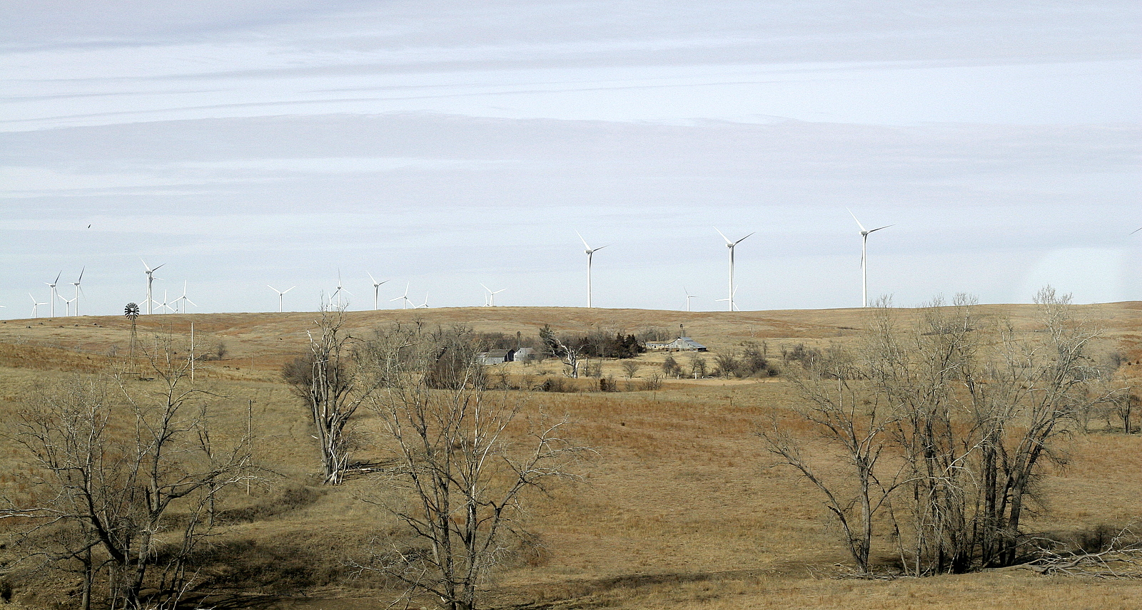
Lincoln Wind Farm

Camera Roll-131
Clean Energy... #engineering #energy #travel #roadtrip #road #sights
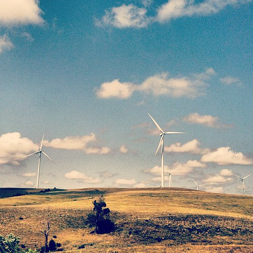
Smoky Hills Wind Farm
Wind power

Kansas Countryside
IMG_1808.jpg
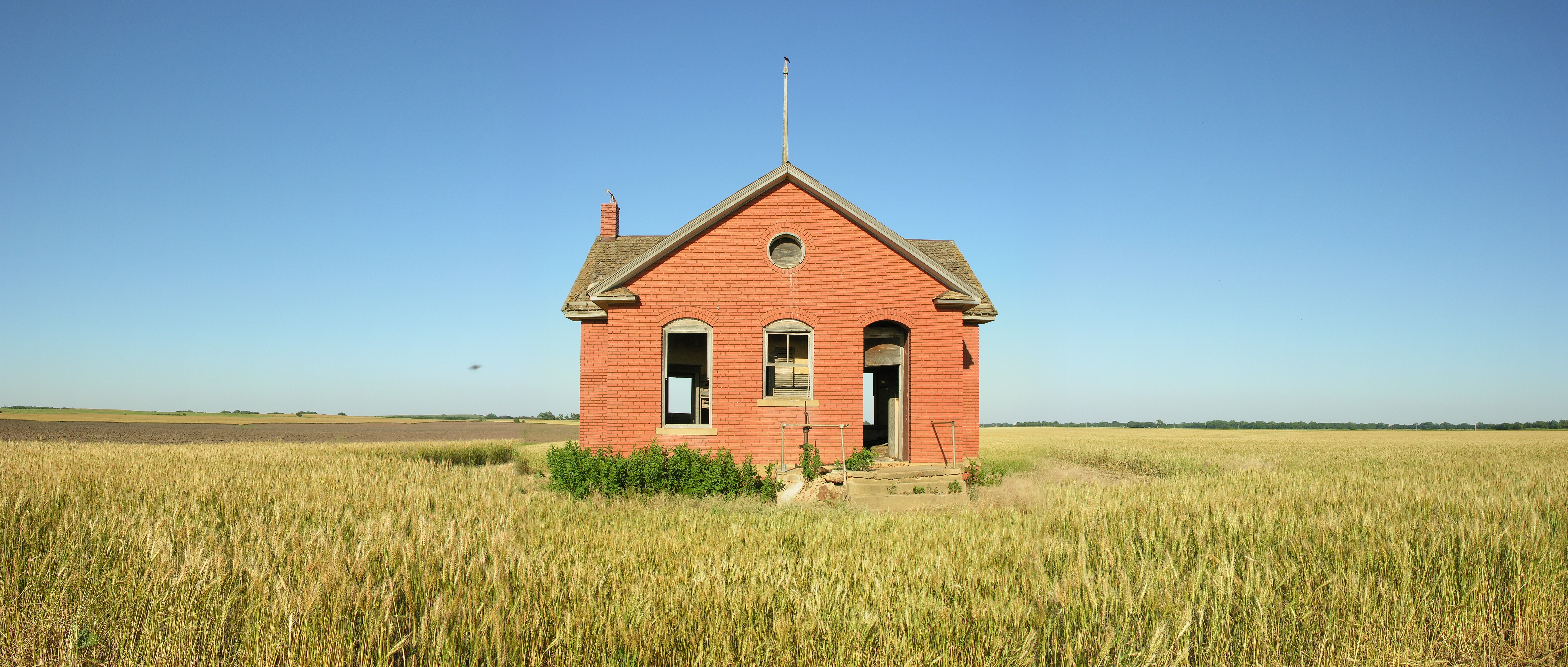
Redbrick School
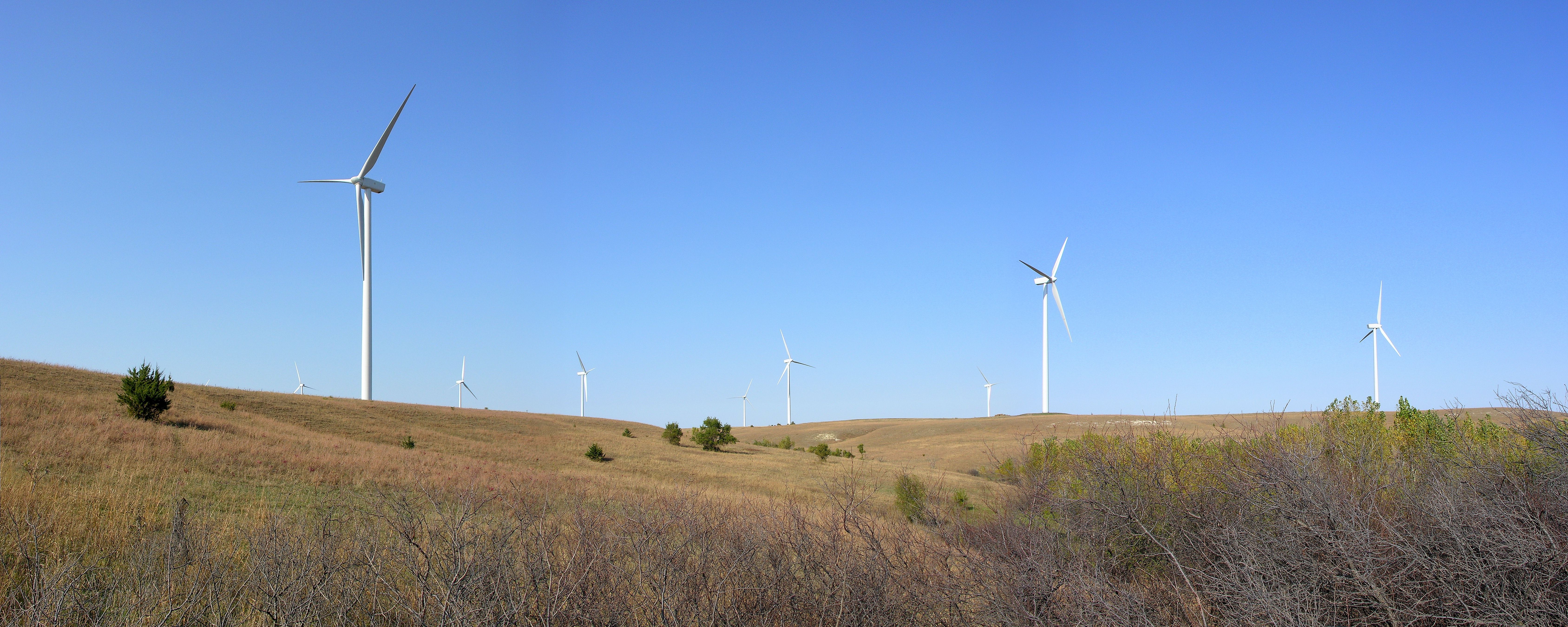
Lincoln Wind Farm
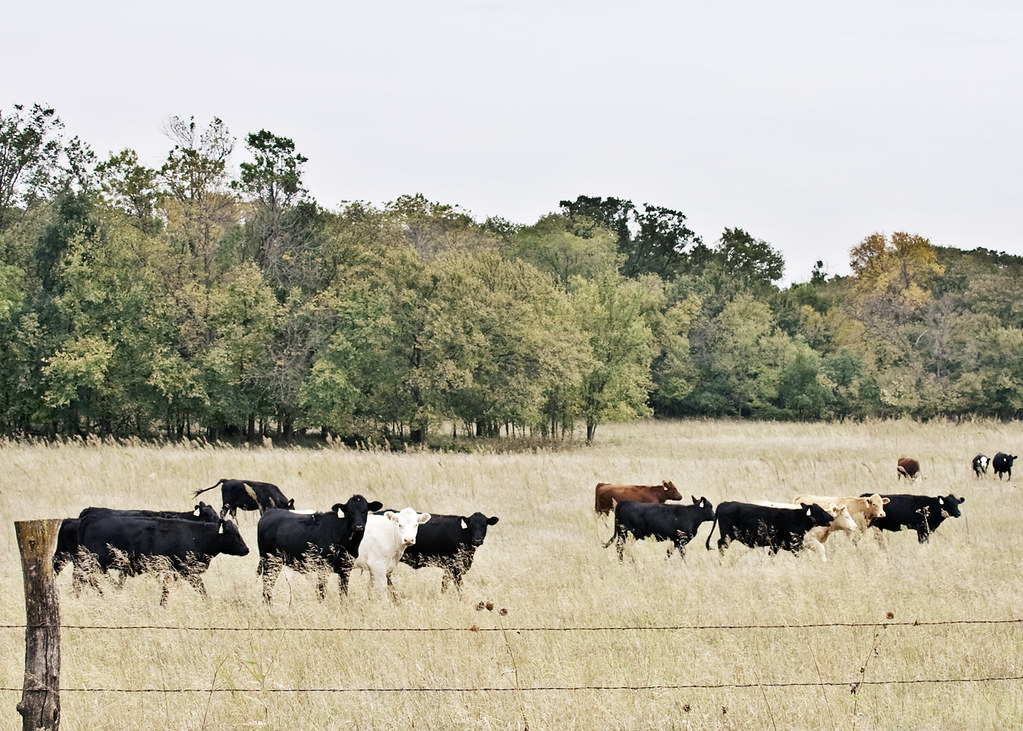
cows for kg
Green Future Is Still Far

IMG_0145.JPG
IMG_8752.JPG
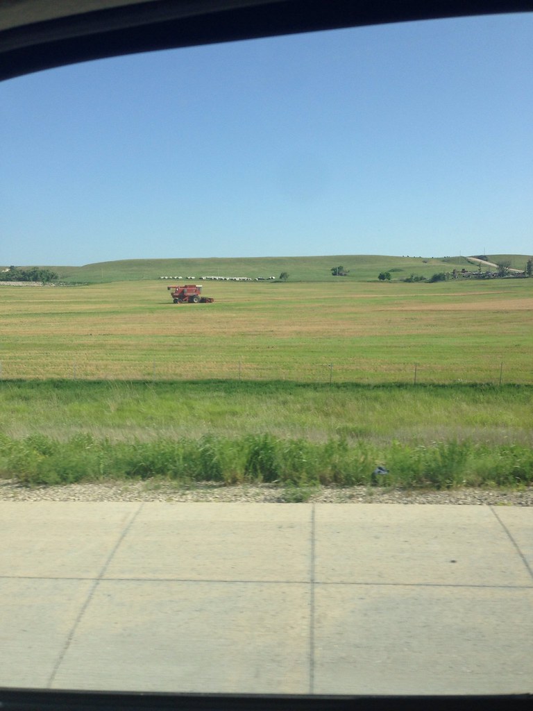
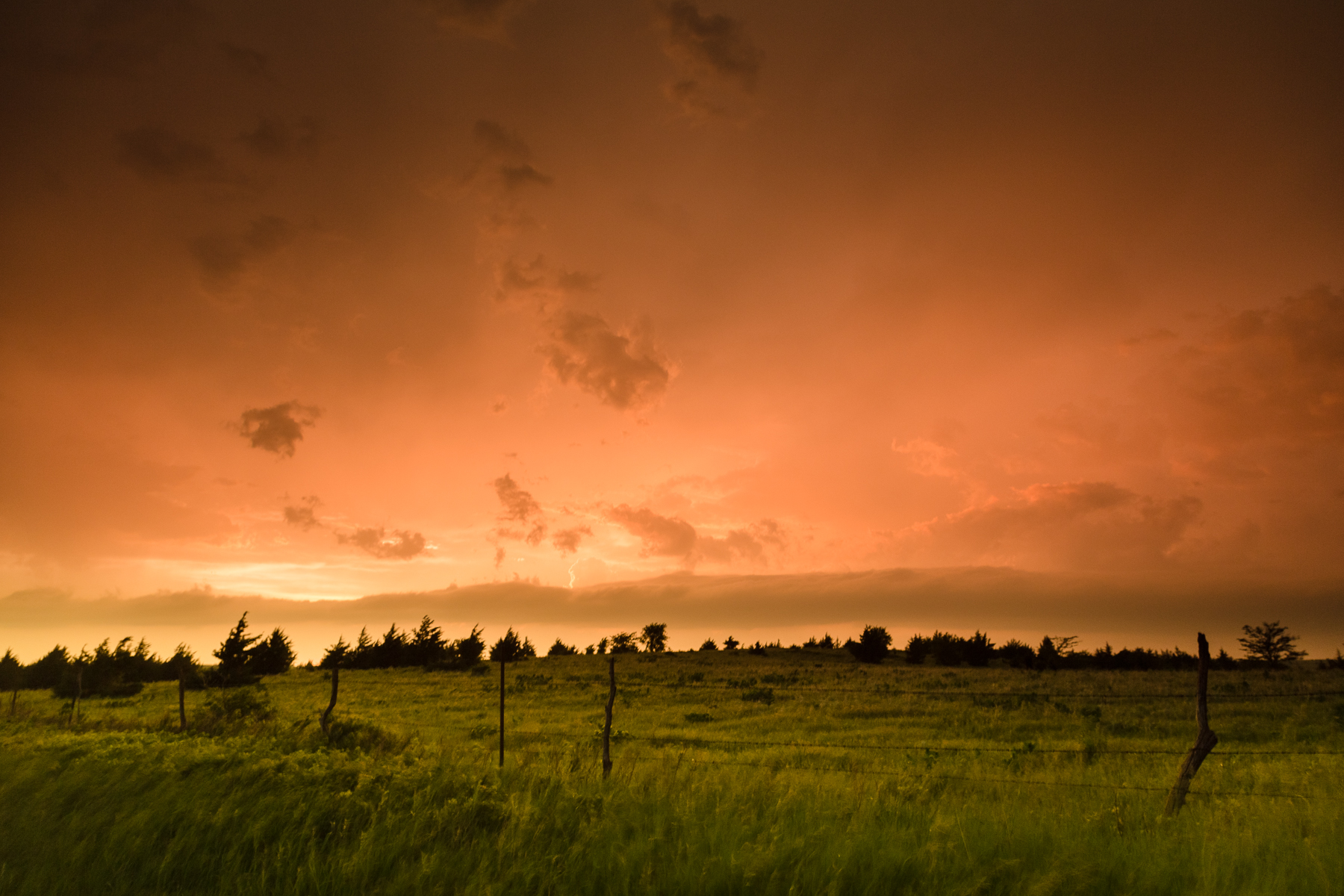
Heading back through Kansas
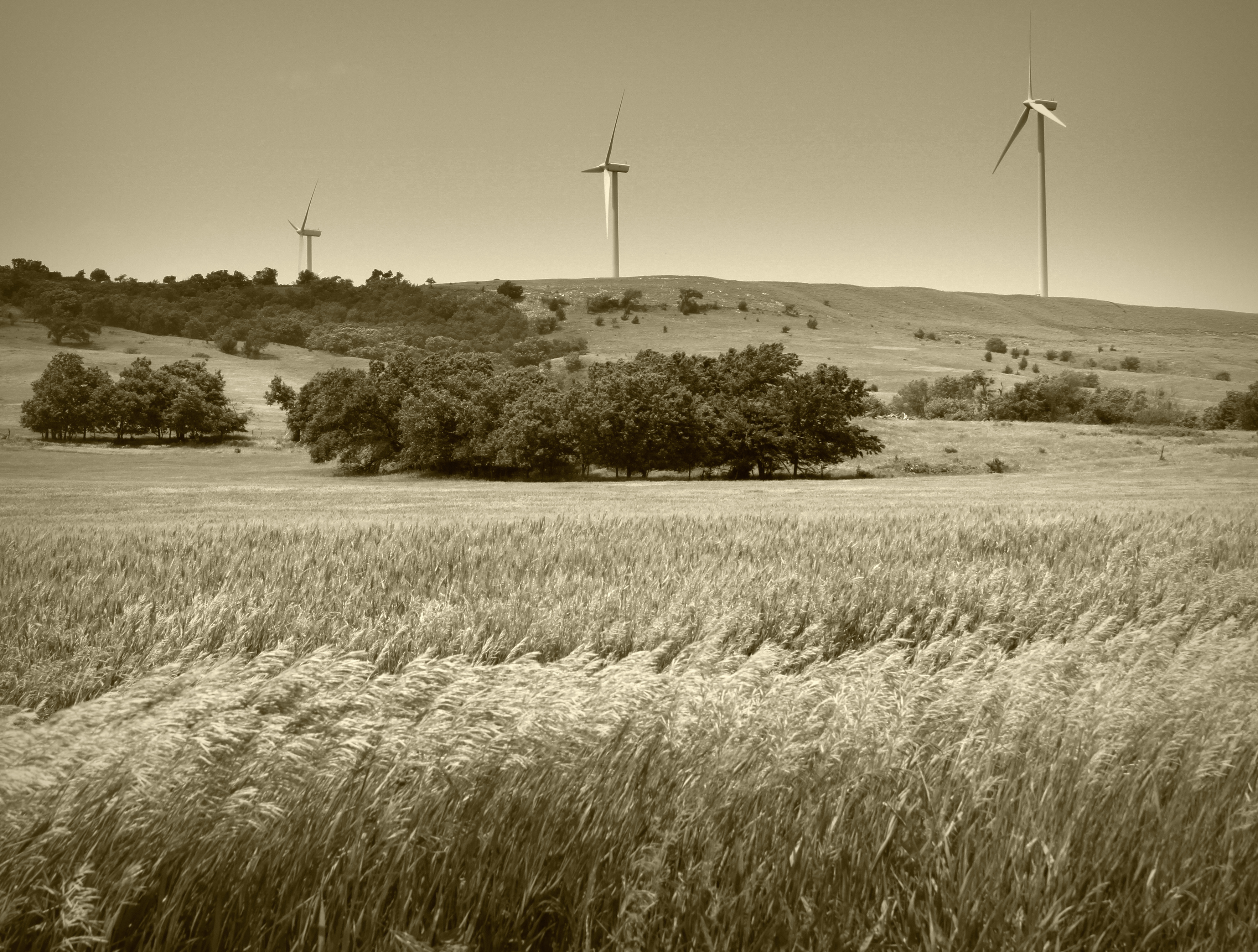
Lots of wind in Oklahoma
Topographic Map of Main St, Beverly, KS, USA
Find elevation by address:

Places near Main St, Beverly, KS, USA:
Madison
Colorado
Main St, Beverly, KS, USA
Beverly
Glendale
E 3rd St, Brookville, KS, USA
Spring Creek
Carneiro
Beaver
Mushroom Rock State Park
Brookville
W 3rd St, Brookville, KS, USA
1890 N 215th Rd
1890 N 215th Rd
Pleasant Valley
204 S 1st St
Main St, Salina, KS, USA
E A St, Kanopolis, KS, USA
Kanopolis
Barnard
Recent Searches:
- Elevation of Corso Fratelli Cairoli, 35, Macerata MC, Italy
- Elevation of Tallevast Rd, Sarasota, FL, USA
- Elevation of 4th St E, Sonoma, CA, USA
- Elevation of Black Hollow Rd, Pennsdale, PA, USA
- Elevation of Oakland Ave, Williamsport, PA, USA
- Elevation of Pedrógão Grande, Portugal
- Elevation of Klee Dr, Martinsburg, WV, USA
- Elevation of Via Roma, Pieranica CR, Italy
- Elevation of Tavkvetili Mountain, Georgia
- Elevation of Hartfords Bluff Cir, Mt Pleasant, SC, USA