Elevation of Logan, KS, USA
Location: United States > Kansas > Mitchell County >
Longitude: -97.981084
Latitude: 39.3574663
Elevation: 462m / 1516feet
Barometric Pressure: 96KPa
Elevation Map:
Satellite Map:
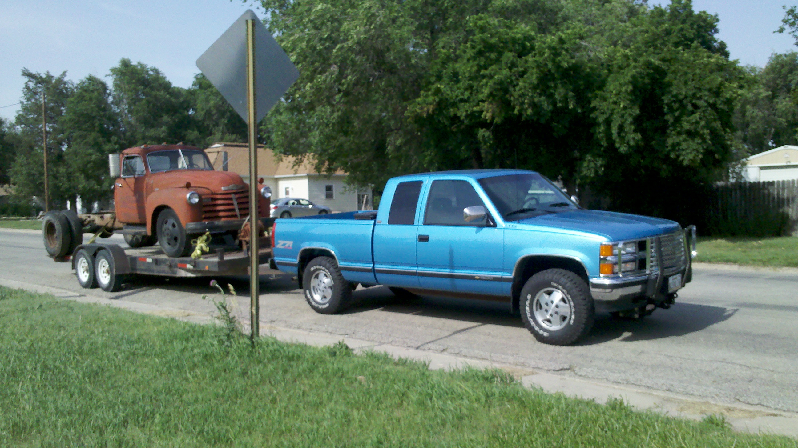
Related Photos:
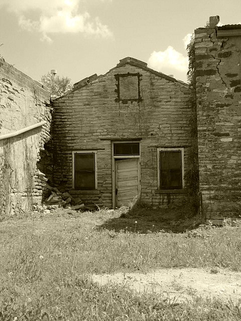
Crumbling
Reach for the Sky
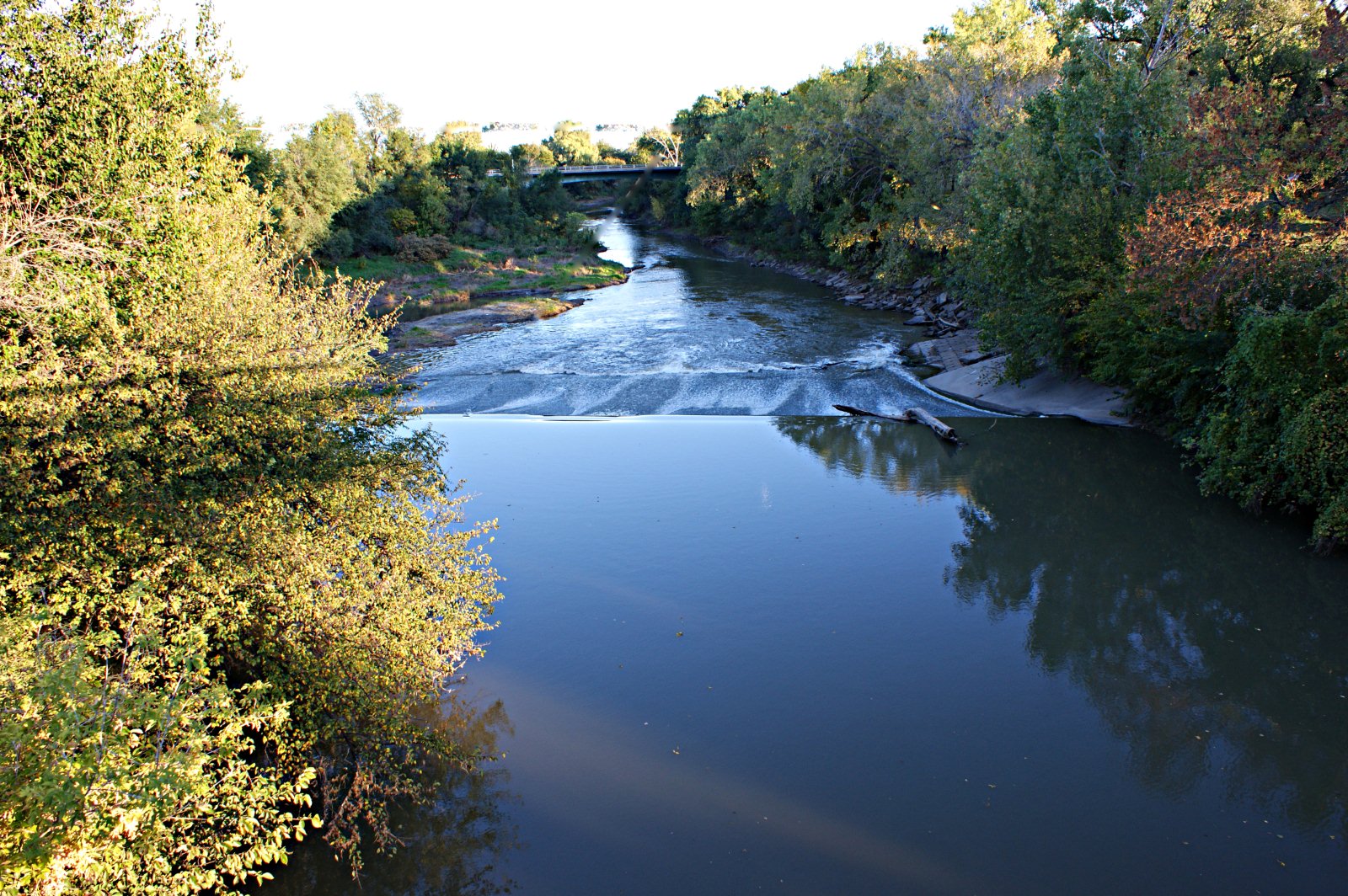
Solomon River
The Reward
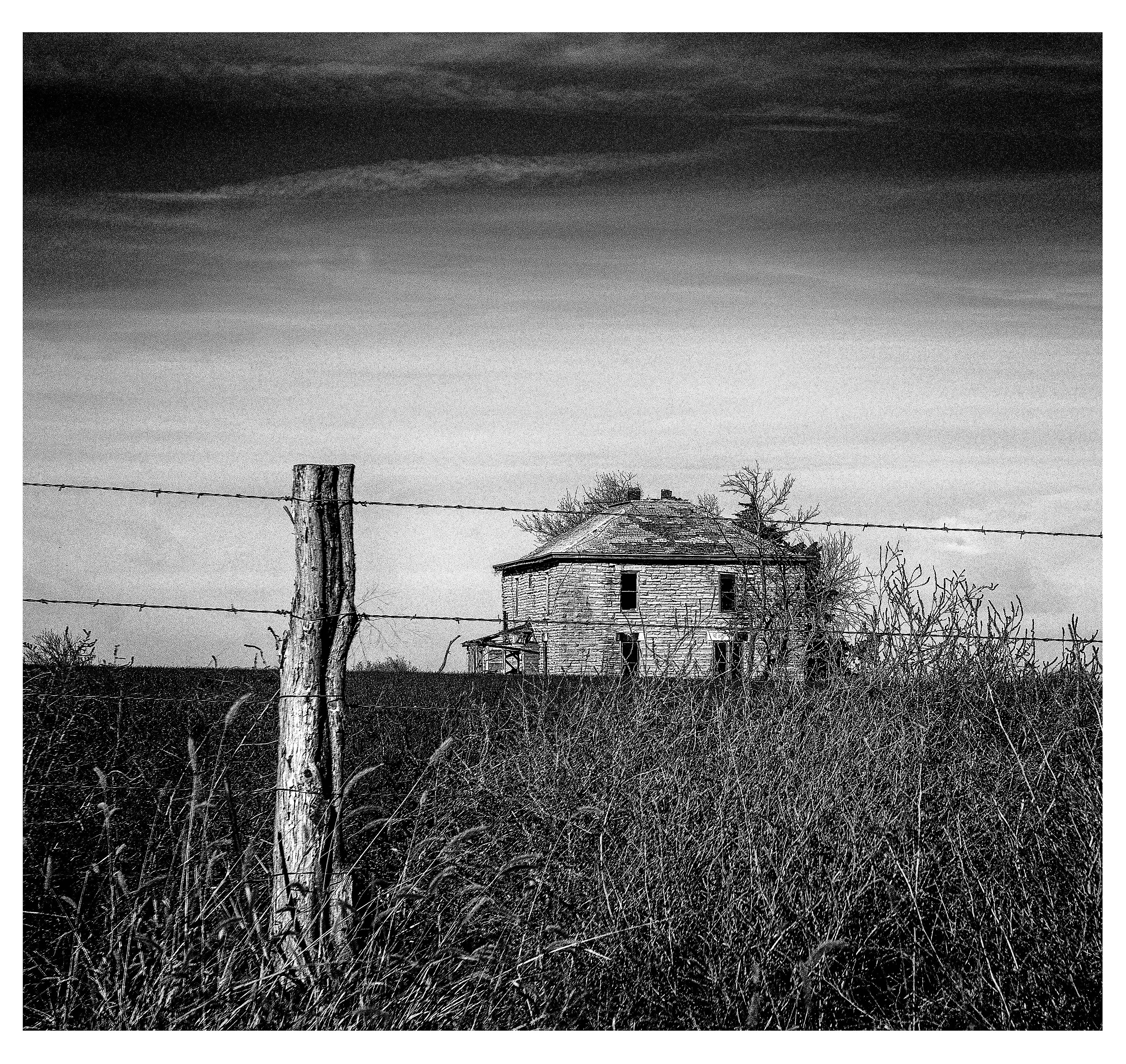
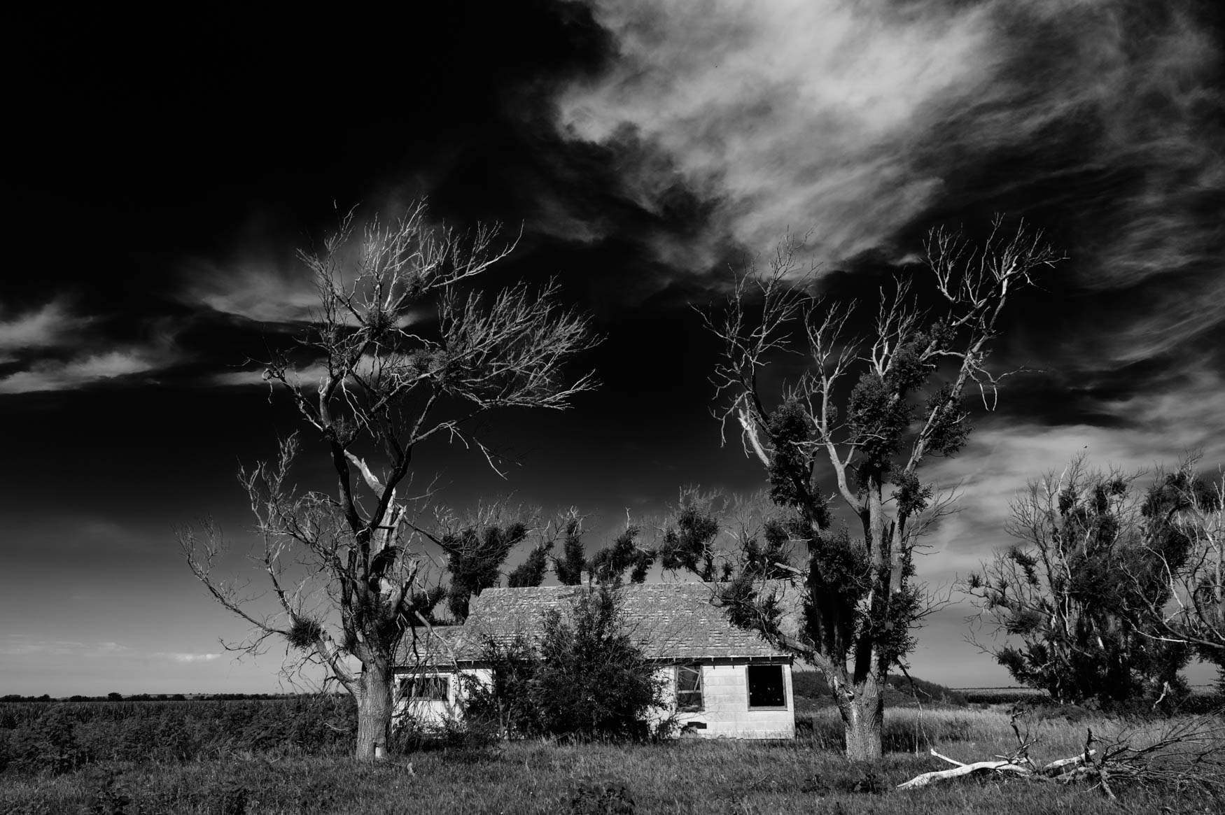
Faded Dreams

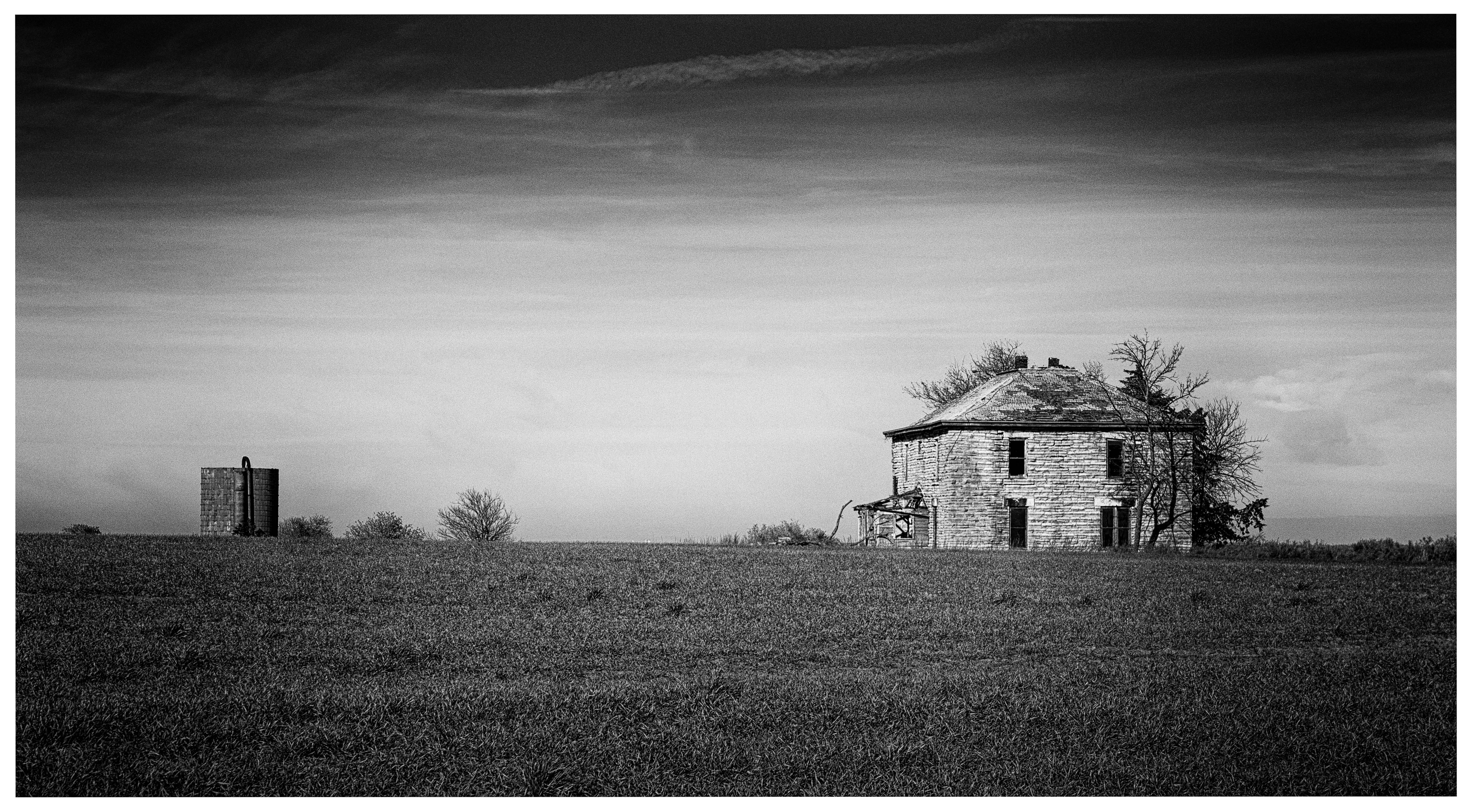
A new Lease

2013-06-22 17.23.59

2013-06-22 17.24.10

2013-06-22 17.24.30

2013-06-22 17.24.49
2013-06-22 17.25.04

2013-06-22 17.16.55

2013-06-22 17.16.39

2013-06-22 17.16.16
2013-06-22 16.32.12
2013-06-22 16.31.50
2013-06-22 16.31.38
2013-06-22 16.31.21

2013-06-22 16.31.14

2013-06-22 16.31.08

2013-06-22 16.30.38

2013-06-22 16.30.30

2013-06-22 16.30.09
Topographic Map of Logan, KS, USA
Find elevation by address:

Places in Logan, KS, USA:
Places near Logan, KS, USA:
Solomon
Glasco
301 N Spear St
Barnard
Mills Ave, Barnard, KS, USA
Scott
Lyon
1890 N 215th Rd
1890 N 215th Rd
Beaver
Lincoln County
Beverly
Main St, Beverly, KS, USA
Ottawa County
Colorado
Orange
N th Rd, Minneapolis, KS, USA
Main St, Lincoln, KS, USA
Main St, Beverly, KS, USA
1st St, Hunter, KS, USA
Recent Searches:
- Elevation of Leyte Industrial Development Estate, Isabel, Leyte, Philippines
- Elevation of W Granada St, Tampa, FL, USA
- Elevation of Pykes Down, Ivybridge PL21 0BY, UK
- Elevation of Jalan Senandin, Lutong, Miri, Sarawak, Malaysia
- Elevation of Bilohirs'k
- Elevation of 30 Oak Lawn Dr, Barkhamsted, CT, USA
- Elevation of Luther Road, Luther Rd, Auburn, CA, USA
- Elevation of Unnamed Road, Respublika Severnaya Osetiya — Alaniya, Russia
- Elevation of Verkhny Fiagdon, North Ossetia–Alania Republic, Russia
- Elevation of F. Viola Hiway, San Rafael, Bulacan, Philippines