Elevation of Baker County, FL, USA
Location: United States > Florida >
Longitude: -82.301772
Latitude: 30.3931168
Elevation: 38m / 125feet
Barometric Pressure: 101KPa
Elevation Map:
Satellite Map:
Related Photos:

Rainbow Road
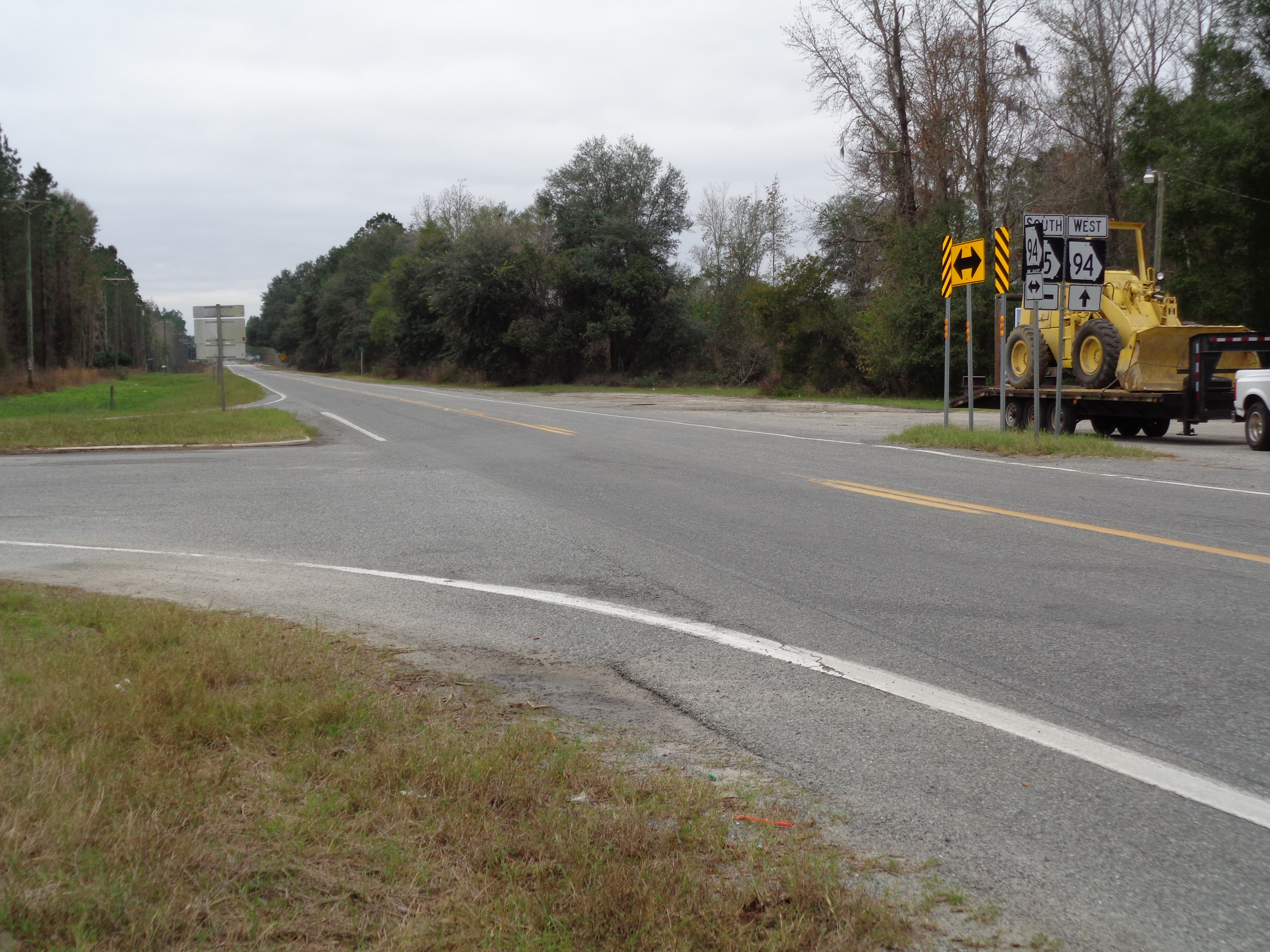
GA94 185 Intersection, Moniac

Lacy's Kountry Store, Moniac
Baker County boundary FLSR2WB

Charlton County boundary GASR94EB

Georgia welcome GASR94EB
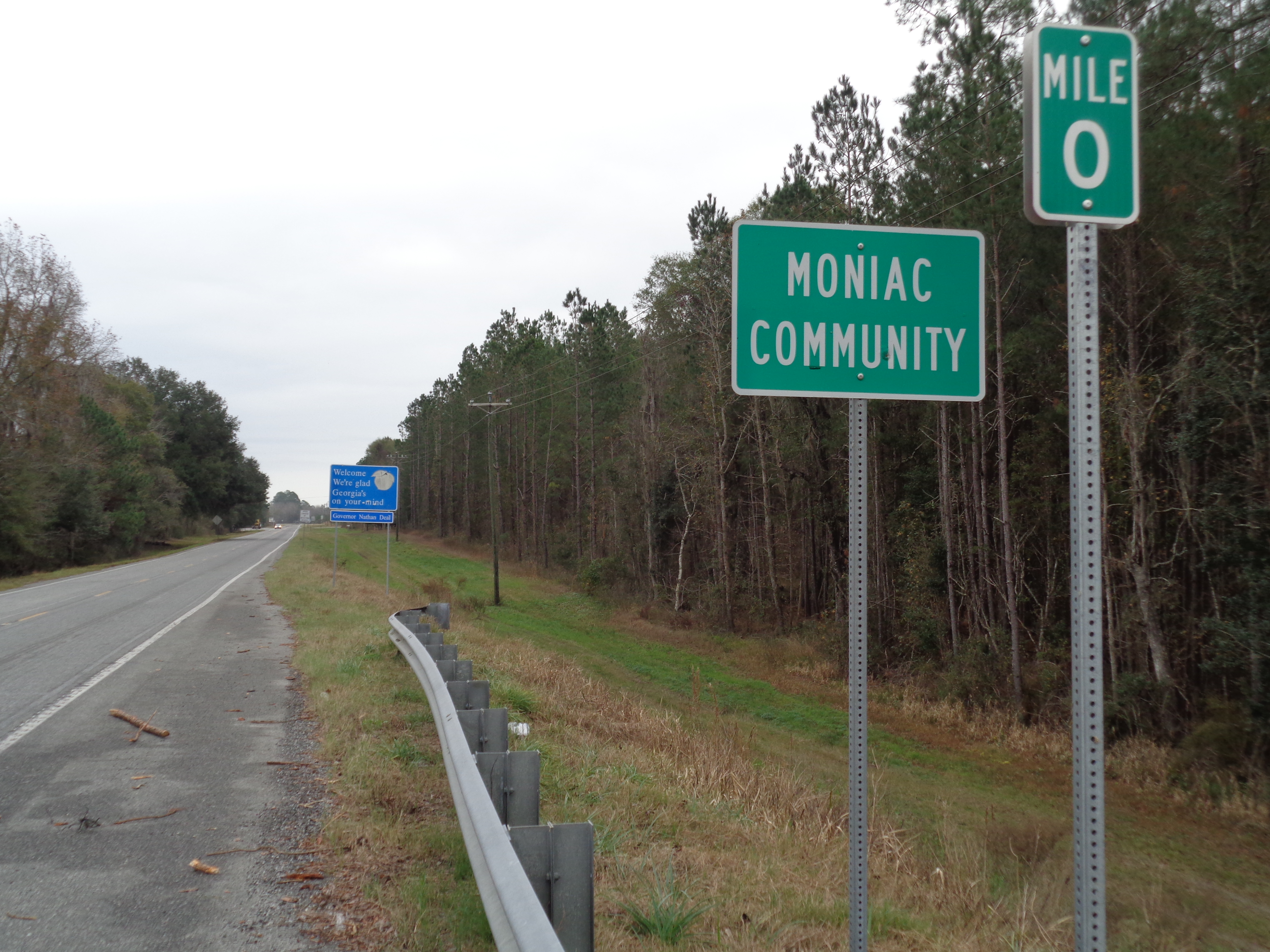
Moniac limit GASR94EB
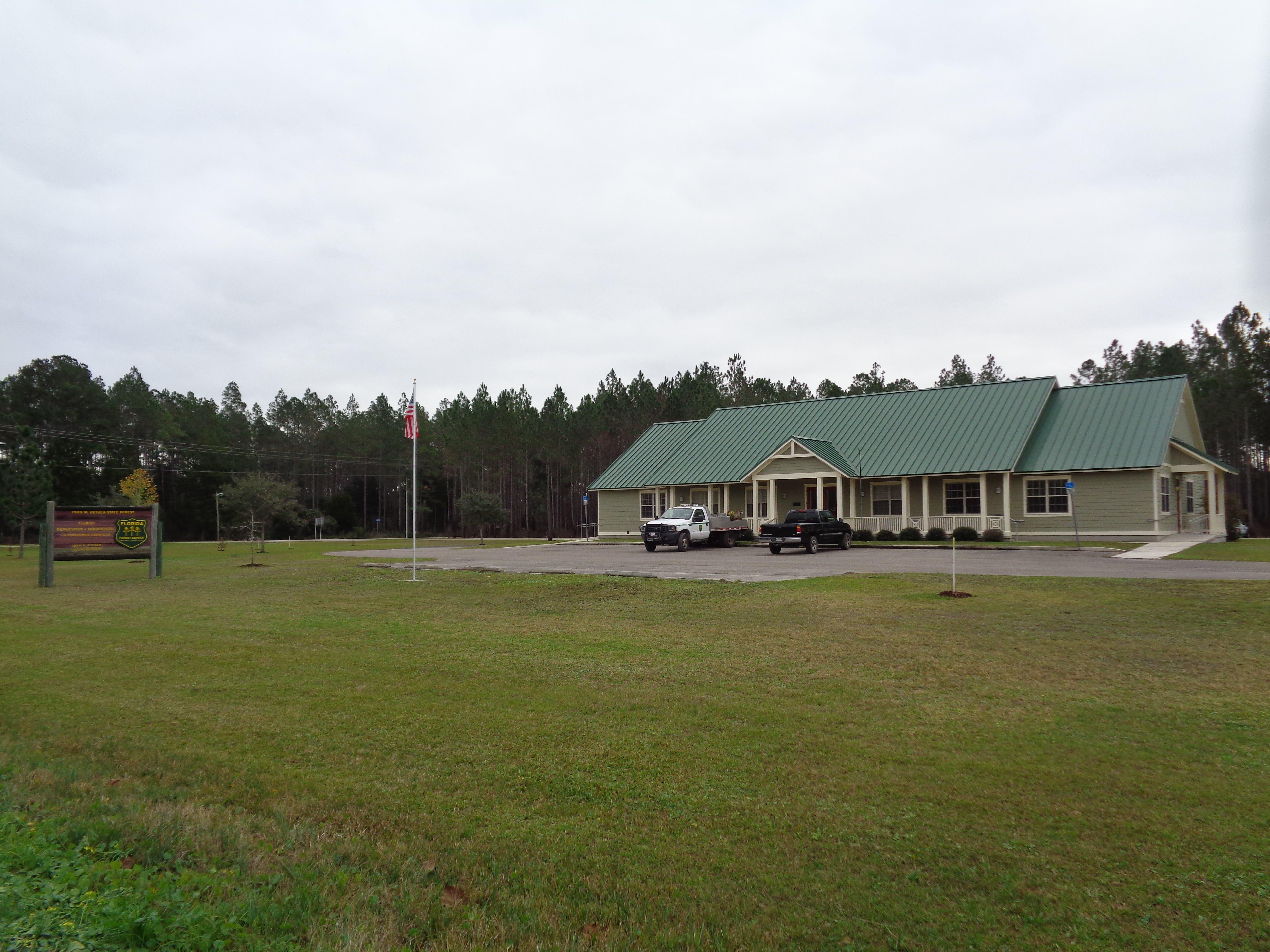
John M Bethea State Forest Office
End of the day HDR taken on my Nexus 6.
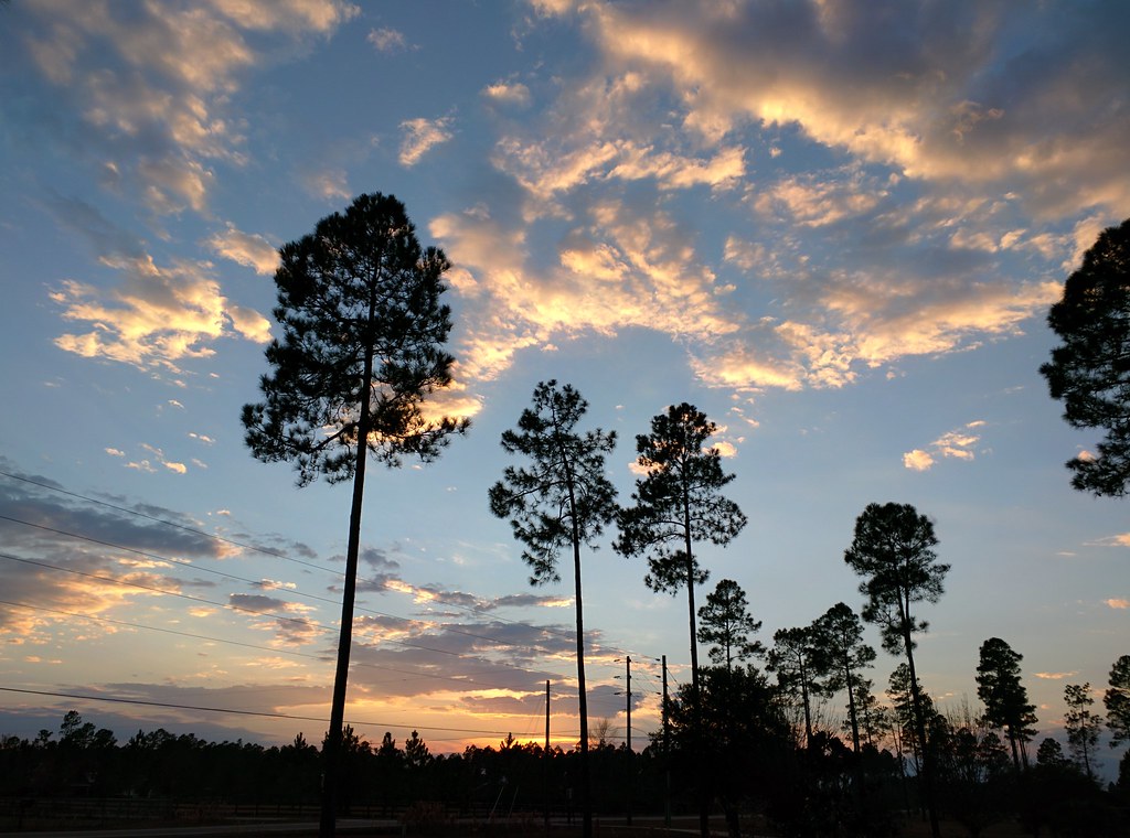
It's a Beautiful Day...

Stars and Lightning

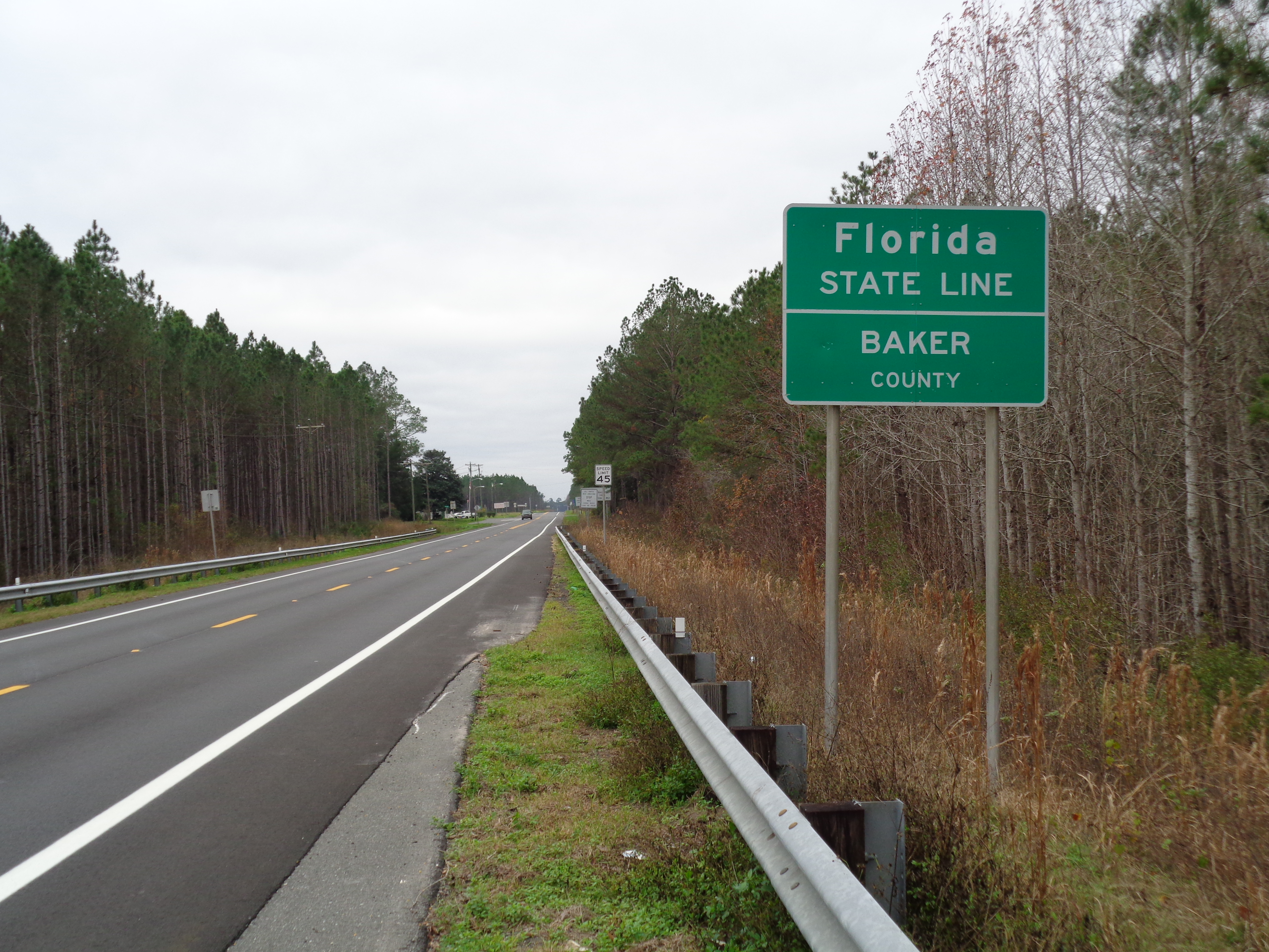
Florida/Georgia State Line
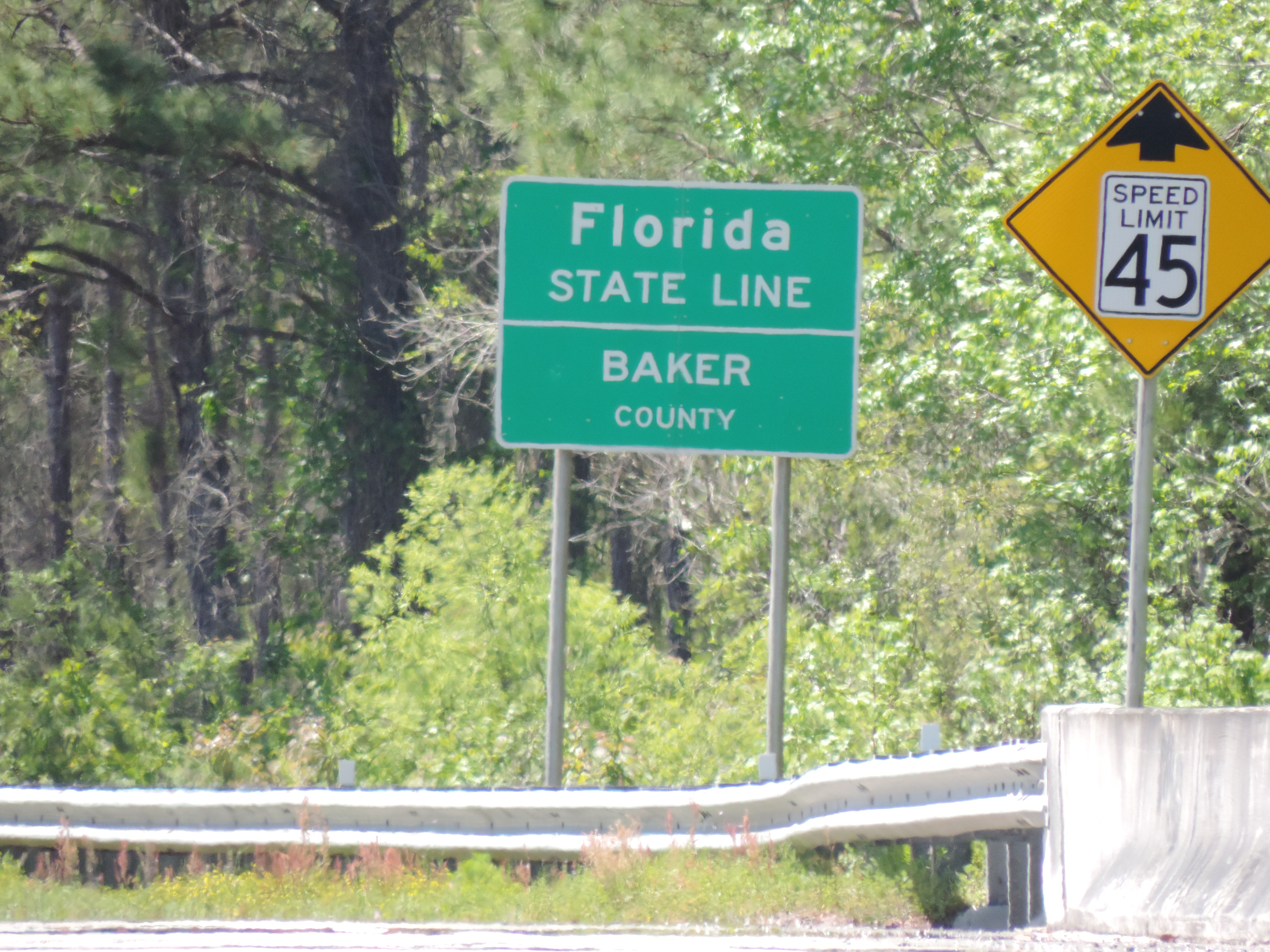
Florida State Line, Entering Baker County

you know you live in the south when...
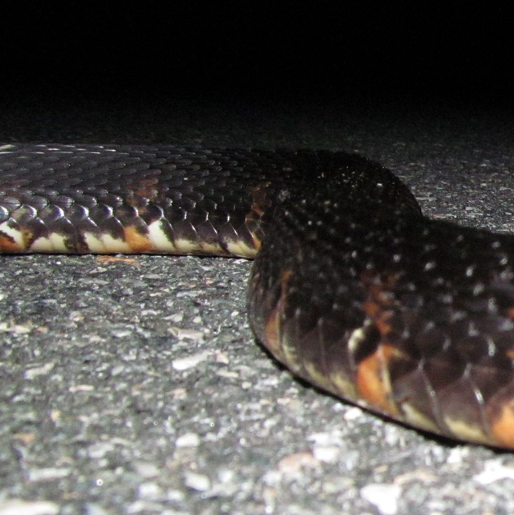
Nerodia fasciata (Banded Watersnake)
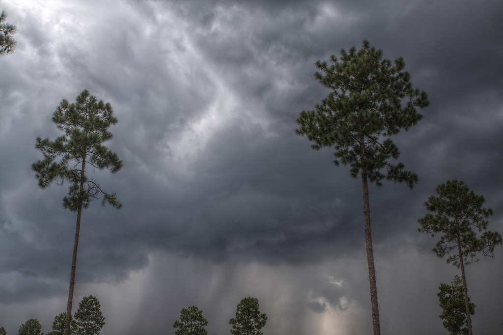
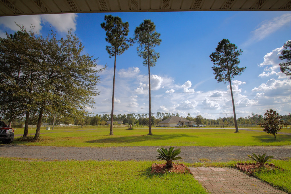
A typical Florida afternoon in July
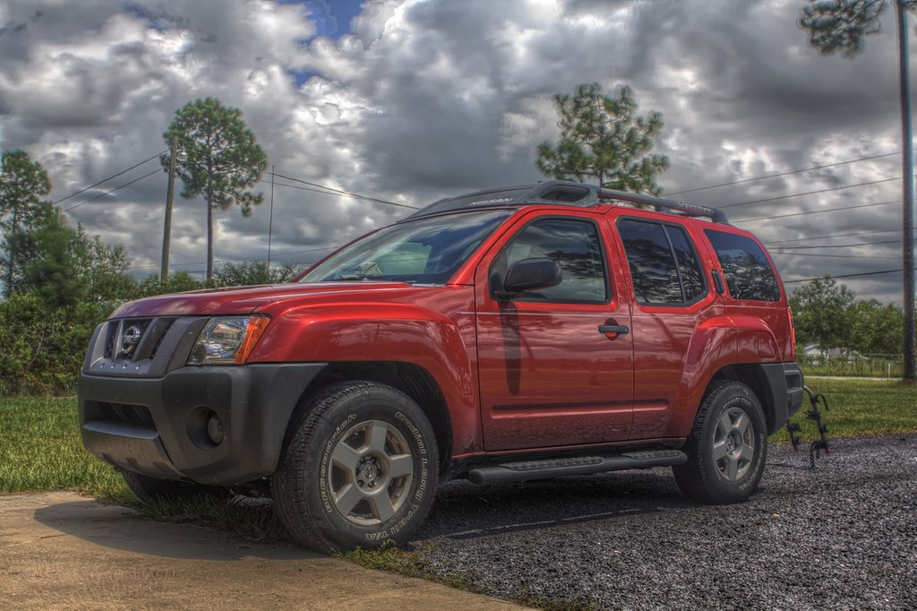
Truck_Test-new_small
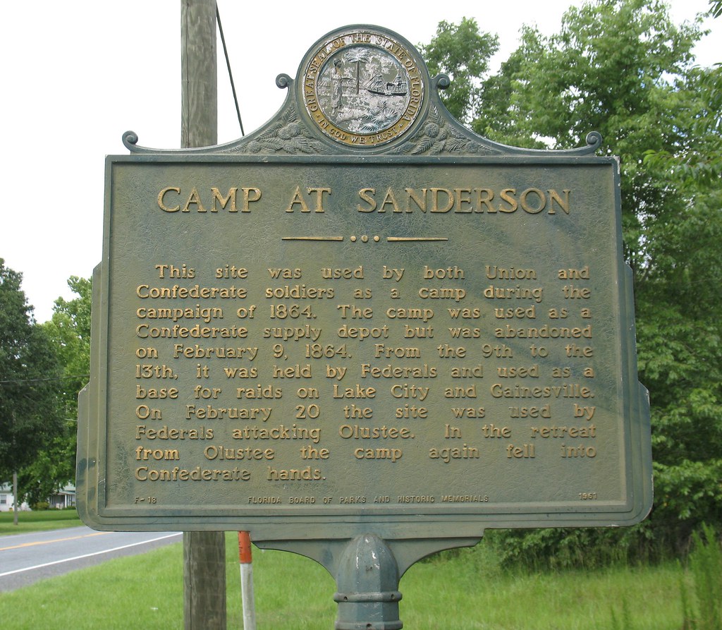
Camp at Sanderson Marker Sanderson FL
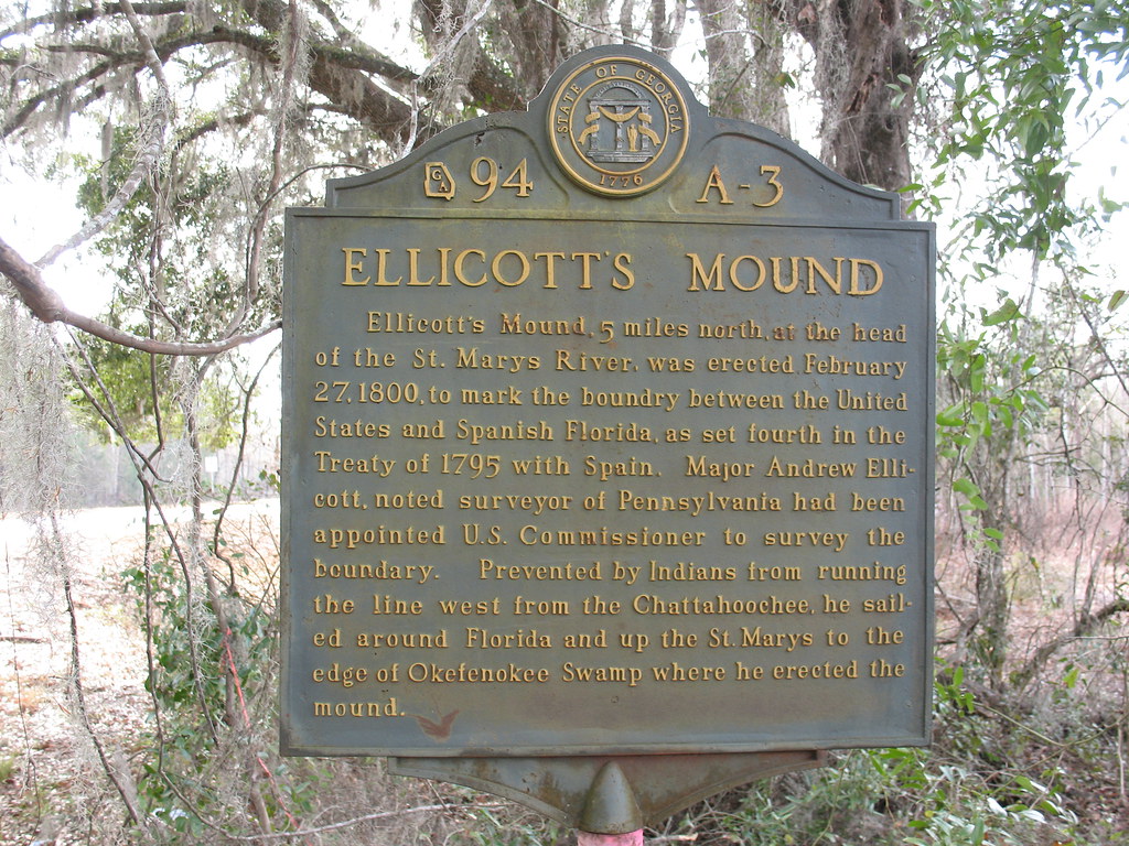
Ellicott's Mound Marker Moniac GA

Football-Glen Saint Mary, FL: PhotoID-262263

Football-Glen Saint Mary, FL: PhotoID-262263
Topographic Map of Baker County, FL, USA
Find elevation by address:

Places in Baker County, FL, USA:
Places near Baker County, FL, USA:
Jack Dugger Rd, Sanderson, FL, USA
20192 Golden Grass Farms Ln
15908 Steer Man St
10439 Oak Hill Rd
10516 Hollie Rd
10674 Cuyler Rd
Crews Road
10777 Cow Pen Rd
10777 Cow Pen Rd
12961 5 Churches Rd
Sanderson
8334 Cypress St
12646 Duncan Trl
7179 W Smooth Bore Ave
US-90, Glen St Mary, FL, USA
6965 Odis Yarborough Rd
13434 Brandywine Ln
Jesse Yarbrough Road
2601 Farley Rd
14985 Jesse Yarbrough Rd
Recent Searches:
- Elevation of Corso Fratelli Cairoli, 35, Macerata MC, Italy
- Elevation of Tallevast Rd, Sarasota, FL, USA
- Elevation of 4th St E, Sonoma, CA, USA
- Elevation of Black Hollow Rd, Pennsdale, PA, USA
- Elevation of Oakland Ave, Williamsport, PA, USA
- Elevation of Pedrógão Grande, Portugal
- Elevation of Klee Dr, Martinsburg, WV, USA
- Elevation of Via Roma, Pieranica CR, Italy
- Elevation of Tavkvetili Mountain, Georgia
- Elevation of Hartfords Bluff Cir, Mt Pleasant, SC, USA