Elevation of Steer Man St, Glen St Mary, FL, USA
Location: United States > Florida > Baker County > Glen Saint Mary >
Longitude: -82.222292
Latitude: 30.361707
Elevation: 36m / 118feet
Barometric Pressure: 101KPa
Elevation Map:
Satellite Map:
Related Photos:

Forsyth Park, Savannah, Georgia #forsythpark #park #savannahgeorgia #georgia #visitsavannah #chathamcountyga #exploregeorgia #thesouthernfront #thegreatercollective #theamericancollective #landscape #landmark #touristattraction #city #view #scene #scenery
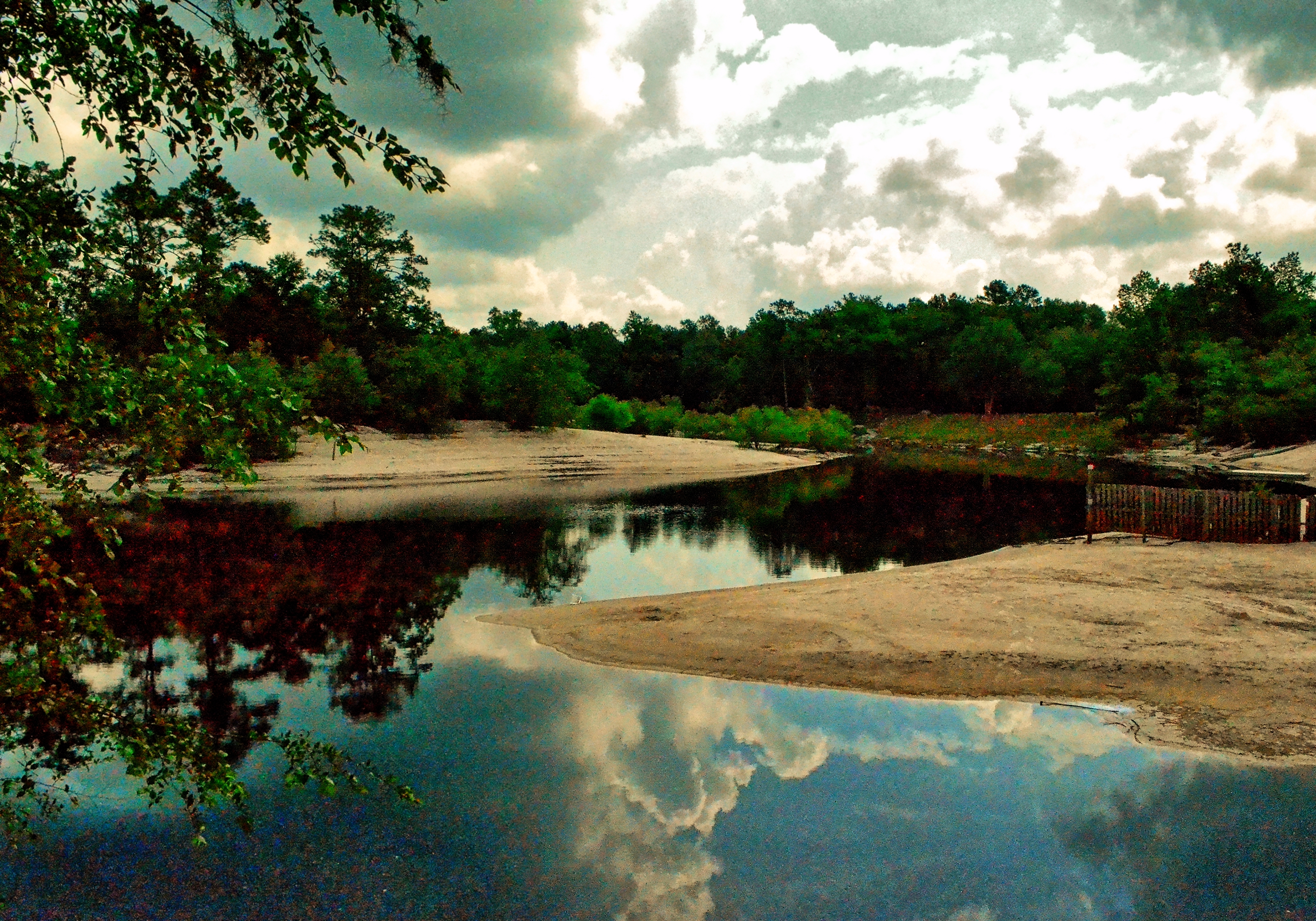
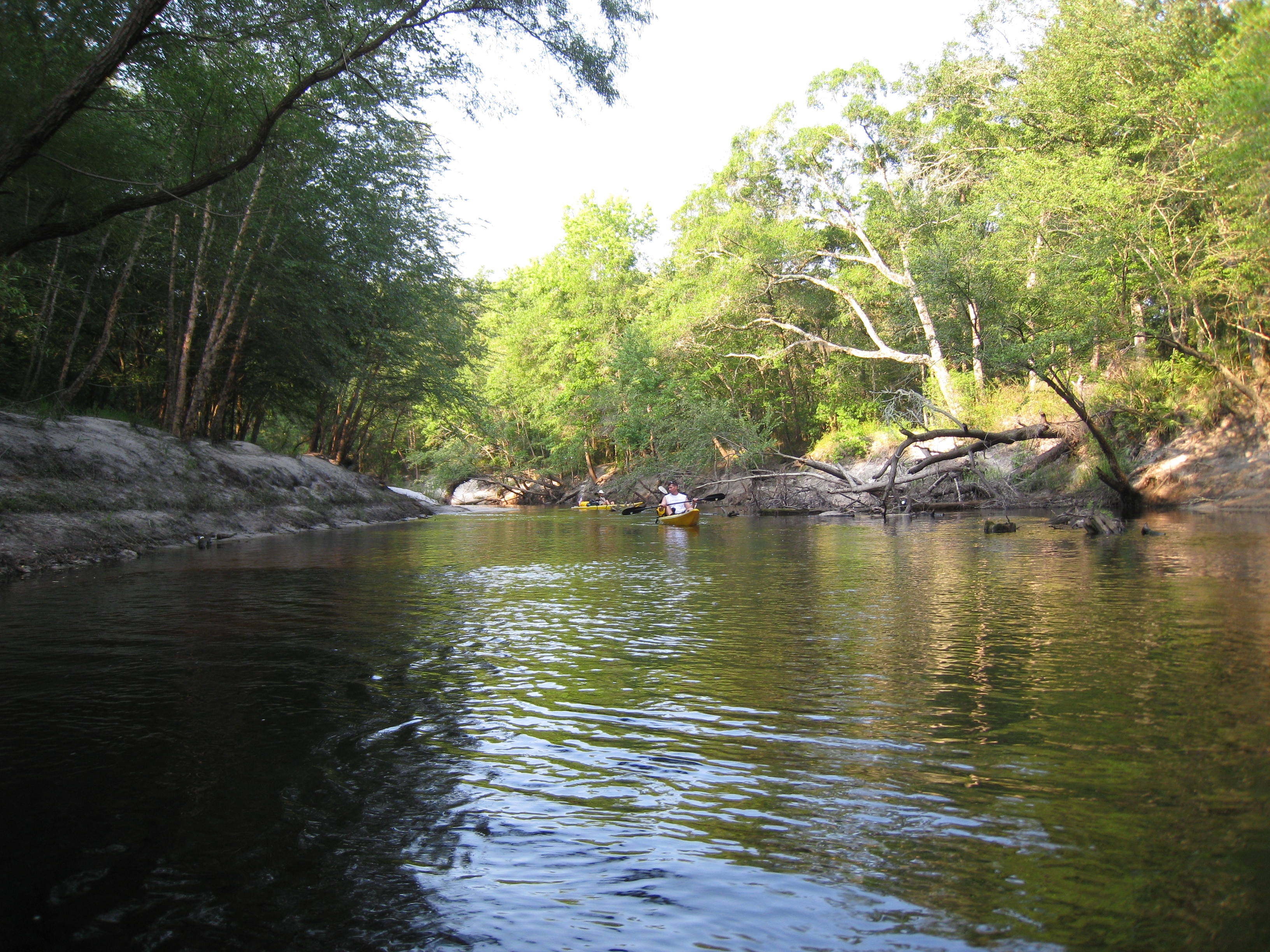
Saint Marys River, Baker County, Florida
stmarys08-9
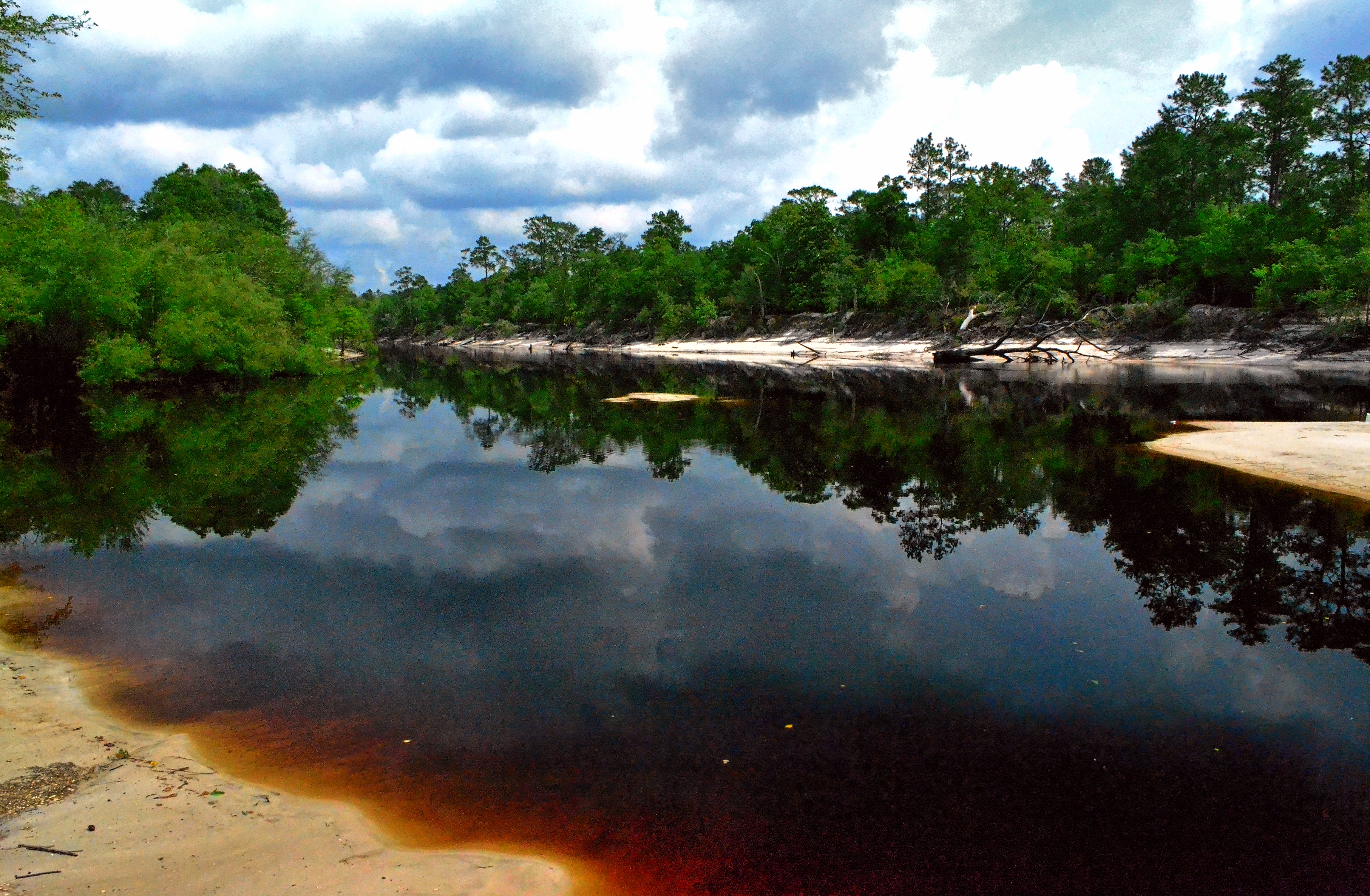
Saint Marys River, Baker County,Florida

Saint Marys River, Baker County, Florida
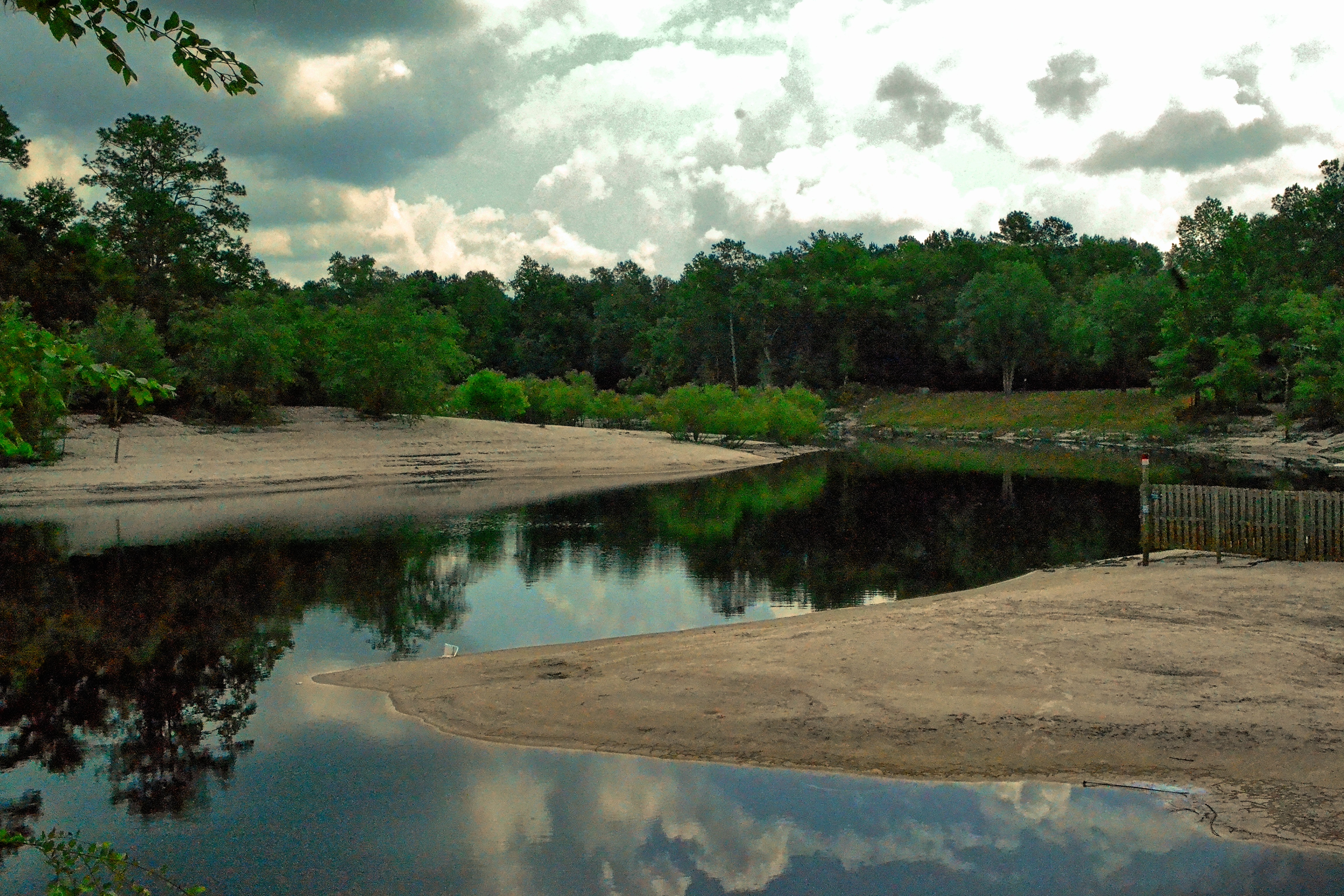
Saint Marys River, Baker County, Florida

Rainbow Road
StMarysRiver (16)
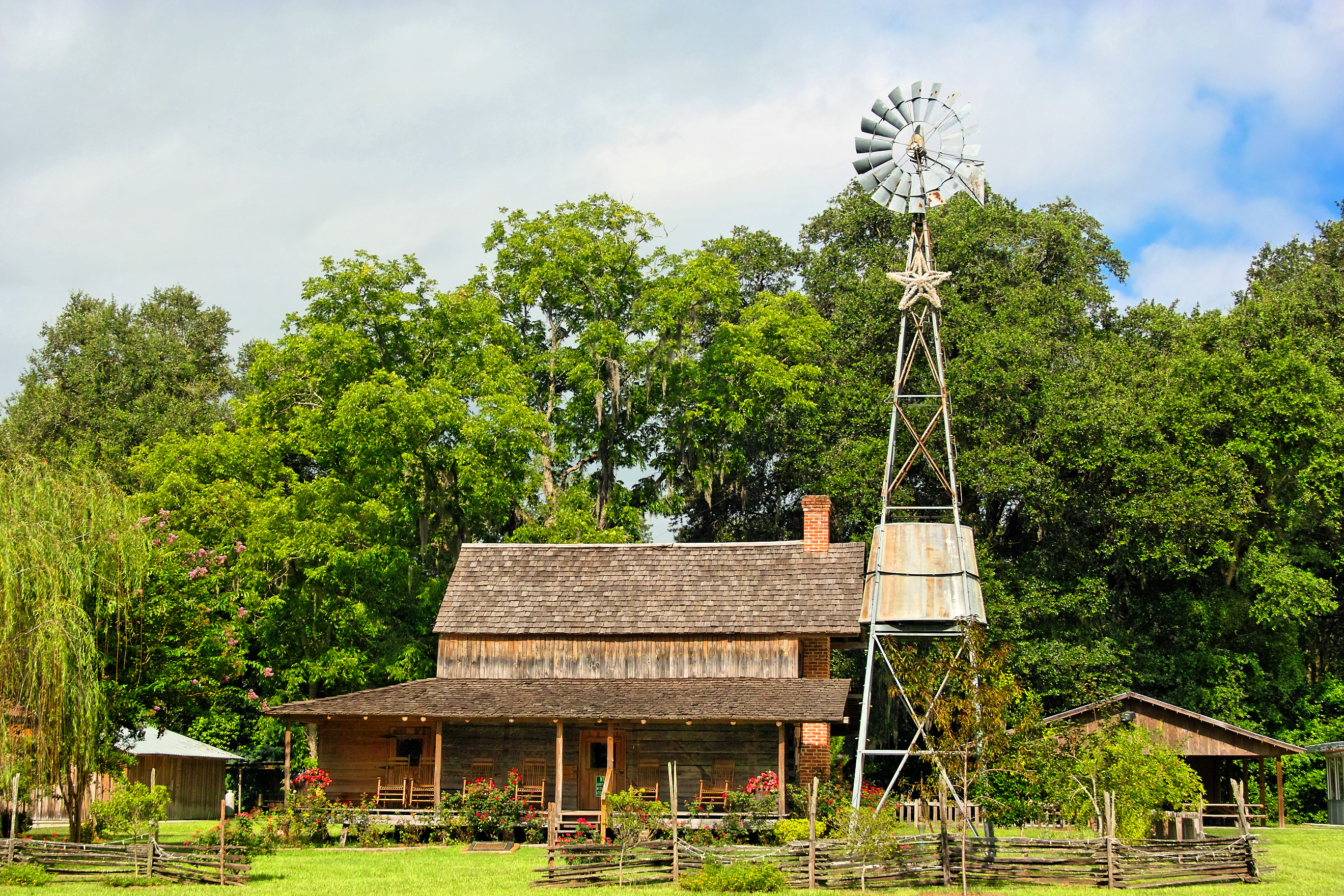
Burnsed Bunkhouse

Old Doors
Topographic Map of Steer Man St, Glen St Mary, FL, USA
Find elevation by address:

Places near Steer Man St, Glen St Mary, FL, USA:
10674 Cuyler Rd
Crews Road
10439 Oak Hill Rd
10516 Hollie Rd
7179 W Smooth Bore Ave
6965 Odis Yarborough Rd
13434 Brandywine Ln
Jesse Yarbrough Road
10777 Cow Pen Rd
10777 Cow Pen Rd
14985 Jesse Yarbrough Rd
6167 Deercreek Ln
6051 Deercreek Ln
Bearden Trail
2601 Farley Rd
11409 Confederate Ln
US-90, Glen St Mary, FL, USA
2860 Farley Rd
12961 5 Churches Rd
US-90, Glen St Mary, FL, USA
Recent Searches:
- Elevation of W Granada St, Tampa, FL, USA
- Elevation of Pykes Down, Ivybridge PL21 0BY, UK
- Elevation of Jalan Senandin, Lutong, Miri, Sarawak, Malaysia
- Elevation of Bilohirs'k
- Elevation of 30 Oak Lawn Dr, Barkhamsted, CT, USA
- Elevation of Luther Road, Luther Rd, Auburn, CA, USA
- Elevation of Unnamed Road, Respublika Severnaya Osetiya — Alaniya, Russia
- Elevation of Verkhny Fiagdon, North Ossetia–Alania Republic, Russia
- Elevation of F. Viola Hiway, San Rafael, Bulacan, Philippines
- Elevation of Herbage Dr, Gulfport, MS, USA