Elevation of Duncan Trl, Sanderson, FL, USA
Location: United States > Florida > Baker County > Sanderson >
Longitude: -82.247625
Latitude: 30.527768
Elevation: 35m / 115feet
Barometric Pressure: 101KPa
Elevation Map:
Satellite Map:
Related Photos:
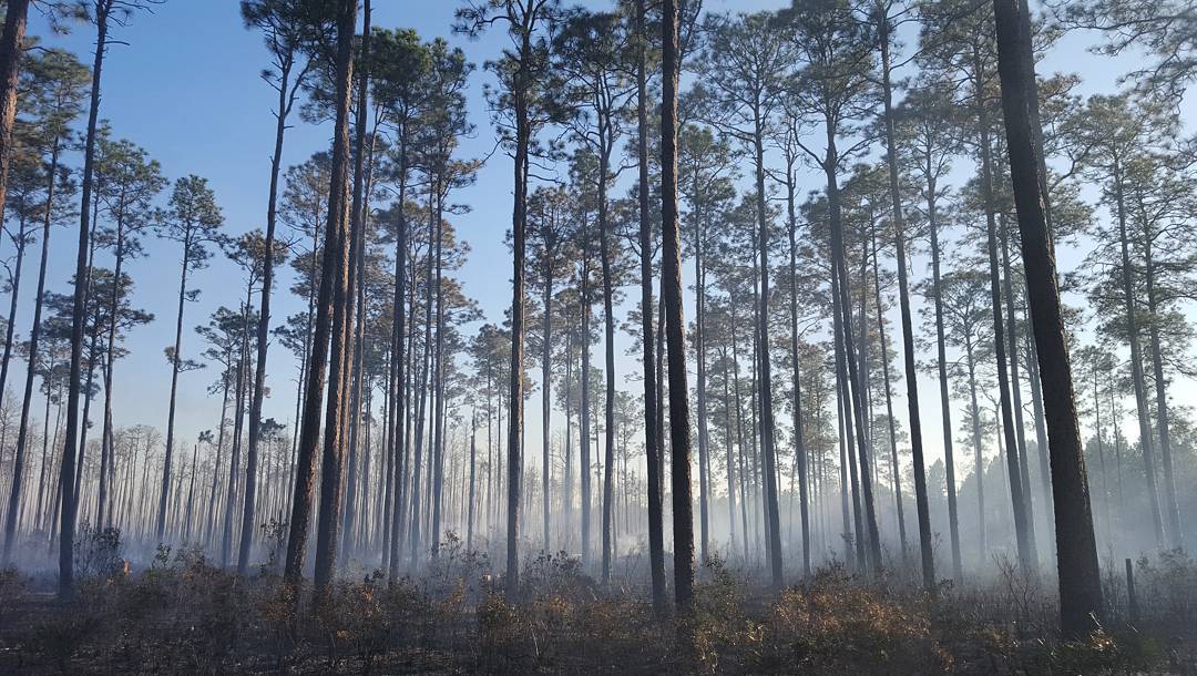
Smoke and trees
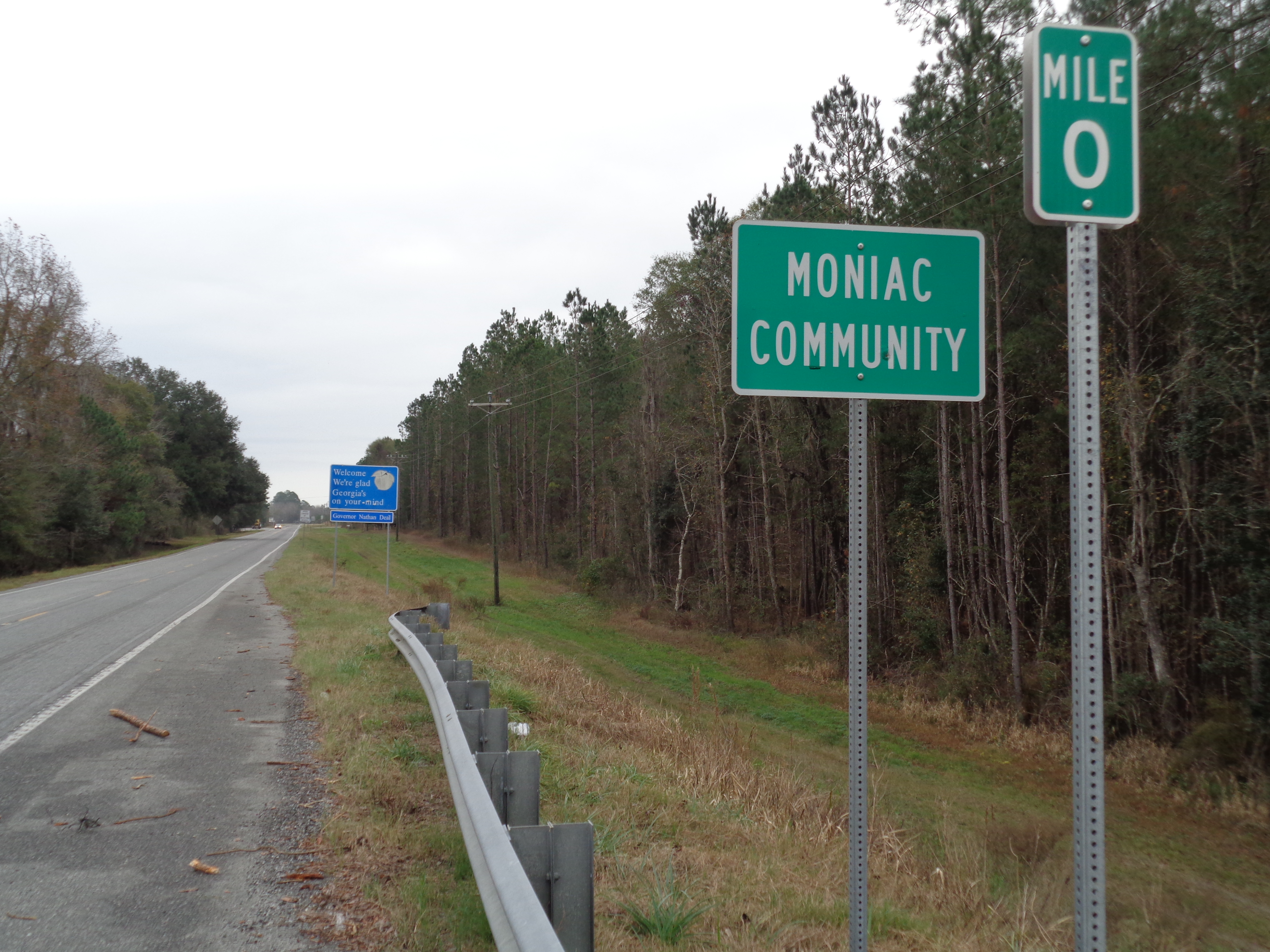
Moniac limit GASR94EB
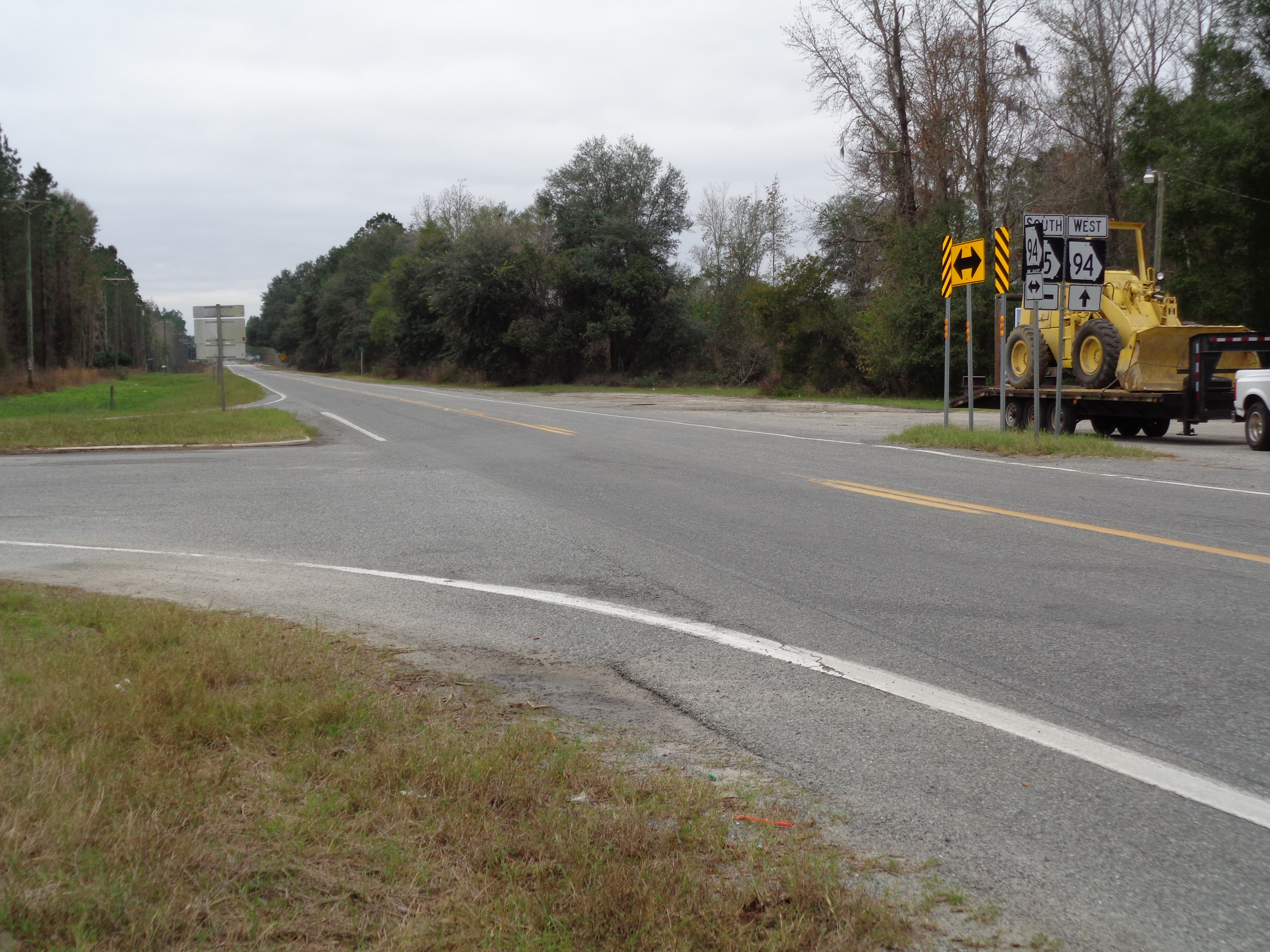
GA94 185 Intersection, Moniac
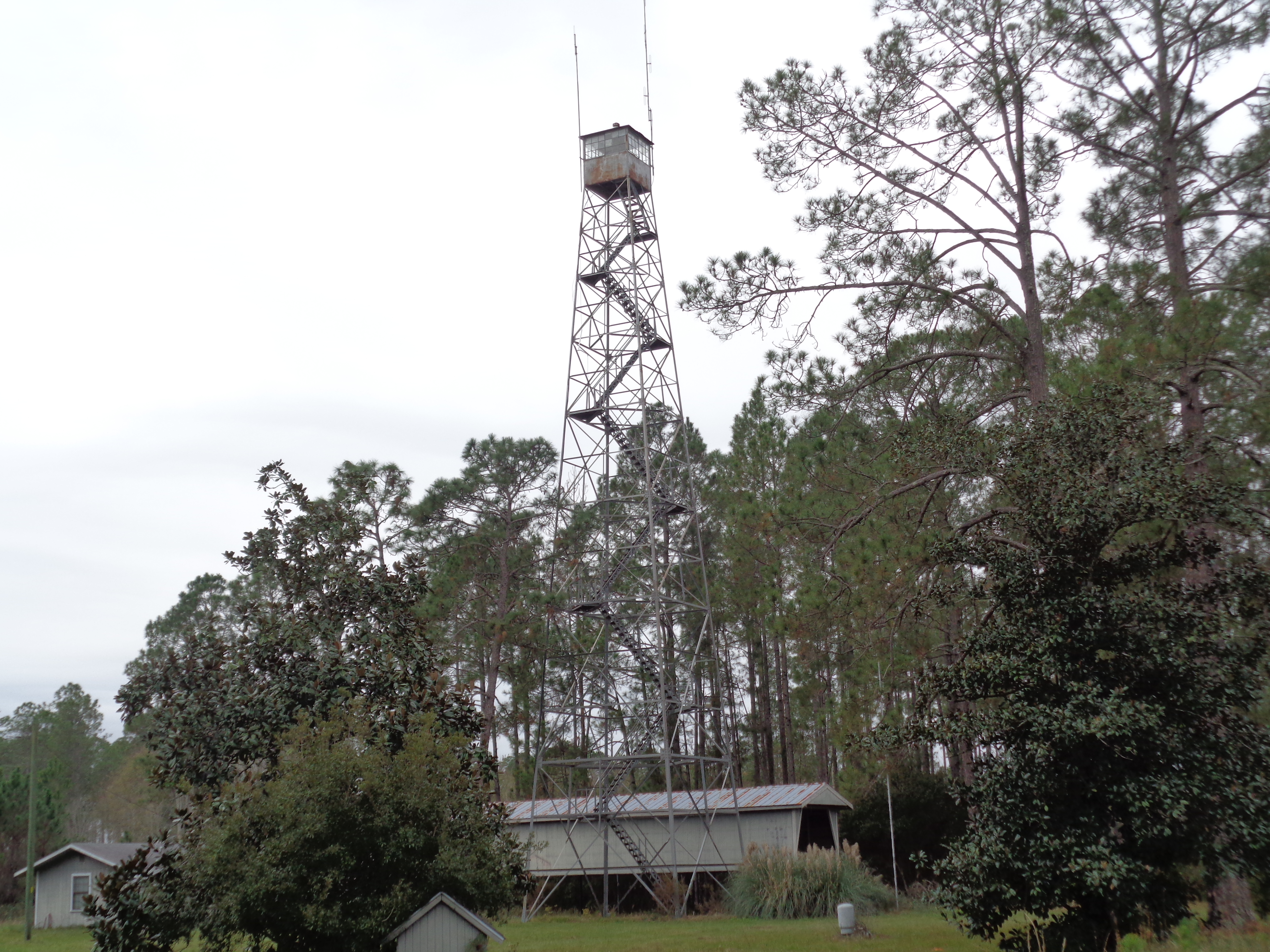
SR94 unused tower, Charlton County
Baker County boundary FLSR2WB

Charlton County boundary GASR94EB

Georgia welcome GASR94EB
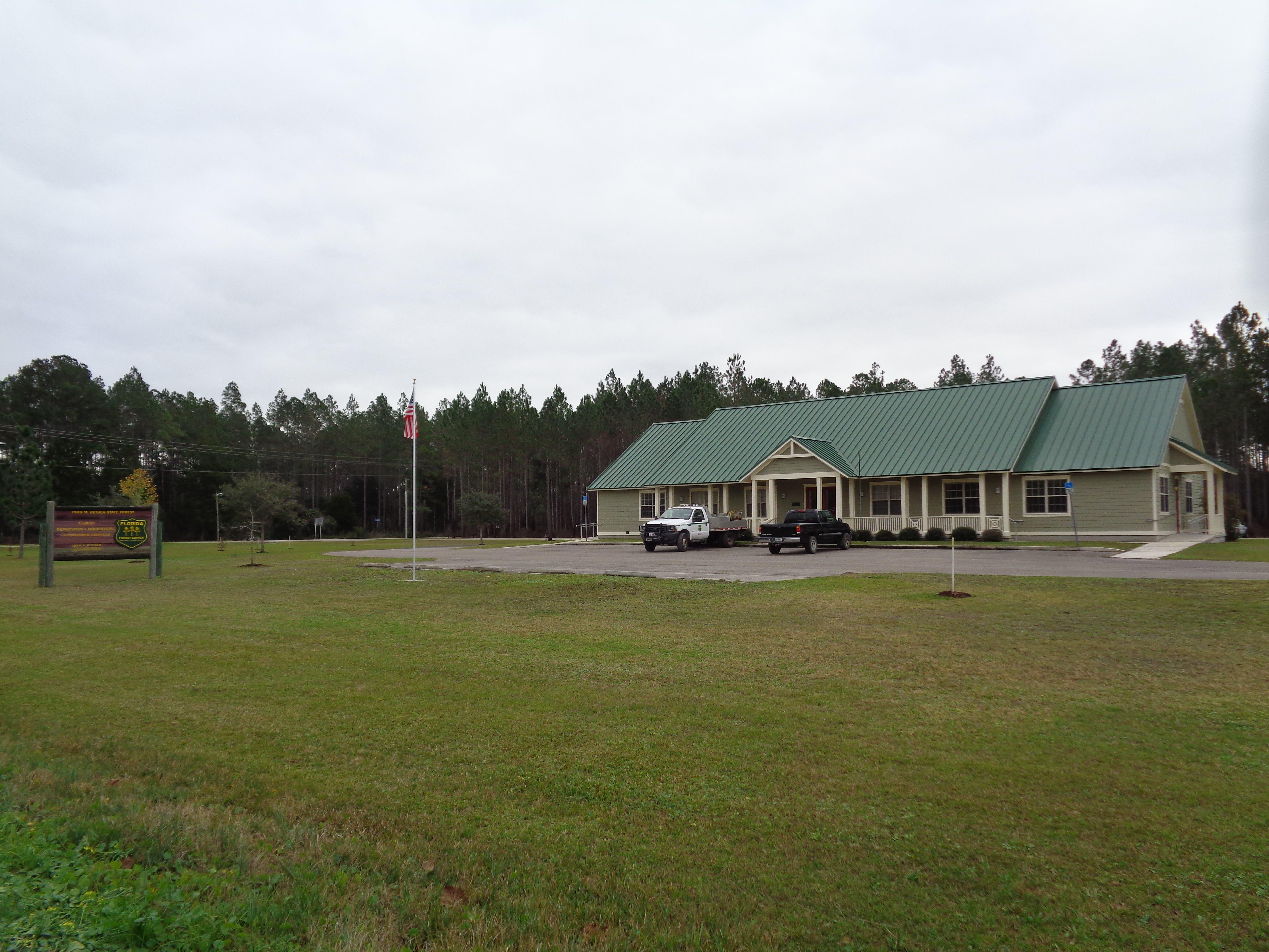
John M Bethea State Forest Office
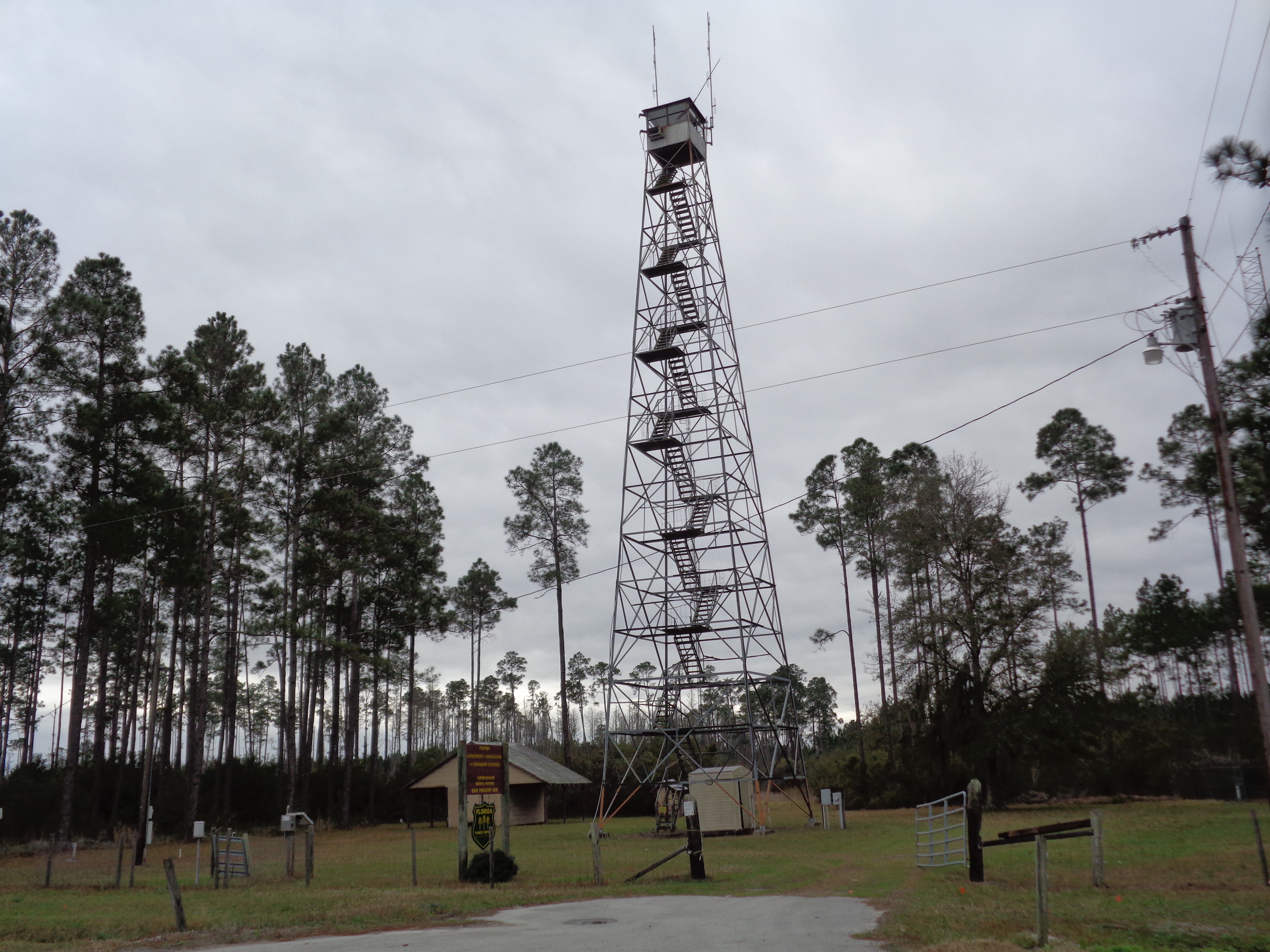
Eddy Forestry Site, Florida Forest Service tower
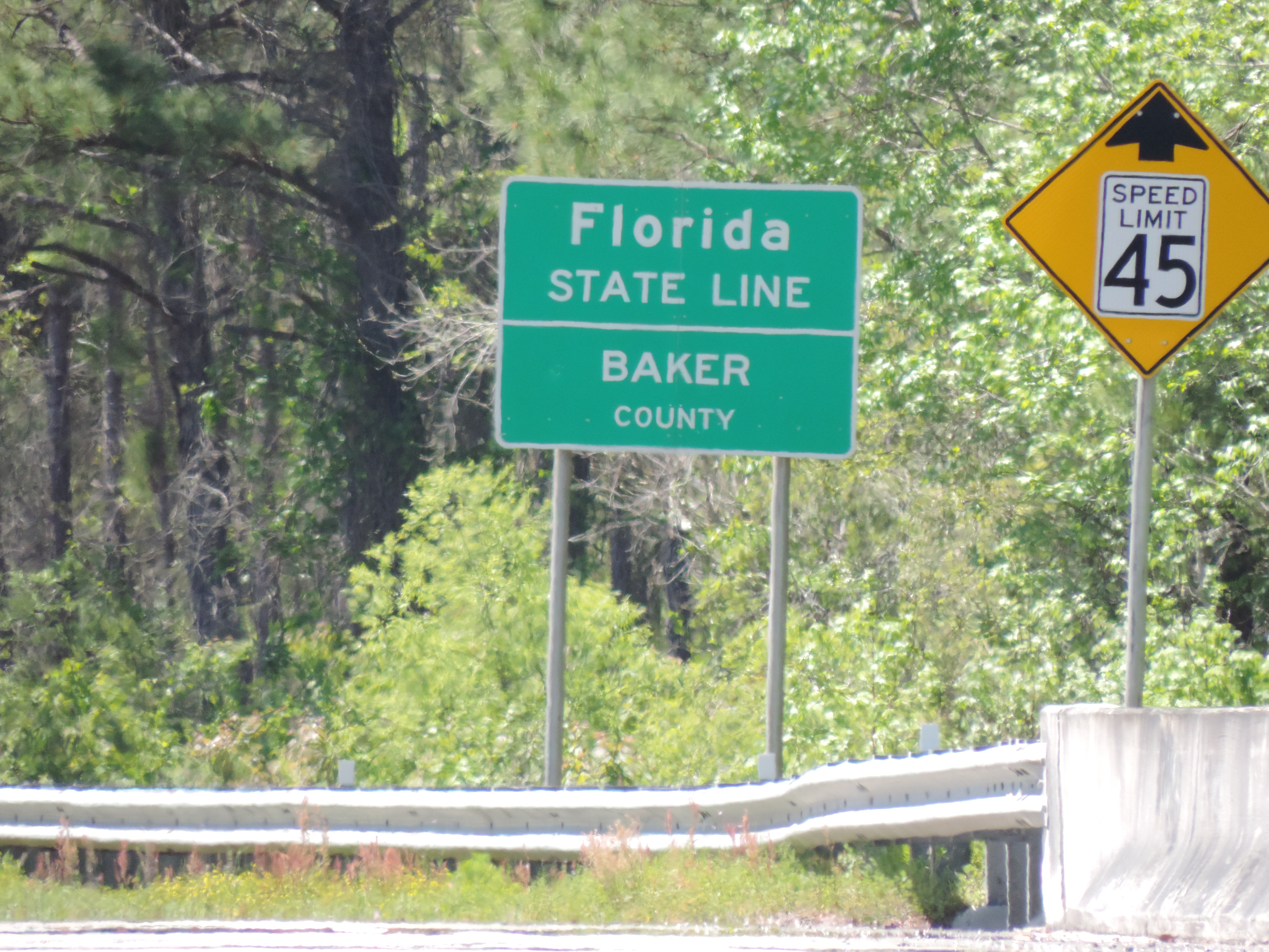
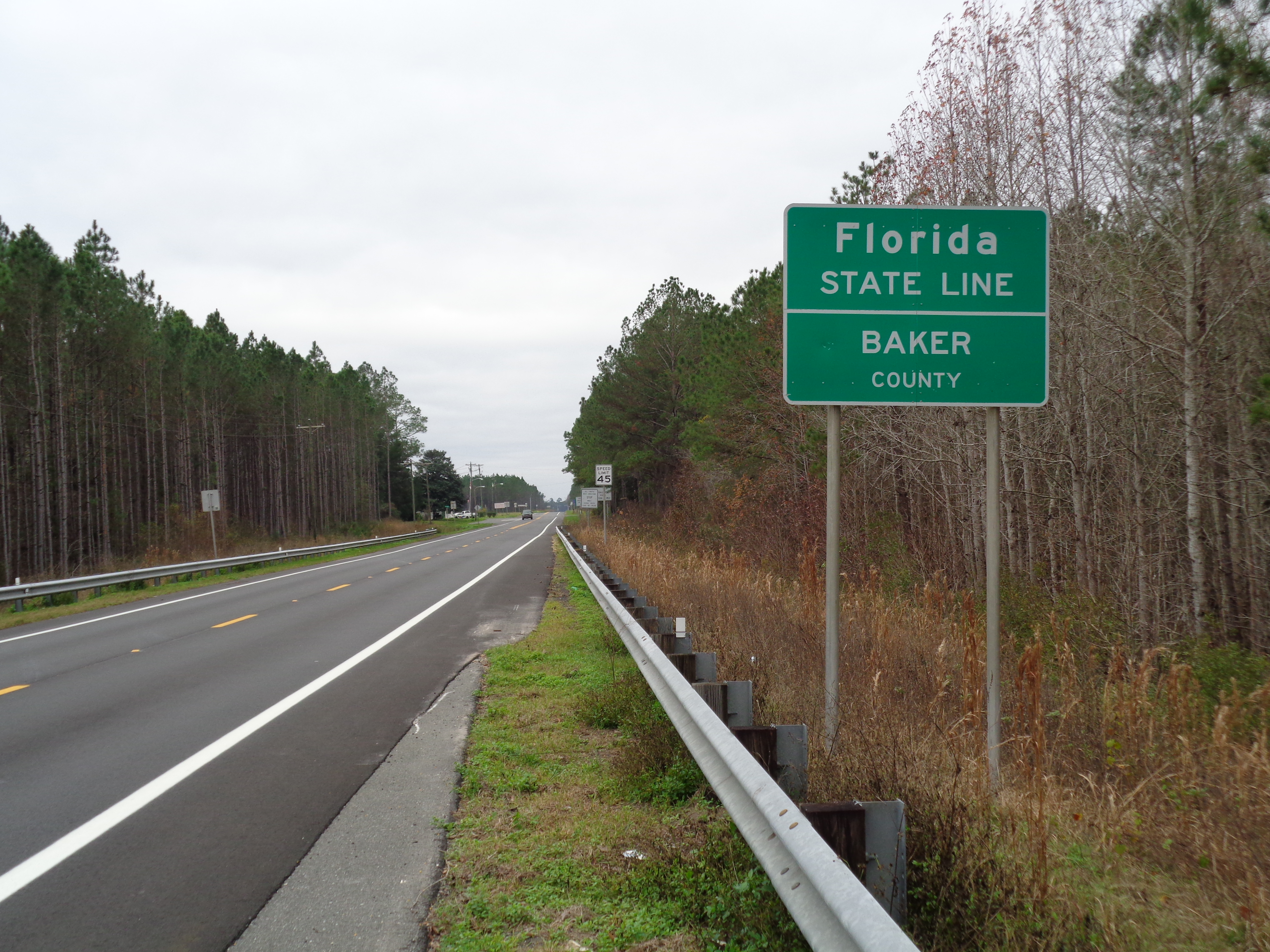
Florida State Line, Entering Baker County
Jacksonville, FL

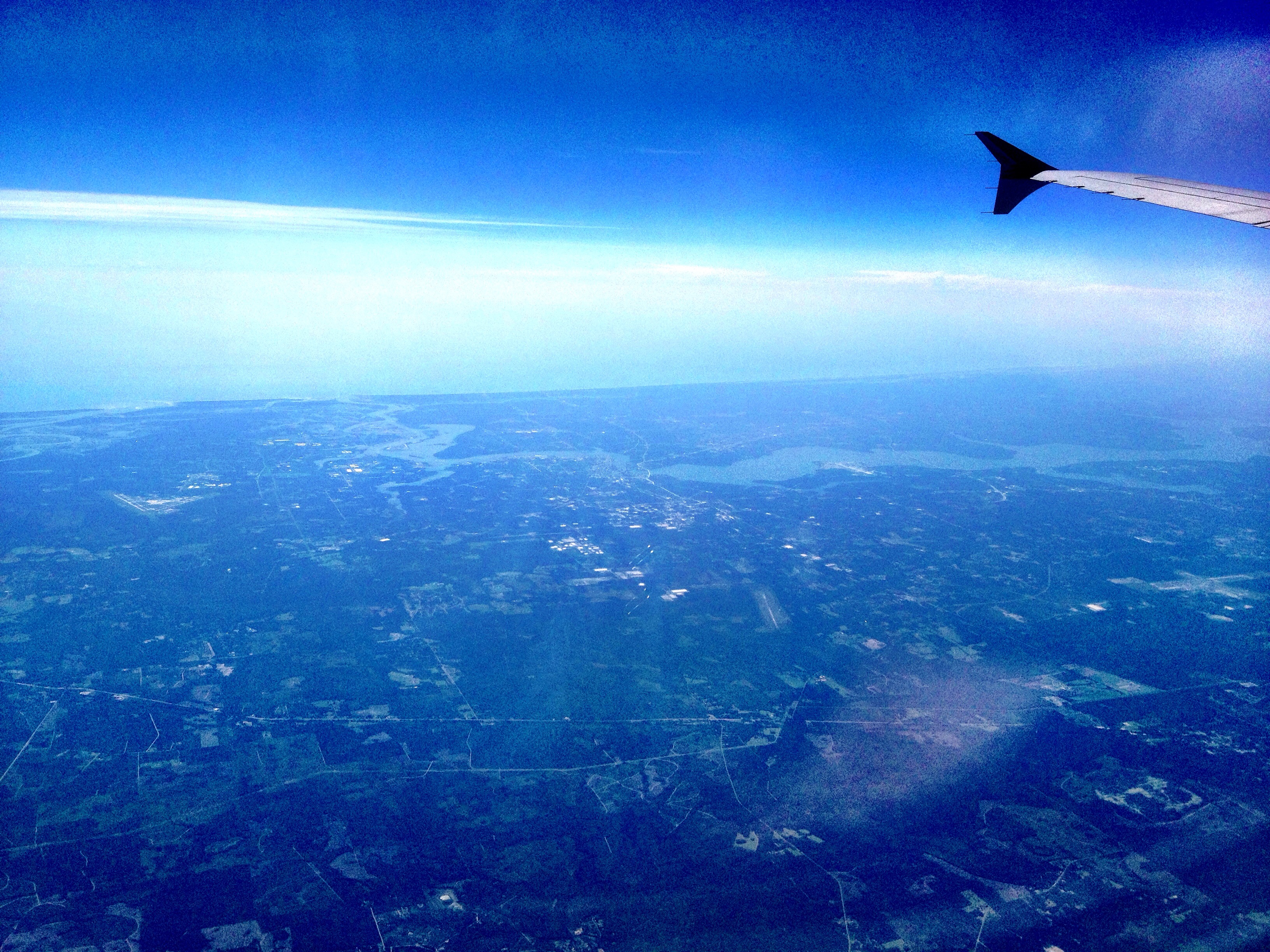
Flying over uniform cloud layer
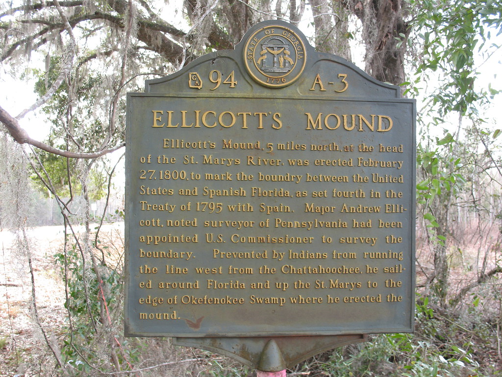
Ellicott's Mound Marker Moniac GA
Topographic Map of Duncan Trl, Sanderson, FL, USA
Find elevation by address:

Places near Duncan Trl, Sanderson, FL, USA:
20192 Golden Grass Farms Ln
GA-94, St George, GA, USA
10516 Hollie Rd
10439 Oak Hill Rd
Crews Road
Baker County
Okefenokee Swamp
15908 Steer Man St
10674 Cuyler Rd
2601 Farley Rd
2860 Farley Rd
7179 W Smooth Bore Ave
6965 Odis Yarborough Rd
4683 Shaves Bluff Rd
Saint George
Jesse Yarbrough Road
14985 Jesse Yarbrough Rd
Jack Dugger Rd, Sanderson, FL, USA
993 Dawsie Crews Rd
Bearden Trail
Recent Searches:
- Elevation of Felindre, Swansea SA5 7LU, UK
- Elevation of Leyte Industrial Development Estate, Isabel, Leyte, Philippines
- Elevation of W Granada St, Tampa, FL, USA
- Elevation of Pykes Down, Ivybridge PL21 0BY, UK
- Elevation of Jalan Senandin, Lutong, Miri, Sarawak, Malaysia
- Elevation of Bilohirs'k
- Elevation of 30 Oak Lawn Dr, Barkhamsted, CT, USA
- Elevation of Luther Road, Luther Rd, Auburn, CA, USA
- Elevation of Unnamed Road, Respublika Severnaya Osetiya — Alaniya, Russia
- Elevation of Verkhny Fiagdon, North Ossetia–Alania Republic, Russia