Elevation of 5 Churches Rd, Sanderson, FL, USA
Location: United States > Florida > Baker County > Sanderson >
Longitude: -82.25766
Latitude: 30.271778
Elevation: 48m / 157feet
Barometric Pressure: 101KPa
Elevation Map:
Satellite Map:
Related Photos:
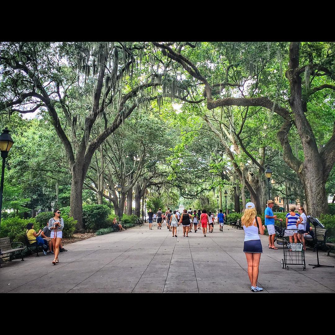
Forsyth Park, Savannah, Georgia #forsythpark #park #savannahgeorgia #georgia #visitsavannah #chathamcountyga #exploregeorgia #thesouthernfront #thegreatercollective #theamericancollective #landscape #landmark #touristattraction #city #view #scene #scenery

Old Doors
mayhem-1.jpg
mayhem-2.jpg
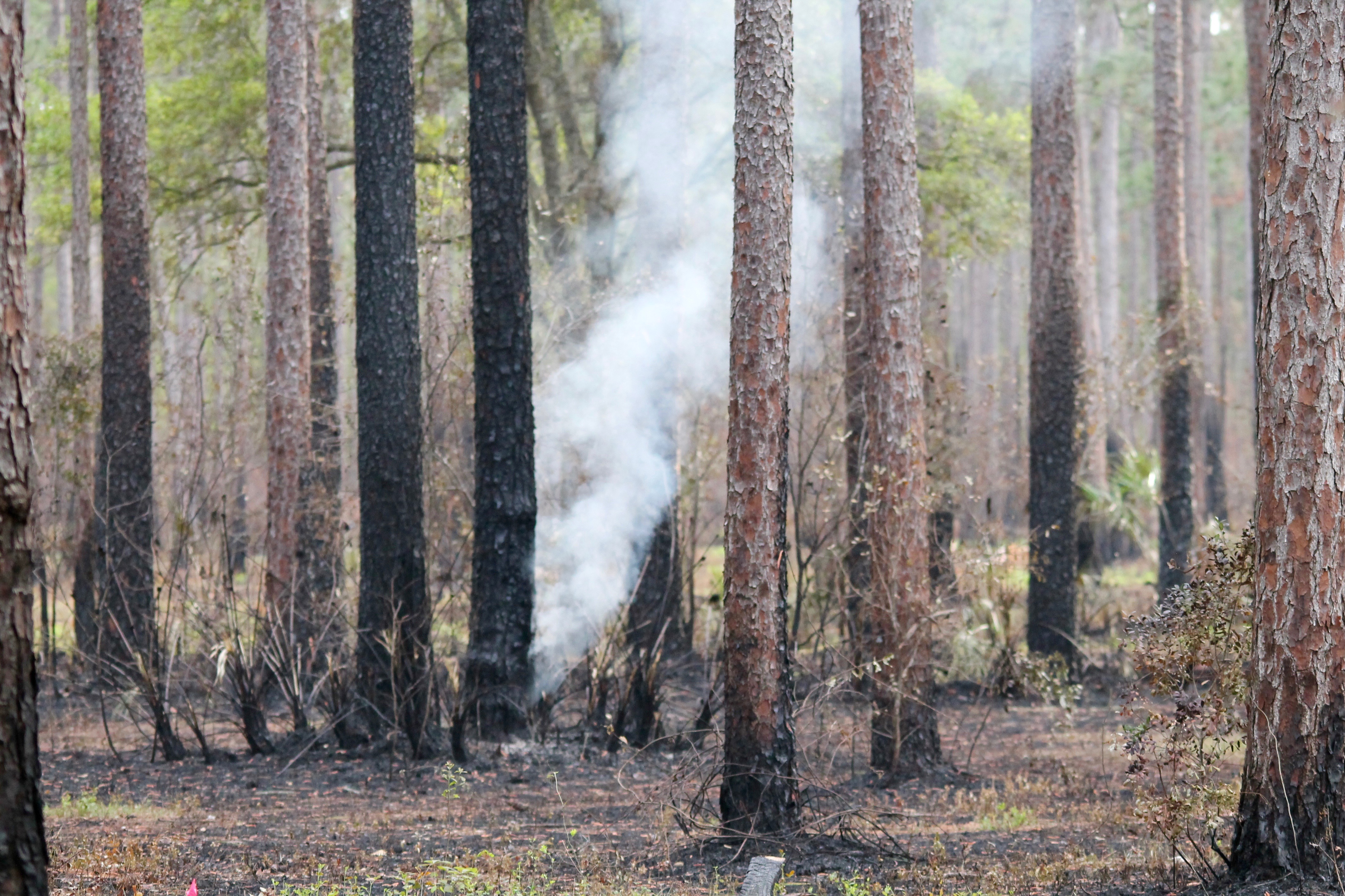
Smoldering Ground Fire

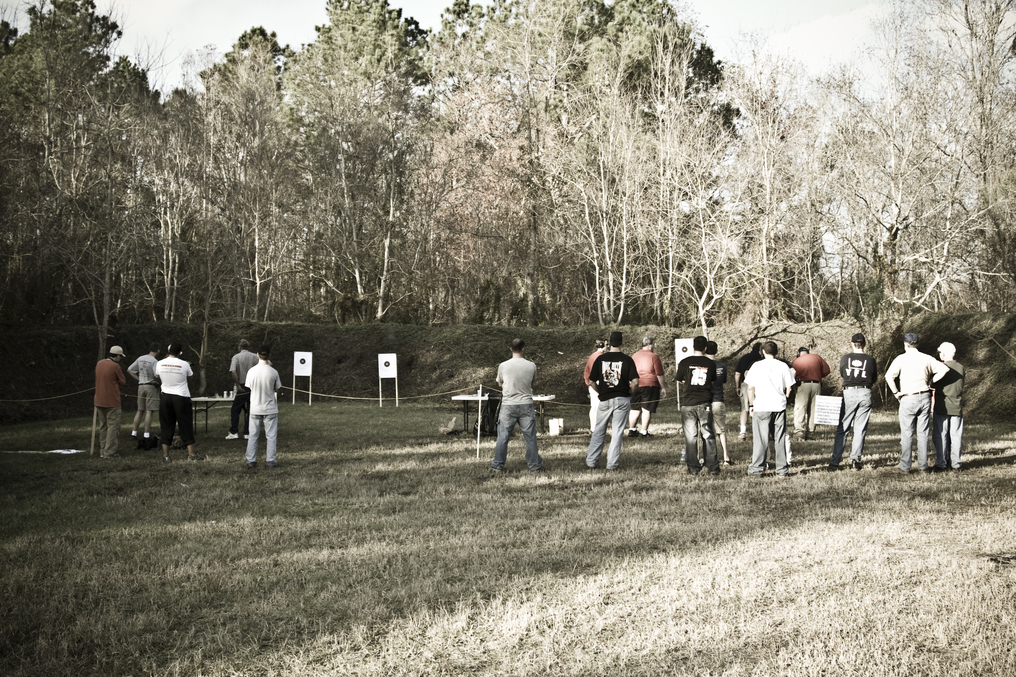
Olustee Battlefield
Olustee Battlefield

Olustee Battlefield
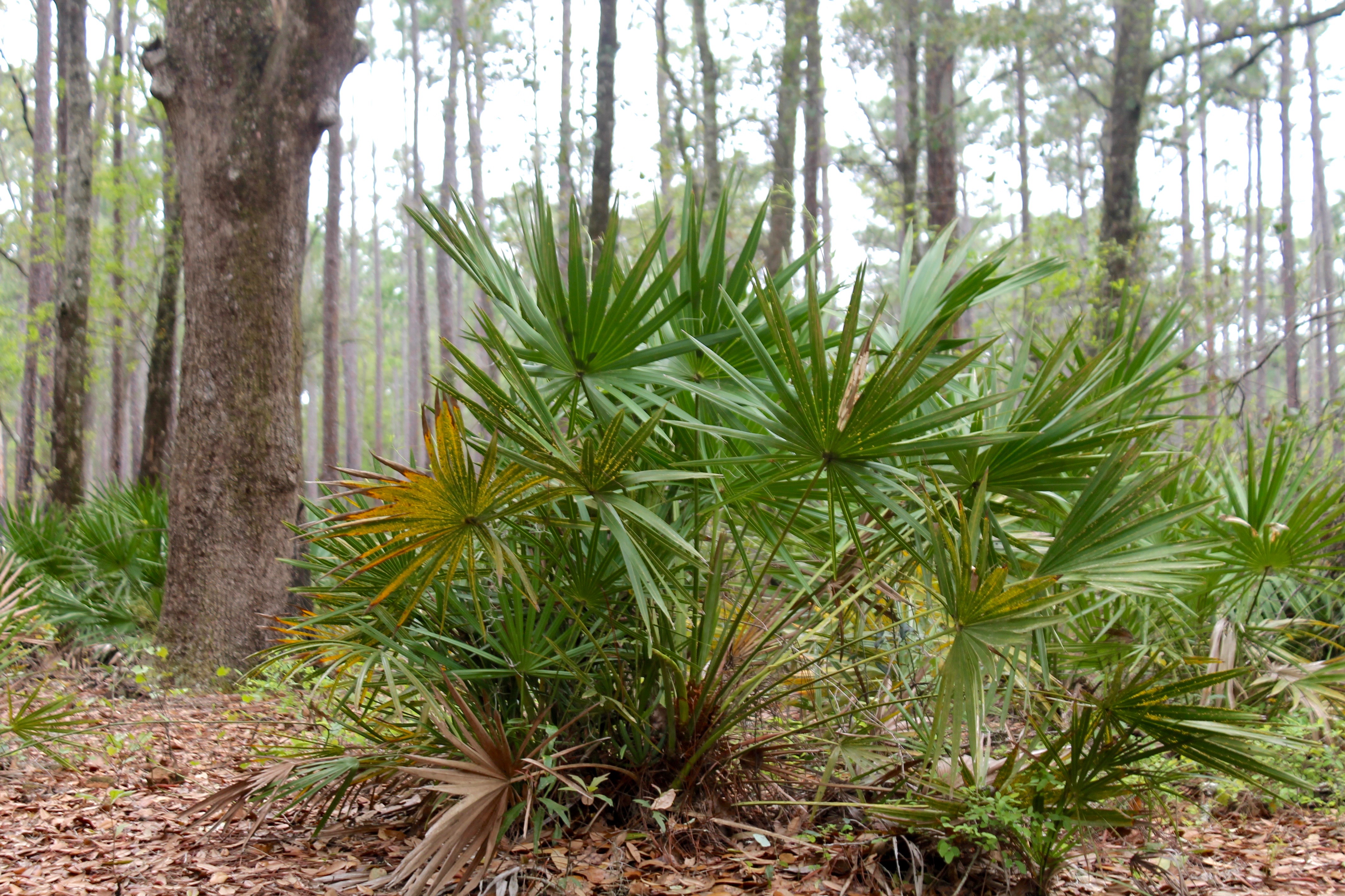
Woodpecker Habitat

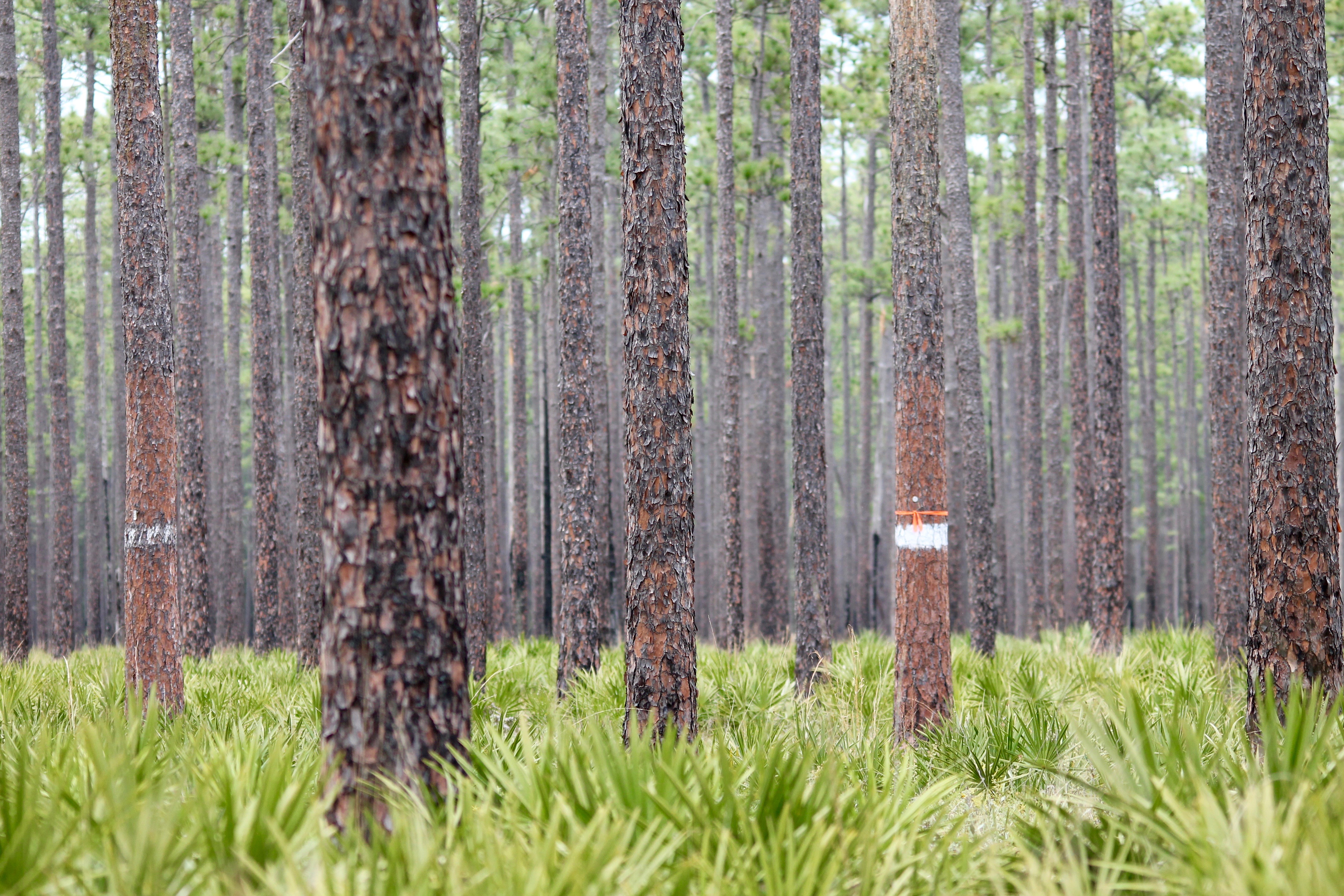
Rainbow Road

Olustee Camp Out
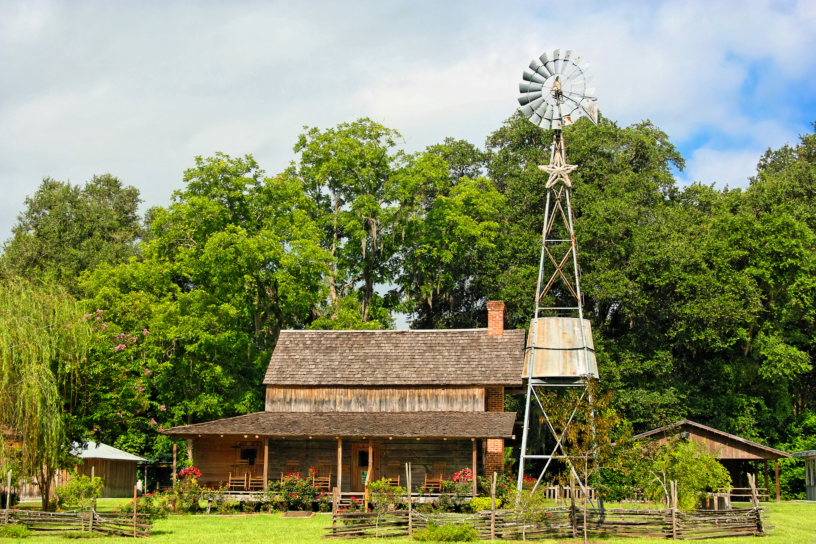
Burnsed Bunkhouse
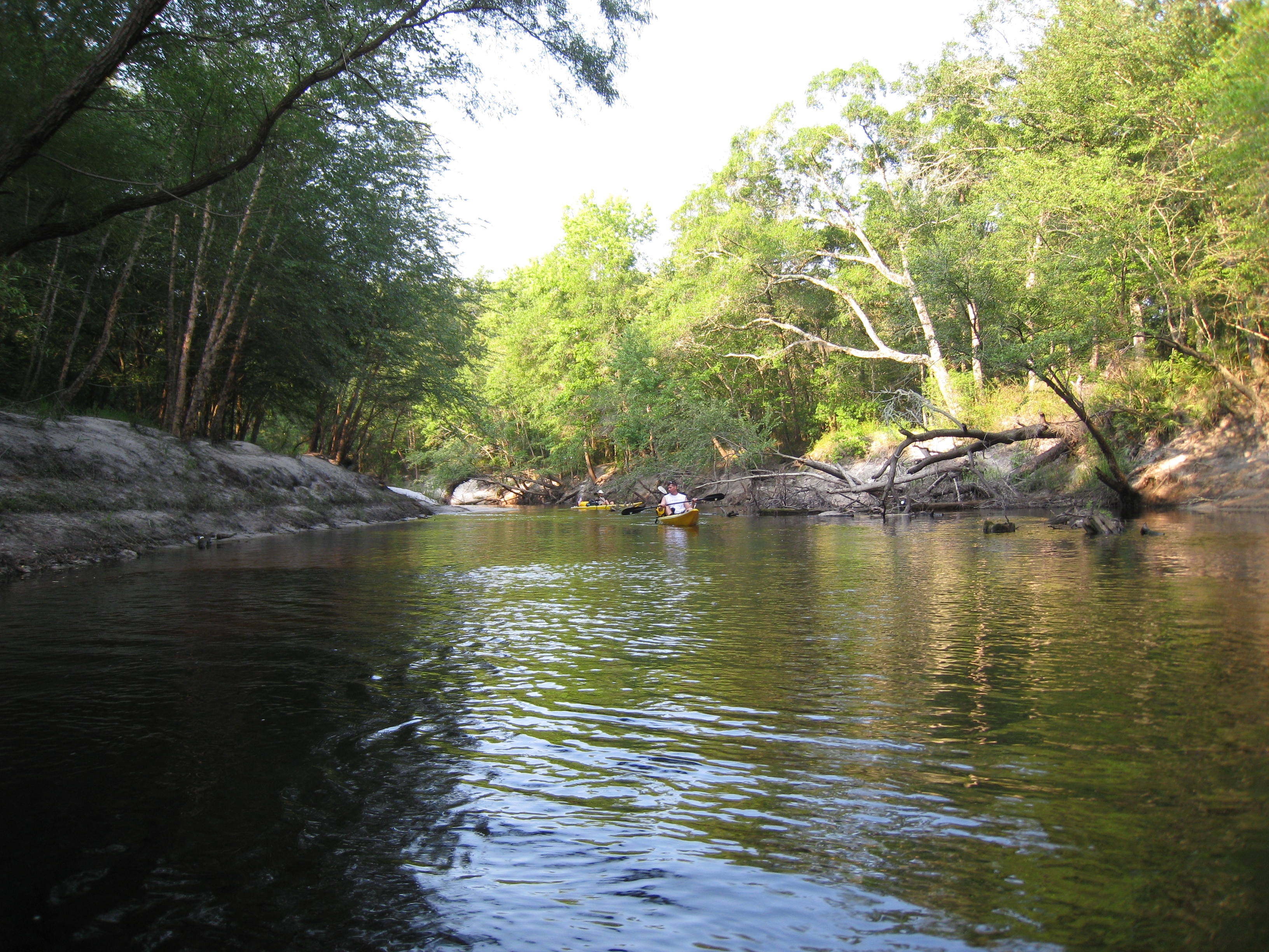
stmarys08-9
mayhem-78.jpg
Topographic Map of 5 Churches Rd, Sanderson, FL, USA
Find elevation by address:

Places near 5 Churches Rd, Sanderson, FL, USA:
10777 Cow Pen Rd
10777 Cow Pen Rd
US-90, Glen St Mary, FL, USA
US-90, Glen St Mary, FL, USA
7714 Glenview Dr
10674 Cuyler Rd
14310 N Glen Ave
Glen Saint Mary
15908 Steer Man St
11409 Confederate Ln
Hamilton Crews Road
10689 Hillside Dr E
13434 Brandywine Ln
7179 W Smooth Bore Ave
6965 Odis Yarborough Rd
6167 Deercreek Ln
6051 Deercreek Ln
Crews Road
Jesse Yarbrough Road
14985 Jesse Yarbrough Rd
Recent Searches:
- Elevation of Holloway Ave, San Francisco, CA, USA
- Elevation of Norfolk, NY, USA
- Elevation of - San Marcos Pass Rd, Santa Barbara, CA, USA
- Elevation of th Pl SE, Issaquah, WA, USA
- Elevation of 82- D Rd, Captain Cook, HI, USA
- Elevation of Harlow CM20 2PR, UK
- Elevation of Shenyang Agricultural University, Dong Ling Lu, Shen He Qu, Shen Yang Shi, Liao Ning Sheng, China
- Elevation of Alpha Dr, Melbourne, FL, USA
- Elevation of Hiroshima University, 1-chōme-3-2 Kagamiyama, Higashihiroshima, Hiroshima -, Japan
- Elevation of Bernina Dr, Lake Arrowhead, CA, USA