Elevation of Aurora, ME, USA
Location: United States > Maine > Hancock County >
Longitude: -68.316662
Latitude: 44.8587319
Elevation: 101m / 331feet
Barometric Pressure: 100KPa
Elevation Map:
Satellite Map:
Related Photos:

A Rainy Maine...

Branch Stream

Middle Branch Union River
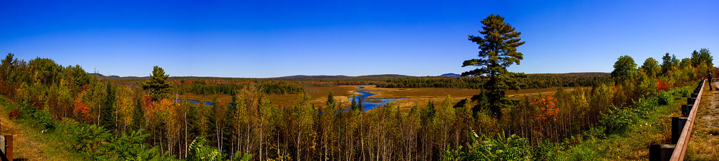
USA- Maine- Aurora Scenic Overlook
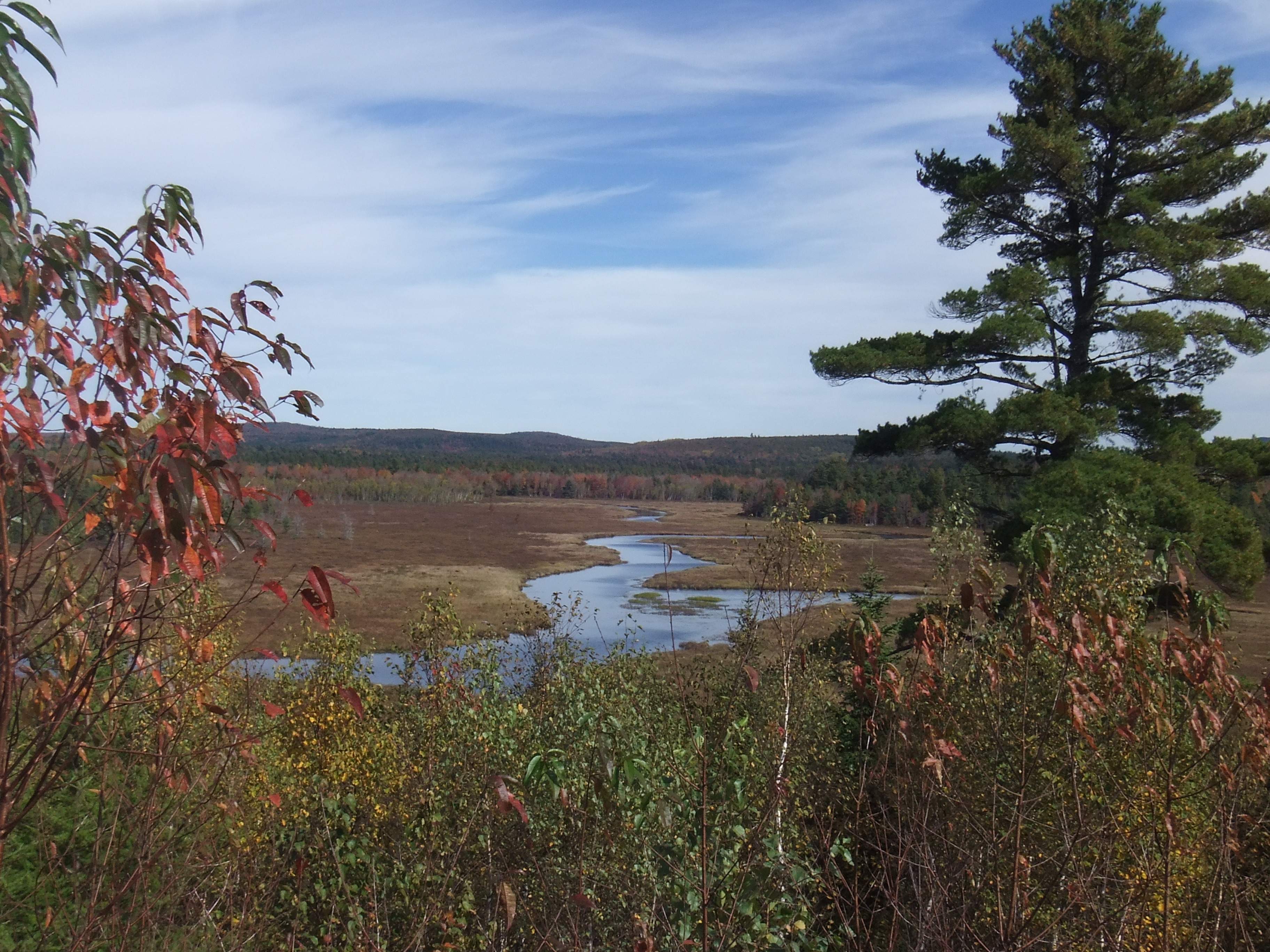
Middle Branch Union River

Middle Branch Union River

Sunset pond

Scenic Lookout in Maine

Union River

The Whalesback

Scenic Lookout in Maine
Topographic Map of Aurora, ME, USA
Find elevation by address:

Places near Aurora, ME, USA:
24 Smith Rd
Amherst
3840 Mariaville Rd
912 Great Pond Rd
953 Great Pond Rd
953 Great Pond Rd
Great Pond Rd, Great Pond, ME, USA
River Road
Great Pond
11 Whispering Pines Dr
Mariaville
592 Airline Rd
Clifton
Otis
167 Schoolhouse Rd
Beddington
593 Mariaville Rd
Black Cap Mountain
Beddington Rd, Beddington, ME, USA
Kellys Lane
Recent Searches:
- Elevation of Dog Leg Dr, Minden, NV, USA
- Elevation of Dog Leg Dr, Minden, NV, USA
- Elevation of Kambingan Sa Pansol Atbp., Purok 7 Pansol, Candaba, Pampanga, Philippines
- Elevation of Pinewood Dr, New Bern, NC, USA
- Elevation of Mountain View, CA, USA
- Elevation of Foligno, Province of Perugia, Italy
- Elevation of Blauwestad, Netherlands
- Elevation of Bella Terra Blvd, Estero, FL, USA
- Elevation of Estates Loop, Priest River, ID, USA
- Elevation of Woodland Oak Pl, Thousand Oaks, CA, USA