Elevation of Schoolhouse Rd, Mariaville, ME, USA
Location: United States > Maine > Hancock County > Mariaville >
Longitude: -68.418344
Latitude: 44.666609
Elevation: 36m / 118feet
Barometric Pressure: 101KPa
Elevation Map:
Satellite Map:
Related Photos:

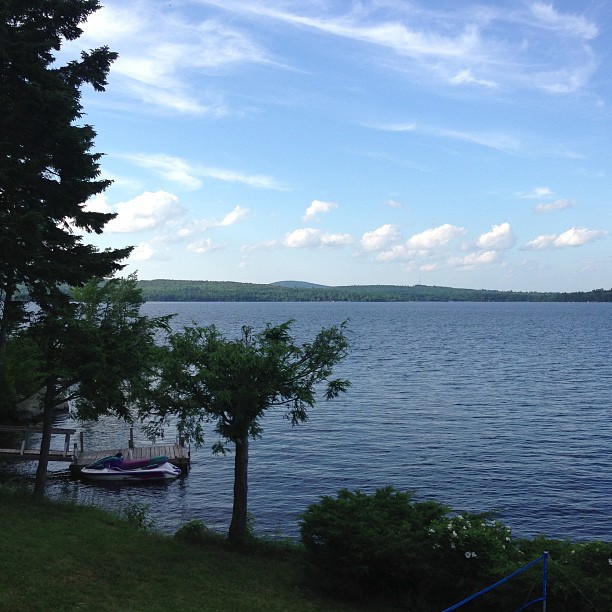
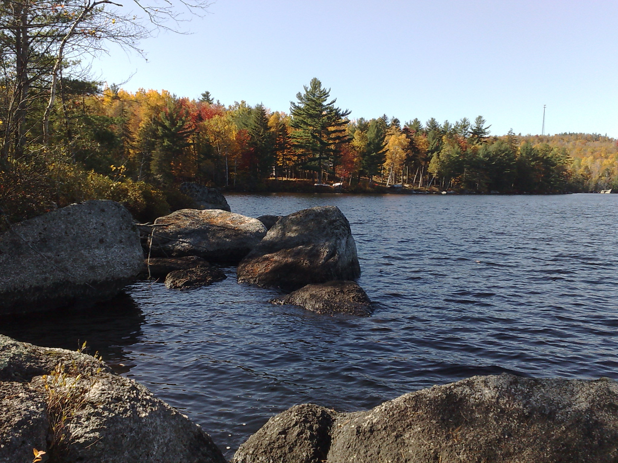
The view from Treasure Cove

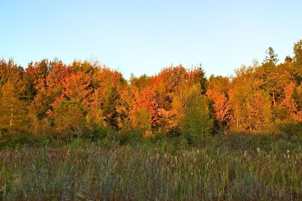
a molten canvas

97/365
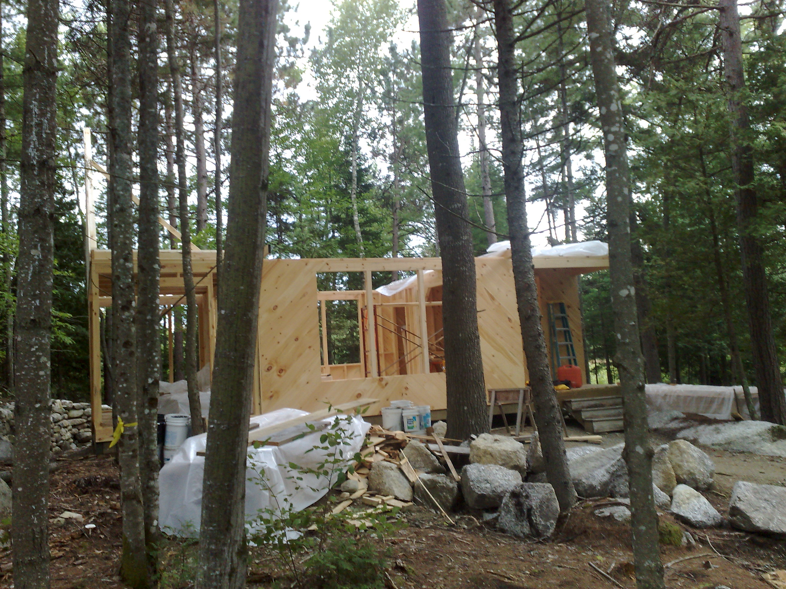
Front view, camp Sept 7, 08

Rear view of the Camp
View on road trip
Camp Roosevelt, Katahdin Coucil BSA

sunset over the lake
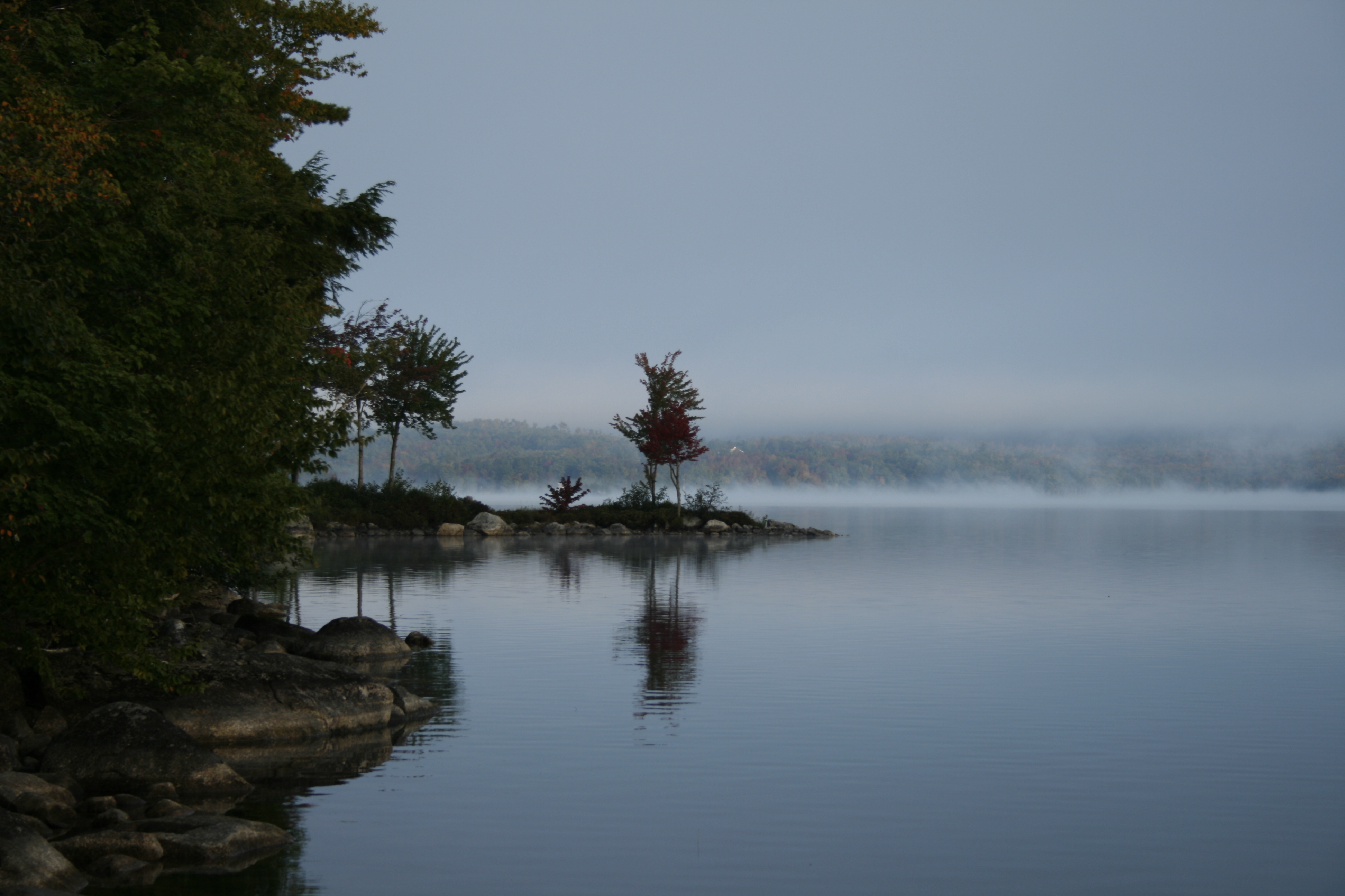
Multi-Color trees by Lake
Red & Yellow Trees 3
#camplife #maine

2013-07-06 17.18.35

Lucerne Sunset
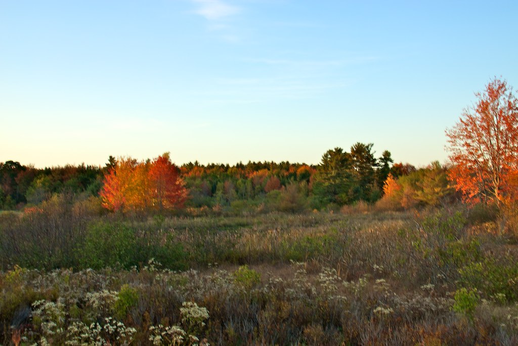
Red & Yellow Trees 1
Sugarloaf Maine
10212007005.jpg

2014-12-25 Union River, Ellsworth, ME
Branch Lake, Maine
Beech Hill Pond
Apple Orchard 9-19-2014 1-32-55 PM
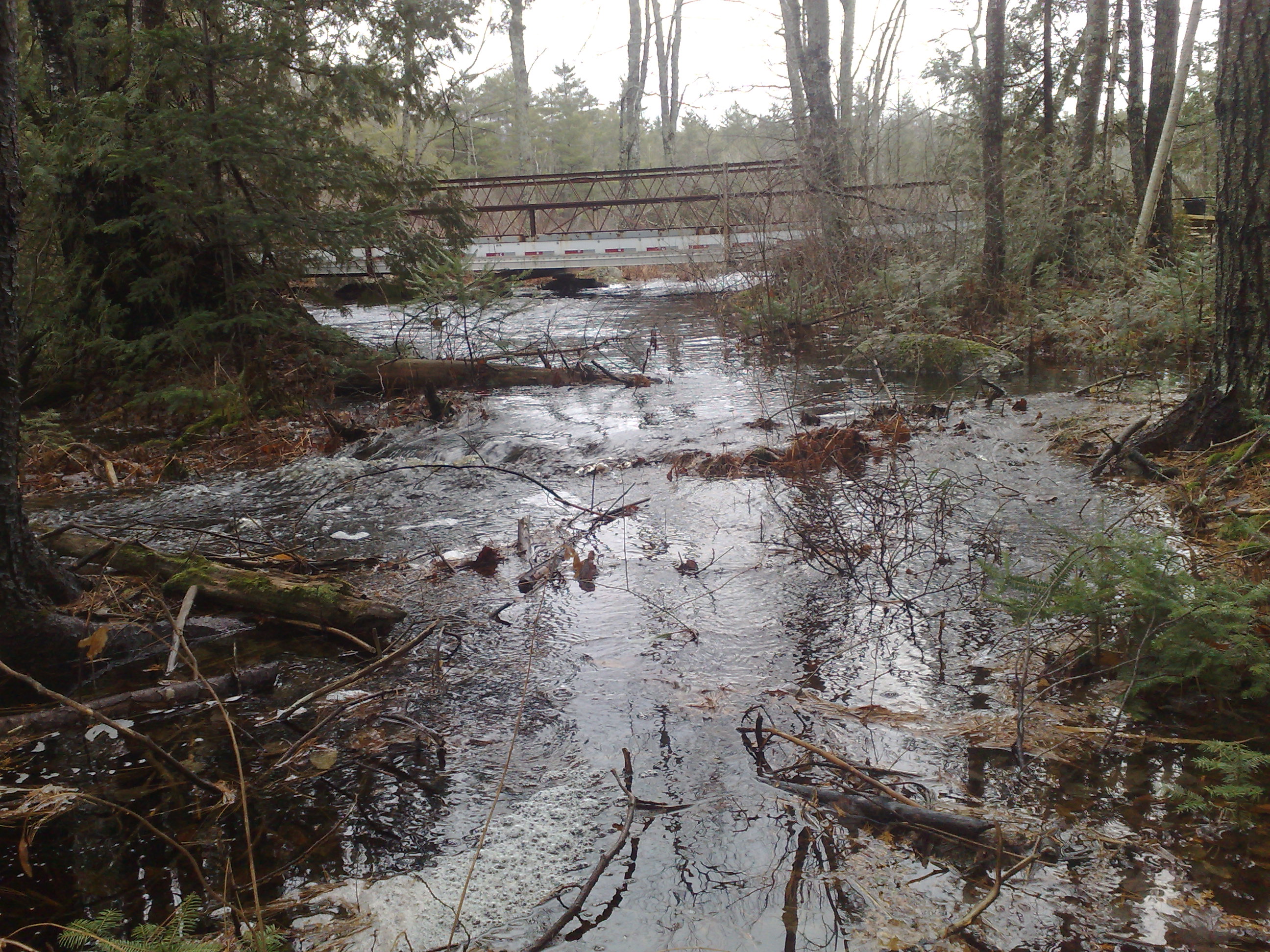
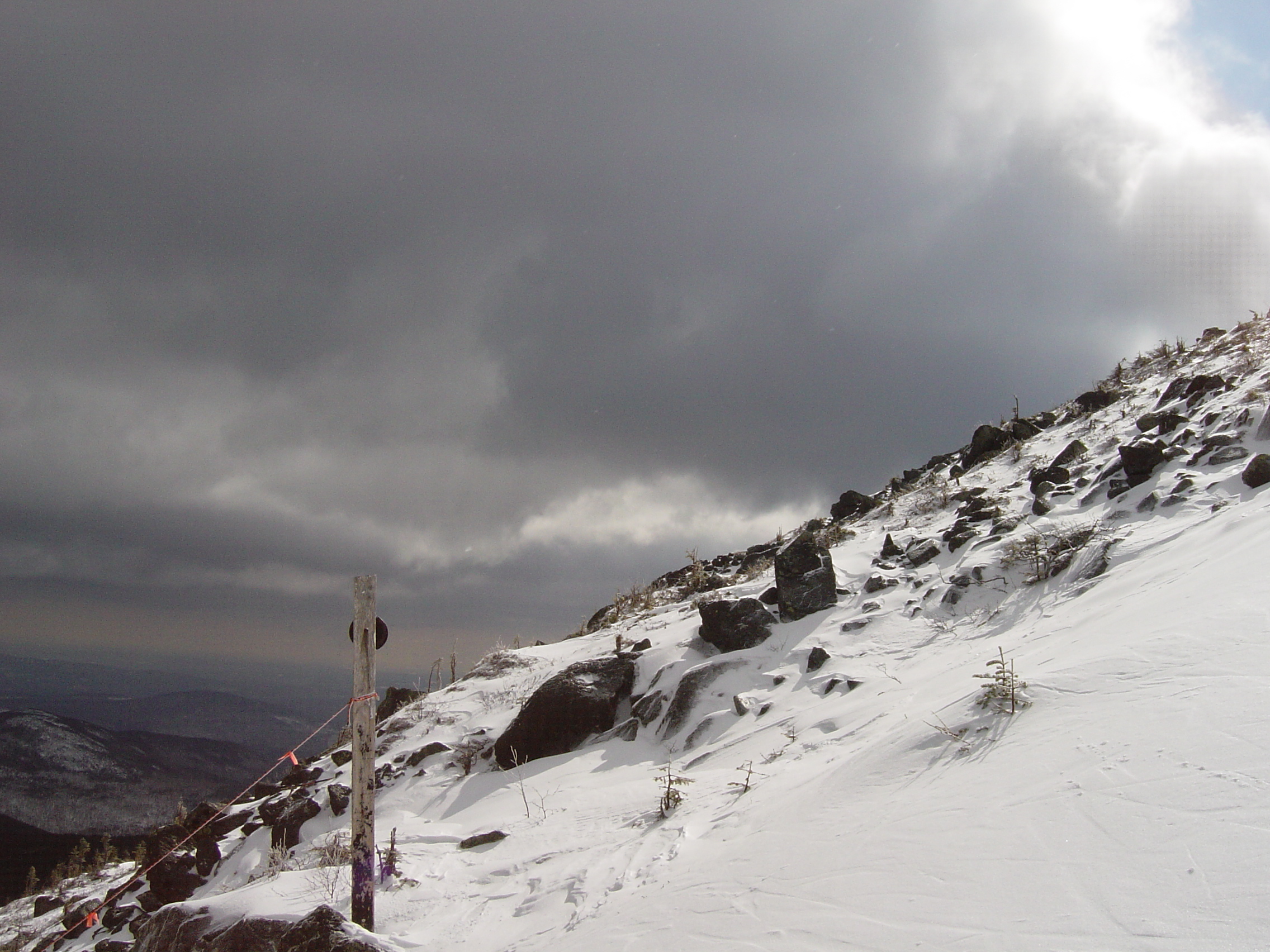
High Water

Clouds Over Beech Hill Pond
Topographic Map of Schoolhouse Rd, Mariaville, ME, USA
Find elevation by address:

Places near Schoolhouse Rd, Mariaville, ME, USA:
593 Mariaville Rd
Mariaville
Otis
11 Whispering Pines Dr
78 Bridgetwin Rd
River Road
Hancock County
12 Western Ave
Bangor Rd, Ellsworth, ME, USA
Washington Junction Rd, Ellsworth, ME, USA
Ellsworth
124 Bayside Rd
21 Kingsland Crossing
Maggie's Way
Mud Creek Road
Mud Creek Road
Mud Creek Road
Mud Creek Road
Mud Creek Road
Mud Creek Road
Recent Searches:
- Elevation of Woodland Oak Pl, Thousand Oaks, CA, USA
- Elevation of Brownsdale Rd, Renfrew, PA, USA
- Elevation of Corcoran Ln, Suffolk, VA, USA
- Elevation of Mamala II, Sariaya, Quezon, Philippines
- Elevation of Sarangdanda, Nepal
- Elevation of 7 Waterfall Way, Tomball, TX, USA
- Elevation of SW 57th Ave, Portland, OR, USA
- Elevation of Crocker Dr, Vacaville, CA, USA
- Elevation of Pu Ngaol Community Meeting Hall, HWHM+3X7, Krong Saen Monourom, Cambodia
- Elevation of Royal Ontario Museum, Queens Park, Toronto, ON M5S 2C6, Canada