Elevation of Mariaville, ME, USA
Location: United States > Maine > Hancock County >
Longitude: -68.415578
Latitude: 44.7206287
Elevation: 71m / 233feet
Barometric Pressure: 100KPa
Elevation Map:
Satellite Map:
Related Photos:

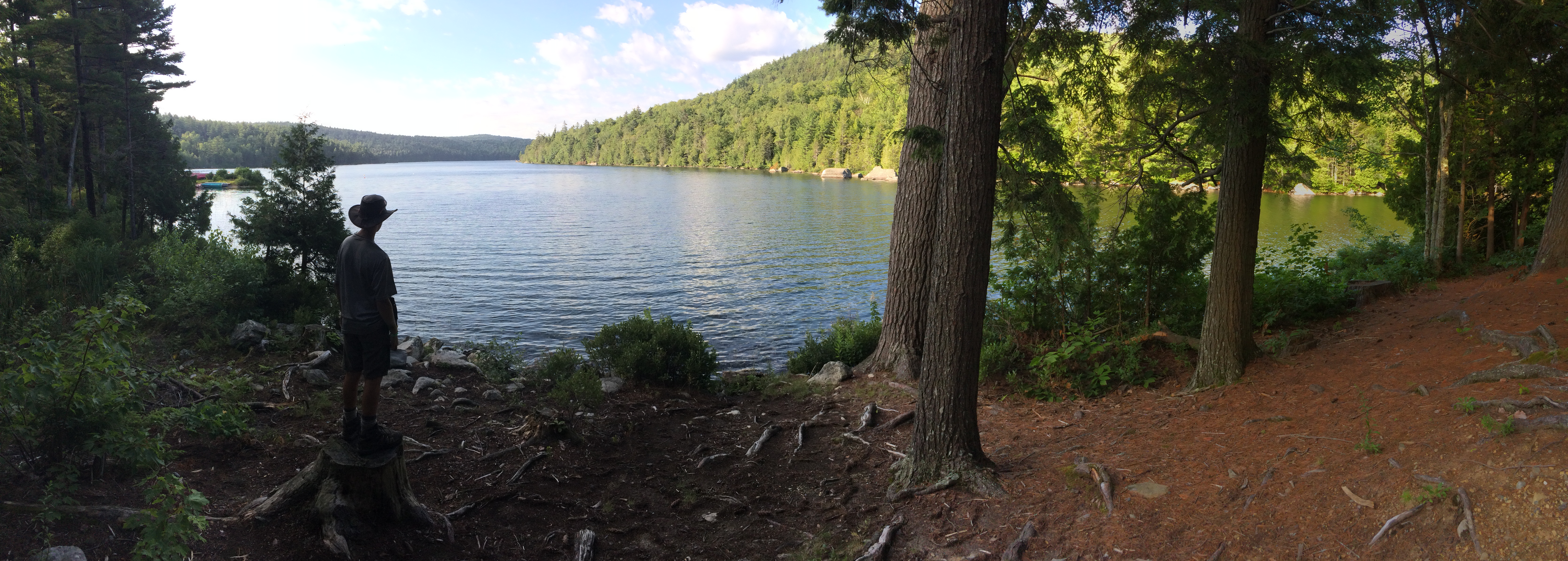
The view from Treasure Cove
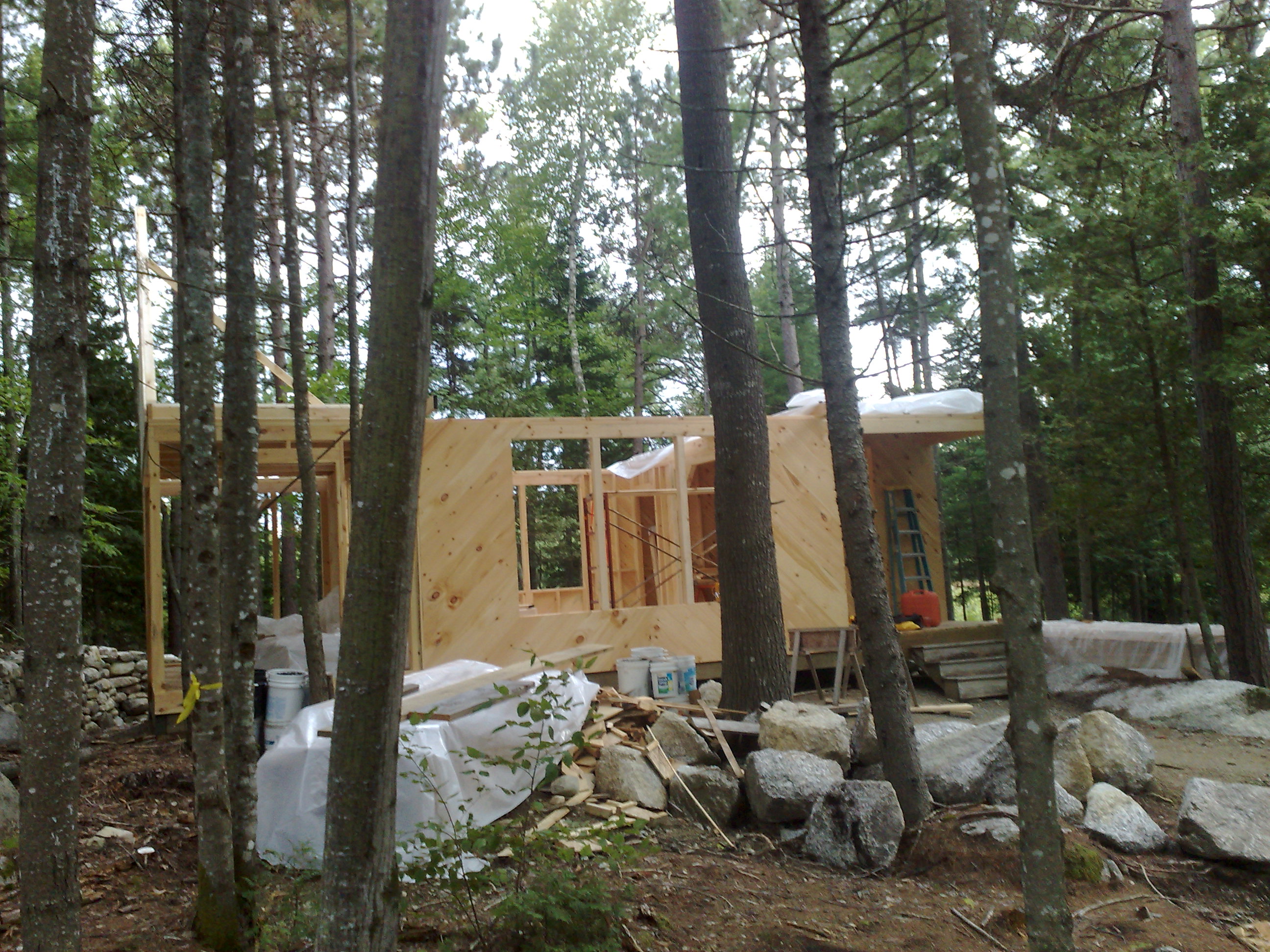
Front view, camp Sept 7, 08

Rear view of the Camp
Camp Roosevelt, Katahdin Coucil BSA

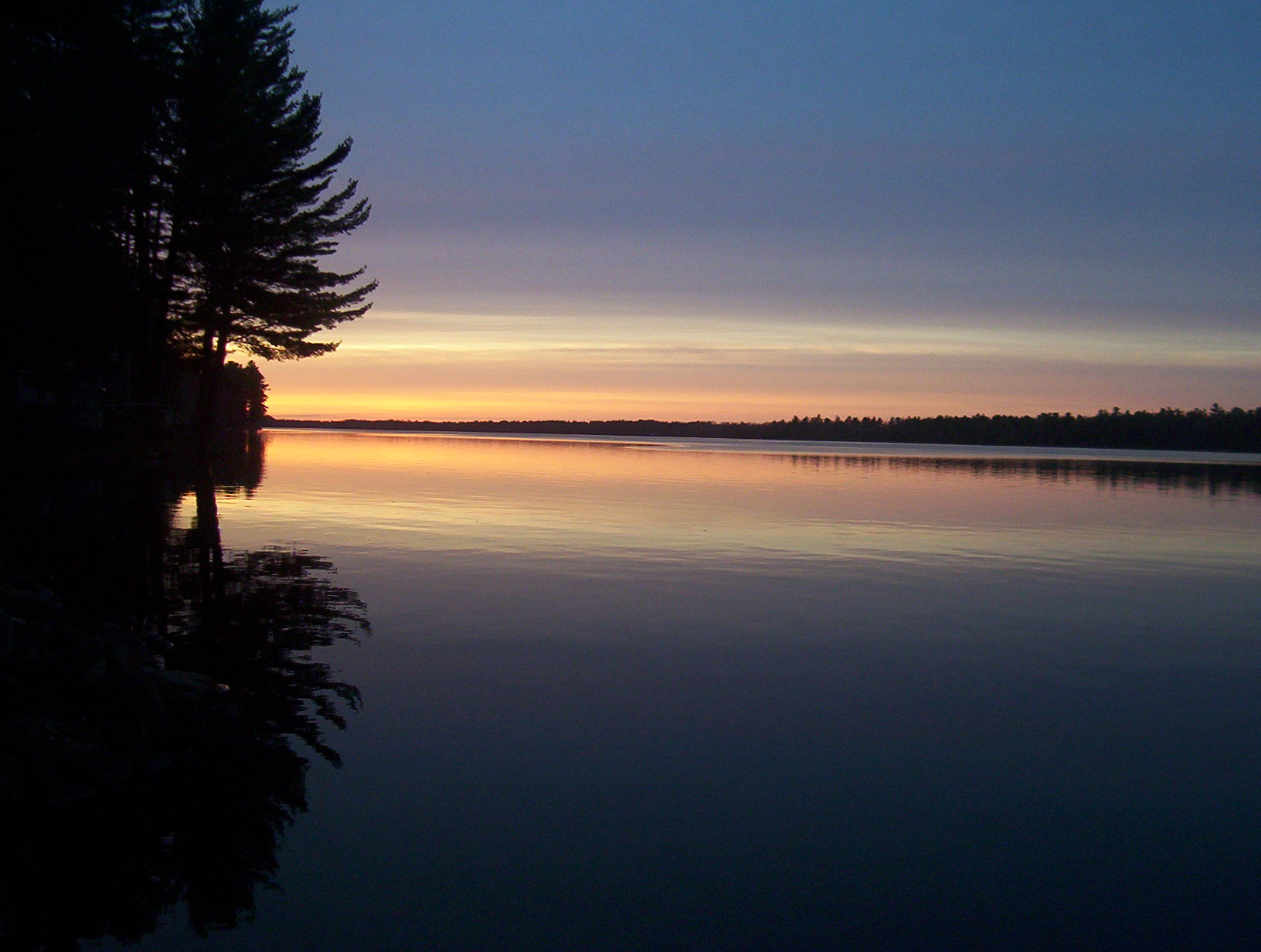
sunset over the lake
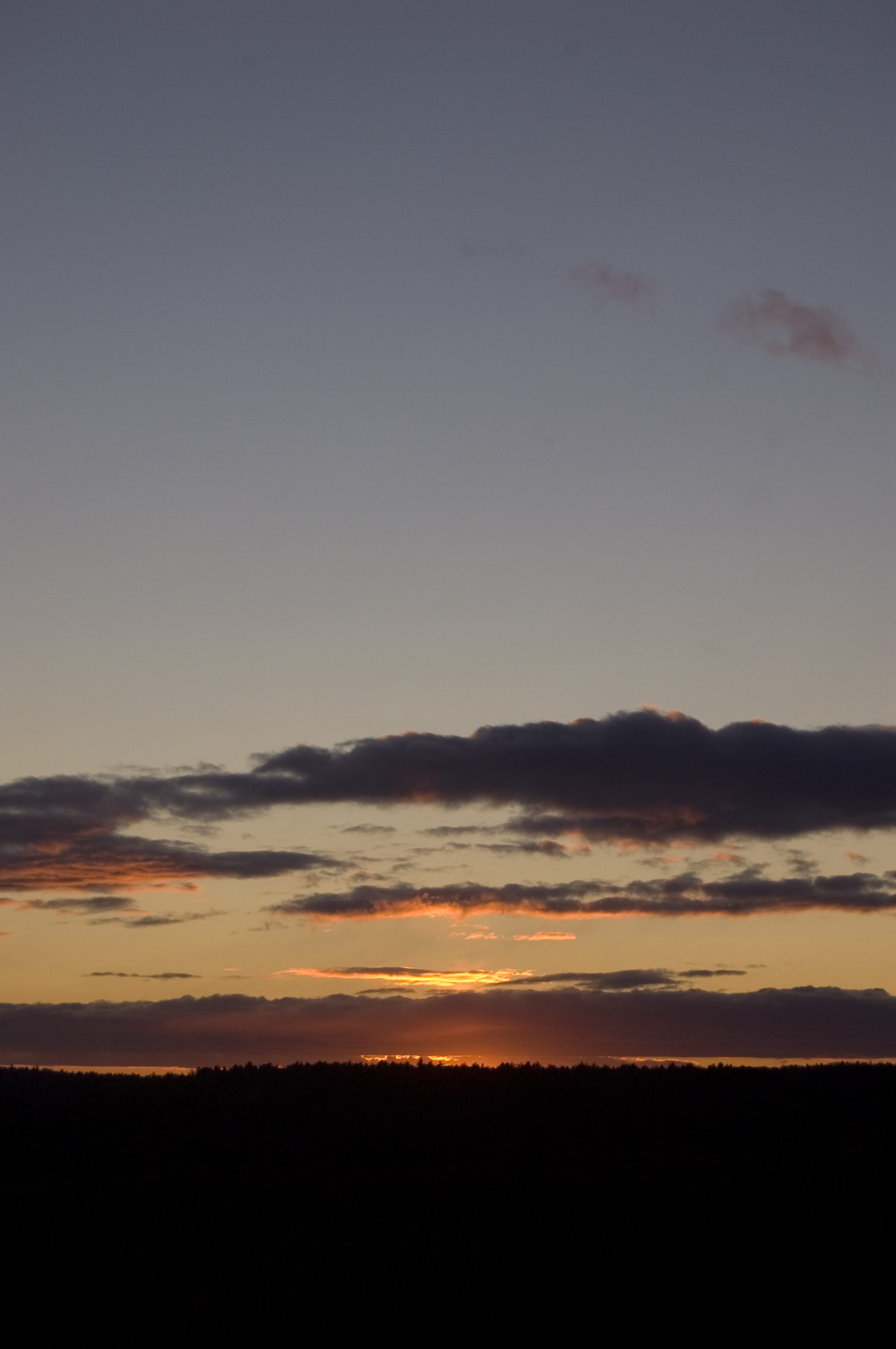
Lucerne Sunset
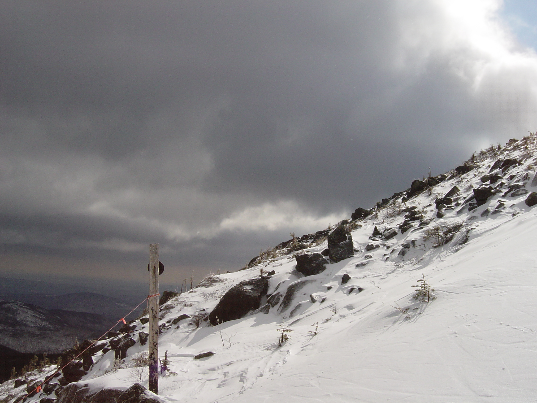
Sugarloaf Maine
10212007005.jpg
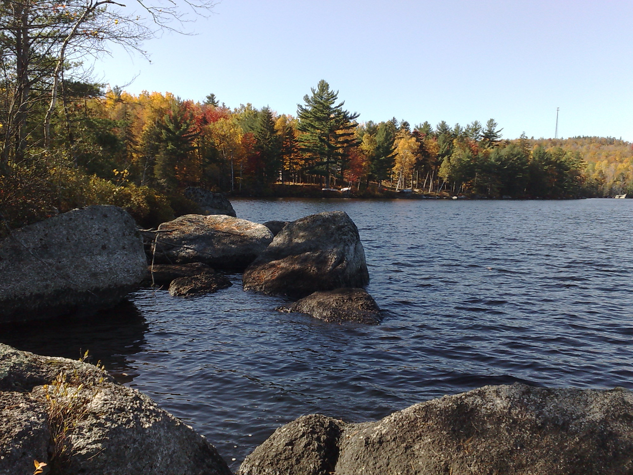
Beech Hill Pond
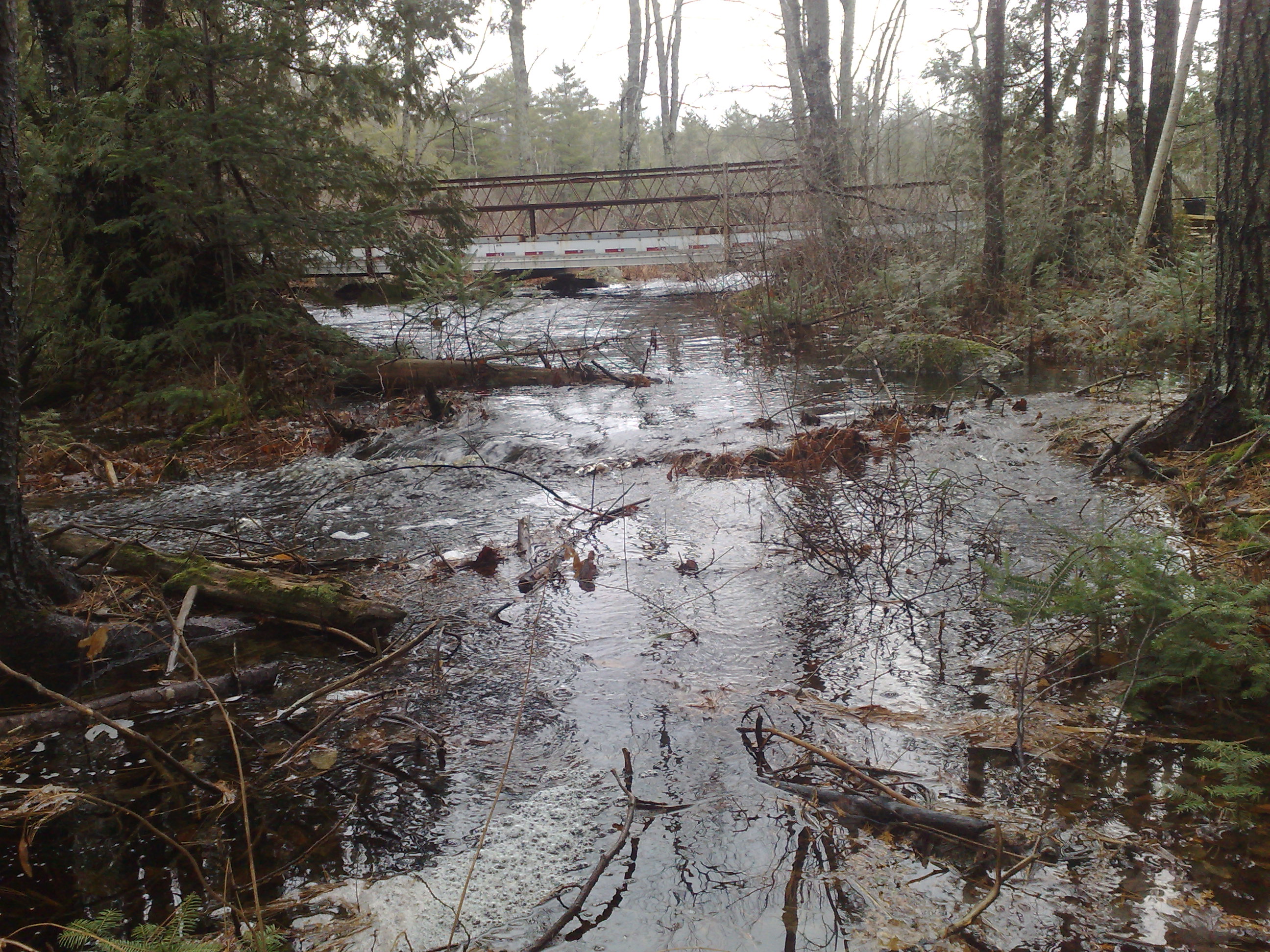
High Water
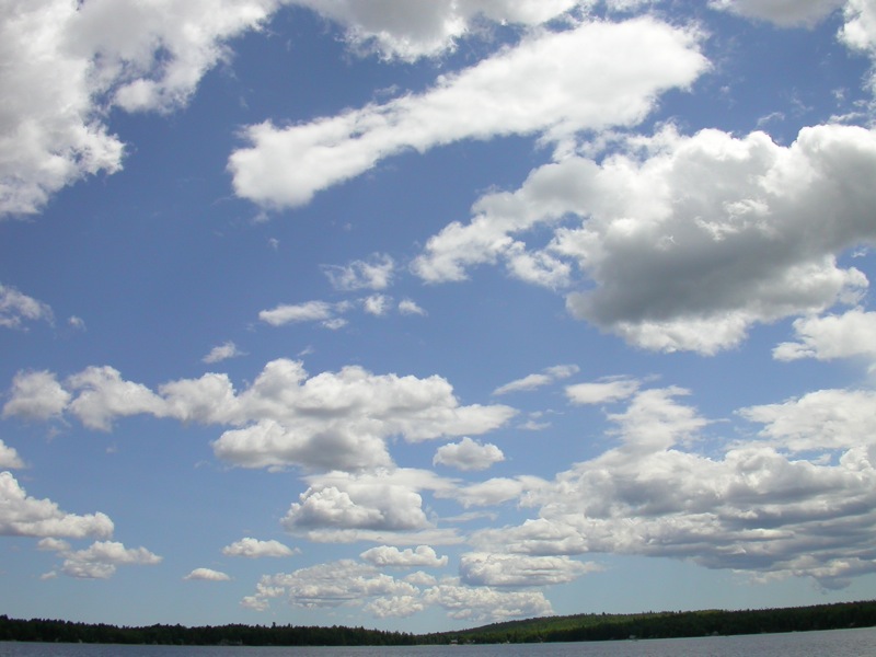
Clouds Over Beech Hill Pond

CLR011.jpg
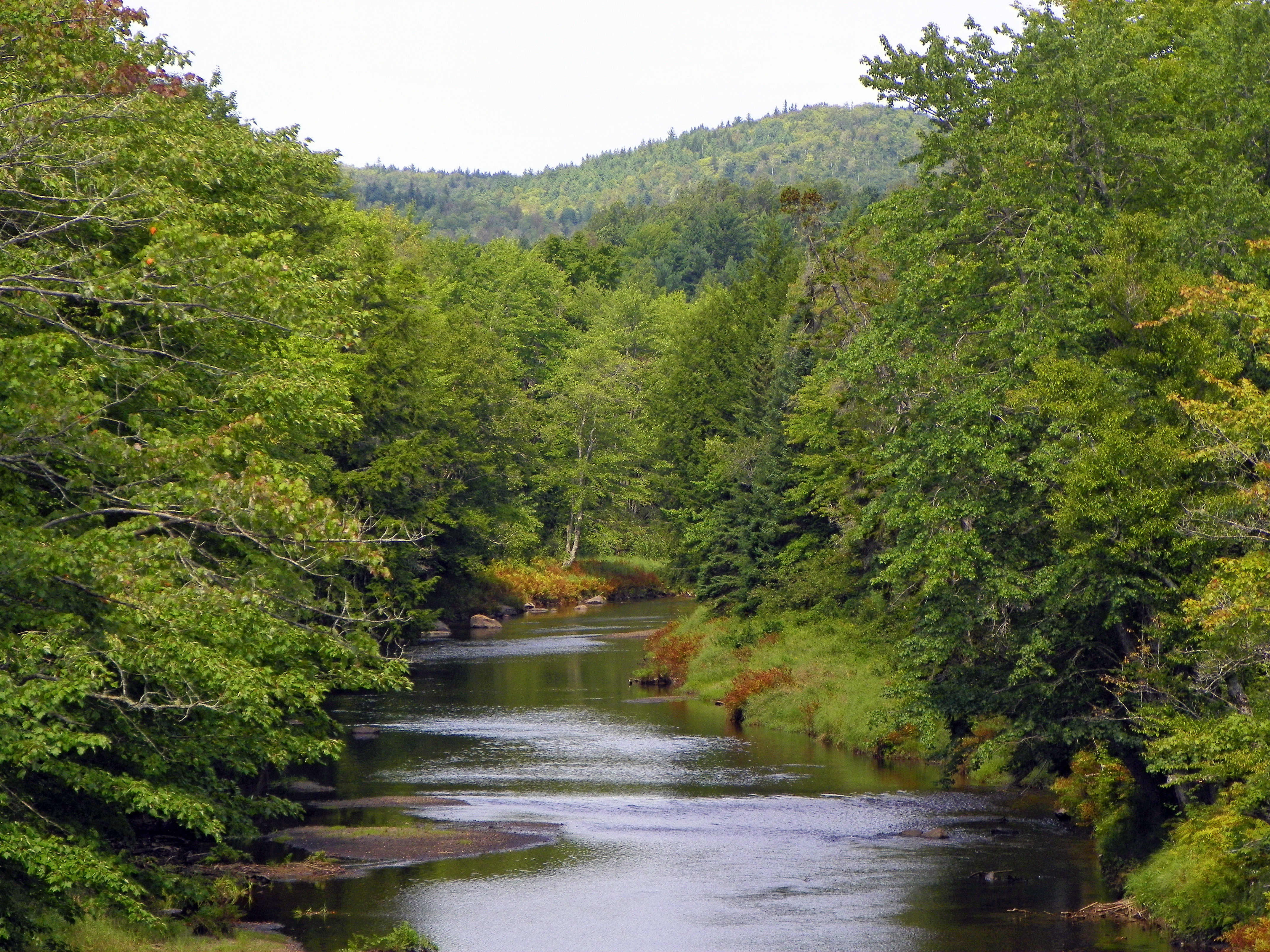
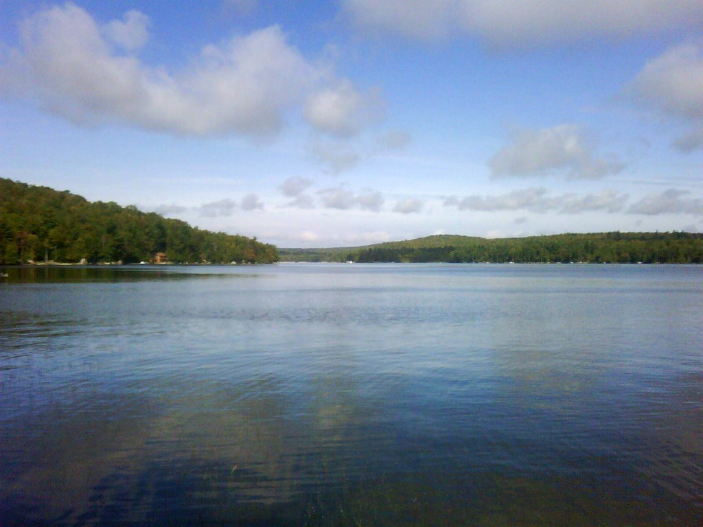
Union River
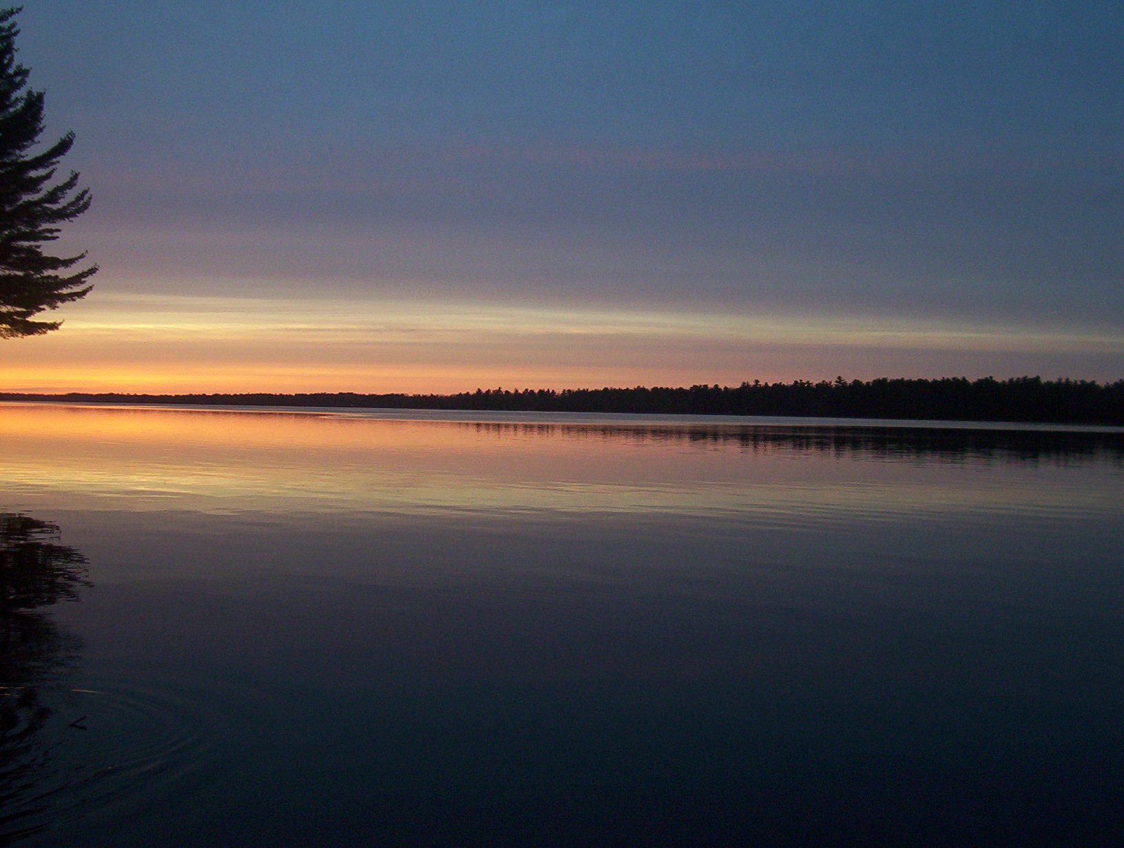
Sunset over Chemo Pond
Sunset over Chemo Pond
Topographic Map of Mariaville, ME, USA
Find elevation by address:

Places in Mariaville, ME, USA:
Places near Mariaville, ME, USA:
11 Whispering Pines Dr
Otis
167 Schoolhouse Rd
River Road
593 Mariaville Rd
3840 Mariaville Rd
Amherst
24 Smith Rd
78 Bridgetwin Rd
592 Airline Rd
Clifton
Bangor Rd, Ellsworth, ME, USA
Black Cap Mountain
Hancock County
12 Western Ave
Aurora
Washington Junction Rd, Ellsworth, ME, USA
Ellsworth
160 Hurd Point Rd
160 Hurd Point Rd
Recent Searches:
- Elevation of Leyte Industrial Development Estate, Isabel, Leyte, Philippines
- Elevation of W Granada St, Tampa, FL, USA
- Elevation of Pykes Down, Ivybridge PL21 0BY, UK
- Elevation of Jalan Senandin, Lutong, Miri, Sarawak, Malaysia
- Elevation of Bilohirs'k
- Elevation of 30 Oak Lawn Dr, Barkhamsted, CT, USA
- Elevation of Luther Road, Luther Rd, Auburn, CA, USA
- Elevation of Unnamed Road, Respublika Severnaya Osetiya — Alaniya, Russia
- Elevation of Verkhny Fiagdon, North Ossetia–Alania Republic, Russia
- Elevation of F. Viola Hiway, San Rafael, Bulacan, Philippines