Elevation of Beddington Rd, Beddington, ME, USA
Location: United States > Maine > Washington County > Beddington >
Longitude: -68.047106
Latitude: 44.8018122
Elevation: 148m / 486feet
Barometric Pressure: 100KPa
Elevation Map:
Satellite Map:
Related Photos:
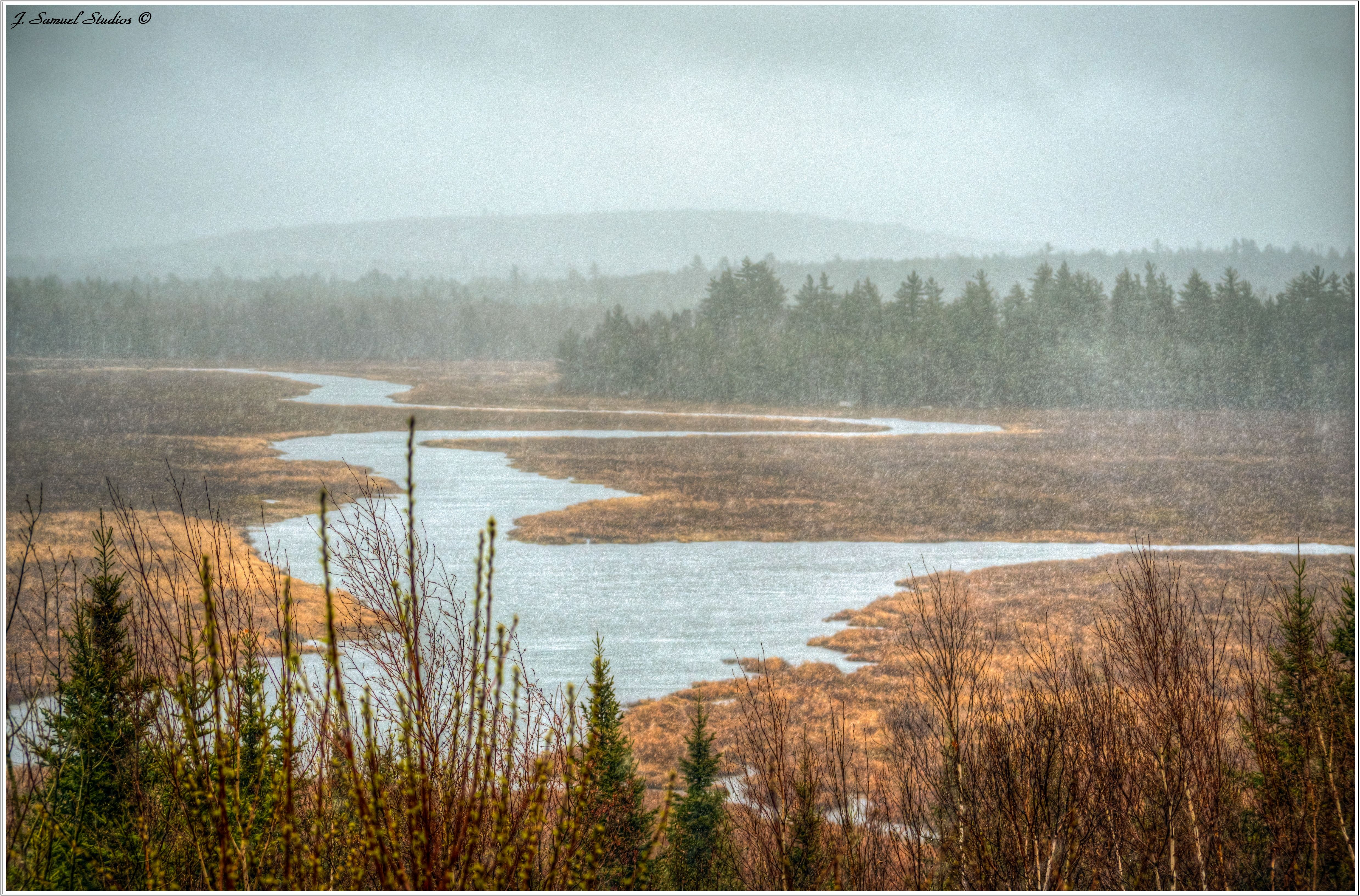
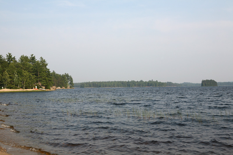
A Rainy Maine...
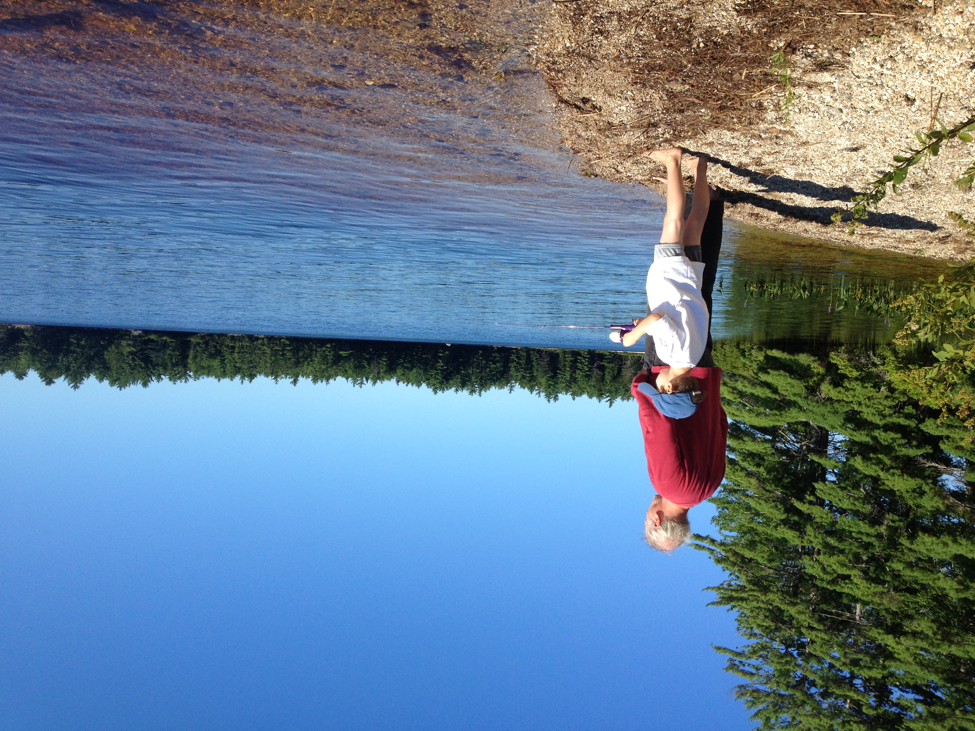
Udo and Grandpa Steve fishing

On the Airline
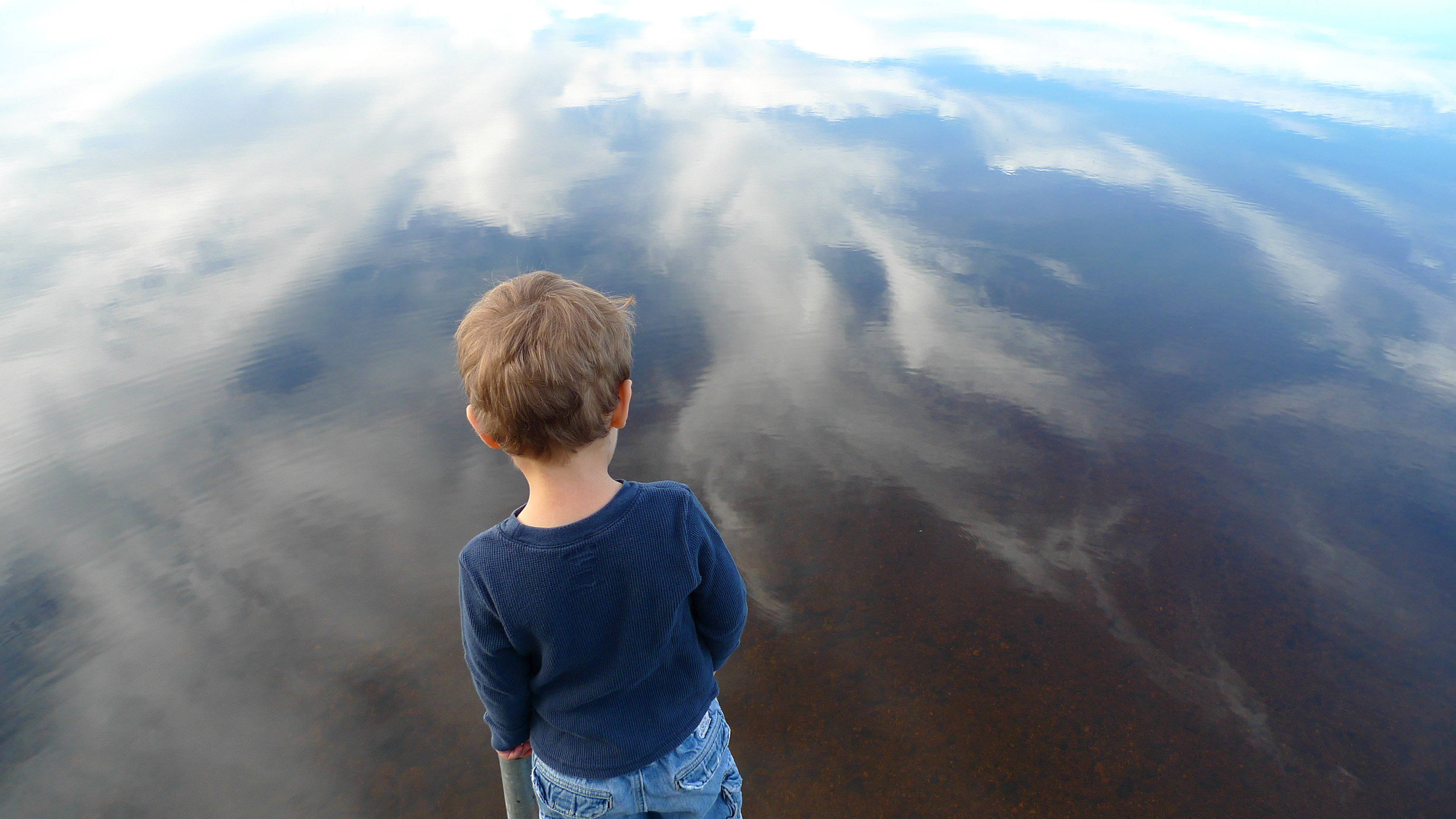
Edge of the World, part 2

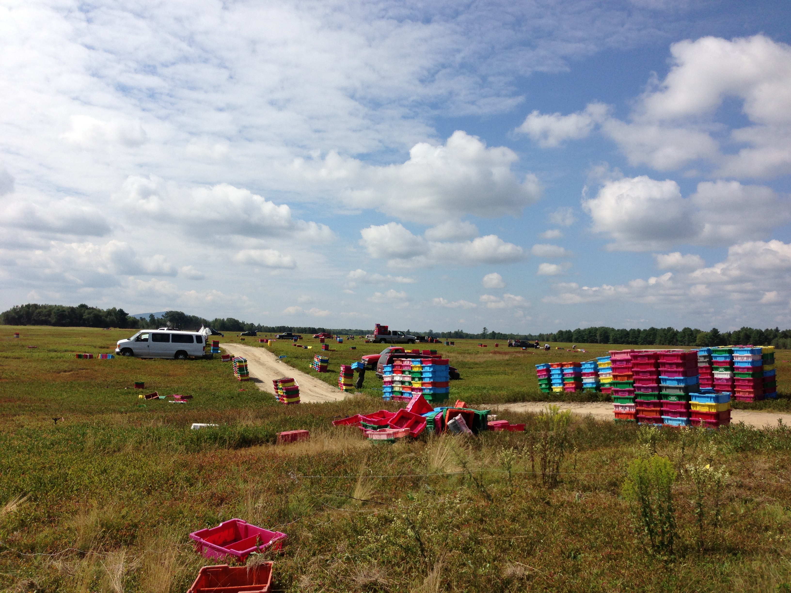
Wyman blueberry farm, cherry field, maine
Picking blueberries
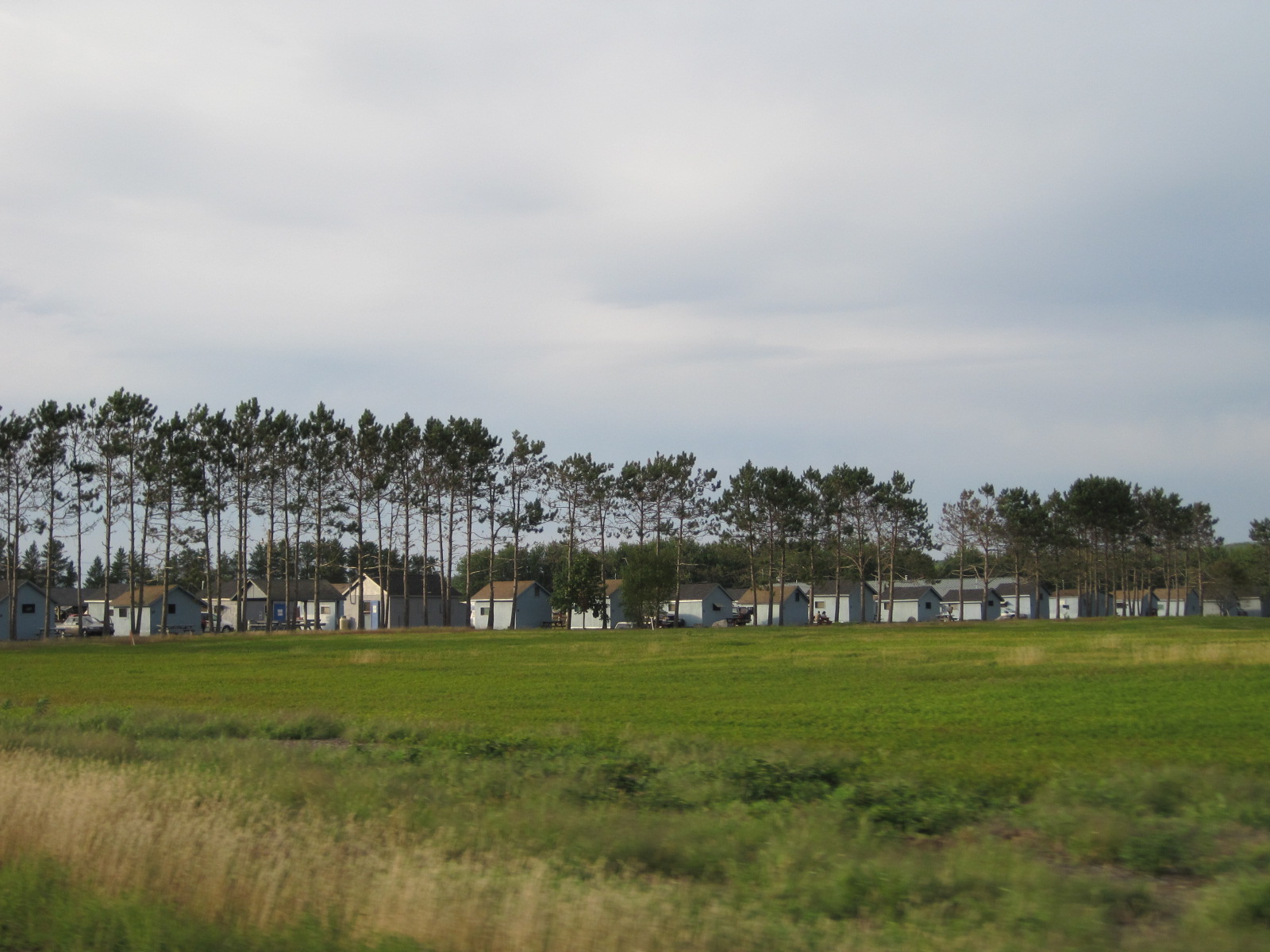
Maine Camp (both on the left-side)

Watering the blueberry fields
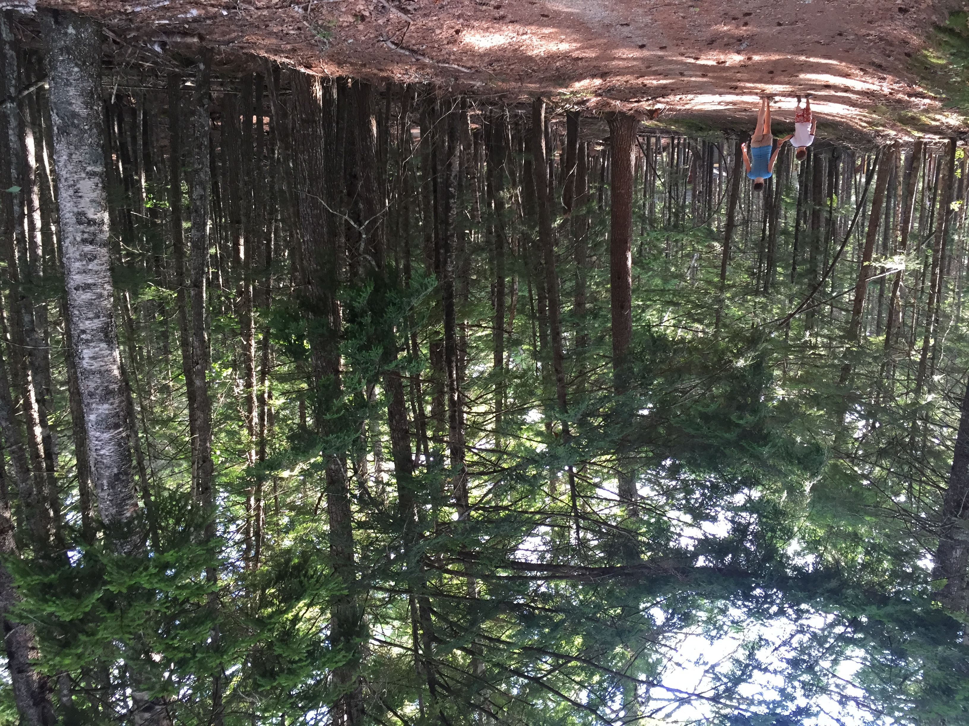
A walk in the woods
Cheap Labor
Topographic Map of Beddington Rd, Beddington, ME, USA
Find elevation by address:

Places near Beddington Rd, Beddington, ME, USA:
Beddington
Beddington Rd, Deblois, ME, USA
Deblois
Southwest Pond Road
Hilltop Lane
Ridge Road
1050 Unionville Rd
129 Main St
Cherryfield
9 N Main St
953 Great Pond Rd
912 Great Pond Rd
953 Great Pond Rd
Great Pond Rd, Great Pond, ME, USA
Loon Dr, Sullivan, ME, USA
684 Tunk Lake Rd
Aurora
Franklin
Kennedy Hwy, Harrington, ME, USA
Sullivan
Recent Searches:
- Elevation of SW 57th Ave, Portland, OR, USA
- Elevation of Crocker Dr, Vacaville, CA, USA
- Elevation of Pu Ngaol Community Meeting Hall, HWHM+3X7, Krong Saen Monourom, Cambodia
- Elevation of Royal Ontario Museum, Queens Park, Toronto, ON M5S 2C6, Canada
- Elevation of Groblershoop, South Africa
- Elevation of Power Generation Enterprises | Industrial Diesel Generators, Oak Ave, Canyon Country, CA, USA
- Elevation of Chesaw Rd, Oroville, WA, USA
- Elevation of N, Mt Pleasant, UT, USA
- Elevation of 6 Rue Jules Ferry, Beausoleil, France
- Elevation of Sattva Horizon, 4JC6+G9P, Vinayak Nagar, Kattigenahalli, Bengaluru, Karnataka, India