Elevation of Ridge Road, Ridge Rd, Cherryfield, ME, USA
Location: United States > Maine > Washington County > Cherryfield >
Longitude: -67.899552
Latitude: 44.6352715
Elevation: 57m / 187feet
Barometric Pressure: 101KPa
Elevation Map:
Satellite Map:
Related Photos:

View of Tunk Mountain from Popple Hill
I like this view.
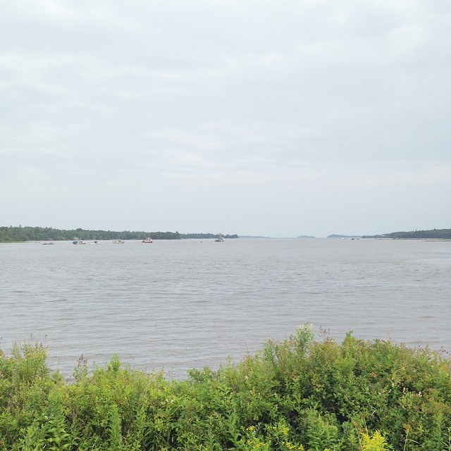
New view. Coast of Maine.

Tunk Mountain hike

This is kind of a nice view.

Tunk Mountain hike

My view for the next week

Kitchen am view

Two-Striped Grasshopper nymph
View off the dock. Look, no people!!! #maine #vacation #happy

Twice-stabbed

Bumble Bee on flower

Bumble Bee to flower

The house my friends Maia and Scott live in from across the water!!!

Tunk Mountain Wilderness - Maine

Tunk Mountain Wilderness 2 - Maine

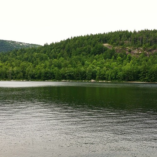
Just scenery

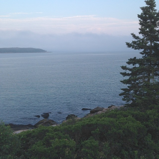
Acadia National Park
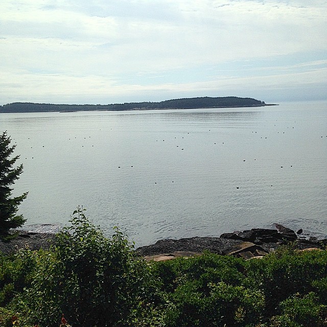
It's of lobster buoys in what little sun there is today.

Tunk Pano Spring River Lake

Not as busy as Cape Cod but much more serene

The Great Heath
Tunk Stream tributary

Tunk Mountain hike

Fly Fishing With Todd

Tunk Mountain hike

Evening calm along Tunk

Tunk Mountain hike
Topographic Map of Ridge Road, Ridge Rd, Cherryfield, ME, USA
Find elevation by address:

Places near Ridge Road, Ridge Rd, Cherryfield, ME, USA:
Cherryfield
Hilltop Lane
129 Main St
9 N Main St
1050 Unionville Rd
10 Main St
Milbridge
Milbridge United Methodist Church
East Side Road
60 Tom Leighton Point Rd, Milbridge, ME, USA
Steuben
Goods Point Road
1617 Us-1 #1a
8 Sandpiper Shores Rd
31 Grange Rd
Gouldsboro
684 Tunk Lake Rd
Loon Dr, Sullivan, ME, USA
Sullivan
8 Town Landing Rd, Sullivan, ME, USA
Recent Searches:
- Elevation of Groblershoop, South Africa
- Elevation of Power Generation Enterprises | Industrial Diesel Generators, Oak Ave, Canyon Country, CA, USA
- Elevation of Chesaw Rd, Oroville, WA, USA
- Elevation of N, Mt Pleasant, UT, USA
- Elevation of 6 Rue Jules Ferry, Beausoleil, France
- Elevation of Sattva Horizon, 4JC6+G9P, Vinayak Nagar, Kattigenahalli, Bengaluru, Karnataka, India
- Elevation of Great Brook Sports, Gold Star Hwy, Groton, CT, USA
- Elevation of 10 Mountain Laurels Dr, Nashua, NH, USA
- Elevation of 16 Gilboa Ln, Nashua, NH, USA
- Elevation of Laurel Rd, Townsend, TN, USA