Elevation of Ashland County, OH, USA
Location: United States > Ohio >
Longitude: -82.301772
Latitude: 40.9435588
Elevation: 344m / 1129feet
Barometric Pressure: 97KPa
Elevation Map:
Satellite Map:
Related Photos:

Cheesebarn Exterior 2

Country View

View into the Susaphone

Street View

Home sweet home

View from the Sports Sciences Building

Almost Hidden

Fleeing to the Cleve with a...

Home sweet home

Home sweet home

It's Not Easy Bein' Green

An April Sunset

Amy was here.
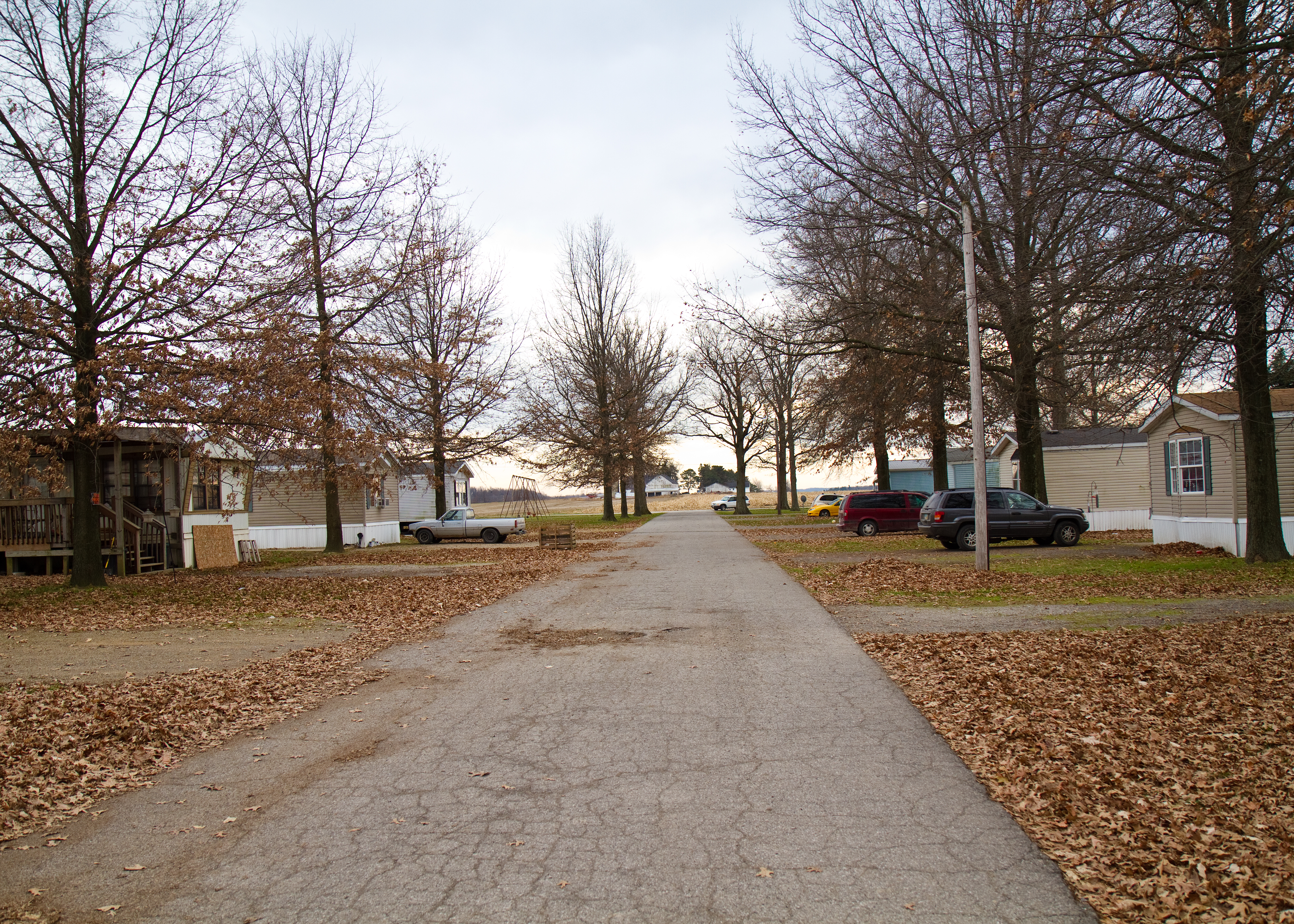
End of the Road

Sunset Sky
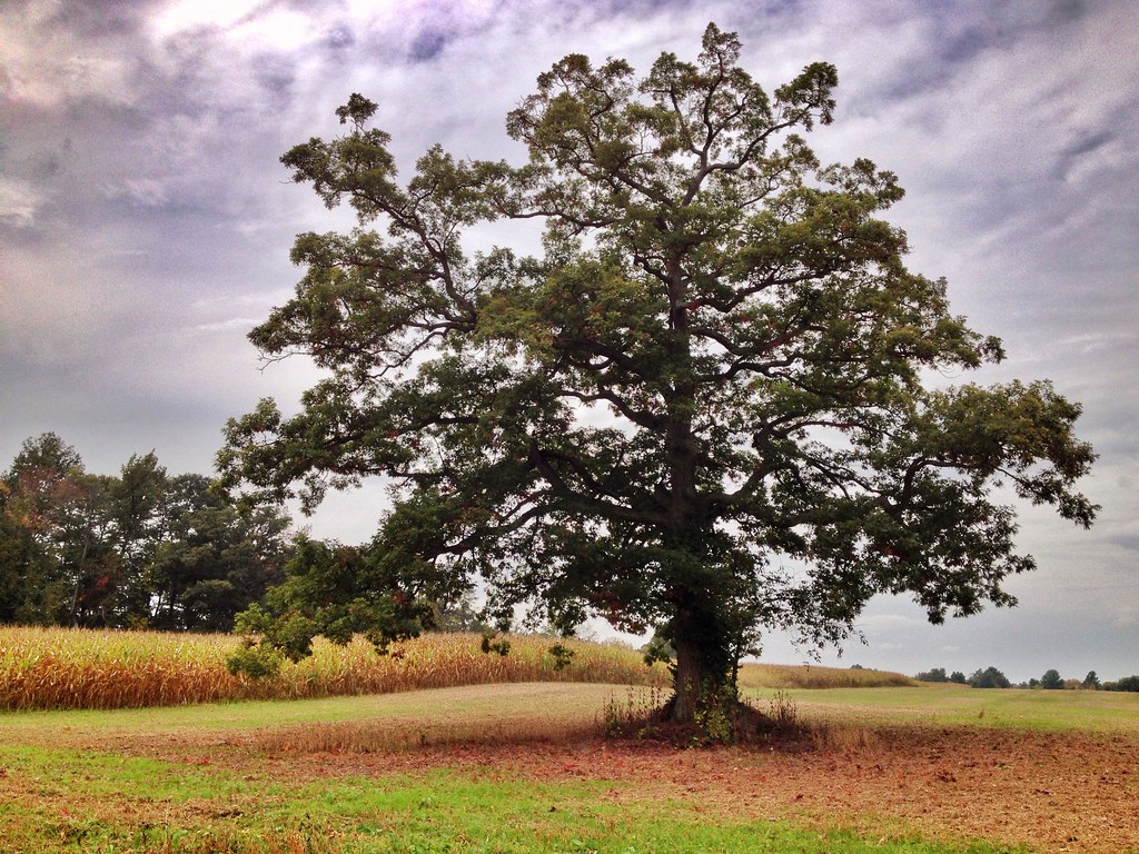
Magical Tree

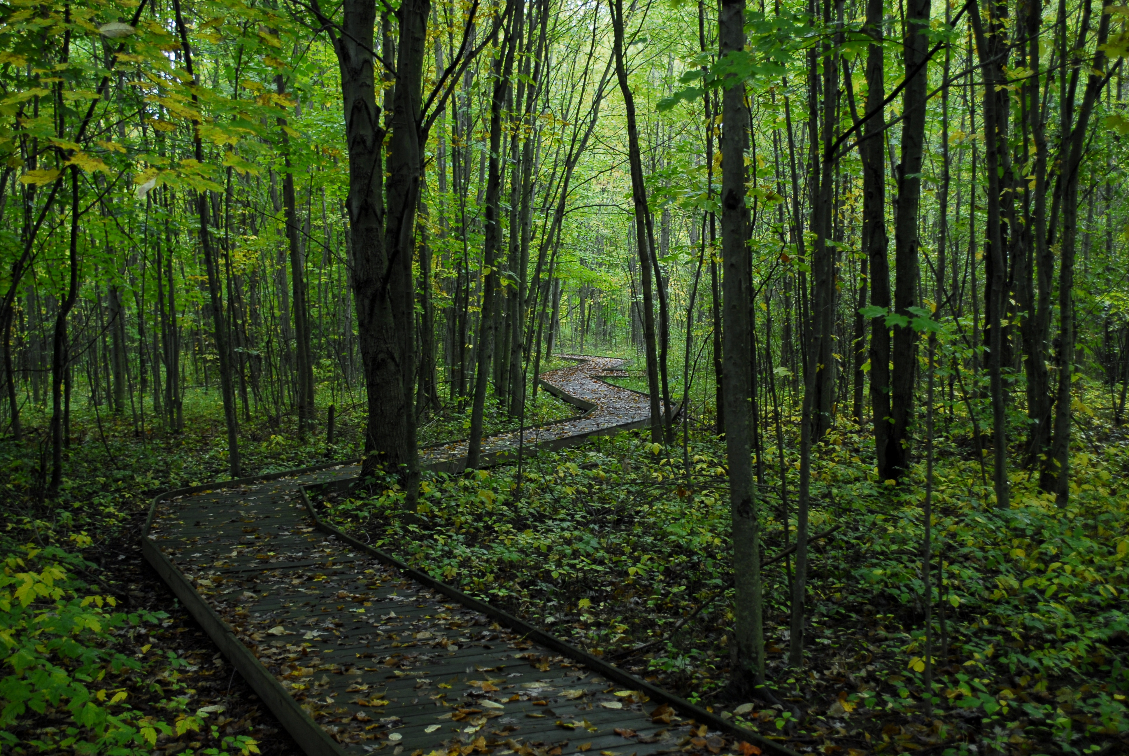
Mossy Forest

Dark Trees

img_1034.jpg

A River Runs Through It
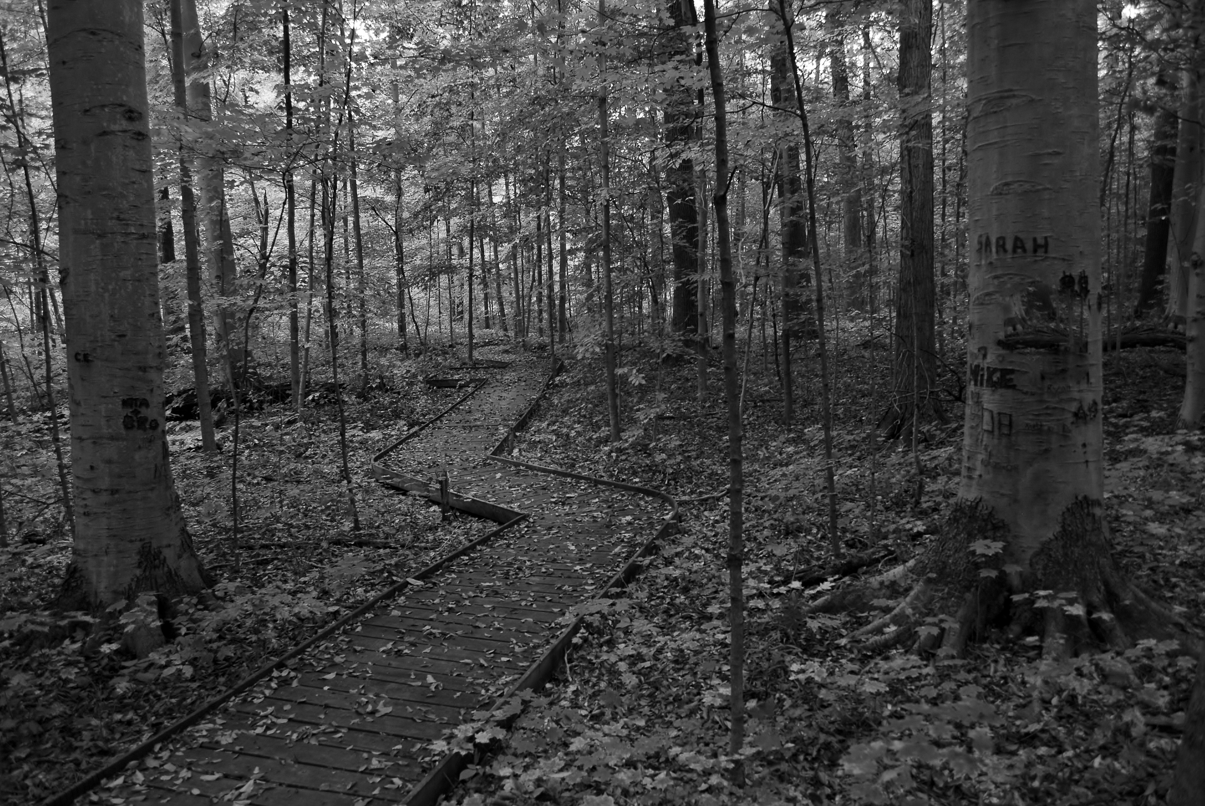
pathway to hope.

Lonely Ohio Road

UN Ashland County

8 Ashland County
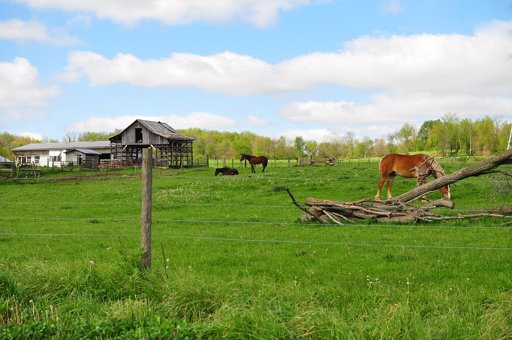
Amish Farm

I-71 is Boring
we walk together as a team.

Tip-Toe Thru The Tulips 002

photo(69ue)

Railroad track

photo(r6ig)
Topographic Map of Ashland County, OH, USA
Find elevation by address:

Places in Ashland County, OH, USA:
Ashland
Hanover Township
Mohican Township
Mifflin Township
Jackson Township
Orange Township
Perry Township
Montgomery Township
Schiago Trail, Ashland, OH, USA
OH-60, Loudonville, OH, USA
US-, Nova, OH, USA
Cherry Alley, Perrysville, OH, USA
Loudonville
Sullivan
Green Township
Troy Township
Vermillion Township
Places near Ashland County, OH, USA:
OH-, Ashland, OH, USA
1113 Township Rd 793
Cleveland Ave, Ashland, OH, USA
Ashland
608 Grant St
Ashland University
OH-, Ashland, OH, USA
1019 T R 1714
N Olivesburg Rd, Mansfield, OH, USA
US-42, Ashland, OH, USA
Weller Township
Olivesburg Rd, Mansfield, OH, USA
1273 Melrose Dr
Madison Township
600 S Airport Rd
512 Annadale Ave
Mansfield Correctional Institute
357 Dean Rd
University Drive
Cass Township
Recent Searches:
- Elevation of Corso Fratelli Cairoli, 35, Macerata MC, Italy
- Elevation of Tallevast Rd, Sarasota, FL, USA
- Elevation of 4th St E, Sonoma, CA, USA
- Elevation of Black Hollow Rd, Pennsdale, PA, USA
- Elevation of Oakland Ave, Williamsport, PA, USA
- Elevation of Pedrógão Grande, Portugal
- Elevation of Klee Dr, Martinsburg, WV, USA
- Elevation of Via Roma, Pieranica CR, Italy
- Elevation of Tavkvetili Mountain, Georgia
- Elevation of Hartfords Bluff Cir, Mt Pleasant, SC, USA