Elevation of Ashland, OH, USA
Location: United States > Ohio > Ashland County >
Longitude: -82.318217
Latitude: 40.8686675
Elevation: 325m / 1066feet
Barometric Pressure: 97KPa
Elevation Map:
Satellite Map:
Related Photos:

View into the Susaphone

Home sweet home

View from the Sports Sciences Building

Fleeing to the Cleve with a...
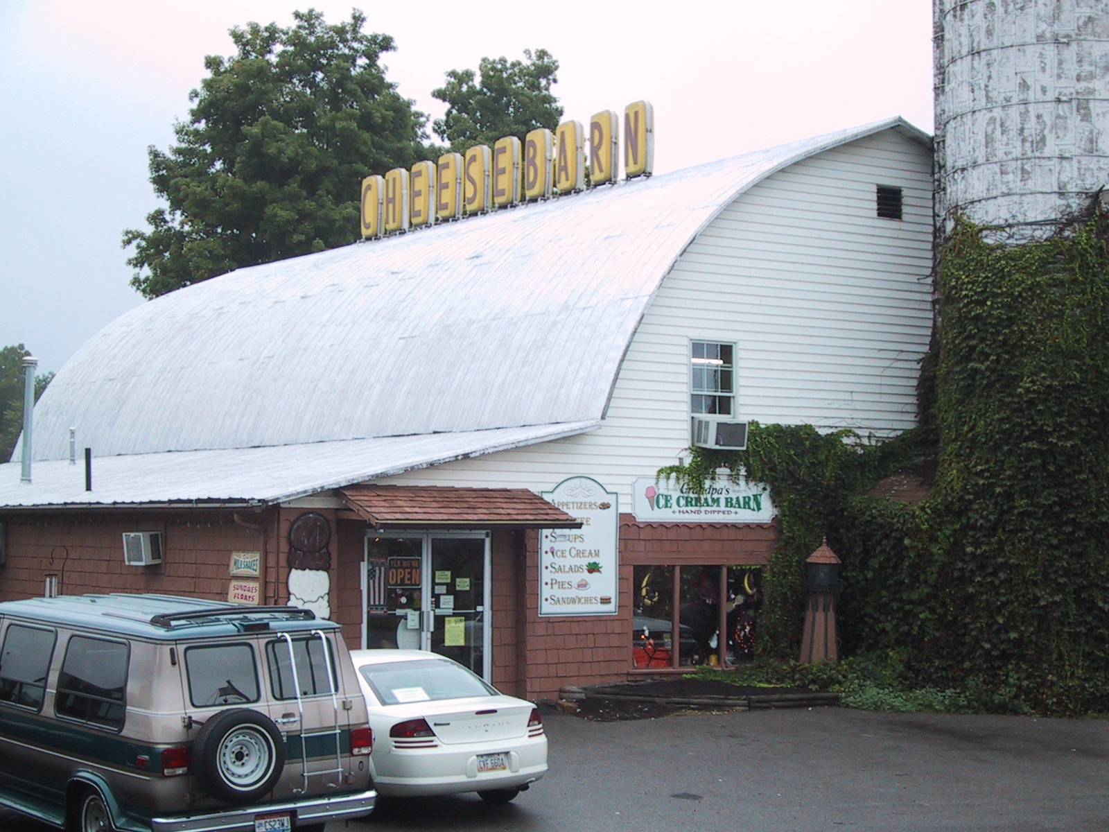
Cheesebarn Exterior 2

Home sweet home

Home sweet home
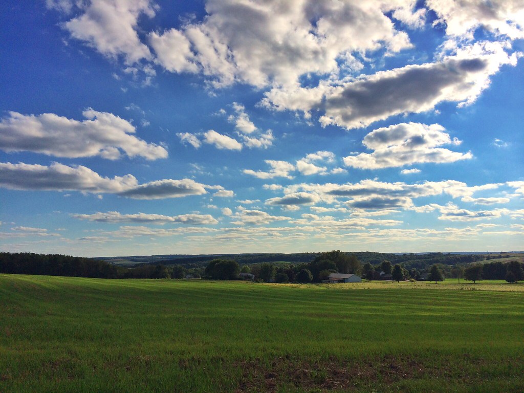
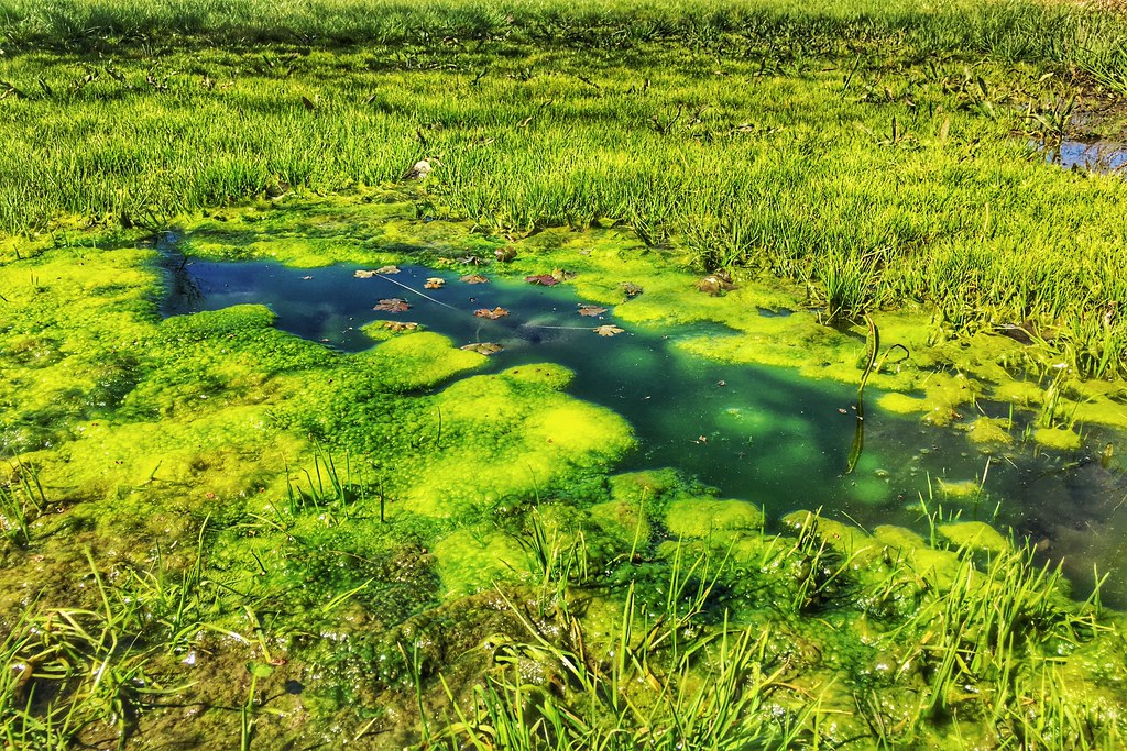
Bliss Scape (Explored)
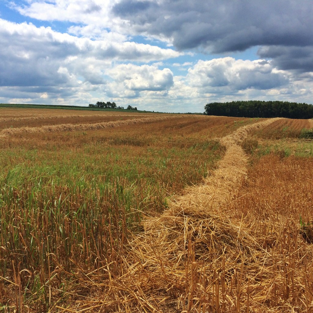
Hay Line Down the Field

Sunset Sky
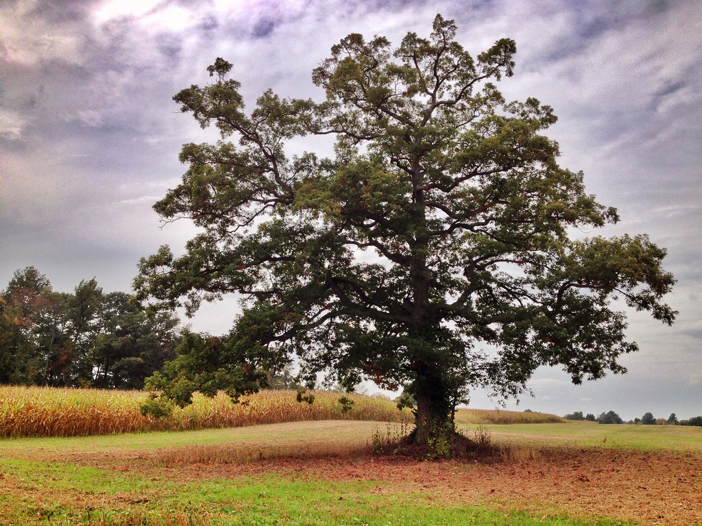
Magical Tree
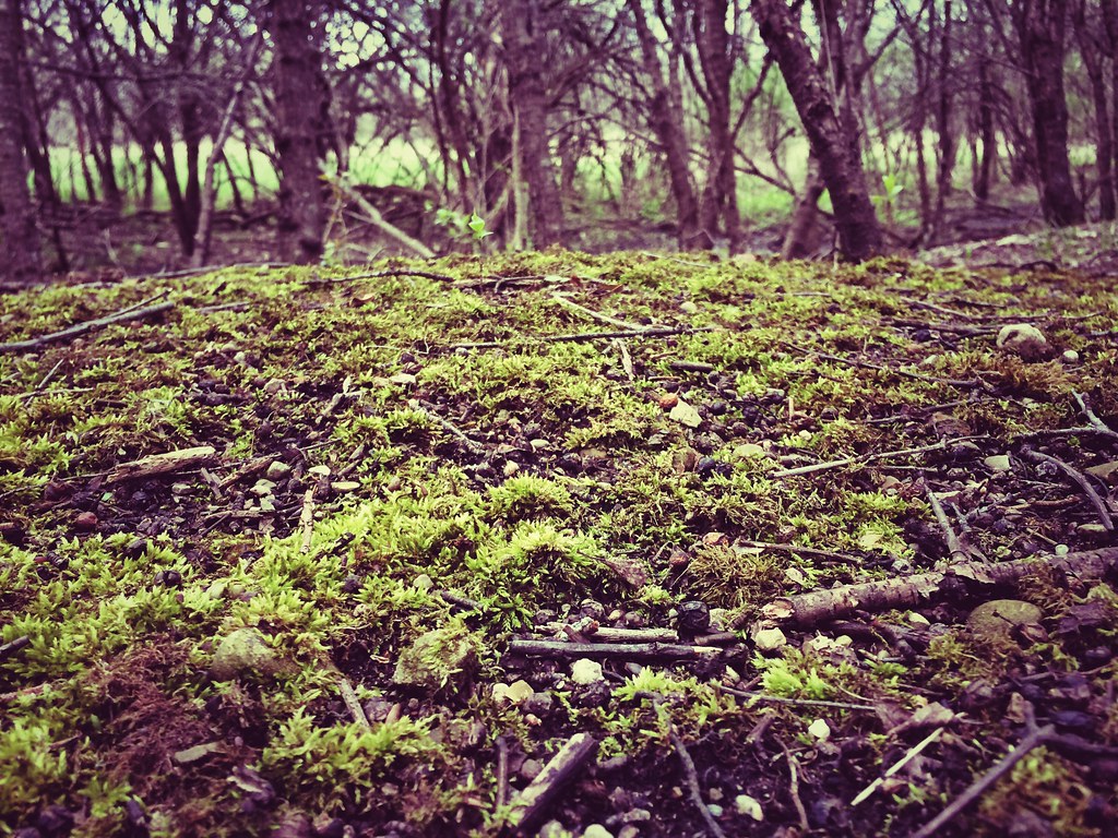
Mossy Forest
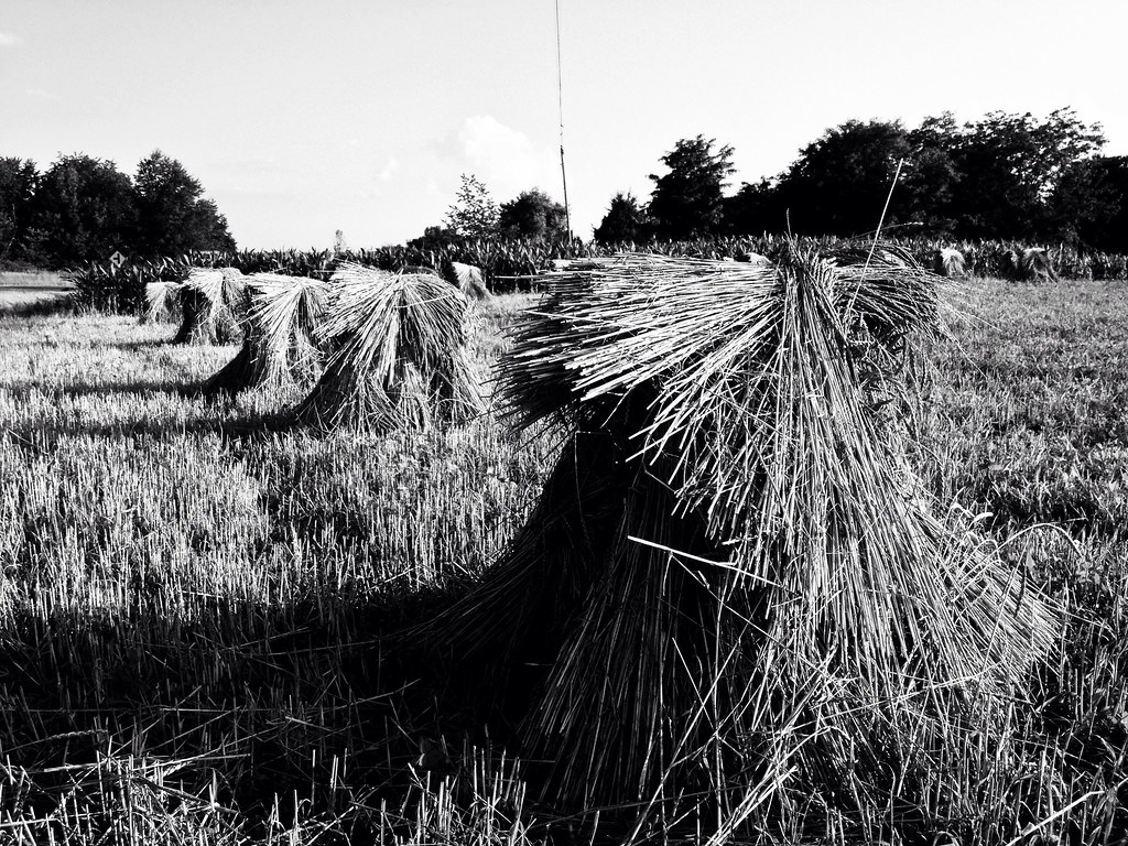
Amish Harvest

Dark Trees
img_1034.jpg
It's Not Easy Bein' Green

A River Runs Through It

Gently Down the Stream

Byers Woods - a nice place to walk the dogs

Lonely Ohio Road
UN Ashland County
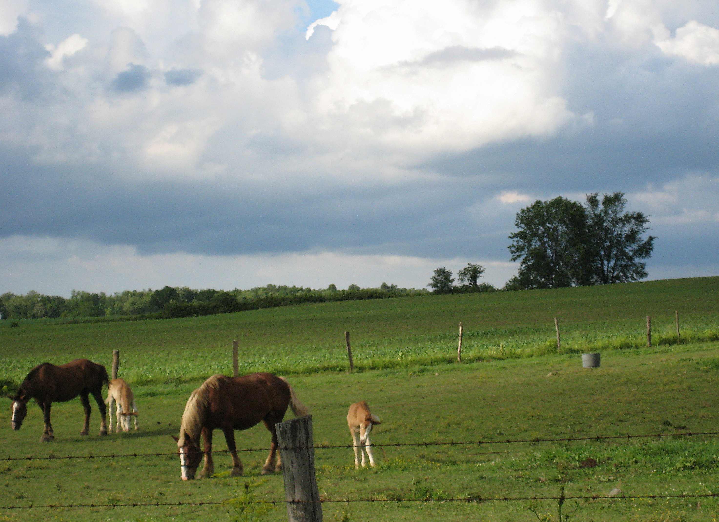
Amish Farm
8 Ashland County
photo(l8ax)
one in a million
I-71 is Boring

Tip-Toe Thru The Tulips 002
photo(69ue)
Topographic Map of Ashland, OH, USA
Find elevation by address:

Places in Ashland, OH, USA:
Cleveland Ave, Ashland, OH, USA
Ashland Co Rd, Ashland, OH, USA
OH-, Ashland, OH, USA
OH-, Ashland, OH, USA
Places near Ashland, OH, USA:
608 Grant St
Ashland University
Cleveland Ave, Ashland, OH, USA
1113 Township Rd 793
OH-, Ashland, OH, USA
1019 T R 1714
Ashland County
OH-, Ashland, OH, USA
US-42, Ashland, OH, USA
N Olivesburg Rd, Mansfield, OH, USA
Weller Township
Olivesburg Rd, Mansfield, OH, USA
1273 Melrose Dr
Madison Township
600 S Airport Rd
512 Annadale Ave
Mansfield Correctional Institute
357 Dean Rd
University Drive
2006 N Lexington-springmill Rd
Recent Searches:
- Elevation of Honghe National Nature Reserve, QP95+PJP, Tongjiang, Heilongjiang, Jiamusi, Heilongjiang, China
- Elevation of Hercules Dr, Colorado Springs, CO, USA
- Elevation of Szlak pieszy czarny, Poland
- Elevation of Griffing Blvd, Biscayne Park, FL, USA
- Elevation of Kreuzburger Weg 13, Düsseldorf, Germany
- Elevation of Gateway Blvd SE, Canton, OH, USA
- Elevation of East W.T. Harris Boulevard, E W.T. Harris Blvd, Charlotte, NC, USA
- Elevation of West Sugar Creek, Charlotte, NC, USA
- Elevation of Wayland, NY, USA
- Elevation of Steadfast Ct, Daphne, AL, USA