Elevation of Ashland University, College Ave, Ashland, OH, USA
Location: United States > Ohio > Ashland County > Ashland >
Longitude: -82.322581
Latitude: 40.8620193
Elevation: 350m / 1148feet
Barometric Pressure: 97KPa
Elevation Map:
Satellite Map:
Related Photos:

A view upon the city of Ashland, Ohio.

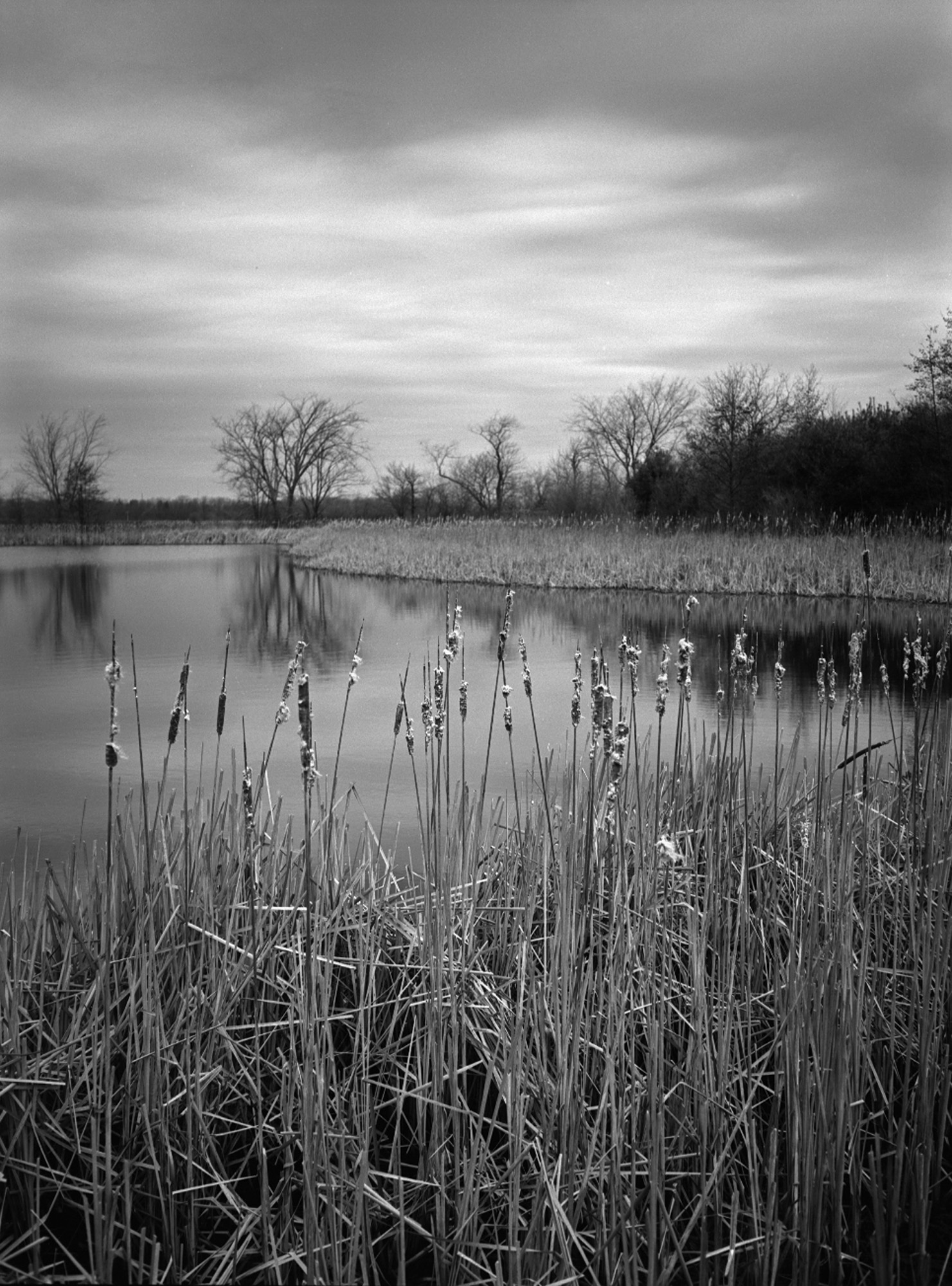
The creek named "Town Run" would be a quarter or less as exciting if it didn't have a city built up around it.
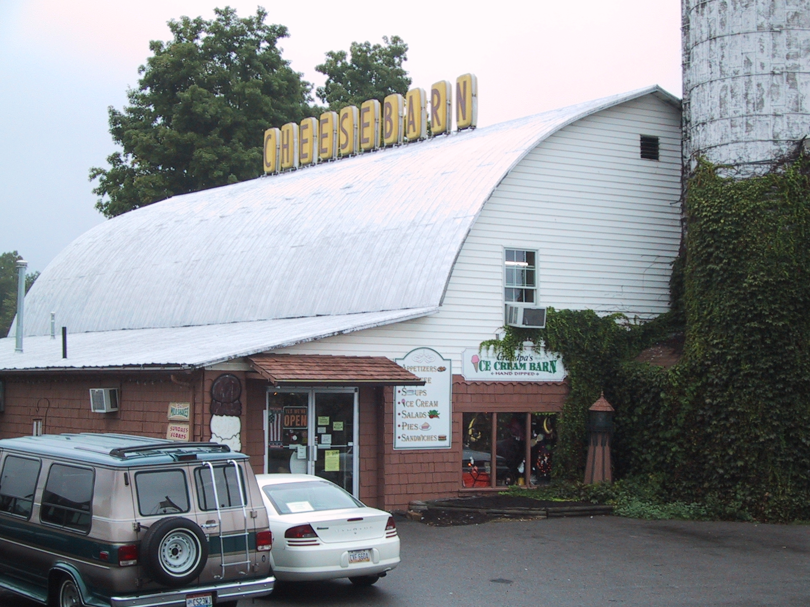
Cheesebarn Exterior 2

Anvil Cloud

Sunset Sky

June Sunrise

Bliss Scape (Explored)
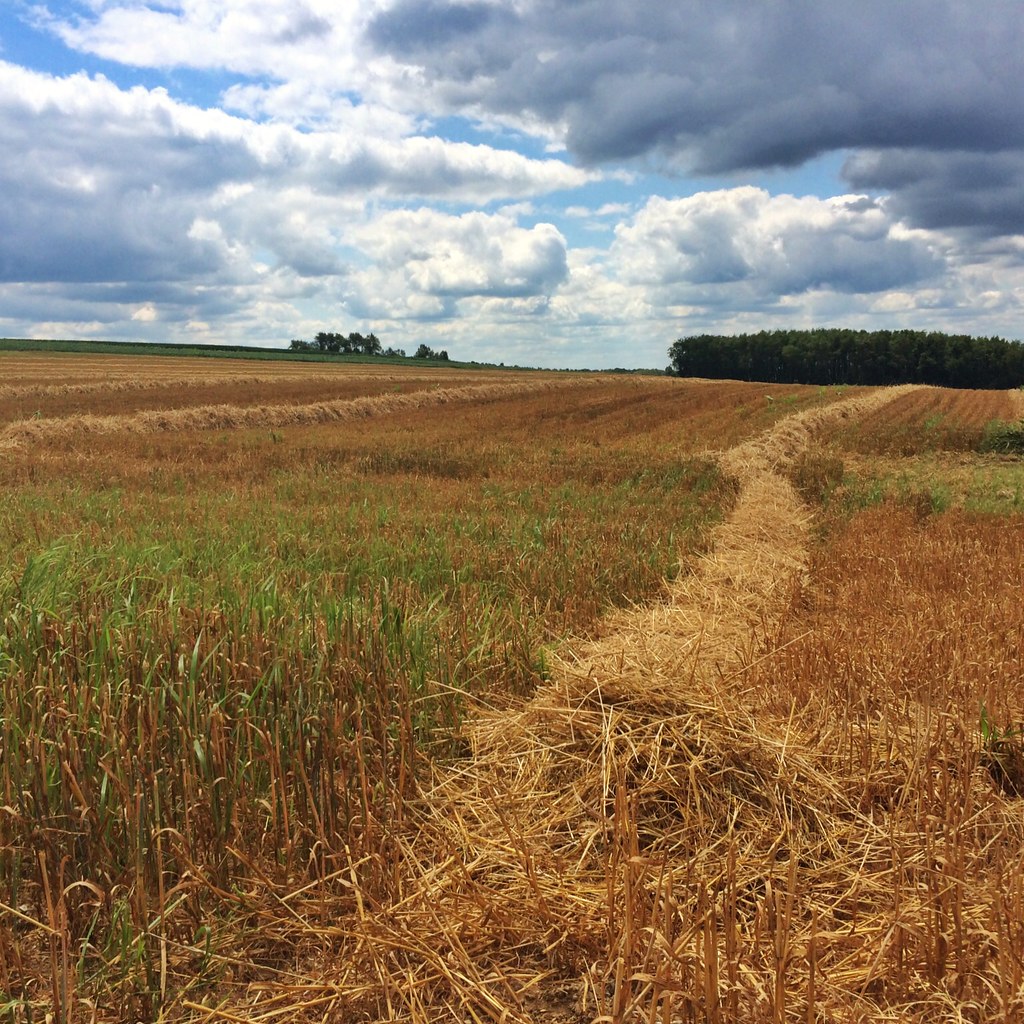
Hay Line Down the Field

Magical Tree

Mossy Forest

It's Not Easy Bein' Green

Amish Harvest

Dark Trees

A River Runs Through It

Lonely Ohio Road
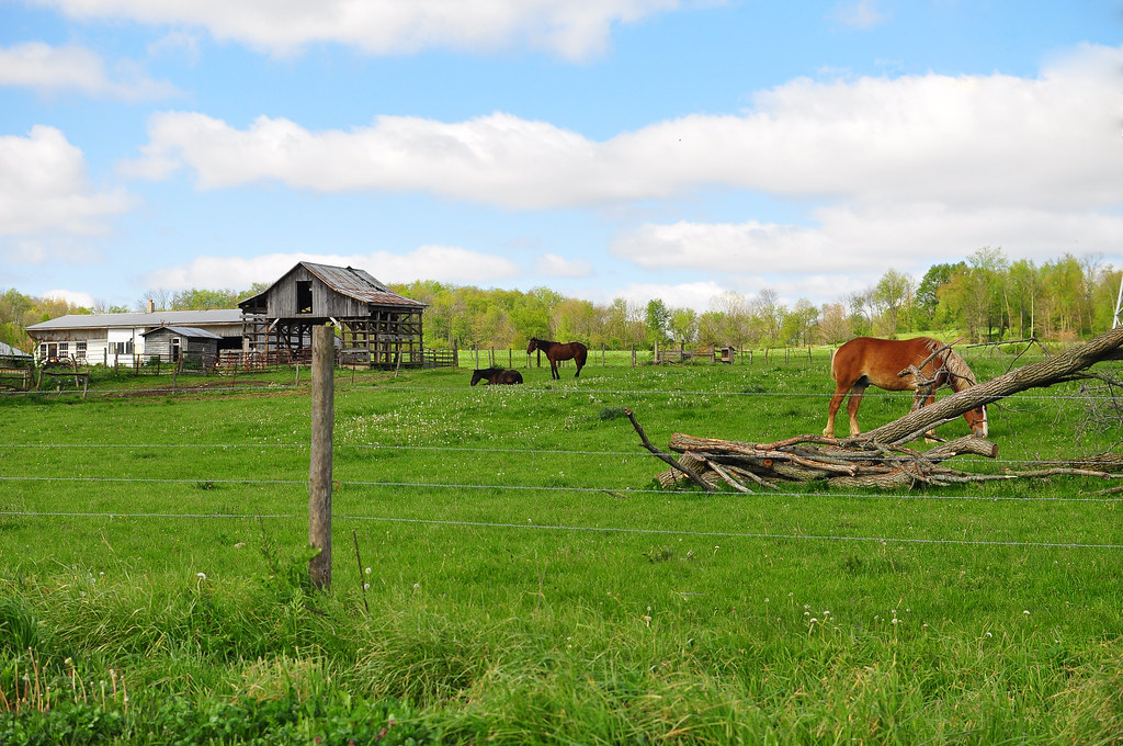
Amish Farm
Byers Woods - a nice place to walk the dogs

Clouds and Field

Railroad track

Amish ladder wagon

part the trees
End of the Road
Topographic Map of Ashland University, College Ave, Ashland, OH, USA
Find elevation by address:

Places near Ashland University, College Ave, Ashland, OH, USA:
608 Grant St
Ashland
Cleveland Ave, Ashland, OH, USA
1113 Township Rd 793
1019 T R 1714
OH-, Ashland, OH, USA
OH-, Ashland, OH, USA
US-42, Ashland, OH, USA
Ashland County
N Olivesburg Rd, Mansfield, OH, USA
Weller Township
Olivesburg Rd, Mansfield, OH, USA
1273 Melrose Dr
Madison Township
600 S Airport Rd
512 Annadale Ave
Mansfield Correctional Institute
357 Dean Rd
University Drive
2006 N Lexington-springmill Rd
Recent Searches:
- Elevation of 6 Rue Jules Ferry, Beausoleil, France
- Elevation of Sattva Horizon, 4JC6+G9P, Vinayak Nagar, Kattigenahalli, Bengaluru, Karnataka, India
- Elevation of Great Brook Sports, Gold Star Hwy, Groton, CT, USA
- Elevation of 10 Mountain Laurels Dr, Nashua, NH, USA
- Elevation of 16 Gilboa Ln, Nashua, NH, USA
- Elevation of Laurel Rd, Townsend, TN, USA
- Elevation of 3 Nestling Wood Dr, Long Valley, NJ, USA
- Elevation of Ilungu, Tanzania
- Elevation of Yellow Springs Road, Yellow Springs Rd, Chester Springs, PA, USA
- Elevation of Rēzekne Municipality, Latvia