Elevation of Jackson Township, OH, USA
Location: United States > Ohio > Ashland County >
Longitude: -82.193114
Latitude: 40.9563144
Elevation: 379m / 1243feet
Barometric Pressure: 97KPa
Elevation Map:
Satellite Map:
Related Photos:

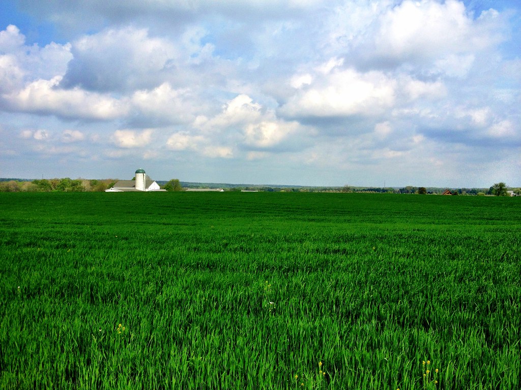
Country View
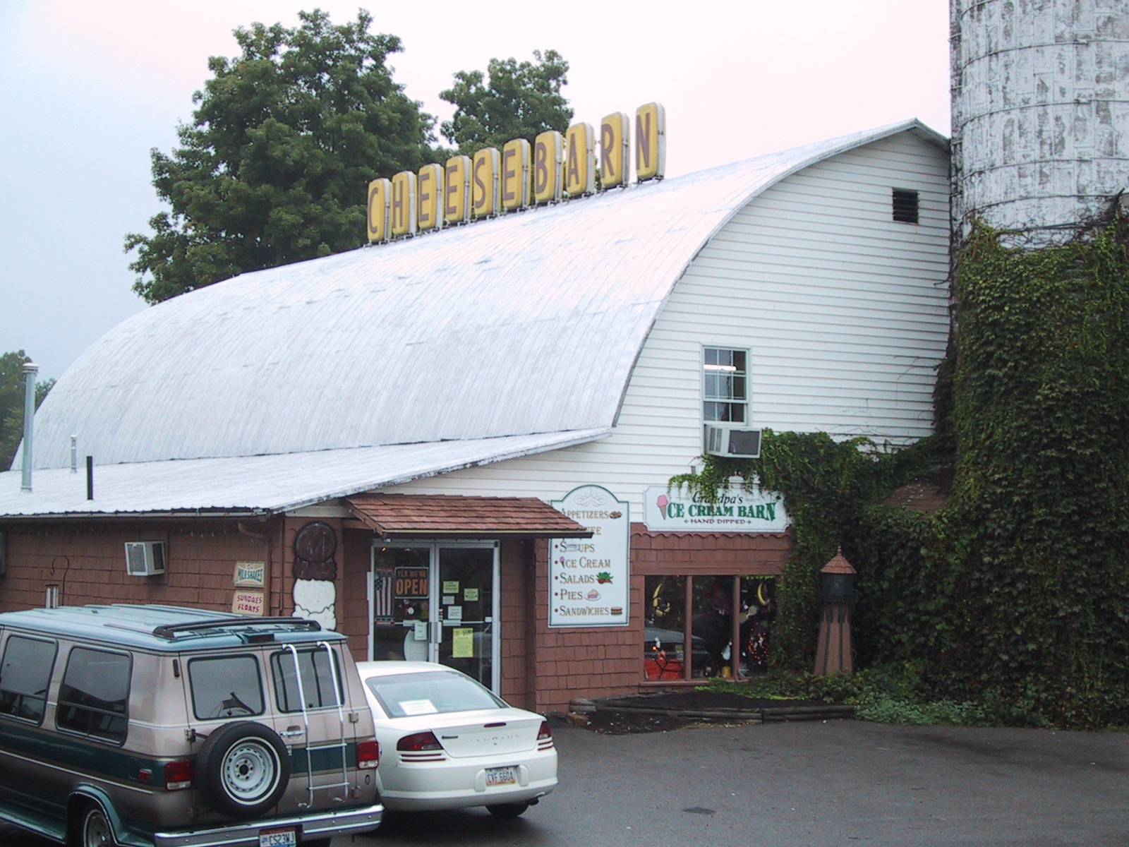
Cheesebarn Exterior 2

View into the Susaphone

Home sweet home

View from the Sports Sciences Building

Home sweet home

Home sweet home

Sunset Sky

Mossy Forest

Dark Trees

Black Skies

It's Not Easy Bein' Green

A River Runs Through It

An April Sunset
Good old ohio..

Lonely Ohio Road

#sunrise 10-23-14 #flickrsunrises #clouds

Amish Farm

I-71 is Boring

June Sunrise

Amish Harvest

UN Ashland County

Tip-Toe Thru The Tulips 002

photo(69ue)

Hay Stacks

Railroad track
photo(r6ig)

Miniature Halftime Band
Topographic Map of Jackson Township, OH, USA
Find elevation by address:

Places in Jackson Township, OH, USA:
Places near Jackson Township, OH, USA:
W Congress St, Polk, OH, USA
Polk
Ashland Co Rd, Polk, OH, USA
84 Co Rd 1100
1251 Oh-89
Perry Township
Easton Rd, Rittman, OH, USA
Elyria Rd, West Salem, OH, USA
4911 Camp Rd
Montgomery Township
Ashland Co Rd, Ashland, OH, USA
1573 Co Rd 1575
Congress Township
N Elyria Rd, Wooster, OH, USA
New Pittsburg
Jeromesville
20 N High St, Jeromesville, OH, USA
Chester Township
12029 Gearhart Rd
5728 Cedar Valley Rd
Recent Searches:
- Elevation of 7 Waterfall Way, Tomball, TX, USA
- Elevation of SW 57th Ave, Portland, OR, USA
- Elevation of Crocker Dr, Vacaville, CA, USA
- Elevation of Pu Ngaol Community Meeting Hall, HWHM+3X7, Krong Saen Monourom, Cambodia
- Elevation of Royal Ontario Museum, Queens Park, Toronto, ON M5S 2C6, Canada
- Elevation of Groblershoop, South Africa
- Elevation of Power Generation Enterprises | Industrial Diesel Generators, Oak Ave, Canyon Country, CA, USA
- Elevation of Chesaw Rd, Oroville, WA, USA
- Elevation of N, Mt Pleasant, UT, USA
- Elevation of 6 Rue Jules Ferry, Beausoleil, France