Elevation of AR-17, McCrory, AR, USA
Location: United States > Arkansas > Woodruff County > Cache Township >
Longitude: -91.240955
Latitude: 35.1513252
Elevation: 69m / 226feet
Barometric Pressure: 100KPa
Elevation Map:
Satellite Map:
Related Photos:
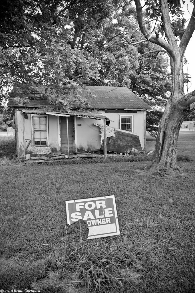
For Sale

UP SD70AH 8987

Our garden bed

New shop

New Ridgid miter saw stand

New Ridgid miter saw stand

Old kitchen new kitchen
Laying tile fun fun

Laying tile fun fun
My New Truck
My New Truck

Wedding Shower

Wedding Shower
New Ridgid miter saw stand
Topographic Map of AR-17, McCrory, AR, USA
Find elevation by address:

Places near AR-17, McCrory, AR, USA:
Cache Township
Woodruff County
15216 Ar-269
Franks Township
32 US 49, McCrory, AR, USA
US 49, Brinkley, AR, USA
US 49, Brinkley, AR, USA
Fargo
Greenfield Township
Wheatley Township
Brinkley
N Main St, Brinkley, AR, USA
Memphis Ave, Widener, AR, USA
Wheatley
Brinkley Township
Goodwin Township
Chesser Road
Fleener Township
2527 Sfc 130
AR-, Palestine, AR, USA
Recent Searches:
- Elevation of Bydgoszcz, Poland
- Elevation of Bydgoszcz, Poland
- Elevation of Calais Dr, Del Mar, CA, USA
- Elevation of Placer Mine Ln, West Jordan, UT, USA
- Elevation of E 63rd St, New York, NY, USA
- Elevation of Elk City, OK, USA
- Elevation of Erika Dr, Windsor, CA, USA
- Elevation of Village Ln, Finleyville, PA, USA
- Elevation of 24 Oakland Rd #, Scotland, ON N0E 1R0, Canada
- Elevation of Deep Gap Farm Rd E, Mill Spring, NC, USA