Elevation of Woodruff County, AR, USA
Location: United States > Arkansas >
Longitude: -91.135302
Latitude: 35.1215846
Elevation: 61m / 200feet
Barometric Pressure: 101KPa
Elevation Map:
Satellite Map:
Related Photos:
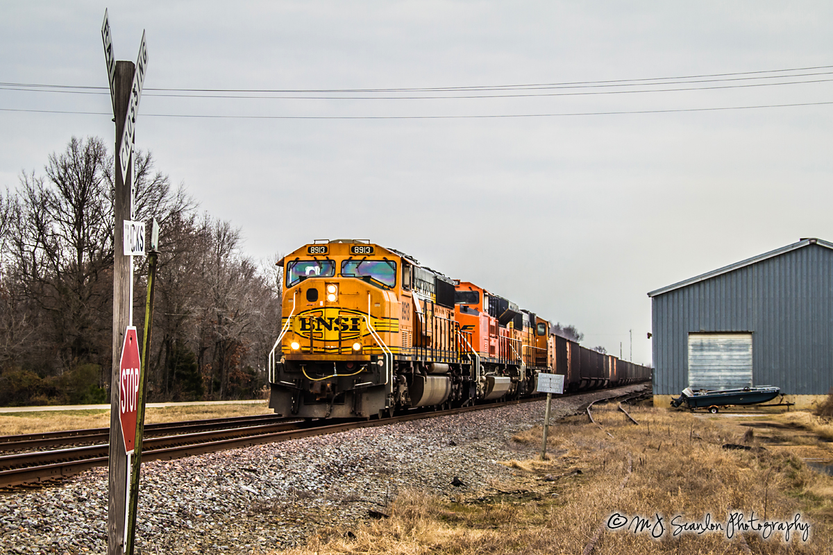
BNSF 8913 - EMD SD70MAC - UP Jonesboro Subdivision
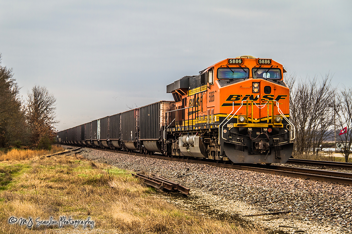
BNSF 5886 - GE ES44AC - UP Jonesboro Subdivision
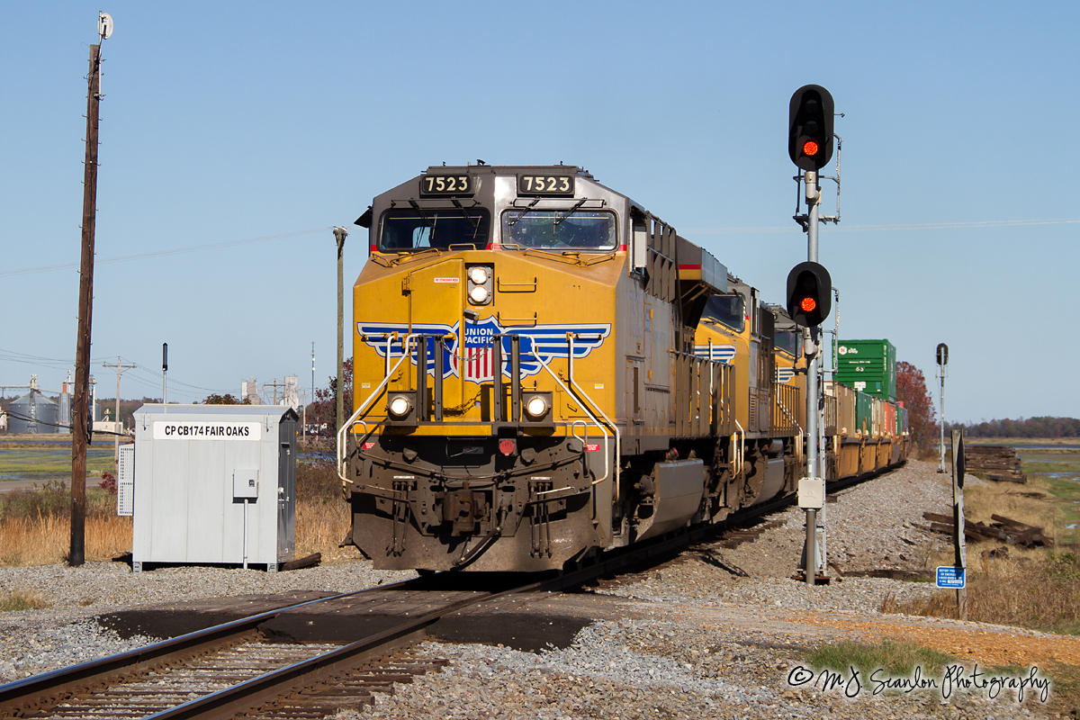
UP 7523 - ES44AC - UP Jonesboro Subdivision

UP SD70AH 8987

UP Train ZDUMQ-26
2014-01-26_08-2
Topographic Map of Woodruff County, AR, USA
Find elevation by address:

Places in Woodruff County, AR, USA:
Places near Woodruff County, AR, USA:
15216 Ar-269
Franks Township
32 US 49, McCrory, AR, USA
Cache Township
AR-17, McCrory, AR, USA
US 49, Brinkley, AR, USA
Wheatley Township
Greenfield Township
US 49, Brinkley, AR, USA
Fargo
Goodwin Township
Memphis Ave, Widener, AR, USA
Wheatley
Brinkley
N Main St, Brinkley, AR, USA
2527 Sfc 130
Fleener Township
Brinkley Township
AR-, Palestine, AR, USA
Old Military Rd W, Colt, AR, USA
Recent Searches:
- Elevation of Corso Fratelli Cairoli, 35, Macerata MC, Italy
- Elevation of Tallevast Rd, Sarasota, FL, USA
- Elevation of 4th St E, Sonoma, CA, USA
- Elevation of Black Hollow Rd, Pennsdale, PA, USA
- Elevation of Oakland Ave, Williamsport, PA, USA
- Elevation of Pedrógão Grande, Portugal
- Elevation of Klee Dr, Martinsburg, WV, USA
- Elevation of Via Roma, Pieranica CR, Italy
- Elevation of Tavkvetili Mountain, Georgia
- Elevation of Hartfords Bluff Cir, Mt Pleasant, SC, USA