Elevation of Fleener Township, AR, USA
Location: United States > Arkansas > Lee County >
Longitude: -91.039463
Latitude: 34.8800629
Elevation: 61m / 200feet
Barometric Pressure: 101KPa
Elevation Map:
Satellite Map:
Related Photos:

Wheatley Stuckeys- Side View

Flat Fork Creek-Side View
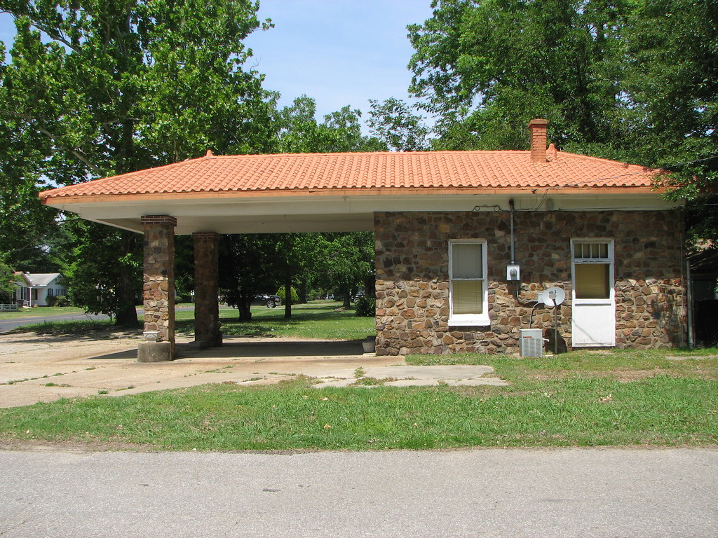
Brinkley Station-Side View
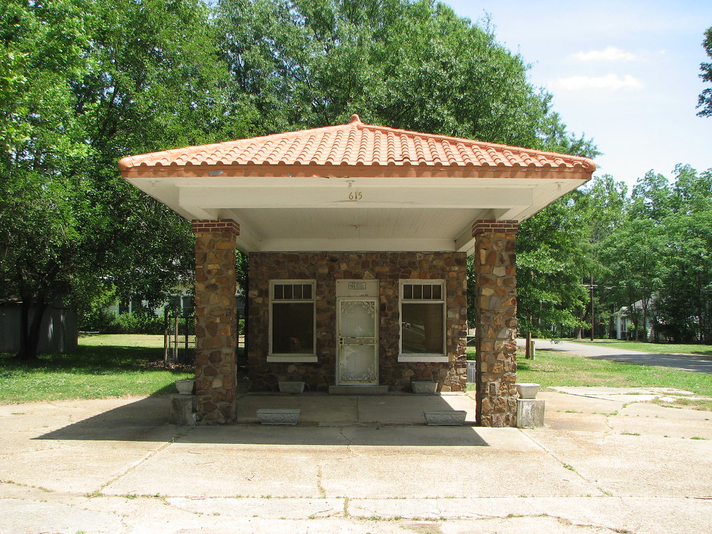
Brinkley Station-Front

On the road!

I-40 closed near Brinkley, AR

Truck_11412-306.jpg

Arkansas Rice paddy

Truck_11412-301.jpg
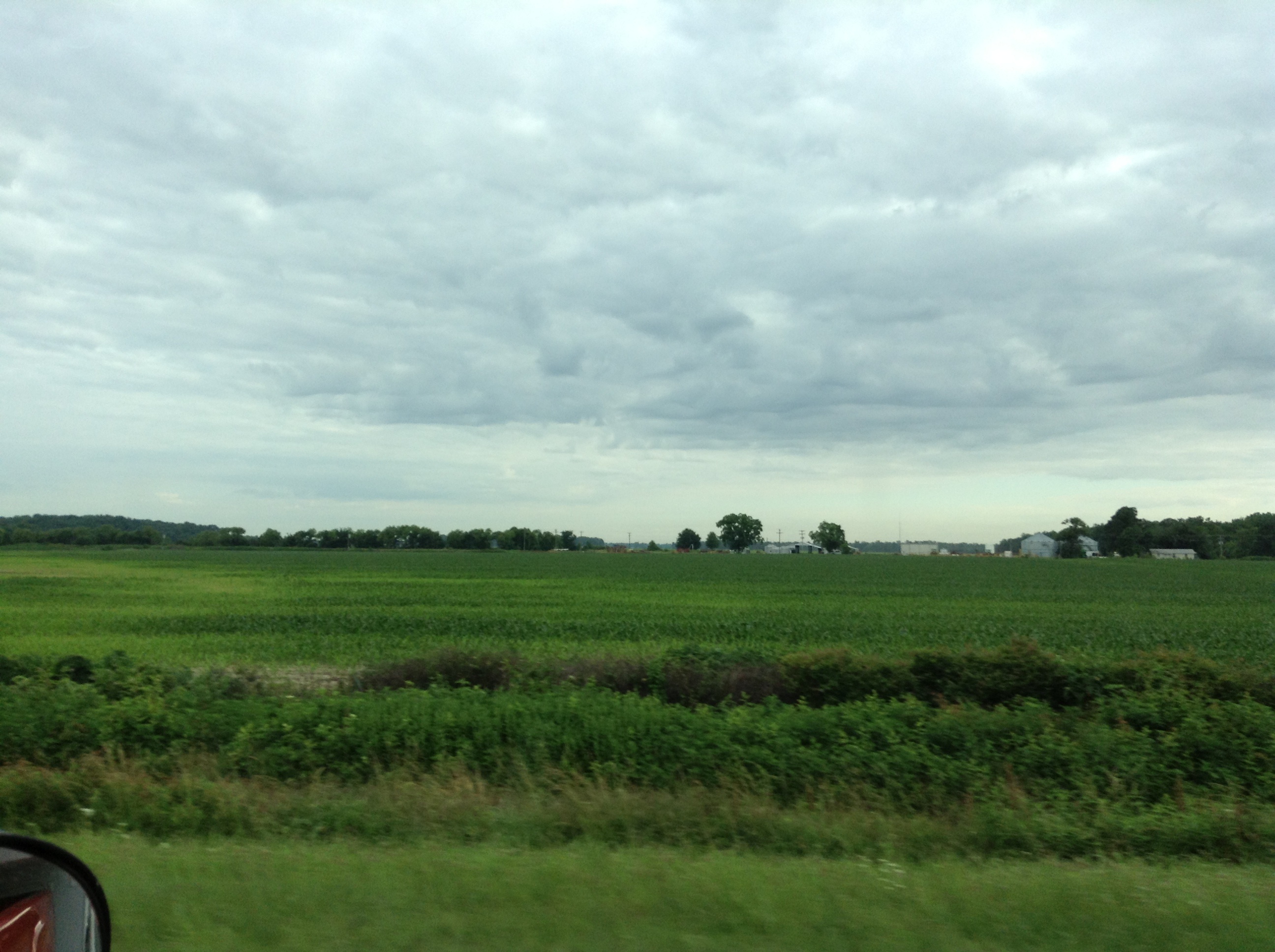
Arkansas Corn field
2010-11-27 12.09.36

Breaktime #falcontransport #roadtoadphoto #internationaltrucks
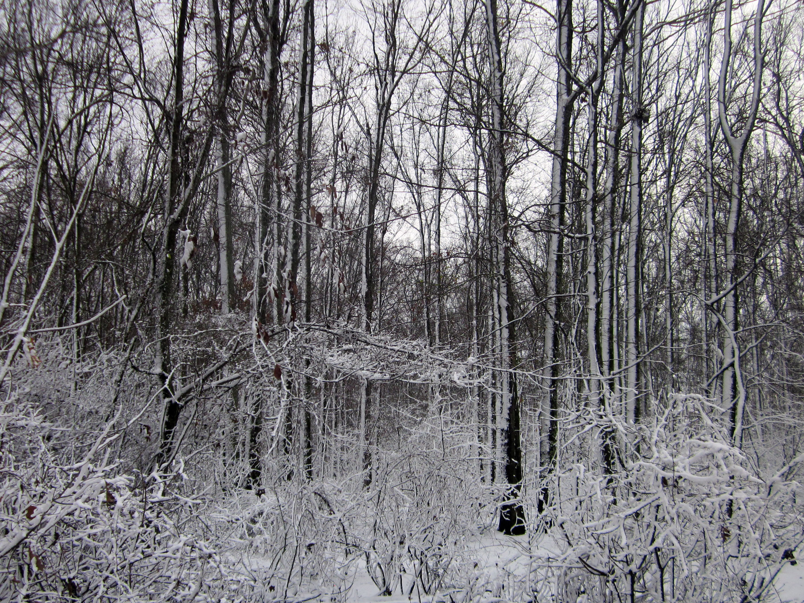
Just Winter
Topographic Map of Fleener Township, AR, USA
Find elevation by address:

Places in Fleener Township, AR, USA:
Places near Fleener Township, AR, USA:
AR-, Palestine, AR, USA
AR-, Moro, AR, USA
Wheatley
Memphis Ave, Widener, AR, USA
Goodwin Township
2527 Sfc 130
Wheatley Township
Greenfield Township
Brinkley
N Main St, Brinkley, AR, USA
Fargo
US 49, Brinkley, AR, USA
US 49, Brinkley, AR, USA
Brinkley Township
US-70, Forrest City, AR, USA
Aubrey
Church, Marianna, AR, USA
Hindman Township
Scott Rd, Holly Grove, AR, USA
Spring Creek Township
Recent Searches:
- Elevation of Calais Dr, Del Mar, CA, USA
- Elevation of Placer Mine Ln, West Jordan, UT, USA
- Elevation of E 63rd St, New York, NY, USA
- Elevation of Elk City, OK, USA
- Elevation of Erika Dr, Windsor, CA, USA
- Elevation of Village Ln, Finleyville, PA, USA
- Elevation of 24 Oakland Rd #, Scotland, ON N0E 1R0, Canada
- Elevation of Deep Gap Farm Rd E, Mill Spring, NC, USA
- Elevation of Dog Leg Dr, Minden, NV, USA
- Elevation of Dog Leg Dr, Minden, NV, USA