Elevation of Antelope Wells, NM, USA
Location: United States > New Mexico >
Longitude: -108.50892
Latitude: 31.3489983
Elevation: -10000m / -32808feet
Barometric Pressure: 295KPa
Elevation Map:
Satellite Map:
Related Photos:

I made it!

End of the road
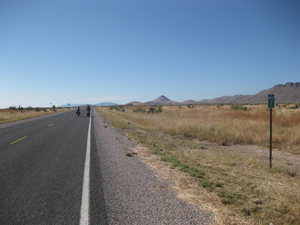
7 miles left...

Camera Roll-394

And here, we shall begin.

4 miles left...

6 miles left...

DSC_1146a.jpg

DSC_1134a.jpg

DSC_1119a.jpg

DSC_1091a.jpg
Topographic Map of Antelope Wells, NM, USA
Find elevation by address:

Places near Antelope Wells, NM, USA:
Animas Mountains Hp
Gillespie Mountain
Cloverdale
Hidalgo County
Gray Mountain
Animas
Hideout Ranch
Rodeo
E Highway 80, San Simon, AZ, USA
390 Sulphur Canyon Rd
68 W Shangri La Ln
NM-, Animas, NM, USA
838 Portal Rd
1185 W Prickly Pear Ln
Portal
2095 S Milky Way
S Rock House Rd, Portal, AZ, USA
2372 S Cathedral Rock Rd
Cave Creek Canyon
Silver Peak
Recent Searches:
- Elevation of Bydgoszcz, Poland
- Elevation of Bydgoszcz, Poland
- Elevation of Calais Dr, Del Mar, CA, USA
- Elevation of Placer Mine Ln, West Jordan, UT, USA
- Elevation of E 63rd St, New York, NY, USA
- Elevation of Elk City, OK, USA
- Elevation of Erika Dr, Windsor, CA, USA
- Elevation of Village Ln, Finleyville, PA, USA
- Elevation of 24 Oakland Rd #, Scotland, ON N0E 1R0, Canada
- Elevation of Deep Gap Farm Rd E, Mill Spring, NC, USA