Elevation of E Highway 80, San Simon, AZ, USA
Location: United States > Arizona > Cochise County > San Simon >
Longitude: -109.18144
Latitude: 31.627142
Elevation: 1396m / 4580feet
Barometric Pressure: 86KPa
Elevation Map:
Satellite Map:
Related Photos:
AZ-80 (3154)
San Simon Valley, AZ

Ghost in the Grasslands
the pasture

lonely revisited

Shahia faj,y
Geronimo Surrender Monument, Apache, AZ

Geronimo Surrender Monument, Apache, AZ

San Simon Valley, AZ
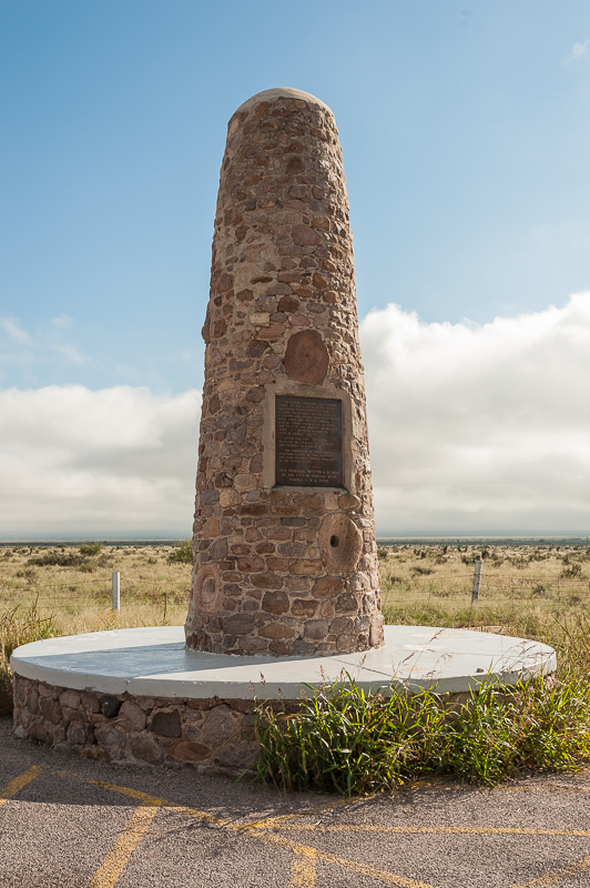
Geronimo Surrender Memorial, Apache, AZ

Scaled Quail
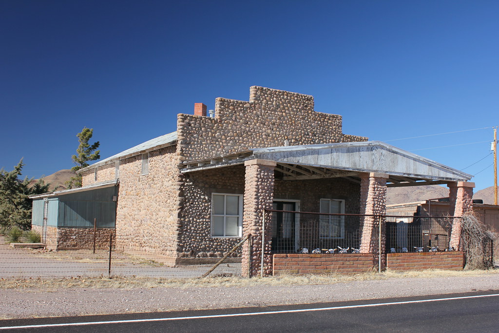
Gas Station and Store - Apache, AZ
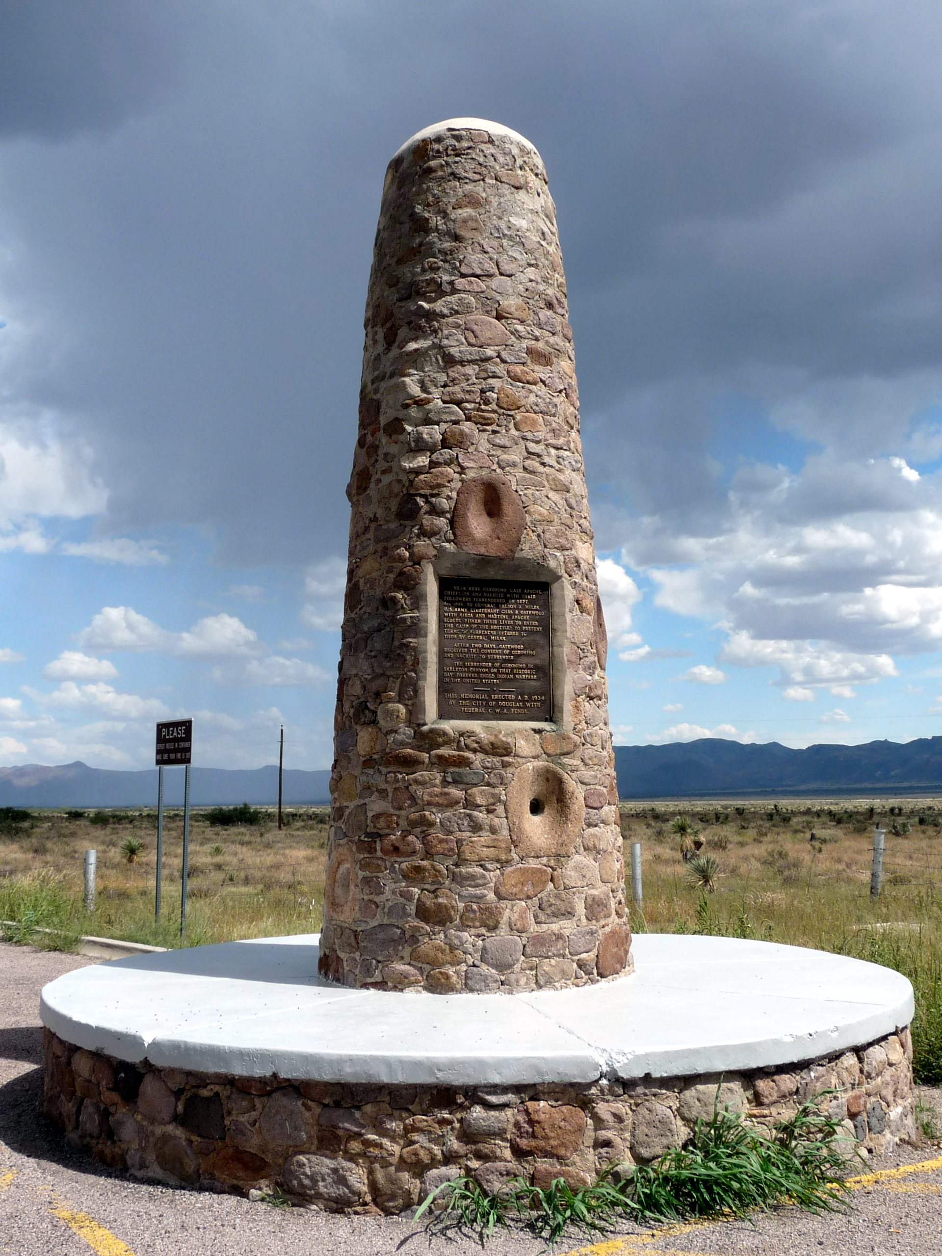
0357 Arizona, SH80, Apache, Near Skeleton Canyon, Geronimo Surrender Monument
Topographic Map of E Highway 80, San Simon, AZ, USA
Find elevation by address:

Places near E Highway 80, San Simon, AZ, USA:
Hideout Ranch
390 Sulphur Canyon Rd
Hunt Canyon Rd, Arizona, USA
Chiricahua Peak
4543 E Circle H Ranch Rd
7662 N Pedregosa Rd
Rodeo
Flys Peak
Cave Creek Canyon
AZ-80, Douglas, AZ, USA
7378 N College Peak Rd
Silver Peak
2372 S Cathedral Rock Rd
S Rock House Rd, Portal, AZ, USA
Portal
N Rucker Canyon Rd, Elfrida, AZ, USA
1185 W Prickly Pear Ln
13187 E Turkey Creek Rd
838 Portal Rd
Paradise
Recent Searches:
- Elevation of Corso Fratelli Cairoli, 35, Macerata MC, Italy
- Elevation of Tallevast Rd, Sarasota, FL, USA
- Elevation of 4th St E, Sonoma, CA, USA
- Elevation of Black Hollow Rd, Pennsdale, PA, USA
- Elevation of Oakland Ave, Williamsport, PA, USA
- Elevation of Pedrógão Grande, Portugal
- Elevation of Klee Dr, Martinsburg, WV, USA
- Elevation of Via Roma, Pieranica CR, Italy
- Elevation of Tavkvetili Mountain, Georgia
- Elevation of Hartfords Bluff Cir, Mt Pleasant, SC, USA