Elevation of Animas, NM, USA
Location: United States > New Mexico >
Longitude: -108.80670
Latitude: 31.9496748
Elevation: 1342m / 4403feet
Barometric Pressure: 86KPa
Elevation Map:
Satellite Map:
Related Photos:
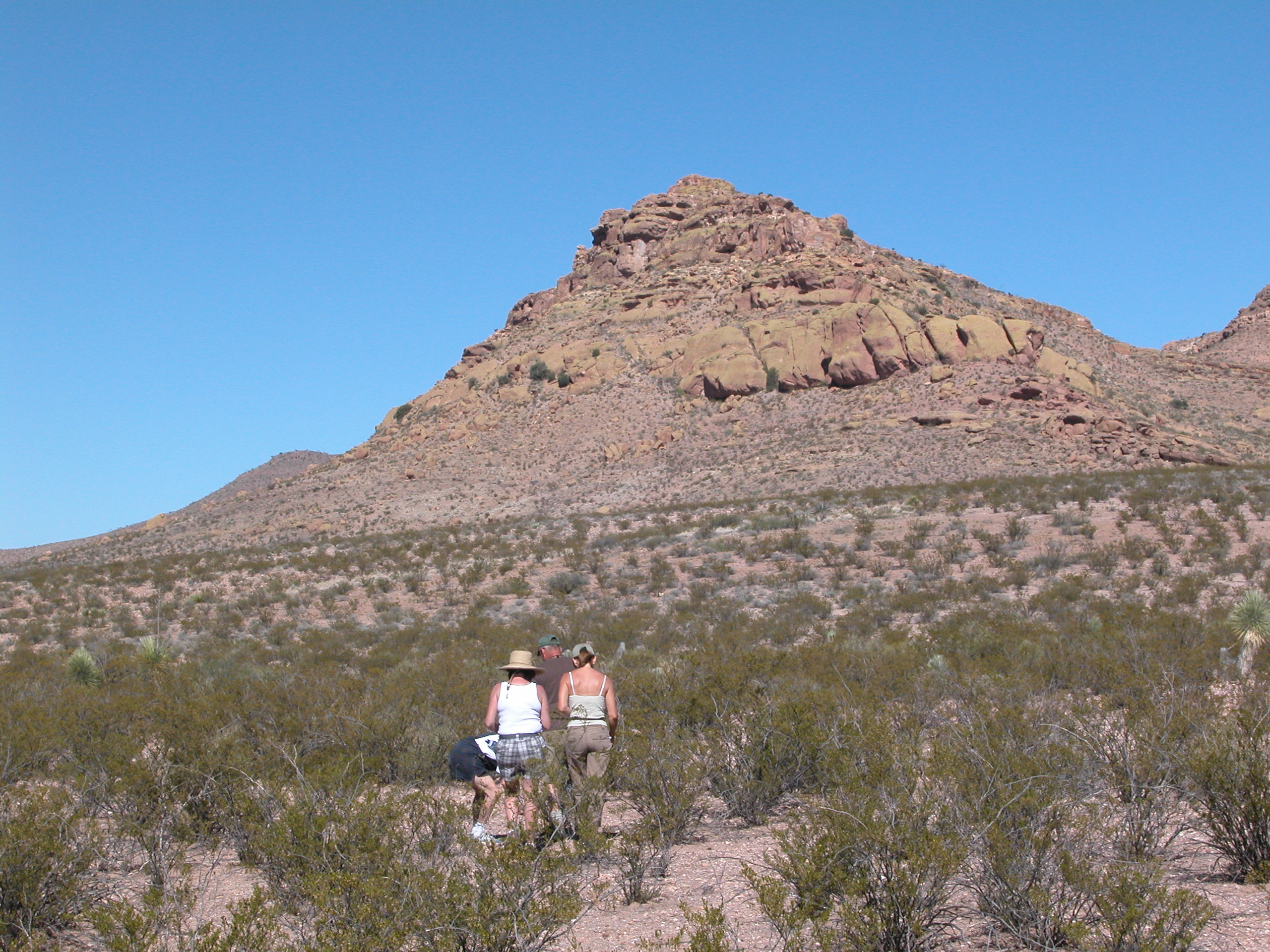
Oct1609-AZ (19)
Das sees East
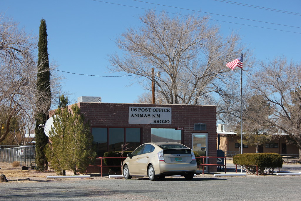
Post Office - Animas, NM
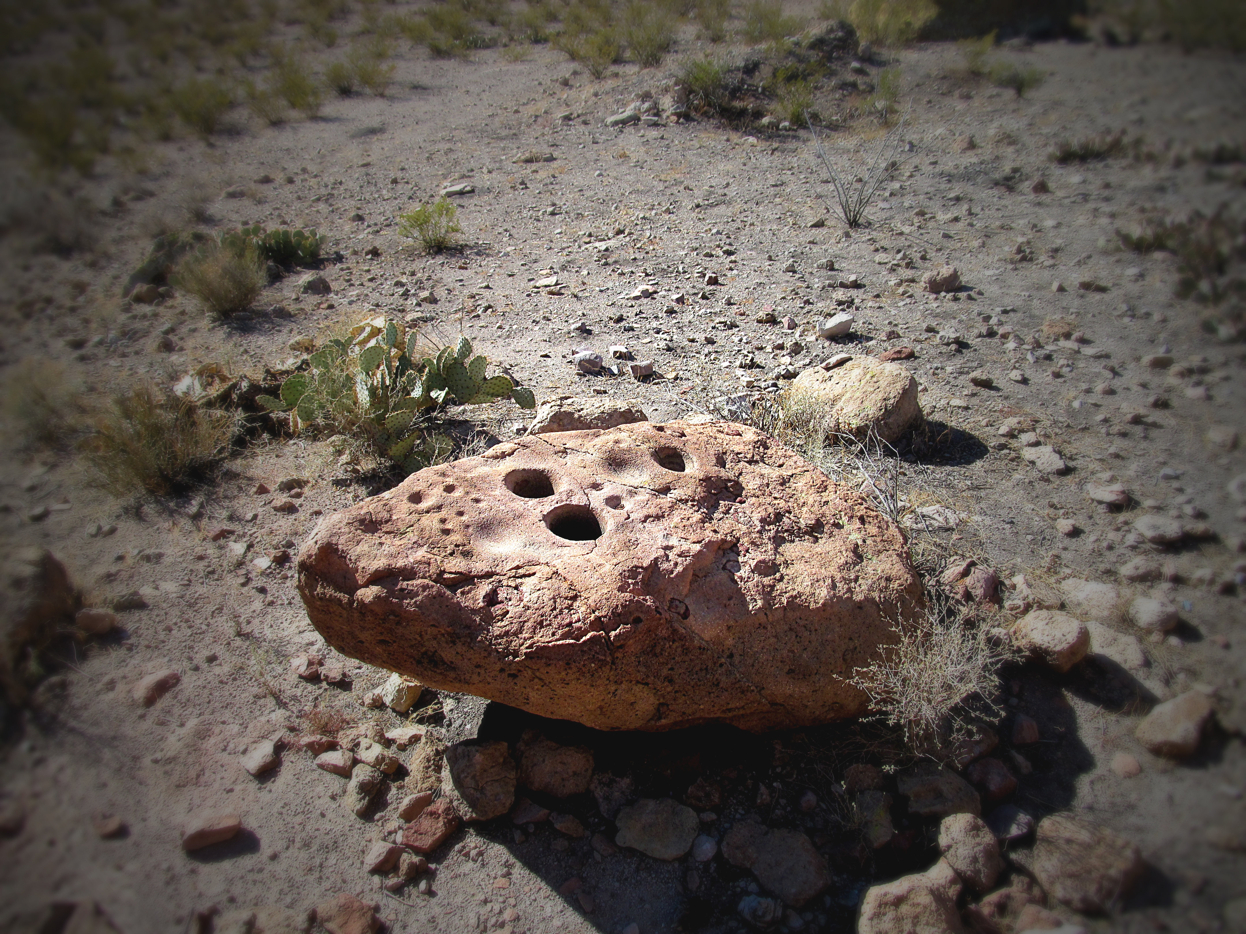
Ginding Holes in Antelope Pass

"Speed limit 55 [mph]" road sign along New Mexico State Road 9 just west of Animas
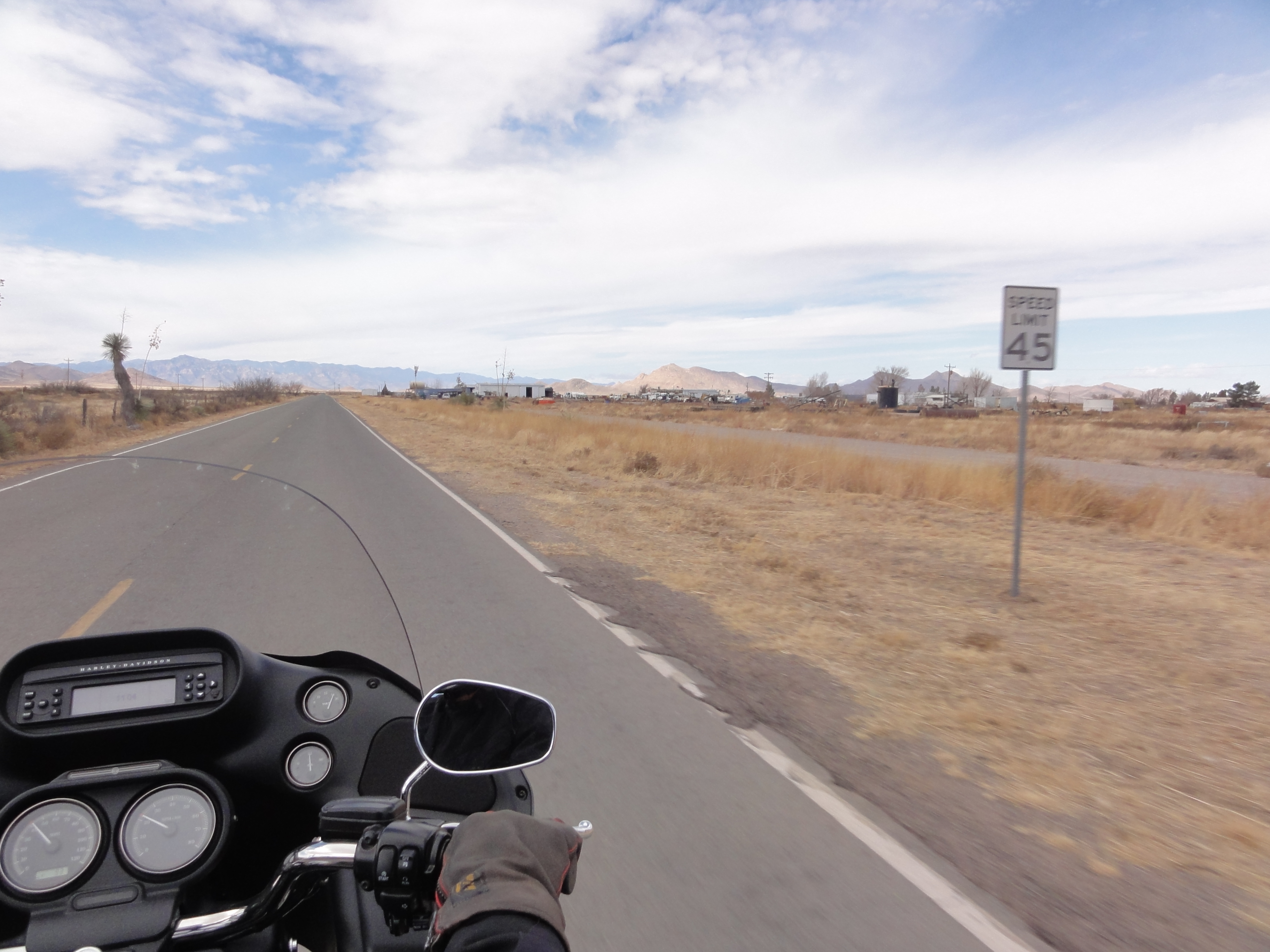
"Speed limit 45 [mph]" road sign along New Mexico State Road 9 heading west out of Animas
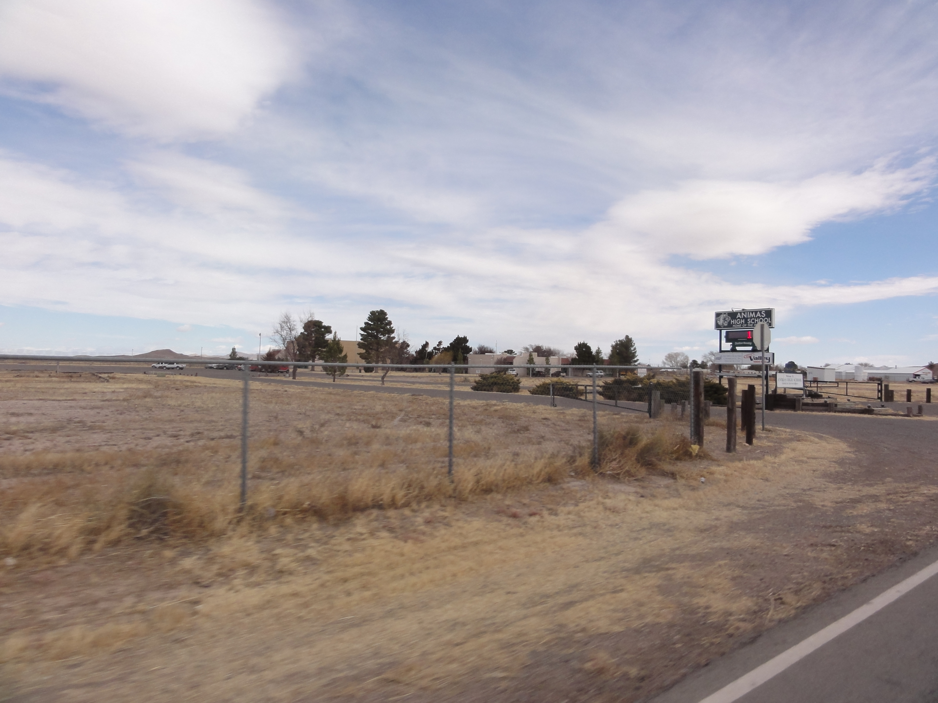
Animas High School in Animas, New Mexico
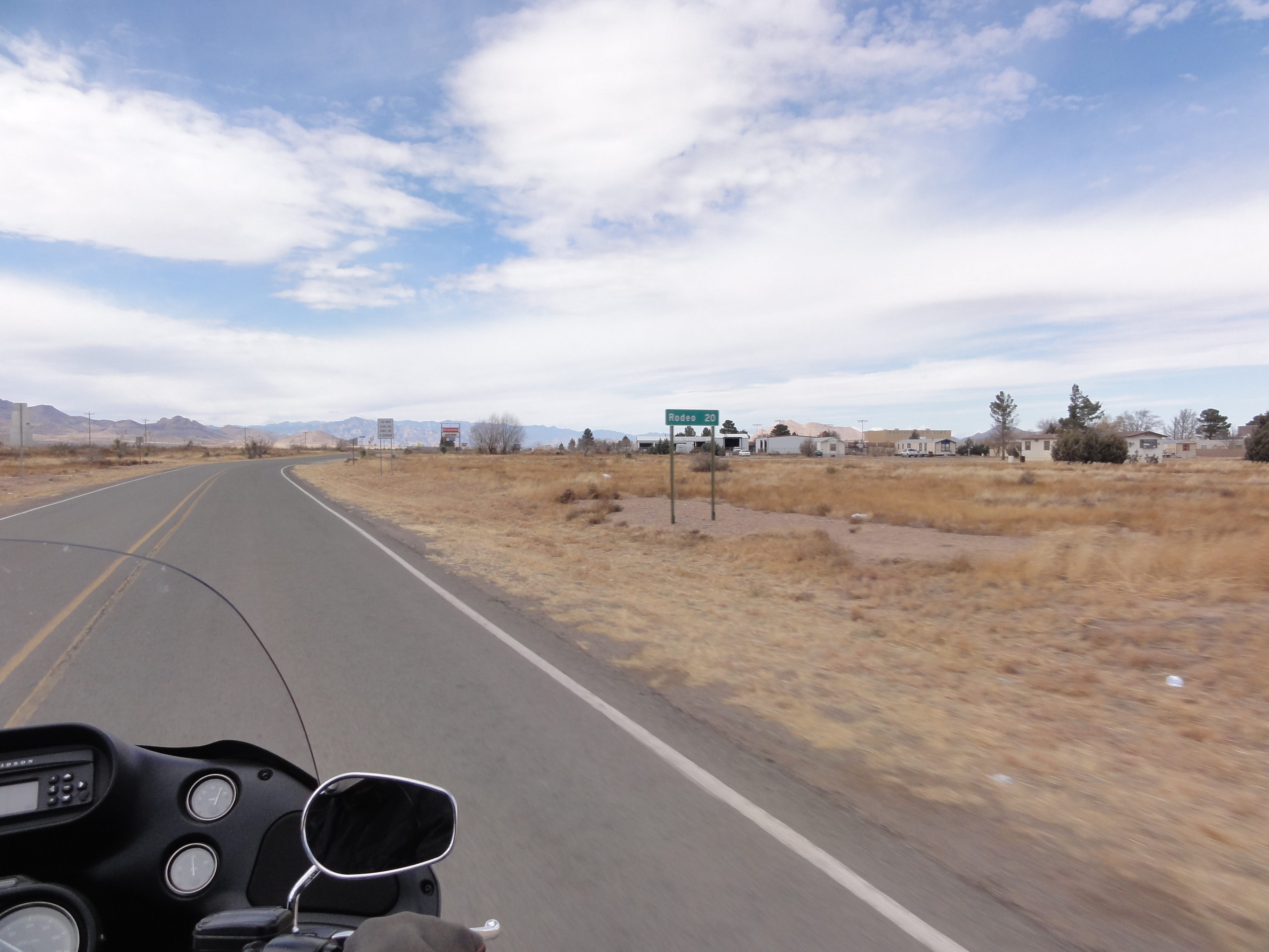
Rodeo (New Mexico) - 20 miles
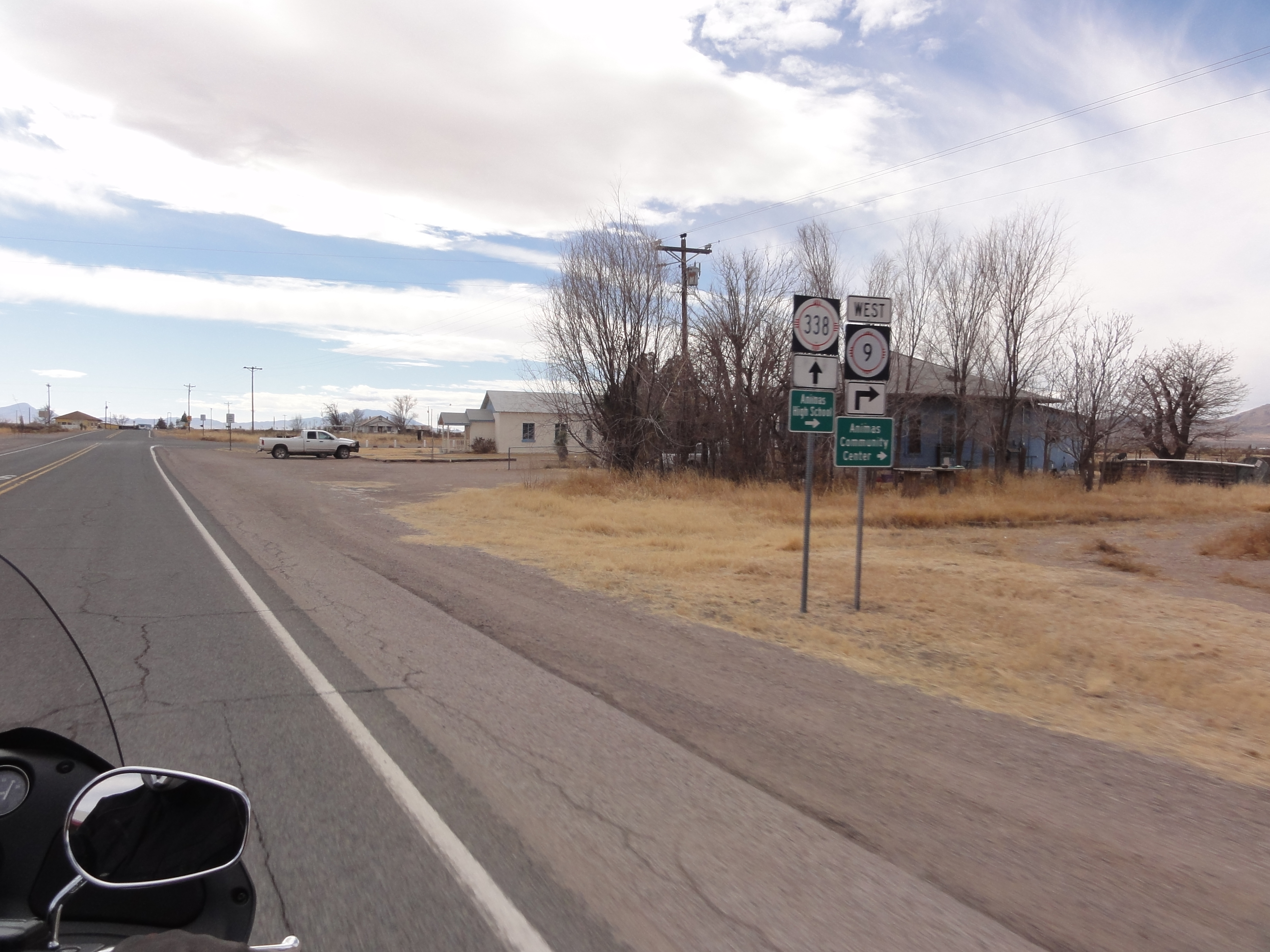
Road signs for New Mexico State Roads 338 and 9 along the State Road 338/9 concurrency in Animas; includes signs for "Animas High School" and "Animas Community Center" (to the right)
Topographic Map of Animas, NM, USA
Find elevation by address:

Places in Animas, NM, USA:
Gray Mountain
Gillespie Mountain
Animas Mountains Hp
Blue Mountain
NM-, Animas, NM, USA
San Simon Cienega
Places near Animas, NM, USA:
Hidalgo County
Gray Mountain
NM-, Animas, NM, USA
Blue Mountain
68 W Shangri La Ln
Rodeo
San Simon Cienega
Hideout Ranch
390 Sulphur Canyon Rd
838 Portal Rd
Gillespie Mountain
2095 S Milky Way
1185 W Prickly Pear Ln
Portal
S Rock House Rd, Portal, AZ, USA
2372 S Cathedral Rock Rd
Cave Creek Canyon
Animas Mountains Hp
Silver Peak
S Timberline Dr, San Simon, AZ, USA
Recent Searches:
- Elevation of Corso Fratelli Cairoli, 35, Macerata MC, Italy
- Elevation of Tallevast Rd, Sarasota, FL, USA
- Elevation of 4th St E, Sonoma, CA, USA
- Elevation of Black Hollow Rd, Pennsdale, PA, USA
- Elevation of Oakland Ave, Williamsport, PA, USA
- Elevation of Pedrógão Grande, Portugal
- Elevation of Klee Dr, Martinsburg, WV, USA
- Elevation of Via Roma, Pieranica CR, Italy
- Elevation of Tavkvetili Mountain, Georgia
- Elevation of Hartfords Bluff Cir, Mt Pleasant, SC, USA