Elevation map of Alaska, USA
Location: United States >
Longitude: -149.49367
Latitude: 64.2008413
Elevation: 356m / 1168feet
Barometric Pressure: 97KPa
Elevation Map:
Satellite Map:
Related Photos:

Alaska from Above
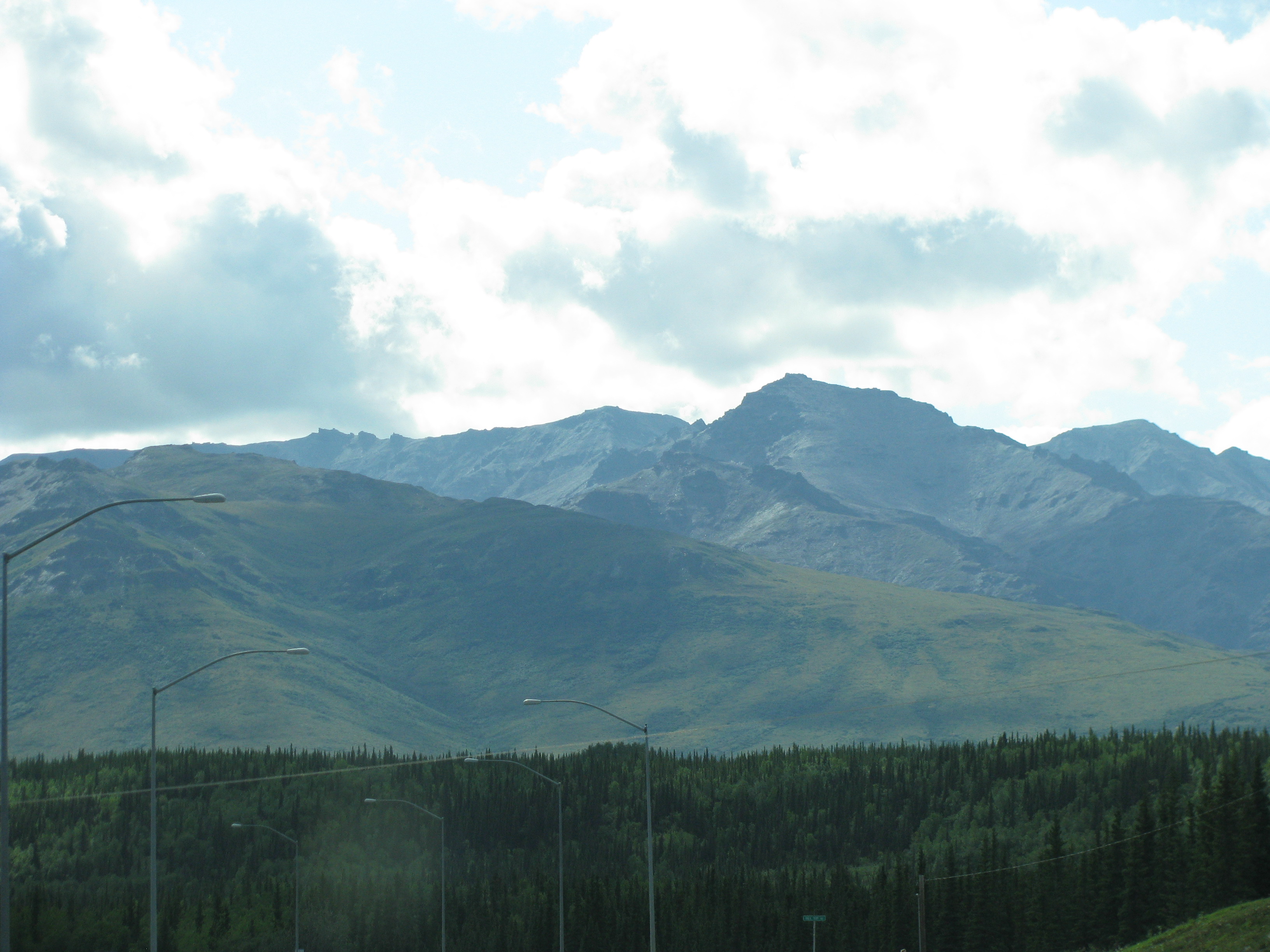
Views of Alaska Range

Views of Alaska Range

DSC_7700.jpg
Topographic Map of Alaska, USA
Find elevation by address:

Places in Alaska, USA:
Anchorage
Kenai Peninsula Borough
Fairbanks North Star
Matanuska-susitna
Juneau
Sitka
Chitina
Kodiak Island
Valdez-cordova
Haines
Yakutat
Ketchikan Gateway
Gustavus
Denali
Southeast Fairbanks
Healy
Skagway
Yukon-koyukuk
Nome
Dillingham
Northwest Arctic
Hoonah-angoon
Wade Hampton
Petersburg Borough
Bethel
Togiak
Petersburg
Prince Of Wales-hyder Census Area
Aleutians East
Lake And Peninsula
Bristol Bay
North Slope
Mount Marcus Baker
Easy St, Craig, AK, USA
Kogiak St, Barrow, AK, USA
6 Main St E, Dillingham, AK, USA
Airport Beach Rd, Unalaska, AK, USA
Front St, Hoonah, AK, USA
City And Borough Of Wrangell
Shemya Island
Unalaska
Aleutians West
Places near Alaska, USA:
1st St, Anderson, AK, USA
Anderson
George Parks Hwy, Healy, AK, USA
Denali
Savage River Campground
Market St, Nenana, AK, USA
Nenana
Yukon River
Toklat
Recent Searches:
- Elevation of Corso Fratelli Cairoli, 35, Macerata MC, Italy
- Elevation of Tallevast Rd, Sarasota, FL, USA
- Elevation of 4th St E, Sonoma, CA, USA
- Elevation of Black Hollow Rd, Pennsdale, PA, USA
- Elevation of Oakland Ave, Williamsport, PA, USA
- Elevation of Pedrógão Grande, Portugal
- Elevation of Klee Dr, Martinsburg, WV, USA
- Elevation of Via Roma, Pieranica CR, Italy
- Elevation of Tavkvetili Mountain, Georgia
- Elevation of Hartfords Bluff Cir, Mt Pleasant, SC, USA