Elevation map of Prince of Wales-Hyder Census Area, AK, USA
Location: United States > Alaska >
Longitude: -132.60445
Latitude: 55.3242244
Elevation: 595m / 1952feet
Barometric Pressure: 94KPa
Elevation Map:
Satellite Map:
Related Photos:
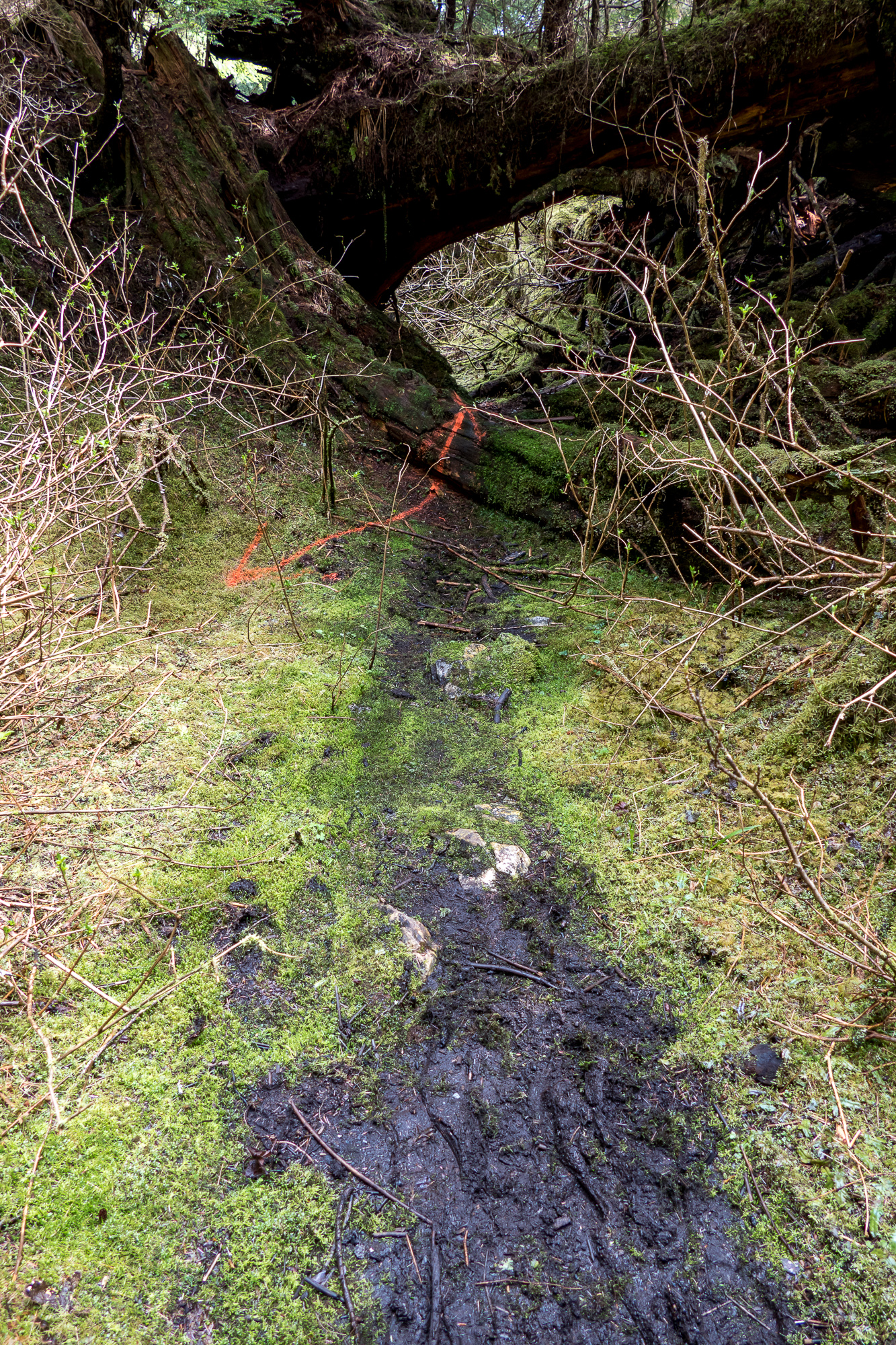
Old Kook Lake Trail - Basket Bay Bear Viewing
Topographic Map of Prince of Wales-Hyder Census Area, AK, USA
Find elevation by address:

Places in Prince of Wales-Hyder Census Area, AK, USA:
Places near Prince of Wales-Hyder Census Area, AK, USA:
Recent Searches:
- Elevation of Lumagwas Diversified Farmers Multi-Purpose Cooperative, Lumagwas, Adtuyon, RV32+MH7, Pangantucan, Bukidnon, Philippines
- Elevation of Homestead Ridge, New Braunfels, TX, USA
- Elevation of Orchard Road, Orchard Rd, Marlborough, NY, USA
- Elevation of 12 Hutchinson Woods Dr, Fletcher, NC, USA
- Elevation of Holloway Ave, San Francisco, CA, USA
- Elevation of Norfolk, NY, USA
- Elevation of - San Marcos Pass Rd, Santa Barbara, CA, USA
- Elevation of th Pl SE, Issaquah, WA, USA
- Elevation of 82- D Rd, Captain Cook, HI, USA
- Elevation of Harlow CM20 2PR, UK