Elevation of Anderson, AK, USA
Location: United States > Alaska > Denali >
Longitude: -149.18694
Latitude: 64.3441667
Elevation: 157m / 515feet
Barometric Pressure: 99KPa
Elevation Map:
Satellite Map:
Related Photos:
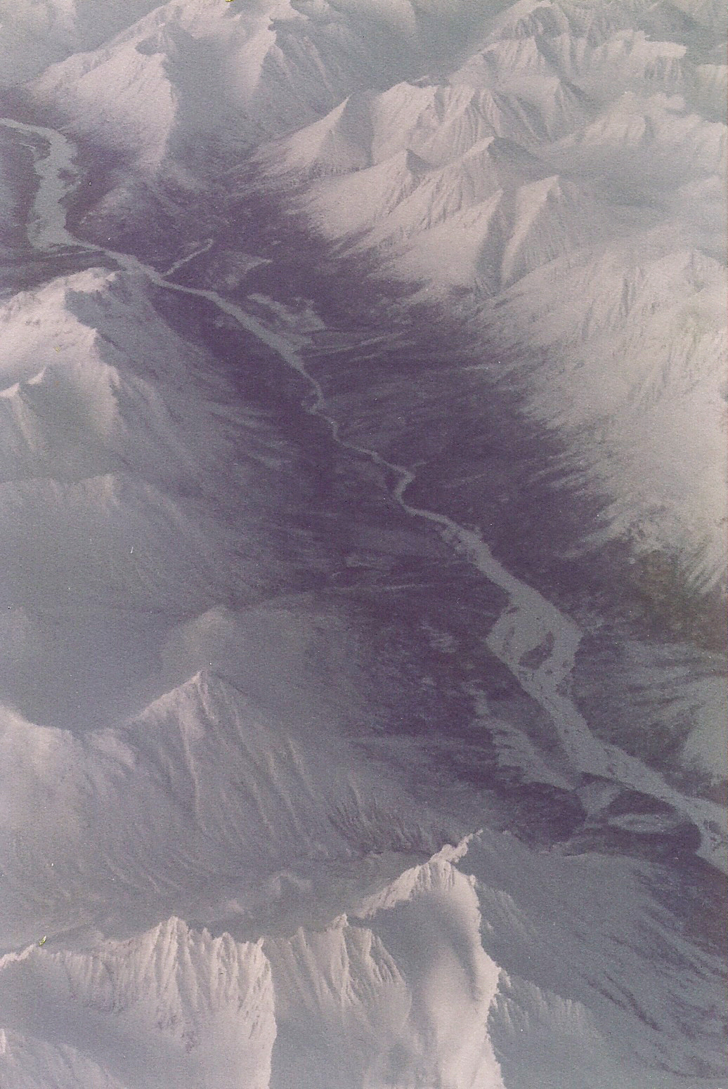
Frozen Alaskan Rivers and Mountains from the Air
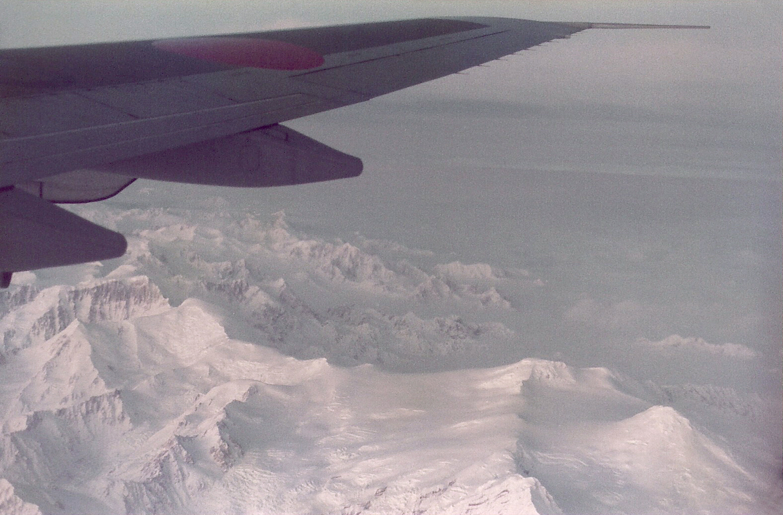
Alaskan Mountains from a Wing

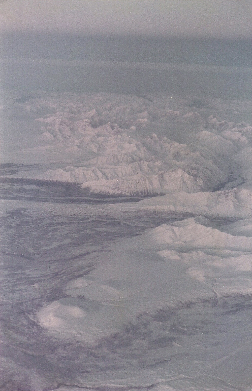
Alaska from Above
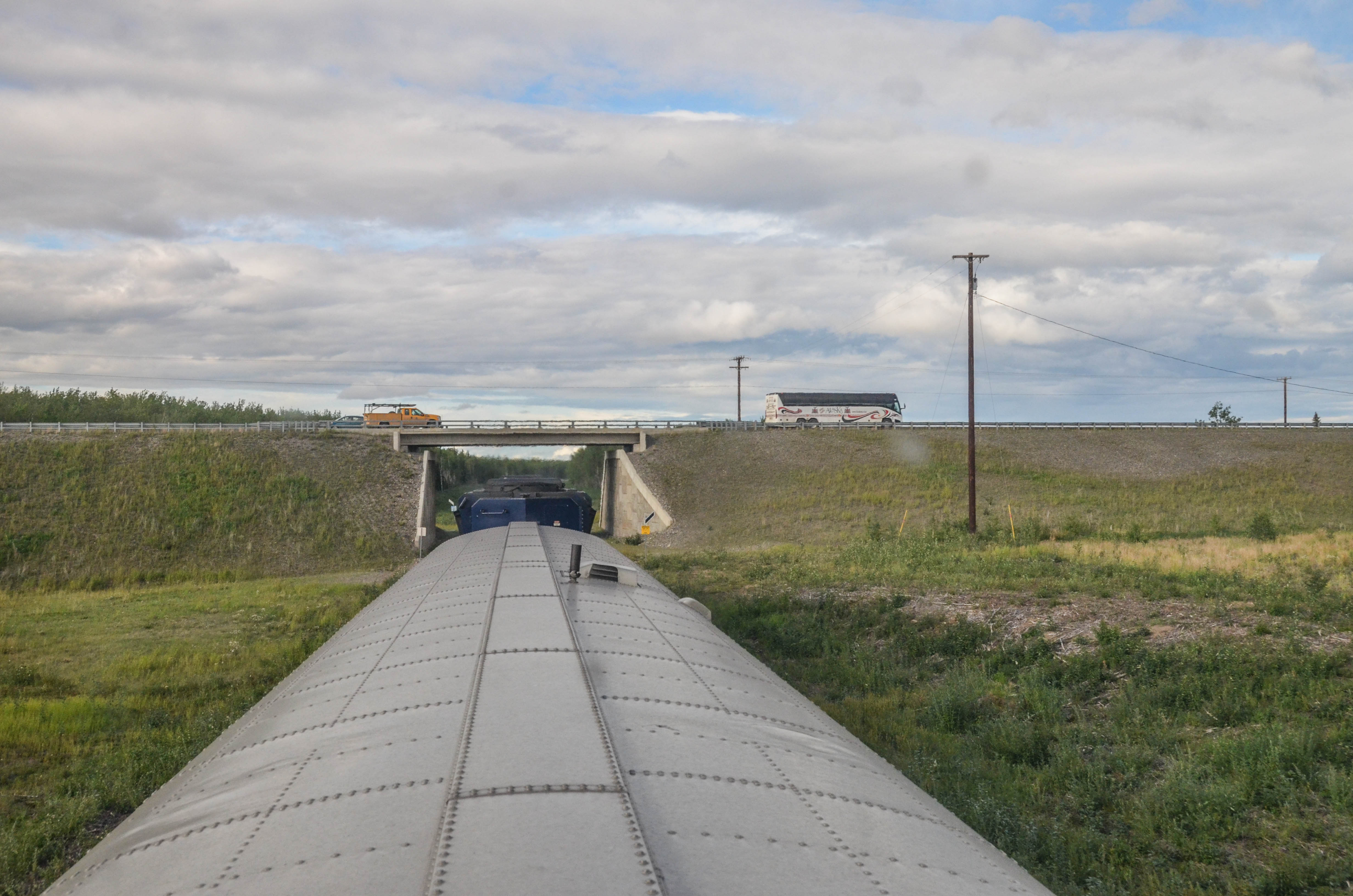
DSC_7702.jpg
Alaska in the Afternoon Light
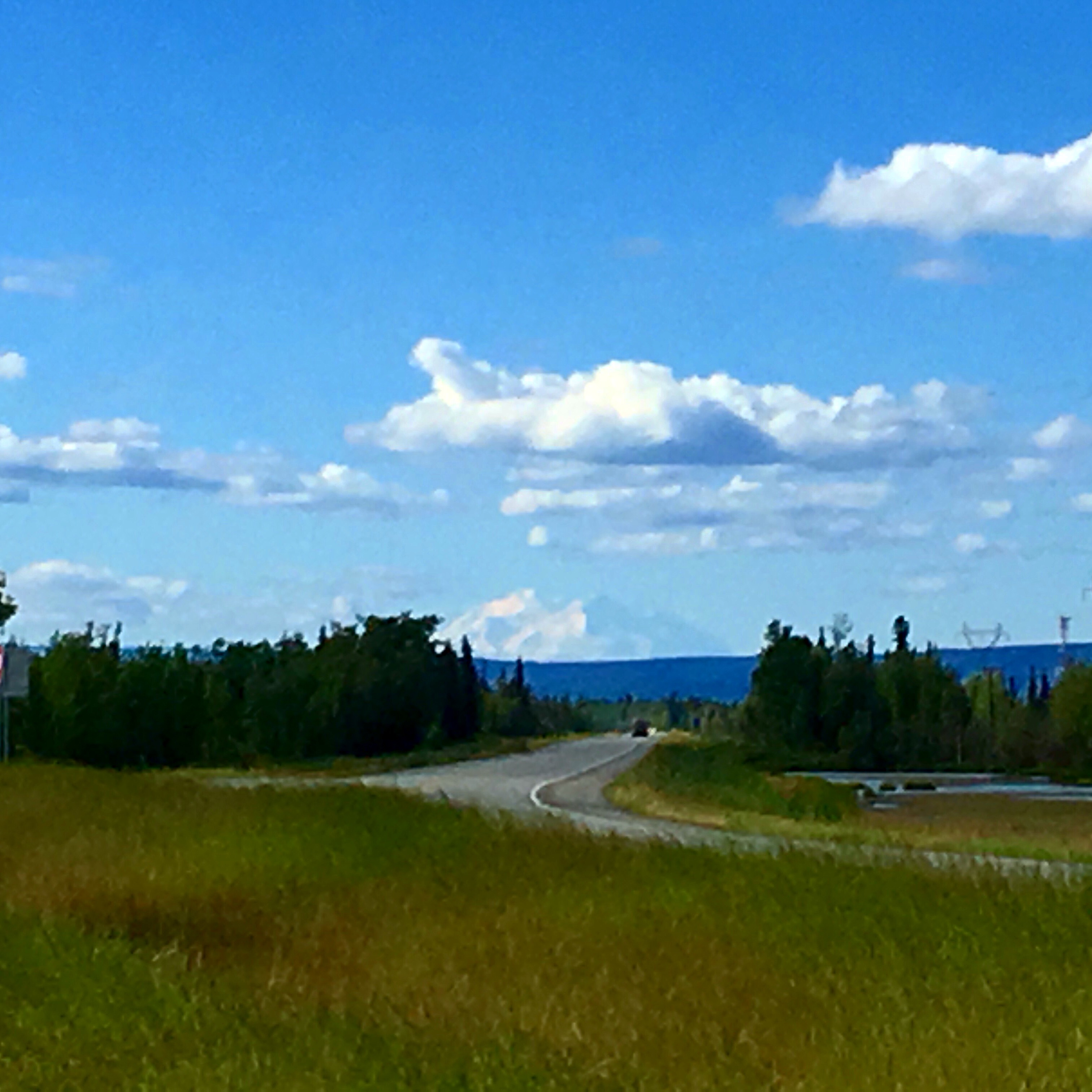
Denali in view ~ what a day!

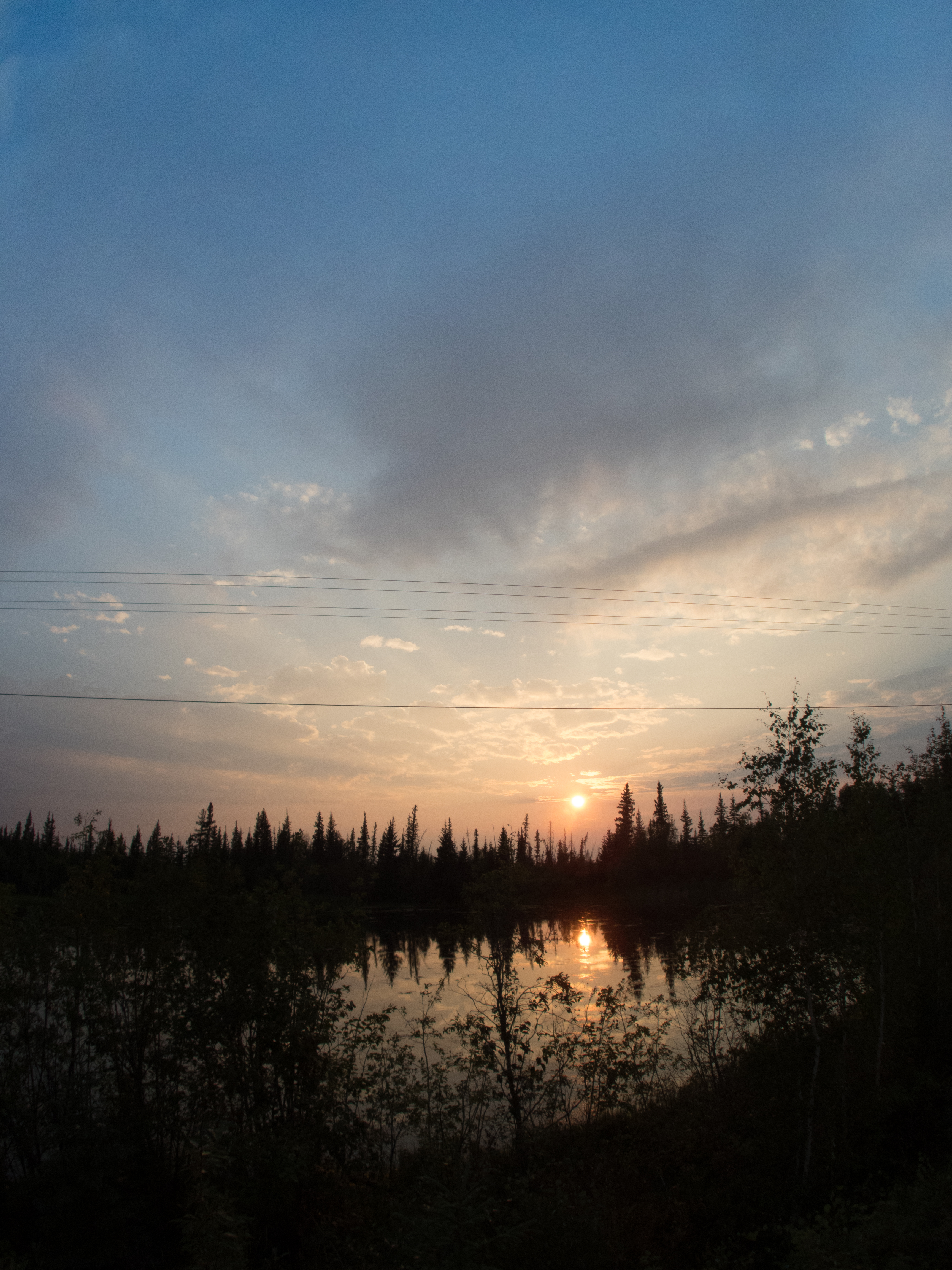
wide open Alaska
P8060194.jpg
Topographic Map of Anderson, AK, USA
Find elevation by address:

Places in Anderson, AK, USA:
Places near Anderson, AK, USA:
1st St, Anderson, AK, USA
Market St, Nenana, AK, USA
Nenana
Alaska
George Parks Hwy, Healy, AK, USA
Savage River Campground
Denali
Yukon River
Toklat
Recent Searches:
- Elevation of NY-, Friendship, NY, USA
- Elevation of 64 Danakas Dr, Winnipeg, MB R2C 5N7, Canada
- Elevation of 4 Vale Rd, Sheffield S3 9QX, UK
- Elevation of Keene Point Drive, Keene Point Dr, Grant, AL, USA
- Elevation of State St, Zanesville, OH, USA
- Elevation of Austin Stone Dr, Haslet, TX, USA
- Elevation of Bydgoszcz, Poland
- Elevation of Bydgoszcz, Poland
- Elevation of Calais Dr, Del Mar, CA, USA
- Elevation of Placer Mine Ln, West Jordan, UT, USA