Elevation map of Yukon-Koyukuk, AK, USA
Location: United States > Alaska >
Longitude: -153.43029
Latitude: 65.8443667
Elevation: 448m / 1470feet
Barometric Pressure: 96KPa
Elevation Map:
Satellite Map:
Related Photos:

Image taken from page 133 of 'Voyages et aventures dans la Colombie Anglaise, l'île Vancouver, la territoire d'Alaska et la Californie ... [Translated into French and] abrégés par H. Vattemare'
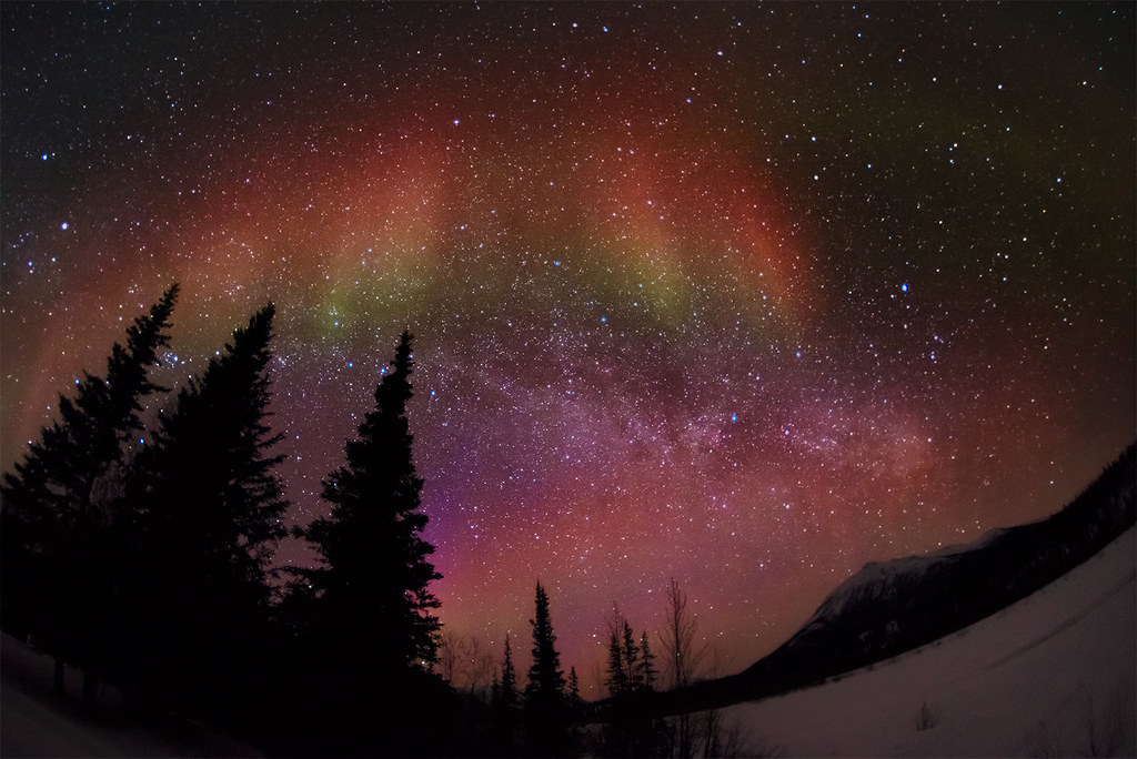
God's Palette
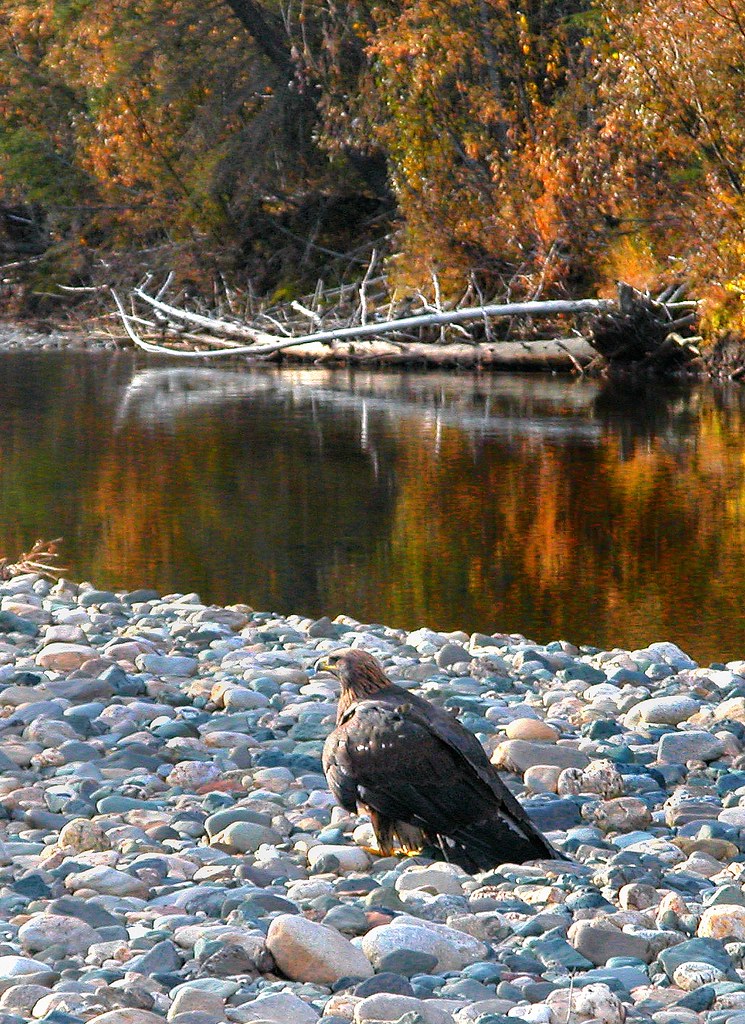
Overfed Young Eagle--Alaska, USA, Mosquito Fork of the South Fork of Koyukuk

Morning Glow
The Magic Moment
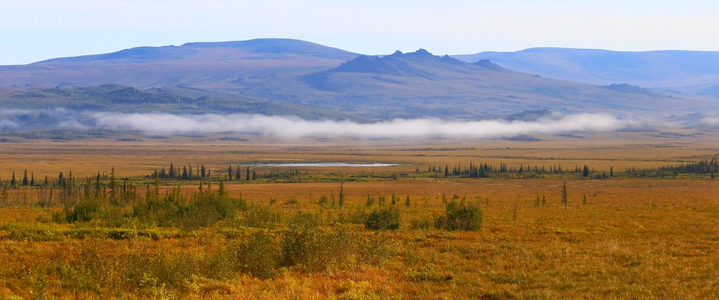
Tundra Mist
The Floating Dream

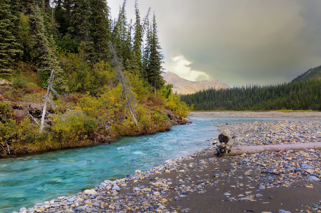
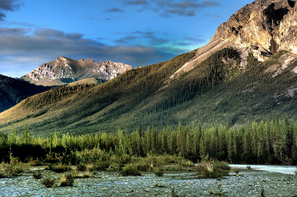
Koyukuk River/Alaska
Alaska Camp View, Matthews River
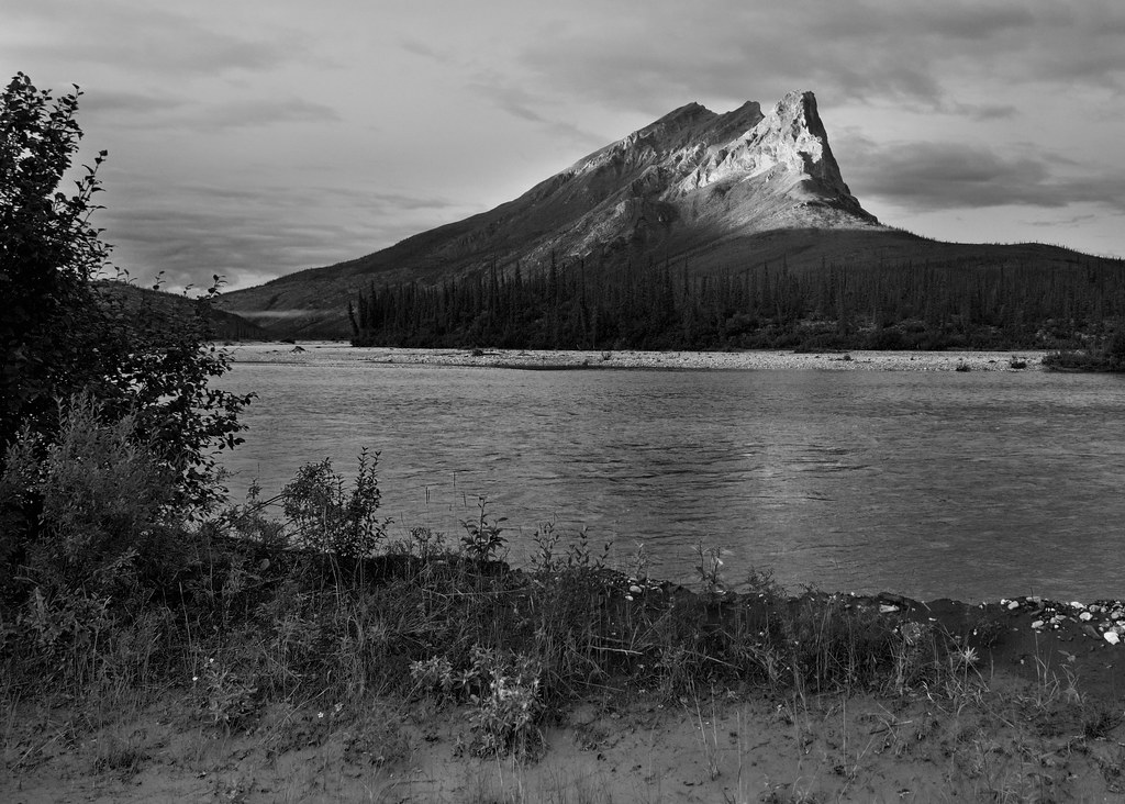
Alaska Matterhorn [seen in Explore]
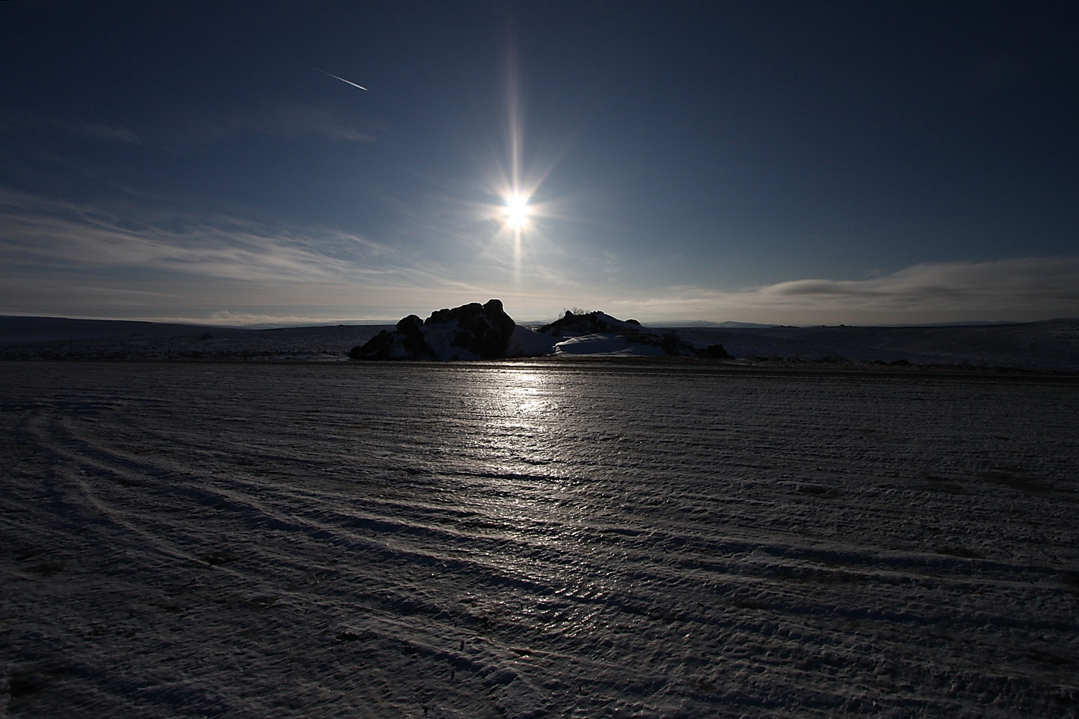
huge icy landscape
Late Evening Scenery, Alaska

Alaska Tour by iPhone
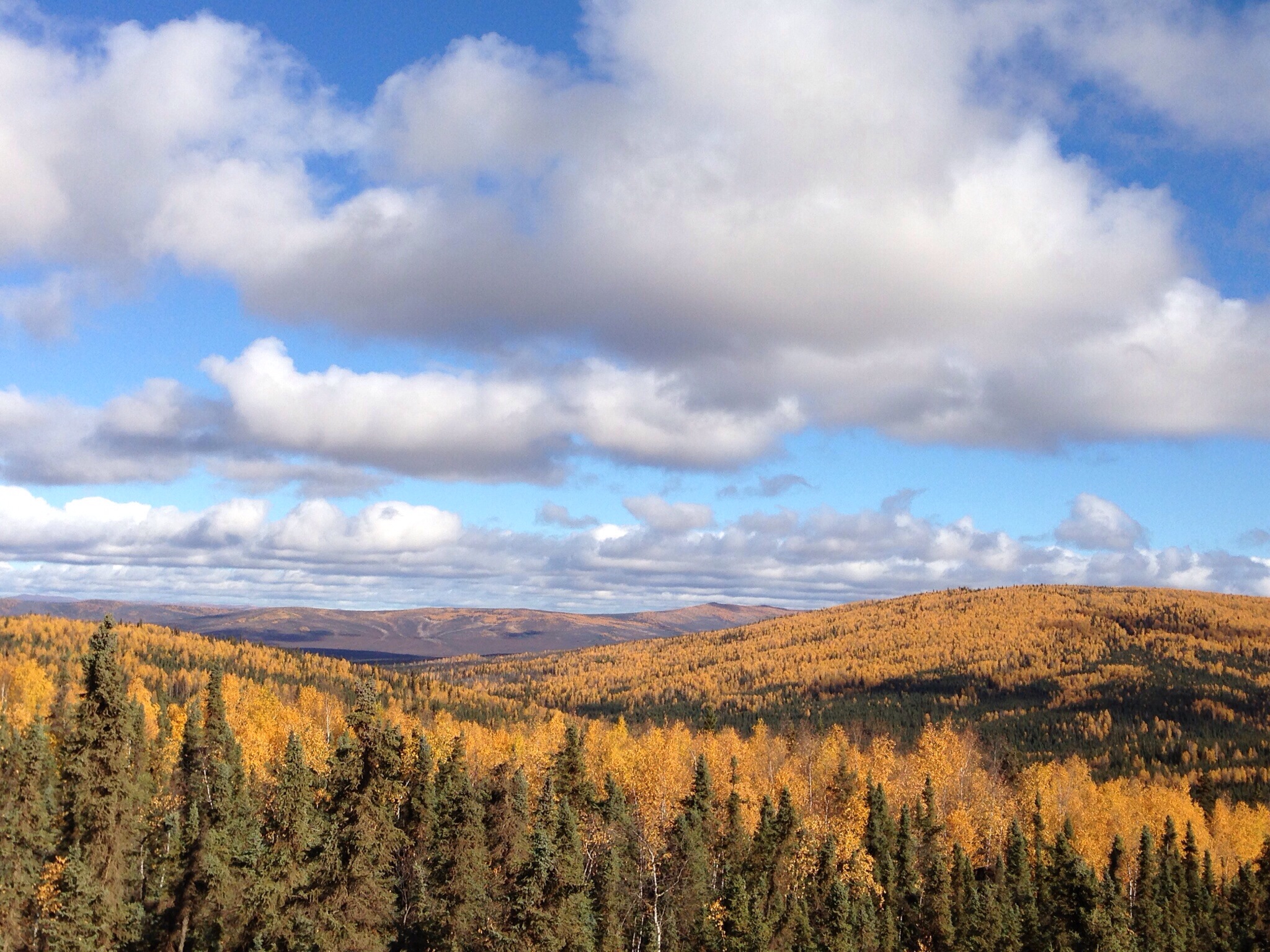
Alaska Tour by iPhone

P9110392-2
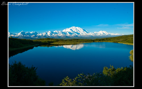
Mt. McKinley

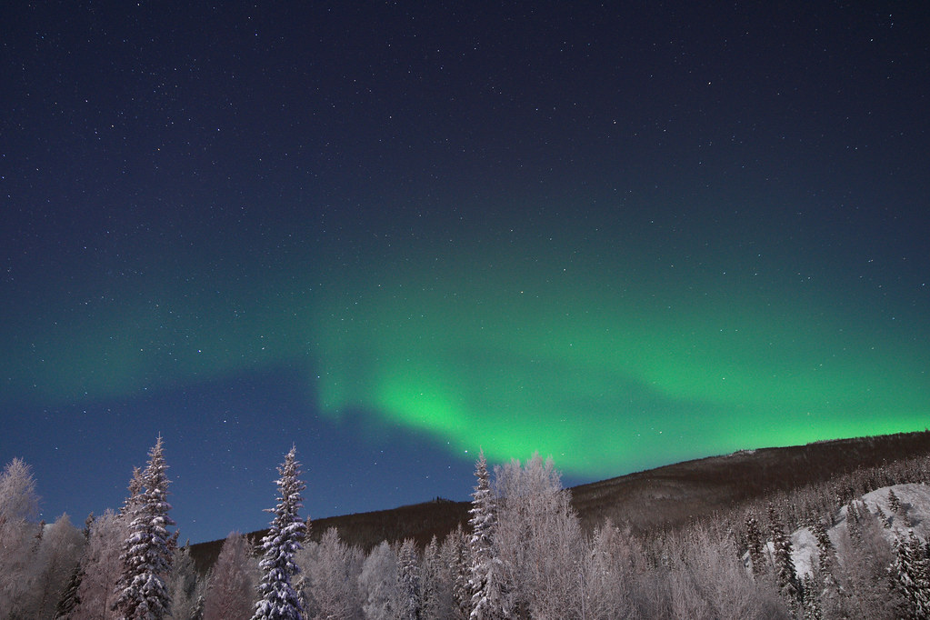
Lights at Tanana

照片 898
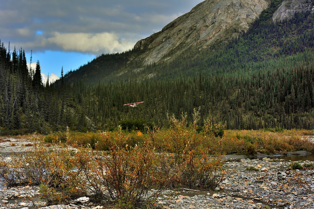
Bush Pilot Landing
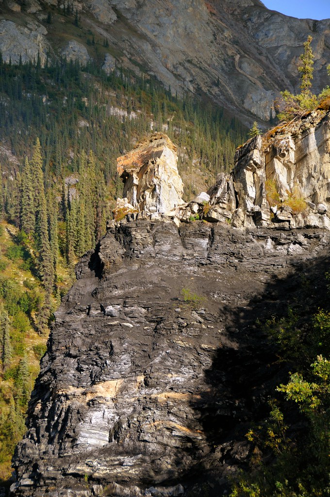
Layers of Time

Bridge over the Tanana River
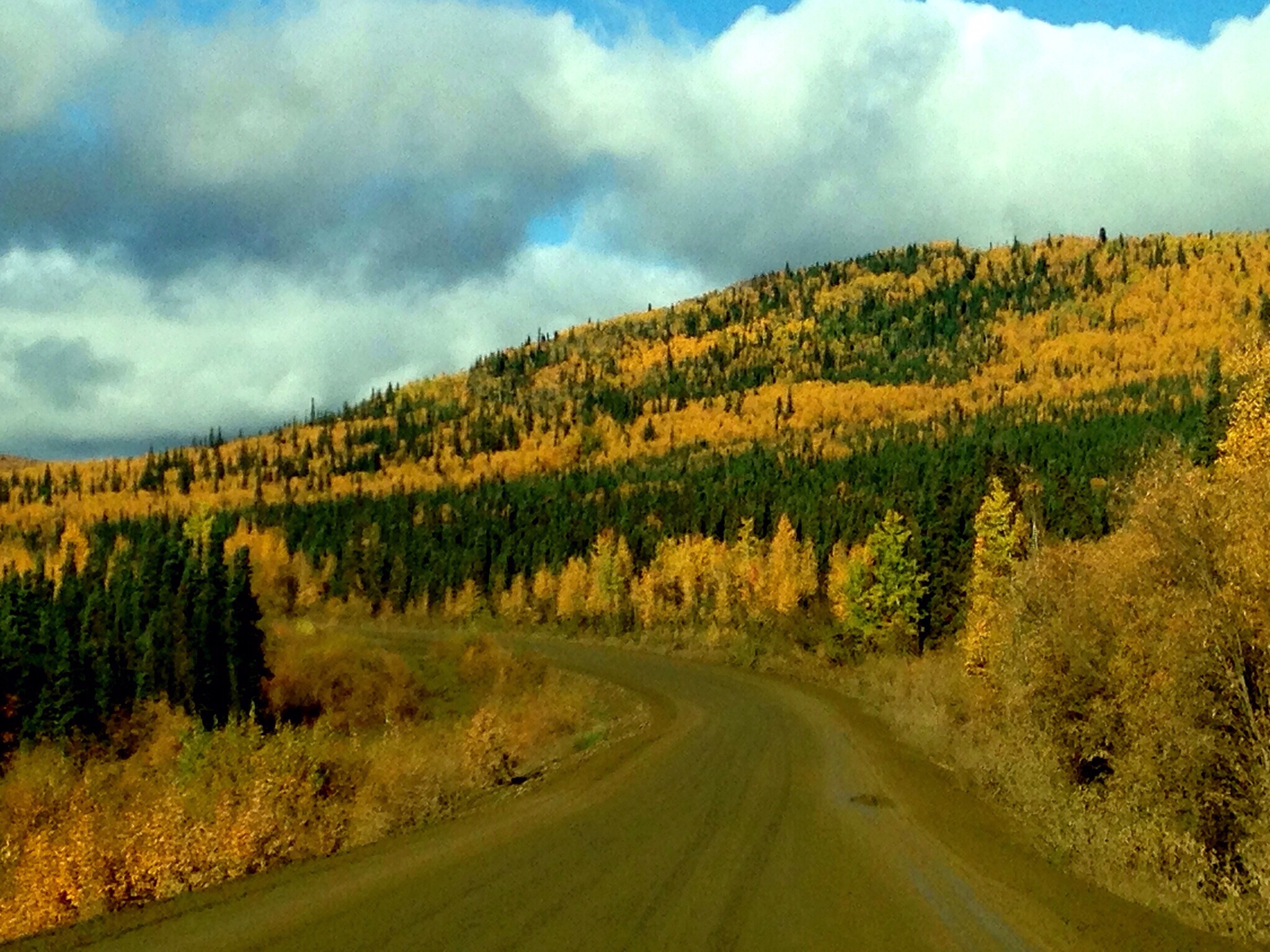
Alaska Tour by iPhone
Topographic Map of Yukon-Koyukuk, AK, USA
Find elevation by address:

Places in Yukon-Koyukuk, AK, USA:
Lake Minchumina
Nenana
Flat
Galena
Holy Cross
Farewell Lake
Allakaket
Koyukuk
Hughes
Huslia
Toklat
Melozitna River
Minto
Places near Yukon-Koyukuk, AK, USA:
Recent Searches:
- Elevation of Corso Fratelli Cairoli, 35, Macerata MC, Italy
- Elevation of Tallevast Rd, Sarasota, FL, USA
- Elevation of 4th St E, Sonoma, CA, USA
- Elevation of Black Hollow Rd, Pennsdale, PA, USA
- Elevation of Oakland Ave, Williamsport, PA, USA
- Elevation of Pedrógão Grande, Portugal
- Elevation of Klee Dr, Martinsburg, WV, USA
- Elevation of Via Roma, Pieranica CR, Italy
- Elevation of Tavkvetili Mountain, Georgia
- Elevation of Hartfords Bluff Cir, Mt Pleasant, SC, USA