Elevation map of Melozitna River, Alaska, USA
Location: United States > Alaska > Yukon-koyukuk >
Longitude: -154.18518
Latitude: 65.3978076
Elevation: 493m / 1617feet
Barometric Pressure: 96KPa
Elevation Map:
Satellite Map:
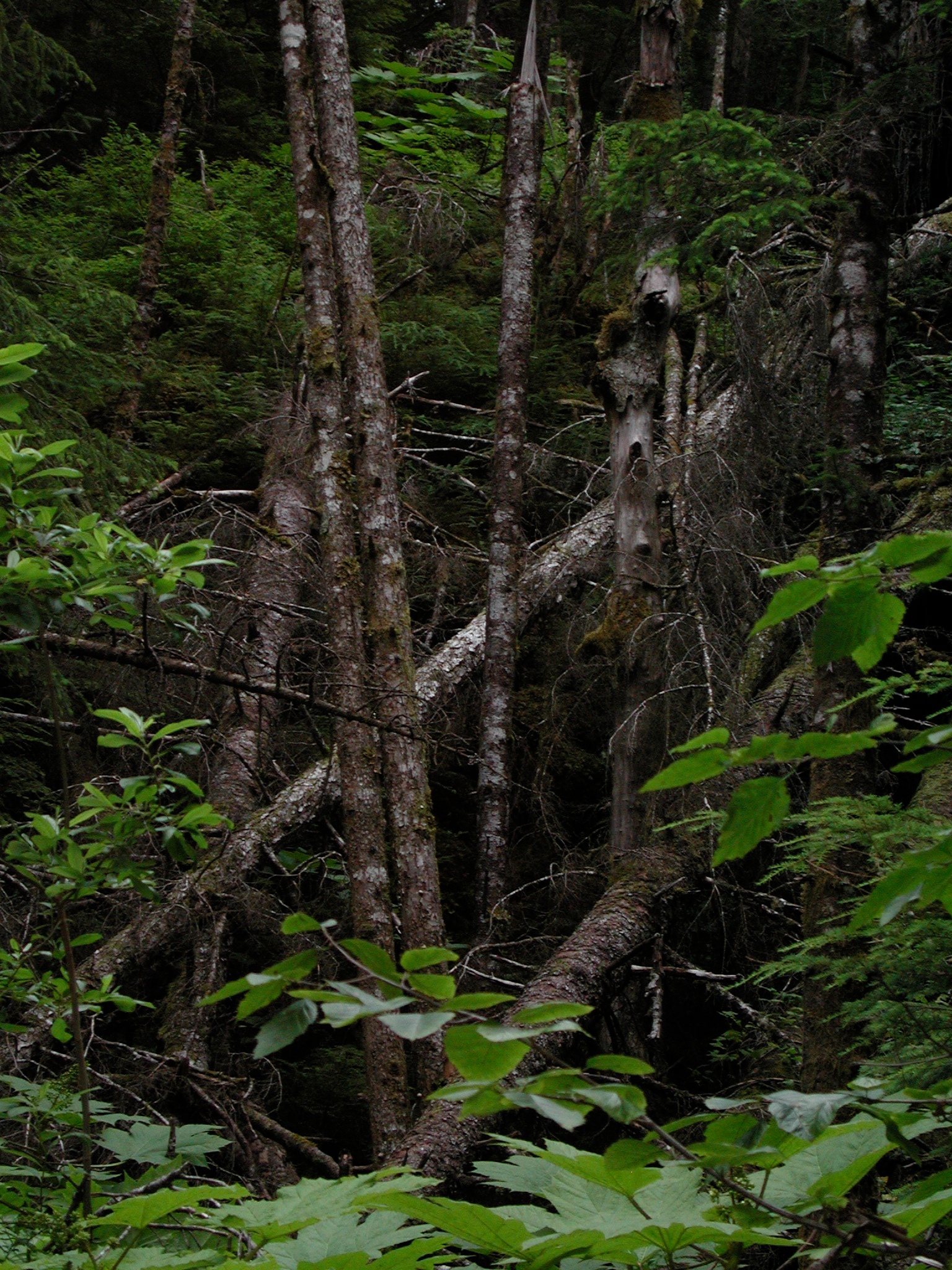
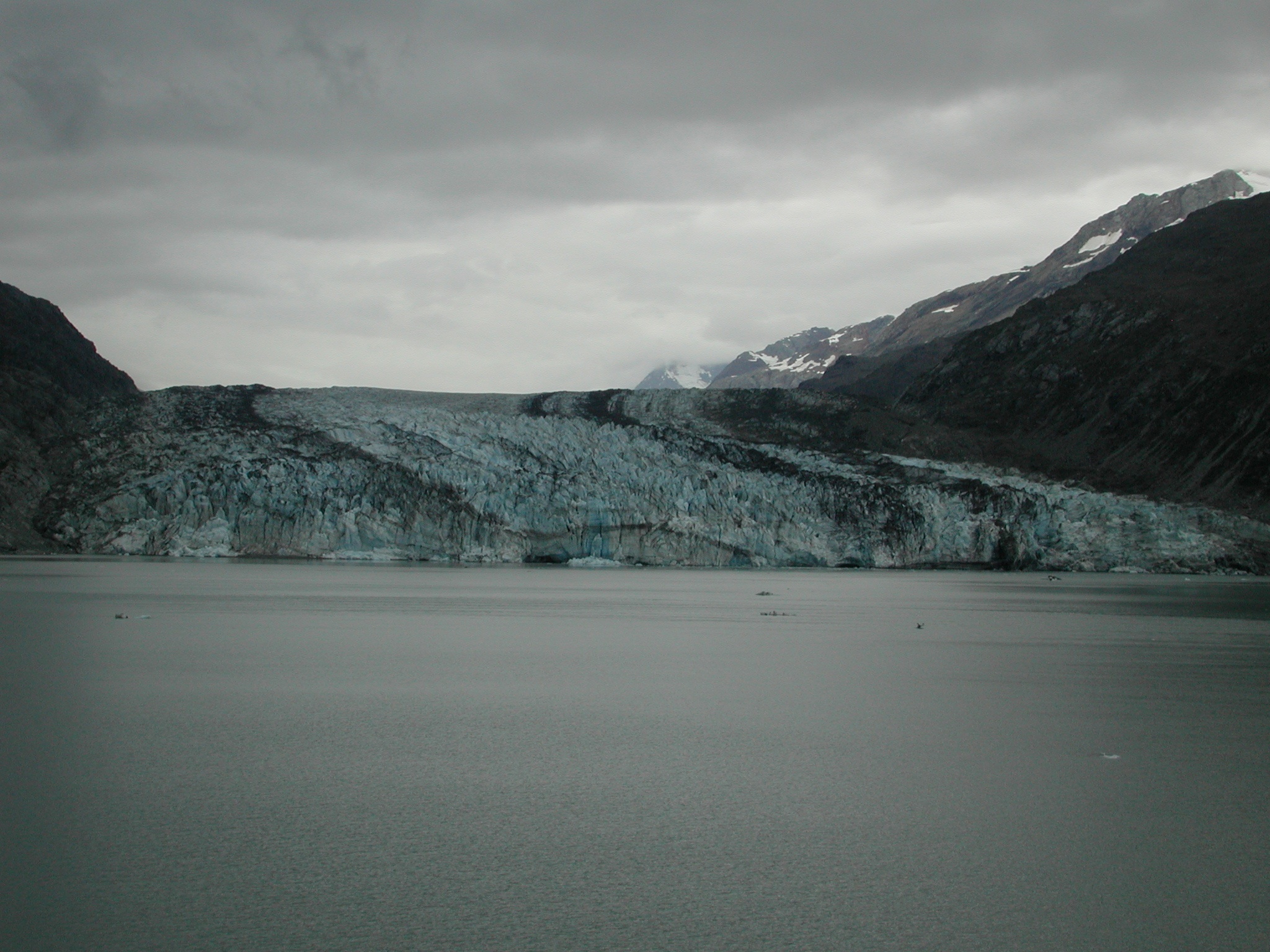
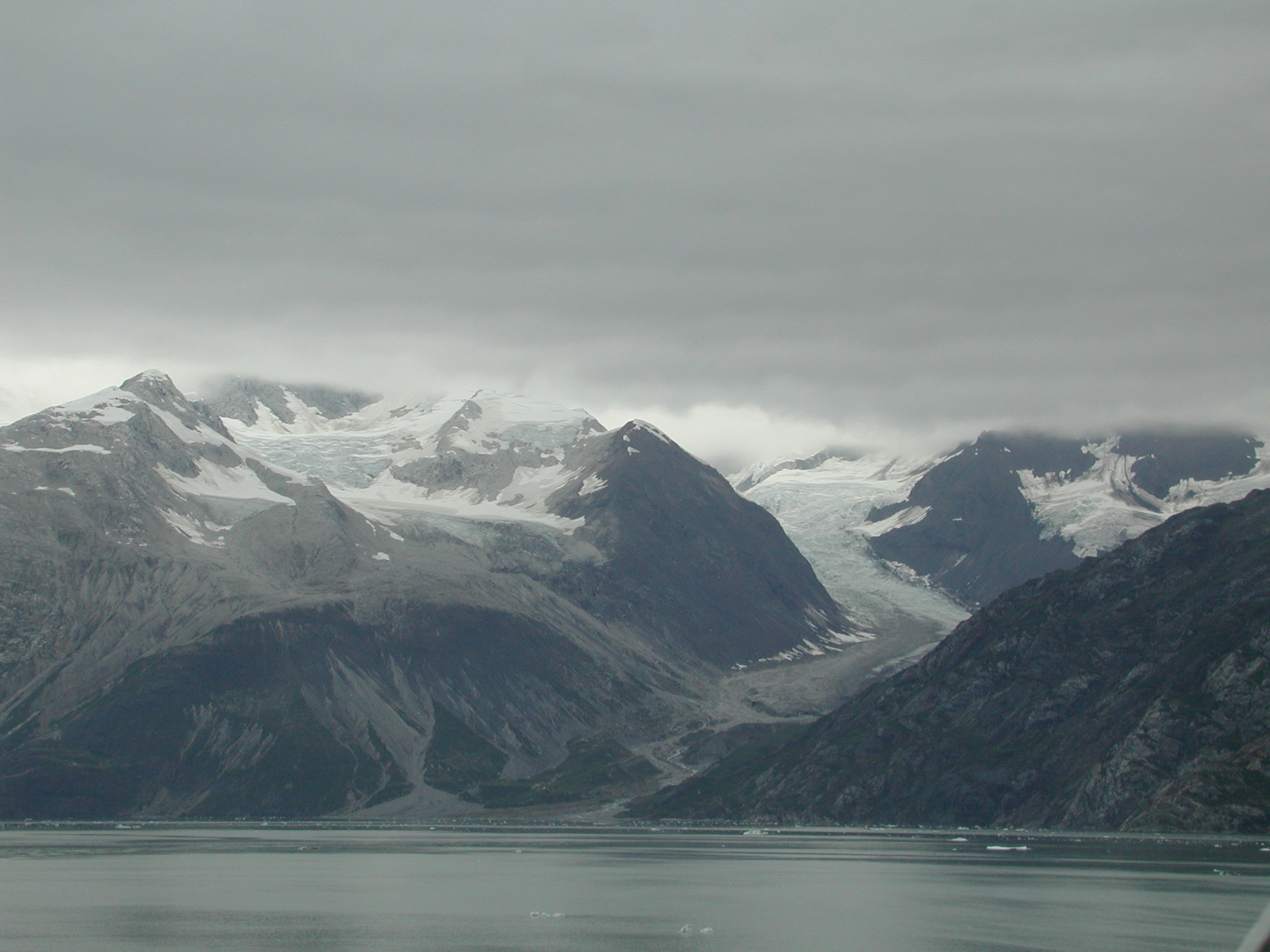
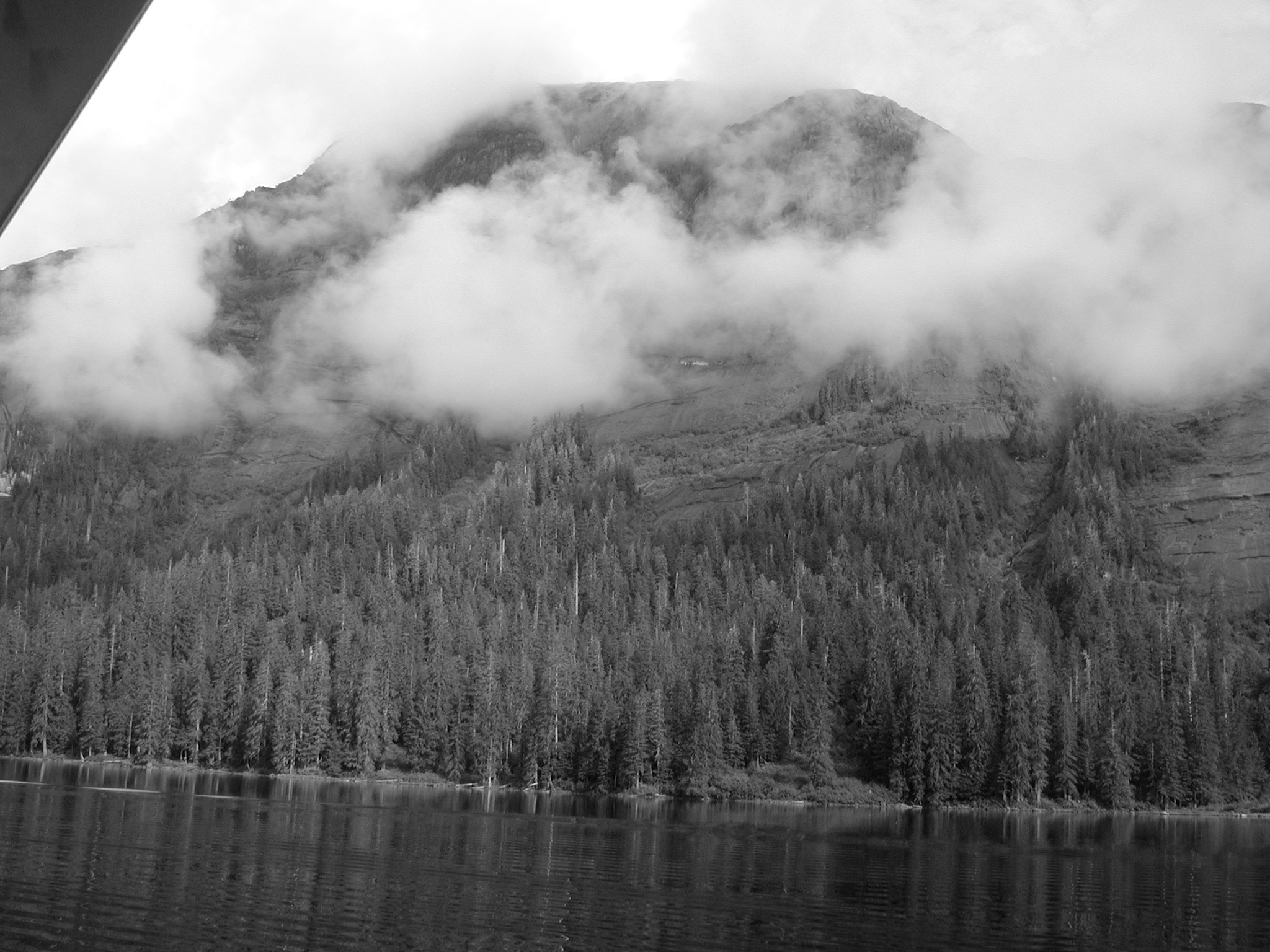
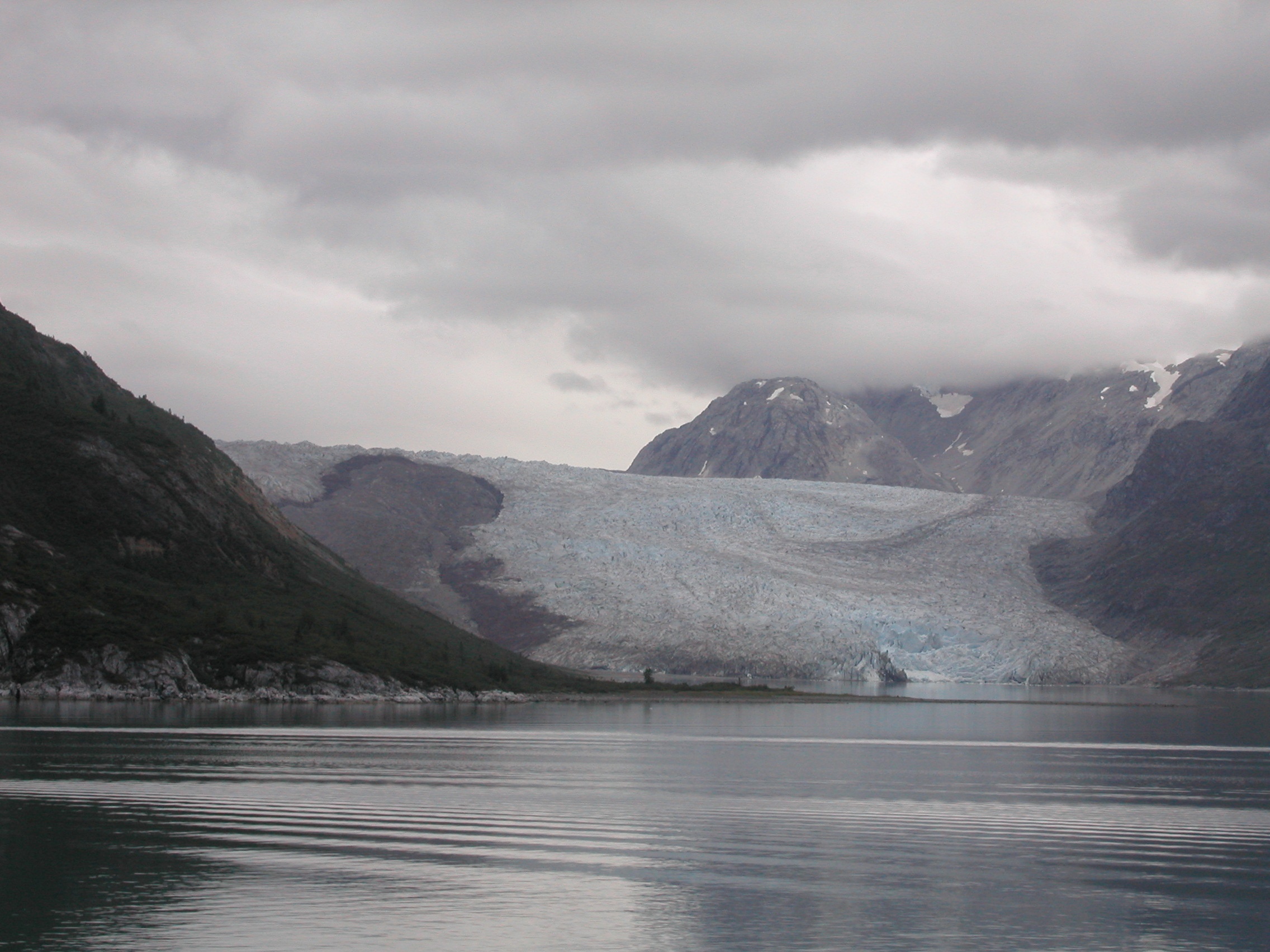
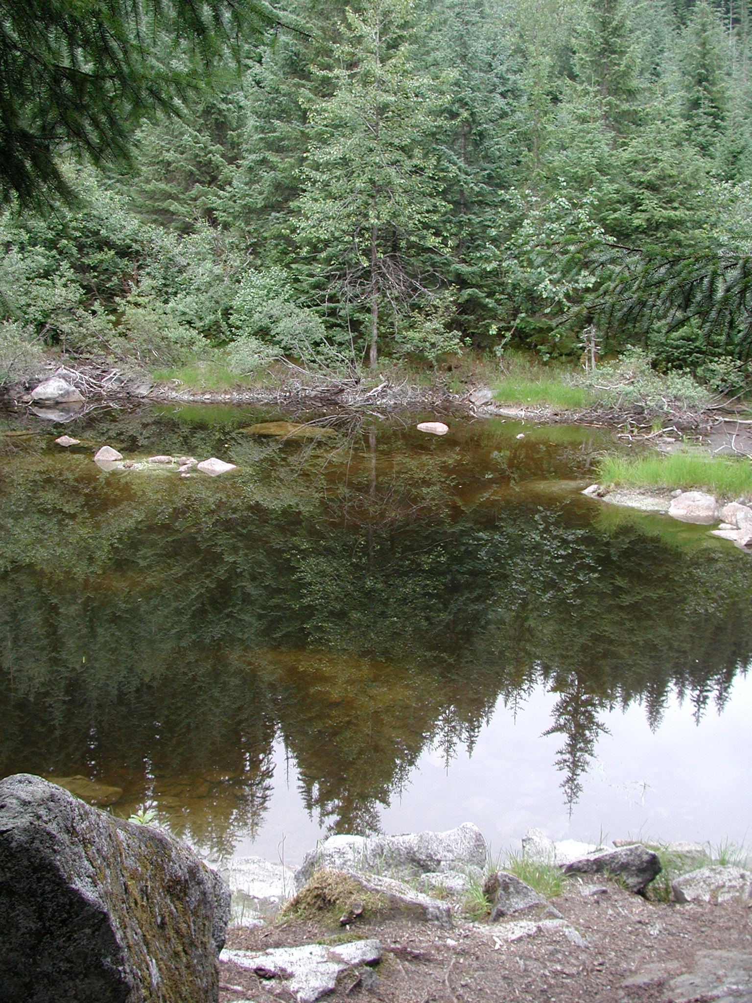
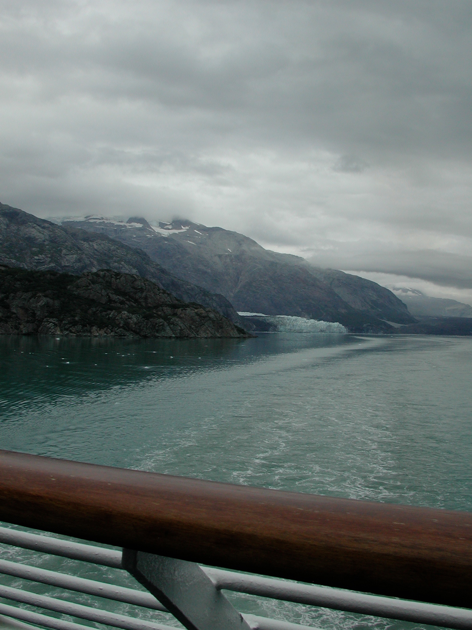
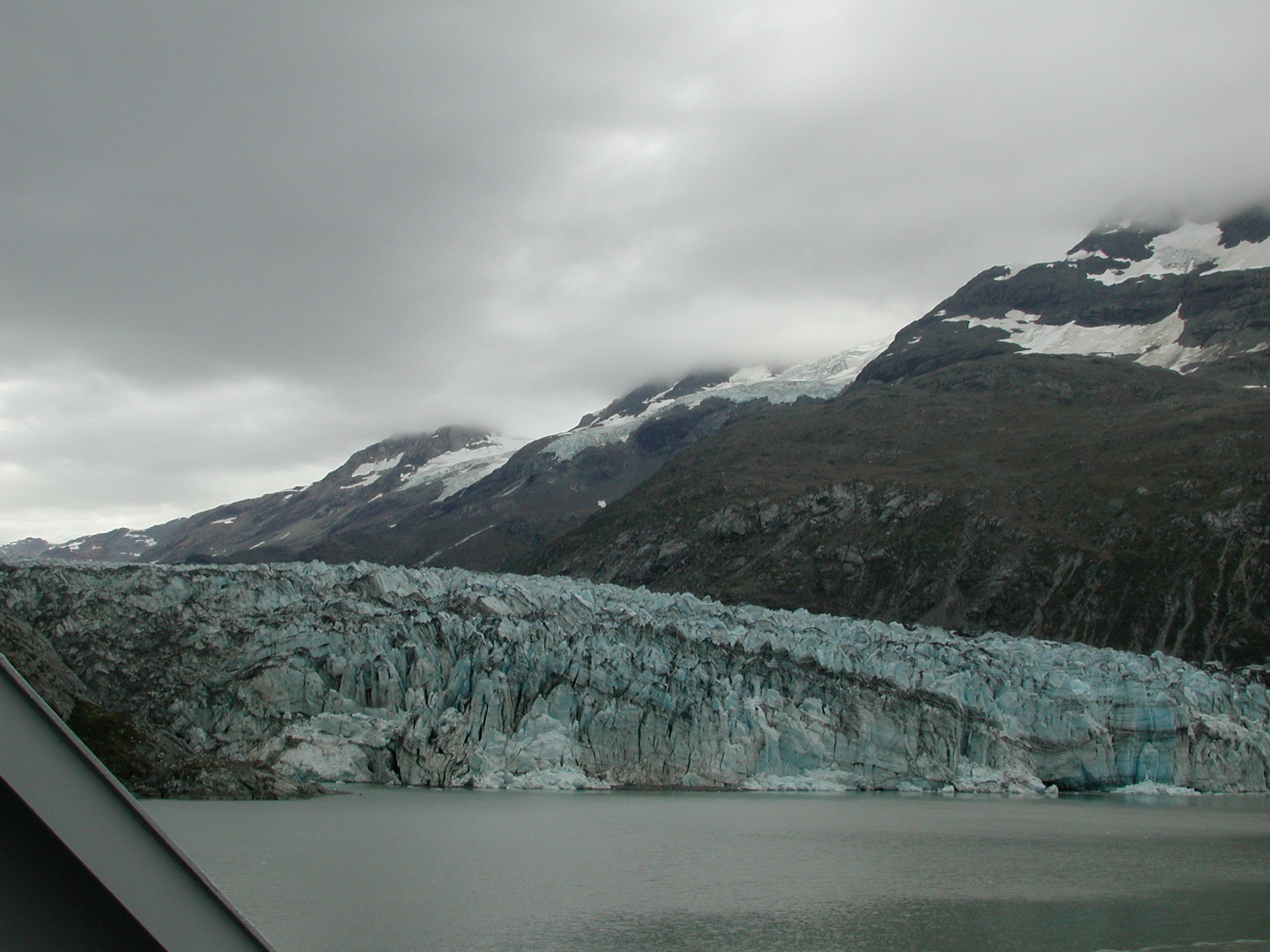
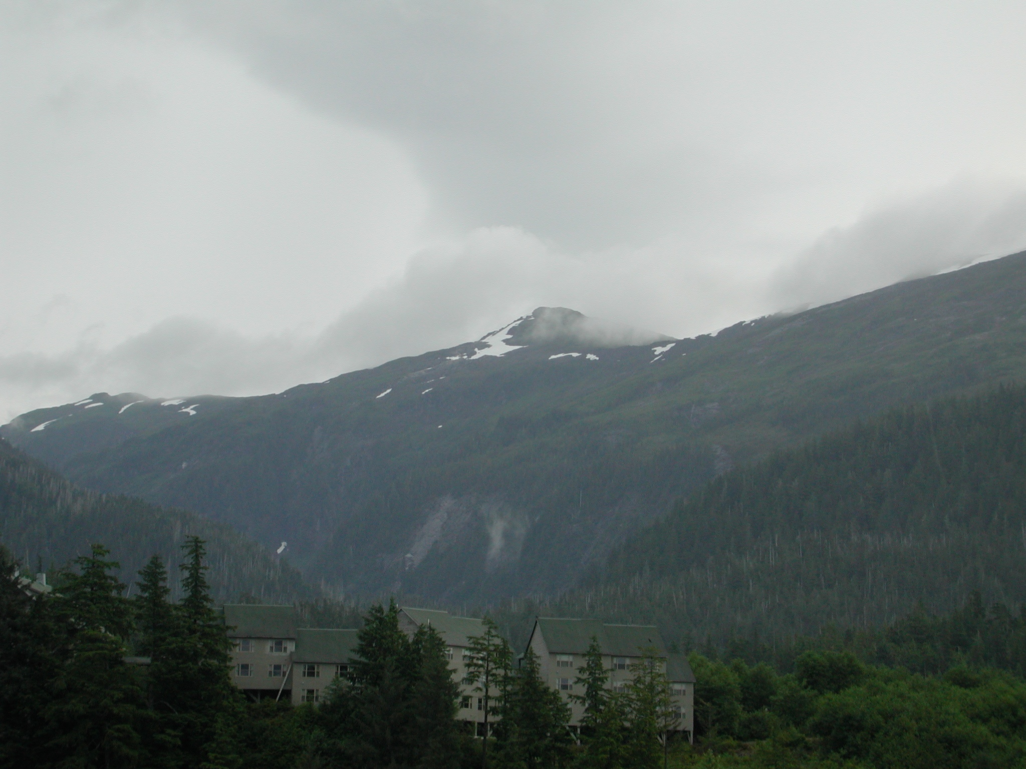
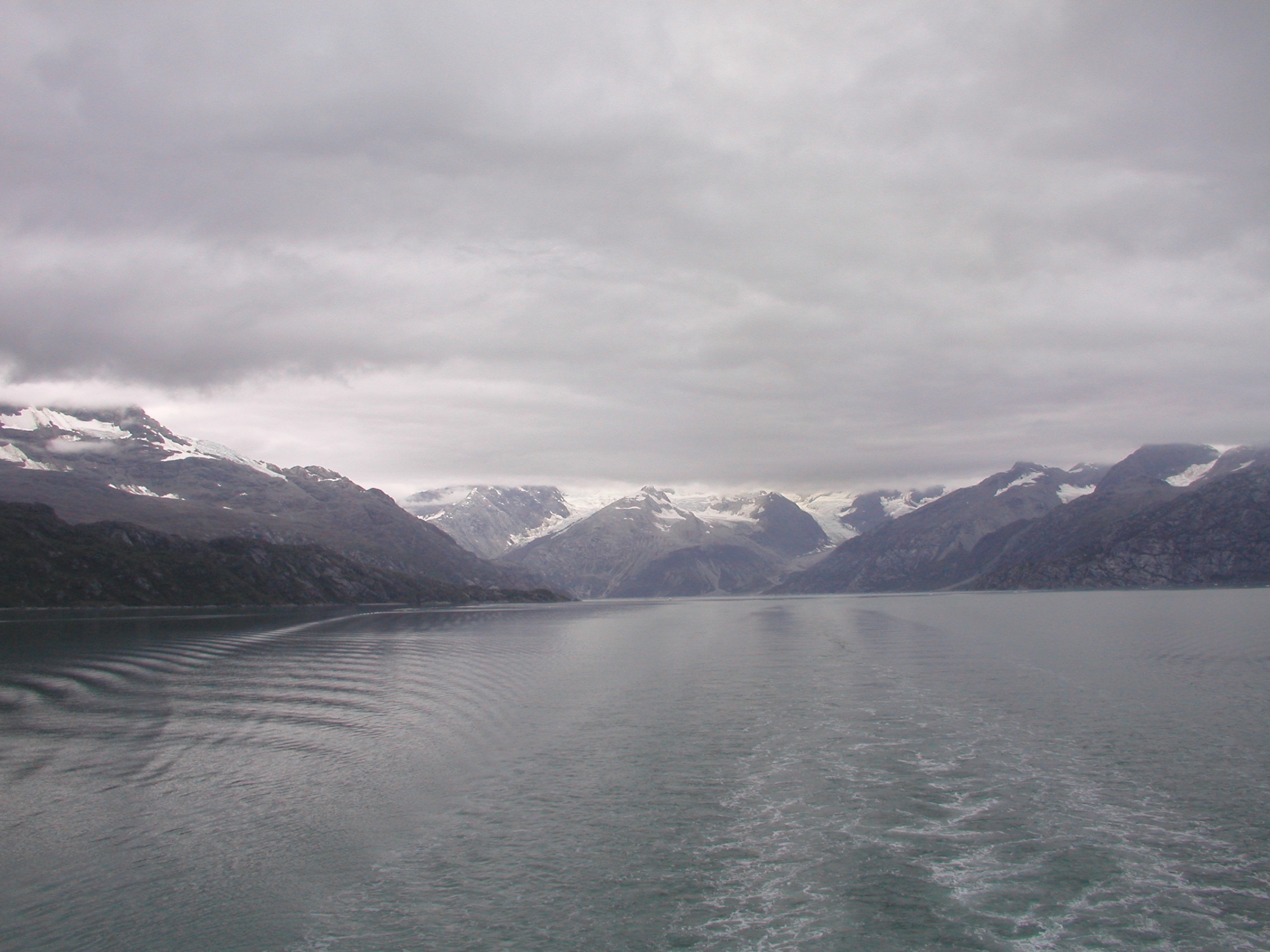
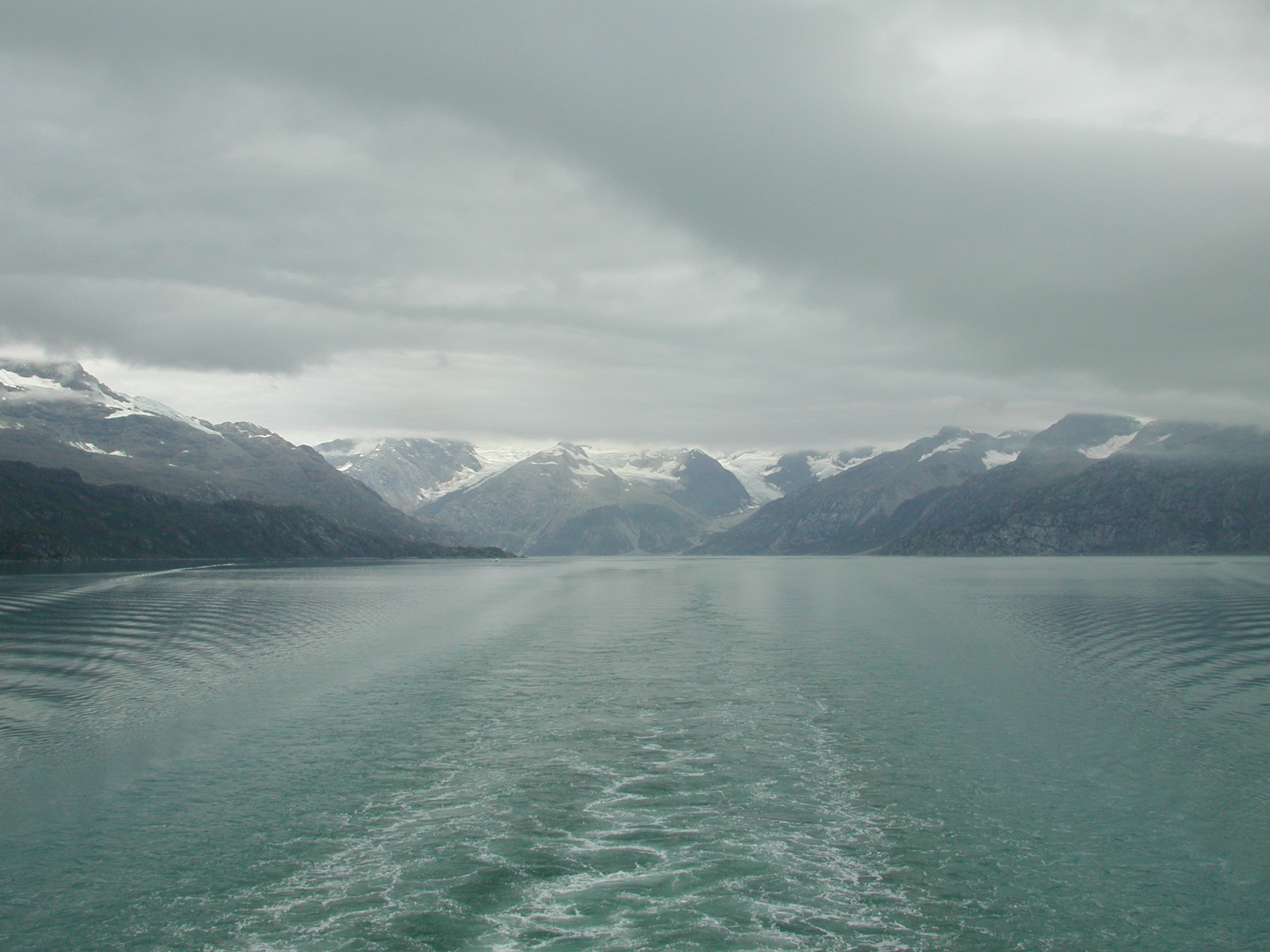
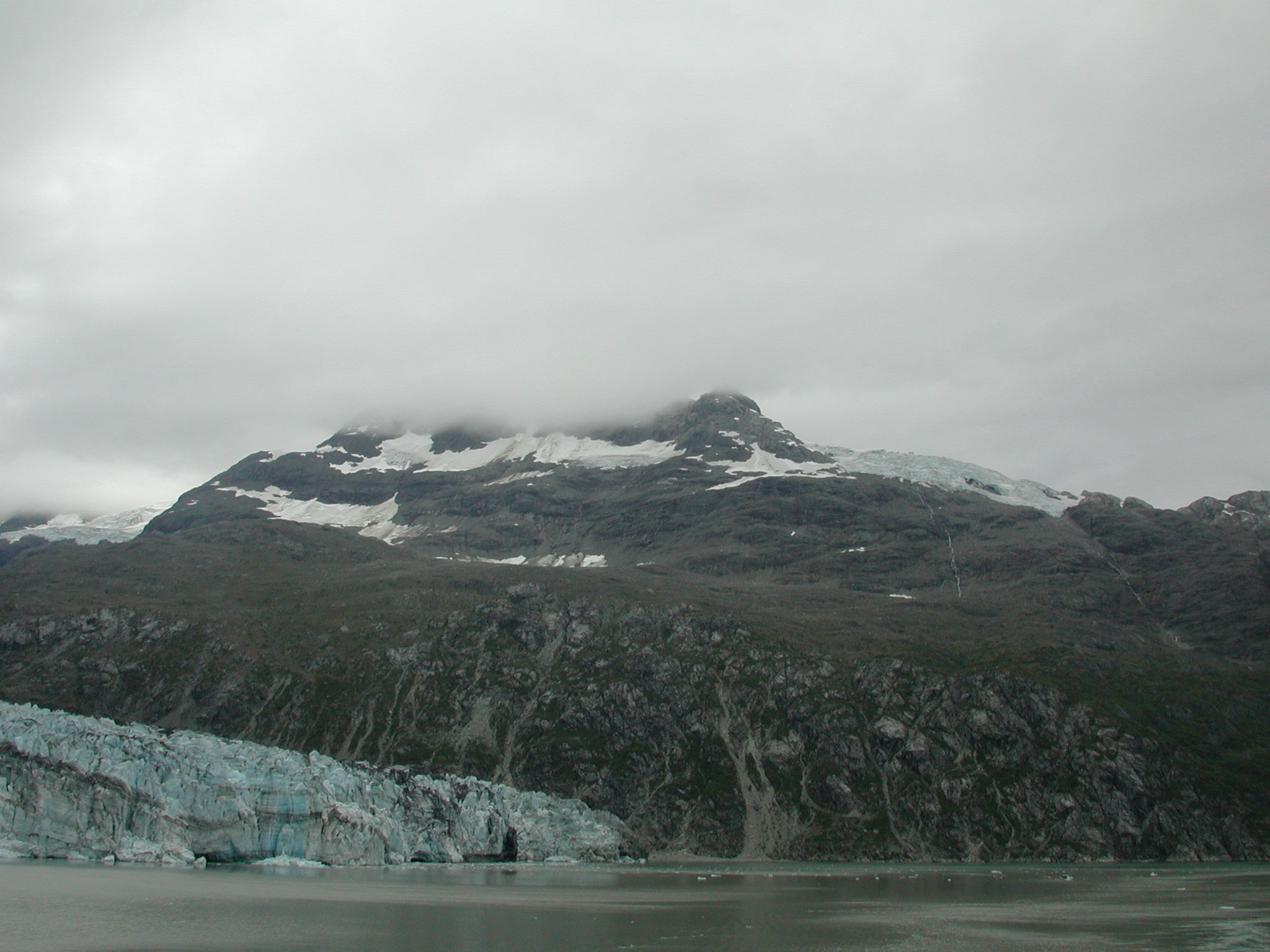
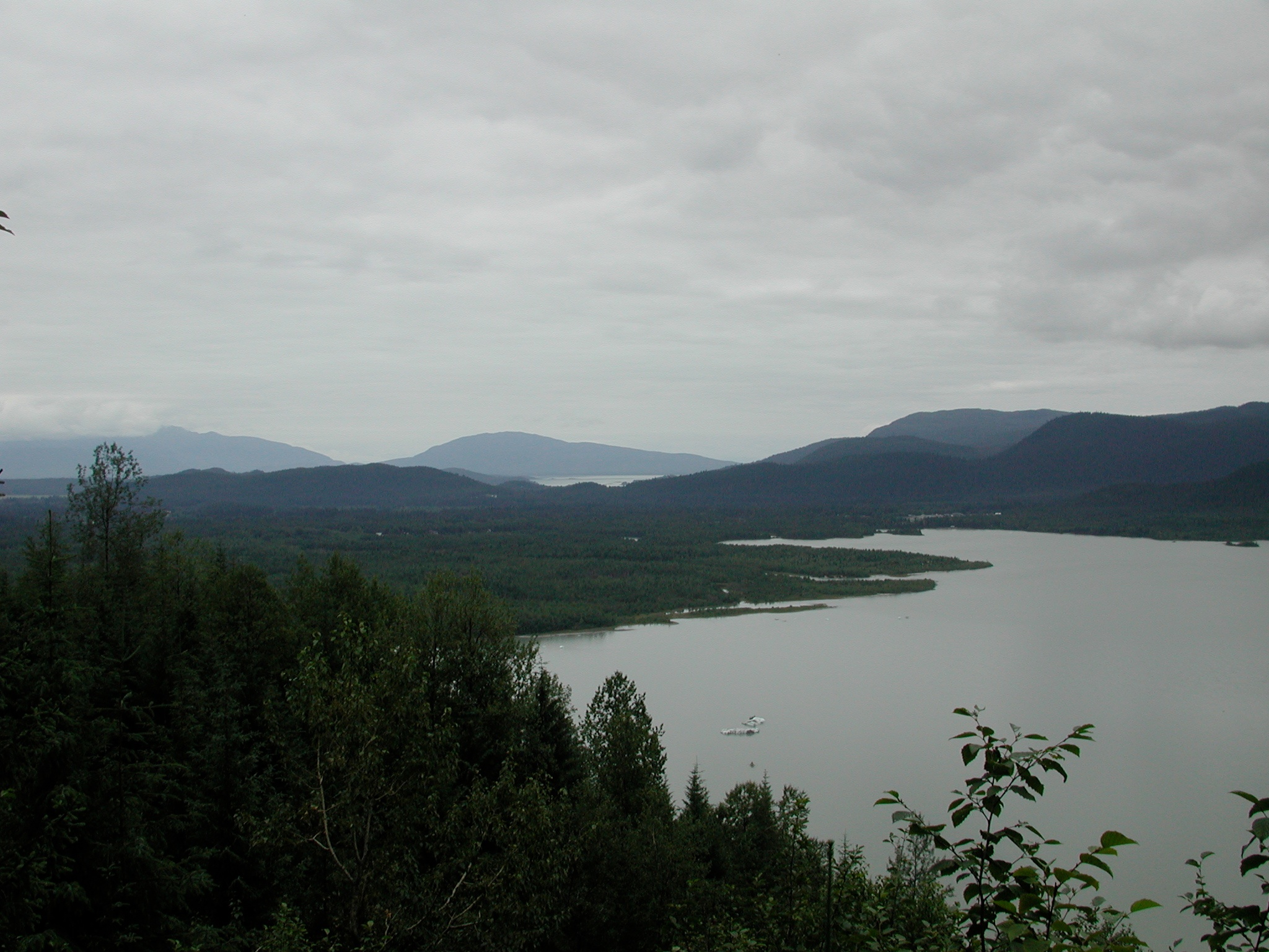
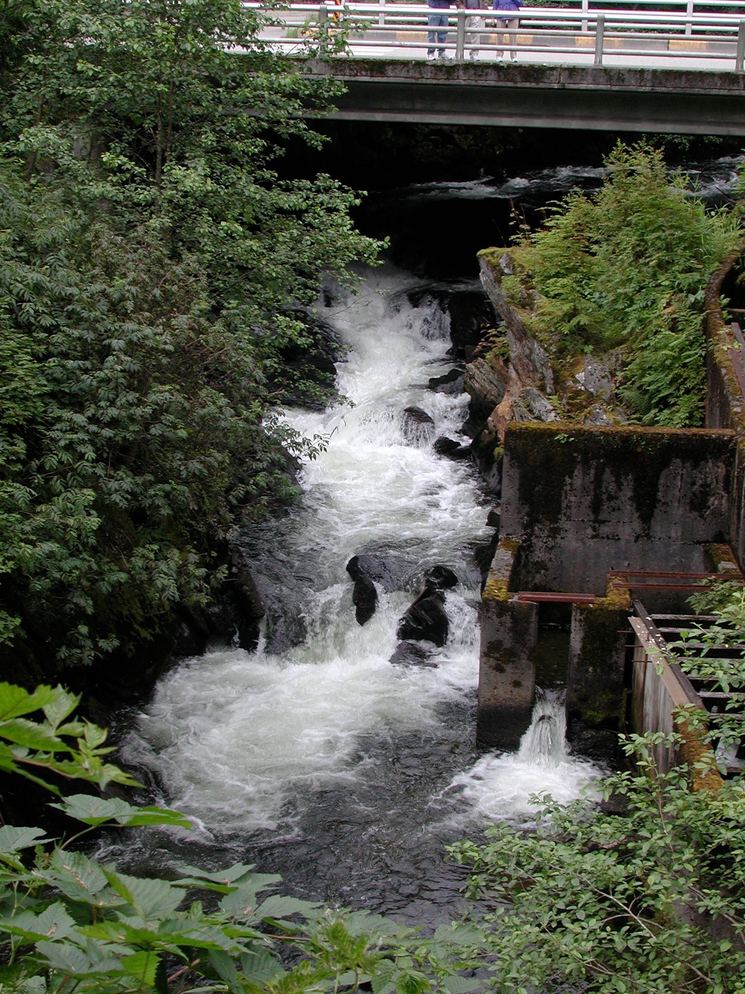
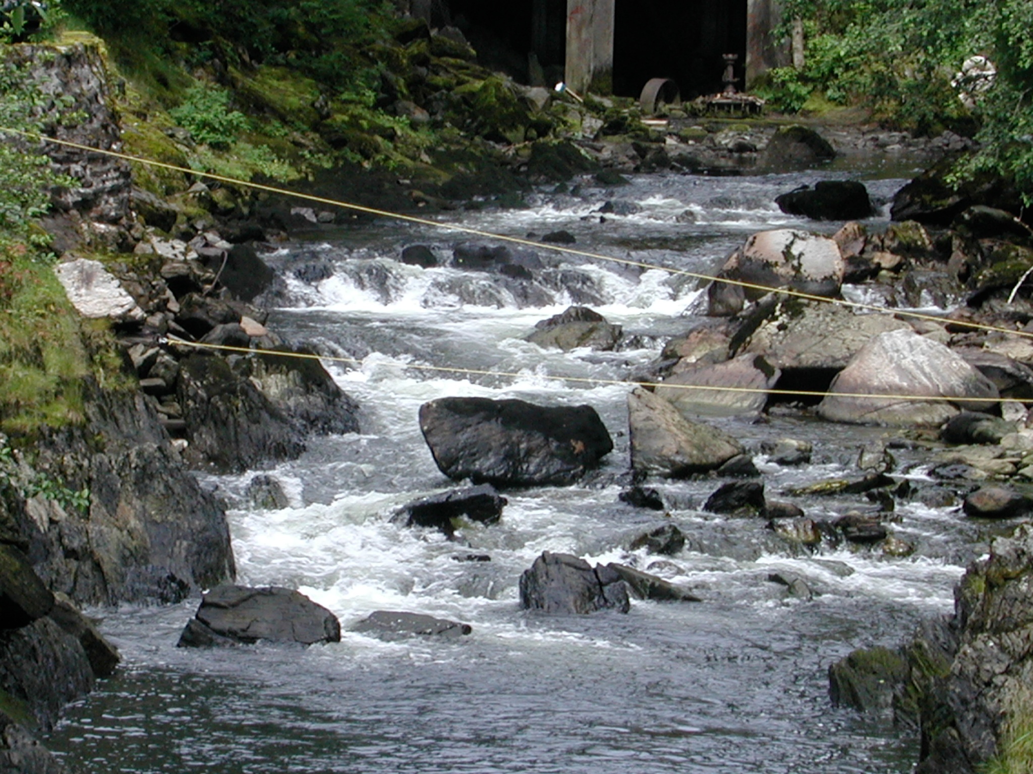
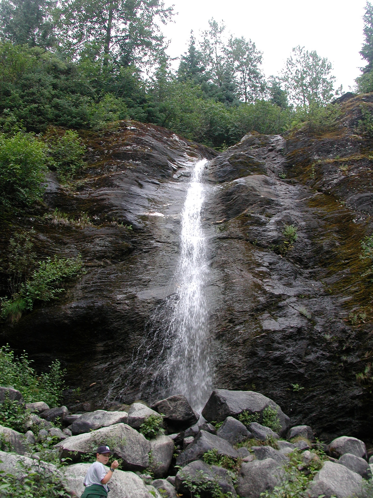
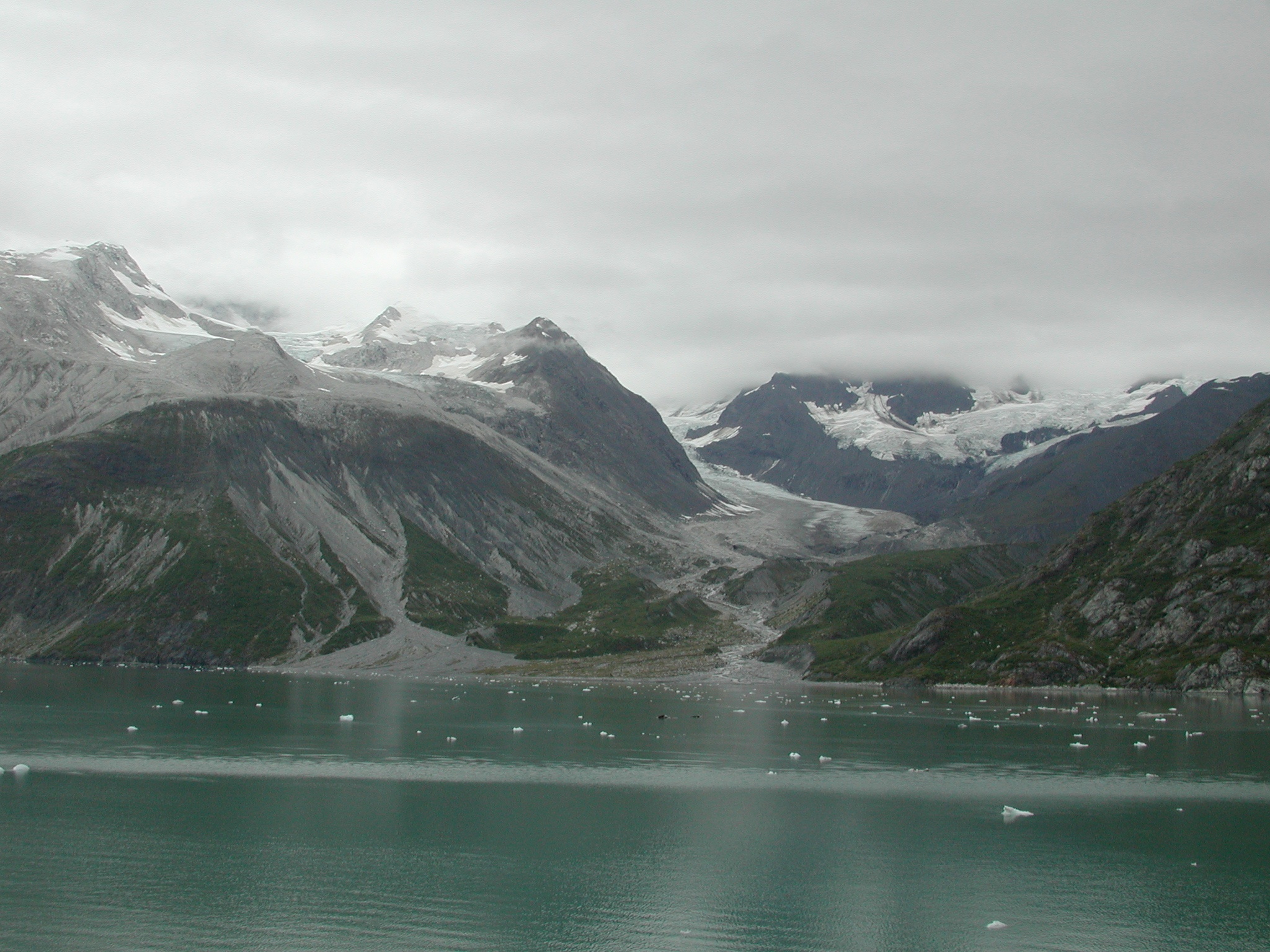
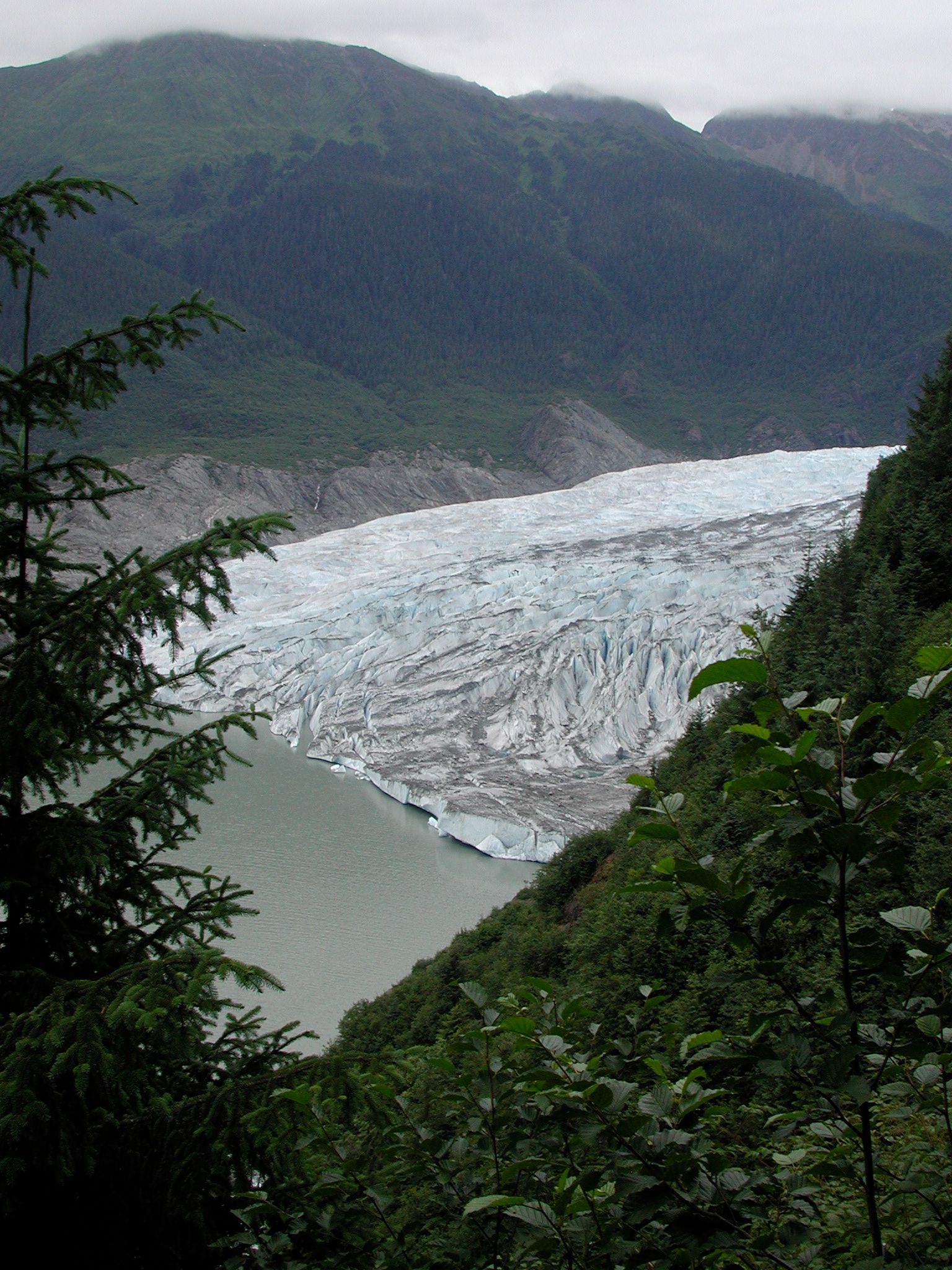
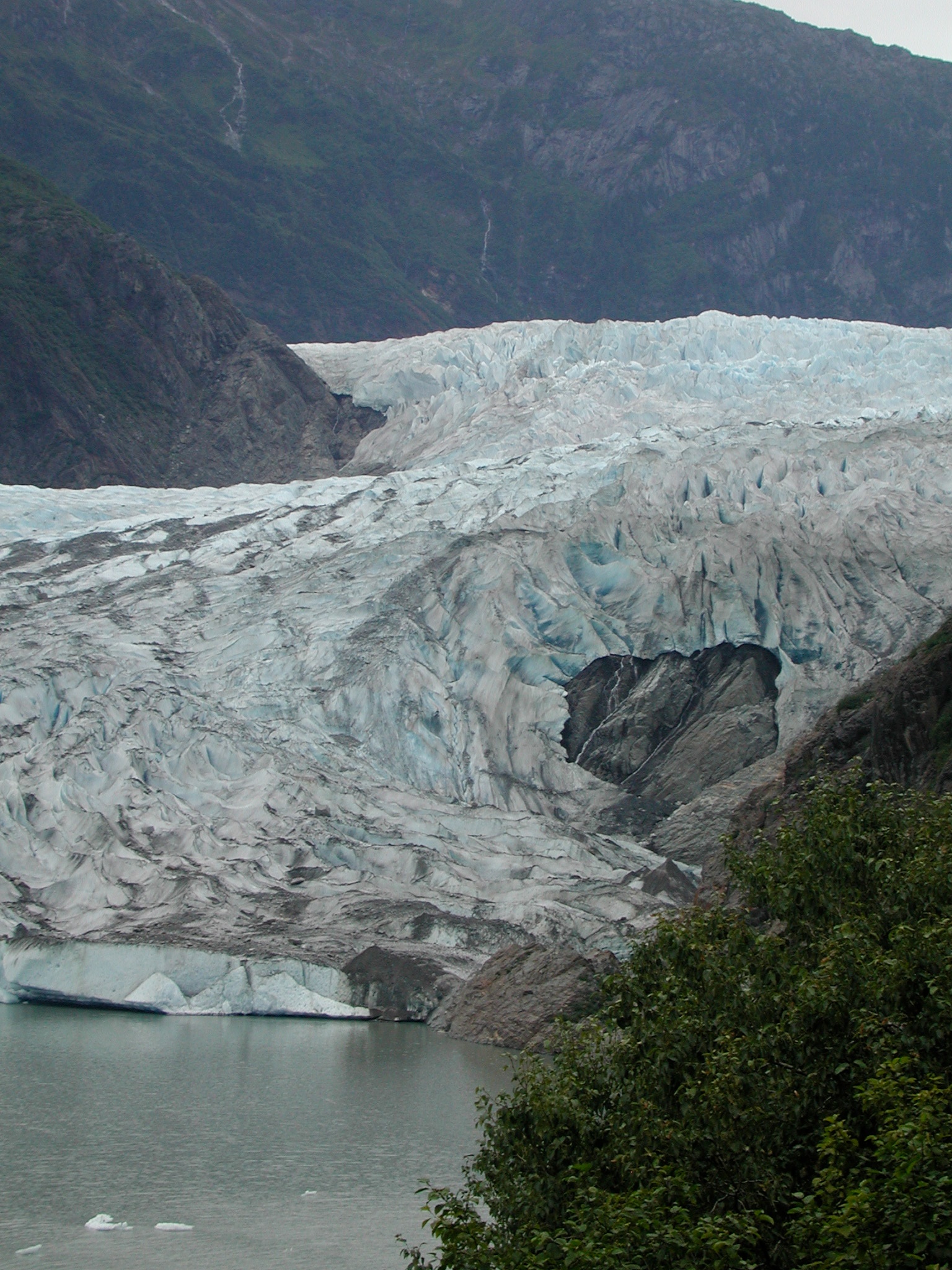
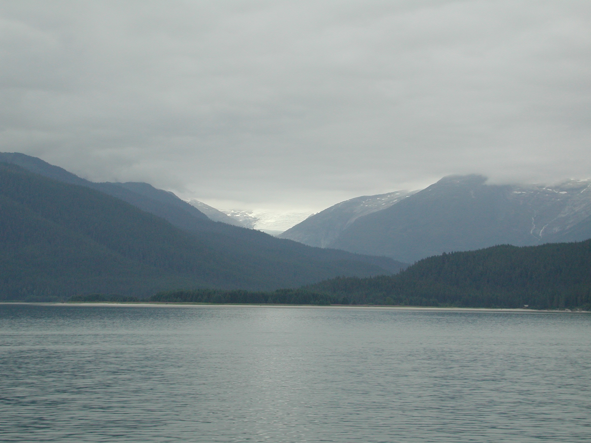
Related Photos:
Topographic Map of Melozitna River, Alaska, USA
Find elevation by address:

Places near Melozitna River, Alaska, USA:
Recent Searches:
- Elevation of Royal Ontario Museum, Queens Park, Toronto, ON M5S 2C6, Canada
- Elevation of Groblershoop, South Africa
- Elevation of Power Generation Enterprises | Industrial Diesel Generators, Oak Ave, Canyon Country, CA, USA
- Elevation of Chesaw Rd, Oroville, WA, USA
- Elevation of N, Mt Pleasant, UT, USA
- Elevation of 6 Rue Jules Ferry, Beausoleil, France
- Elevation of Sattva Horizon, 4JC6+G9P, Vinayak Nagar, Kattigenahalli, Bengaluru, Karnataka, India
- Elevation of Great Brook Sports, Gold Star Hwy, Groton, CT, USA
- Elevation of 10 Mountain Laurels Dr, Nashua, NH, USA
- Elevation of 16 Gilboa Ln, Nashua, NH, USA