Elevation of Airport Blvd, Thermal, CA, USA
Location: United States > California > Riverside County > Thermal >
Longitude: -116.17755
Latitude: 33.642826
Elevation: -31m / -102feet
Barometric Pressure: 102KPa
Elevation Map:
Satellite Map:
Related Photos:

Morning Sunrise Clouds_1

Morning Sunrise Clouds_2

Sunrise 11_8_2010

#Pretty #Sunset over the #golfcourse in #psp #laquinta #palmtrees #view #sun #sky #beautiful #palm
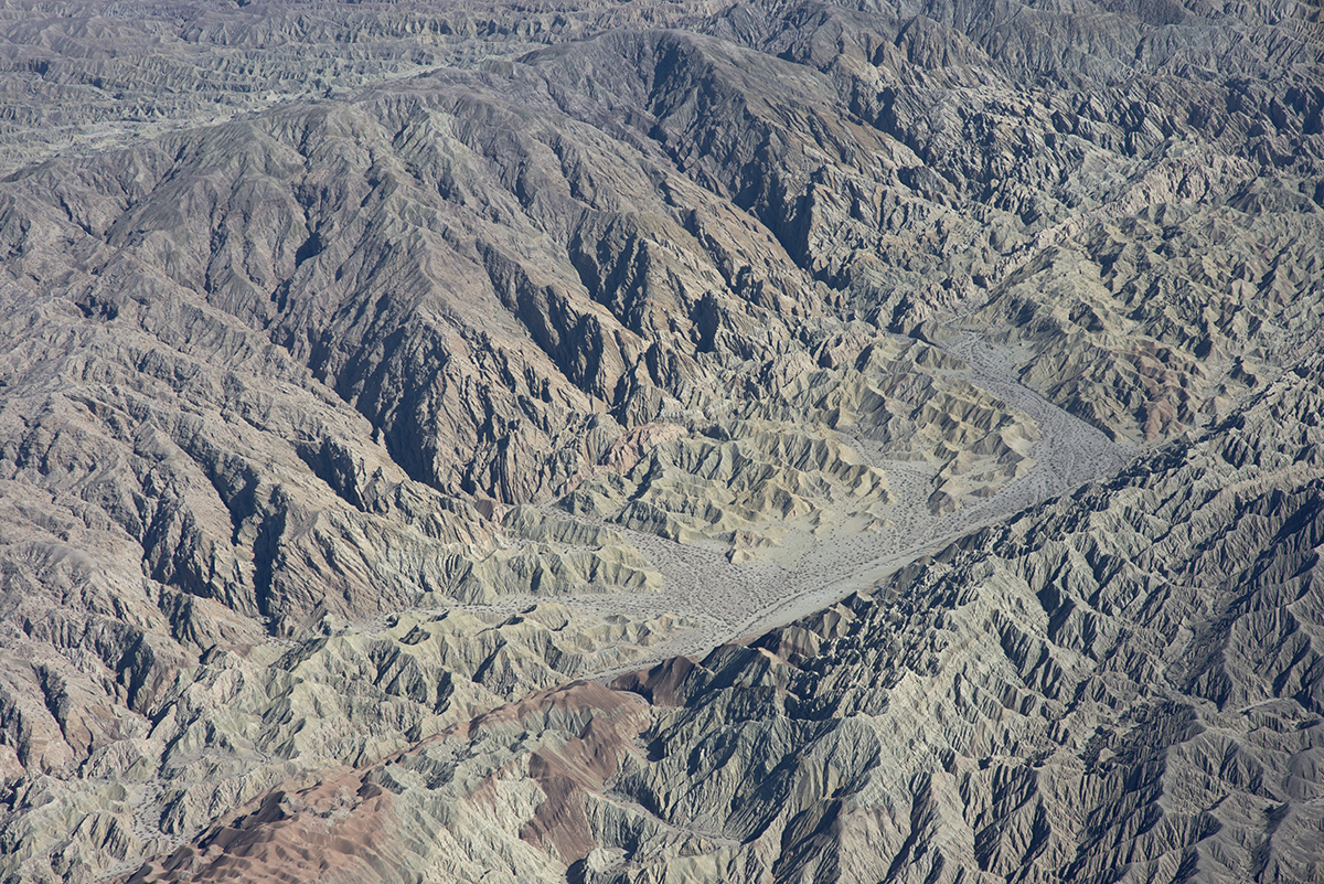
Above the San Andreas and Skeleton Canyon Faults, Mecca Hills, Riverside County, California
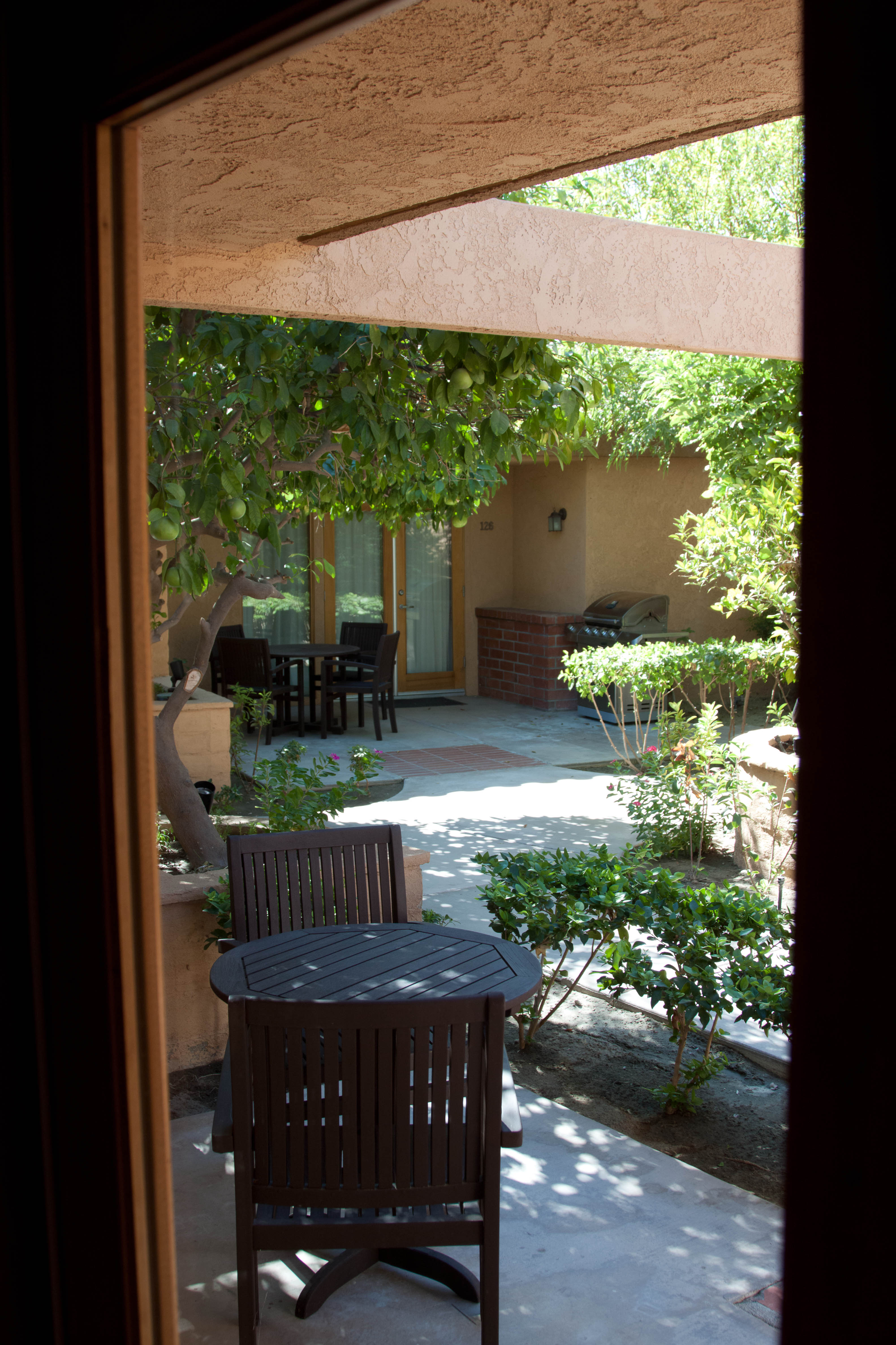
View from apartment at The Dunes

Above Indio, Riverside County, California
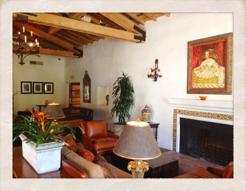
La Quinta Resort & Club
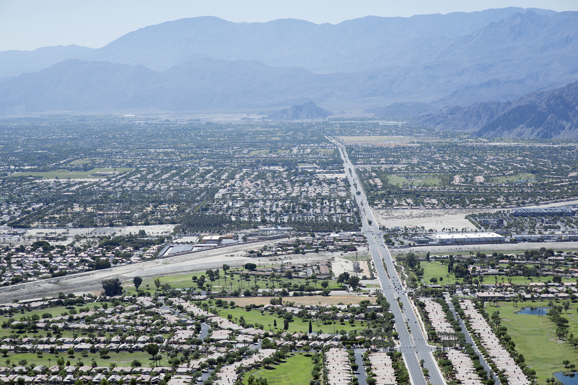
Aerial view to south, along Jefferson Street, Indio and La Quinta, California

Mother Nature vs. Pole Power

"First on Street Light"
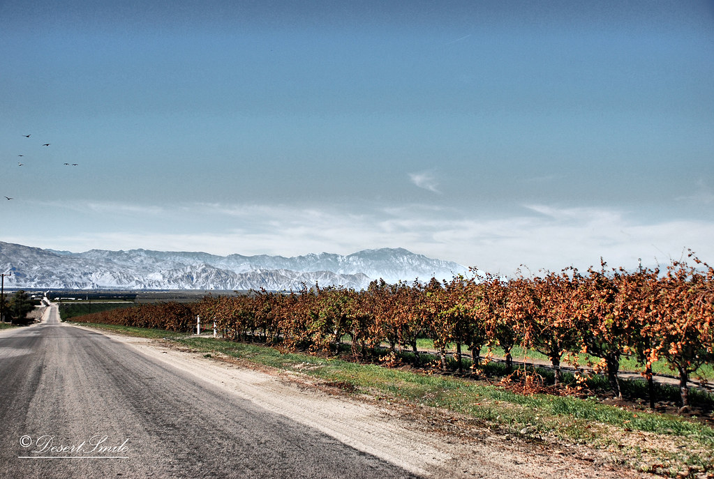
End of Harvest

Balloons and American Flag (Image Preservation Project)

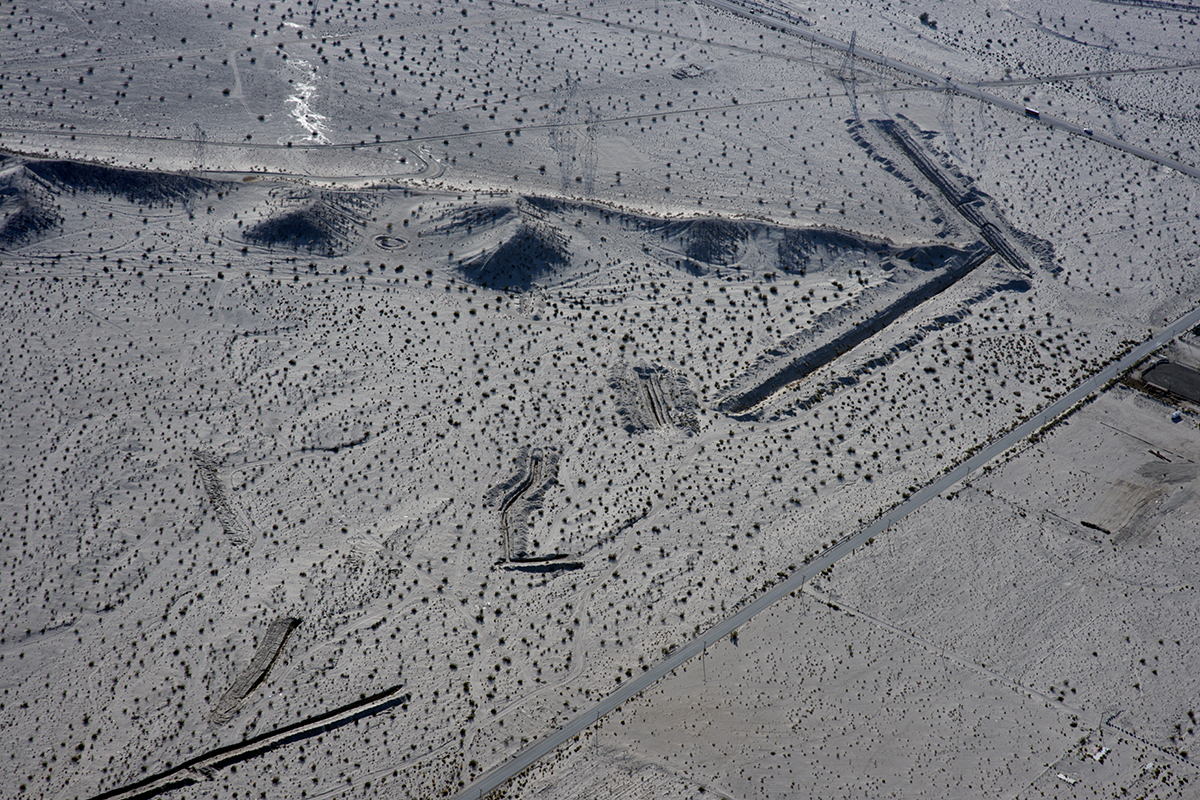
Above Granite Construction Quarry, Indio, Riverside County, California

the view from the condo #teamtwerkchella
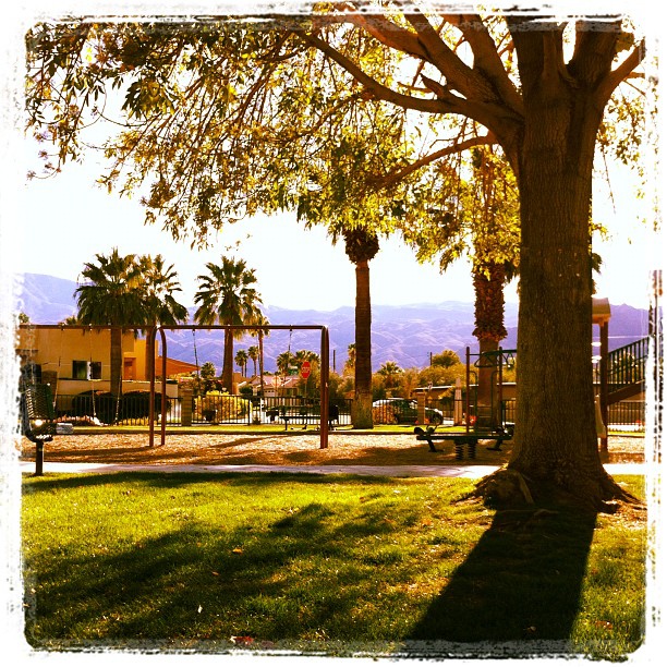
February, and this is my view at the park. In short sleeves. No complaint here.

Glamorous M83 view!
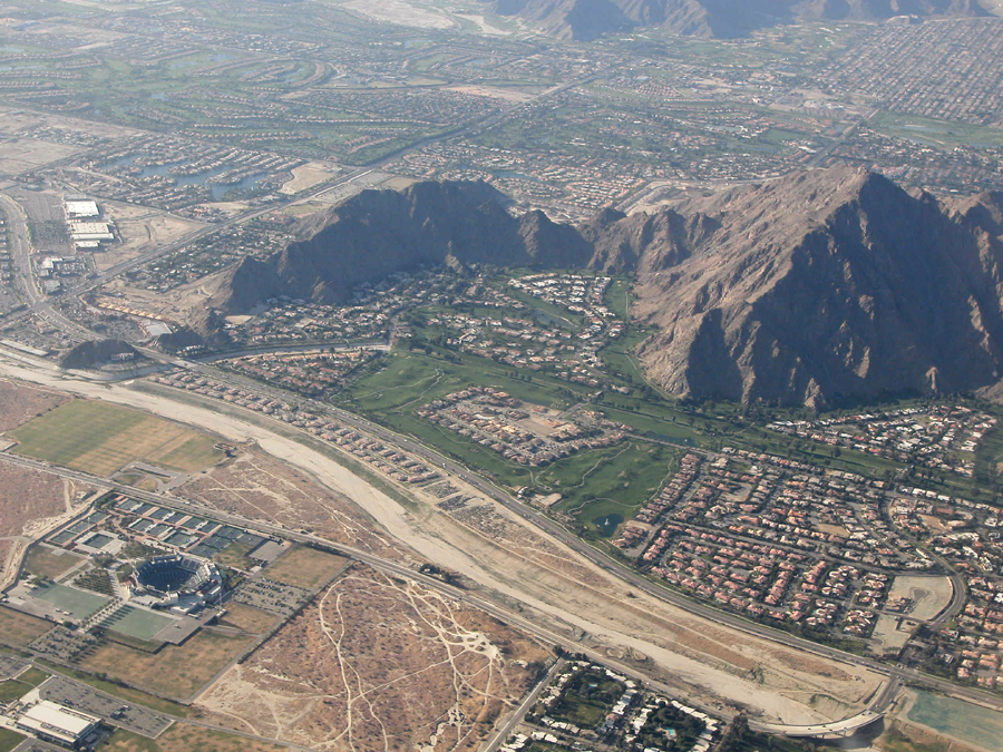
Above Indian Wells, La Quinta, Point Happy, and the Indian Wells Tennis Garden, Riverside County, California
An arrow in the sand, Riverside County, California

Fairgrounds looking south

Above intersection of I-10 and Highway 86, Indio and Coachella, California

Imagined Landscape VIII

Fox Tails

Life & Death

Separate from you

Landscape 06.12.12

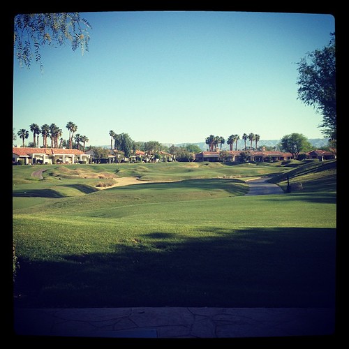
Danbo Ready to Tee Off

Days End at The American Canal

Also desert farm

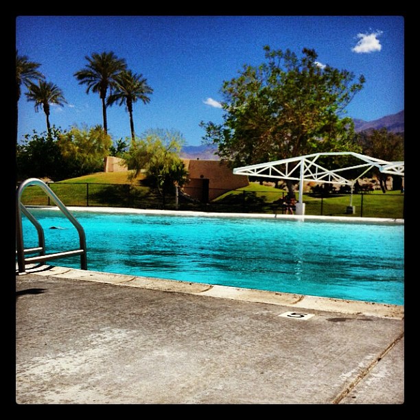
Another beautiful day in Coachella Valley

Sand Lot, Indio
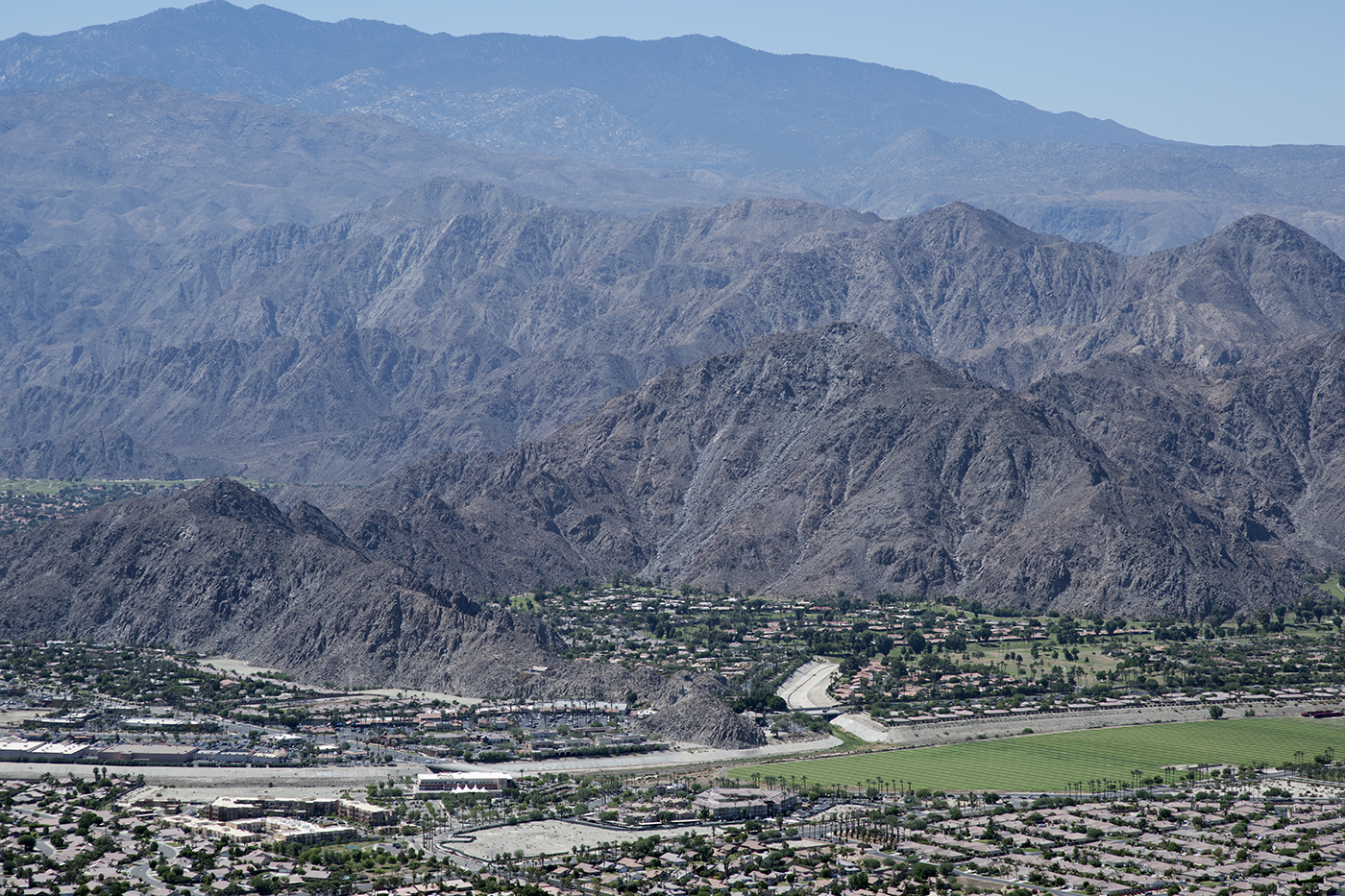
Aerial view of Point Happy, Whitewater River, and Santa Rosa Ranges, Coachella Valley, California

Photo Stream

January 2013 Landscape II

Desert / Rock / Landscape 05.30.12

1000 feet. Coachella and mathematics.
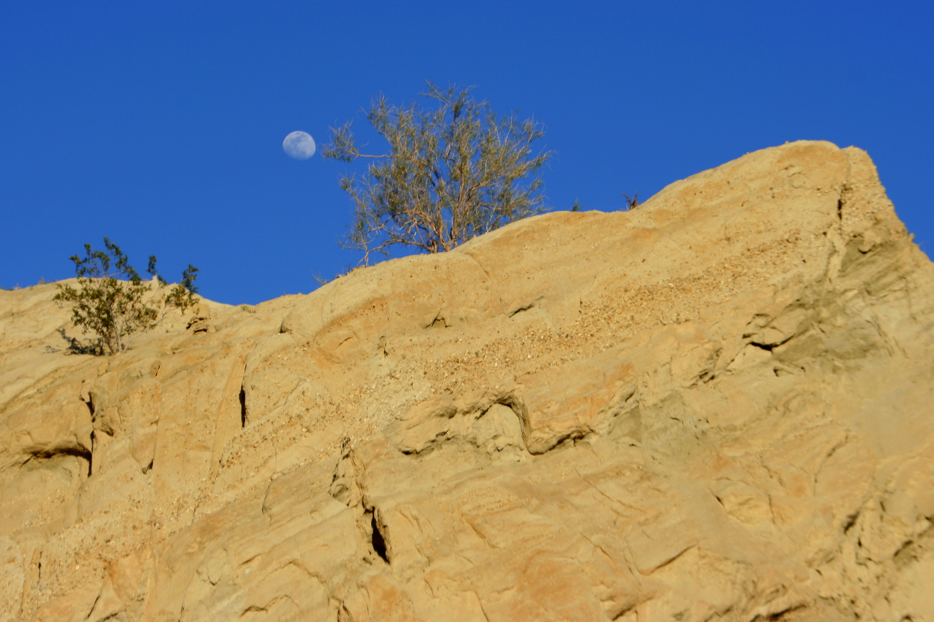
Moon rock 2
Good morning!
"Oasis" at the end of the trail...

IMG_0158.JPG
Dillon Rd. Coachella, CA
Topographic Map of Airport Blvd, Thermal, CA, USA
Find elevation by address:

Places near Airport Blvd, Thermal, CA, USA:
86911 58th Ave
1377 6th St
Thermal
Grapefruit Blvd, Coachella, CA, USA
Coachella
61605 Goodwood Drive
48550 El Arco St
81235 Muirfield Village
81835 Prism Dr
82389 Samantha Ct
Coachella Valley Music And Arts Festival
49817 Mclaine Dr
61730 Mesa Ct
81318 Peary Pl
61063 Fire Barrel Dr
54001 Madison St
57559 Santa Rosa Trail
57669 Santa Rosa Trail
57669 Santa Rosa Trail
Smoketree Apartments
Recent Searches:
- Elevation of Congressional Dr, Stevensville, MD, USA
- Elevation of Bellview Rd, McLean, VA, USA
- Elevation of Stage Island Rd, Chatham, MA, USA
- Elevation of Shibuya Scramble Crossing, 21 Udagawacho, Shibuya City, Tokyo -, Japan
- Elevation of Jadagoniai, Kaunas District Municipality, Lithuania
- Elevation of Pagonija rock, Kranto 7-oji g. 8"N, Kaunas, Lithuania
- Elevation of Co Rd 87, Jamestown, CO, USA
- Elevation of Tenjo, Cundinamarca, Colombia
- Elevation of Côte-des-Neiges, Montreal, QC H4A 3J6, Canada
- Elevation of Bobcat Dr, Helena, MT, USA