Elevation of Coachella, CA, USA
Location: United States > California > Riverside County >
Longitude: -116.17389
Latitude: 33.6803003
Elevation: -21m / -69feet
Barometric Pressure: 102KPa
Elevation Map:
Satellite Map:
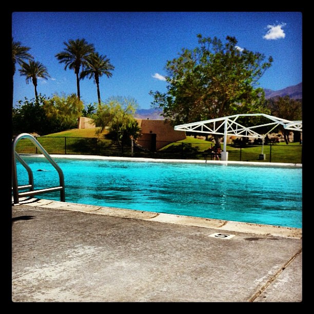
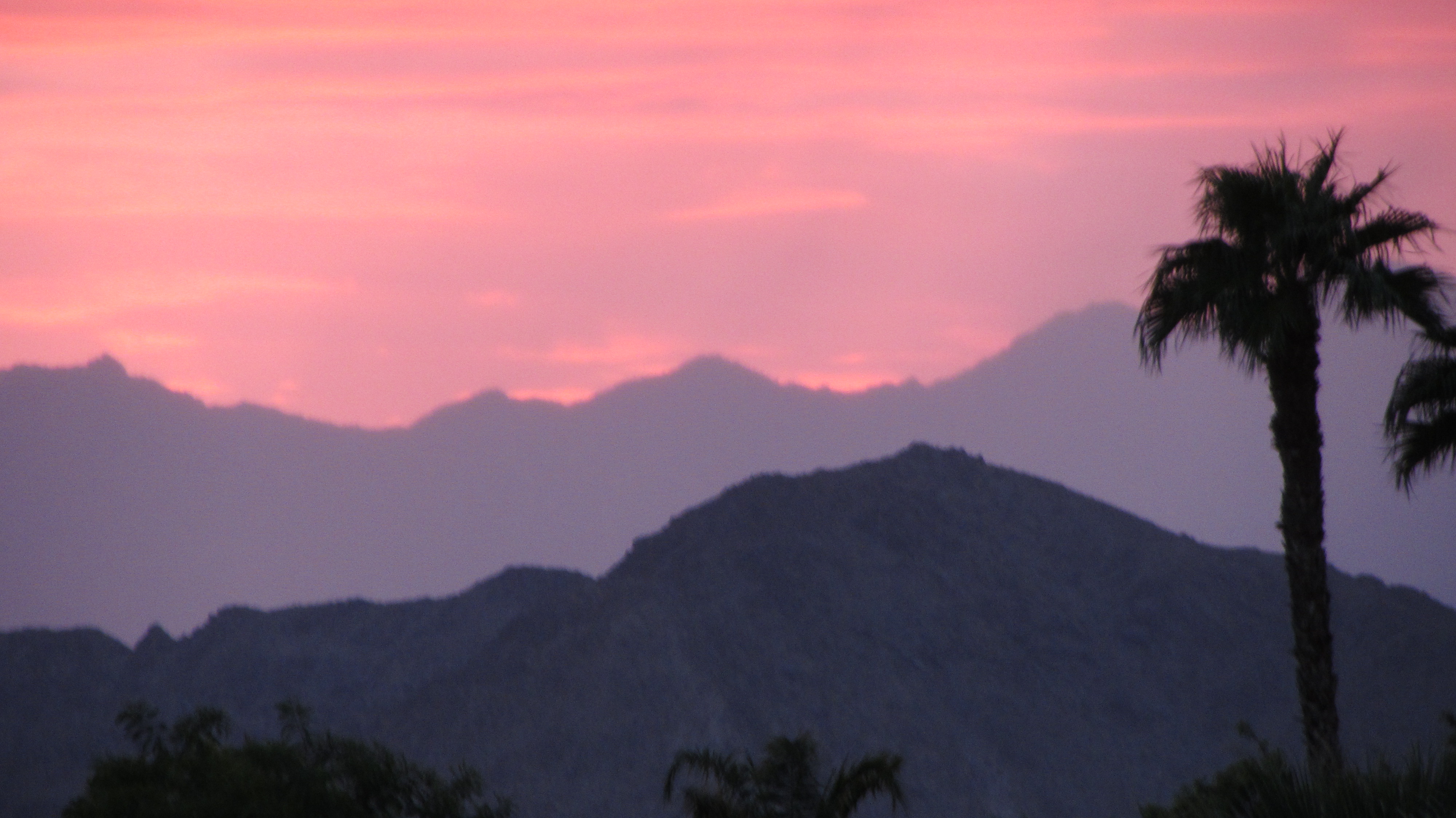
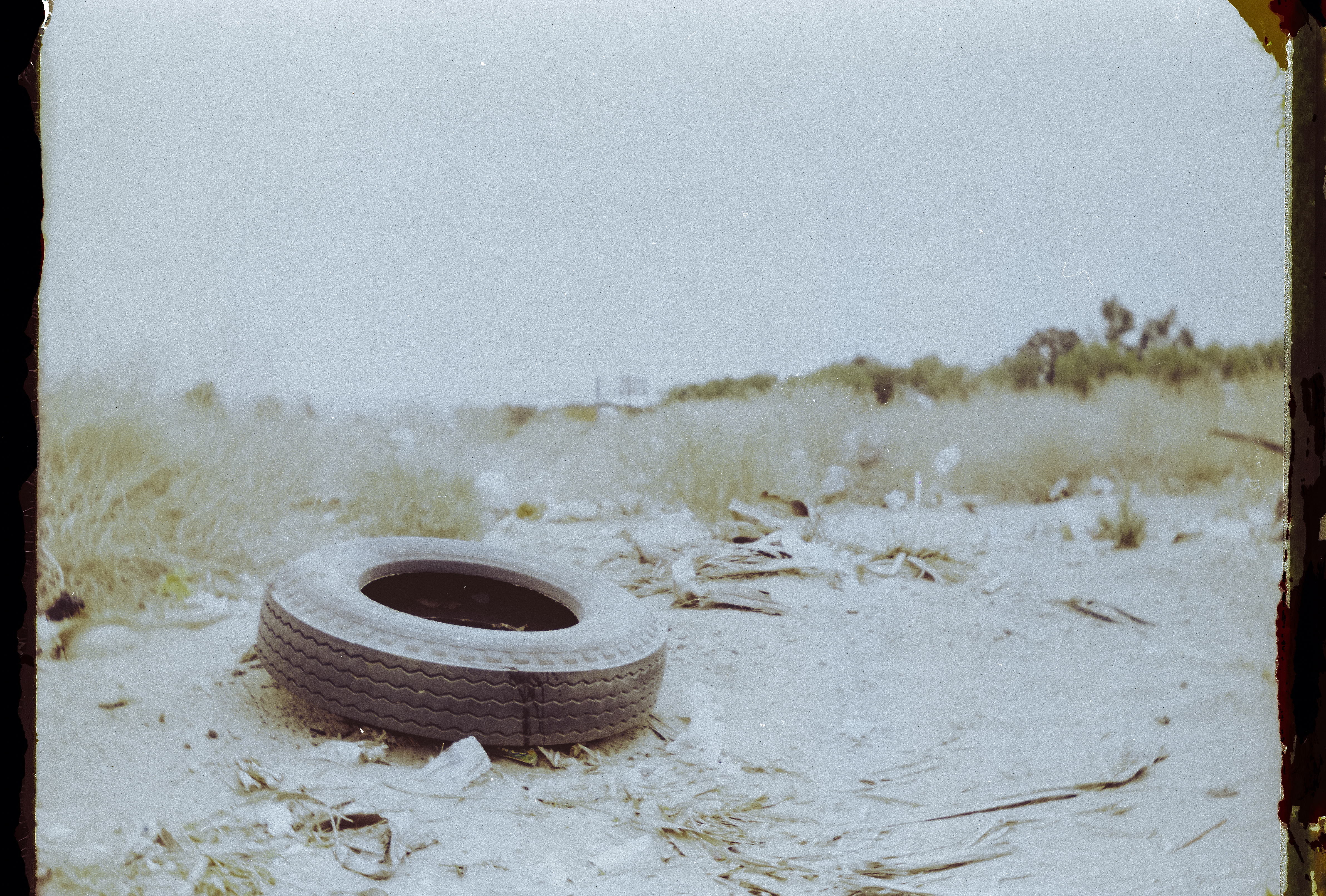
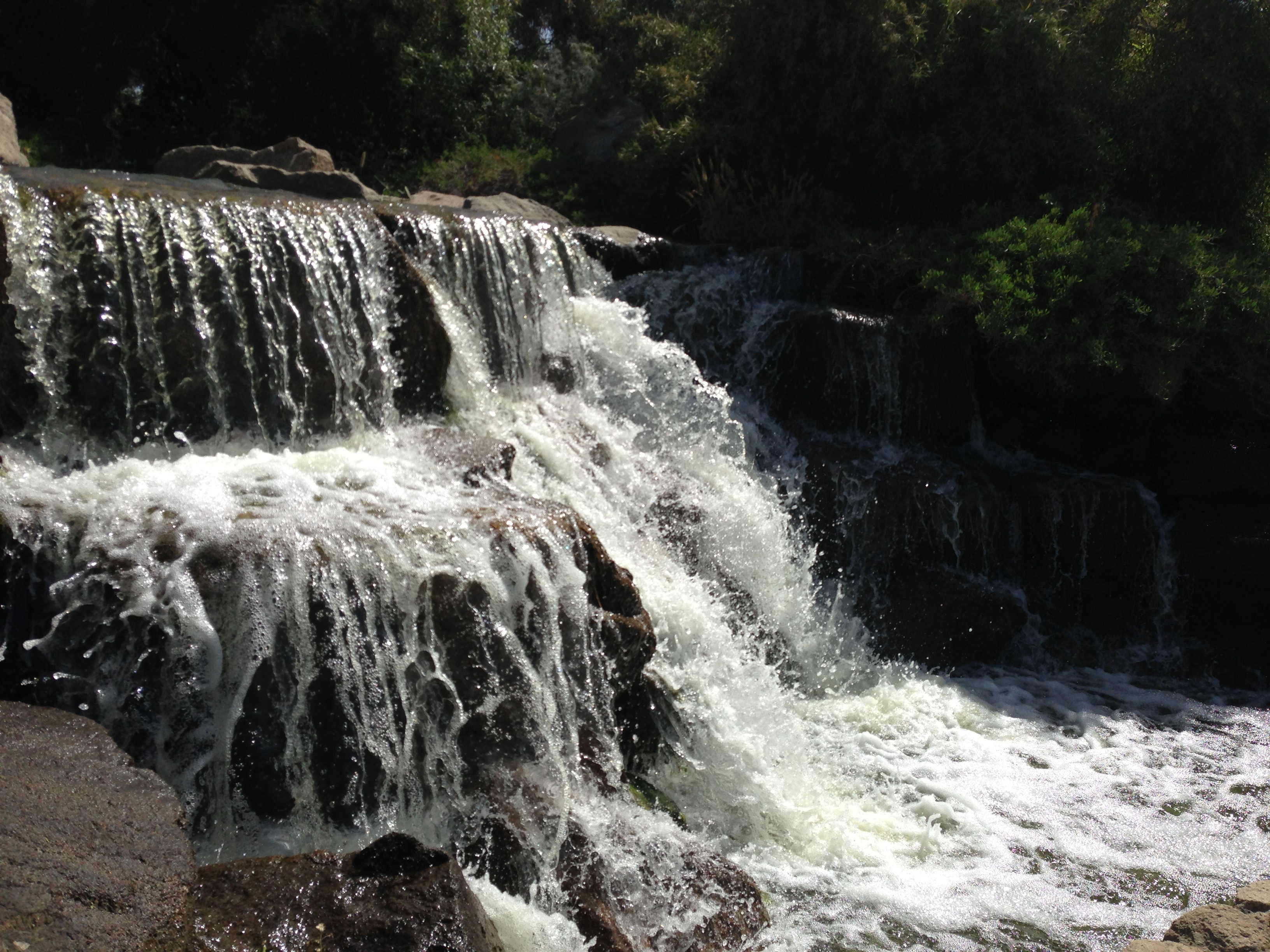
Related Photos:

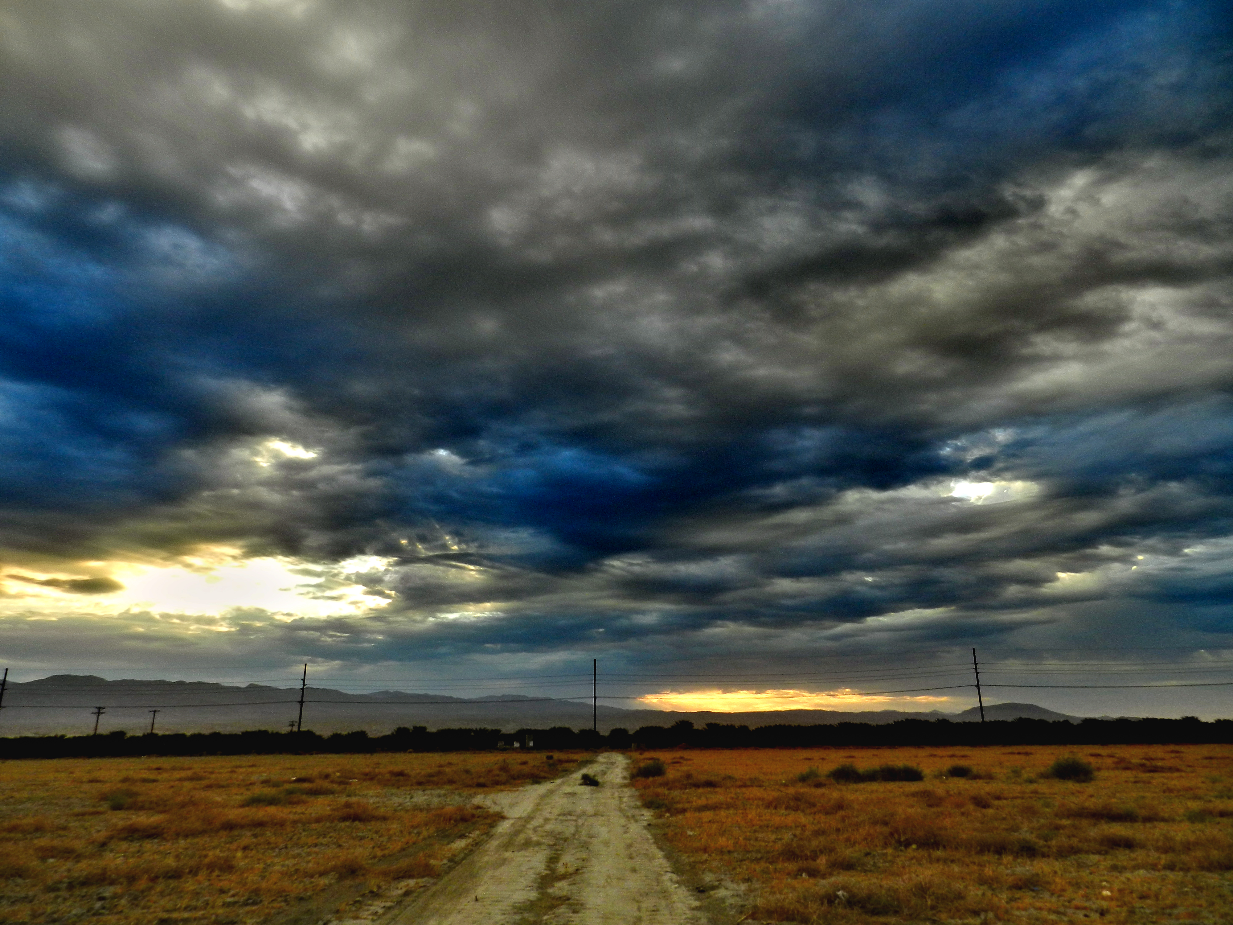
Morning Sunrise Clouds_1
Sky View

Morning Sunrise Clouds_2

Mother Nature vs. Pole Power

Sunrise 11_8_2010

"First on Street Light"
Brunch view
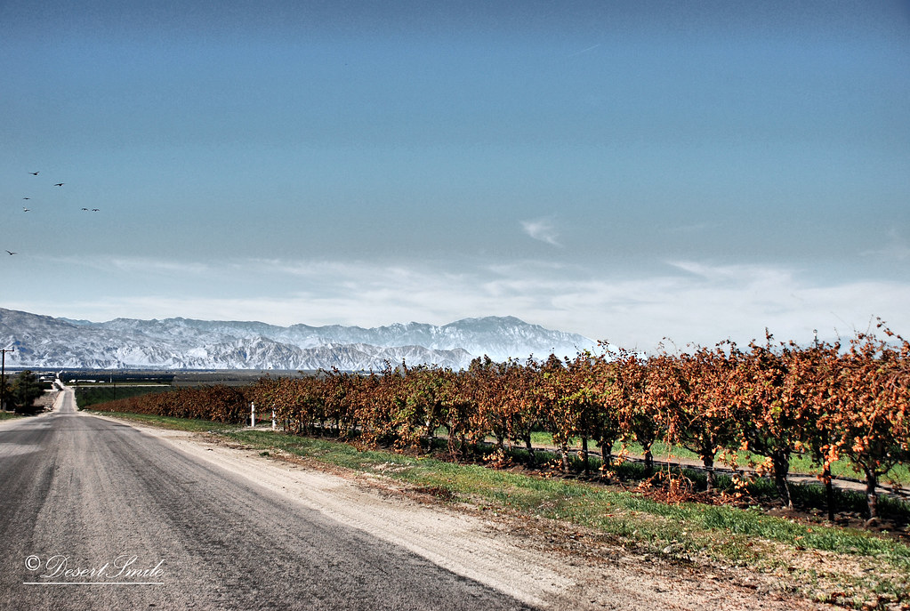
End of Harvest

Balloons and American Flag (Image Preservation Project)

Thermal Airshow

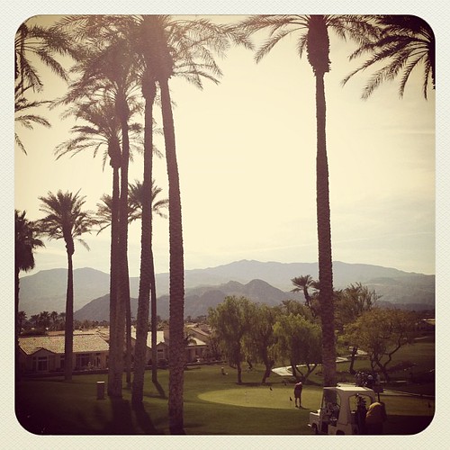
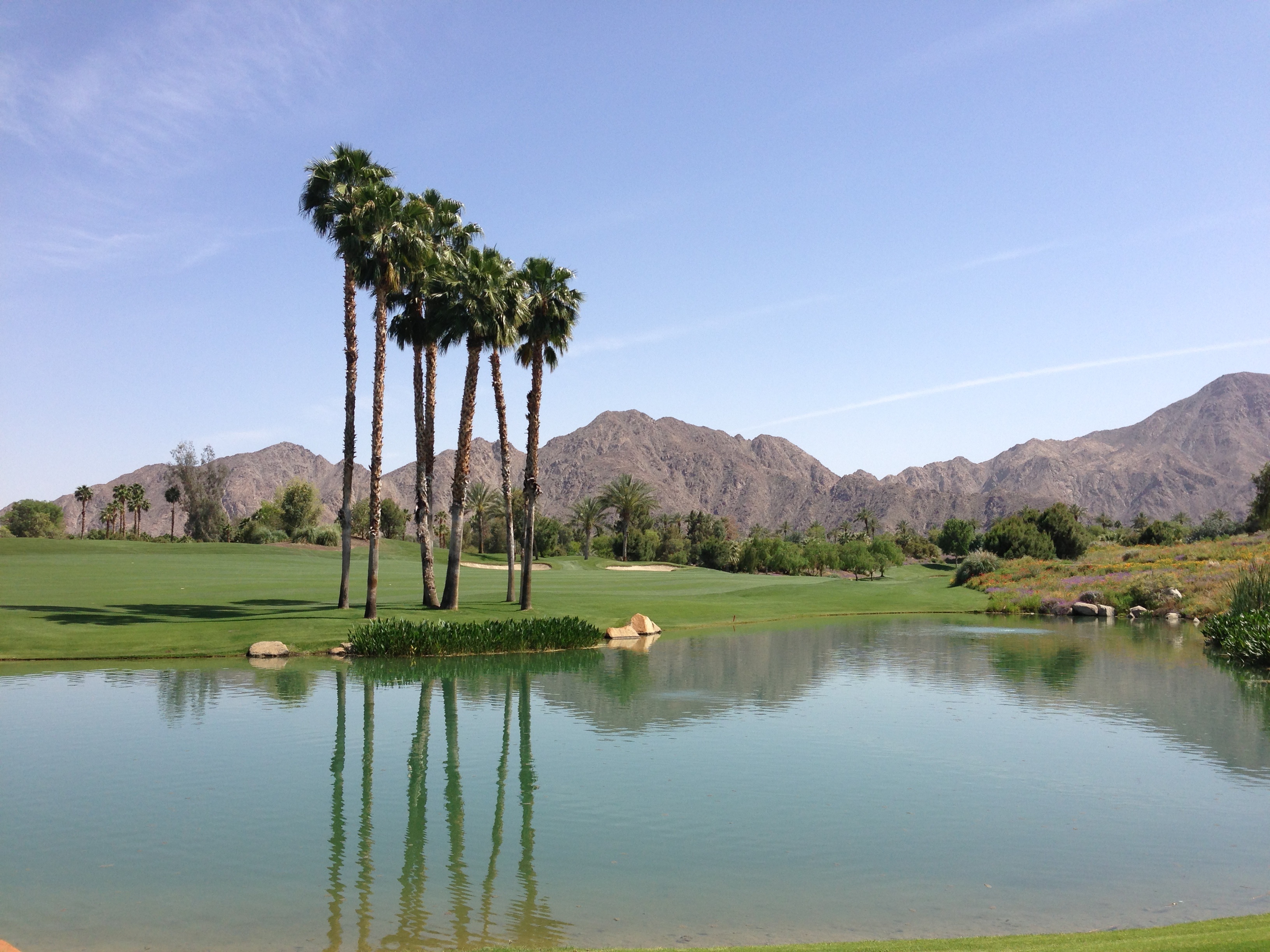
#Pretty #Sunset over the #golfcourse in #psp #laquinta #palmtrees #view #sun #sky #beautiful #palm

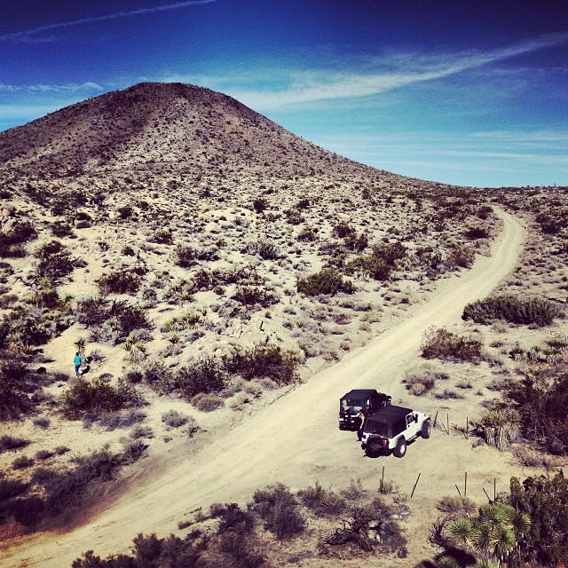
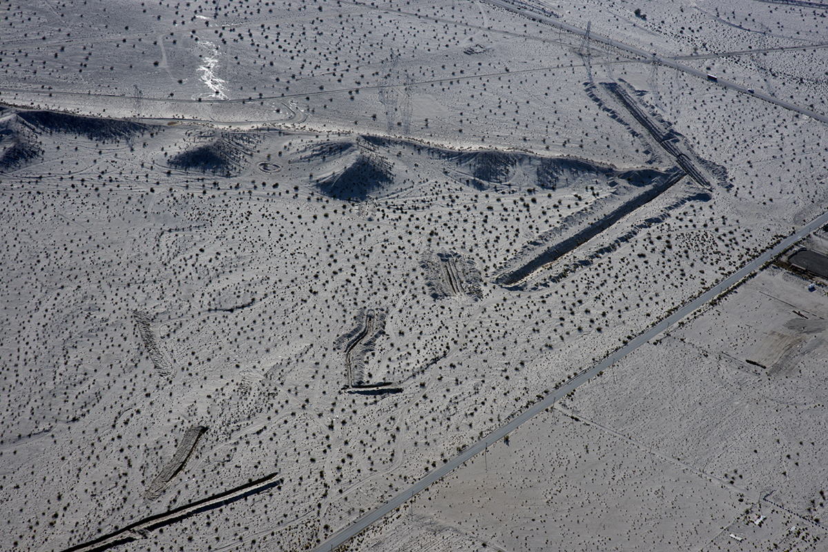
Above Granite Construction Quarry, Indio, Riverside County, California

the view from the condo #teamtwerkchella
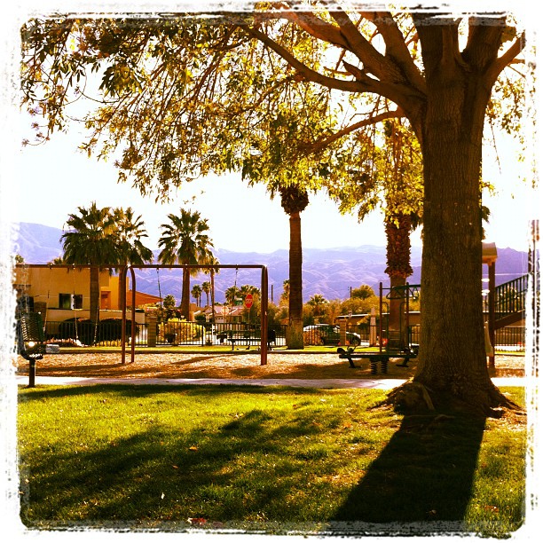
February, and this is my view at the park. In short sleeves. No complaint here.
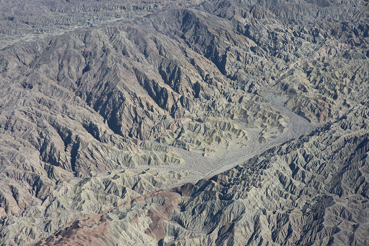
Above the San Andreas and Skeleton Canyon Faults, Mecca Hills, Riverside County, California

Glamorous M83 view!
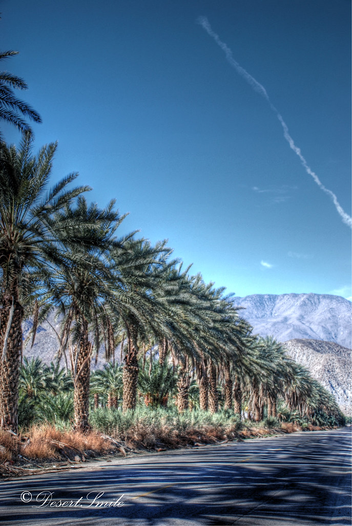
Palm Shadows
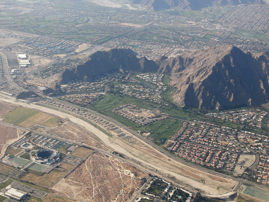
Above Indian Wells, La Quinta, Point Happy, and the Indian Wells Tennis Garden, Riverside County, California
An arrow in the sand, Riverside County, California

Fairgrounds looking south
Aerial view of Point Happy and the Indian Wells Tennis Garden, Coachella Valley, California

Imagined Landscape VIII
Photo Stream
Fox Tails

January 2013 Landscape II
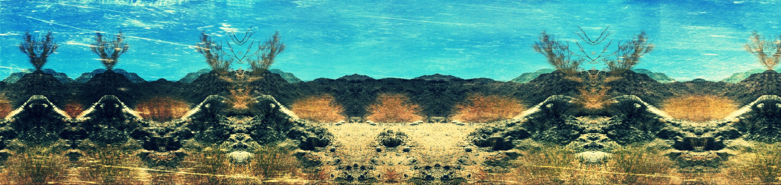
Digital Impressions Of A Western Landscape II

Desert / Rock / Landscape 05.30.12
Life & Death

Separate from you
Landscape 06.12.12

Danbo Ready to Tee Off

II Landscape 02.18.12

1000 feet. Coachella and mathematics.

Days End at The American Canal
Good morning!
2013-April-23 at 7-36-AM-LA(33.724)-LO(-116.338)
"Oasis" at the end of the trail...
IMG_0158.JPG

Desert Hot Air Balloons - 35mm scan

#Sunset from the cart path
Dillon Rd. Coachella, CA
2013-April-23 at 8-00-AM-LA(33.722)-LO(-116.337)-1
Topographic Map of Coachella, CA, USA
Find elevation by address:

Places in Coachella, CA, USA:
Places near Coachella, CA, USA:
Grapefruit Blvd, Coachella, CA, USA
1377 6th St
Airport Blvd, Thermal, CA, USA
48550 El Arco St
Thermal
43509 Adria Dr
82389 Samantha Ct
Indio, CA, USA
85132 Stazzano Pl
Indio
49817 Mclaine Dr
86911 58th Ave
42900 Golf Center Pkwy
Coachella Valley Music And Arts Festival
Smoketree Apartments
Indio, CA, USA
43715 Jackson St
San Salvador, Indio, CA, USA
83331 Skyline Trail Rd
81318 Peary Pl
Recent Searches:
- Elevation of W Granada St, Tampa, FL, USA
- Elevation of Pykes Down, Ivybridge PL21 0BY, UK
- Elevation of Jalan Senandin, Lutong, Miri, Sarawak, Malaysia
- Elevation of Bilohirs'k
- Elevation of 30 Oak Lawn Dr, Barkhamsted, CT, USA
- Elevation of Luther Road, Luther Rd, Auburn, CA, USA
- Elevation of Unnamed Road, Respublika Severnaya Osetiya — Alaniya, Russia
- Elevation of Verkhny Fiagdon, North Ossetia–Alania Republic, Russia
- Elevation of F. Viola Hiway, San Rafael, Bulacan, Philippines
- Elevation of Herbage Dr, Gulfport, MS, USA