Elevation of Prism Dr, La Quinta, CA, USA

Location: United States > California > Riverside County > La Quinta >

Longitude: -116.23629

Latitude: 33.6114933

Elevation: -20m / -66feet

Barometric Pressure: 102KPa

Elevation Map:

elevation map of Prism Dr, La Quinta, CA, USA

Satellite Map:

Satellite map of Prism Dr, La Quinta, CA, USA

Related Photos:

sky color balloons nikon palmsprings americanflag scanned netting 1000views rosieogrady 100comments aplusphoto colourartaward betterthangood 35mmkodachrome gordonbennettballoonracecalifornia imagepreservationproject
Balloons and American Flag (Image Preservation Project)
Desert Views
california road blackandwhite bw mountains clouds landscape nikon view socal southerncalifornia curve palmdesert d5000 top30bw
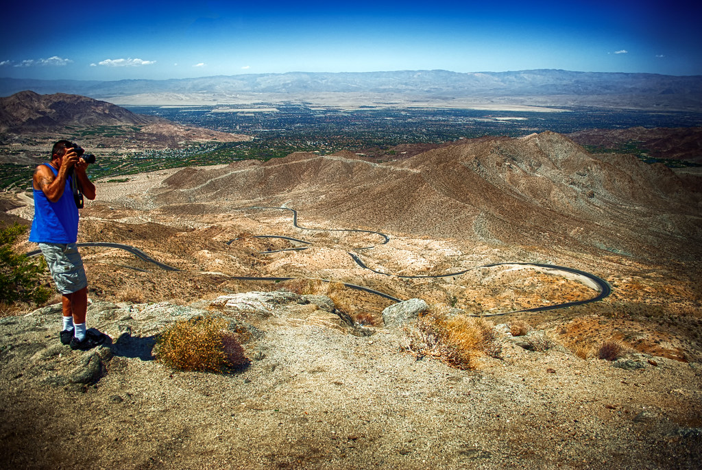
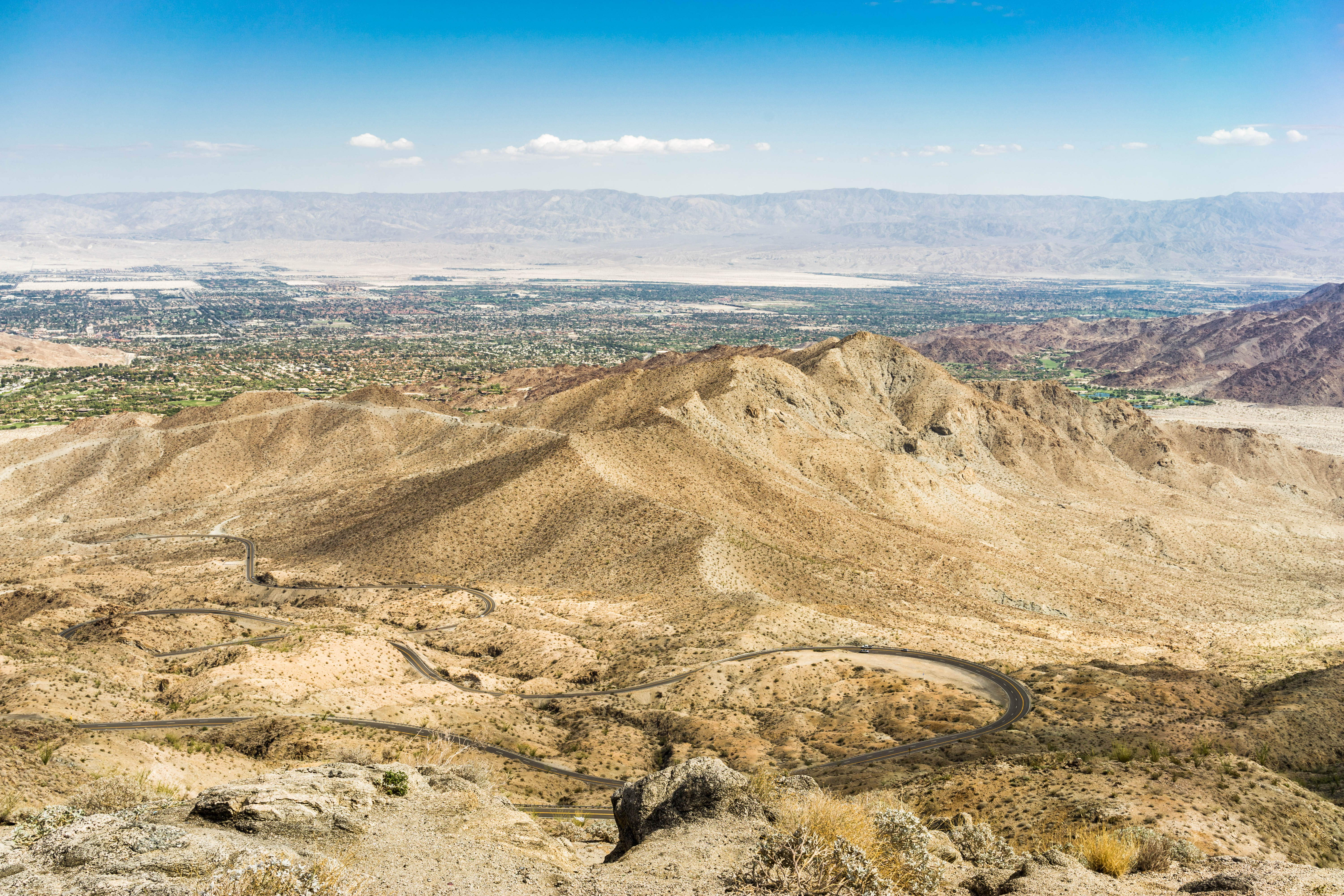
Coachella Valley View Point
california panorama cloud mountain beautiful plaque digital america photoshop botanical nikon palmsprings bluesky criminal socal photograph springs coachellavalley coachella digitalcamera nik southerncalifornia botany santarosa range dhs climate hdr highdynamicrange nationalmonument cliche attraction hdri palmdesert deserthotsprings hypothetical sanjacinto foothill turnout highway74 inlandempire hss hcs hff geographical hds hwy74 palmssprings cangro methinksnot clichesaturday fencedfriday sliderssunday sundaysliders californiacertifiednurseryman
TURNOUT ON HIGHWAY 74
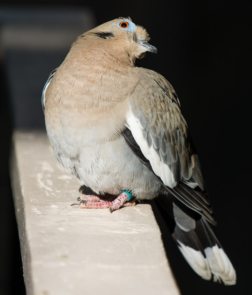
california travel nature goofy birds animals fun zoo funny unitedstates wildlife palmsprings noflash sharp northamerica portfolio february southerncalifornia locations palmdesert wildanimals locale 2014 240mm 70200mmf28 500px iso140 geo:state=california pigeonsanddovescolumbidae whitewingeddovezenaidaasiatica apertureprioritymode hasmetastyletag hascameratype adjectivesfeelingdescription haslenstype selfrating3stars camera:make=nikoncorporation 1400secatf80 geo:city=palmdesert exif:make=nikoncorporation geo:countrys=unitedstates exif:lens=7002000mmf28 nikontc20eiii exif:aperture=ƒ80 subjectdistanceunknown nikond7100 afsnikkor70200mmf28gvrii teleconverterused camera:model=nikond7100 exif:model=nikond7100 february32014 2014travel palmsprings0131201402032014 thelivingdesertzoogardens exif:focallength=240mm geo:lat=3369828172 geo:lon=11637217892 exif:isospeed=140 33°4154n116°2220w palmdesertcaliforniaunitedstates
Whatcha Doin?
california door usa table chairs deck bermudadunes
View from apartment at The Dunes
road mountain nikon view will coachellavalley winding d200 hdr highway74 pinestopalmshighway gatewayto ourdailychallenge hbmike2000
Excuse Me, Your Shoe Lace Is Untied
#Pretty #Sunset over the #golfcourse in #psp #laquinta #palmtrees #view #sun #sky #beautiful #palm
lenticularclouds
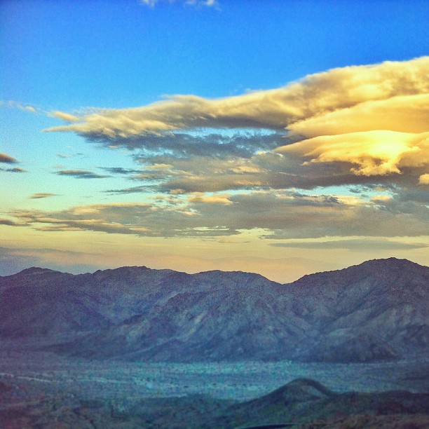
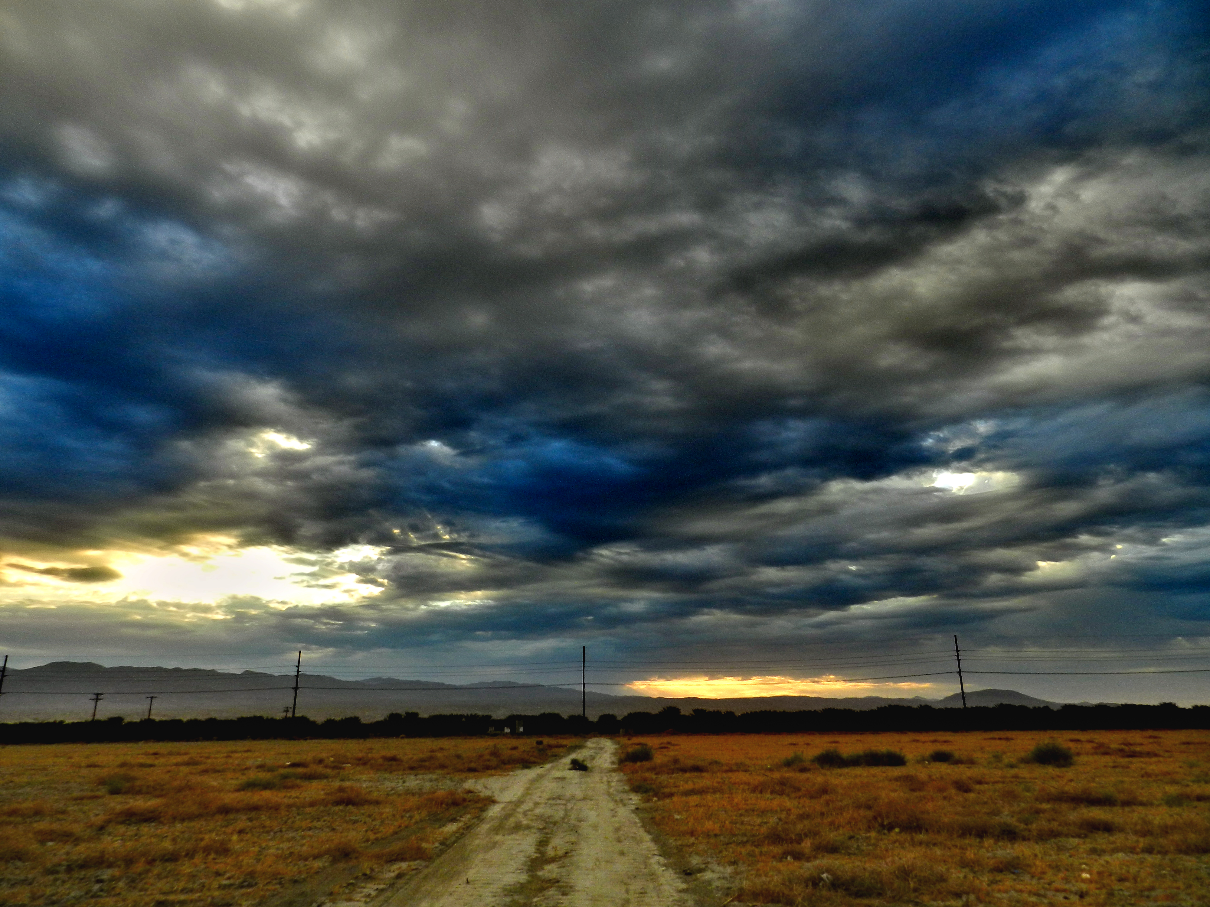
Morning Sunrise Clouds_2
Mother Nature vs. Pole Power
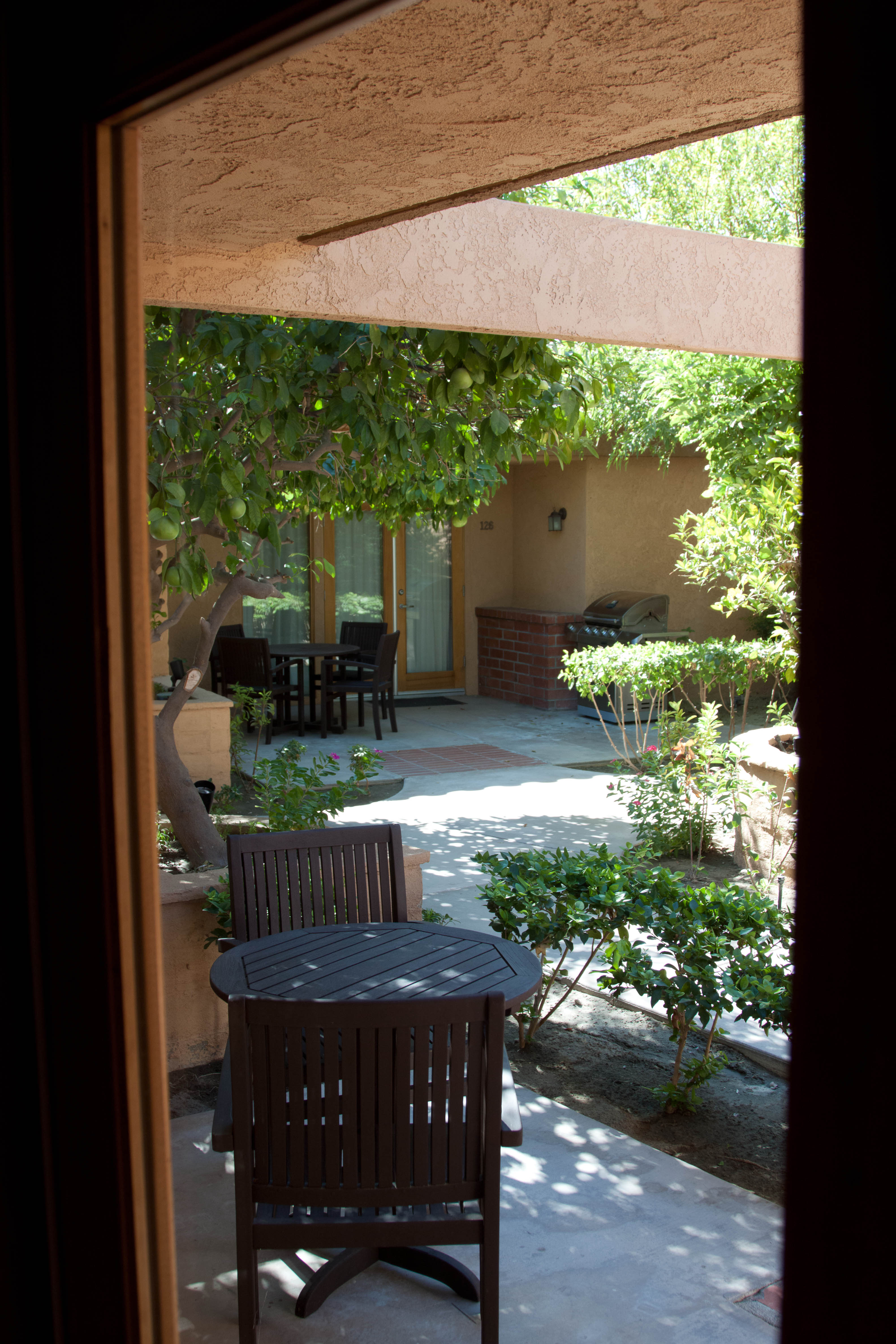
view out the front - Santa Rosa Cove
usa california palmdesert indio palmsprings coachella saltonsea desert landscape panorama
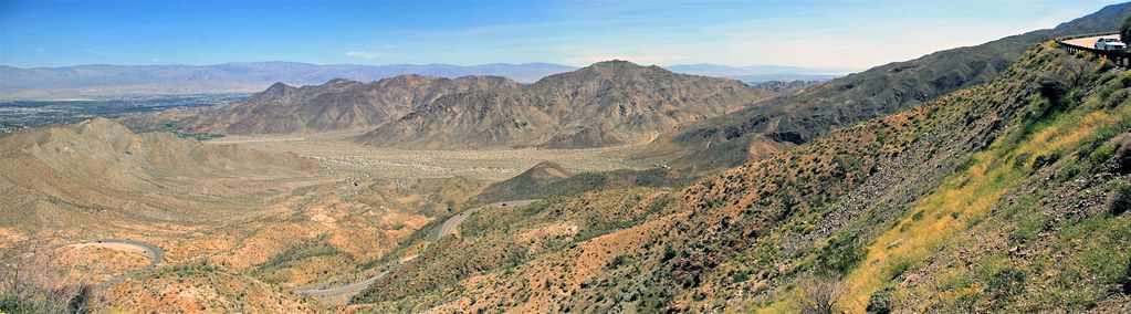
Coachella Valley Panorama
sunrise desertclouds flickraward
Sunrise 11_8_2010
"First on Street Light"
End of Harvest
#Desert #sunset over the #EisenhowerMountains #IndianWells #psp #cactus #view #nofilter #sky #beautiful #palm #palmsprings #sun #colorful #pretty #cool
Hubbs @rigz8 smashing #golfballs #golf #fun #gregnorman #laquinta #pgawest #drivingrange #view #mountain #grass
california nature desert sanandreasfault coachellavalley fault geology sanandreas geomorphology meccahills aerialphotograph coloradodesert riversidecounty redscanyon paintedcanyonfault skeletoncanyonfault
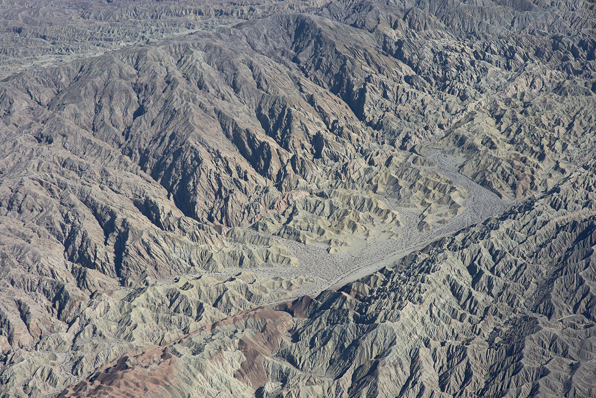
Above the San Andreas and Skeleton Canyon Faults, Mecca Hills, Riverside County, California
square squareformat hudson iphoneography instagramapp uploaded:by=instagram foursquare:venue=4bc7a62614d79521e3d667e9
the view from the condo #teamtwerkchella
square sierra squareformat iphoneography instagramapp uploaded:by=instagram foursquare:venue=4f887ee7e4b04a075dc52a4c
Glamorous M83 view!
tonemapped usa indio bermudadunes party halloween fun horror california costumes costume
Dead's Eye View
blackandwhite landscape pano panorama santarosamountains palmdesert california borregobadlands
Santa Rosa Virga
california mountains clouds landscape highway desert bluesky olympus omd sanjacintomountains m43 sr74 em5 microfourthirds pinestopalms 1250mmf3563mzuiko
Pines to Palms
cheetah africa iran asia cat feline wild big outdoor landscape mountain laying down lounging resting animal mammal two 2 palm tree african endangered captive color
I'm a Cheetah
giraffe animal africa sahara savannah palm tree nature mountain vista shade landscape outdoor grass standing hills mountains
I'm a Giraffe
pgawest laquinta jacknicklausdesign careerbuilderchallenge pgatourvenues californiagolfcourses photosofpgawest golfshots golfcoursephotography golfphotographer bestgolfphotos bestgolfcoursephotographer topgolfcoursephotographer topgolfphotographer bestgolfresorts palmsprings coachellavalley desertgolfcourses aerialphotography dronephotography dronephotos inspire1pro golfphotos beautifulgolfcoursephotograp beautifulgolfphotos purchasegolfphotography bestgolfholes jacknicklausgolfcourses beautifulgolfcoursephotography
18th hole, PGA WEST Nicklaus Tournament Course
Imagined Landscape VIII
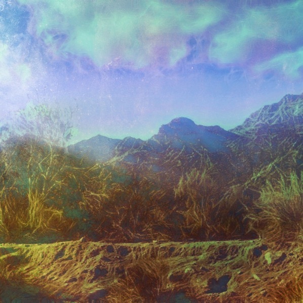
Photo Stream
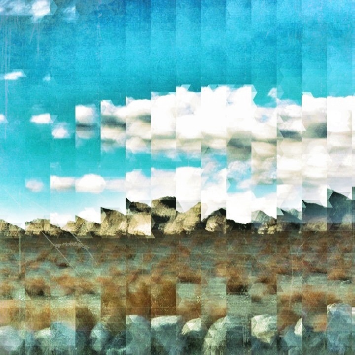
January 2013 Landscape II
california unitedstates palmsprings giraffe palmdesert lightroom martinsmith reticulatedgiraffe thelivingdesert nikon18200mmvrii nikond7000 pse12 palmsprings2014 ©martinsmith
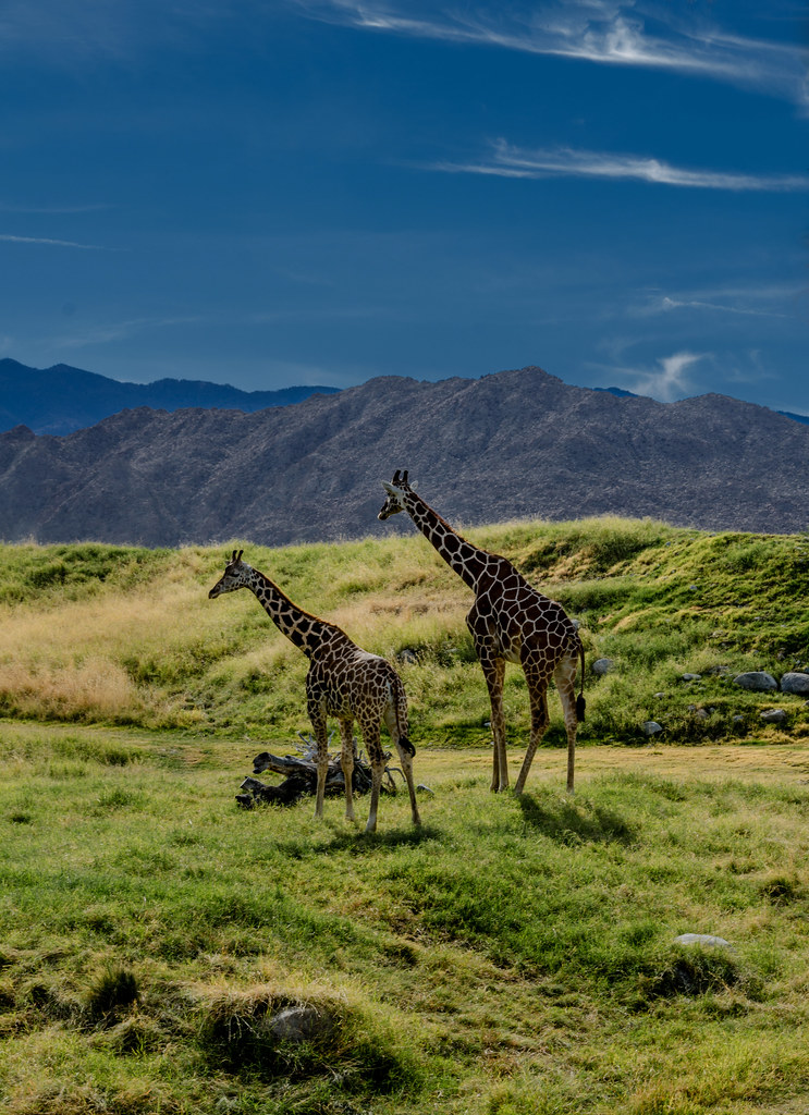
Giraffes at the Living Desert
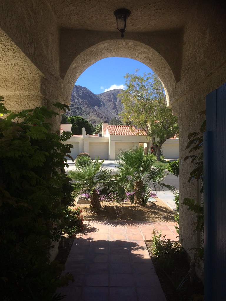
La Quinta
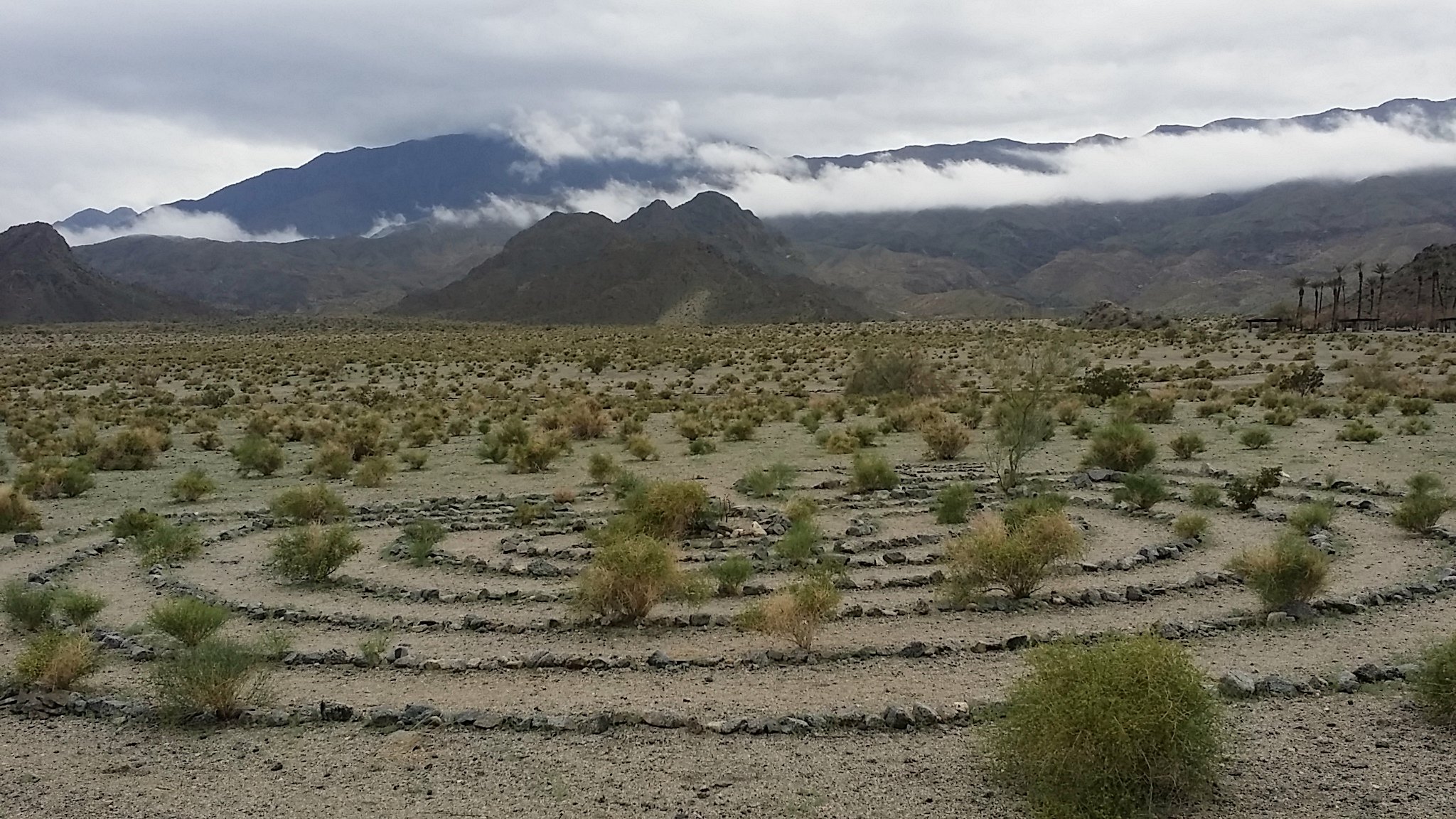
Desert / Rock / Landscape 05.30.12
california nature unitedstates palmsprings giraffe palmdesert canon6d
Giraffe Pasture
california ca usa field unitedstates giraffes 2012 palmdesert nikoncoolpixp500
Grazing Giraffes
Digital Impressions Of A Western Landscape II
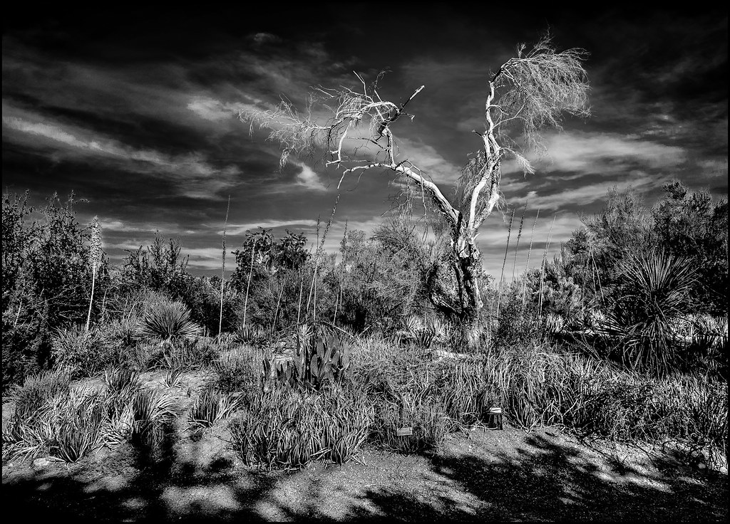
california bw unitedstates palmsprings nik palmdesert lightroom indianwells photoshopelements martinsmith thelivingdesert nikon18200mmvrii silverefex nikond7000 palmsprings2014 ©martinsmith
White Tree
pinestopalmshighway california desert landscape
Pines to Palms Highway
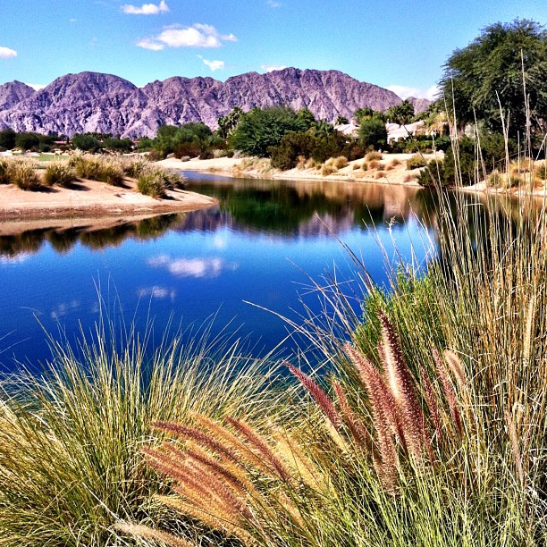
#Reflection over the #lake at the #1sttee #golf #gregnorman #pgawest #laquinta #psp #palm #palmsprings #sky #clouds #mountain #trees #pretty
valencia square squareformat iphoneography instagramapp uploaded:by=instagram foursquare:venue=4bc26727b492d13ad48aa760
Driving to #LaQuinta #CoachellaValley #Vistapoint
travel blue sky landscape desert wideangle desertclouds hwy74 palmdesertcalifornia desertpeaks 16x9widescreen “flickraward” lowercoloradodesert
Desert Peaks
california usa landscape coachella
Life & Death