Elevation of Muirfield Village, La Quinta, CA, USA
Location: United States > California > Riverside County > La Quinta >
Longitude: -116.24377
Latitude: 33.6416009
Elevation: -7m / -23feet
Barometric Pressure: 101KPa
Elevation Map:
Satellite Map:
Related Photos:
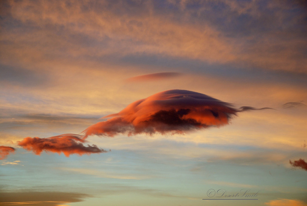
Morning Sunrise Clouds_1

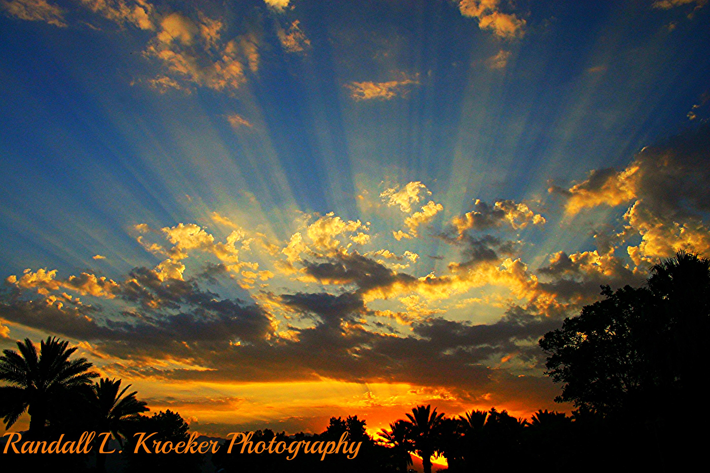
Morning Sunrise Clouds_2
ALL I NEED IS THE AIR THAT I BREATHE... in/out of Explore
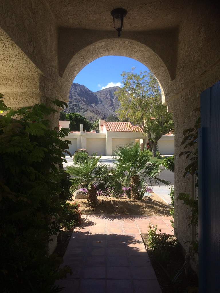
view out the front - Santa Rosa Cove
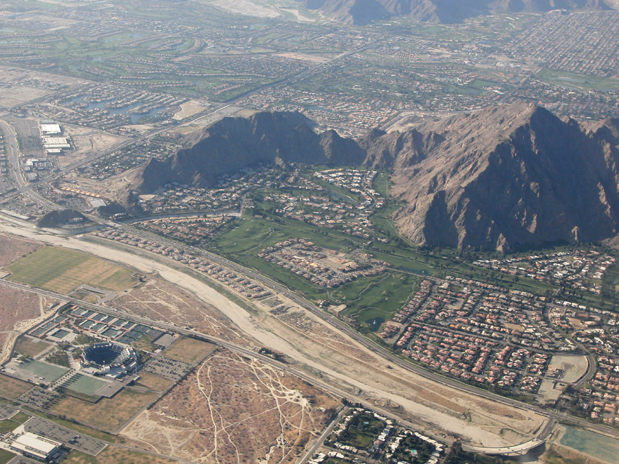
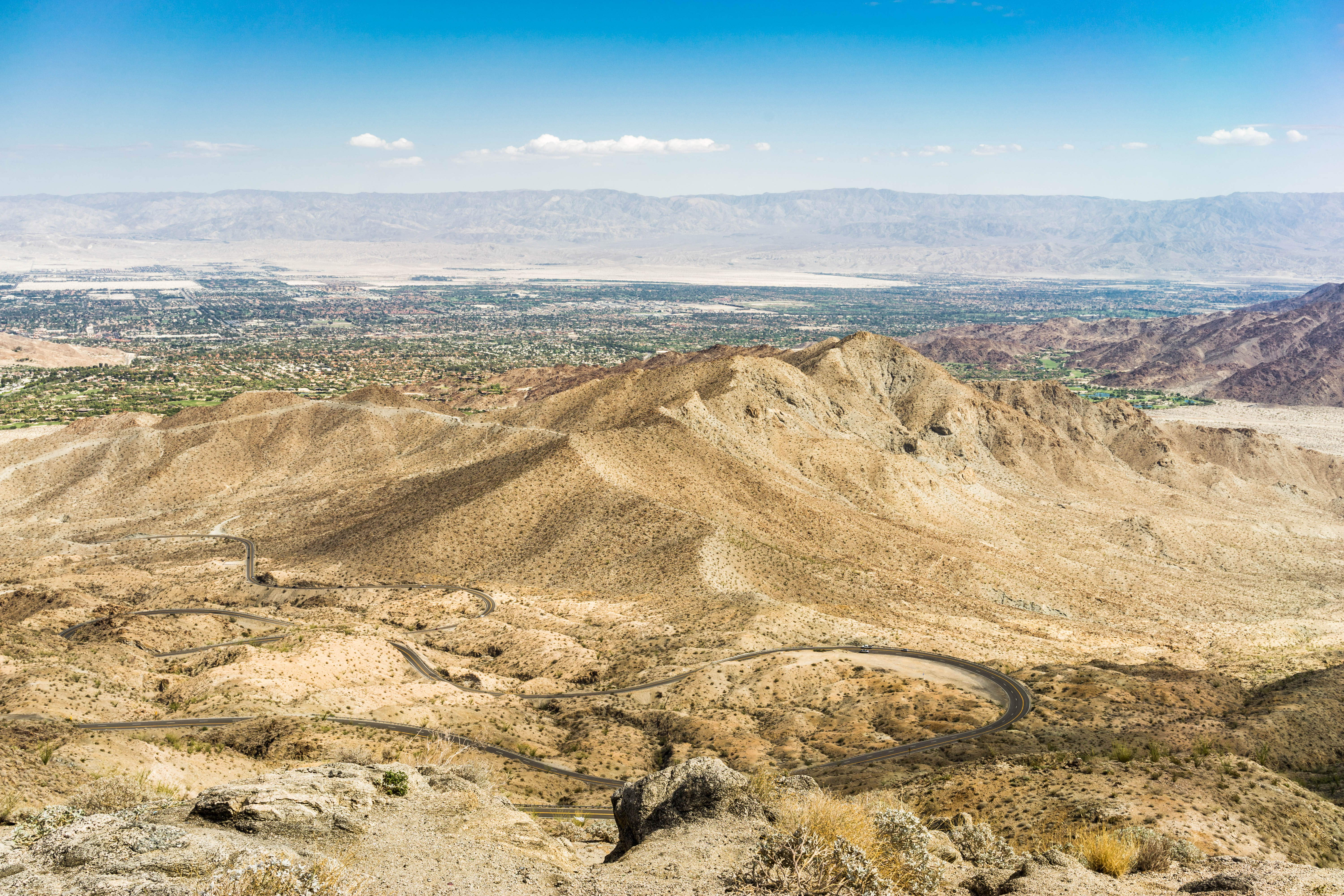
Above Indian Wells, La Quinta, Point Happy, and the Indian Wells Tennis Garden, Riverside County, California
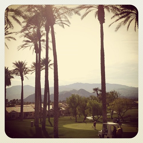
View from Homewood Suites by Hilton La Quinta, CA

dude taking a leak on a golf course in full view of a busy street
twenty three
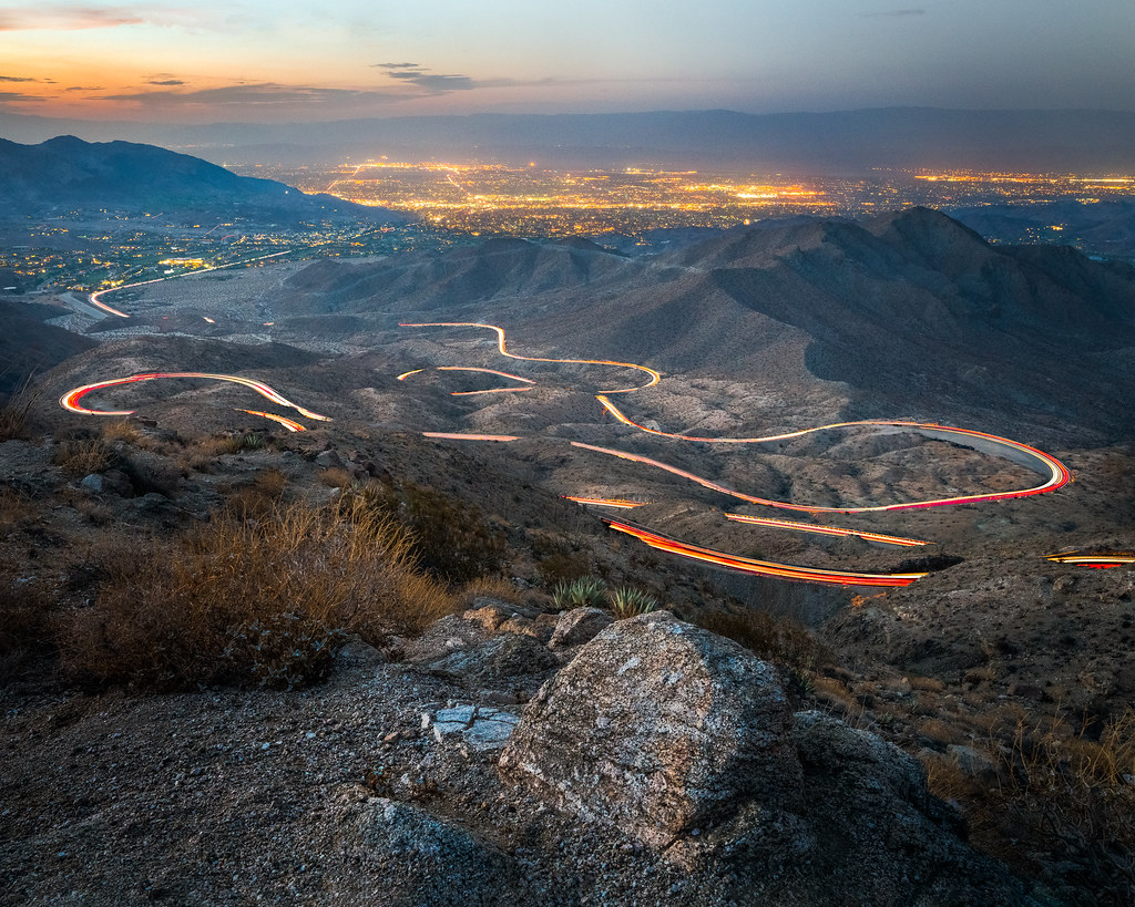
TURNOUT ON HIGHWAY 74
Sunrise 11_8_2010

#Pretty #Sunset over the #golfcourse in #psp #laquinta #palmtrees #view #sun #sky #beautiful #palm
Brunch view
Doesn't get much better. Loved ones, sudoku, and a great view!
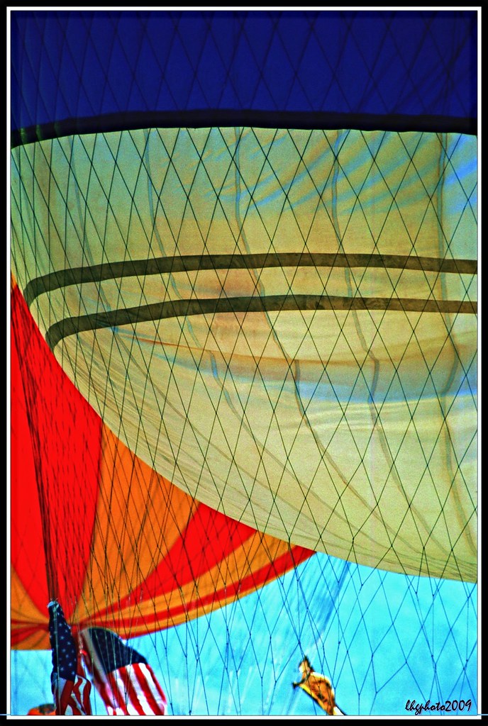
Balloons and American Flag (Image Preservation Project)
Patio Chair

Hubbs @rigz8 smashing #golfballs #golf #fun #gregnorman #laquinta #pgawest #drivingrange #view #mountain #grass
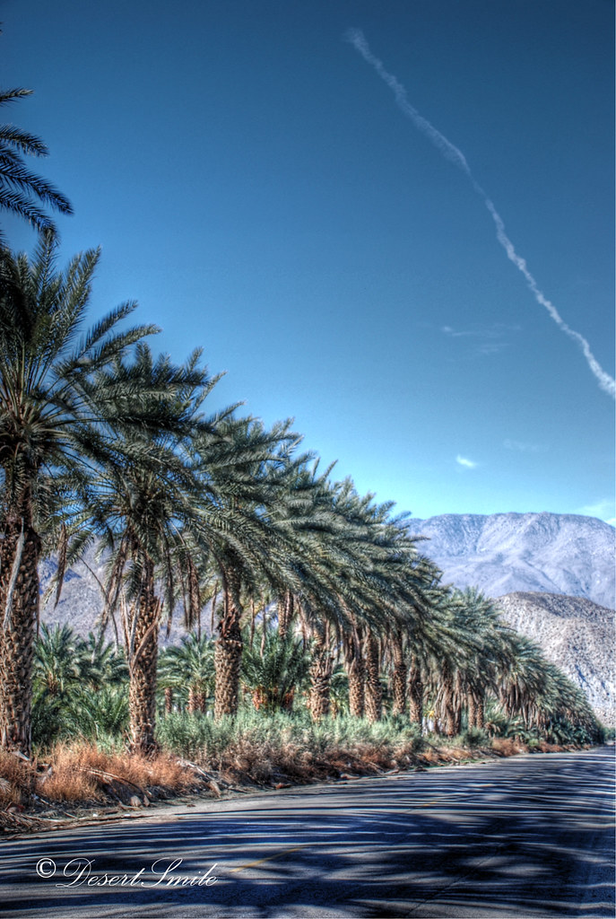
Palm Shadows
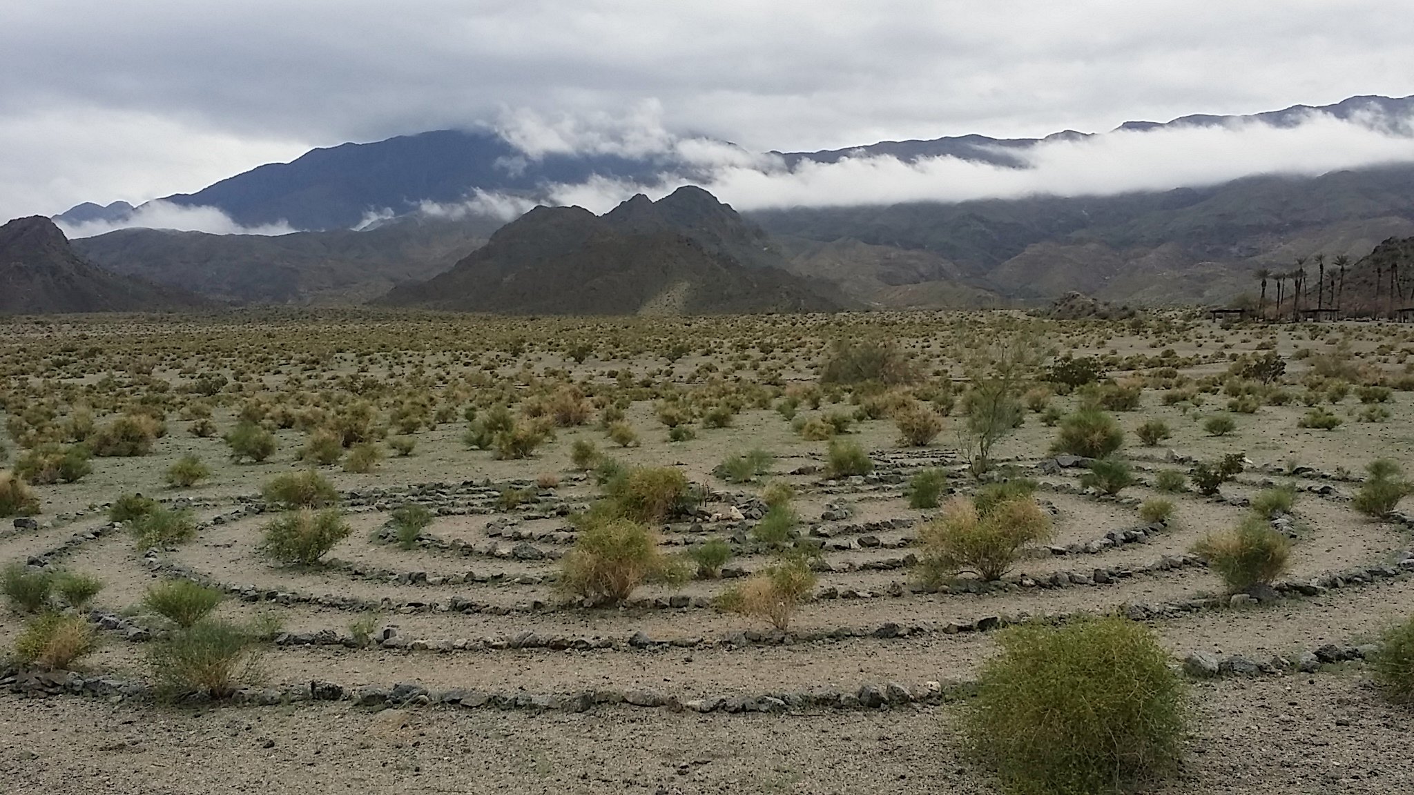
An arrow in the sand, Riverside County, California
It's good to be a kid

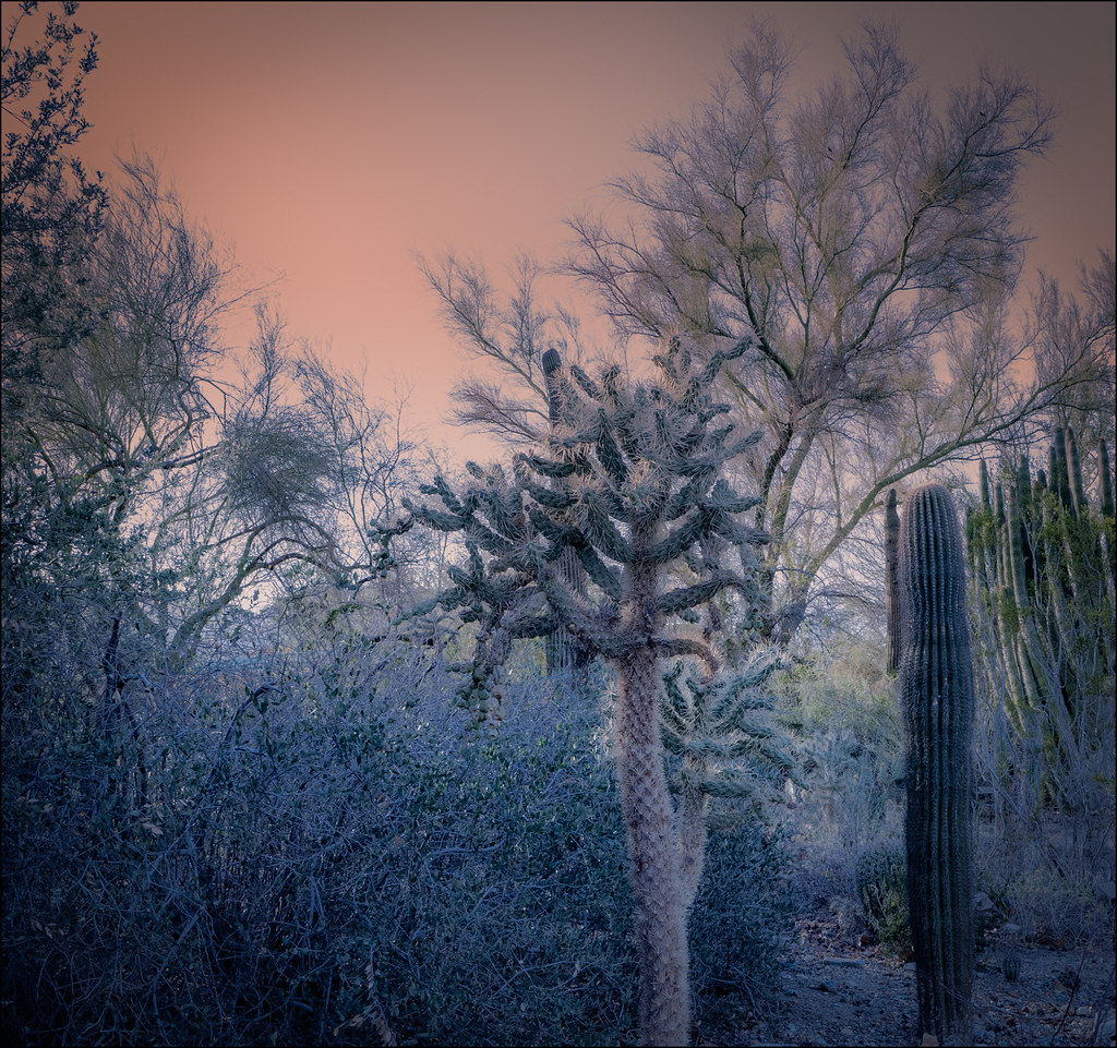
#Desert #sunset over the #EisenhowerMountains #IndianWells #psp #cactus #view #nofilter #sky #beautiful #palm #palmsprings #sun #colorful #pretty #cool

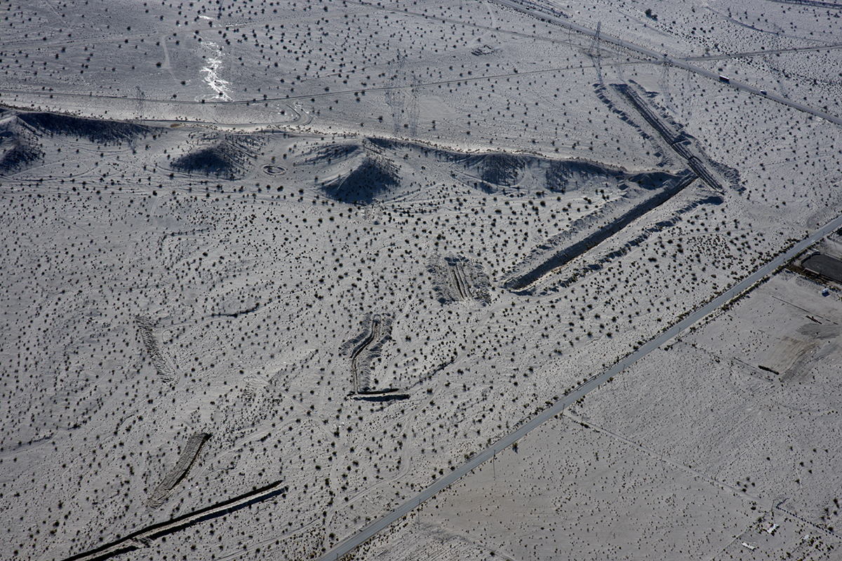
Above Granite Construction Quarry, Indio, Riverside County, California
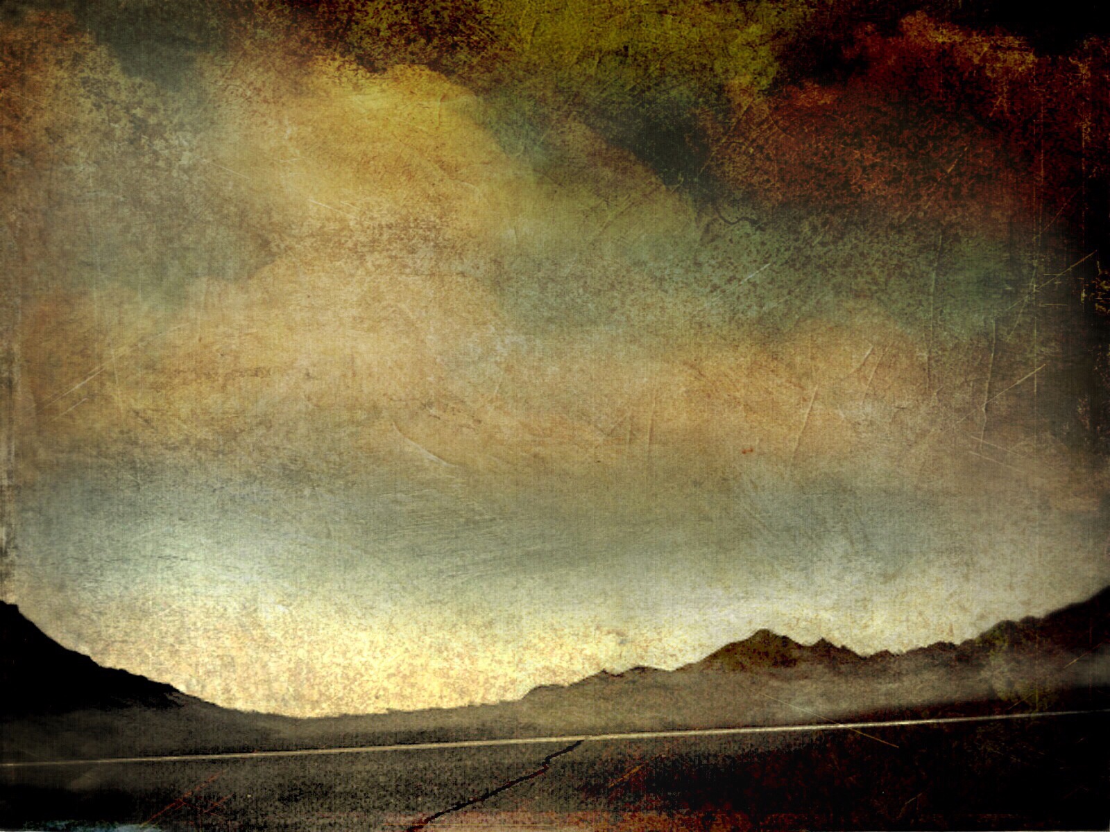
Imagined Landscape VIII
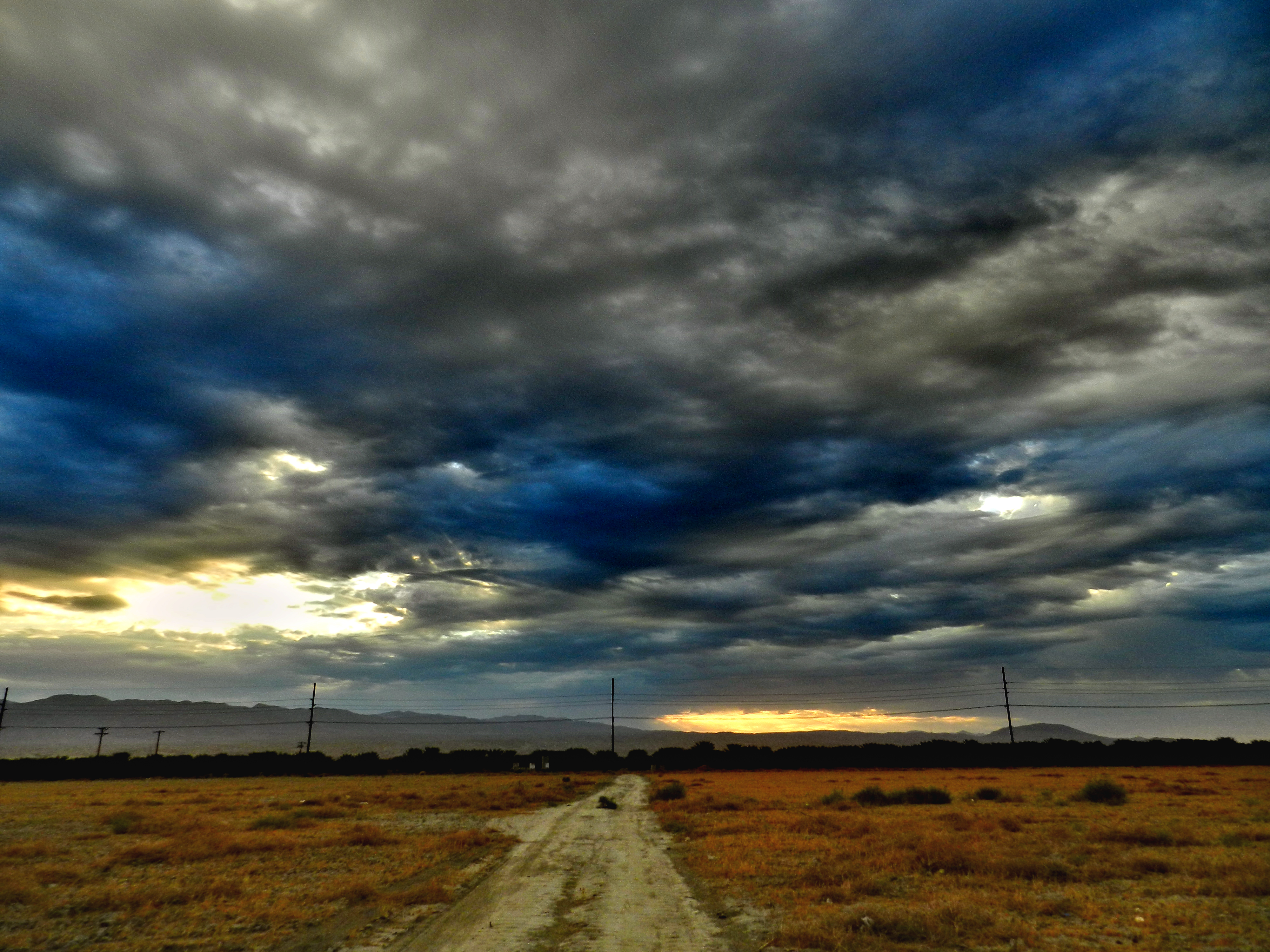
Santa Rosa Virga
Danbo Ready to Tee Off
Indian Wells 03

I'm a Giraffe
desert glow
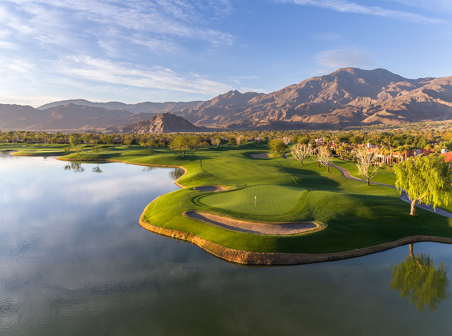
18th Hole, PGA WEST Weiskopf Course
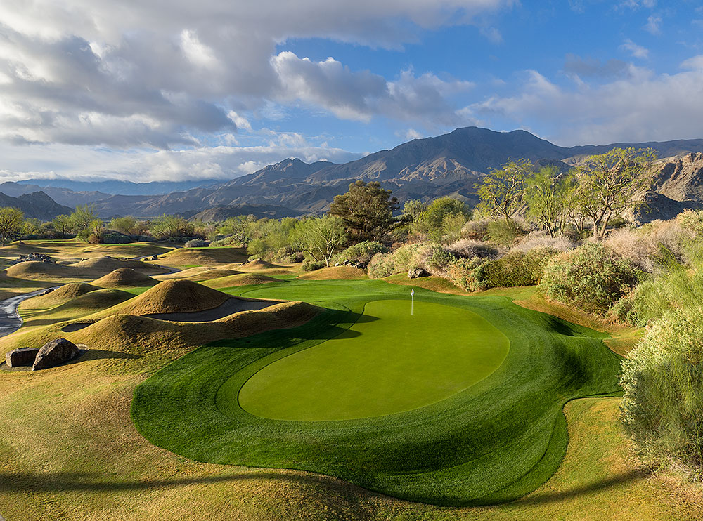
17th hole PGA WEST Nicklaus Private Course
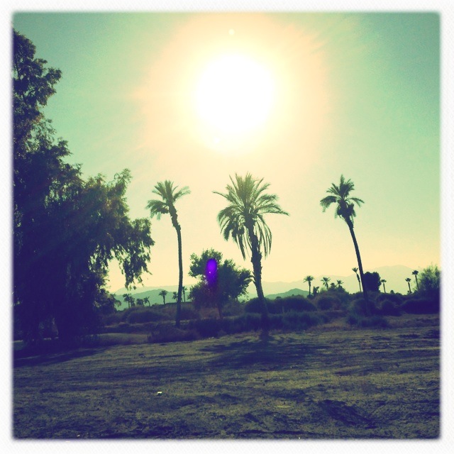
La Quinta
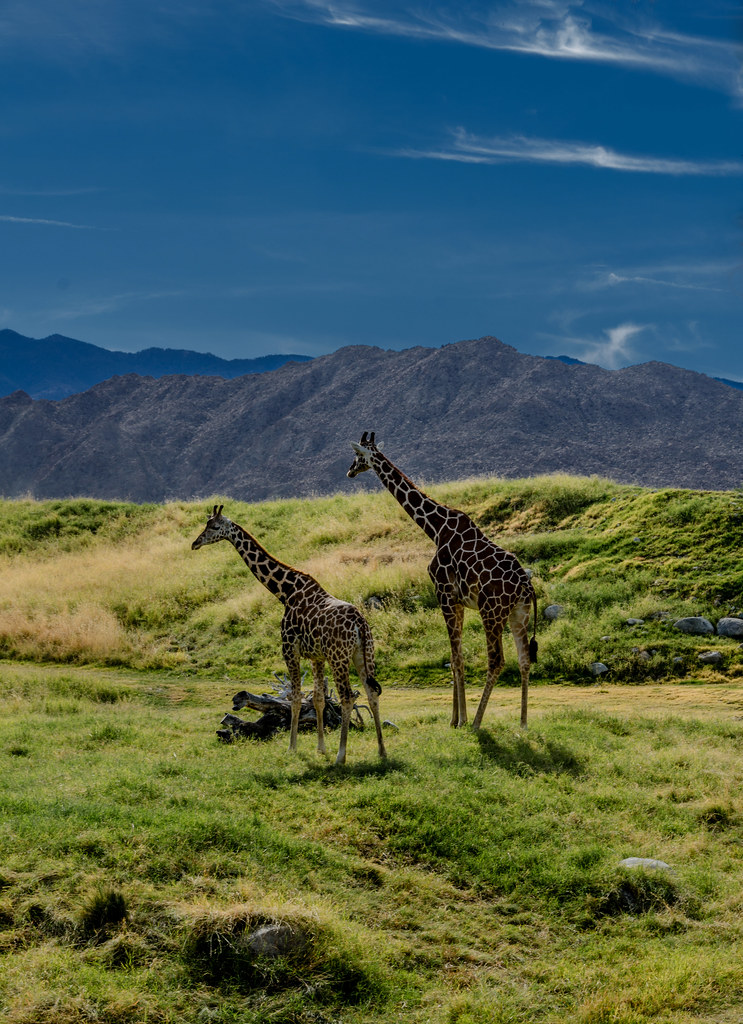
Giraffes at the Living Desert

January 2013 Landscape II
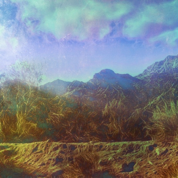
Photo Stream

Grazing Giraffes

Giraffe Pasture
Life & Death
Palm to Pines Highway - Palm Desert, CA
#the desert #oggl
Pines to Palms Highway
the sensitive kind - 2012
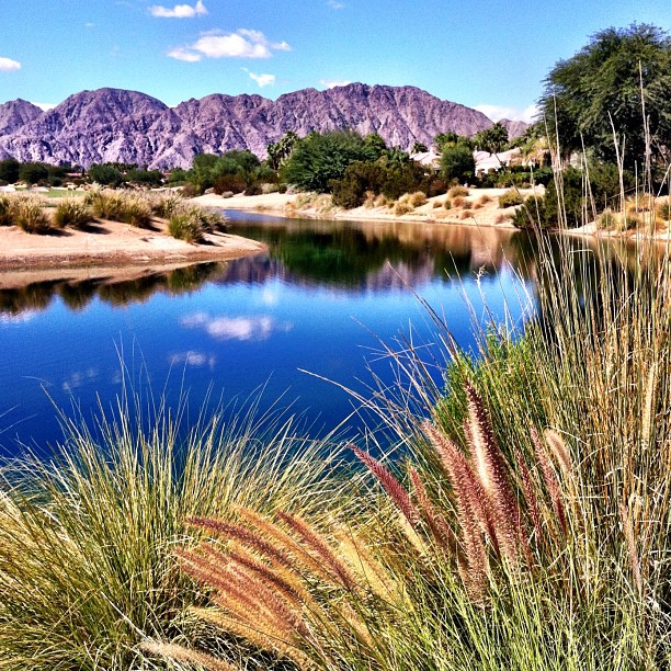
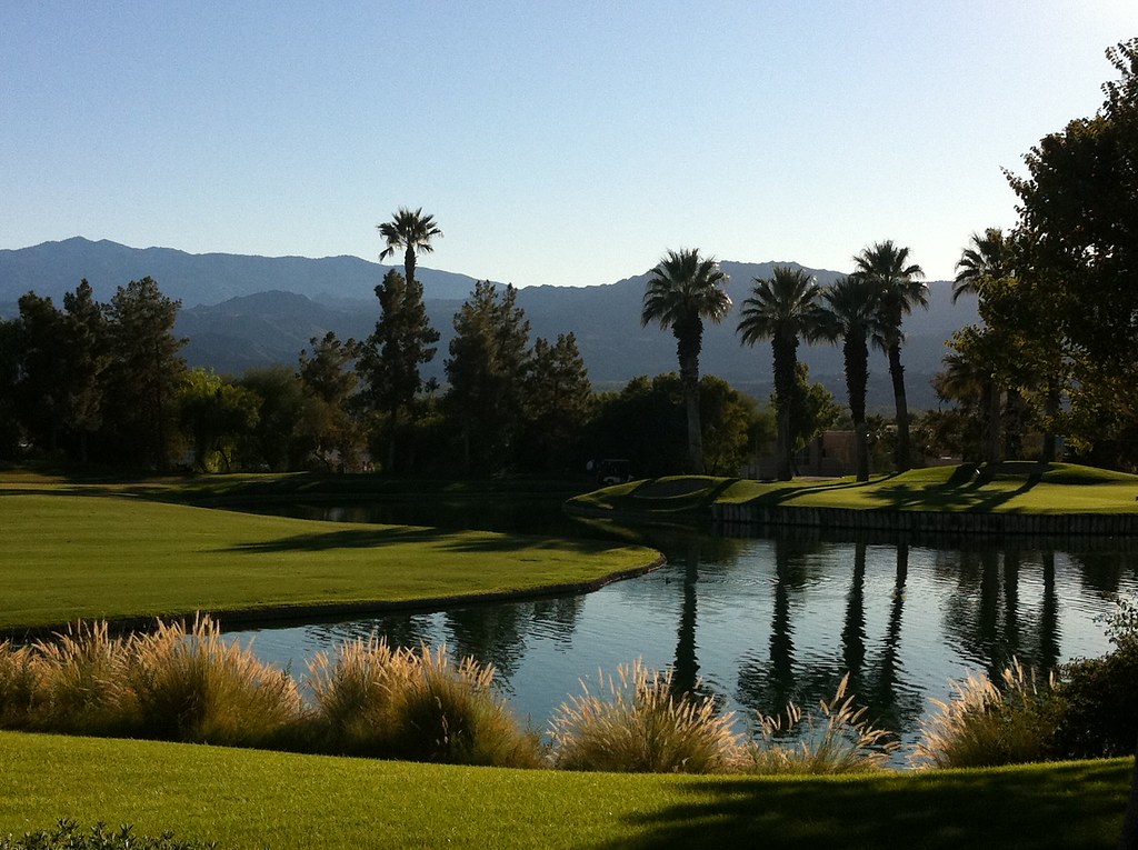
#Reflection over the #lake at the #1sttee #golf #gregnorman #pgawest #laquinta #psp #palm #palmsprings #sky #clouds #mountain #trees #pretty
Topographic Map of Muirfield Village, La Quinta, CA, USA
Find elevation by address:

Places near Muirfield Village, La Quinta, CA, USA:
Stadium Course At Pga West
Nicklaus Tournament Resort Course
54001 Madison St
80495 Whisper Rock Way
57559 Santa Rosa Trail
57669 Santa Rosa Trail
57669 Santa Rosa Trail
80611 Cherry Hills Dr
80448 Pebble Beach
Pga West Private Clubhouse & Golf Courses
81318 Peary Pl
Pga Boulevard
55054 Firestone
81835 Prism Dr
61063 Fire Barrel Dr
Coachella Valley Music And Arts Festival
81268 Cambria Ct
80540 Via Talavera
61730 Mesa Ct
49817 Mclaine Dr
Recent Searches:
- Elevation of Shibuya Scramble Crossing, 21 Udagawacho, Shibuya City, Tokyo -, Japan
- Elevation of Jadagoniai, Kaunas District Municipality, Lithuania
- Elevation of Pagonija rock, Kranto 7-oji g. 8"N, Kaunas, Lithuania
- Elevation of Co Rd 87, Jamestown, CO, USA
- Elevation of Tenjo, Cundinamarca, Colombia
- Elevation of Côte-des-Neiges, Montreal, QC H4A 3J6, Canada
- Elevation of Bobcat Dr, Helena, MT, USA
- Elevation of Zu den Ihlowbergen, Althüttendorf, Germany
- Elevation of Badaber, Peshawar, Khyber Pakhtunkhwa, Pakistan
- Elevation of SE Heron Loop, Lincoln City, OR, USA