Elevation of 66th Ave, Thermal, CA, USA
Location: United States > California > Riverside County > Thermal >
Longitude: -116.17953
Latitude: 33.568699
Elevation: -28m / -92feet
Barometric Pressure: 102KPa
Elevation Map:
Satellite Map:
Related Photos:

#Pretty #Sunset over the #golfcourse in #psp #laquinta #palmtrees #view #sun #sky #beautiful #palm
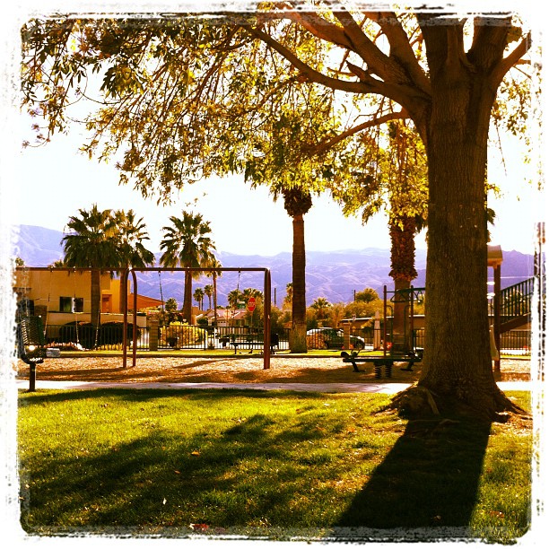
February, and this is my view at the park. In short sleeves. No complaint here.
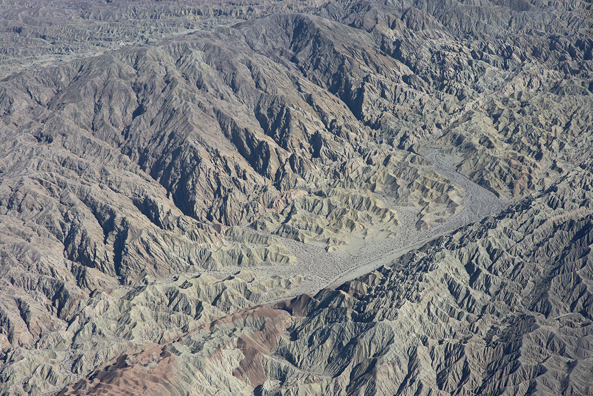
Above the San Andreas and Skeleton Canyon Faults, Mecca Hills, Riverside County, California

This Weekend's View

Avenue 48 (Mono) - 9 November 2015

Dillon Road, where it crosses over the San Andreas Fault, Coachella, Riverside County, California
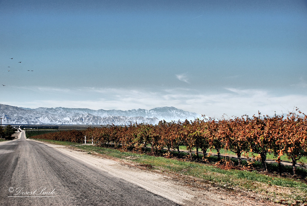
End of Harvest
Glamorous M83 view!
My current #coachella view. #geometry #parallel #lines #rhombus #distortion #tired #horizontal #idgaf

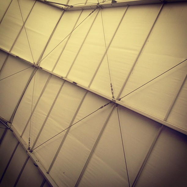
the view from the tent #glamping
Gramma's View
Seeing Another Line

View from Rose Garden | Coachella 2012
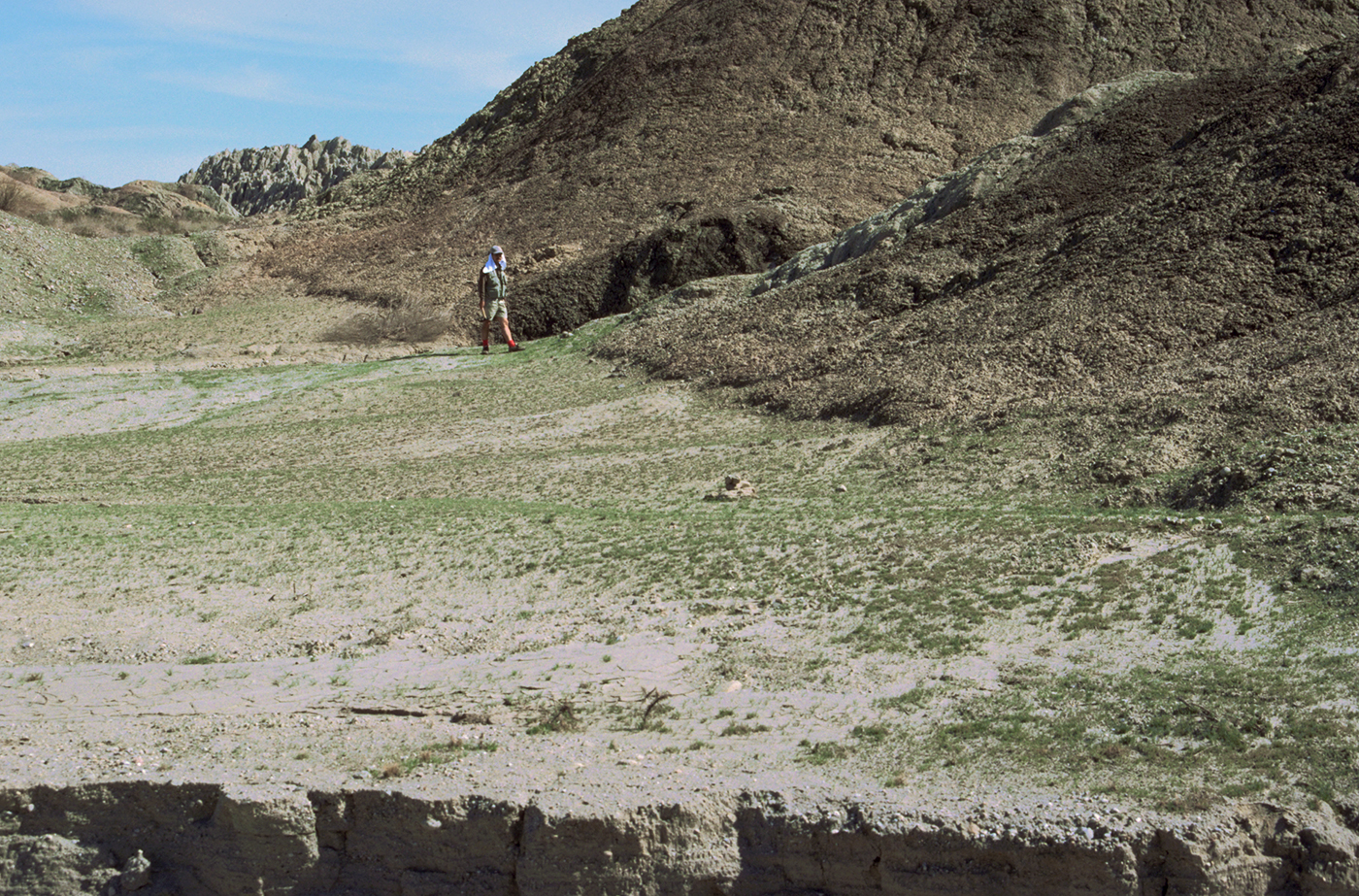
Scarp along the San Andreas Fault, Mecca Hills, Riverside County, California

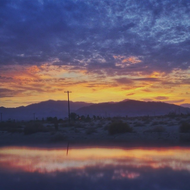
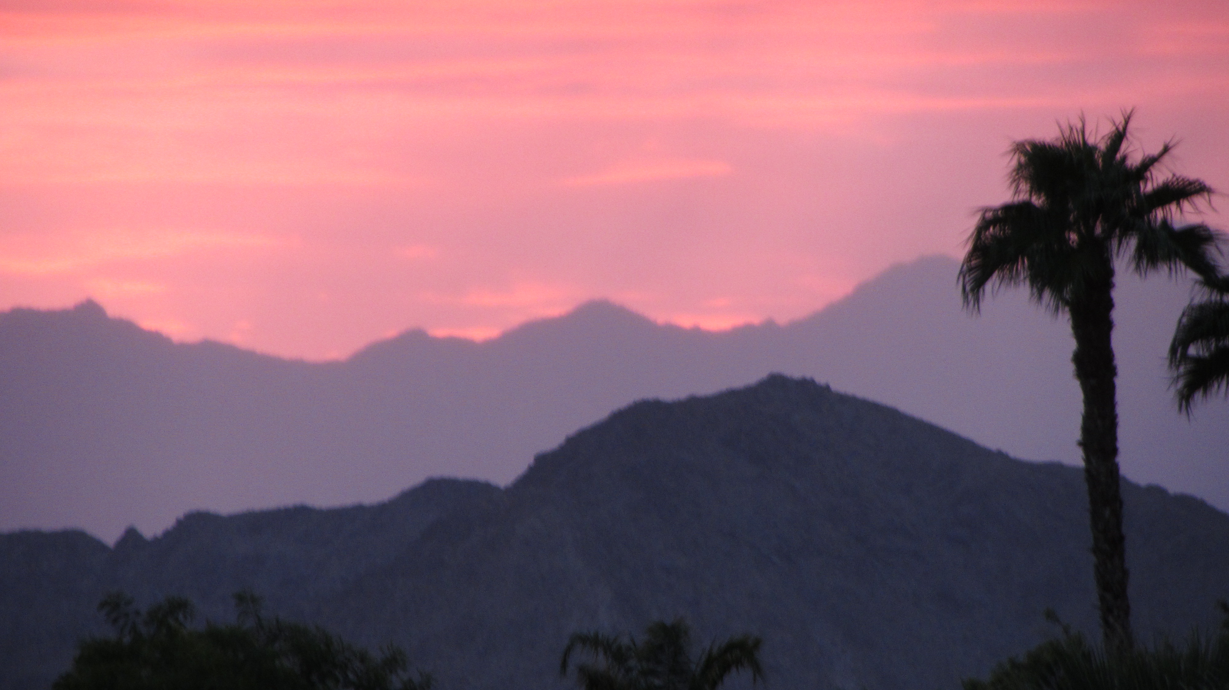
Coachella Sunset View

Coachella Sunset View
Lines Go On and On
Waiting for the Harvest
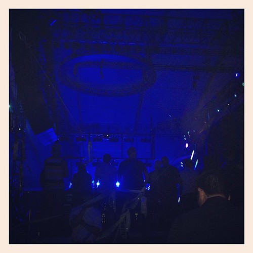
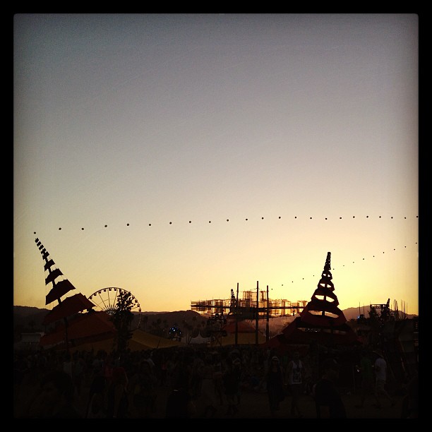
The view of #coachella from the ferris wheel is unreal!

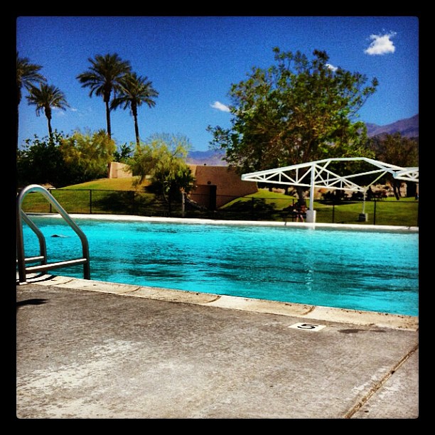
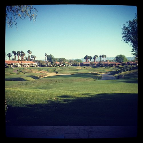
View of the 18th Hole

Coachella View

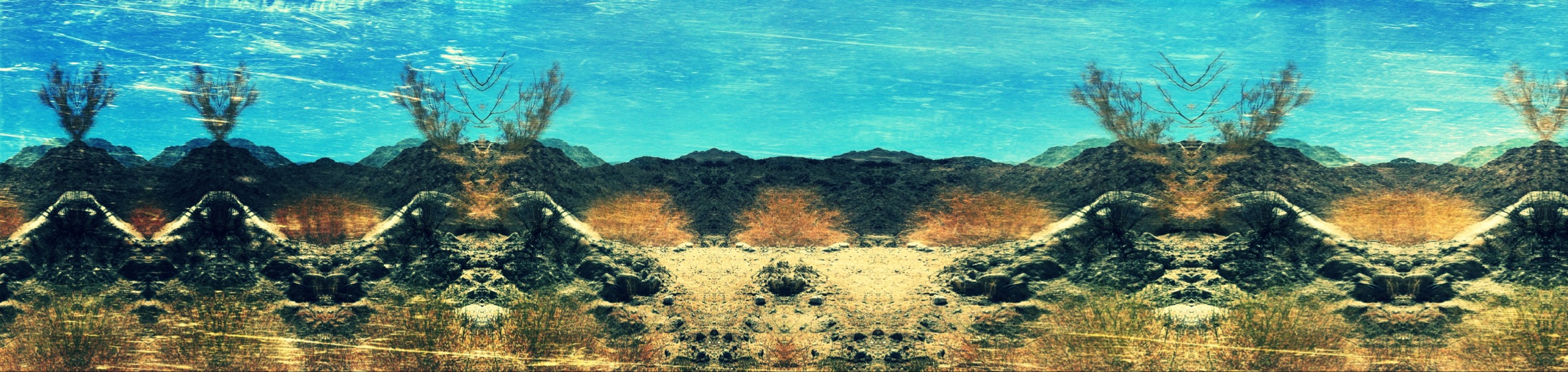
Imagined Landscape VIII
Fox Tails

January 2013 Landscape II

Desert / Rock / Landscape 05.30.12

Separate from you
Landscape 06.12.12

1000 feet. Coachella and mathematics.
"Oasis" at the end of the trail...

2014-10-25 17.10.30
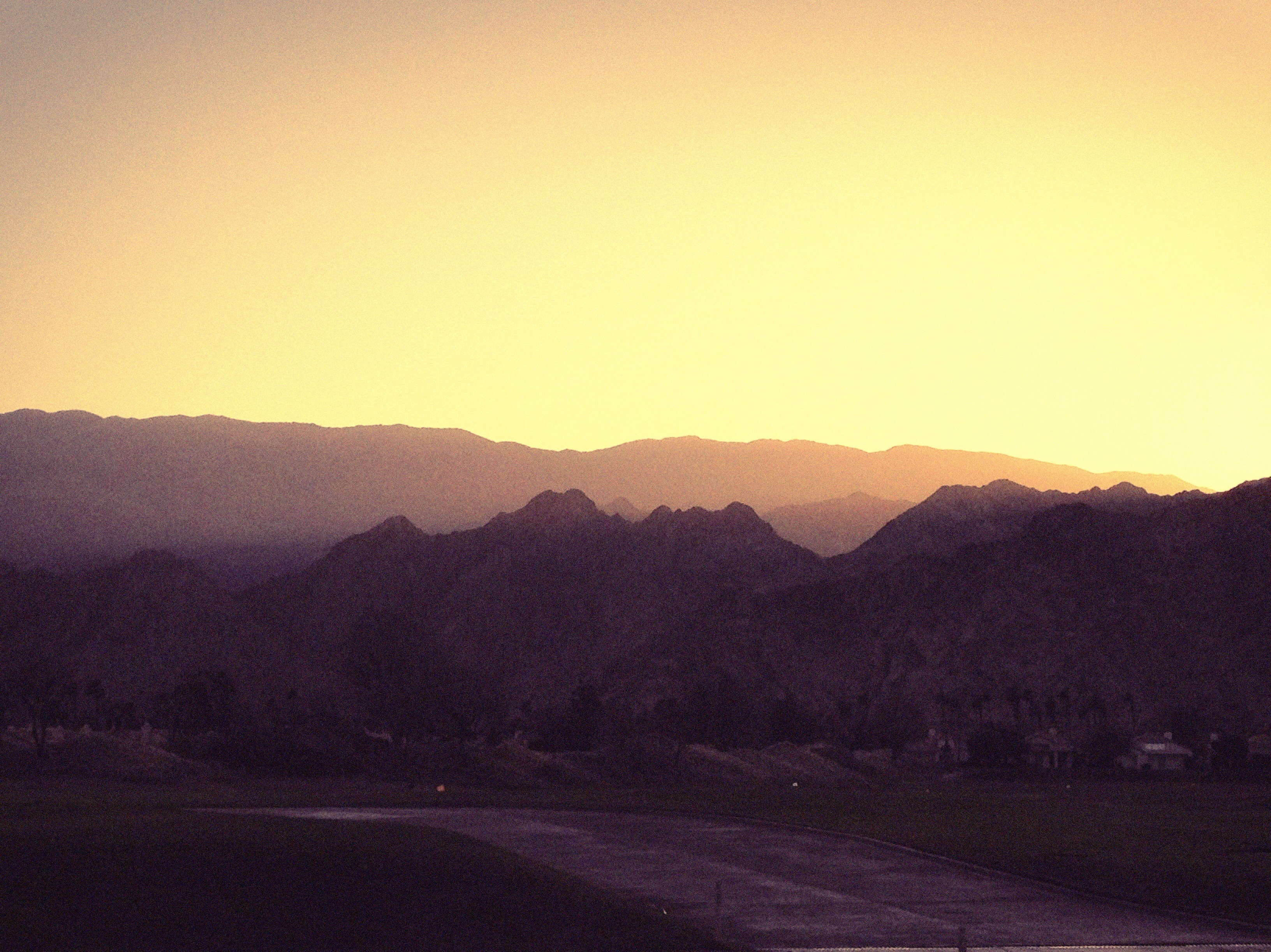
sunset in Palm Springs
Life & Death
20101207.RT.XP.R15.01
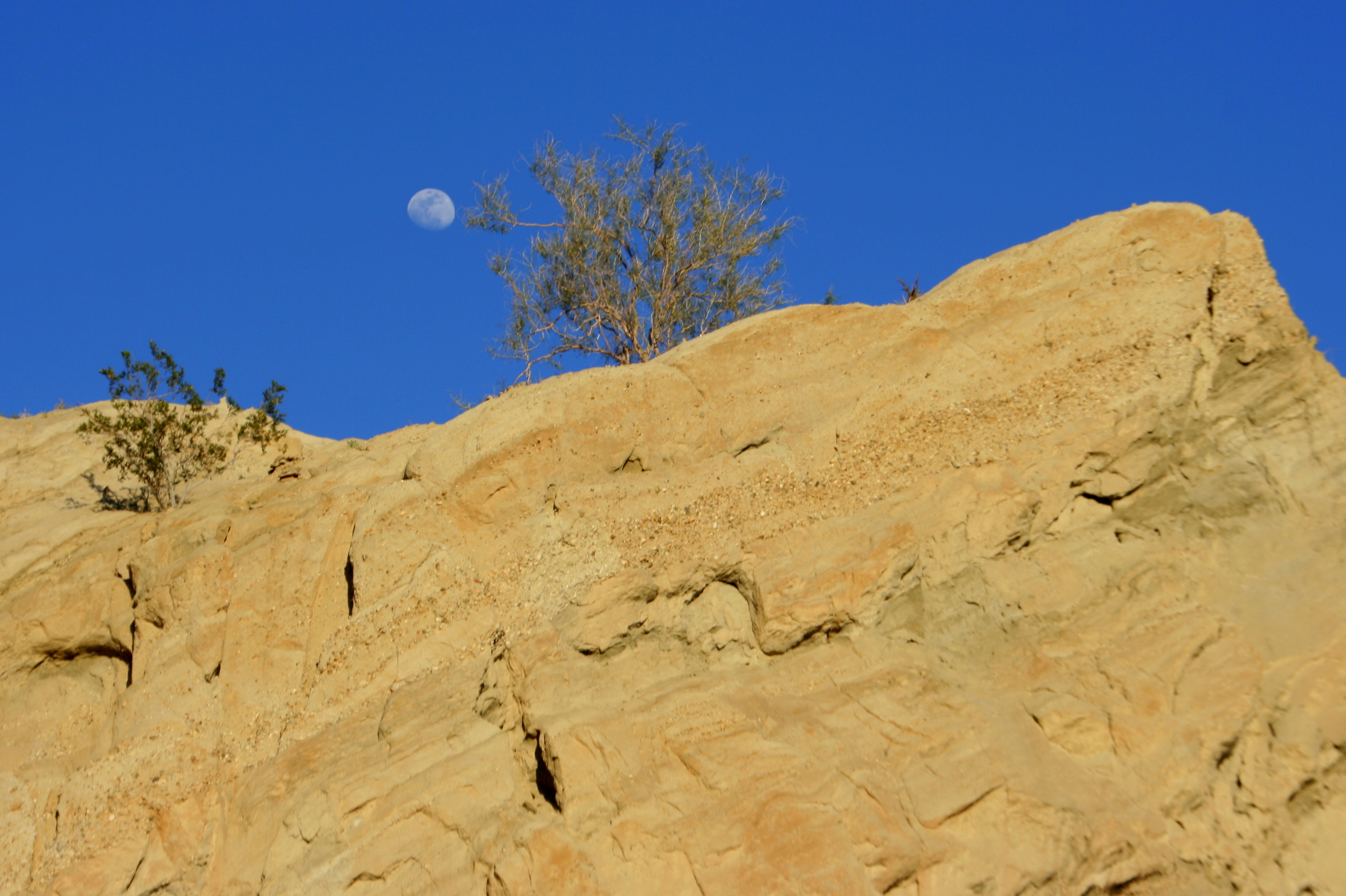
Moon rock 2
Good morning!
IMG_0158.JPG

Also desert farm
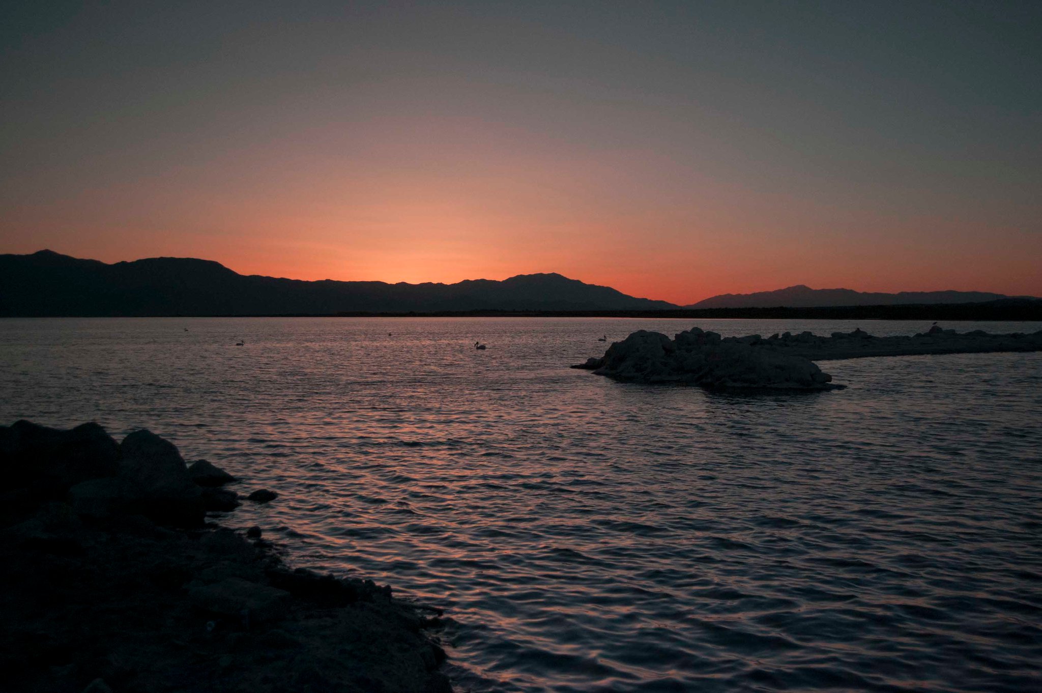
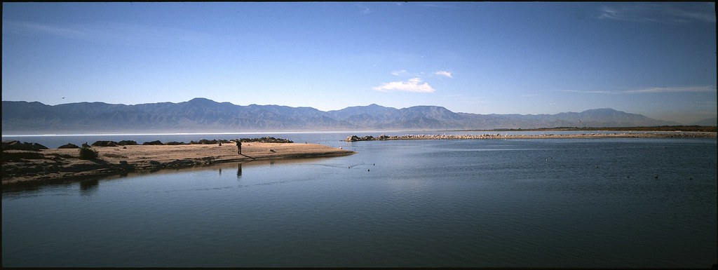
salton sea sunset
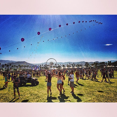
Coachella!
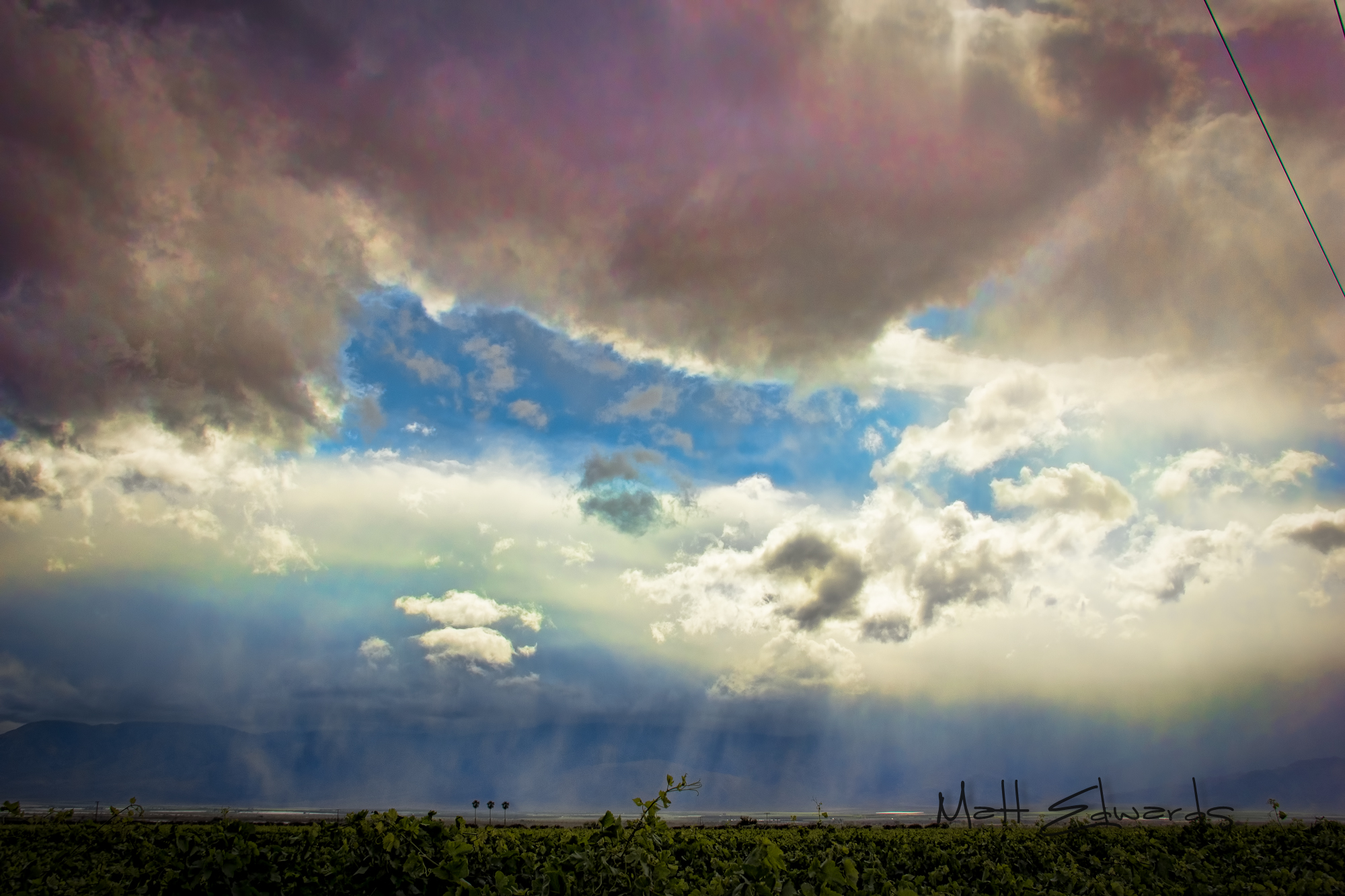
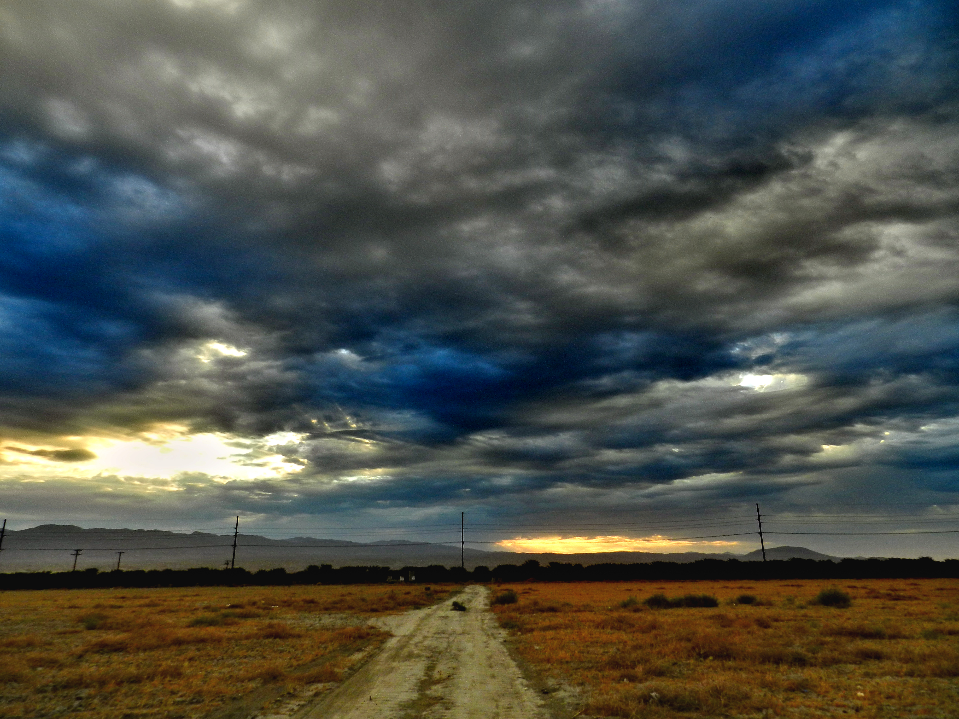
Desert Rain Coachella Fest Weekend
Another beautiful day in Coachella Valley
#the desert #oggl
Topographic Map of 66th Ave, Thermal, CA, USA
Find elevation by address:

Places near 66th Ave, Thermal, CA, USA:
61605 Goodwood Drive
61730 Mesa Ct
86911 58th Ave
61063 Fire Barrel Dr
81835 Prism Dr
81268 Cambria Ct
Airport Blvd, Thermal, CA, USA
Thermal
College Of The Desert, East Valley Campus, Mecca/thermal
81235 Muirfield Village
57669 Santa Rosa Trail
57669 Santa Rosa Trail
57559 Santa Rosa Trail
Mecca
Mecca
Mecca
Mecca
Mecca
Mecca
91100 4th St
Recent Searches:
- Elevation of Congressional Dr, Stevensville, MD, USA
- Elevation of Bellview Rd, McLean, VA, USA
- Elevation of Stage Island Rd, Chatham, MA, USA
- Elevation of Shibuya Scramble Crossing, 21 Udagawacho, Shibuya City, Tokyo -, Japan
- Elevation of Jadagoniai, Kaunas District Municipality, Lithuania
- Elevation of Pagonija rock, Kranto 7-oji g. 8"N, Kaunas, Lithuania
- Elevation of Co Rd 87, Jamestown, CO, USA
- Elevation of Tenjo, Cundinamarca, Colombia
- Elevation of Côte-des-Neiges, Montreal, QC H4A 3J6, Canada
- Elevation of Bobcat Dr, Helena, MT, USA