Elevation of 63 AR-38, Hughes, AR, USA
Location: United States > Arkansas > St. Francis County > Garland Township > Hughes >
Longitude: -90.443972
Latitude: 34.9419989
Elevation: 62m / 203feet
Barometric Pressure: 101KPa
Elevation Map:
Satellite Map:
Related Photos:
View east to Levee
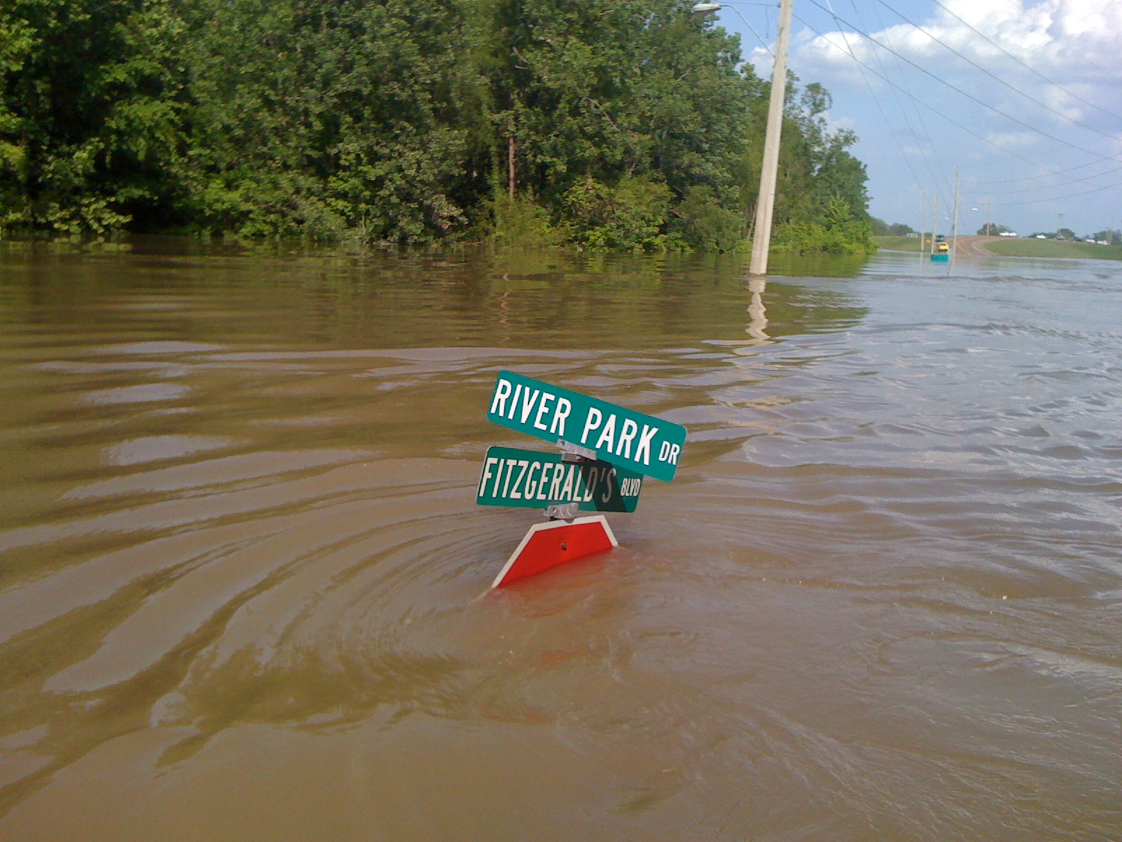
View W down Fitz Blvd
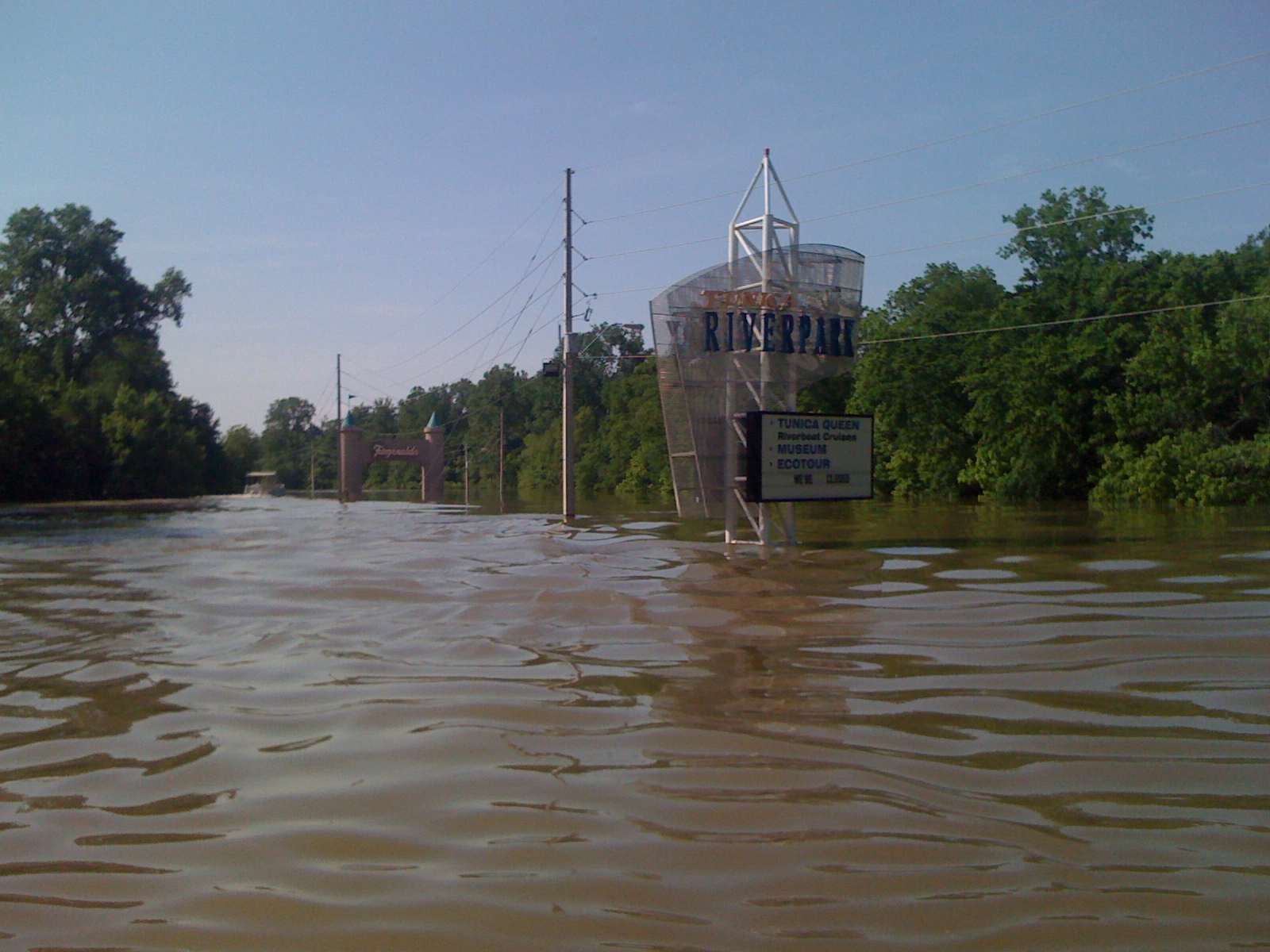
Tunica Riverpark
Tunica Riverpark
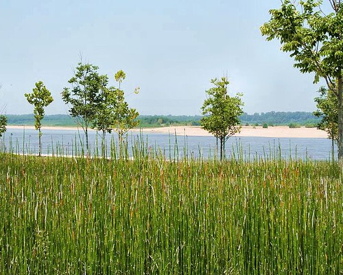
Mississippi River-Tunica, MS
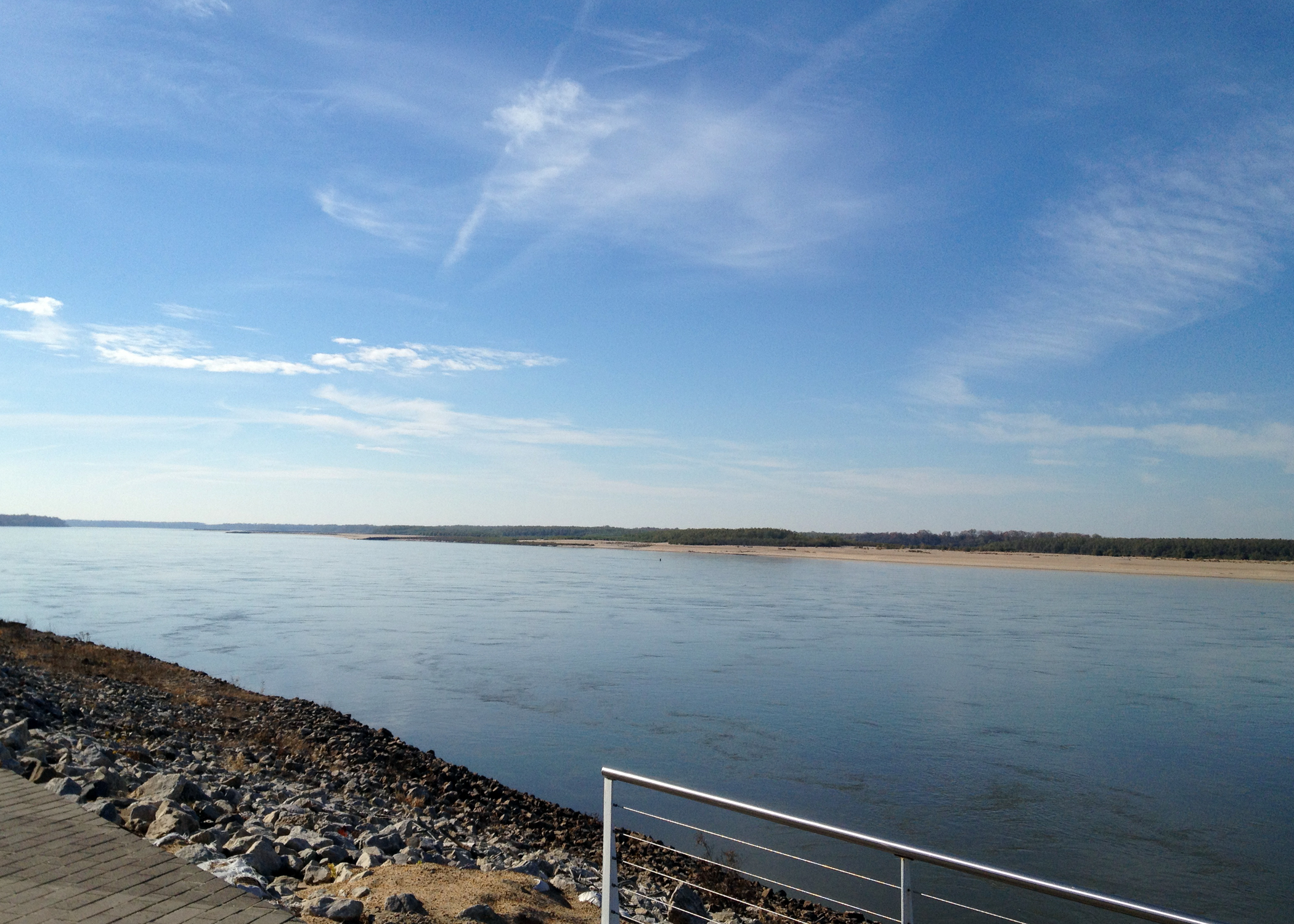
Tunica Riverpark
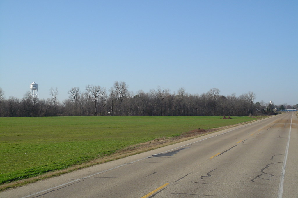
Hughes Arkansas Water Tower
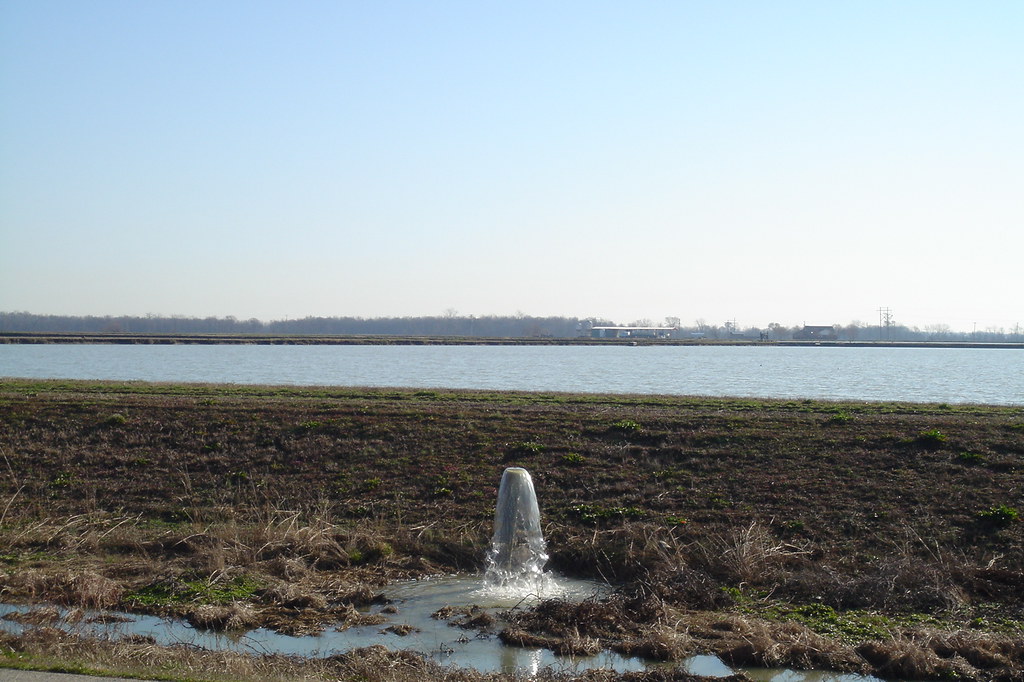
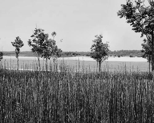
Ponds near Hughes Arkansas

Tunica Riverpark
Mississippi River-Tunica, MS
Topographic Map of 63 AR-38, Hughes, AR, USA
Find elevation by address:

Places near 63 AR-38, Hughes, AR, USA:
Hughes
Church St, Hughes, AR, USA
Garland Township
1376-1432
510-520
County Rd, Hughes, AR, USA
Lucas Township
Horseshoe Cir, Hughes, AR, USA
AR-50, Proctor, AR, USA
Dillahunty Rd, Hughes, AR, USA
Fitz Tunica Casino & Hotel
Williford Rd, Hughes, AR, USA
Horseshoe Cir, Hughes, AR, USA
Proctor
Tunica Resorts
Bob Ward Township
Robinsonville
AR-, Proctor, AR, USA
AR-, Proctor, AR, USA
Montgomery St, Proctor, AR, USA
Recent Searches:
- Elevation of Hobbyhorse Ct, Dover, DE, USA
- Elevation of Horseshoe Ln, Dahlonega, GA, USA
- Elevation of Village Point Dr, Daphne, AL, USA
- Elevation map of Kabardino-Balkarian Republic, Russia
- Elevation of Tyrnyauz, Kabardino-Balkarian Republic, Russia
- Elevation of Sunset Dr, Hernando, MS, USA
- Elevation of Lake Rotoroa, Tasman, New Zealand
- Elevation of George St, New Bern, NC, USA
- Elevation of Cove Rd, Jasper, GA, USA
- Elevation of Cove Rd, Jasper, GA, USA