Elevation of - Eason Rd, Hughes, AR, USA
Location: United States > Arkansas > Crittenden County > Lucas Township >
Longitude: -90.386218
Latitude: 34.965734
Elevation: 64m / 210feet
Barometric Pressure: 101KPa
Elevation Map:
Satellite Map:
Related Photos:

Awesome speaker welcome at #SoMeT
View east to Levee
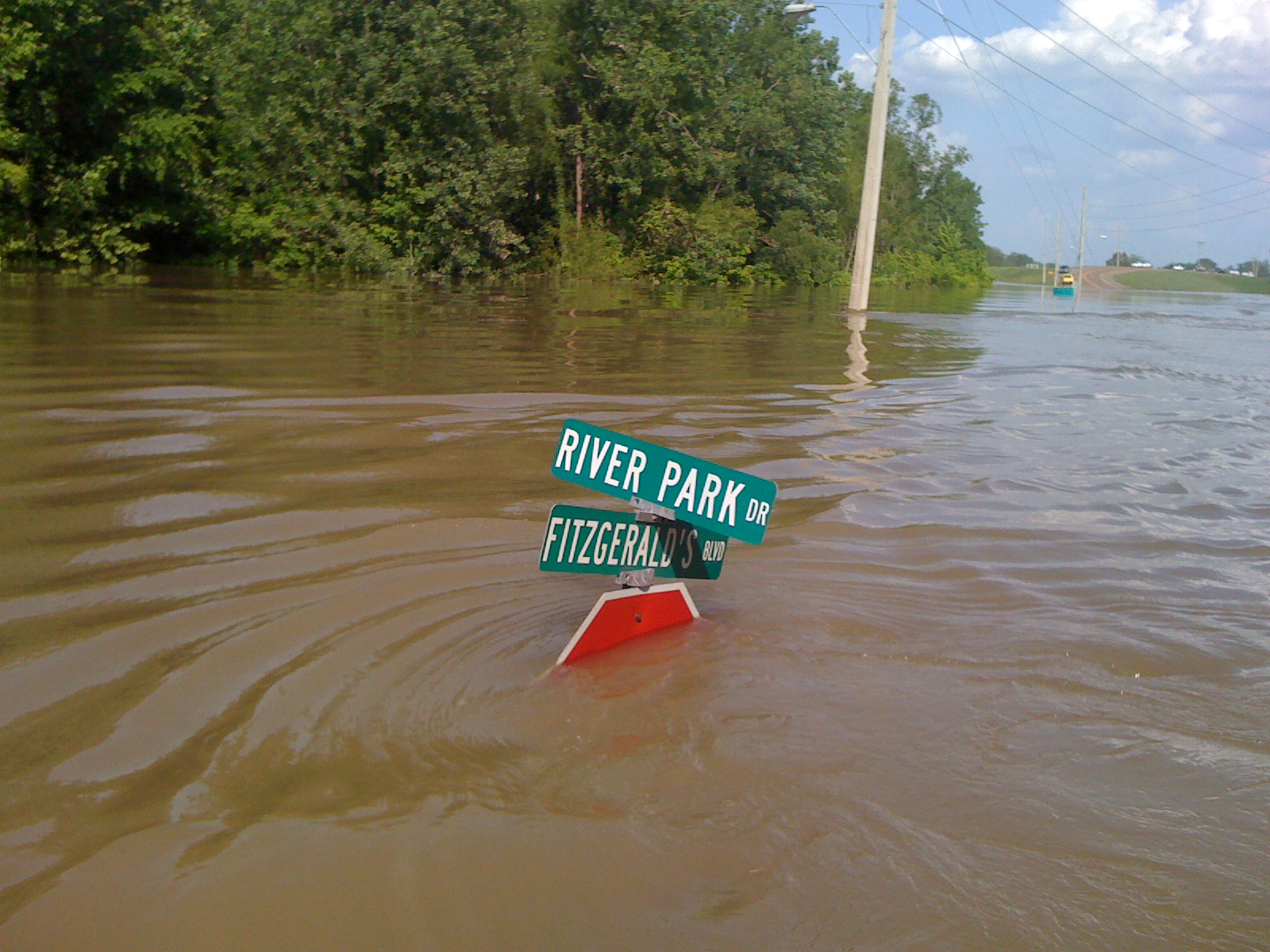
View W down Fitz Blvd
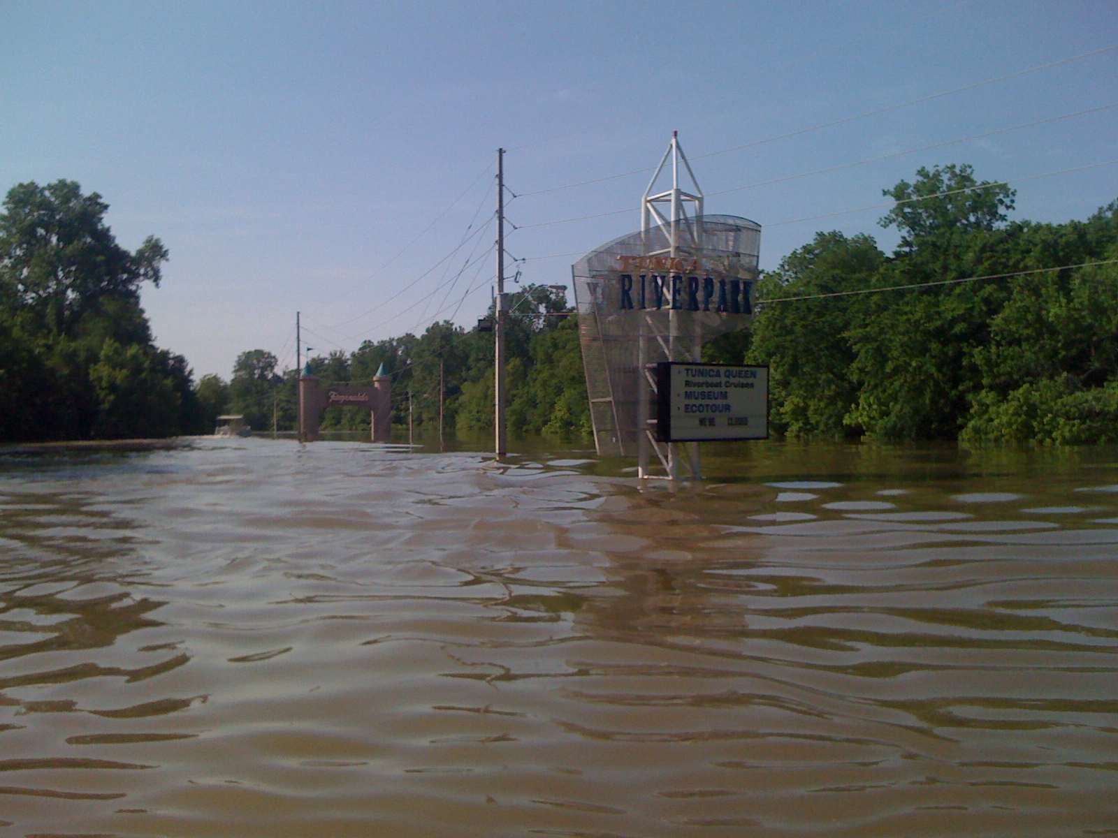
Tunica Riverpark
Tunica Riverpark
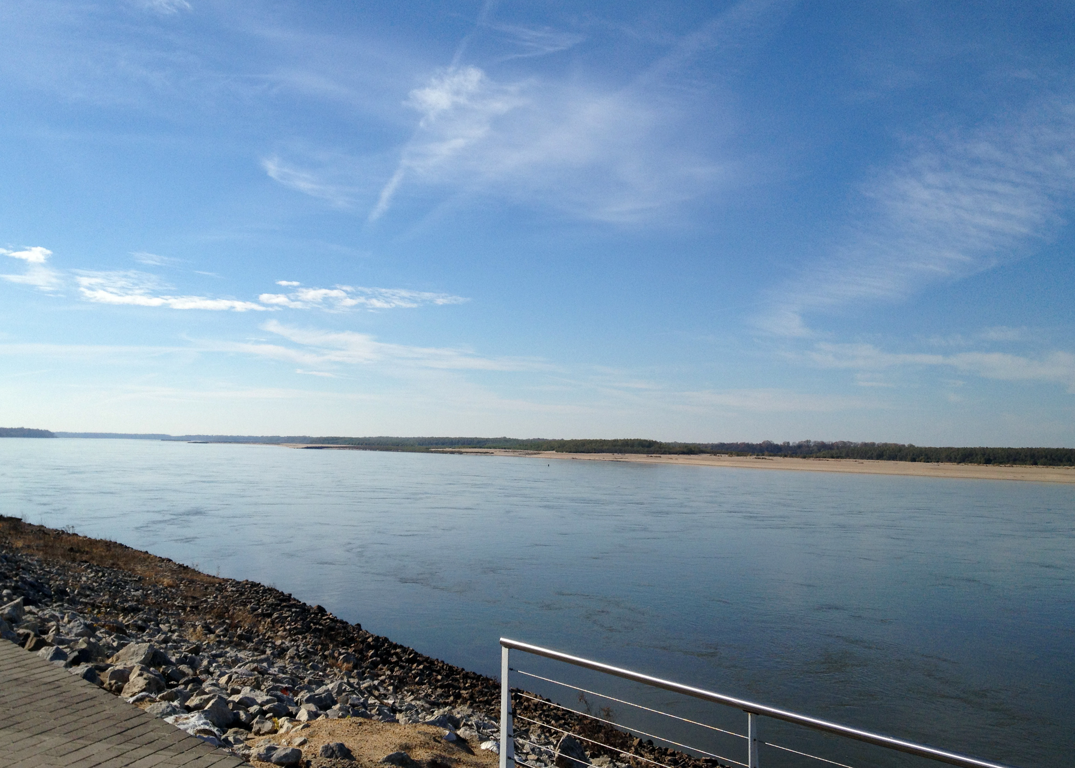
Mississippi River-Tunica, MS
Tunica Riverpark
Hughes Arkansas Water Tower
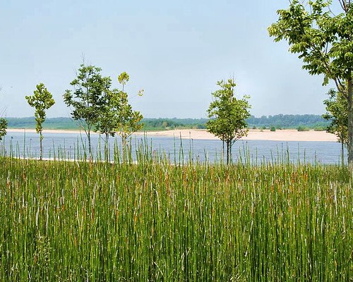
Ponds near Hughes Arkansas

Tunica Riverpark
Topographic Map of - Eason Rd, Hughes, AR, USA
Find elevation by address:

Places near - Eason Rd, Hughes, AR, USA:
1376-1432
Lucas Township
63 AR-38, Hughes, AR, USA
AR-50, Proctor, AR, USA
Dillahunty Rd, Hughes, AR, USA
Williford Rd, Hughes, AR, USA
Garland Township
Horseshoe Cir, Hughes, AR, USA
Hughes
Church St, Hughes, AR, USA
Horseshoe Cir, Hughes, AR, USA
Bob Ward Township
AR-, Proctor, AR, USA
Fitz Tunica Casino & Hotel
Proctor
County Rd, Hughes, AR, USA
AR-, Proctor, AR, USA
Bass Landing Rd, Lake Cormorant, MS, USA
Montgomery St, Proctor, AR, USA
Edmondson
Recent Searches:
- Elevation of Sadovaya Ulitsa, 20, Rezh, Sverdlovskaya oblast', Russia
- Elevation of Ulitsa Kalinina, 79, Rezh, Sverdlovskaya oblast', Russia
- Elevation of 72-31 Metropolitan Ave, Middle Village, NY, USA
- Elevation of 76 Metropolitan Ave, Brooklyn, NY, USA
- Elevation of Alisal Rd, Solvang, CA, USA
- Elevation of Vista Blvd, Sparks, NV, USA
- Elevation of 15th Ave SE, St. Petersburg, FL, USA
- Elevation of Beall Road, Beall Rd, Florida, USA
- Elevation of Leguwa, Nepal
- Elevation of County Rd, Enterprise, AL, USA