Elevation of Garland Township, AR, USA
Location: United States > Arkansas > St. Francis County >
Longitude: -90.469109
Latitude: 34.9718076
Elevation: 62m / 203feet
Barometric Pressure: 101KPa
Elevation Map:
Satellite Map:
Related Photos:
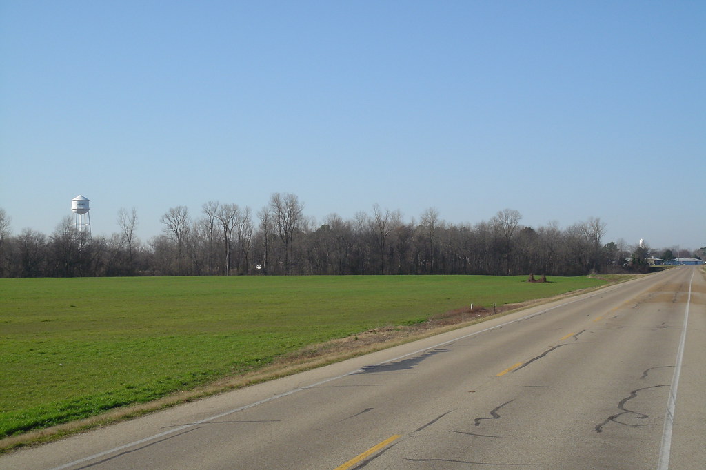
Hughes Arkansas Water Tower
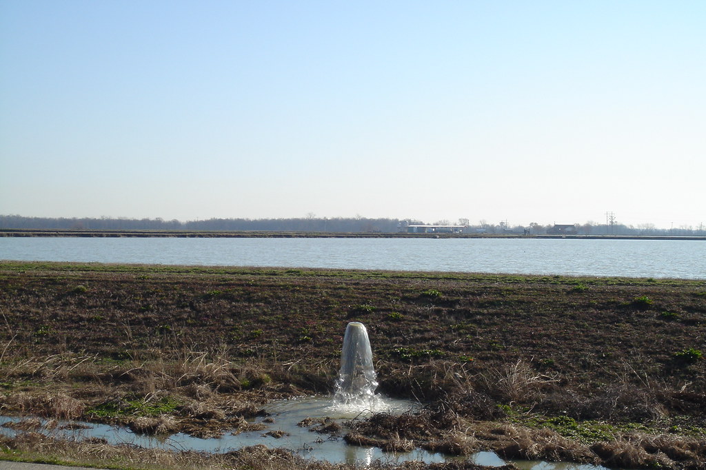
Ponds near Hughes Arkansas
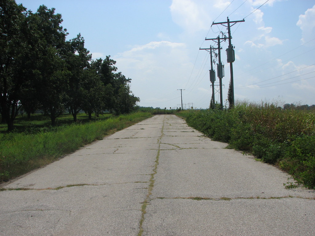
Old US 79
The Plan (for now anyway)
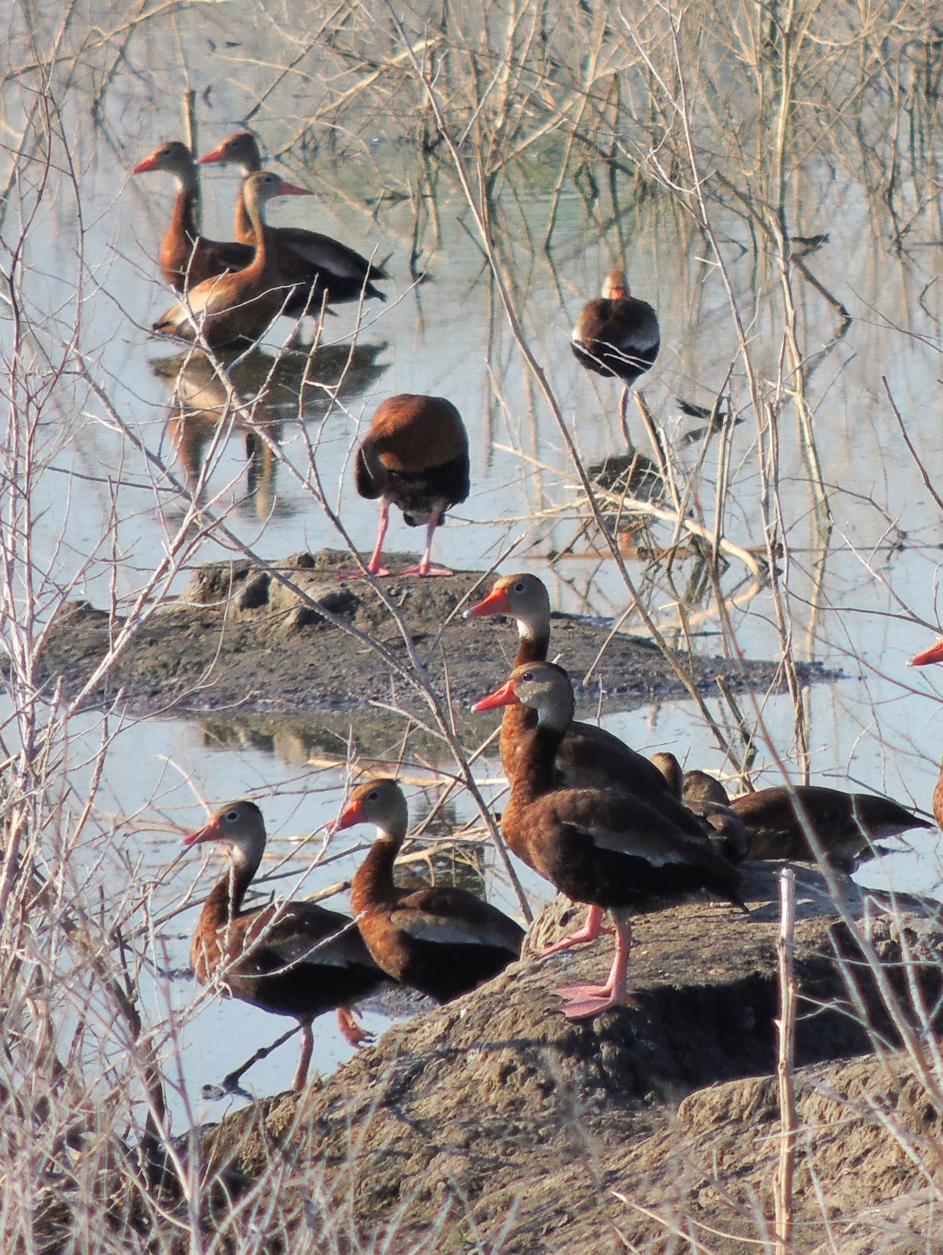
Black- Bellied Whistling Ducks
Topographic Map of Garland Township, AR, USA
Find elevation by address:

Places in Garland Township, AR, USA:
Places near Garland Township, AR, USA:
Hughes
Church St, Hughes, AR, USA
63 AR-38, Hughes, AR, USA
County Rd, Hughes, AR, USA
510-520
1376-1432
Lucas Township
AR-50, Proctor, AR, USA
Dillahunty Rd, Hughes, AR, USA
Horseshoe Cir, Hughes, AR, USA
Proctor
Williford Rd, Hughes, AR, USA
Bob Ward Township
Fitz Tunica Casino & Hotel
Griggs Township
Horseshoe Cir, Hughes, AR, USA
AR-75, Widener, AR, USA
AR-, Proctor, AR, USA
AR-, Proctor, AR, USA
Montgomery St, Proctor, AR, USA
Recent Searches:
- Elevation of Lytham Ln, Katy, TX, USA
- Elevation of Tater Hill, Oklahoma, USA
- Elevation of NY-, Friendship, NY, USA
- Elevation of 64 Danakas Dr, Winnipeg, MB R2C 5N7, Canada
- Elevation of 4 Vale Rd, Sheffield S3 9QX, UK
- Elevation of Keene Point Drive, Keene Point Dr, Grant, AL, USA
- Elevation of State St, Zanesville, OH, USA
- Elevation of Austin Stone Dr, Haslet, TX, USA
- Elevation of Bydgoszcz, Poland
- Elevation of Bydgoszcz, Poland