Elevation of Robinsonville, MS, USA
Location: United States > Mississippi > Tunica County >
Longitude: -90.316208
Latitude: 34.8173207
Elevation: 60m / 197feet
Barometric Pressure: 101KPa
Elevation Map:
Satellite Map:
Related Photos:

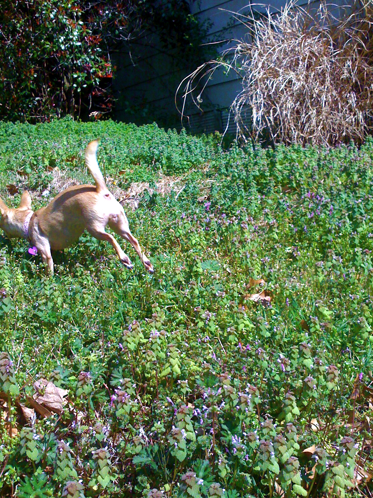
Lola on the Hill

Awesome speaker welcome at #SoMeT
Lola Landing
View east to Levee
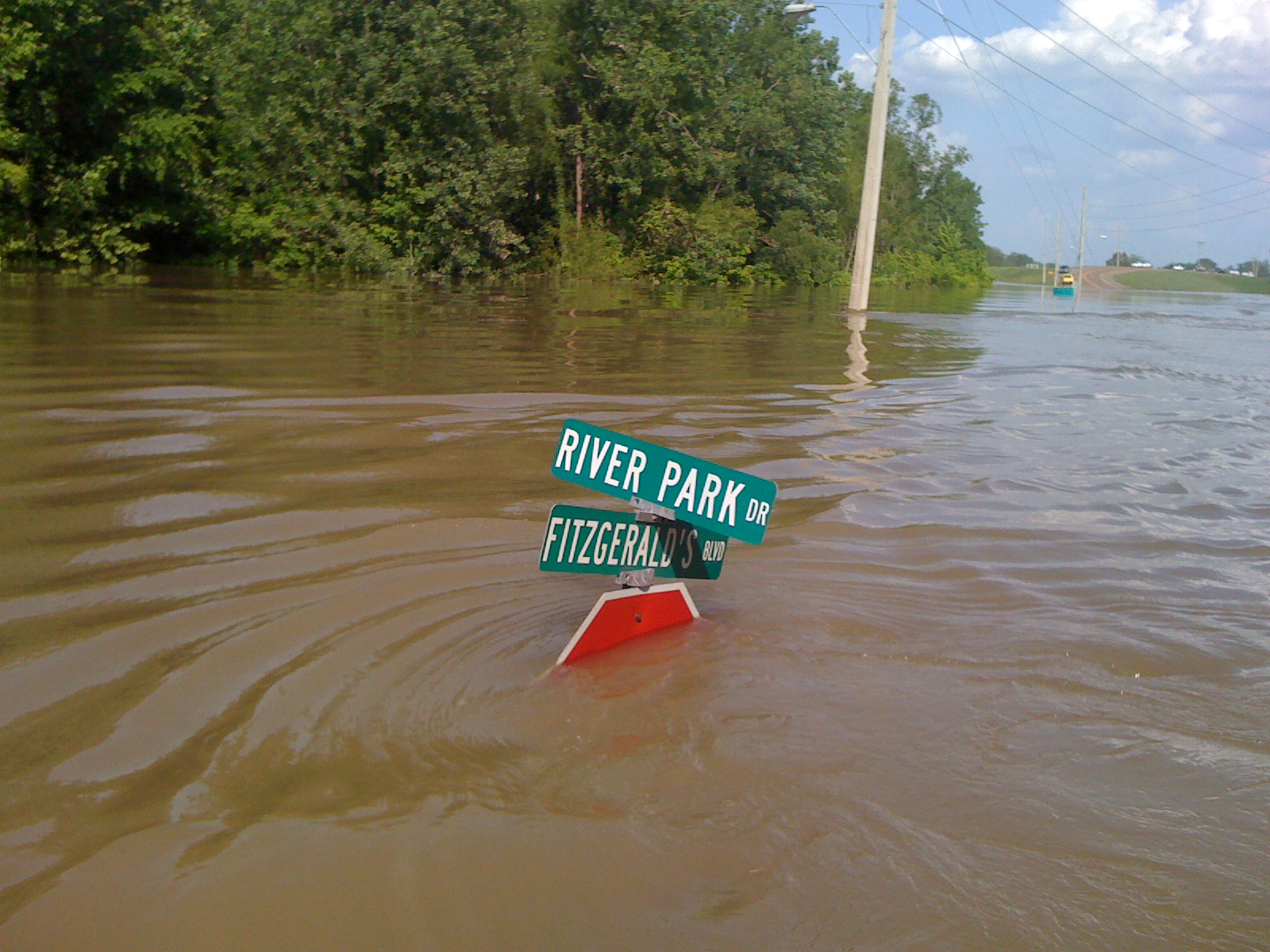
View W down Fitz Blvd
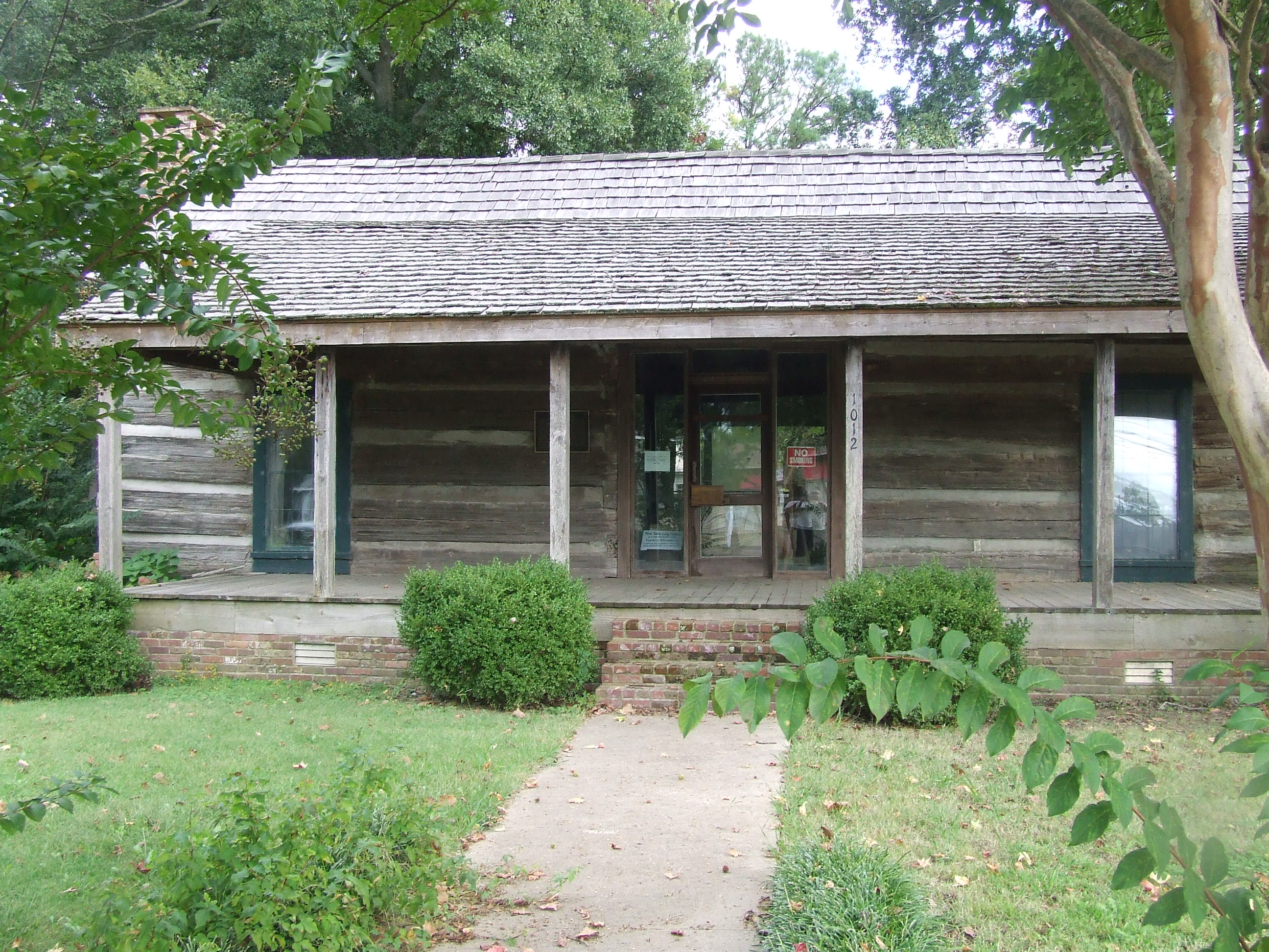
Tate House front view
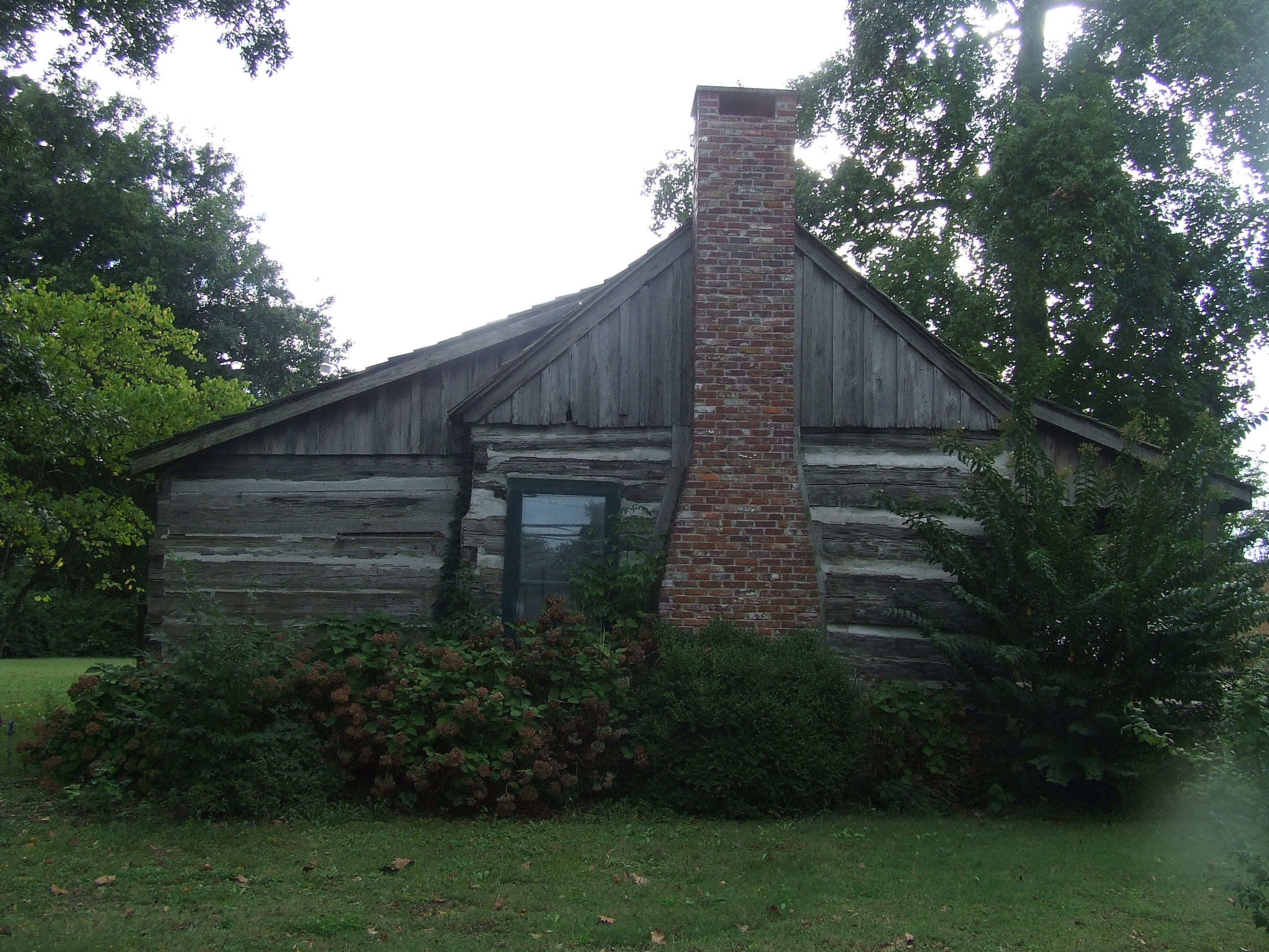
Tate House side view
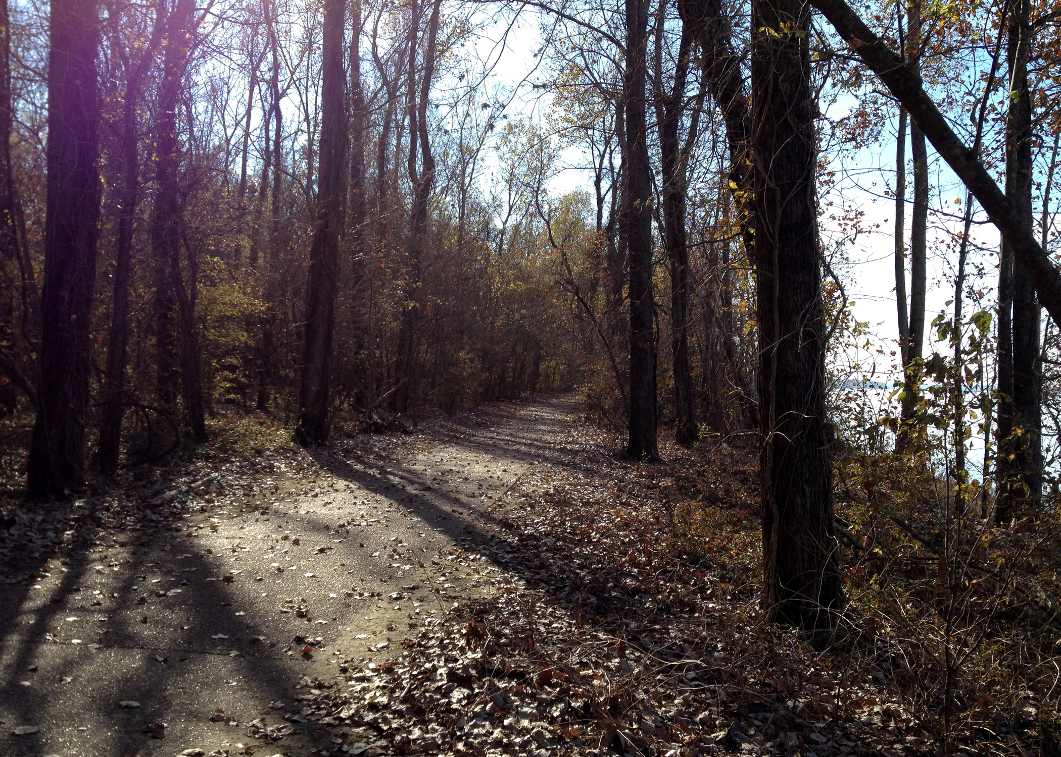
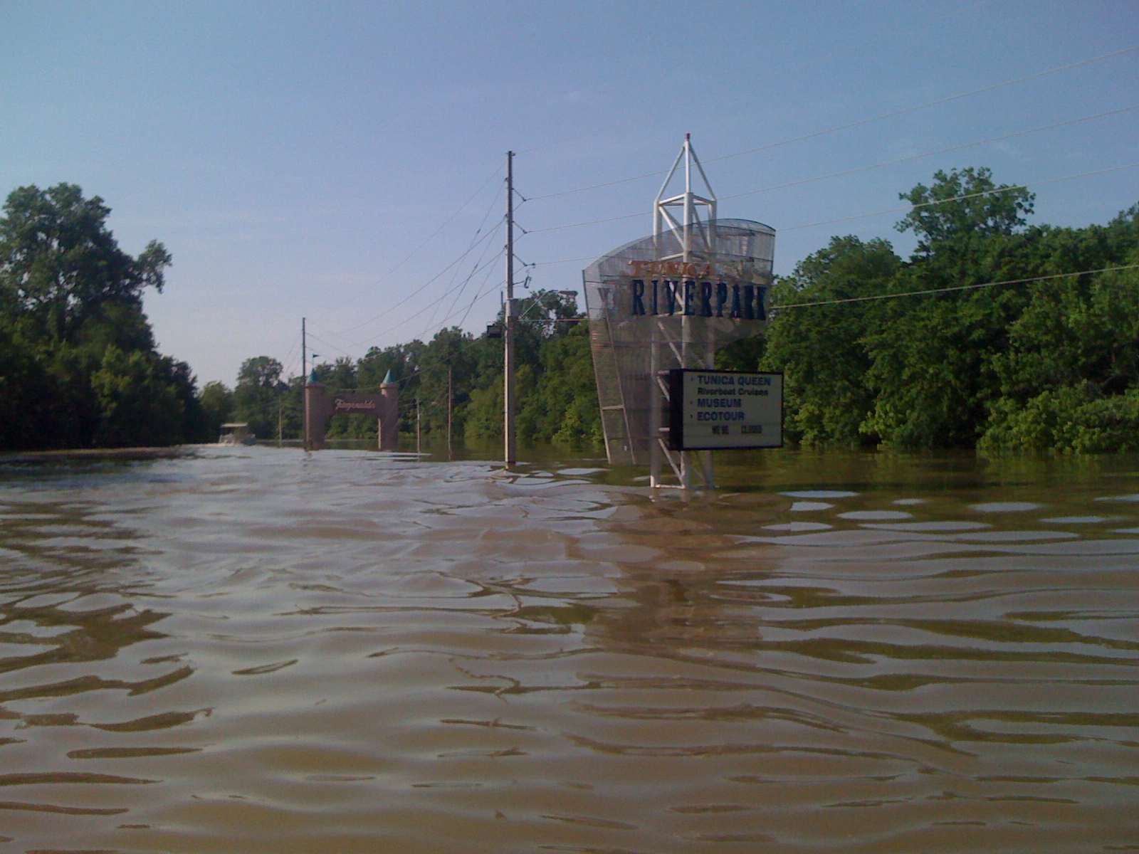
Tunica Riverpark
Tunica Riverpark
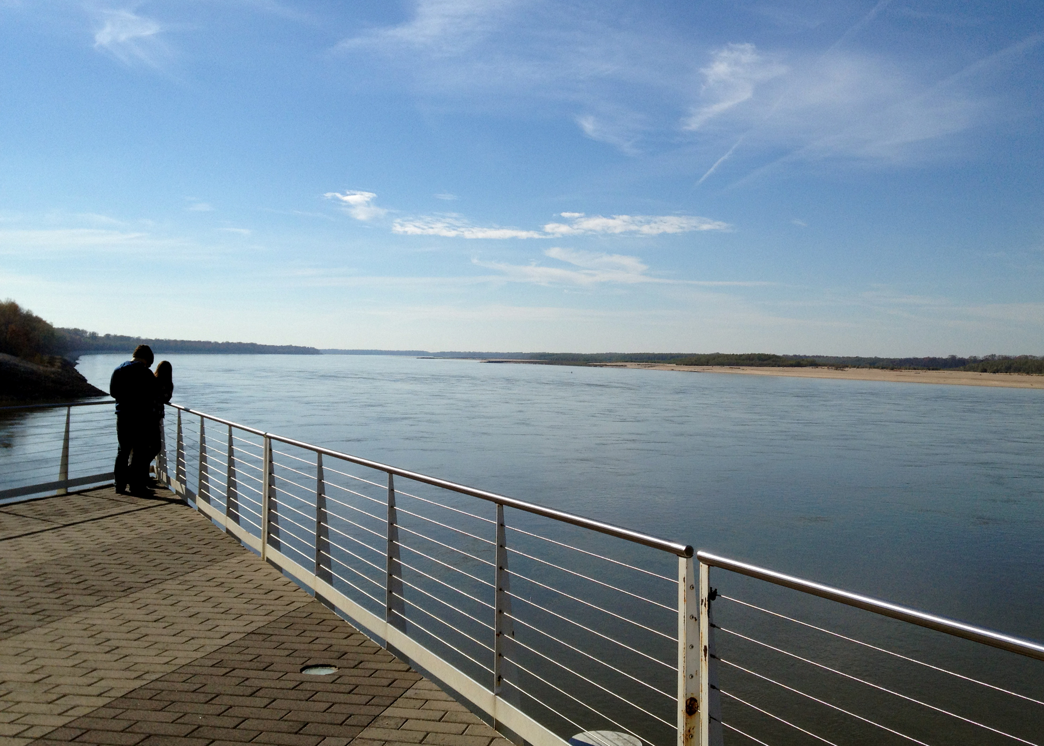
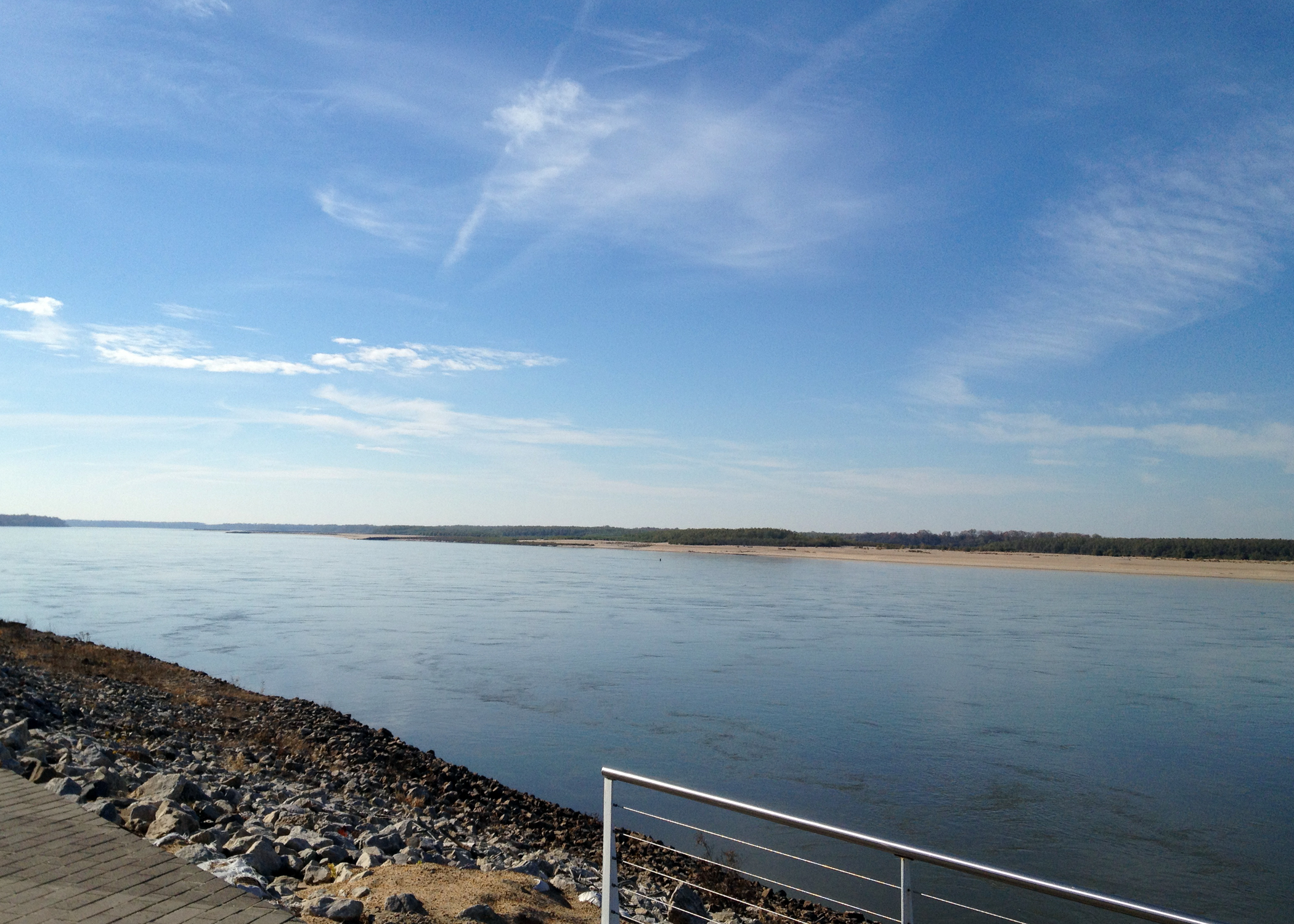
Mississippi River-Tunica, MS
Tunica Riverpark
Mississippi River-Tunica, MS

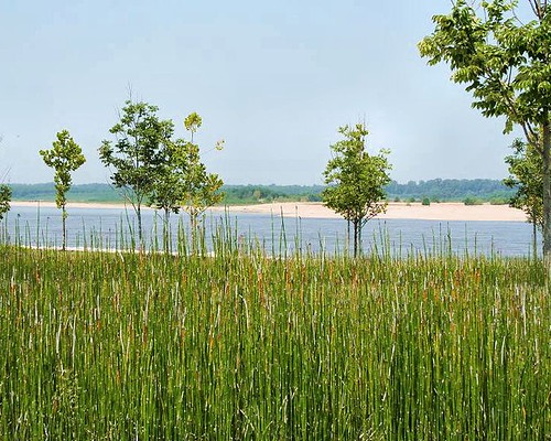
Rice field

Down on the boardwalk.... #lake #boardwalk #lakelife #sunshine #water

Mississippi Delta
Old Kia Kima Campout - Oct 2007
Topographic Map of Robinsonville, MS, USA
Find elevation by address:

Places near Robinsonville, MS, USA:
Tunica Resorts
Fitz Tunica Casino & Hotel
MS-3, Robinsonville, MS, USA
Horseshoe Cir, Hughes, AR, USA
MS-3, Robinsonville, MS, USA
Horseshoe Cir, Hughes, AR, USA
Lucas Township
North Tunica
Lake Cormorant
Justice Court Clerk
1376-1432
264 Northstar Dr
Tunica
Bass Landing Rd, Lake Cormorant, MS, USA
Williford Rd, Hughes, AR, USA
510-520
63 AR-38, Hughes, AR, USA
8368 Ms-4
3905 Arkabutla Dam Rd
Tunica County
Recent Searches:
- Elevation of Congressional Dr, Stevensville, MD, USA
- Elevation of Bellview Rd, McLean, VA, USA
- Elevation of Stage Island Rd, Chatham, MA, USA
- Elevation of Shibuya Scramble Crossing, 21 Udagawacho, Shibuya City, Tokyo -, Japan
- Elevation of Jadagoniai, Kaunas District Municipality, Lithuania
- Elevation of Pagonija rock, Kranto 7-oji g. 8"N, Kaunas, Lithuania
- Elevation of Co Rd 87, Jamestown, CO, USA
- Elevation of Tenjo, Cundinamarca, Colombia
- Elevation of Côte-des-Neiges, Montreal, QC H4A 3J6, Canada
- Elevation of Bobcat Dr, Helena, MT, USA