Elevation of 33 Robin Hood Dr, Cedartown, GA, USA
Location: United States > Georgia > Polk County > Cedartown >
Longitude: -85.254378
Latitude: 34.054266
Elevation: 259m / 850feet
Barometric Pressure: 98KPa
Elevation Map:
Satellite Map:
Related Photos:
Rural View, Polk County, GA

Walled-Off Spring

The view from the high point
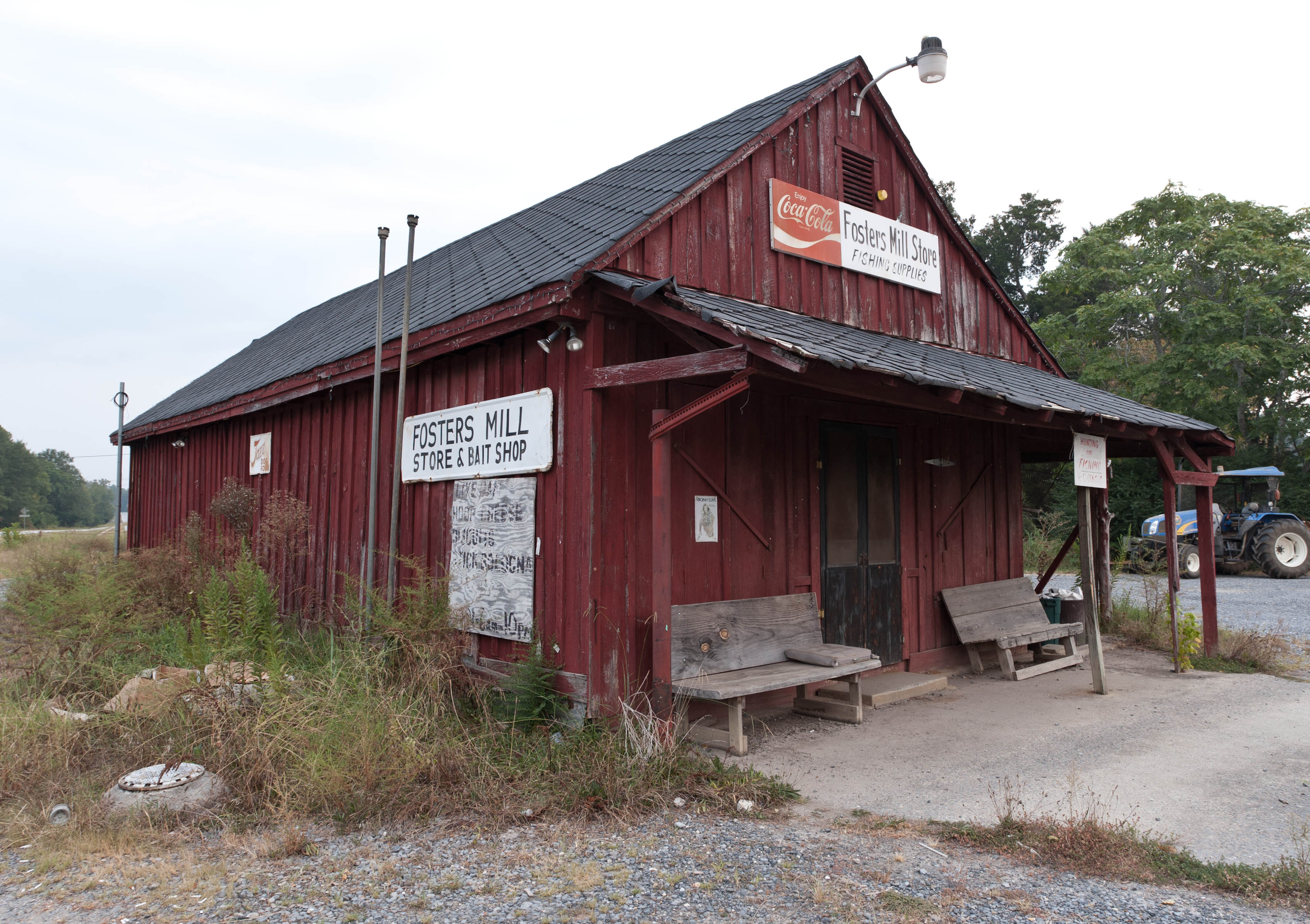
Fishing Supplies

Spring and Creek, Youngs, Georgia

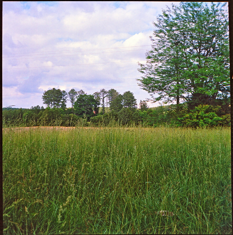
Landscape, Polk County, GA

Going Native

Morning dew

Morning rays

Big Cedar Creek, Floyd County, Georgia 5
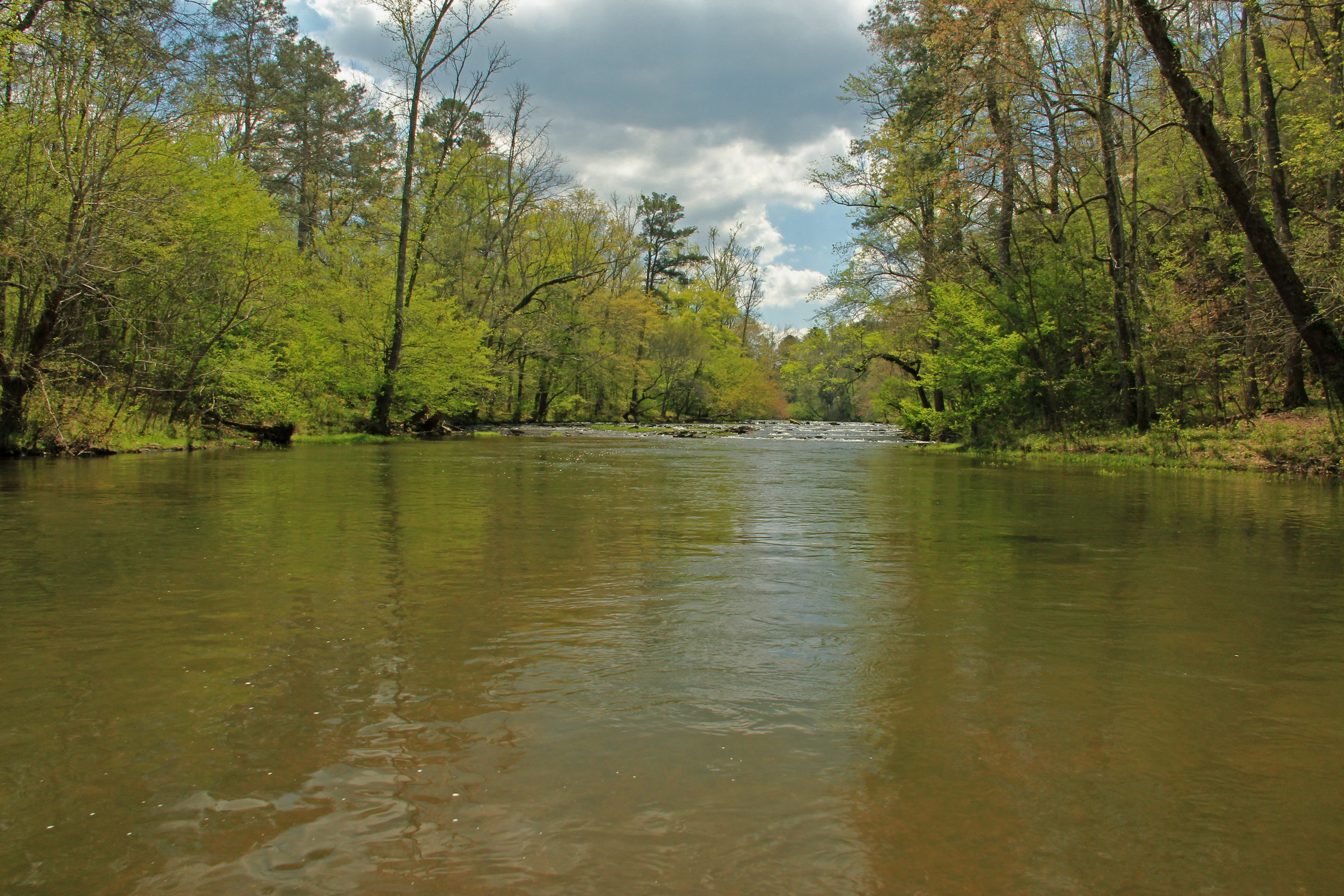
Big Cedar Creek, Floyd County, Georgia 2

Rolater Park / iPad 2 Camera, August 13, 2011

Big Cedar Creek, Floyd County, Georgia 3

Morning rays

Stitched Panorama of Polk County Farmland

Pleasant Grove 2

Pecan Tree, Polk County, GA

The Dam
Topographic Map of 33 Robin Hood Dr, Cedartown, GA, USA
Find elevation by address:

Places near 33 Robin Hood Dr, Cedartown, GA, USA:
North Broad Street
858 Lake Creek Rd
Cedartown
Chubb Rd, Cave Spring, GA, USA
Cedar Hill Senior Living Community
726 Piedmont Hwy
9 Reeceburg Rd SE, Silver Creek, GA, USA
Buchanan Hwy, Cedartown, GA, USA
Fish Creek Road
209 Tate Rd
47 Wooten Rd
2022 Piedmont Hwy
Polk County
Byrd Station Rd, Silver Creek, GA, USA
207 Byrd Station Rd
Rockmart Hwy, Rockmart, GA, USA
Old Cedartown Rd & Sardis Rd
Old Rome Rd, Aragon, GA, USA
188 M C Beck Rd
3376 Morgan Valley Rd
Recent Searches:
- Elevation of Côte-des-Neiges, Montreal, QC H4A 3J6, Canada
- Elevation of Bobcat Dr, Helena, MT, USA
- Elevation of Zu den Ihlowbergen, Althüttendorf, Germany
- Elevation of Badaber, Peshawar, Khyber Pakhtunkhwa, Pakistan
- Elevation of SE Heron Loop, Lincoln City, OR, USA
- Elevation of Slanický ostrov, 01 Námestovo, Slovakia
- Elevation of Spaceport America, Co Rd A, Truth or Consequences, NM, USA
- Elevation of Warwick, RI, USA
- Elevation of Fern Rd, Whitmore, CA, USA
- Elevation of 62 Abbey St, Marshfield, MA, USA