Elevation of Chubb Rd, Cave Spring, GA, USA
Location: United States > Georgia > Floyd County > Cave Spring >
Longitude: -85.281797
Latitude: 34.088767
Elevation: 219m / 719feet
Barometric Pressure: 99KPa
Elevation Map:
Satellite Map:
Related Photos:

Awaiting the Pay Train at the Lindale Station, Floyd County, Georgia ca. 1937
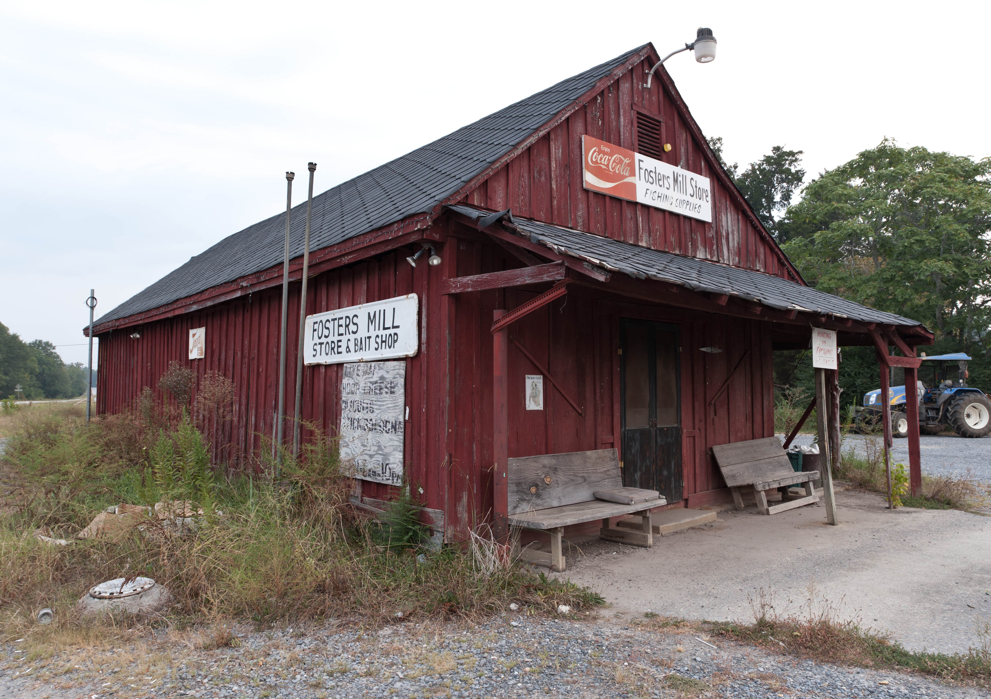
Fishing Supplies
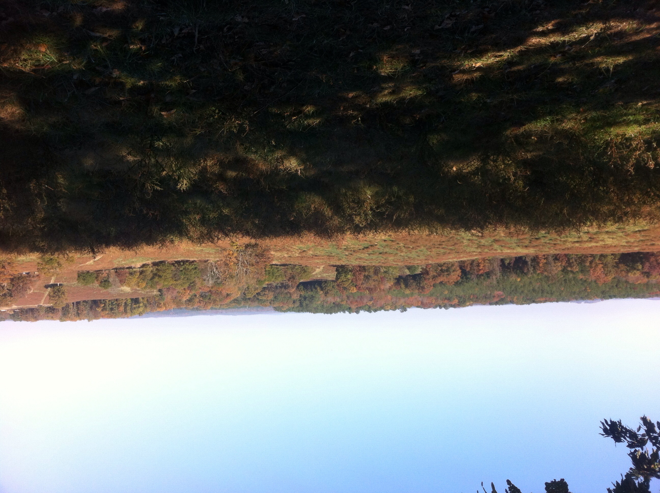
The view from the high point

Mill_Creek_Falls_12032011_HDR_001.jpg
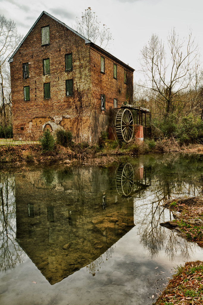
Lindale_Waterwheel_12202011_HDR_006.jpg
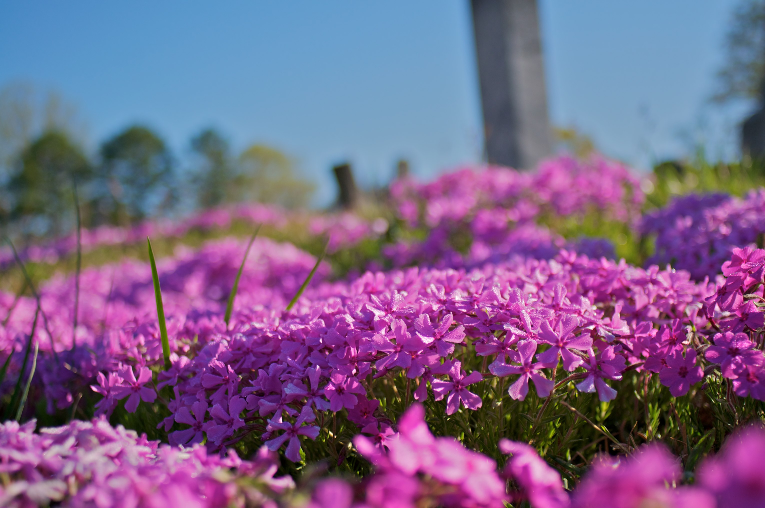
Going Native
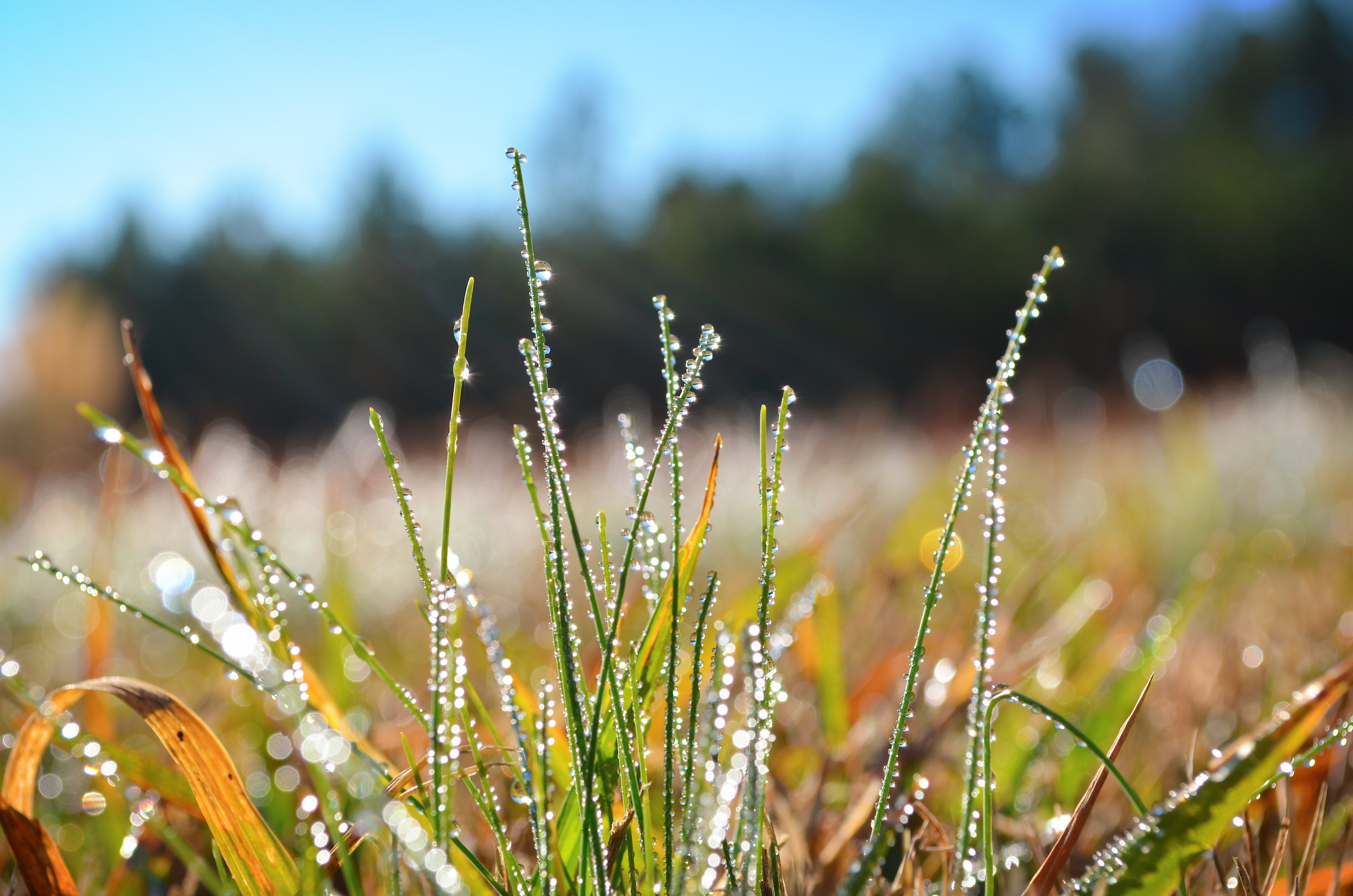
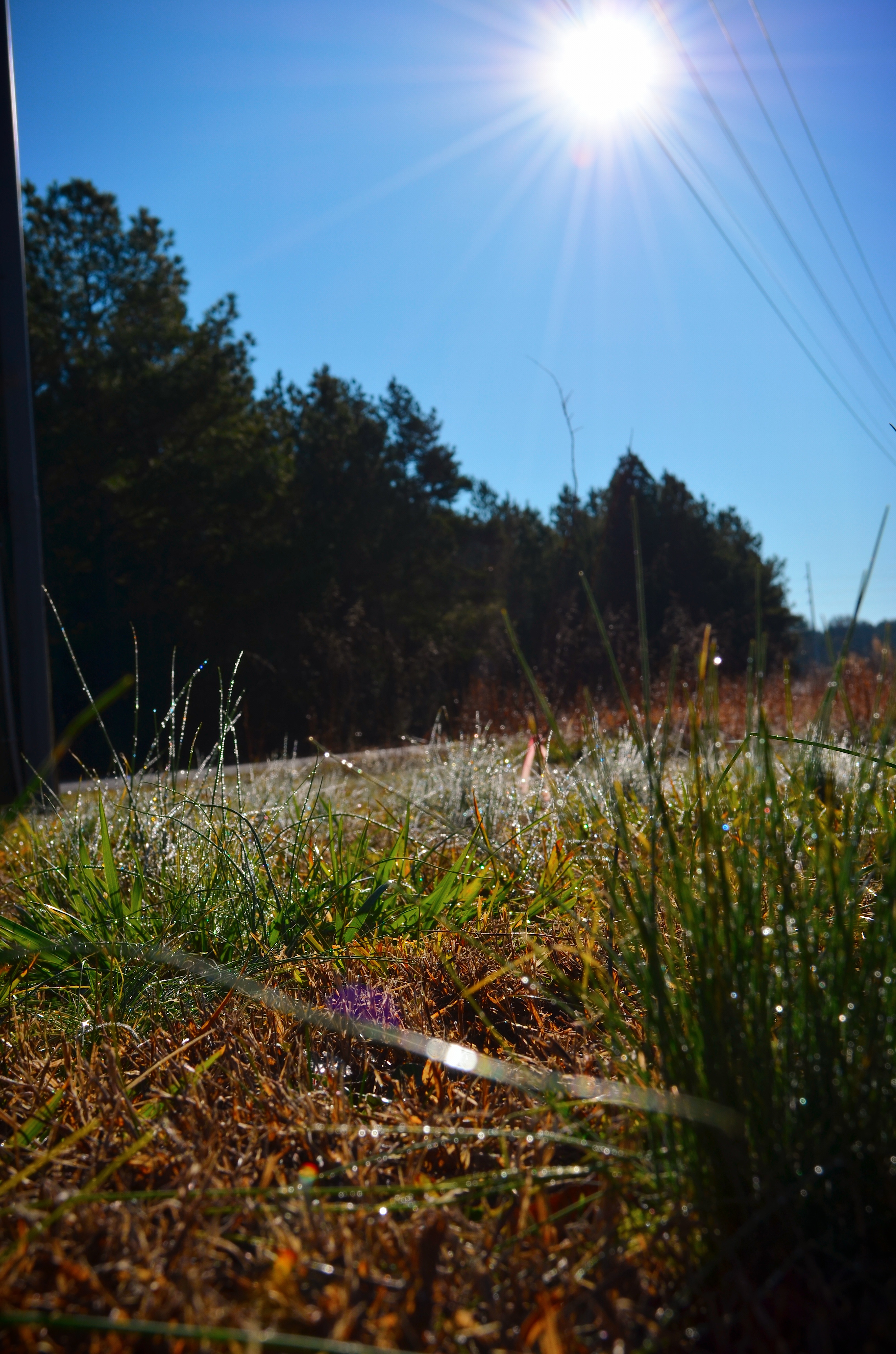
Morning dew

Morning rays
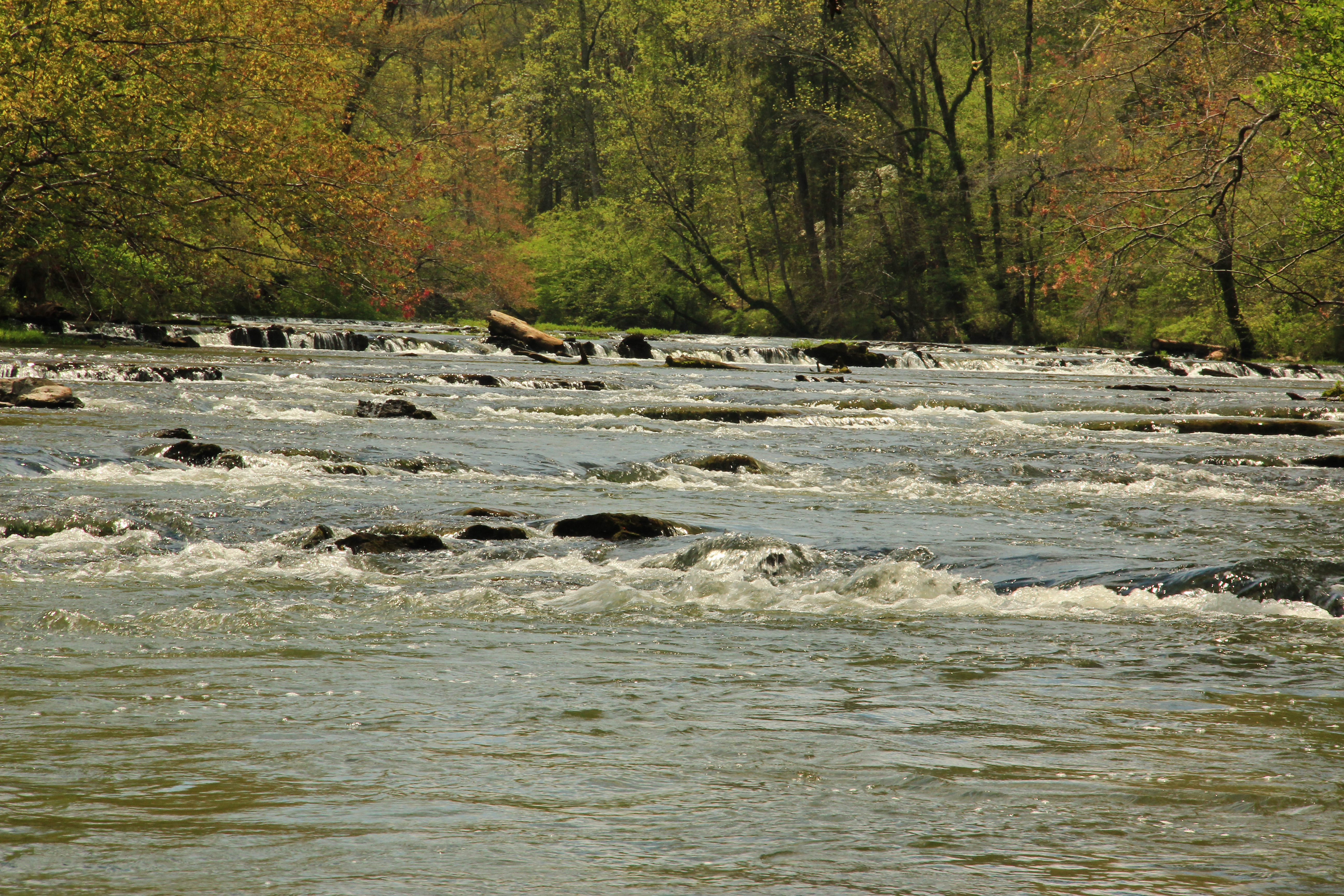
Big Cedar Creek, Floyd County, Georgia 5
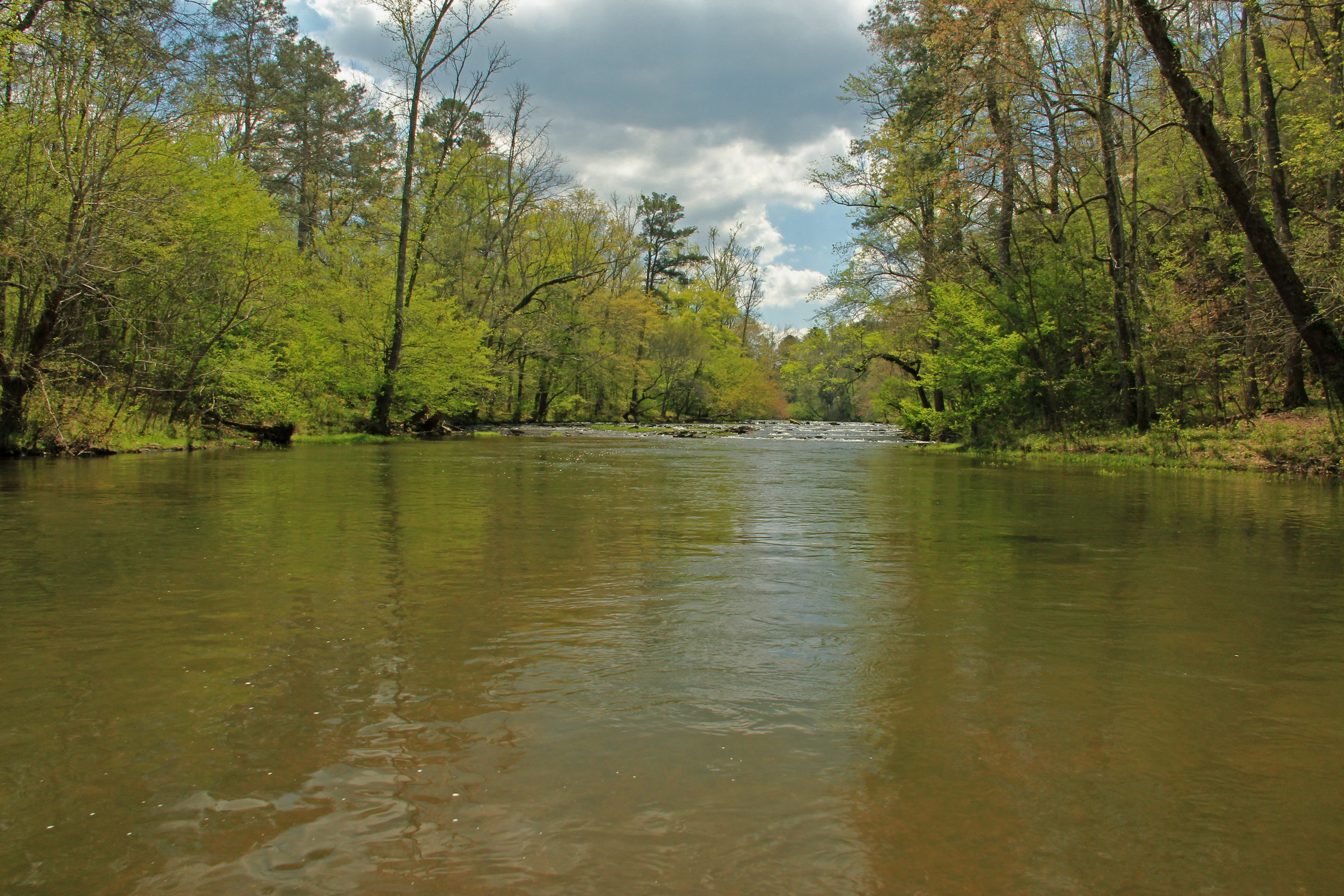
Big Cedar Creek, Floyd County, Georgia 2
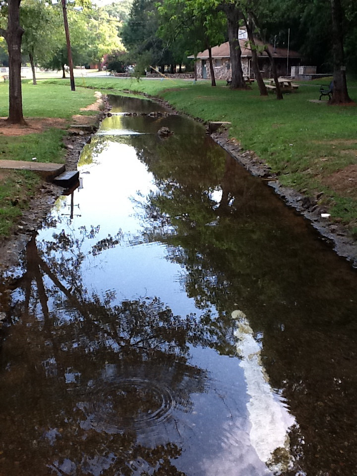
Rolater Park / iPad 2 Camera, August 13, 2011
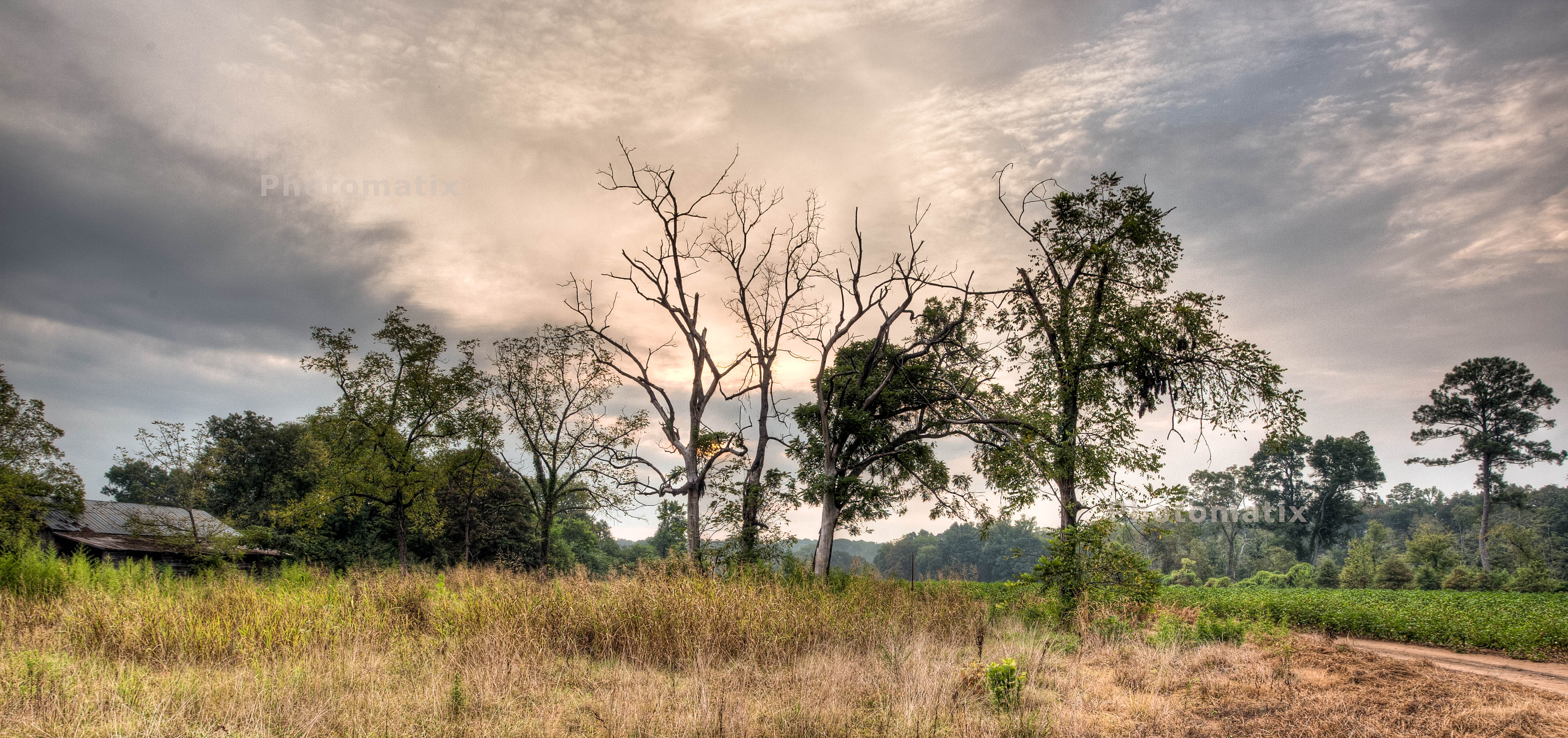
Morning rays
Pleasant Grove 2
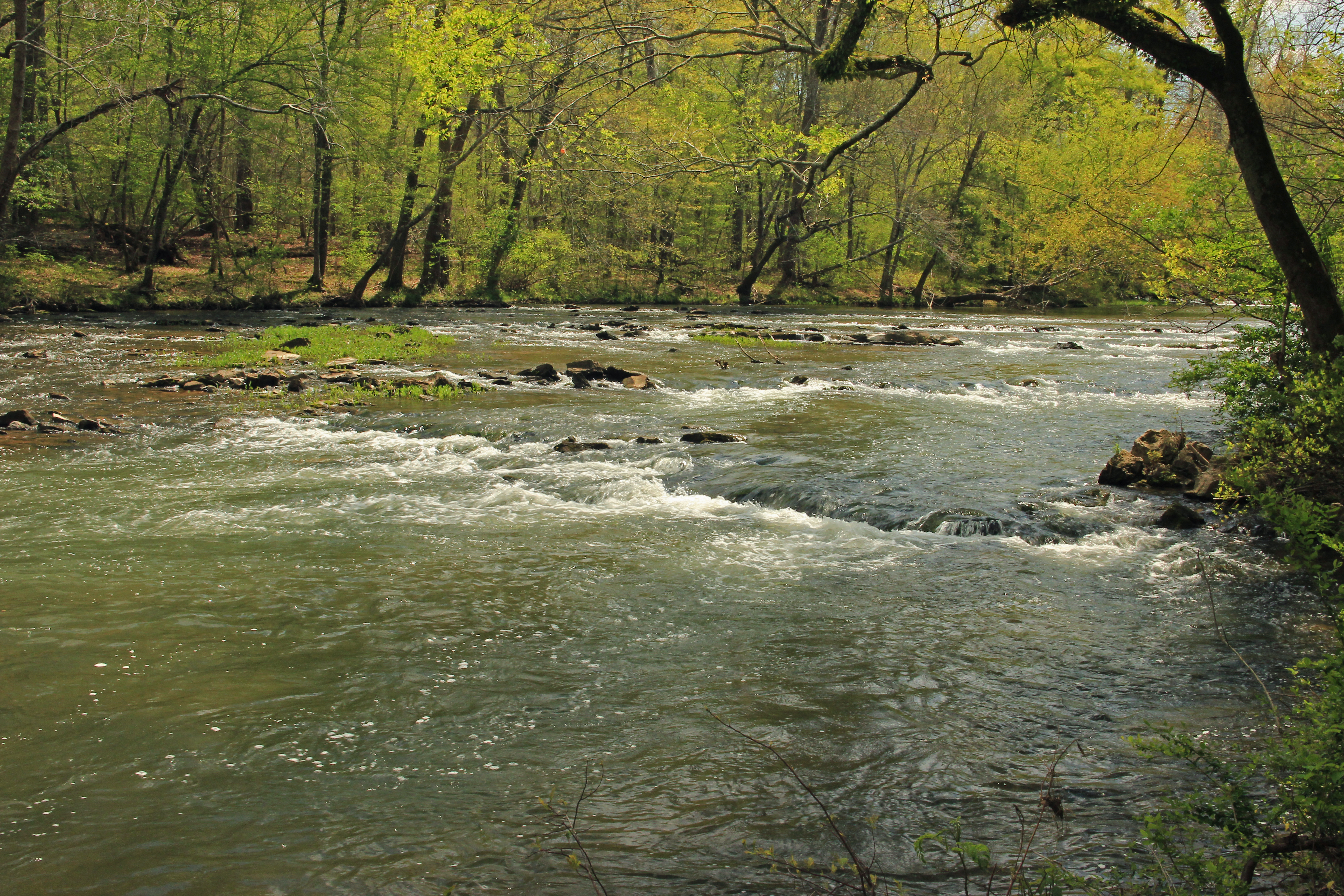
Big Cedar Creek, Floyd County, Georgia 3
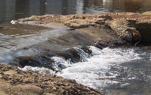
The Dam
Topographic Map of Chubb Rd, Cave Spring, GA, USA
Find elevation by address:

Places near Chubb Rd, Cave Spring, GA, USA:
33 Robin Hood Dr, Cedartown, GA, USA
858 Lake Creek Rd
Cedartown
North Broad Street
9 Reeceburg Rd SE, Silver Creek, GA, USA
726 Piedmont Hwy
Cedar Hill Senior Living Community
Buchanan Hwy, Cedartown, GA, USA
2022 Piedmont Hwy
Fish Creek Road
209 Tate Rd
Byrd Station Rd, Silver Creek, GA, USA
207 Byrd Station Rd
Prior Station Rd, Cedartown, GA, USA
47 Wooten Rd
188 M C Beck Rd
Polk County
Old Rome Rd, Aragon, GA, USA
Rockmart Hwy, Rockmart, GA, USA
17 Hulsey Rd
Recent Searches:
- Elevation of Unnamed Road, Respublika Severnaya Osetiya — Alaniya, Russia
- Elevation of Verkhny Fiagdon, North Ossetia–Alania Republic, Russia
- Elevation of F. Viola Hiway, San Rafael, Bulacan, Philippines
- Elevation of Herbage Dr, Gulfport, MS, USA
- Elevation of Lilac Cir, Haldimand, ON N3W 2G9, Canada
- Elevation of Harrod Branch Road, Harrod Branch Rd, Kentucky, USA
- Elevation of Wyndham Grand Barbados Sam Lords Castle All Inclusive Resort, End of Belair Road, Long Bay, Bridgetown Barbados
- Elevation of Iga Trl, Maggie Valley, NC, USA
- Elevation of N Co Rd 31D, Loveland, CO, USA
- Elevation of Lindever Ln, Palmetto, FL, USA