Elevation of Cedar Hill Senior Living Community, E Ellawood Ave, Cedartown, GA, USA
Location: United States > Georgia > Polk County > Cedartown >
Longitude: -85.246727
Latitude: 34.0006293
Elevation: 255m / 837feet
Barometric Pressure: 98KPa
Elevation Map:
Satellite Map:
Related Photos:
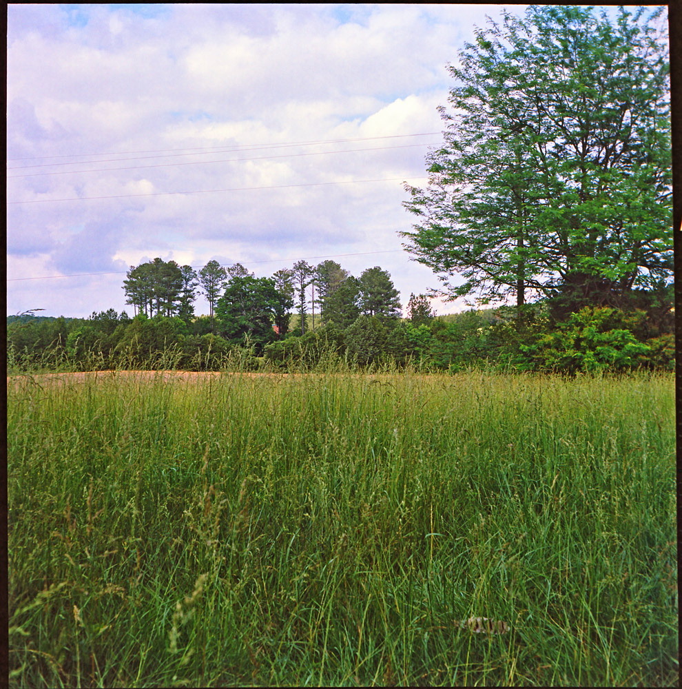
Rural View, Polk County, GA
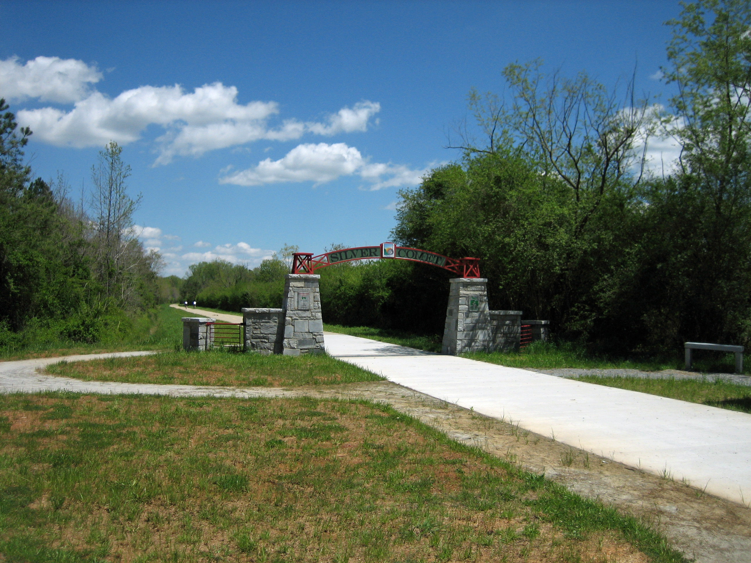
Silver Comet
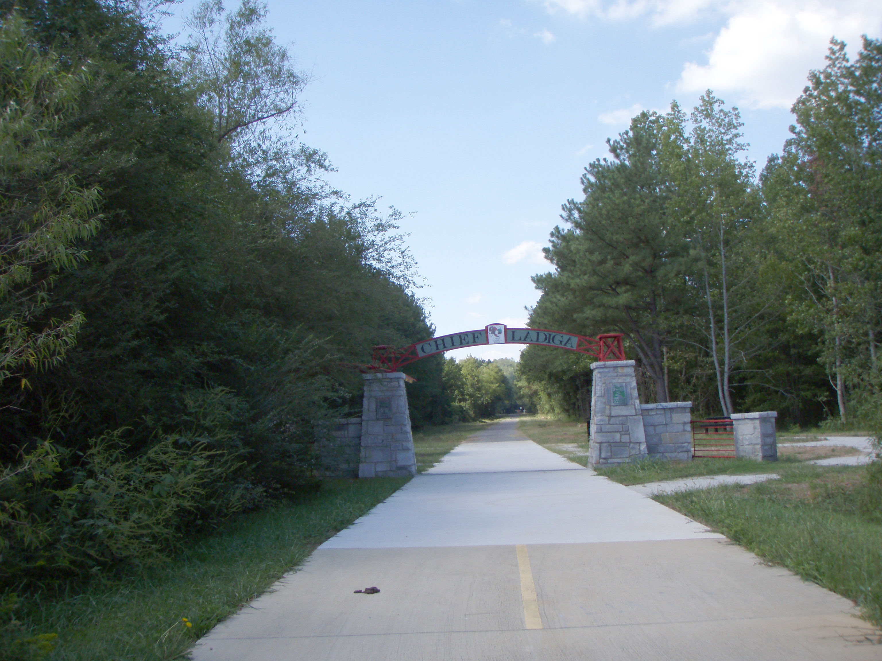
The Georgia / Alabama Border on the Silver Comet Trail
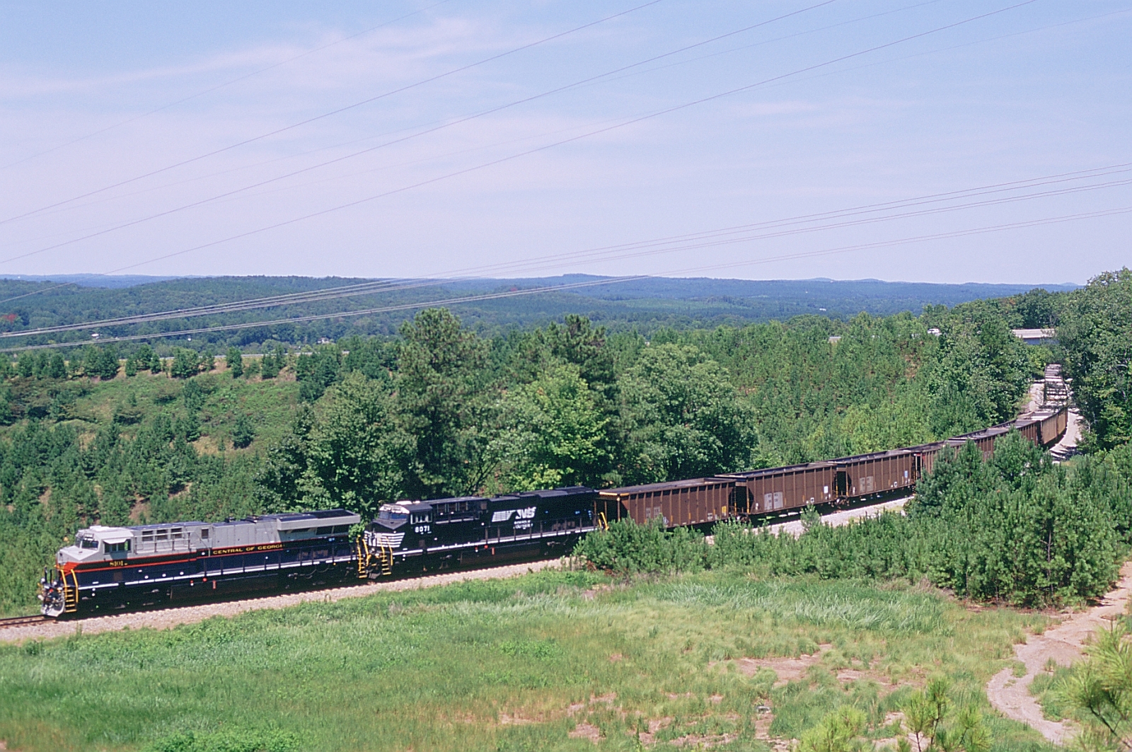
703 Northbound
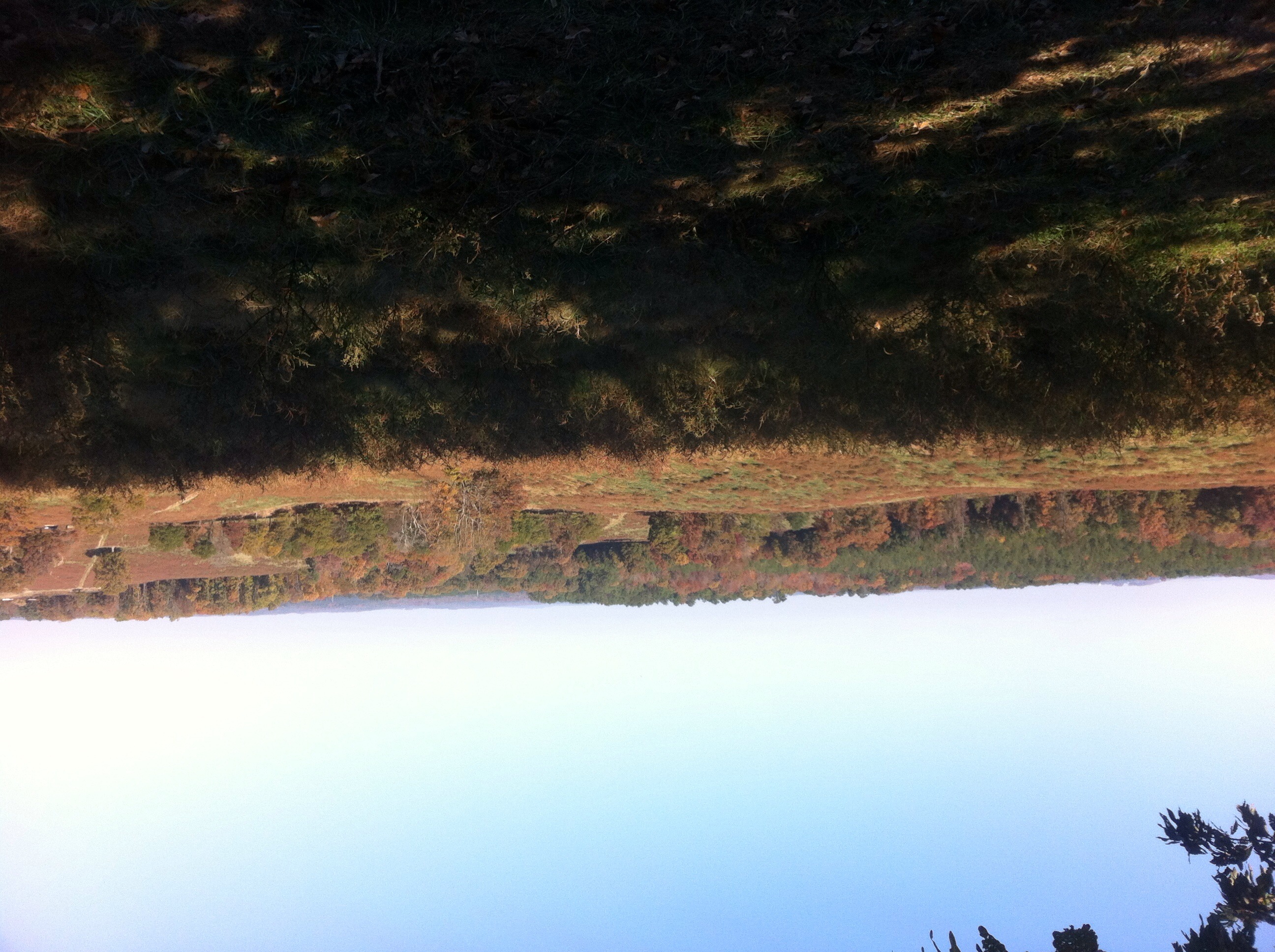
The view from the high point

Morning rays

Clear Shot
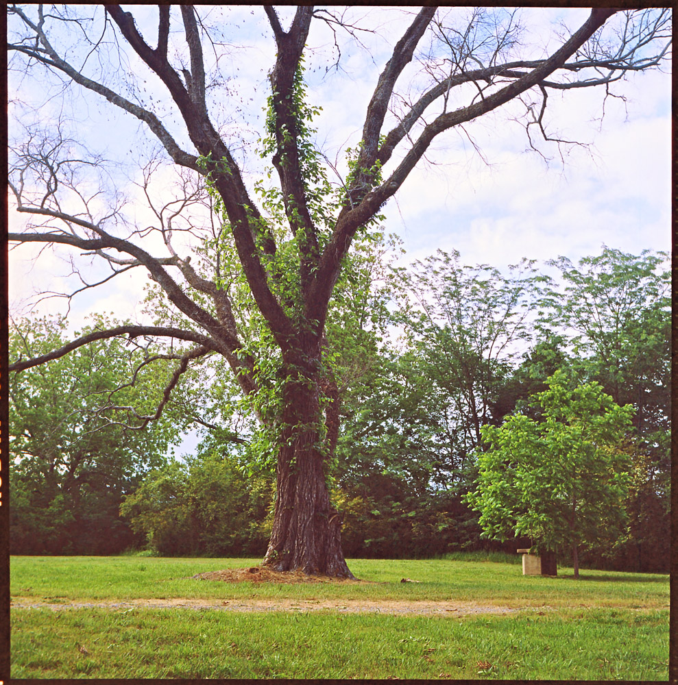
Pecan Tree, Polk County, GA

Spring and Creek, Youngs, Georgia
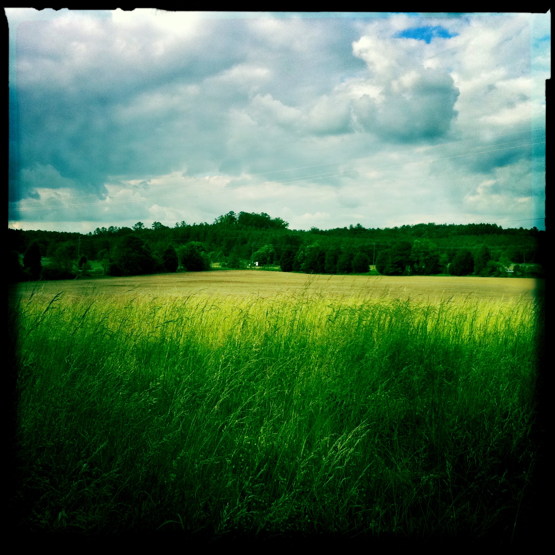
Landscape, Polk County, GA
K&K Wedding-78
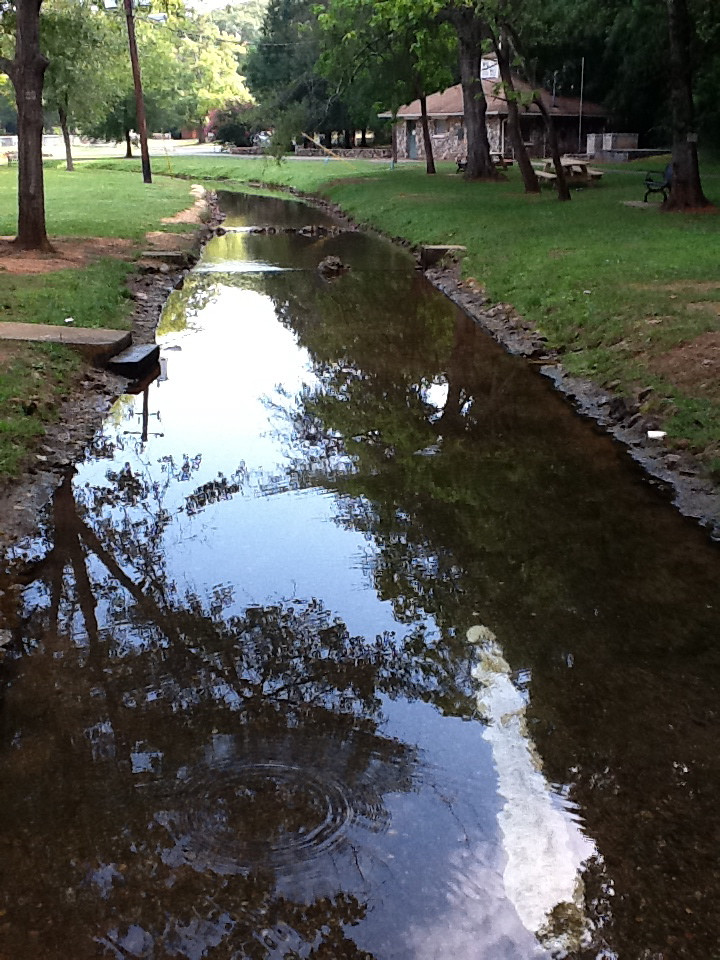
Rolater Park / iPad 2 Camera, August 13, 2011
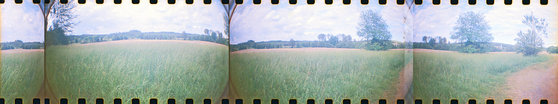
Stitched Panorama of Polk County Farmland
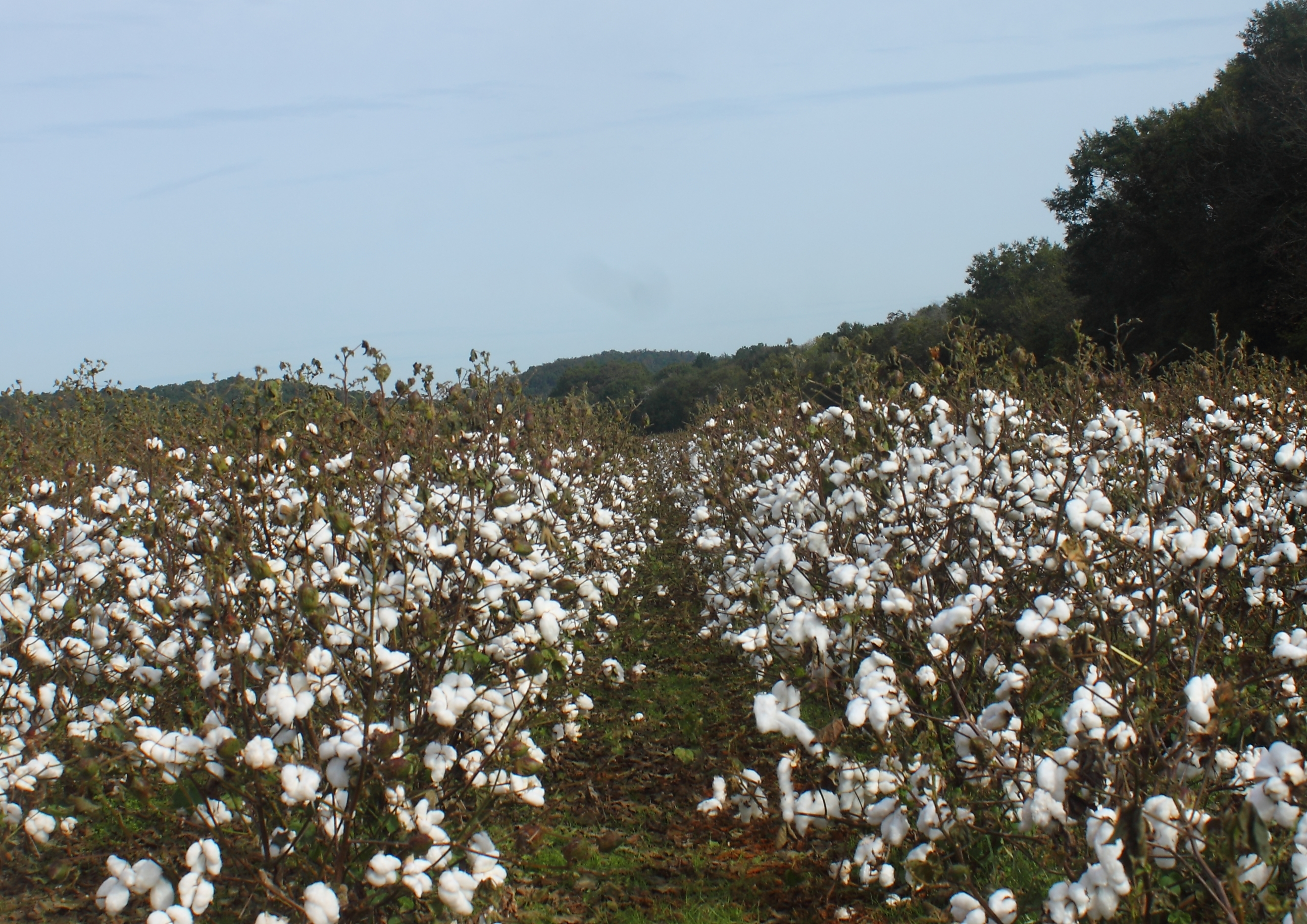
Old Cotton Fields
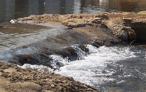
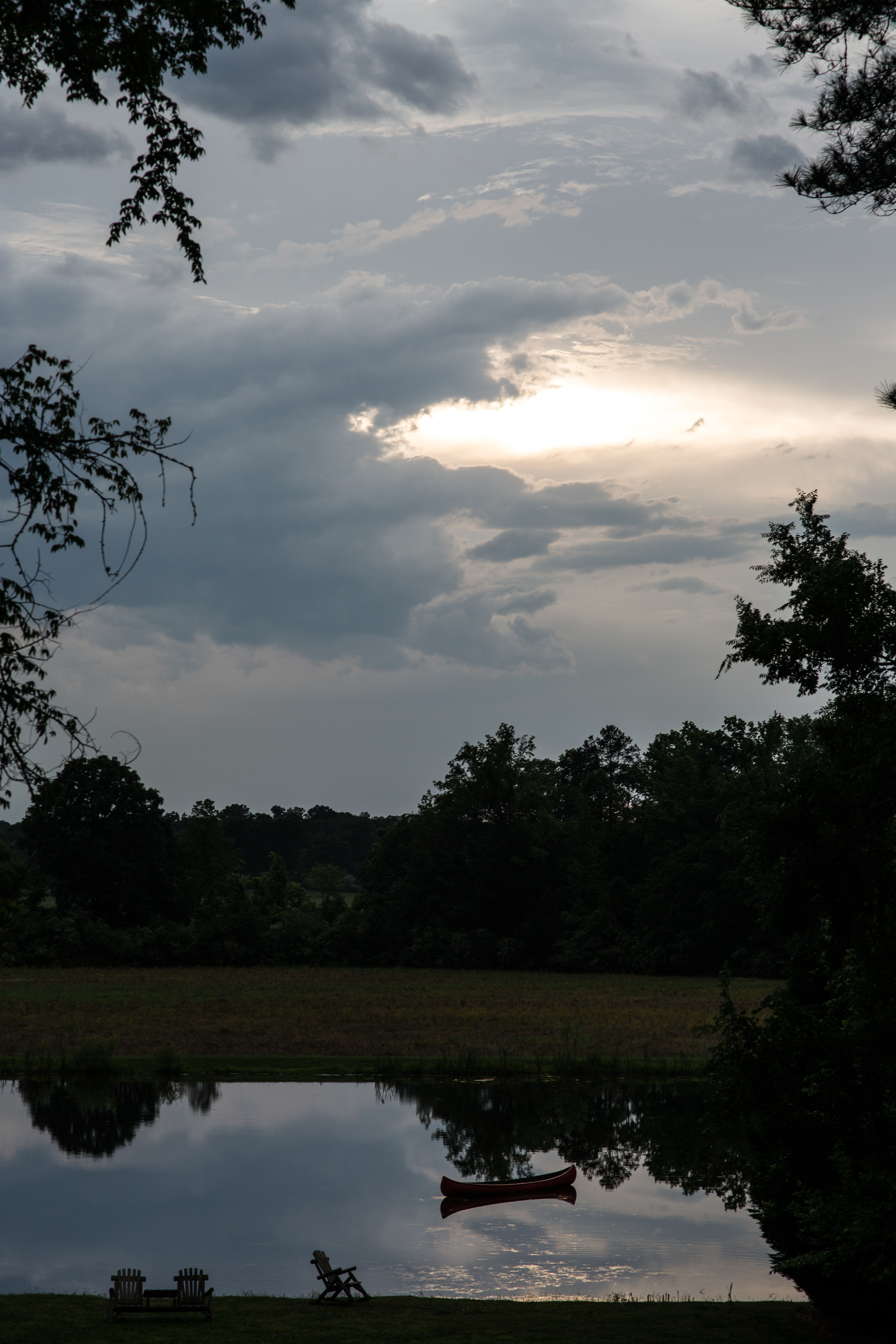
The Dam
Topographic Map of Cedar Hill Senior Living Community, E Ellawood Ave, Cedartown, GA, USA
Find elevation by address:

Places near Cedar Hill Senior Living Community, E Ellawood Ave, Cedartown, GA, USA:
North Broad Street
Cedartown
Buchanan Hwy, Cedartown, GA, USA
209 Tate Rd
726 Piedmont Hwy
47 Wooten Rd
33 Robin Hood Dr, Cedartown, GA, USA
2022 Piedmont Hwy
858 Lake Creek Rd
Chubb Rd, Cave Spring, GA, USA
Fish Creek Road
Polk County
3376 Morgan Valley Rd
9 Reeceburg Rd SE, Silver Creek, GA, USA
Old Cedartown Rd & Sardis Rd
Rockmart Hwy, Rockmart, GA, USA
188 M C Beck Rd
207 Byrd Station Rd
Byrd Station Rd, Silver Creek, GA, USA
Old Rome Rd, Aragon, GA, USA
Recent Searches:
- Elevation of Gateway Blvd SE, Canton, OH, USA
- Elevation of East W.T. Harris Boulevard, E W.T. Harris Blvd, Charlotte, NC, USA
- Elevation of West Sugar Creek, Charlotte, NC, USA
- Elevation of Wayland, NY, USA
- Elevation of Steadfast Ct, Daphne, AL, USA
- Elevation of Lagasgasan, X+CQH, Tiaong, Quezon, Philippines
- Elevation of Rojo Ct, Atascadero, CA, USA
- Elevation of Flagstaff Drive, Flagstaff Dr, North Carolina, USA
- Elevation of Avery Ln, Lakeland, FL, USA
- Elevation of Woolwine, VA, USA