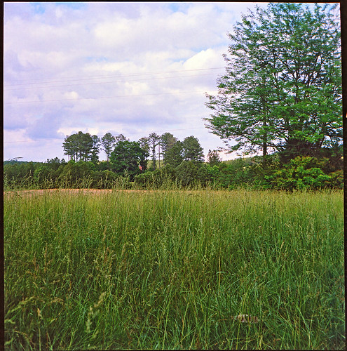
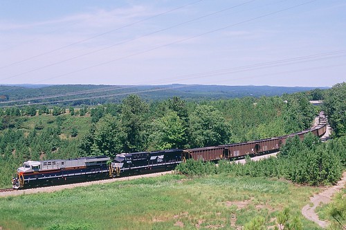
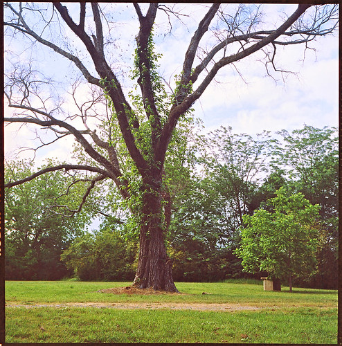
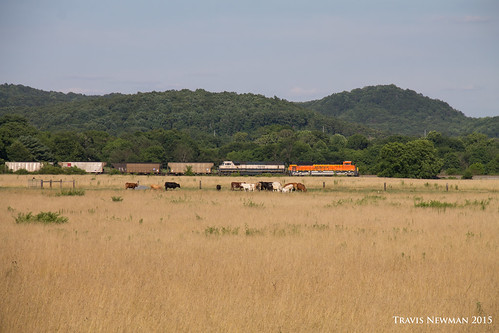
Elevation of 47 Wooten Rd, Cedartown, GA, USA
Location: United States > Georgia > Polk County > Cedartown >
Longitude: -85.209995
Latitude: 33.9613325
Elevation: 290m / 951feet
Barometric Pressure: 98KPa
Related Photos:
Topographic Map of 47 Wooten Rd, Cedartown, GA, USA
Find elevation by address:

Places near 47 Wooten Rd, Cedartown, GA, USA:
209 Tate Rd
Buchanan Hwy, Cedartown, GA, USA
Cedar Hill Senior Living Community
3376 Morgan Valley Rd
North Broad Street
Cedartown
Polk County
726 Piedmont Hwy
Old Cedartown Rd & Sardis Rd
Rockmart Hwy, Rockmart, GA, USA
Fish Creek Road
33 Robin Hood Dr, Cedartown, GA, USA
2022 Piedmont Hwy
858 Lake Creek Rd
83 Valley Edge Dr
527 Old Cedartown Rd
22 Crawford Lake Dr
262 Martin Rd
9 Reeceburg Rd SE, Silver Creek, GA, USA
Chubb Rd, Cave Spring, GA, USA
Recent Searches:
- Elevation of Zimmer Trail, Pennsylvania, USA
- Elevation of 87 Kilmartin Ave, Bristol, CT, USA
- Elevation of Honghe National Nature Reserve, QP95+PJP, Tongjiang, Heilongjiang, Jiamusi, Heilongjiang, China
- Elevation of Hercules Dr, Colorado Springs, CO, USA
- Elevation of Szlak pieszy czarny, Poland
- Elevation of Griffing Blvd, Biscayne Park, FL, USA
- Elevation of Kreuzburger Weg 13, Düsseldorf, Germany
- Elevation of Gateway Blvd SE, Canton, OH, USA
- Elevation of East W.T. Harris Boulevard, E W.T. Harris Blvd, Charlotte, NC, USA
- Elevation of West Sugar Creek, Charlotte, NC, USA
