Elevation of 26 NL-, English Harbour West, NL A0H 1M0, Canada
Location: Canada > Newfoundland And Labrador > Division No. 3 > Saint Jacques-coomb's Cove >
Longitude: -55.622954
Latitude: 47.4581537
Elevation: 7m / 23feet
Barometric Pressure: 101KPa
Elevation Map:
Satellite Map:
Related Photos:
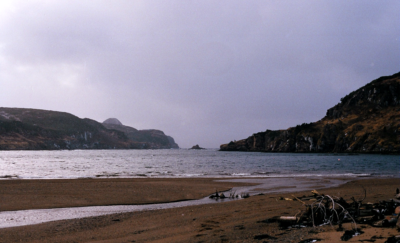
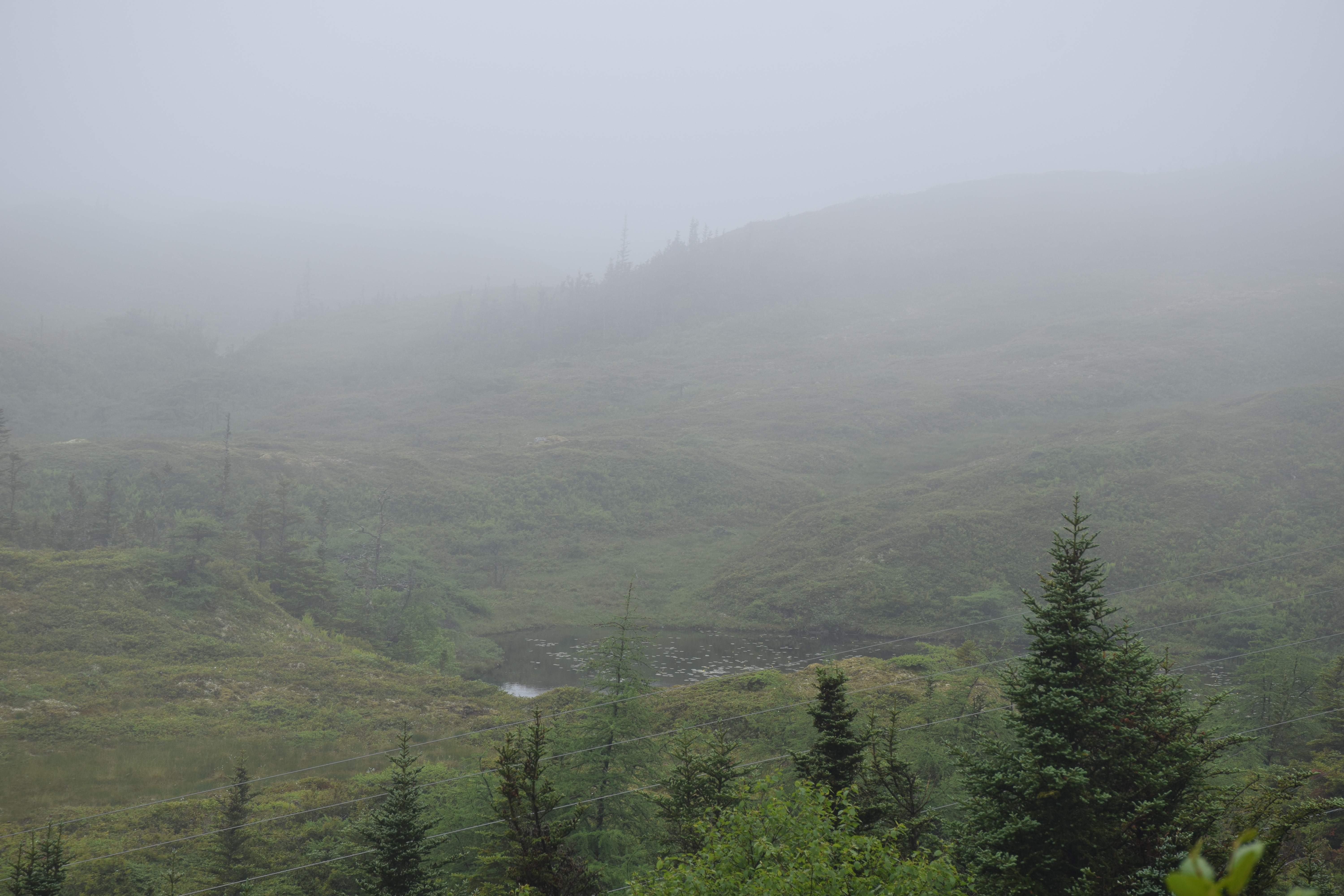
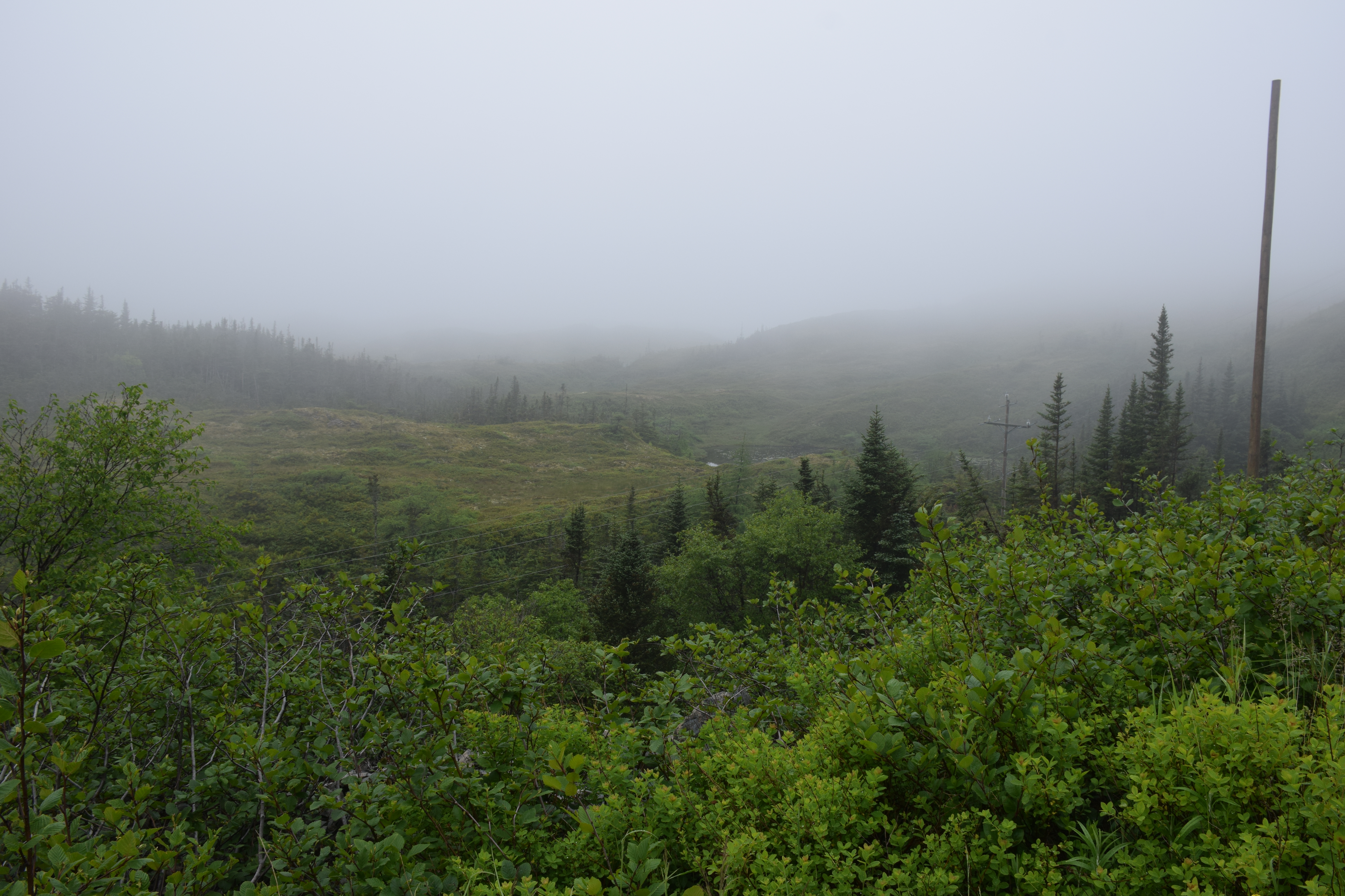
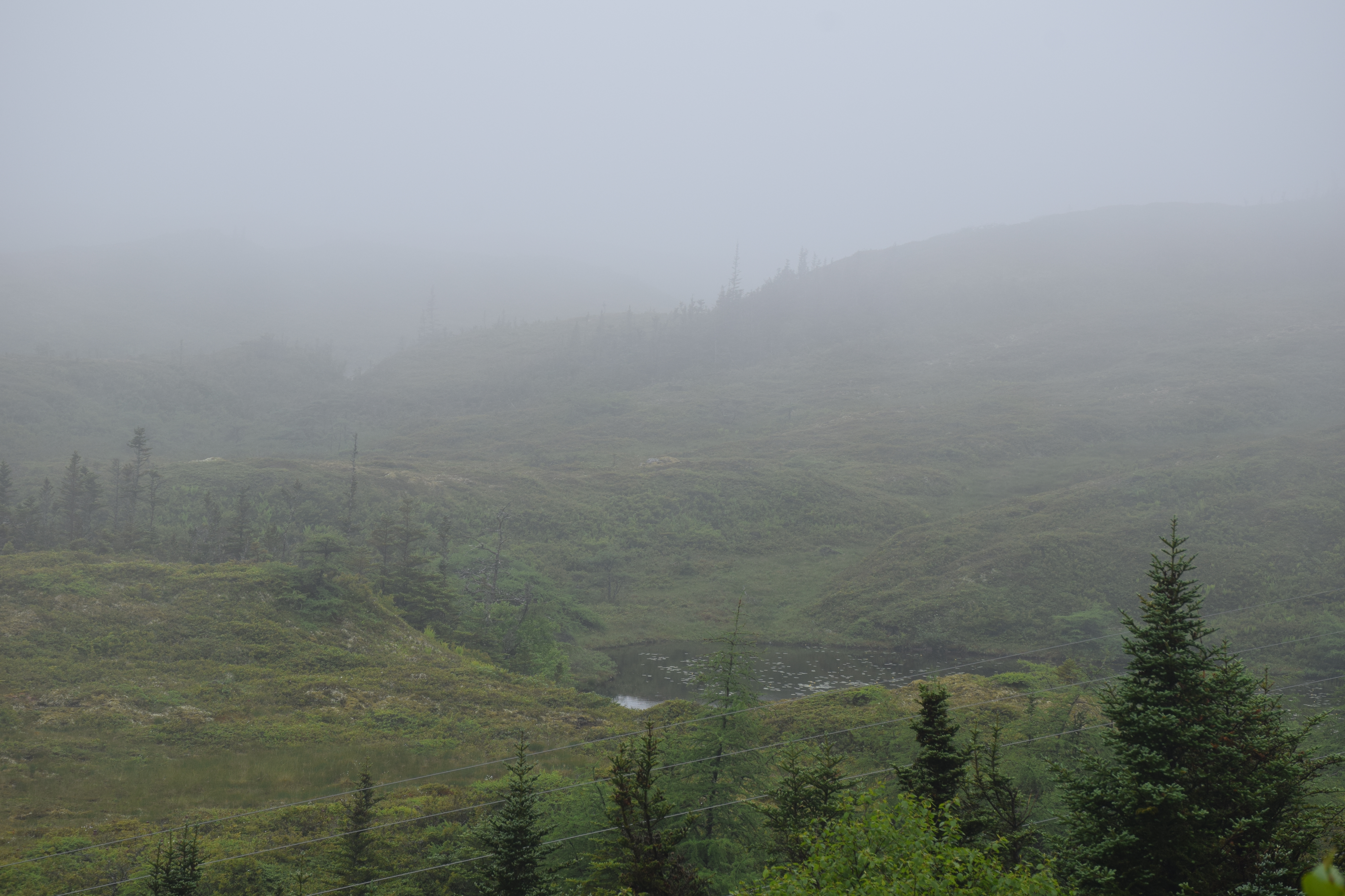
Between the hills, to the sea.
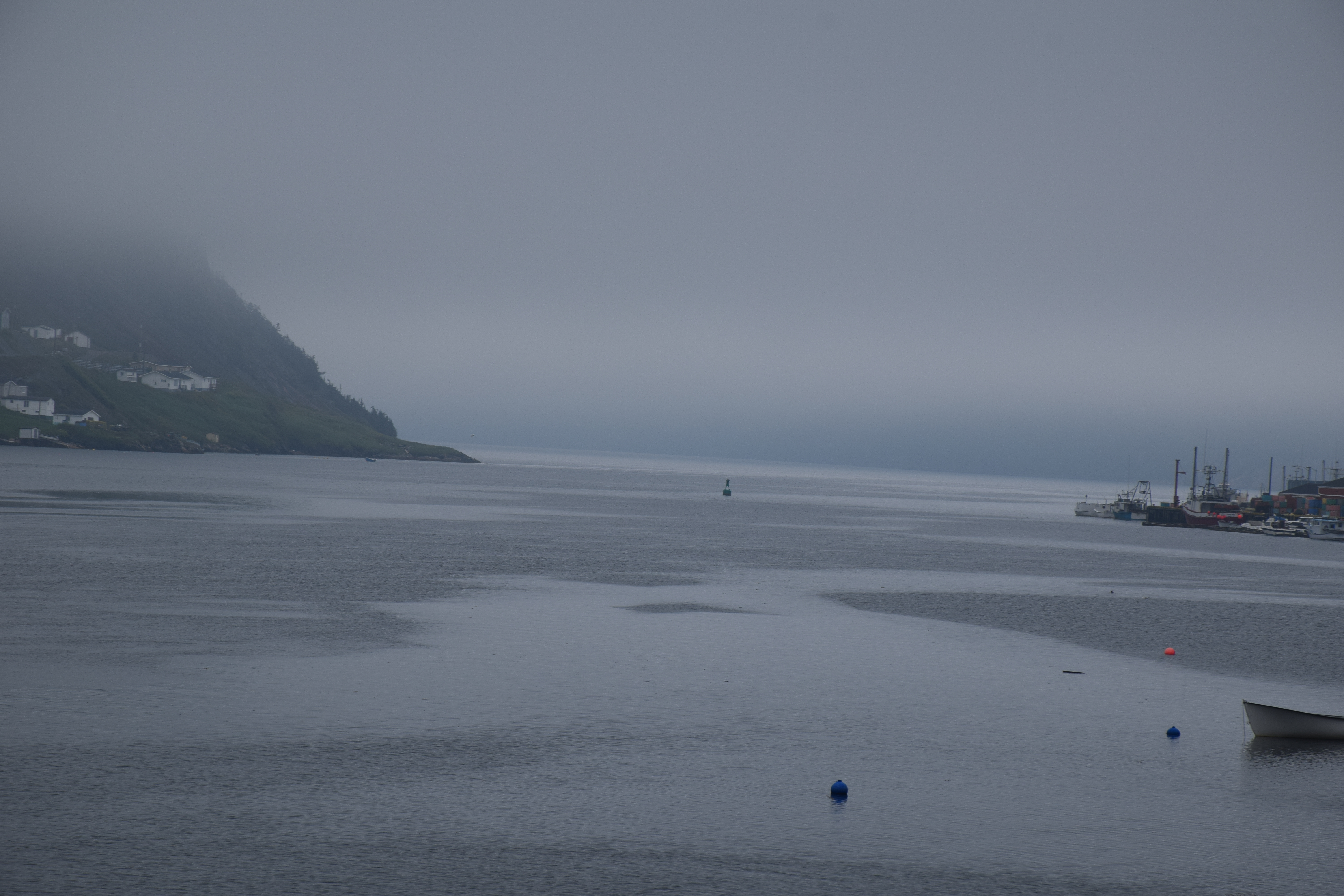
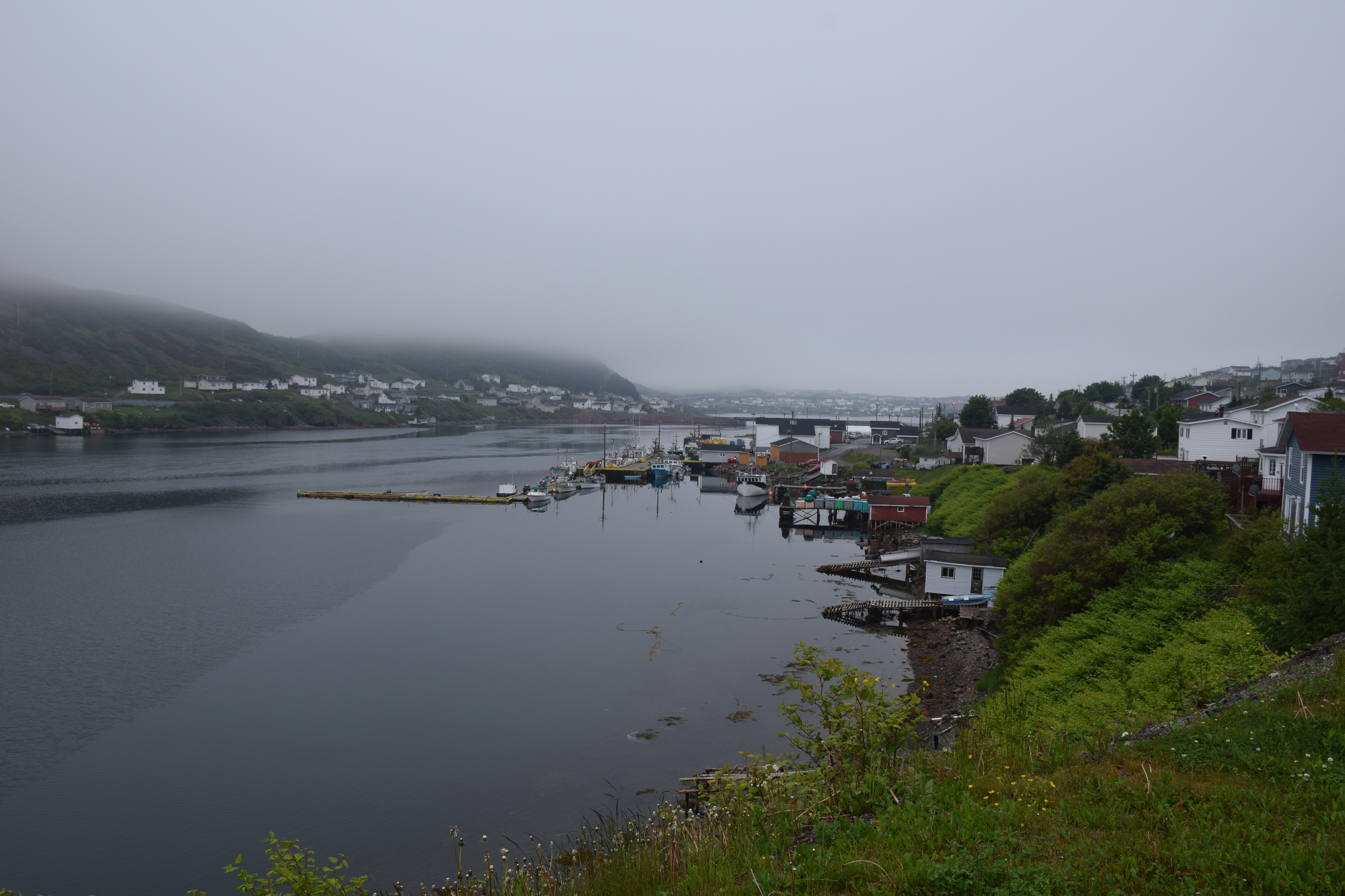
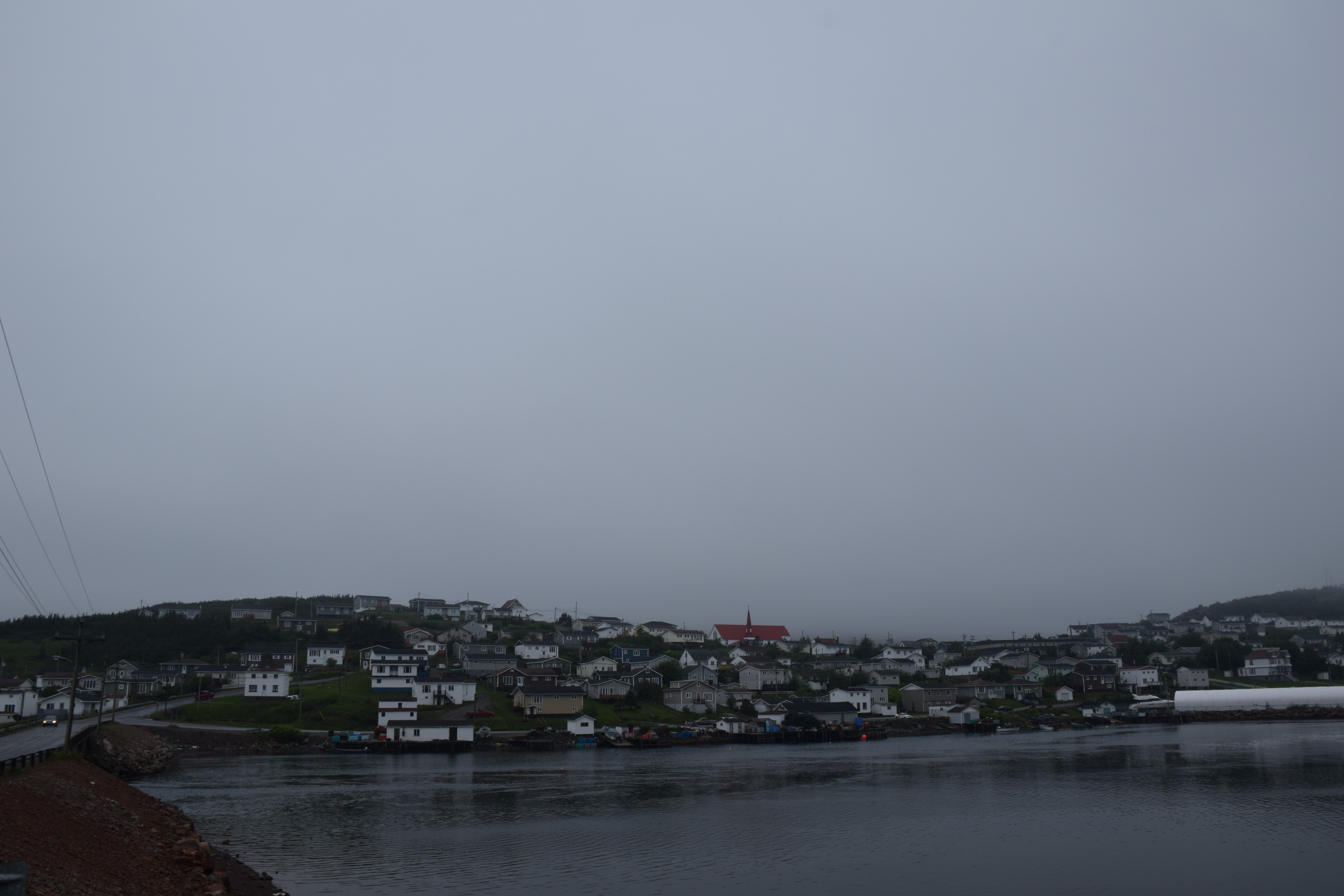
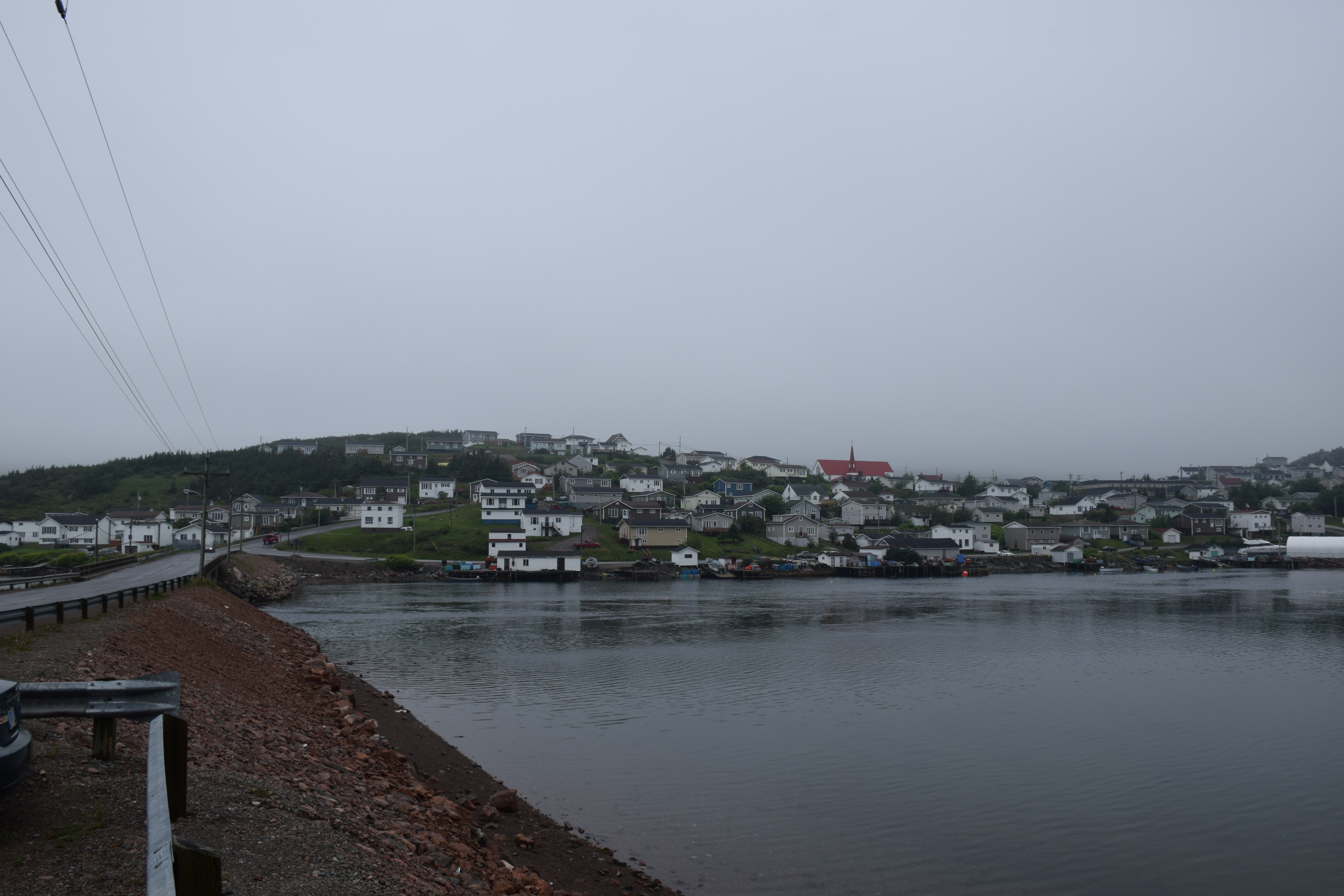
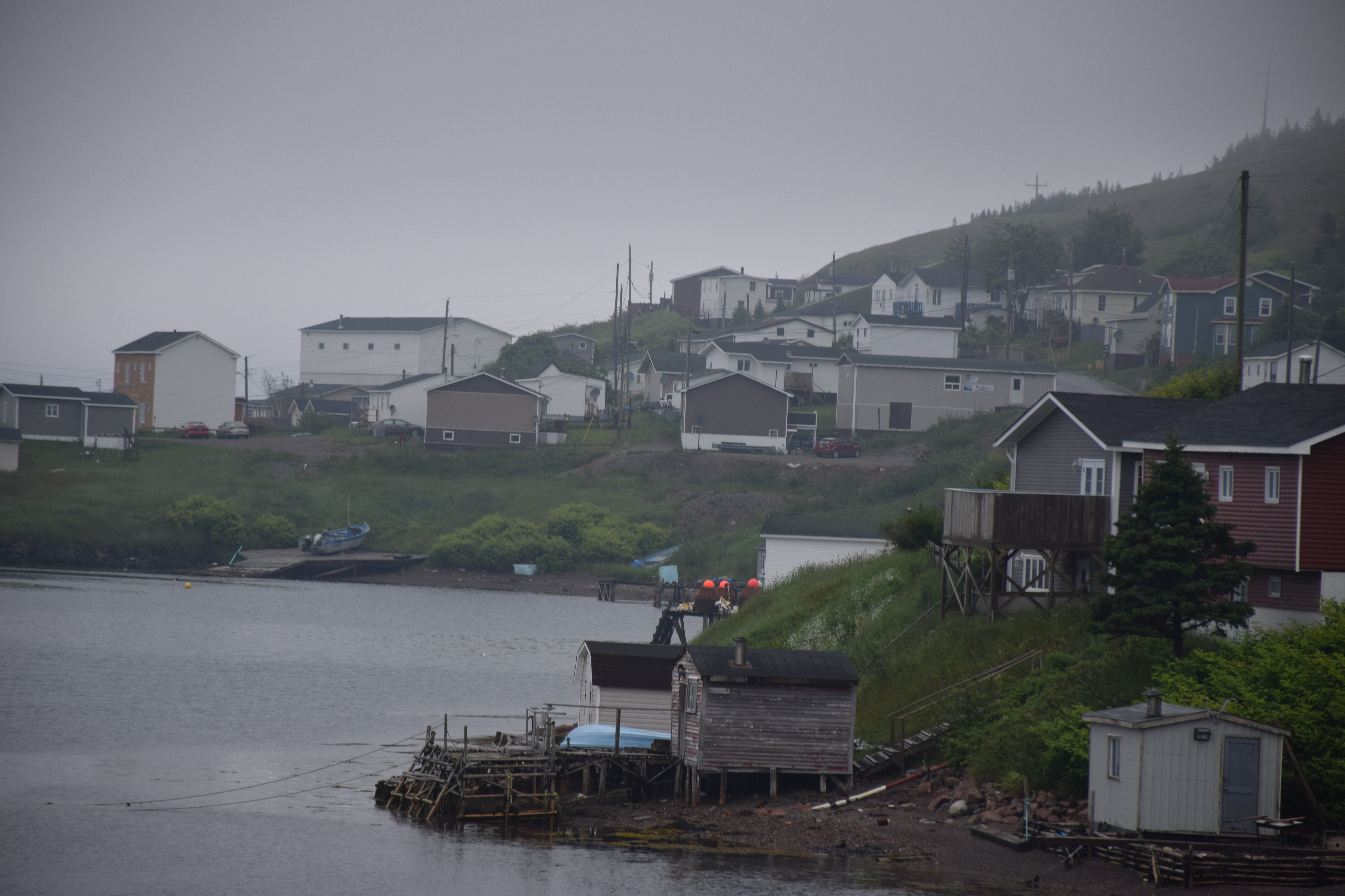
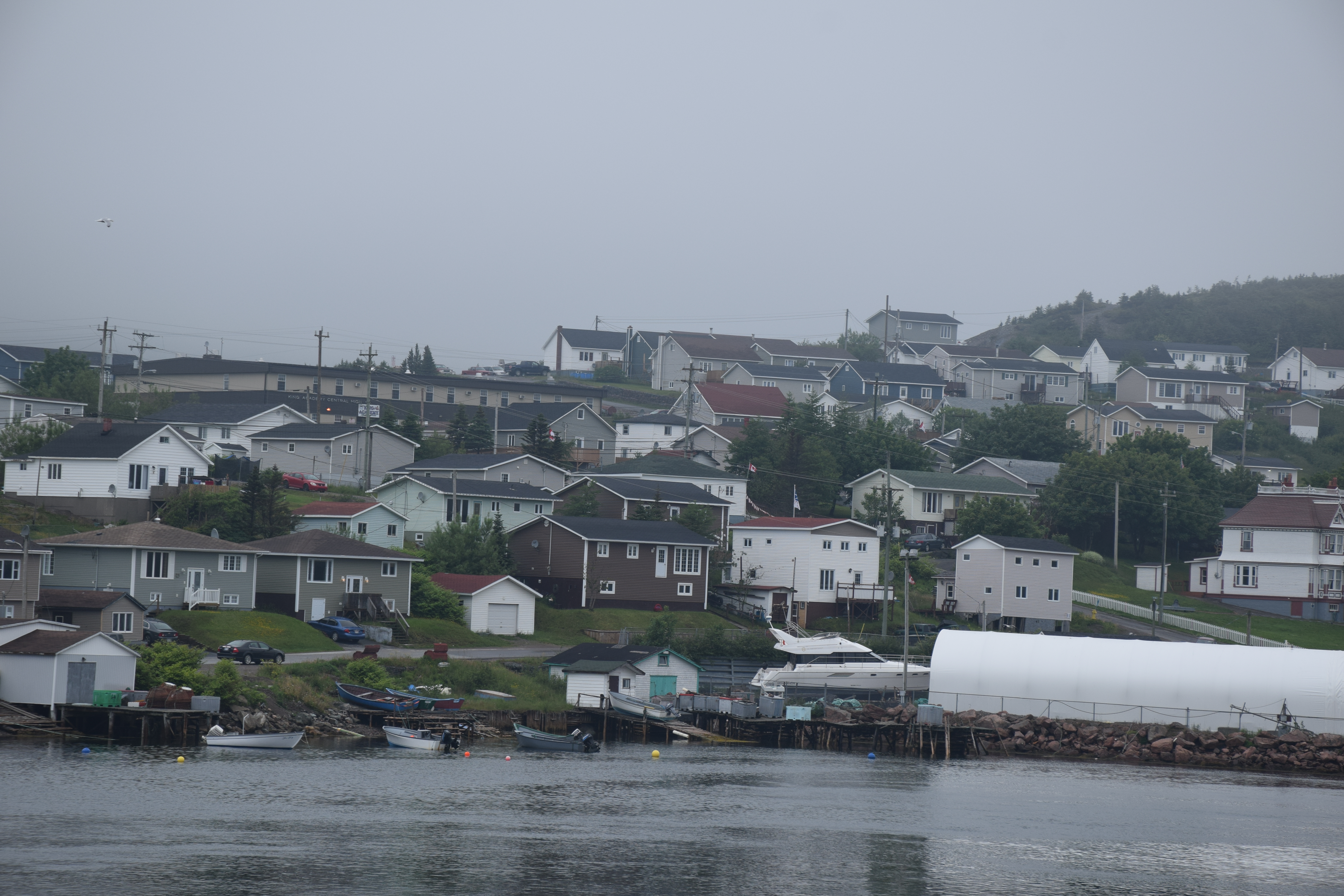
Harbour Breton Newfoundland
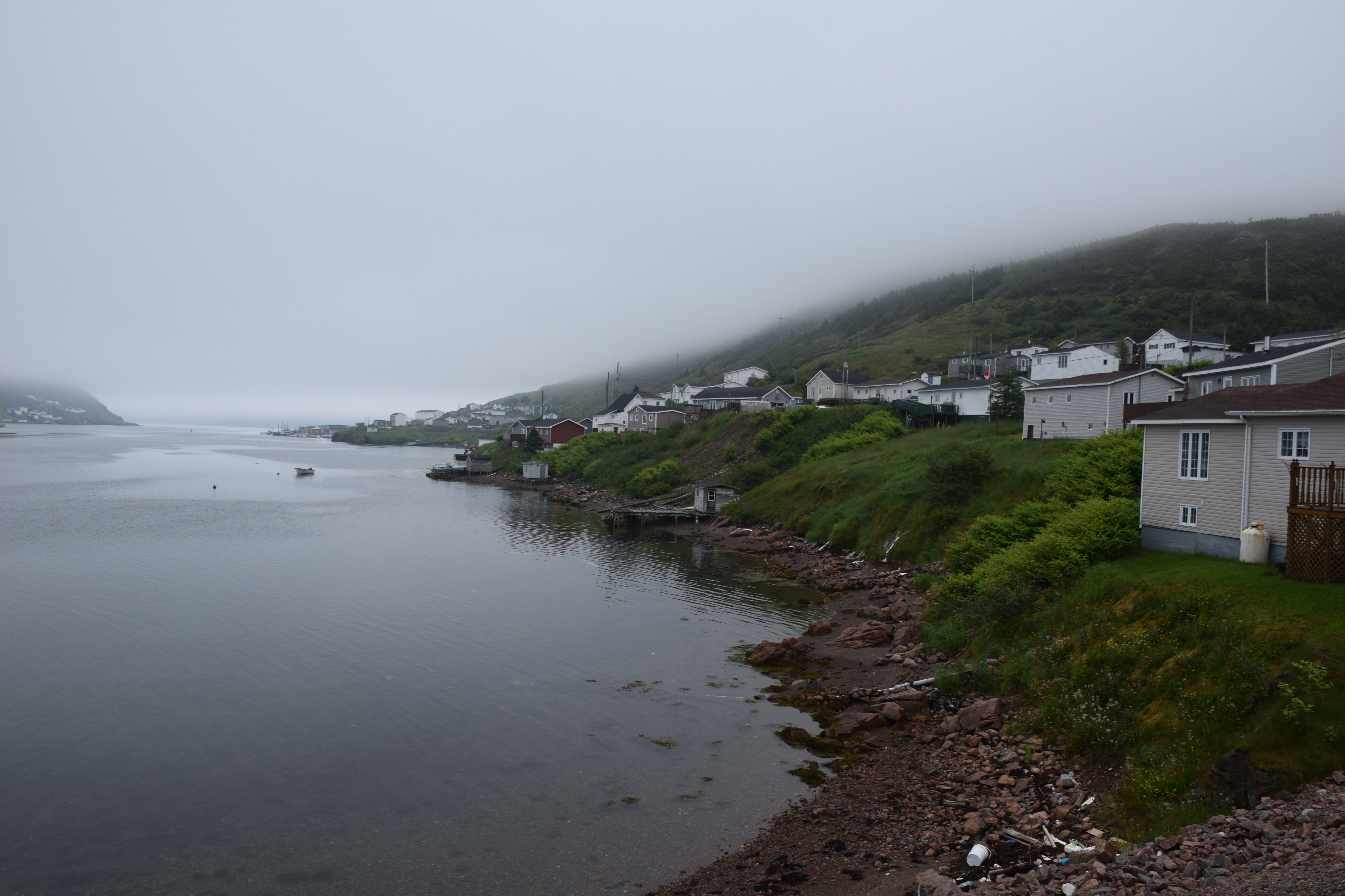
Harbour Breton Newfoundland

Harbour Breton Newfoundland
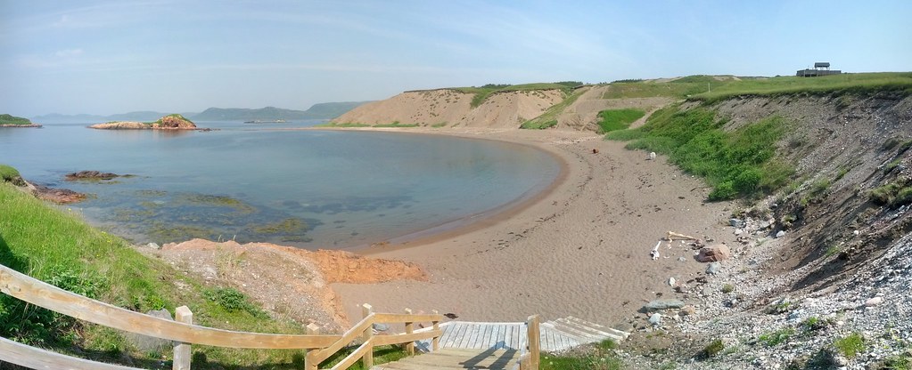
Chappie Cove Photosphere I
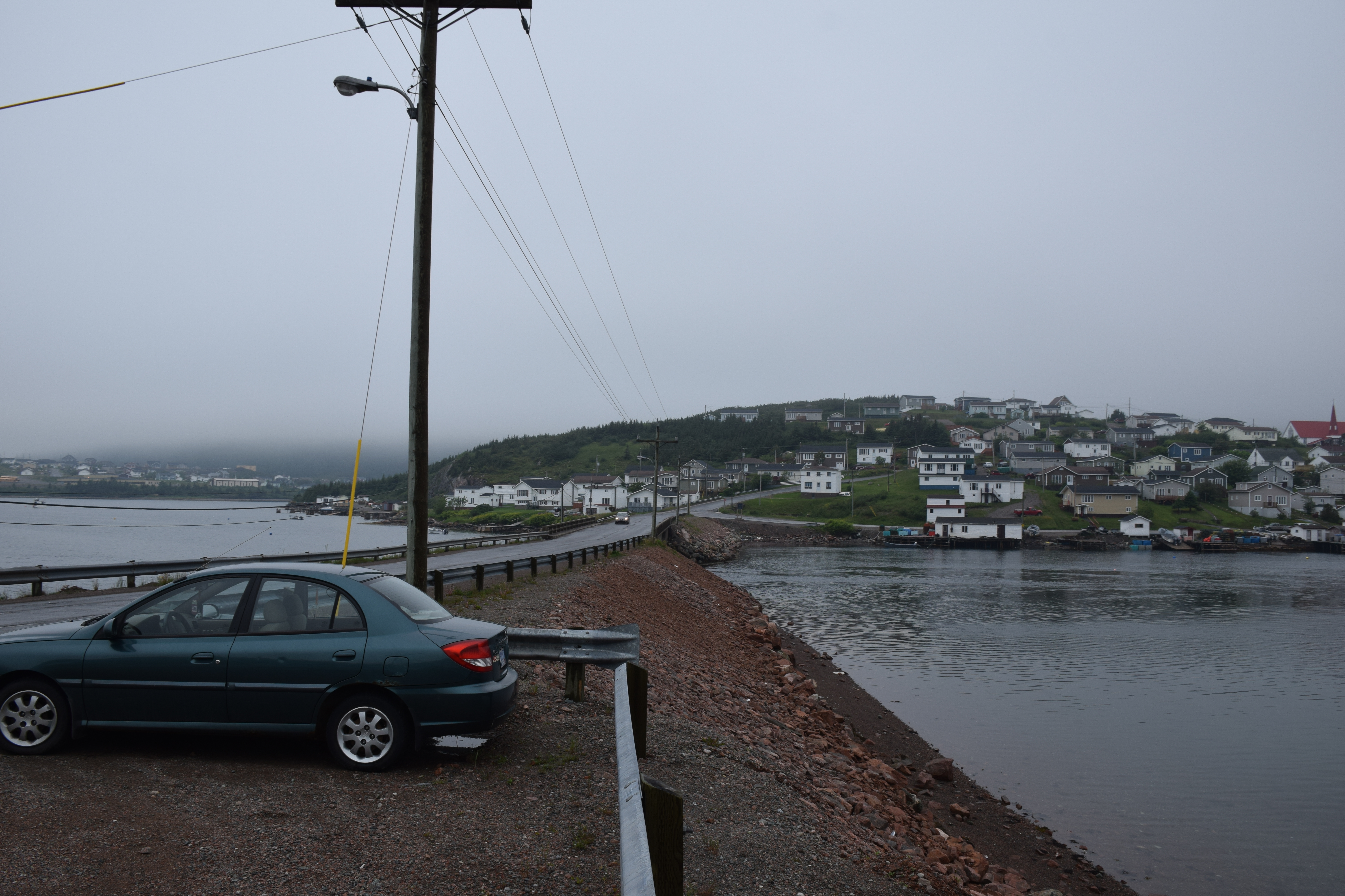
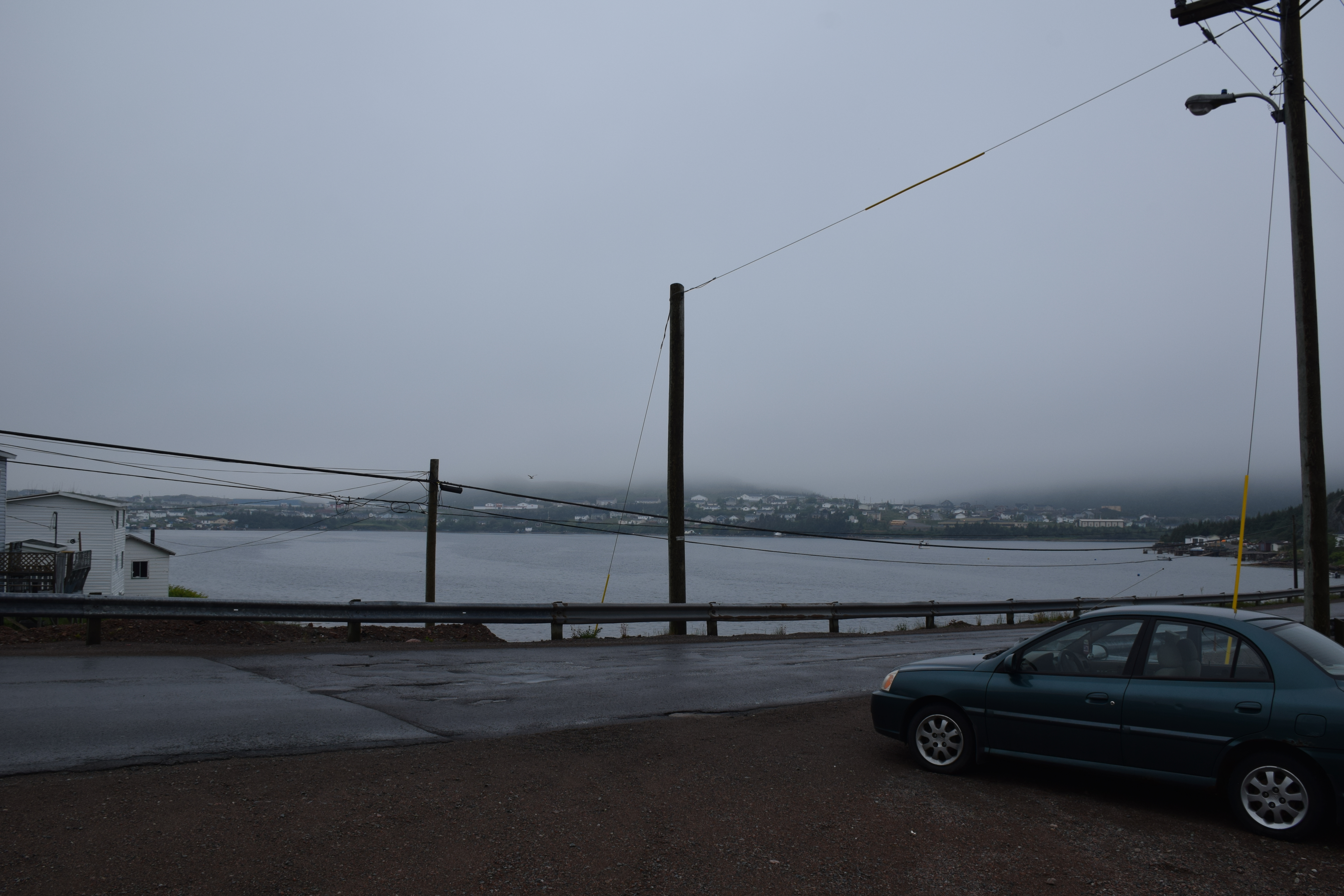
Newfoundland Highway 360
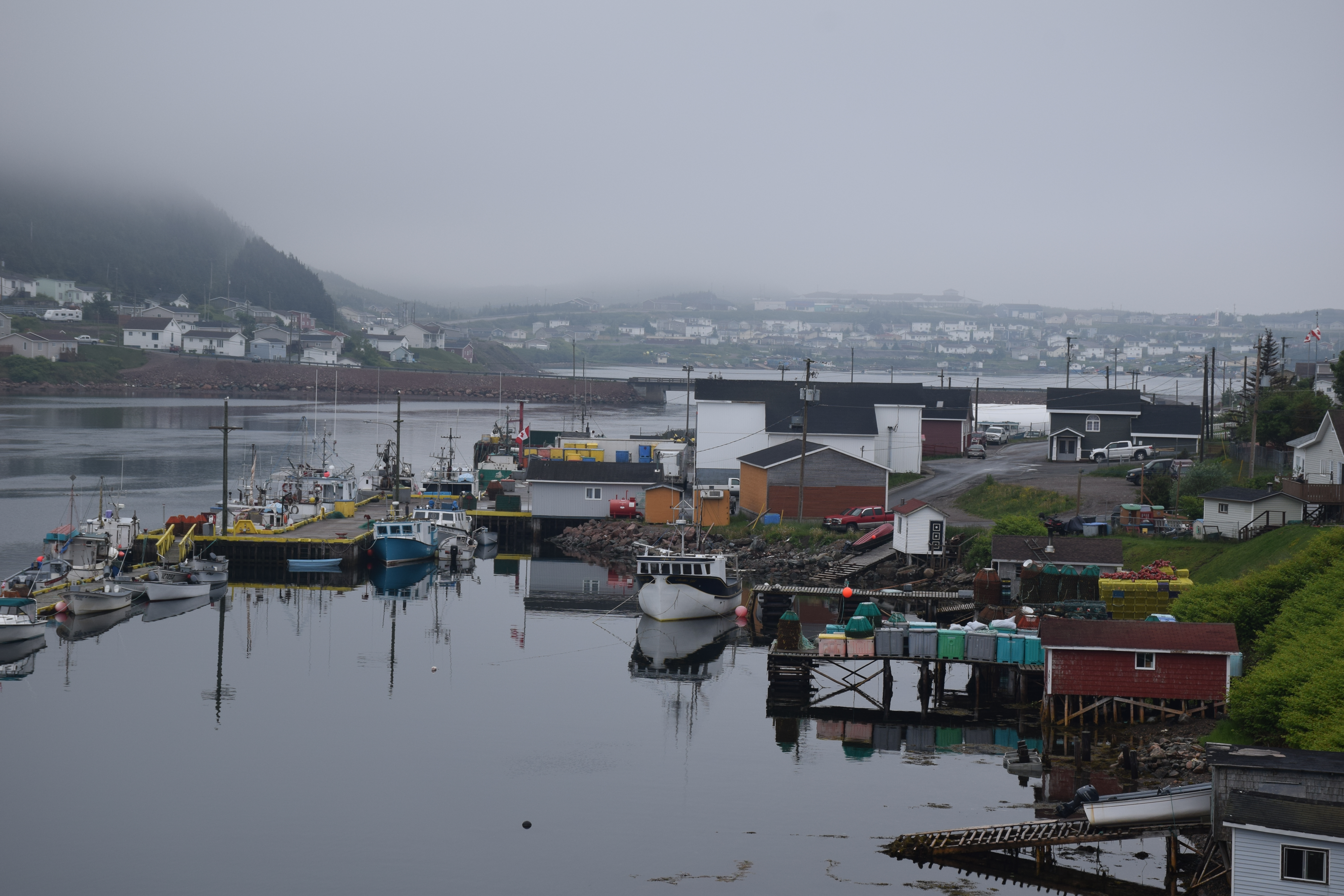
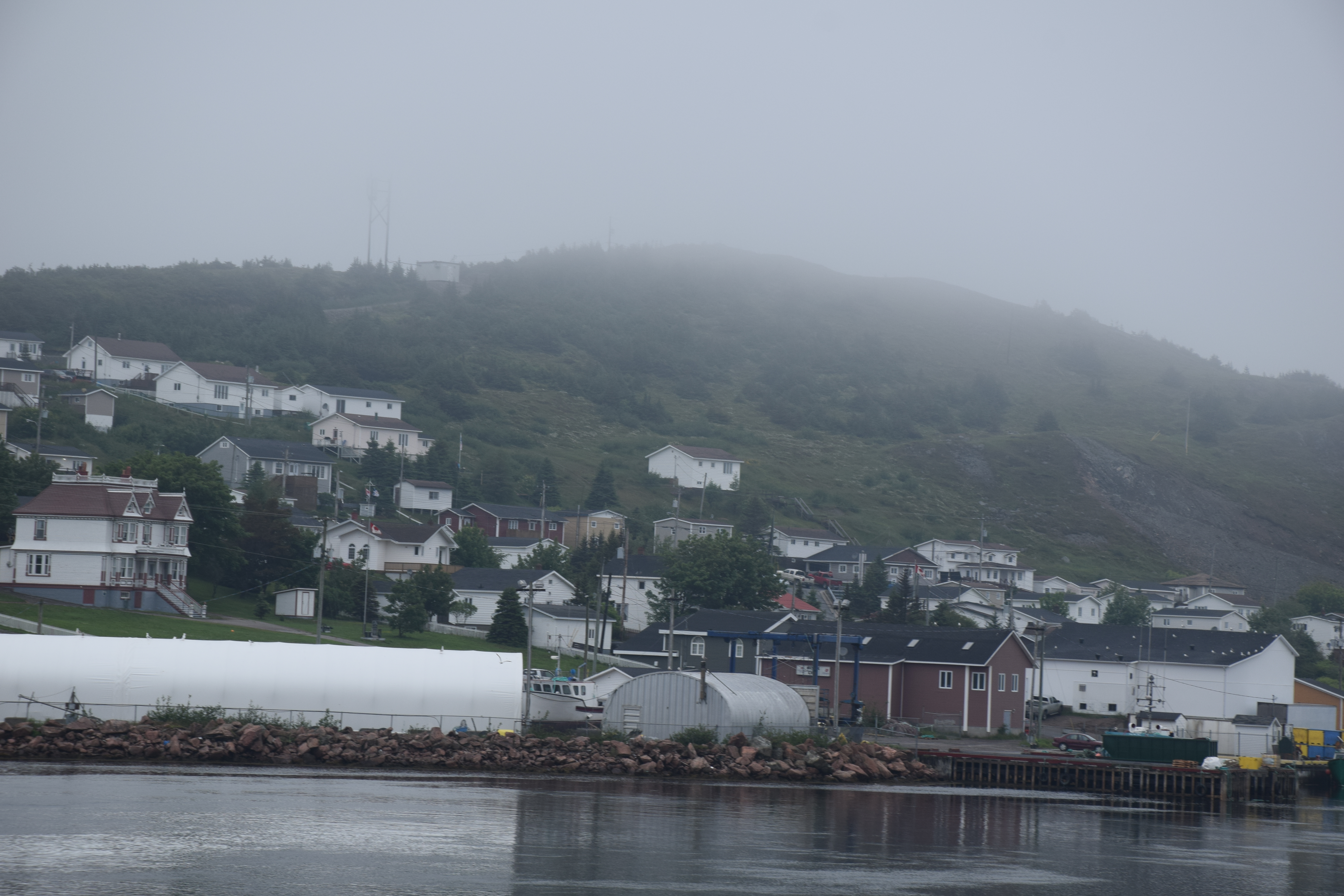
Harbour Breton Newfoundland
Harbour Breton Newfoundland
Harbour Breton Newfoundland
Newfoundland Highway 360
Newfoundland Highway 360

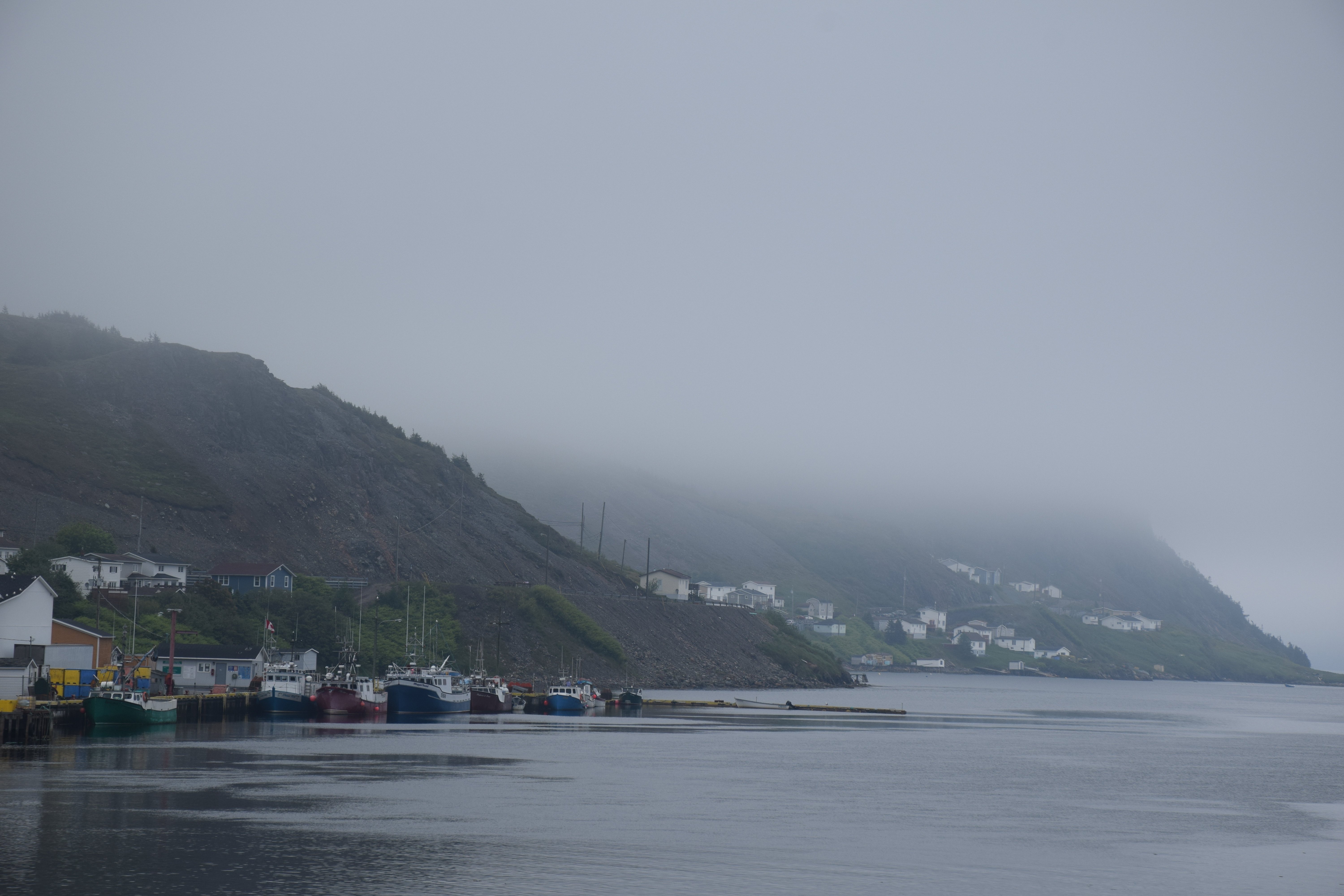
Harbour Breton Newfoundland
Harbour Breton Newfoundland
Harbour Breton Newfoundland

Harbour Breton Newfoundland
Harbour Breton Newfoundland
Harbour Breton Newfoundland
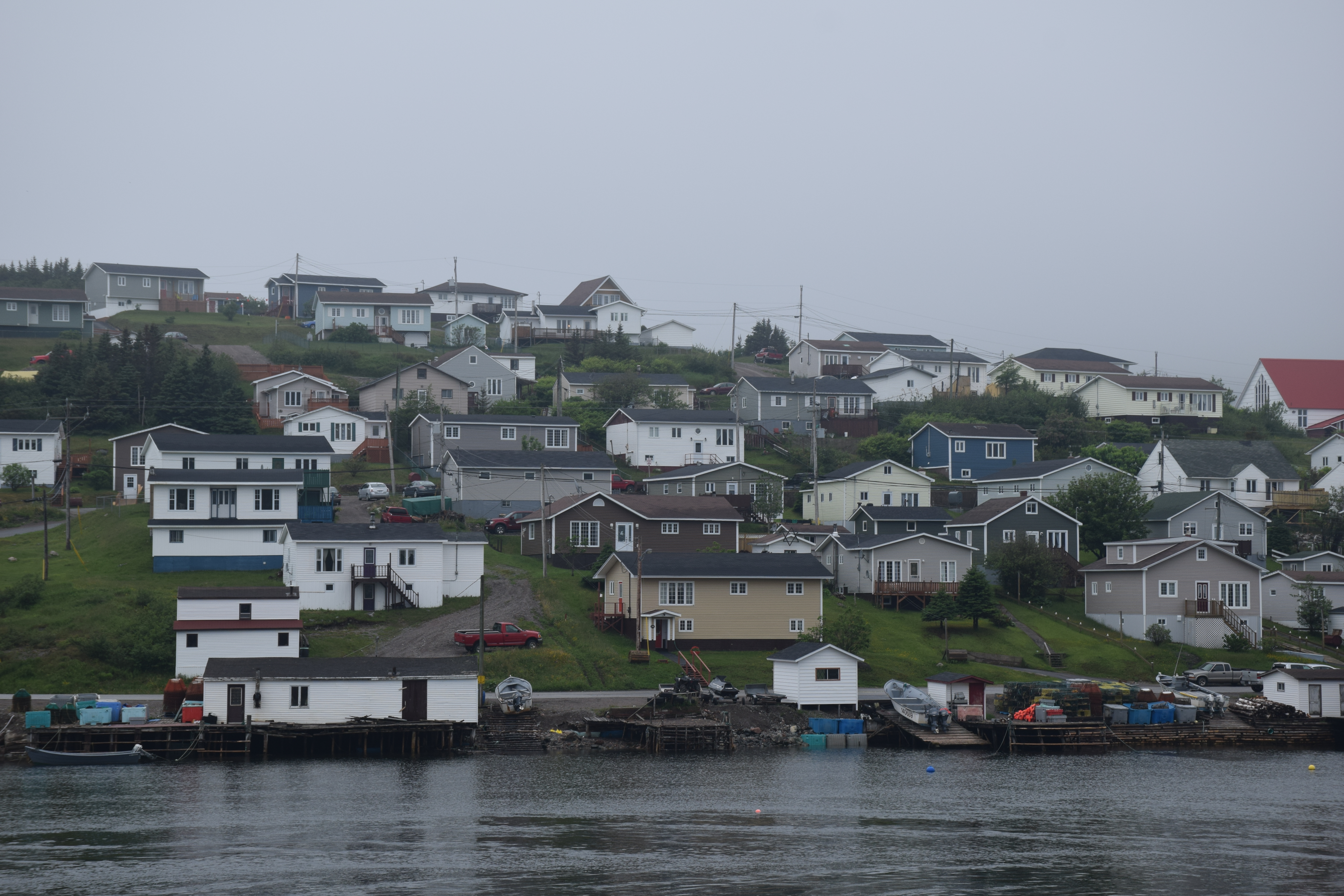
Harbour Breton Newfoundland
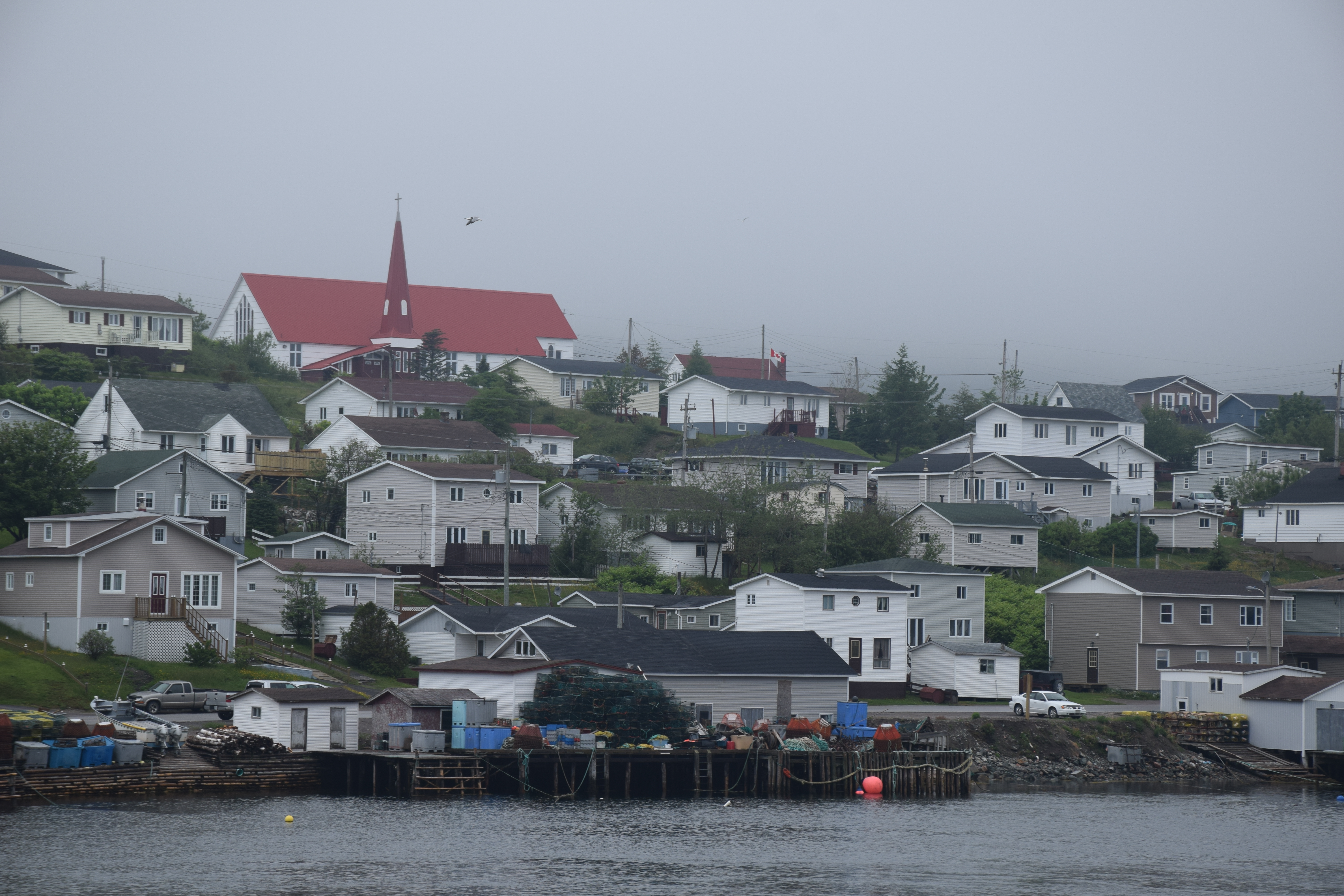
Harbour Breton Newfoundland
Harbour Breton Newfoundland
Harbour Breton Newfoundland
Harbour Breton Newfoundland
Topographic Map of 26 NL-, English Harbour West, NL A0H 1M0, Canada
Find elevation by address:

Places near 26 NL-, English Harbour West, NL A0H 1M0, Canada:
Saint Jacques-coomb's Cove
20 Southside Dr, Harbour Breton, NL A0H 1P0, Canada
N Side Extension, English Harbour West, NL A0H 1M0, Canada
Harbour Breton
15 NL-, Belleoram, NL A0H 1B0, Canada
Harbour Dr, Belleoram, NL A0H 1B0, Canada
Pool's Cove
Frenchman's Cove
68 Hwy, Frenchman's Cove, NL A0E 1R0, Canada
Golf Course Road
Hwy, Garnish, NL A0E 1T0, Canada
Sunset Drive
Division No. 2, Subd. H
Sharon's Nook
Grand Bank
Beach Avenue
5 Main St
10 Christians Rd
5 Christians Rd
West Street Extension
Recent Searches:
- Elevation of Corso Fratelli Cairoli, 35, Macerata MC, Italy
- Elevation of Tallevast Rd, Sarasota, FL, USA
- Elevation of 4th St E, Sonoma, CA, USA
- Elevation of Black Hollow Rd, Pennsdale, PA, USA
- Elevation of Oakland Ave, Williamsport, PA, USA
- Elevation of Pedrógão Grande, Portugal
- Elevation of Klee Dr, Martinsburg, WV, USA
- Elevation of Via Roma, Pieranica CR, Italy
- Elevation of Tavkvetili Mountain, Georgia
- Elevation of Hartfords Bluff Cir, Mt Pleasant, SC, USA