Elevation of Sunset Drive, Sunset Dr, Newfoundland and Labrador A0E, Canada
Location: Canada > Newfoundland And Labrador > Division No. 2 >
Longitude: -55.349481
Latitude: 47.216584
Elevation: 43m / 141feet
Barometric Pressure: 101KPa
Elevation Map:
Satellite Map:
Related Photos:

View from my lunch room - unedited Samsung Galaxy S5

Sunset FC-16-2
Sunset FC-16-1
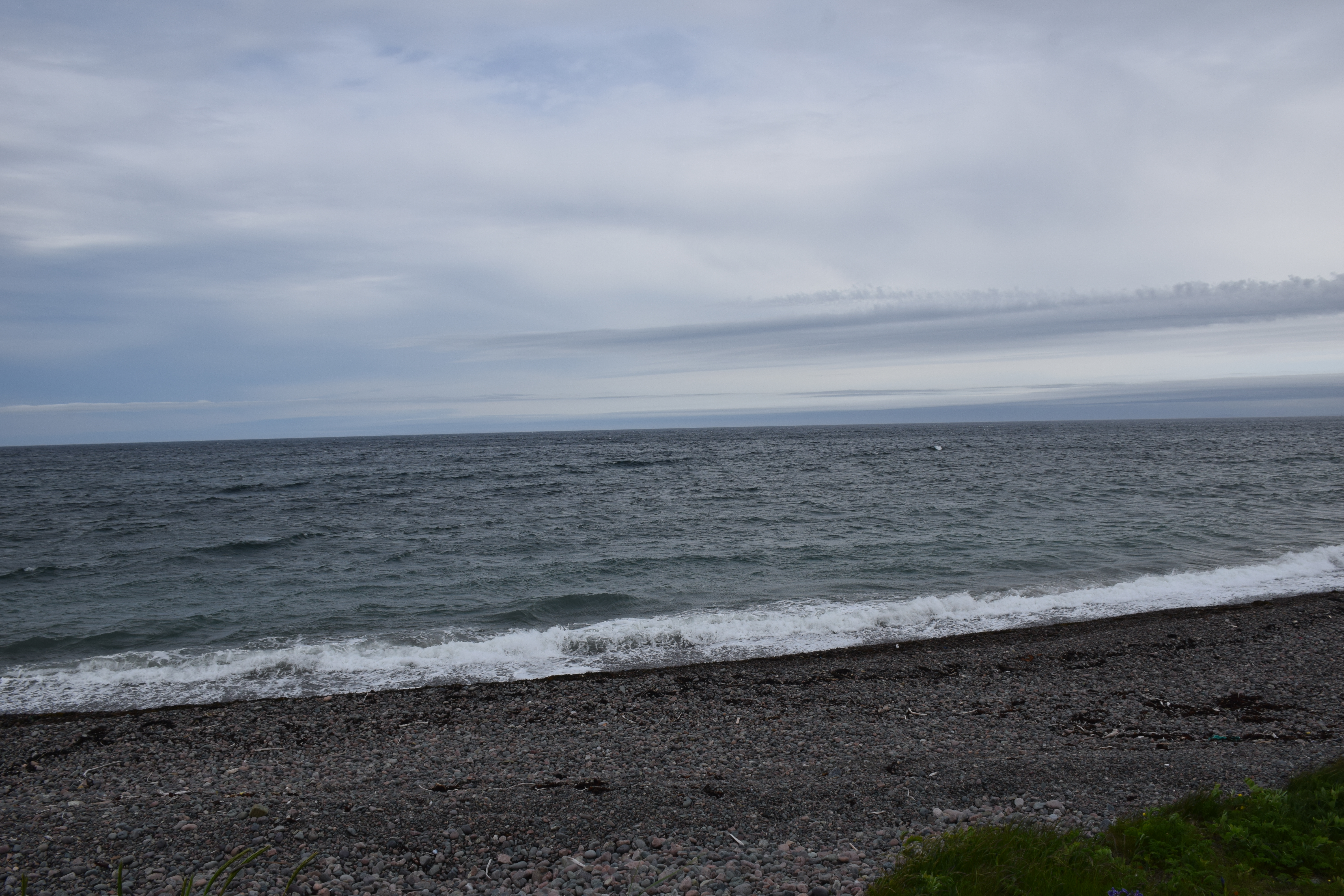
Frenchmans Cove Newfoundland
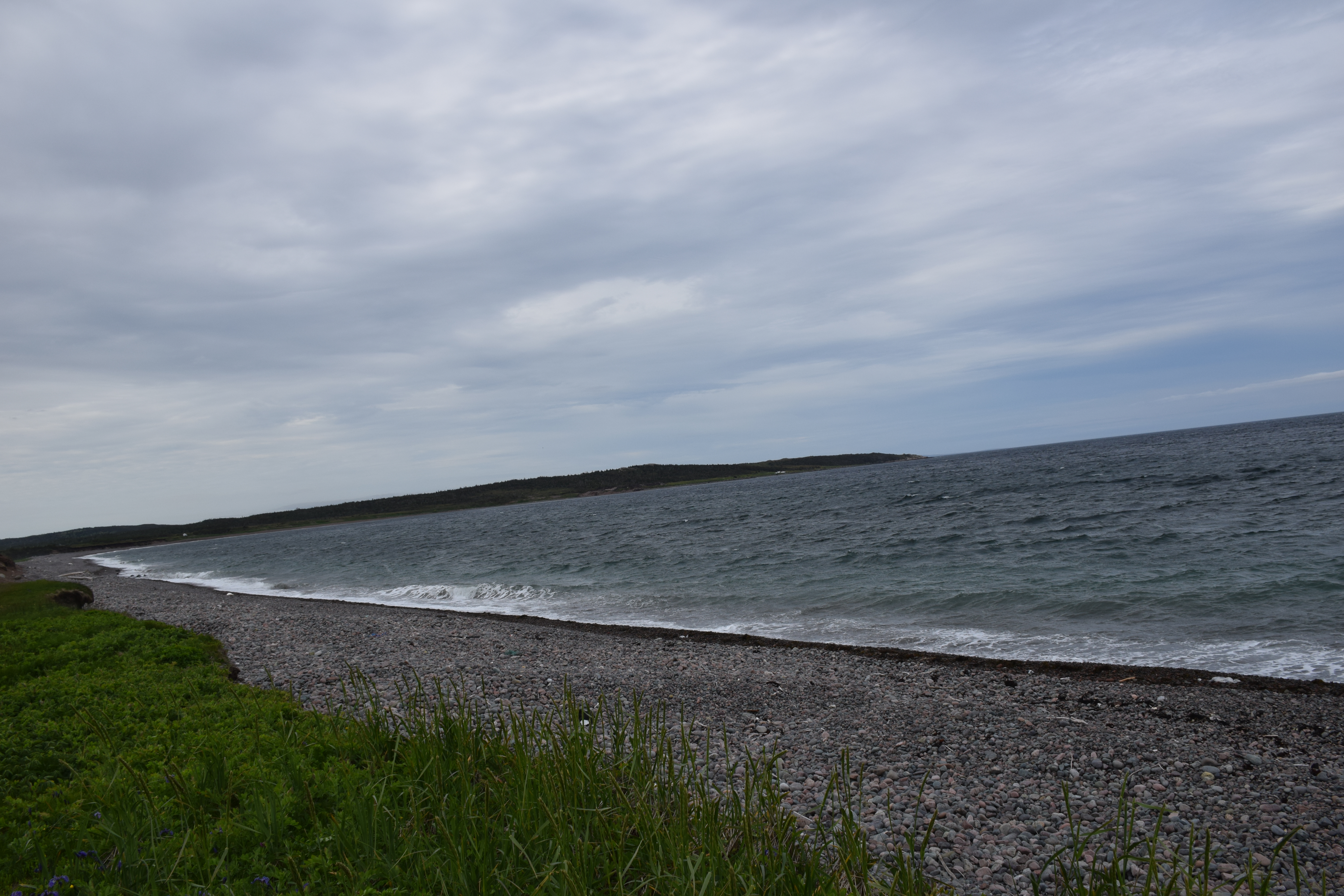
Frenchmans Cove Newfoundland
Sunrise at Marystown,NL.
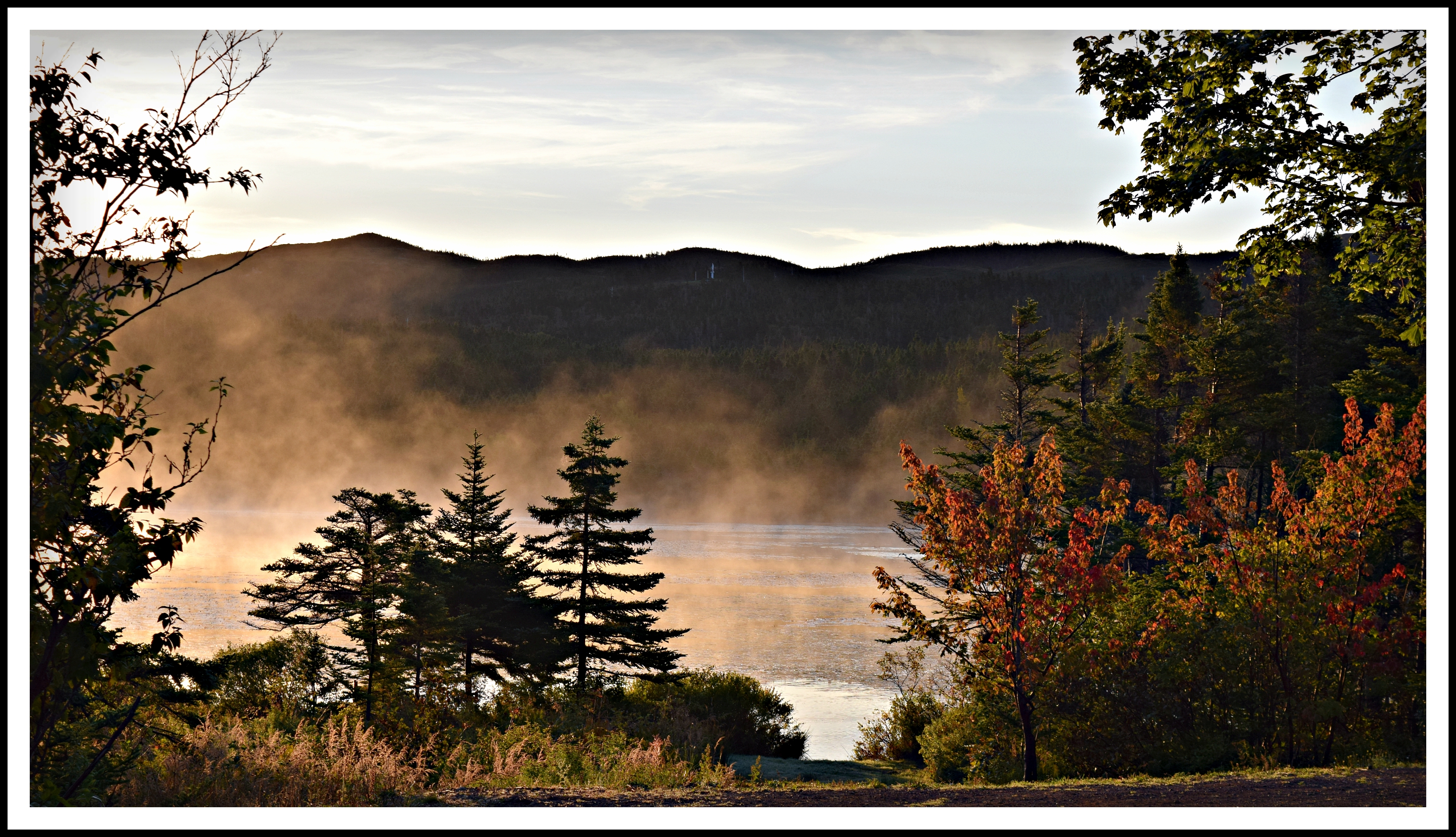
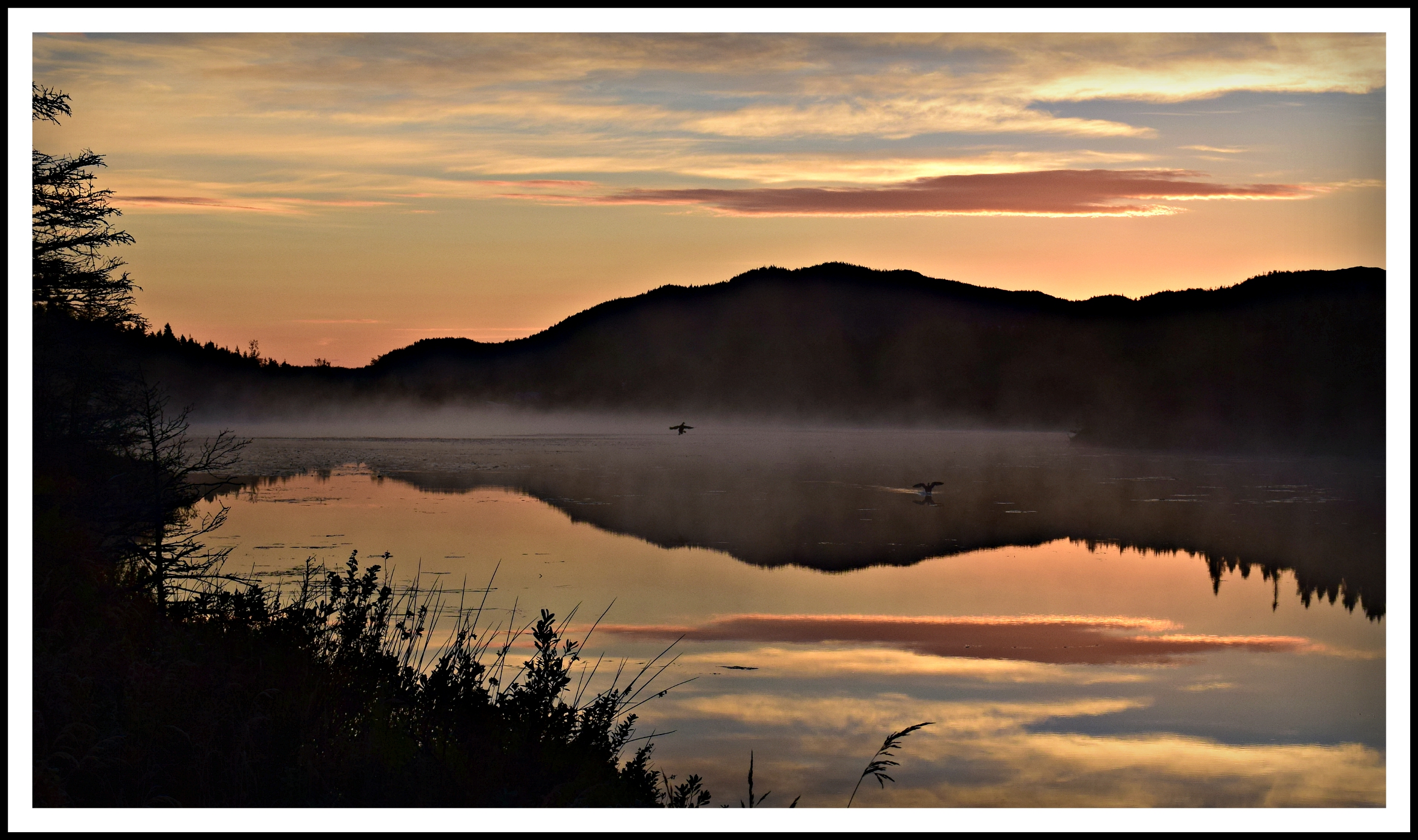
Early morning mist
Kingfisher at left and a beaver at right.

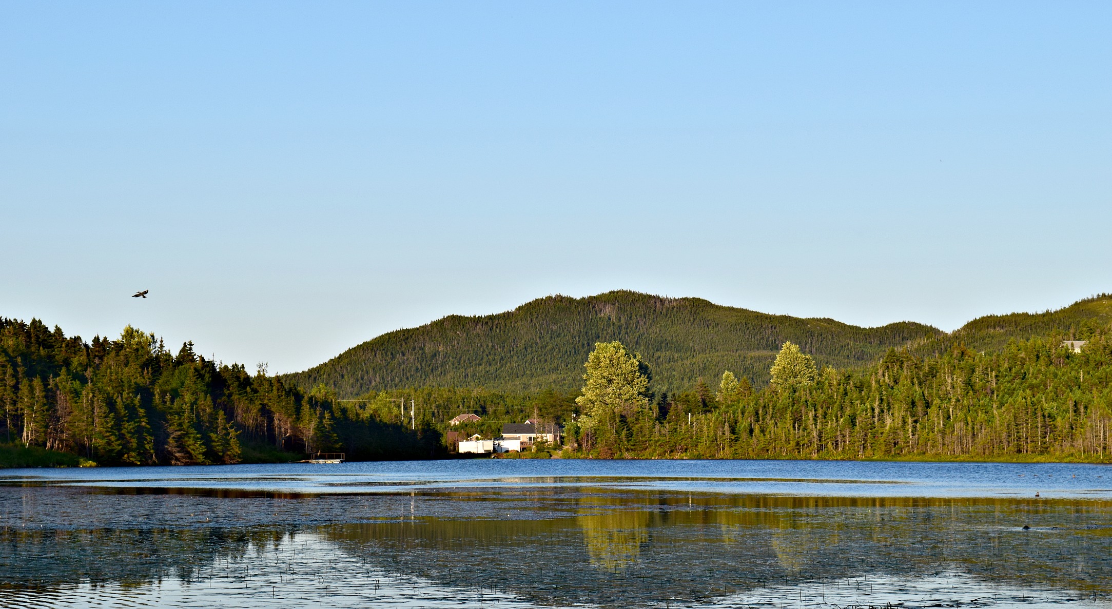
Coming Home
Frenchmans Cove Newfoundland
Pénisule de Burin - Frenchman's cove (5)
Sunset FC-16-3
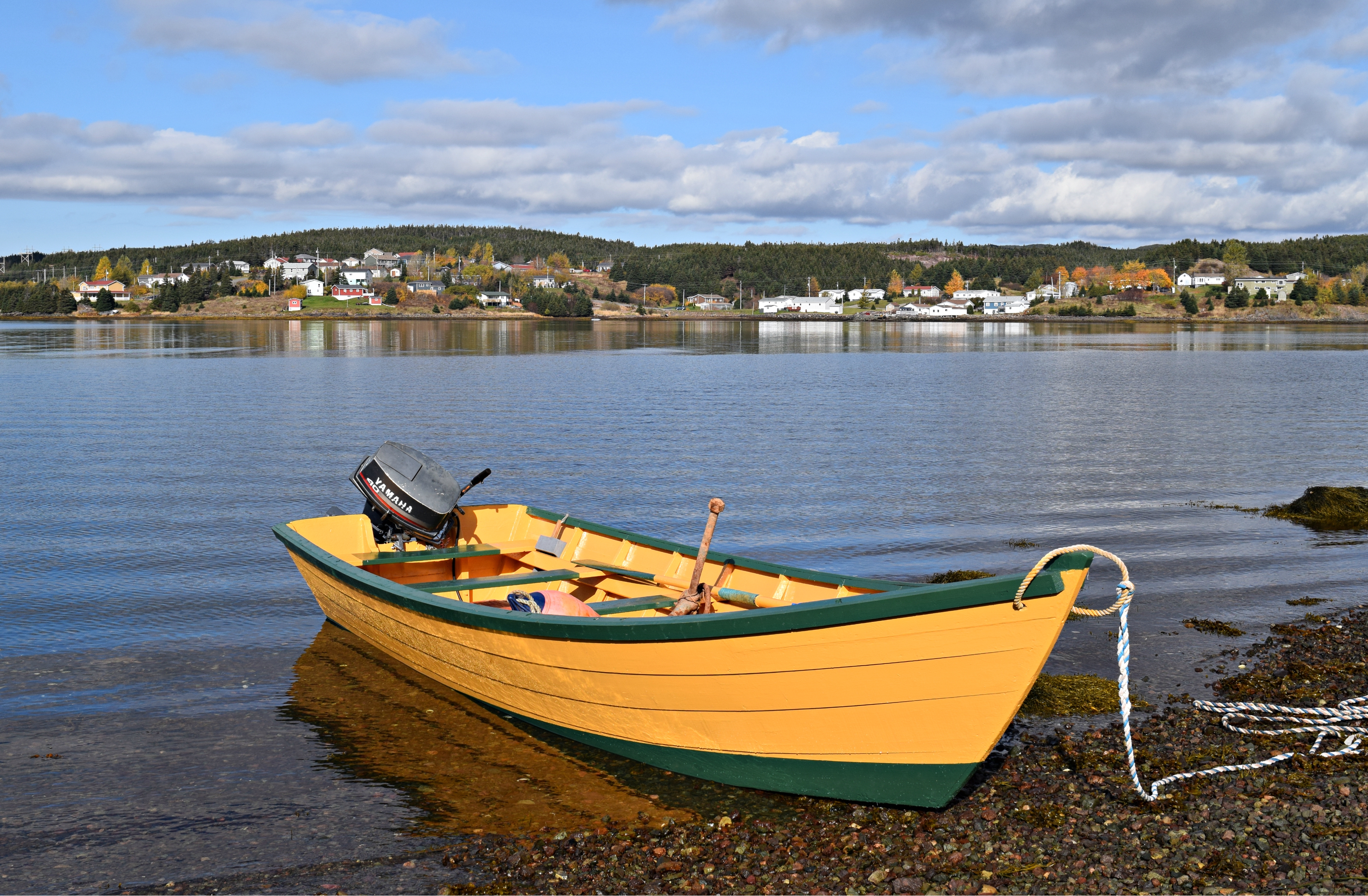
Boat in the water again after 21 years.
20150609-9663520043819-0001.jpg
IMG00257-20090917-1441

IMG00248-20090917-1422
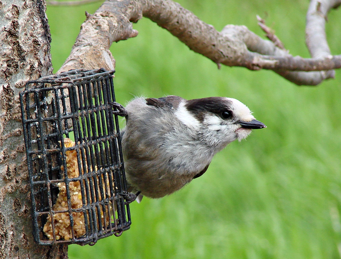
Gray Jay
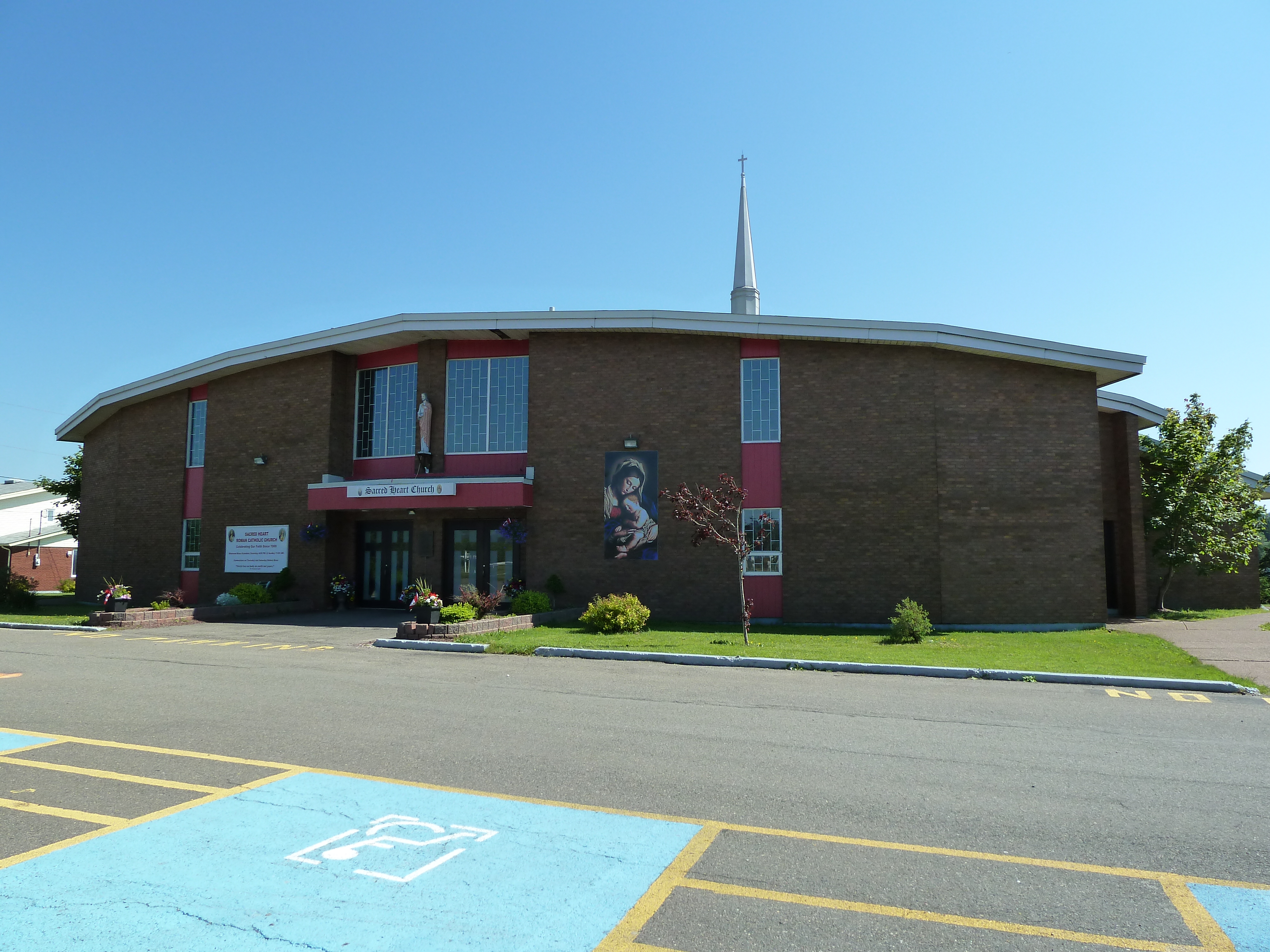
Marystown, église Sacred Heart
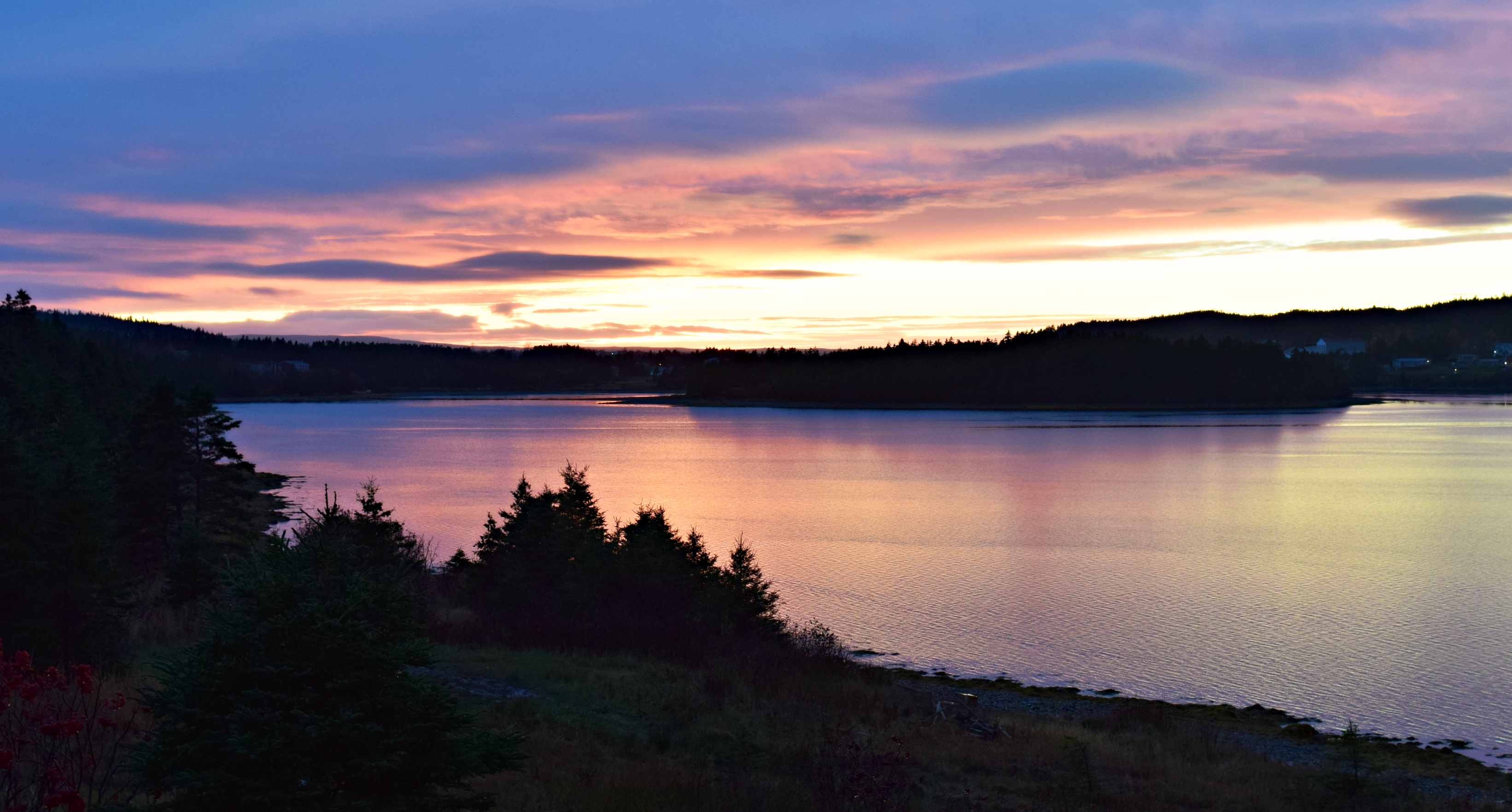
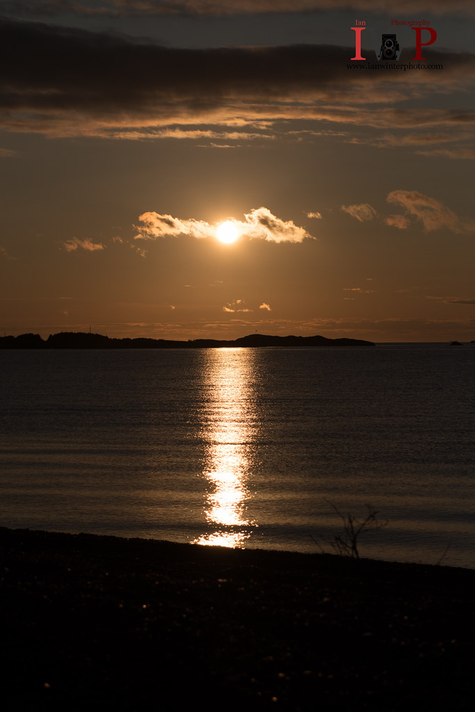
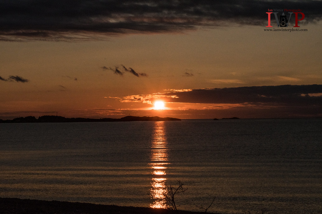
Sunset over Birchy Island in Marystown,NL.
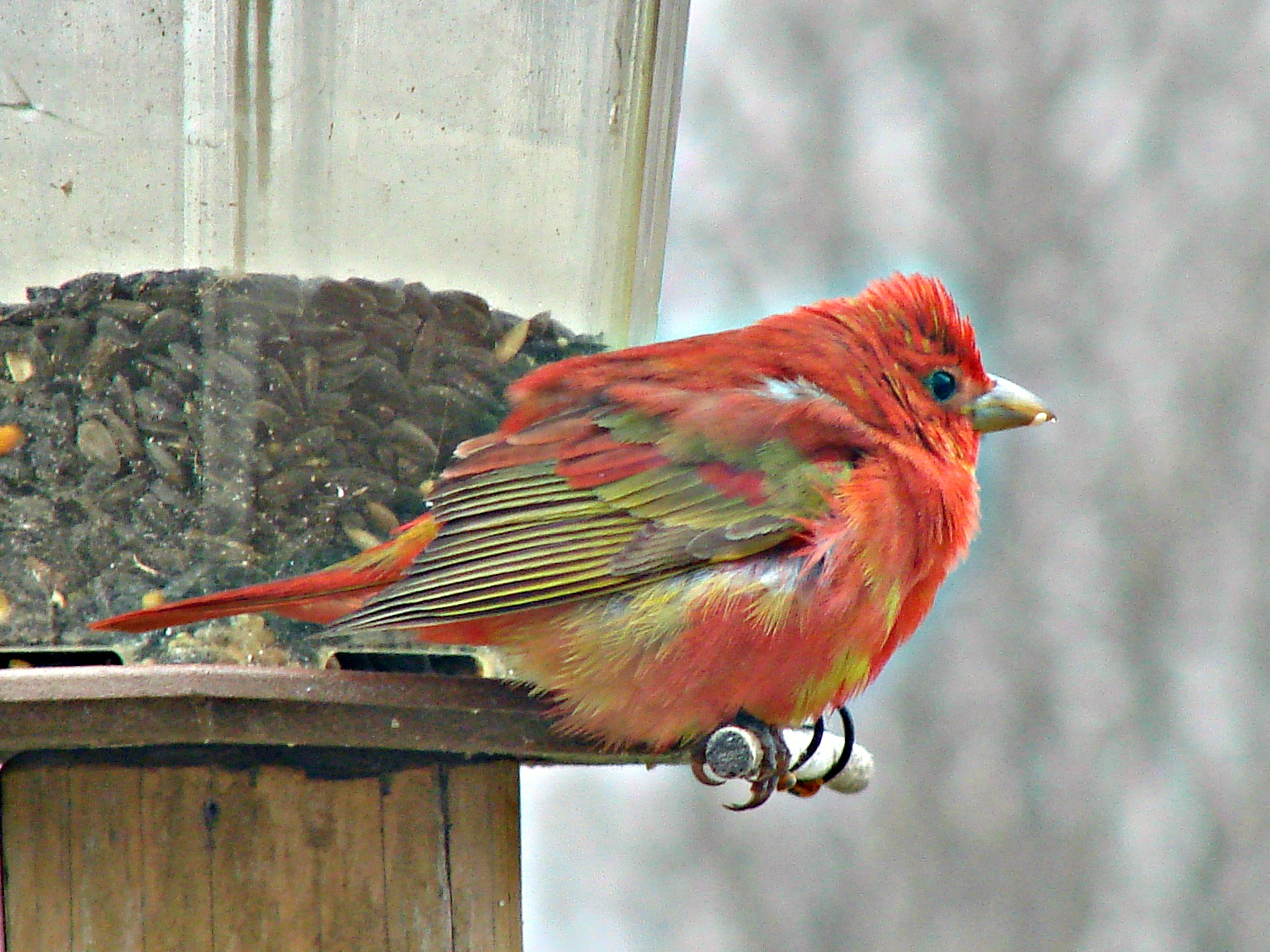
Summer Tanager
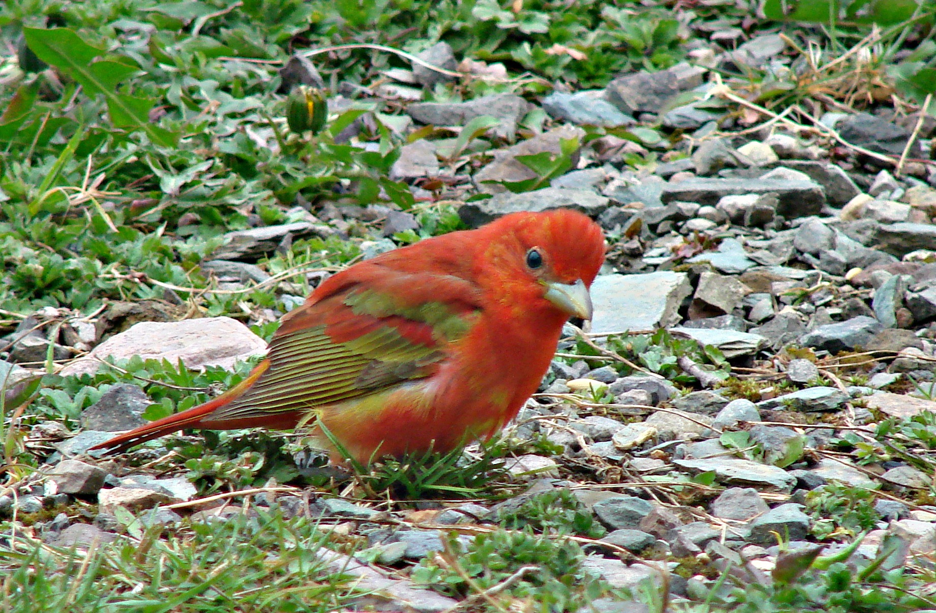
Summer Tanager
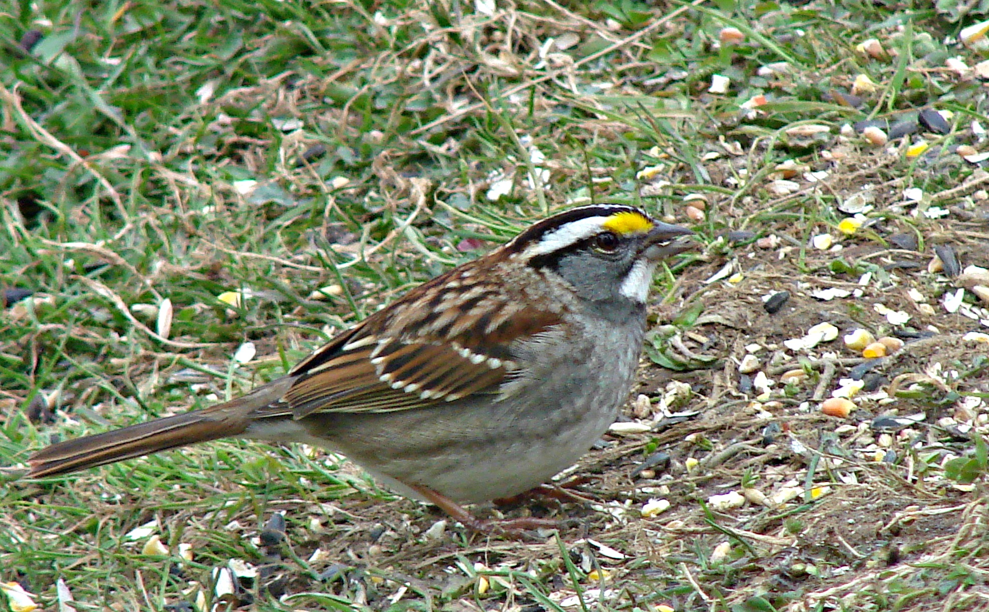
White-Throated Sparrow

20150609-9663520043819-0067.jpg
Topographic Map of Sunset Drive, Sunset Dr, Newfoundland and Labrador A0E, Canada
Find elevation by address:

Places near Sunset Drive, Sunset Dr, Newfoundland and Labrador A0E, Canada:
Hwy, Garnish, NL A0E 1T0, Canada
Golf Course Road
Frenchman's Cove
68 Hwy, Frenchman's Cove, NL A0E 1R0, Canada
Marystown
30 Burin Bay Crescent, Epworth, NL A0E 1N0, Canada
30 Collins Ln, Burin, NL A0E 1E0, Canada
Spanish Room
15 NL-, Belleoram, NL A0H 1B0, Canada
Saint Jacques-coomb's Cove
Division No. 2, Subd. H
Red Harbour
26 NL-, English Harbour West, NL A0H 1M0, Canada
Beach Avenue
Sharon's Nook
Grand Bank
5 Main St
West Street Extension
5 Christians Rd
10 Christians Rd
Recent Searches:
- Elevation of Spaceport America, Co Rd A, Truth or Consequences, NM, USA
- Elevation of Warwick, RI, USA
- Elevation of Fern Rd, Whitmore, CA, USA
- Elevation of 62 Abbey St, Marshfield, MA, USA
- Elevation of Fernwood, Bradenton, FL, USA
- Elevation of Felindre, Swansea SA5 7LU, UK
- Elevation of Leyte Industrial Development Estate, Isabel, Leyte, Philippines
- Elevation of W Granada St, Tampa, FL, USA
- Elevation of Pykes Down, Ivybridge PL21 0BY, UK
- Elevation of Jalan Senandin, Lutong, Miri, Sarawak, Malaysia