Elevation of Red Harbour, NL, Canada
Location: Canada > Newfoundland And Labrador > Division No. 2 >
Longitude: -54.997809
Latitude: 47.293393
Elevation: 16m / 52feet
Barometric Pressure: 101KPa
Elevation Map:
Satellite Map:
Related Photos:
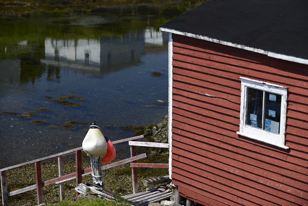
Community of Parker's Cove, Burin Peninsula
Péninsule de Burin - Cow Head (7)
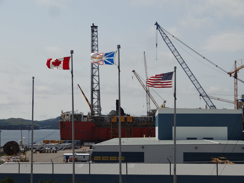
Mortier Bay Lookout
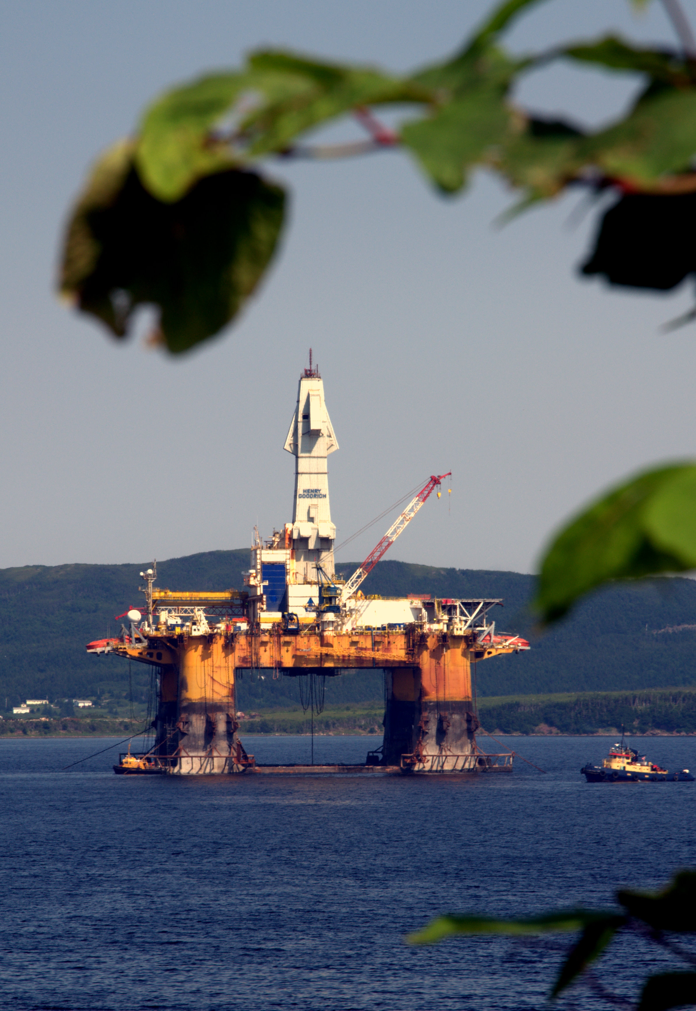
drill rig

BBC Jade
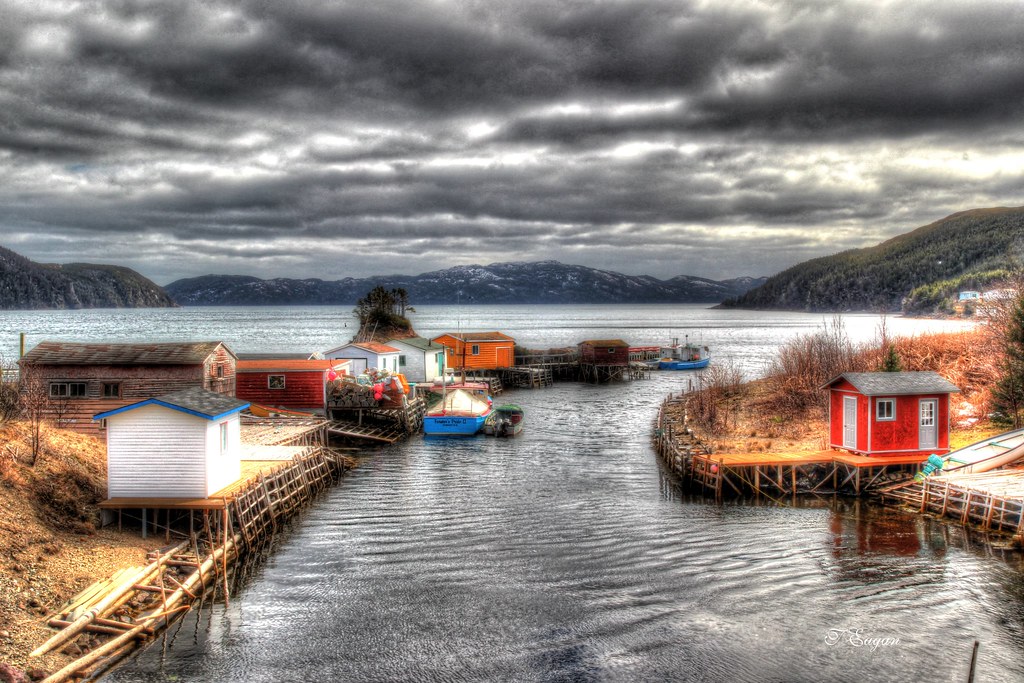
Rock Harbour
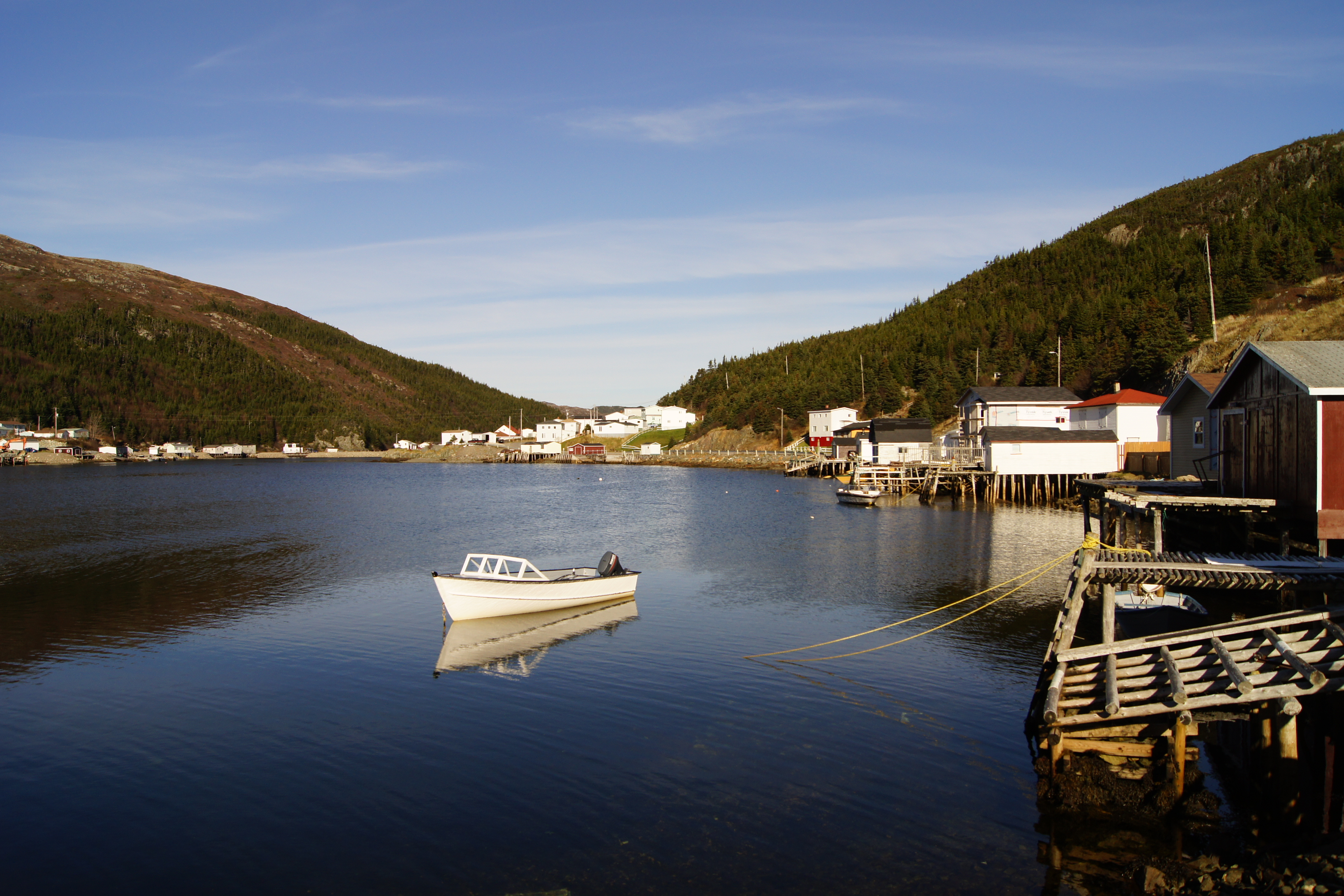
Jean de Baie Harbour
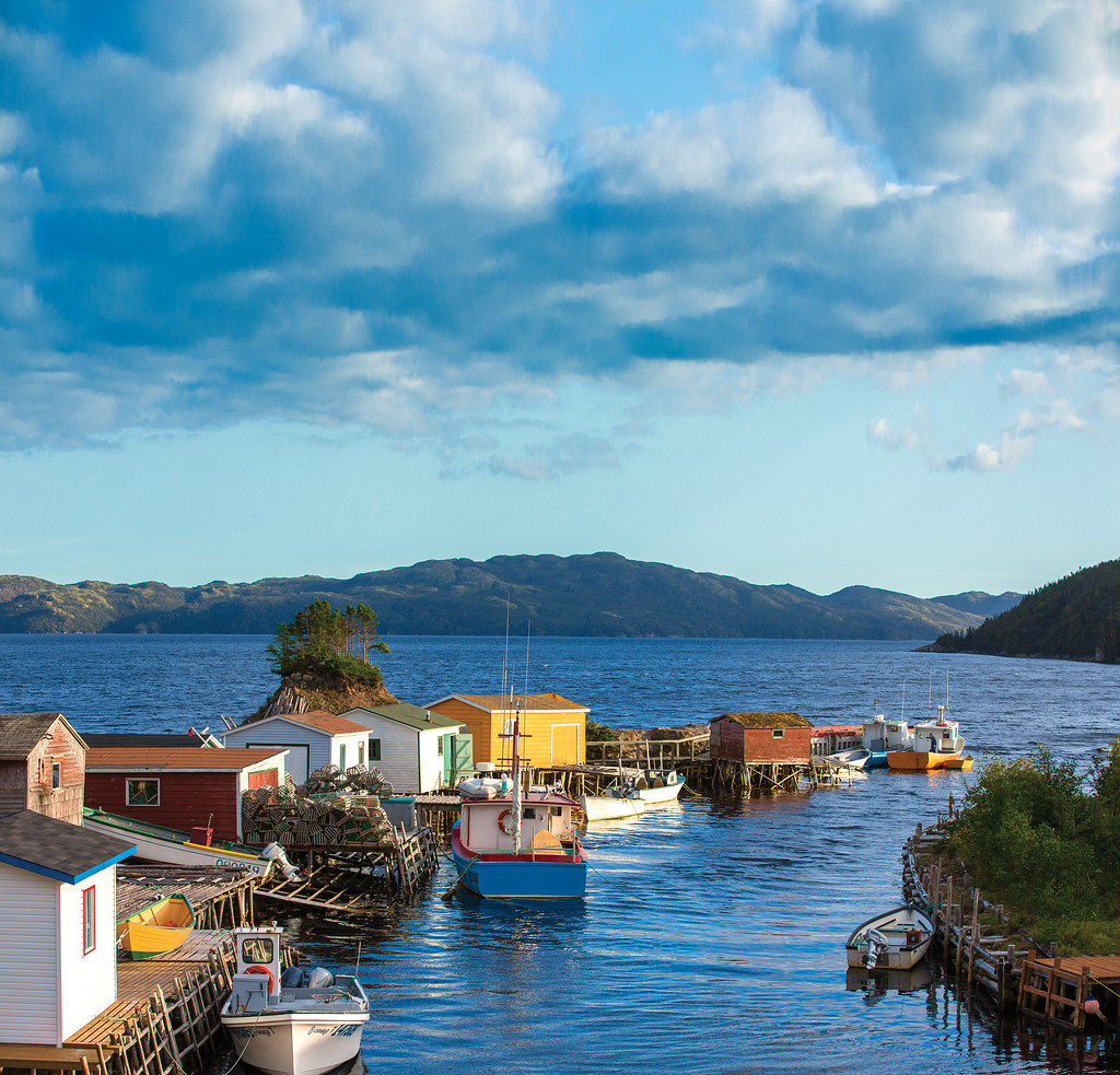
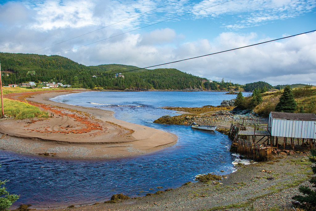
Parker's Cove
Rural Rushoon
Topographic Map of Red Harbour, NL, Canada
Find elevation by address:

Places near Red Harbour, NL, Canada:
Rushoon
Spanish Room
Parkers Cove
Marystown
Division No. 2
30 Collins Ln, Burin, NL A0E 1E0, Canada
30 Burin Bay Crescent, Epworth, NL A0E 1N0, Canada
Sunset Drive
Hwy, Garnish, NL A0E 1T0, Canada
Golf Course Road
Frenchman's Cove
68 Hwy, Frenchman's Cove, NL A0E 1R0, Canada
15 NL-, Belleoram, NL A0H 1B0, Canada
Harbour Dr, Belleoram, NL A0H 1B0, Canada
Pool's Cove
Saint Jacques-coomb's Cove
26 NL-, English Harbour West, NL A0H 1M0, Canada
Division No. 2, Subd. H
Beach Avenue
Sharon's Nook
Recent Searches:
- Elevation of Royal Ontario Museum, Queens Park, Toronto, ON M5S 2C6, Canada
- Elevation of Groblershoop, South Africa
- Elevation of Power Generation Enterprises | Industrial Diesel Generators, Oak Ave, Canyon Country, CA, USA
- Elevation of Chesaw Rd, Oroville, WA, USA
- Elevation of N, Mt Pleasant, UT, USA
- Elevation of 6 Rue Jules Ferry, Beausoleil, France
- Elevation of Sattva Horizon, 4JC6+G9P, Vinayak Nagar, Kattigenahalli, Bengaluru, Karnataka, India
- Elevation of Great Brook Sports, Gold Star Hwy, Groton, CT, USA
- Elevation of 10 Mountain Laurels Dr, Nashua, NH, USA
- Elevation of 16 Gilboa Ln, Nashua, NH, USA