Elevation of N Side Extension, English Harbour West, NL A0H 1M0, Canada
Location: Canada > Newfoundland And Labrador > Division No. 3 >
Longitude: -55.8036465
Latitude: 47.4852476
Elevation: 5m / 16feet
Barometric Pressure: 0KPa
Related Photos:

Logs on the dock

Gaultois in brushed rose
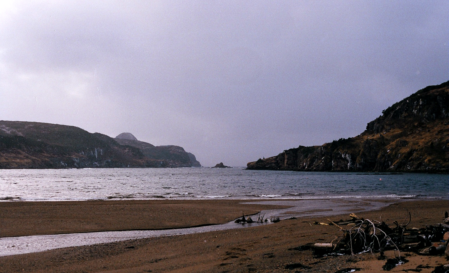
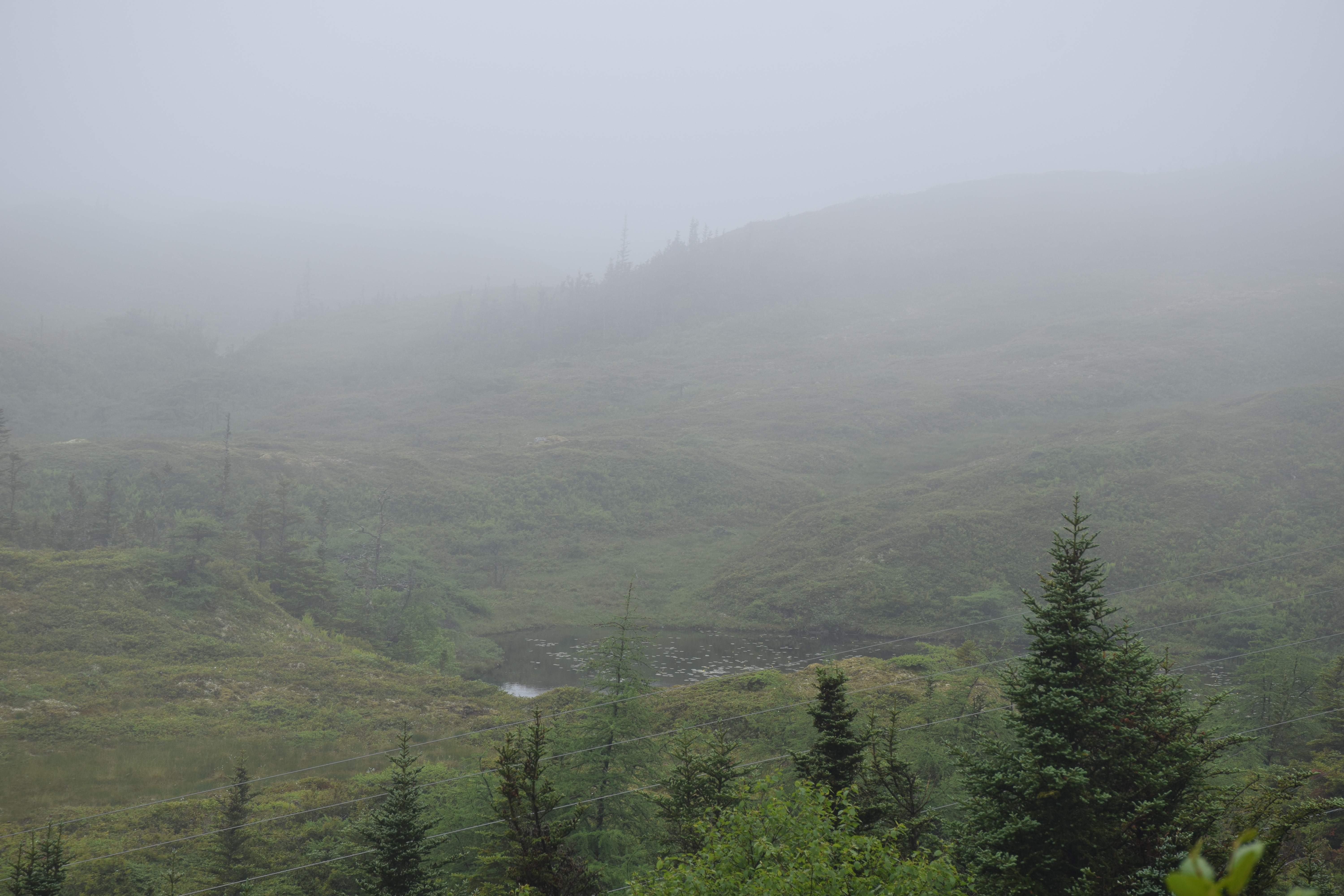
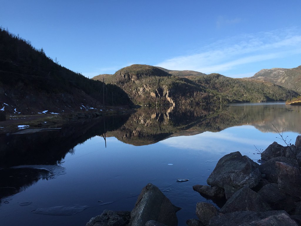
Between the hills, to the sea.
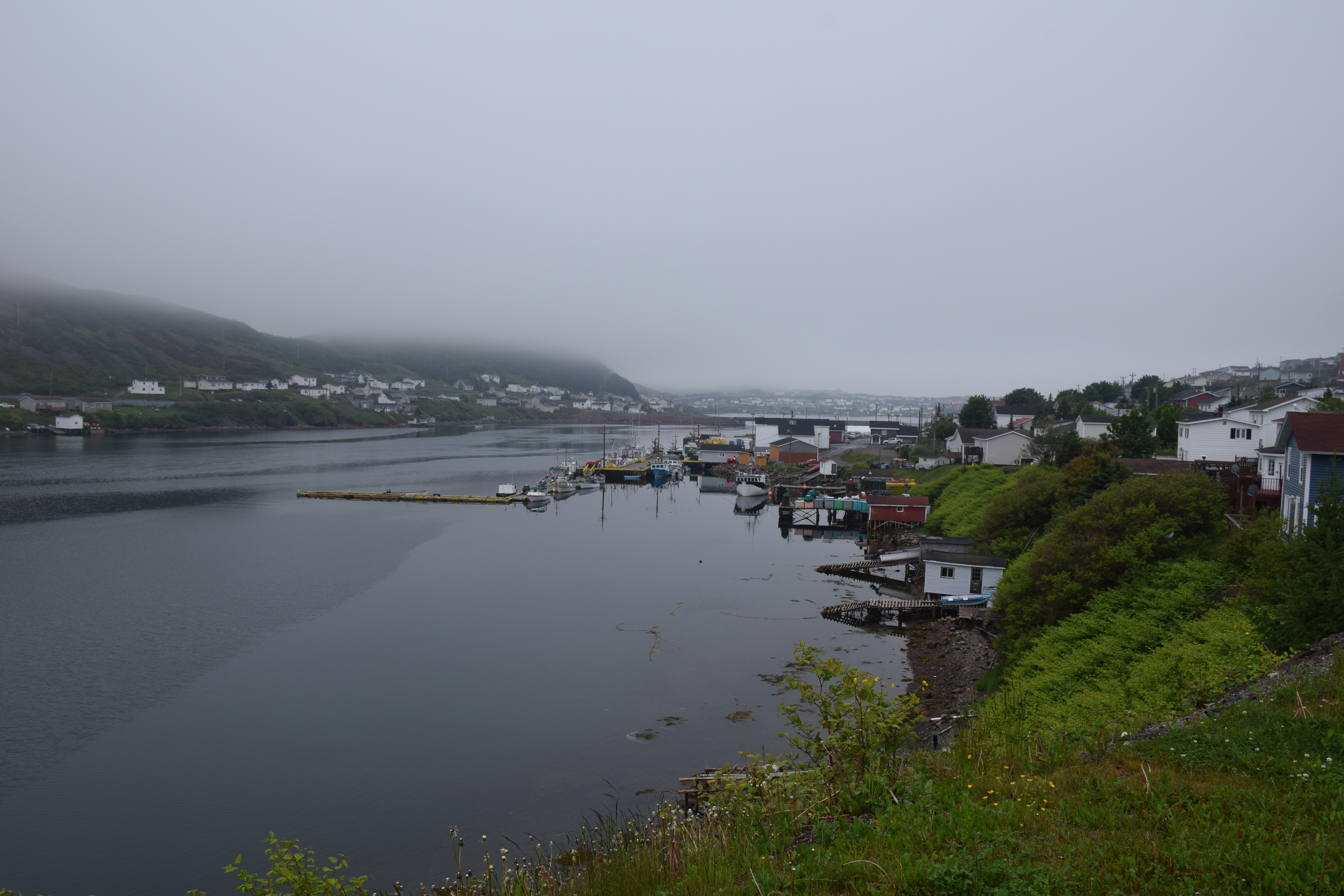
Harbour Breton Newfoundland
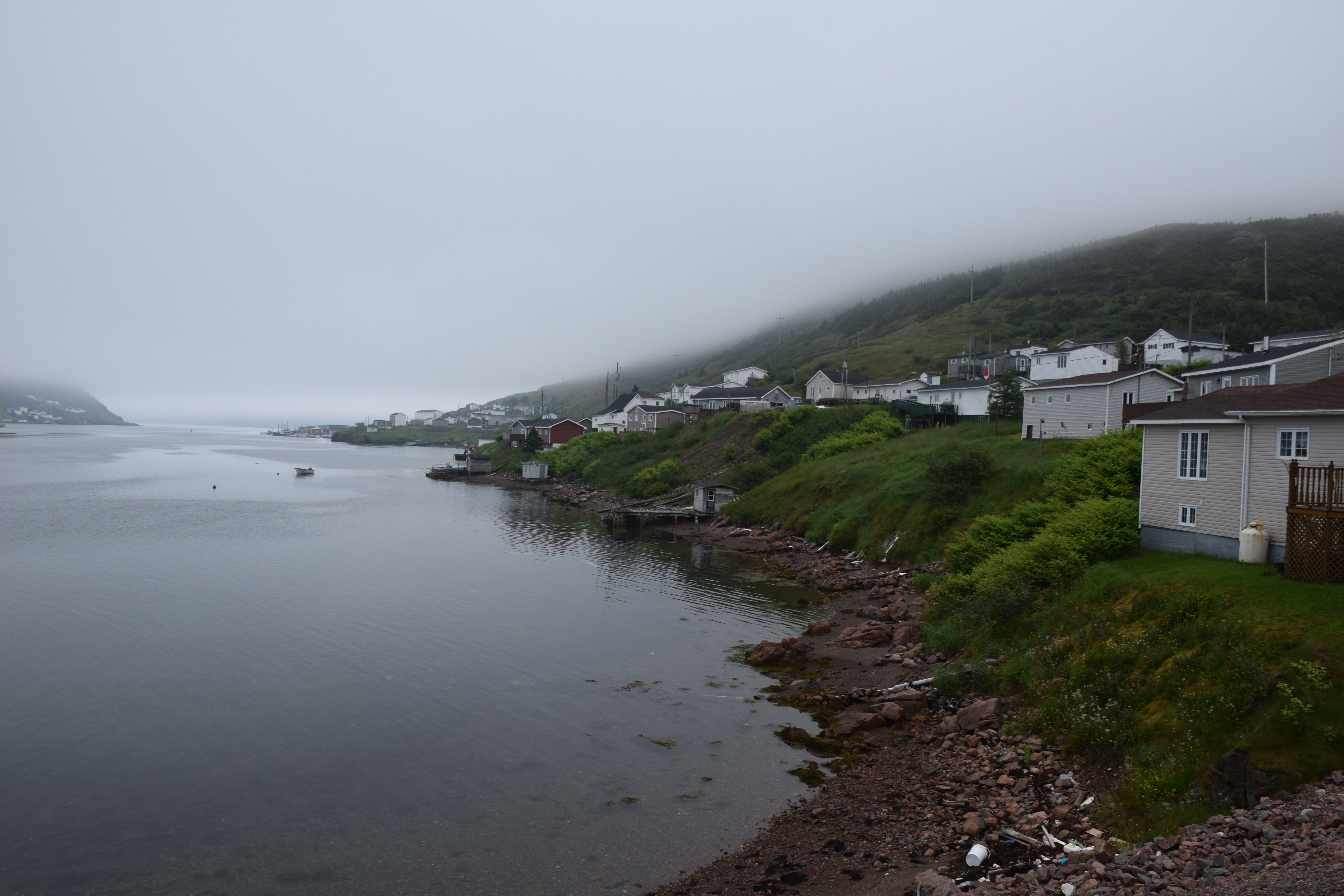
Harbour Breton Newfoundland

Harbour Breton Newfoundland
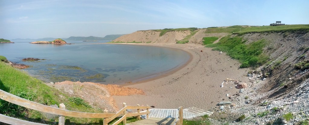
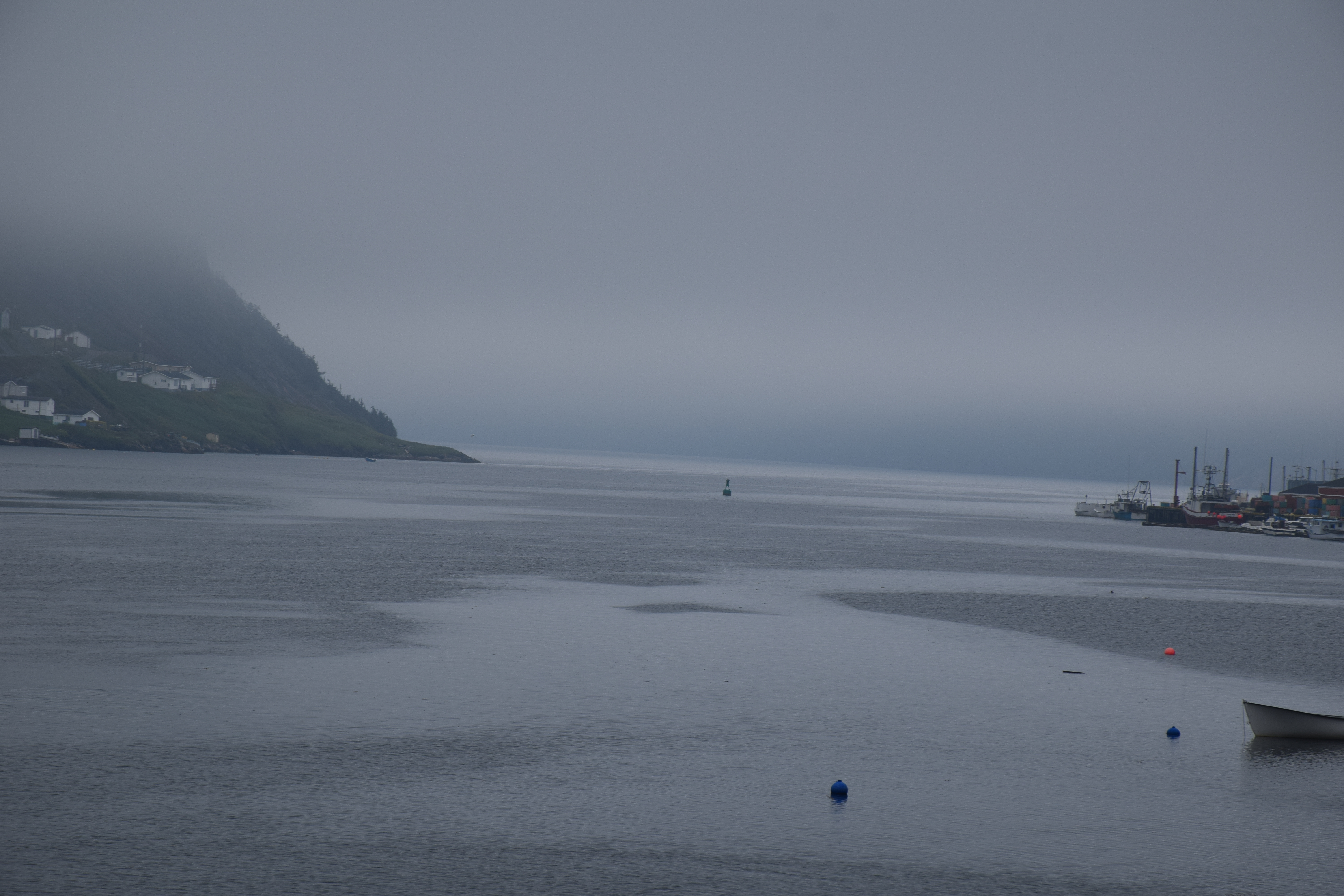
Chappie Cove Photosphere I
Newfoundland Highway 360
Harbour Breton Newfoundland
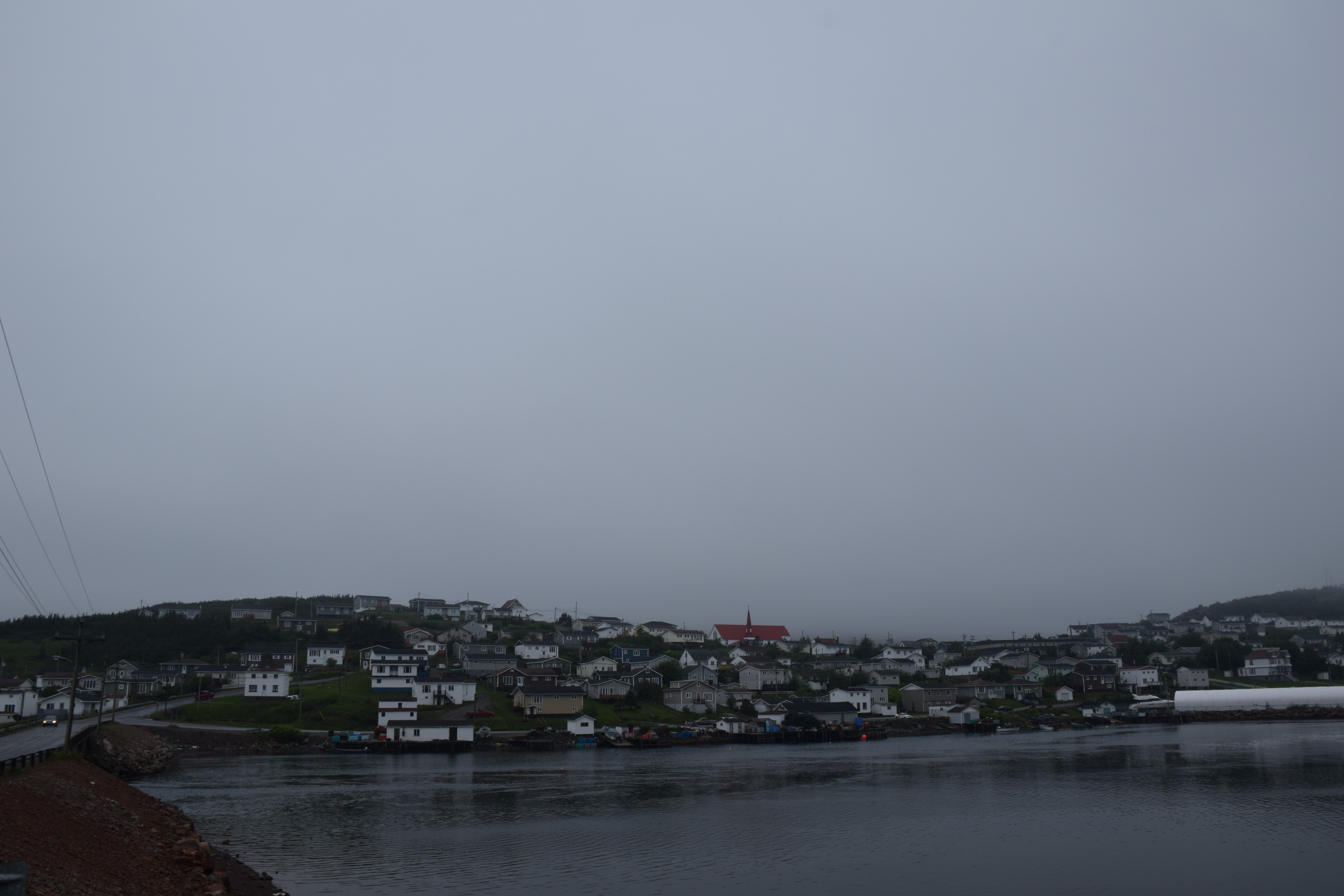
Harbour Breton Newfoundland
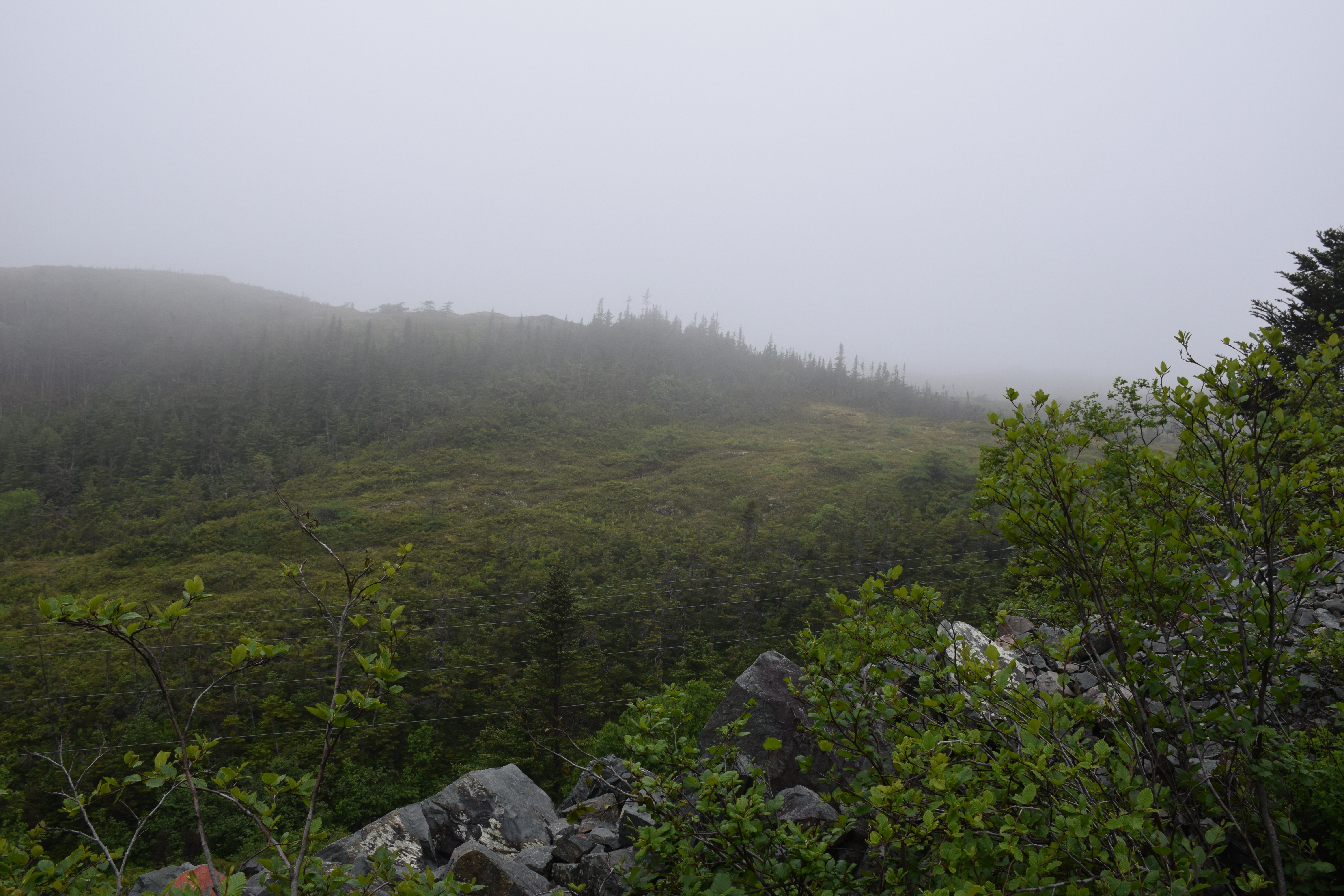
Newfoundland Highway 360
One fine Christmas Newfoundland
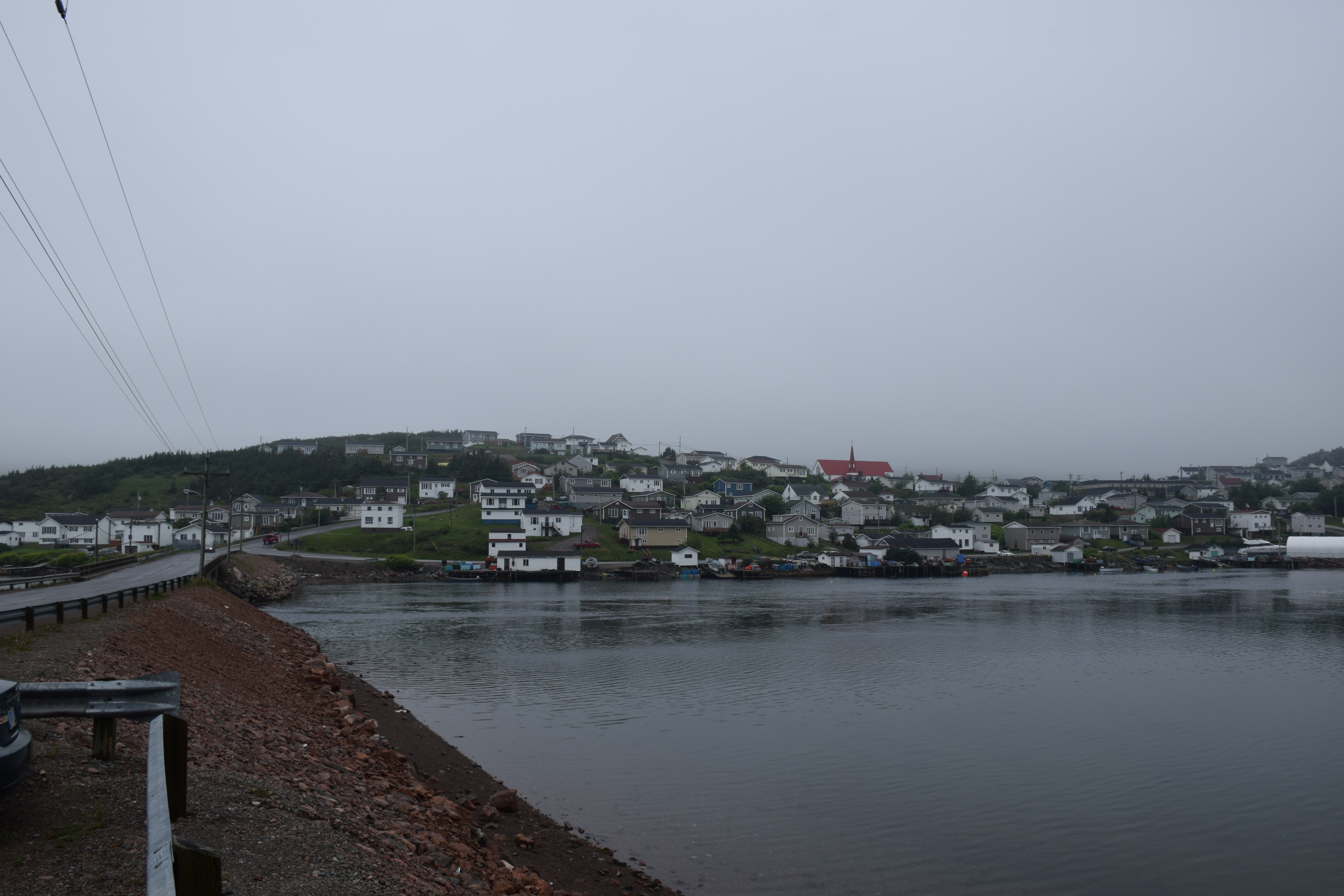
Harbour Breton Newfoundland
Topographic Map of N Side Extension, English Harbour West, NL A0H 1M0, Canada
Find elevation by address:

Places near N Side Extension, English Harbour West, NL A0H 1M0, Canada:
20 Southside Dr, Harbour Breton, NL A0H 1P0, Canada
Harbour Breton
26 NL-, English Harbour West, NL A0H 1M0, Canada
Saint Jacques-coomb's Cove
56 Hwy, Seal Cove, NL A0H 2G0, Canada
15 NL-, Belleoram, NL A0H 1B0, Canada
10 Christians Rd
5 Christians Rd
5 Main St
Sharon's Nook
Grand Bank
West Street Extension
13 Courtney Pl
Schooner Drive
5 Stone Pl
Beach Avenue
Dockside Efficiency Suite
10 Community St
1 Community St
1 Temple St
Recent Searches:
- Elevation map of Greenland, Greenland
- Elevation of Sullivan Hill, New York, New York, 10002, USA
- Elevation of Morehead Road, Withrow Downs, Charlotte, Mecklenburg County, North Carolina, 28262, USA
- Elevation of 2800, Morehead Road, Withrow Downs, Charlotte, Mecklenburg County, North Carolina, 28262, USA
- Elevation of Yangbi Yi Autonomous County, Yunnan, China
- Elevation of Pingpo, Yangbi Yi Autonomous County, Yunnan, China
- Elevation of Mount Malong, Pingpo, Yangbi Yi Autonomous County, Yunnan, China
- Elevation map of Yongping County, Yunnan, China
- Elevation of North 8th Street, Palatka, Putnam County, Florida, 32177, USA
- Elevation of 107, Big Apple Road, East Palatka, Putnam County, Florida, 32131, USA
- Elevation of Jiezi, Chongzhou City, Sichuan, China
- Elevation of Chongzhou City, Sichuan, China
- Elevation of Huaiyuan, Chongzhou City, Sichuan, China
- Elevation of Qingxia, Chengdu, Sichuan, China
- Elevation of Corso Fratelli Cairoli, 35, Macerata MC, Italy
- Elevation of Tallevast Rd, Sarasota, FL, USA
- Elevation of 4th St E, Sonoma, CA, USA
- Elevation of Black Hollow Rd, Pennsdale, PA, USA
- Elevation of Oakland Ave, Williamsport, PA, USA
- Elevation of Pedrógão Grande, Portugal