Elevation of 20 Southside Dr, Harbour Breton, NL A0H 1P0, Canada
Location: Canada > Newfoundland And Labrador > Division No. 3 > Harbour Breton >
Longitude: -55.798329
Latitude: 47.4807526
Elevation: 1m / 3feet
Barometric Pressure: 101KPa
Elevation Map:
Satellite Map:
Related Photos:

Gaultois in brushed rose

Logs on the dock
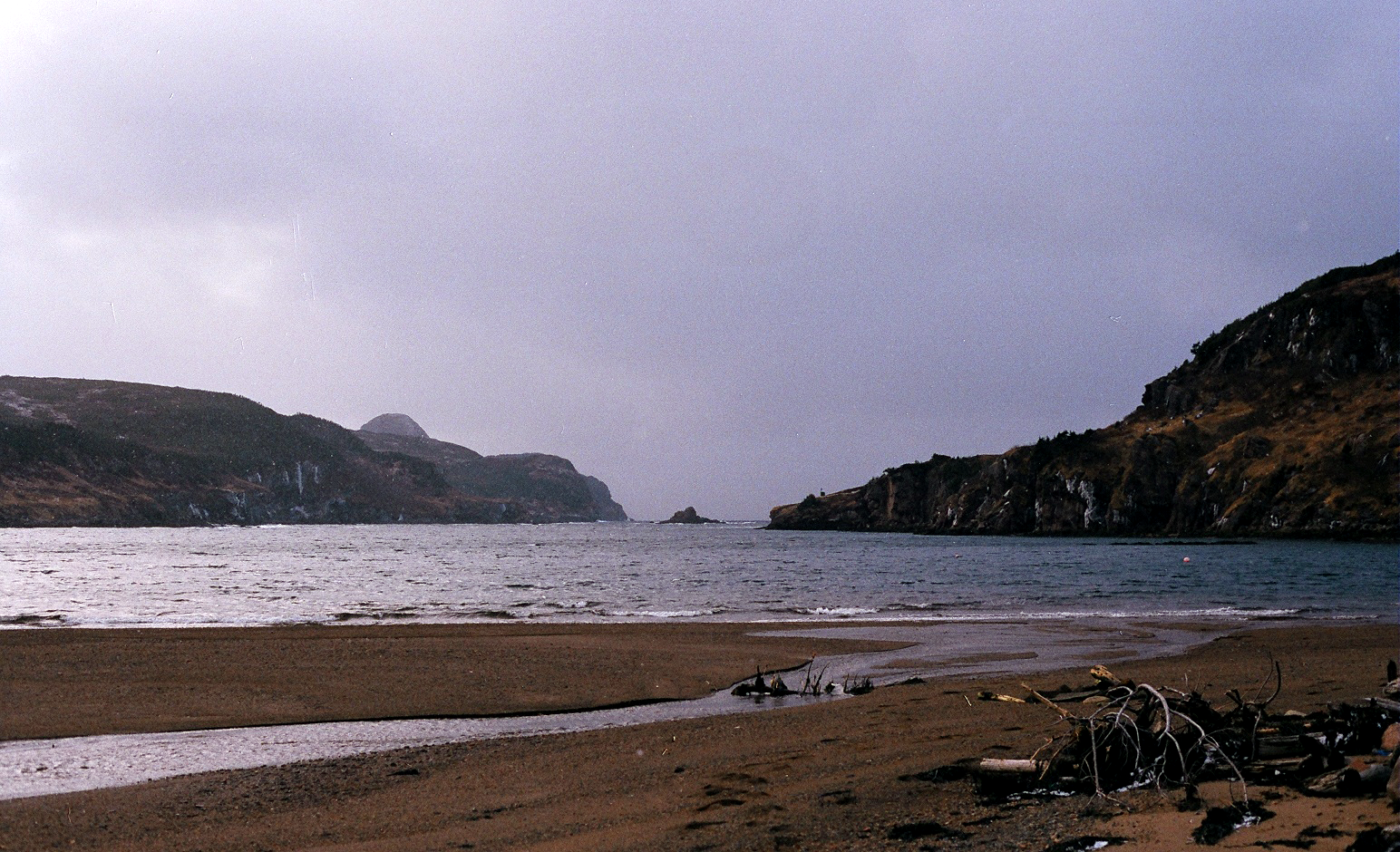
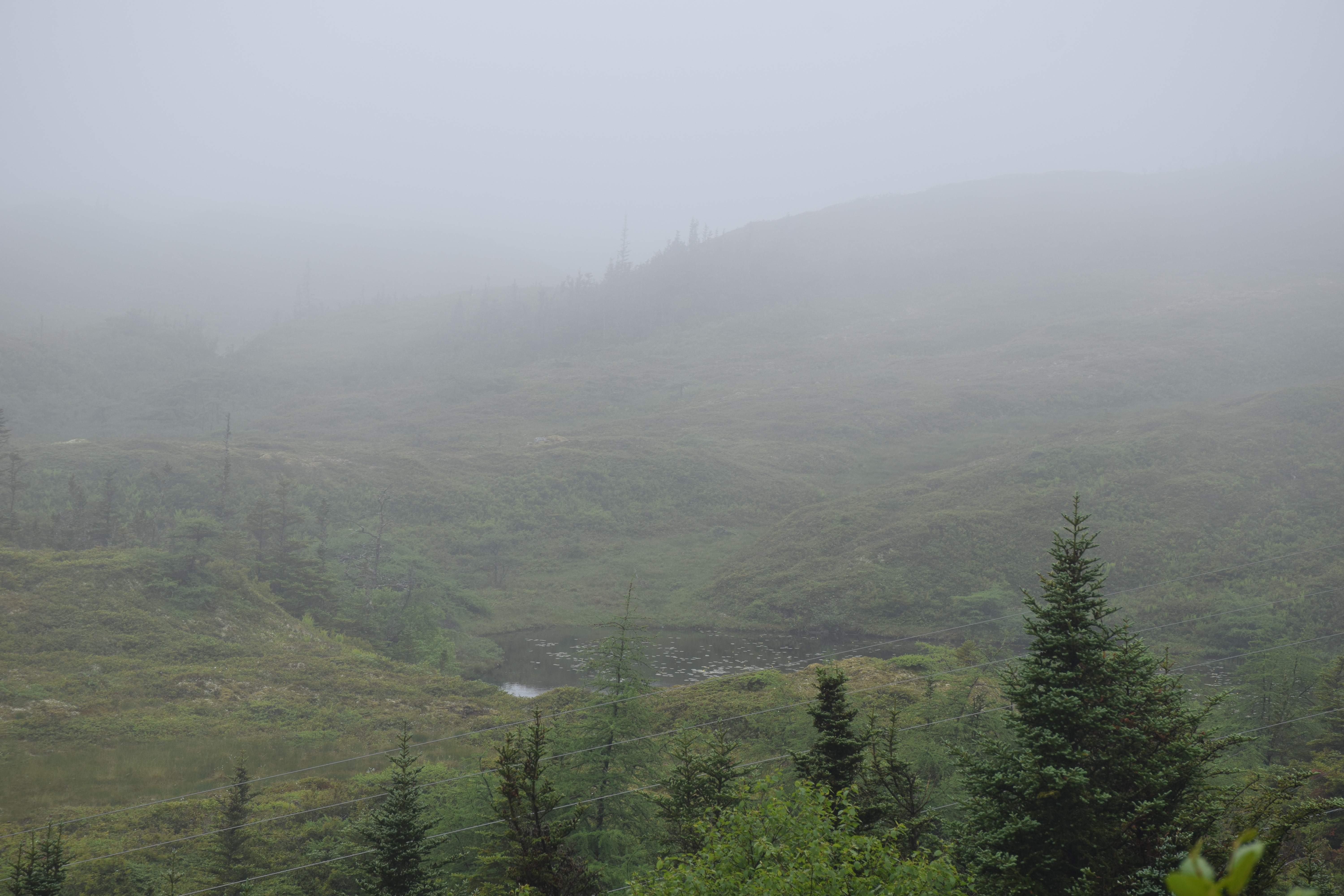
Between the hills, to the sea.
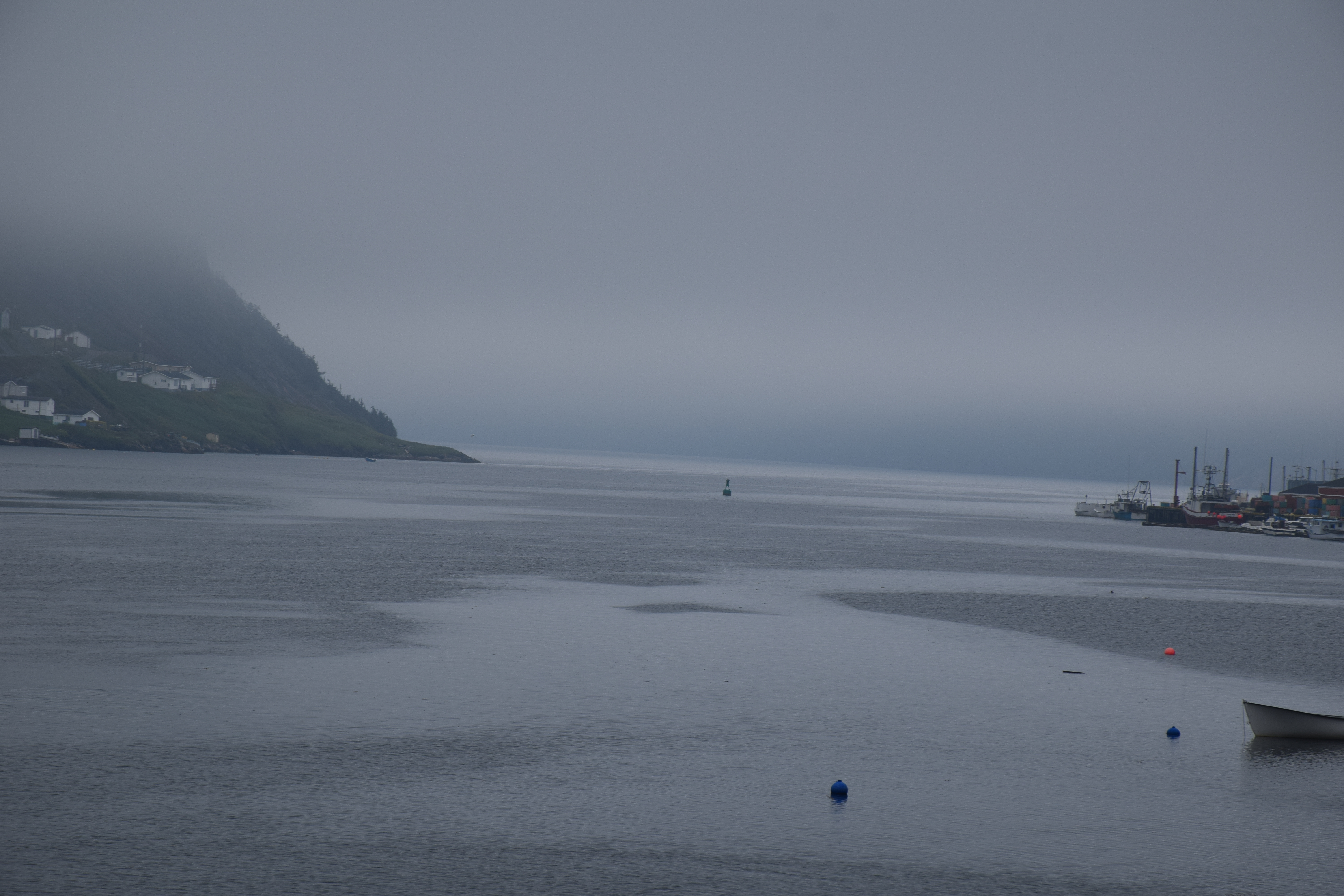
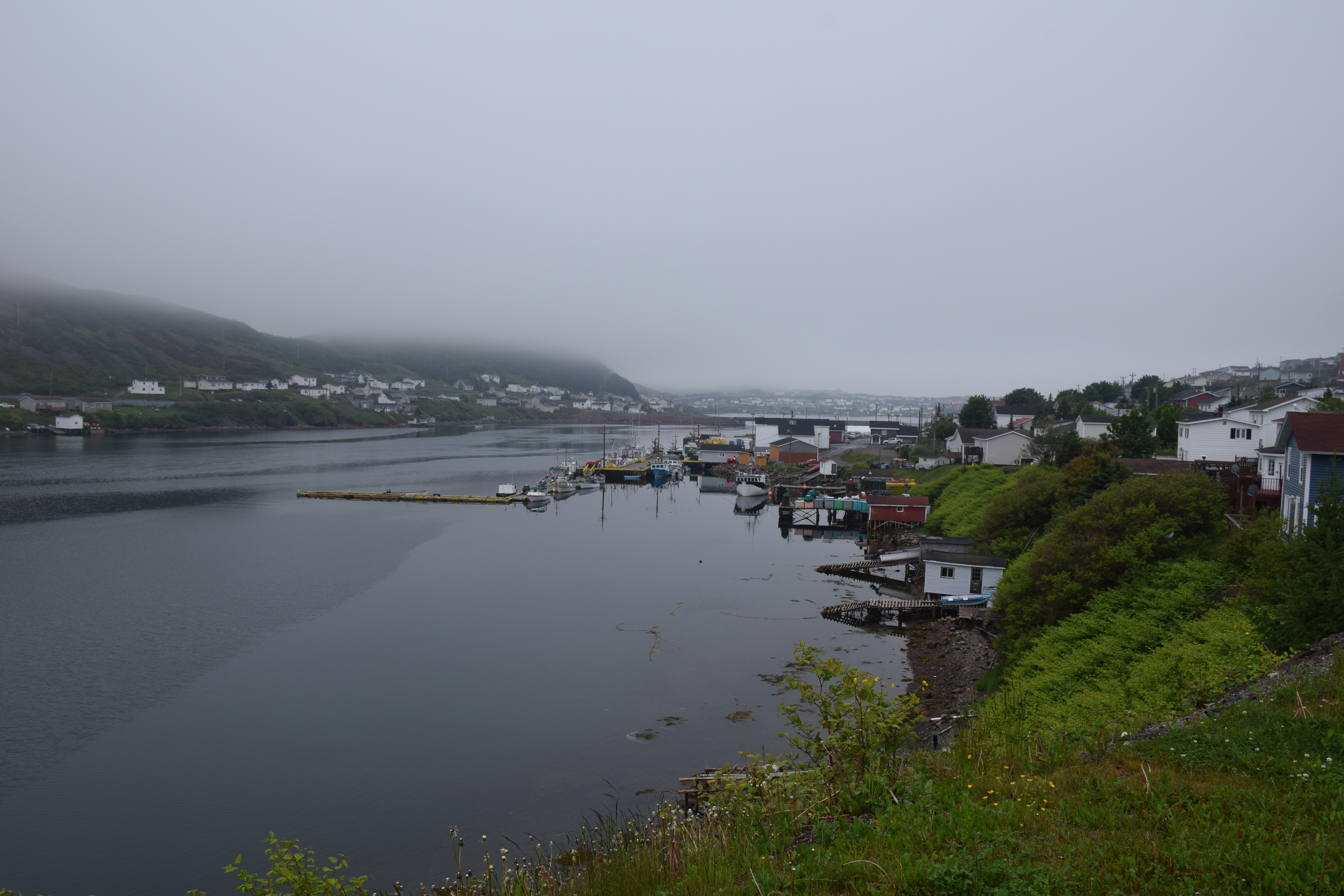
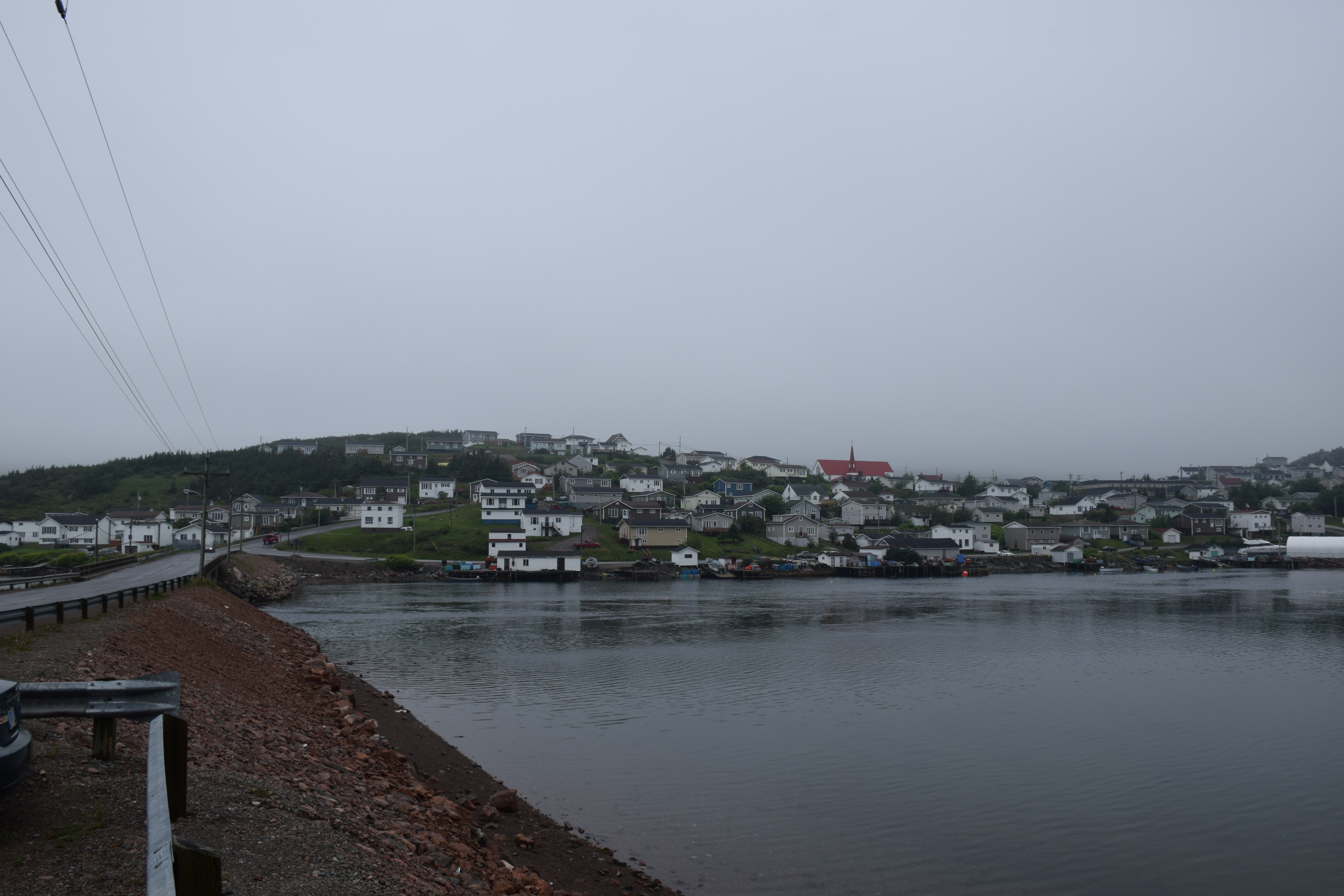
Harbour Breton Newfoundland
Harbour Breton Newfoundland

Harbour Breton Newfoundland
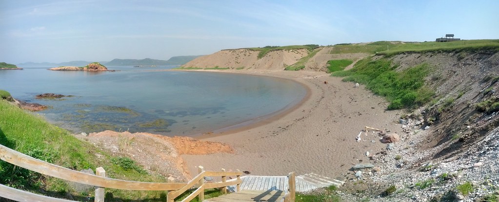
Chappie Cove Photosphere I
Newfoundland Highway 360
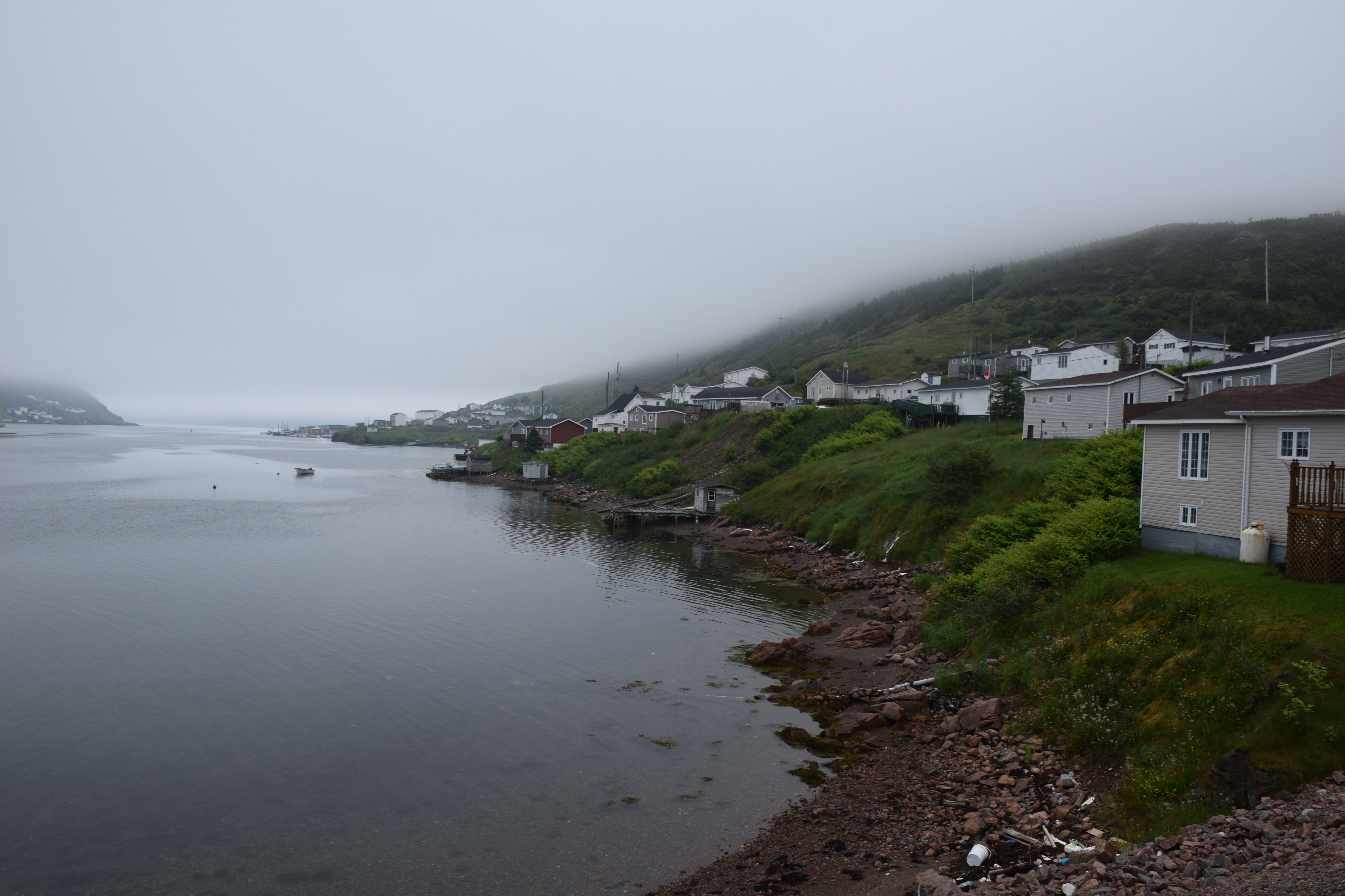
Harbour Breton Newfoundland
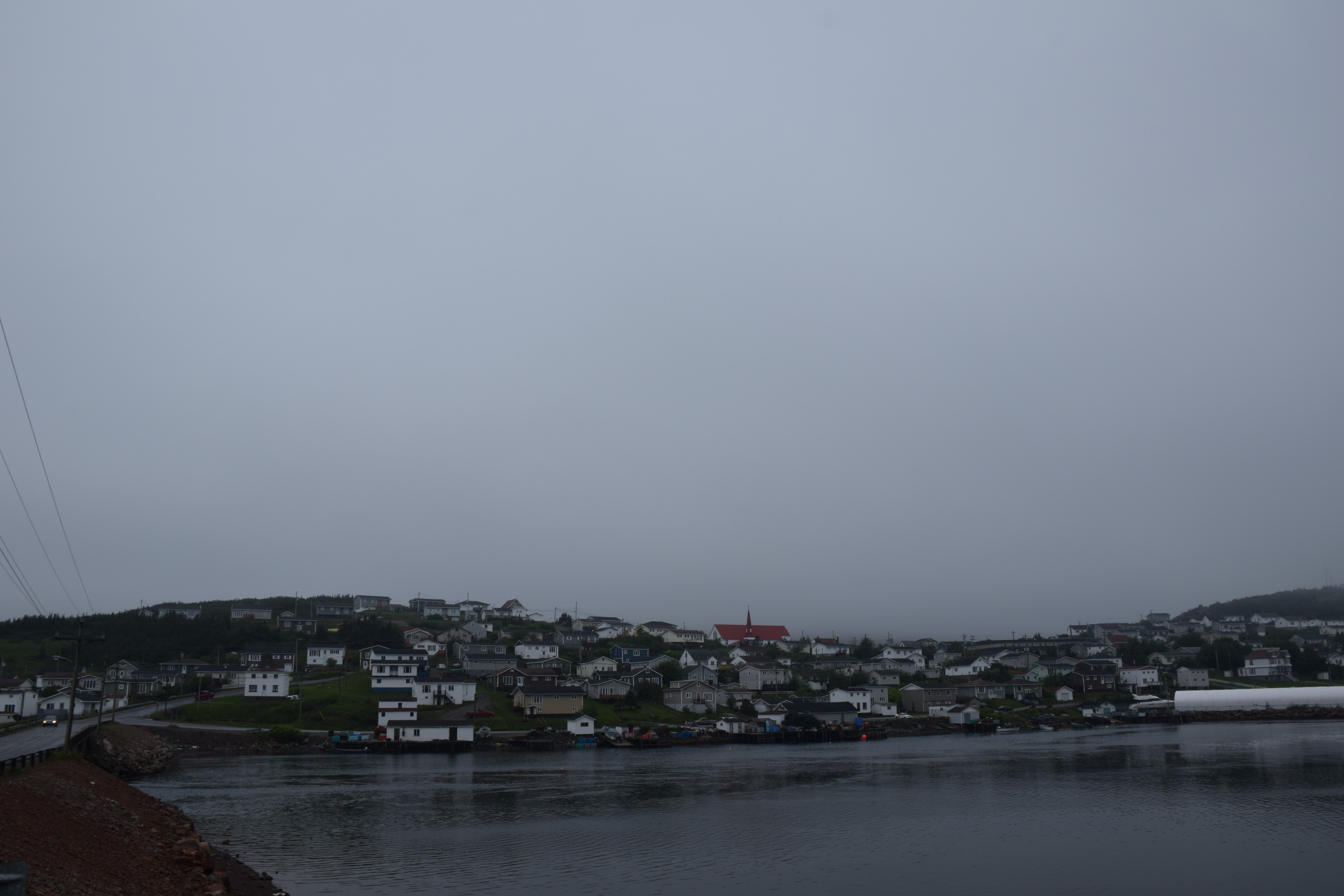
Harbour Breton Newfoundland
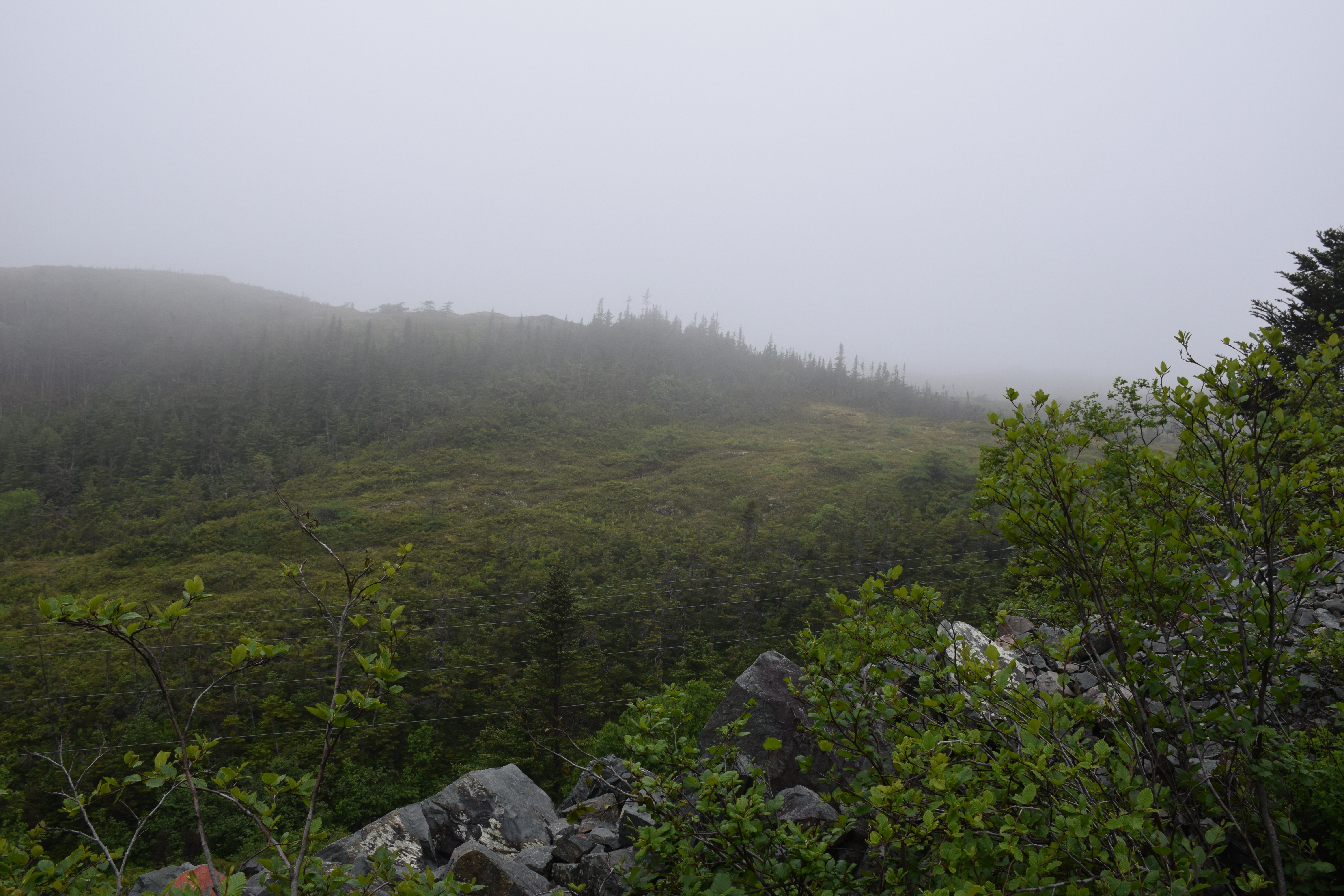
Newfoundland Highway 360
Harbour Breton Newfoundland
Topographic Map of 20 Southside Dr, Harbour Breton, NL A0H 1P0, Canada
Find elevation by address:

Places near 20 Southside Dr, Harbour Breton, NL A0H 1P0, Canada:
N Side Extension, English Harbour West, NL A0H 1M0, Canada
Harbour Breton
26 NL-, English Harbour West, NL A0H 1M0, Canada
Saint Jacques-coomb's Cove
56 Hwy, Seal Cove, NL A0H 2G0, Canada
15 NL-, Belleoram, NL A0H 1B0, Canada
10 Christians Rd
5 Christians Rd
5 Main St
Sharon's Nook
Grand Bank
West Street Extension
13 Courtney Pl
Schooner Drive
5 Stone Pl
Beach Avenue
Dockside Efficiency Suite
10 Community St
1 Community St
1 Temple St
Recent Searches:
- Elevation of Jadagoniai, Kaunas District Municipality, Lithuania
- Elevation of Pagonija rock, Kranto 7-oji g. 8"N, Kaunas, Lithuania
- Elevation of Co Rd 87, Jamestown, CO, USA
- Elevation of Tenjo, Cundinamarca, Colombia
- Elevation of Côte-des-Neiges, Montreal, QC H4A 3J6, Canada
- Elevation of Bobcat Dr, Helena, MT, USA
- Elevation of Zu den Ihlowbergen, Althüttendorf, Germany
- Elevation of Badaber, Peshawar, Khyber Pakhtunkhwa, Pakistan
- Elevation of SE Heron Loop, Lincoln City, OR, USA
- Elevation of Slanický ostrov, 01 Námestovo, Slovakia