Elevation of 12 N Pine-Featherville Rd, Mountain Home, ID, USA
Location: United States > Idaho > Elmore County > Mountain Home >
Longitude: -115.31055
Latitude: 43.484677
Elevation: 1283m / 4209feet
Barometric Pressure: 87KPa
Elevation Map:
Satellite Map:
Related Photos:
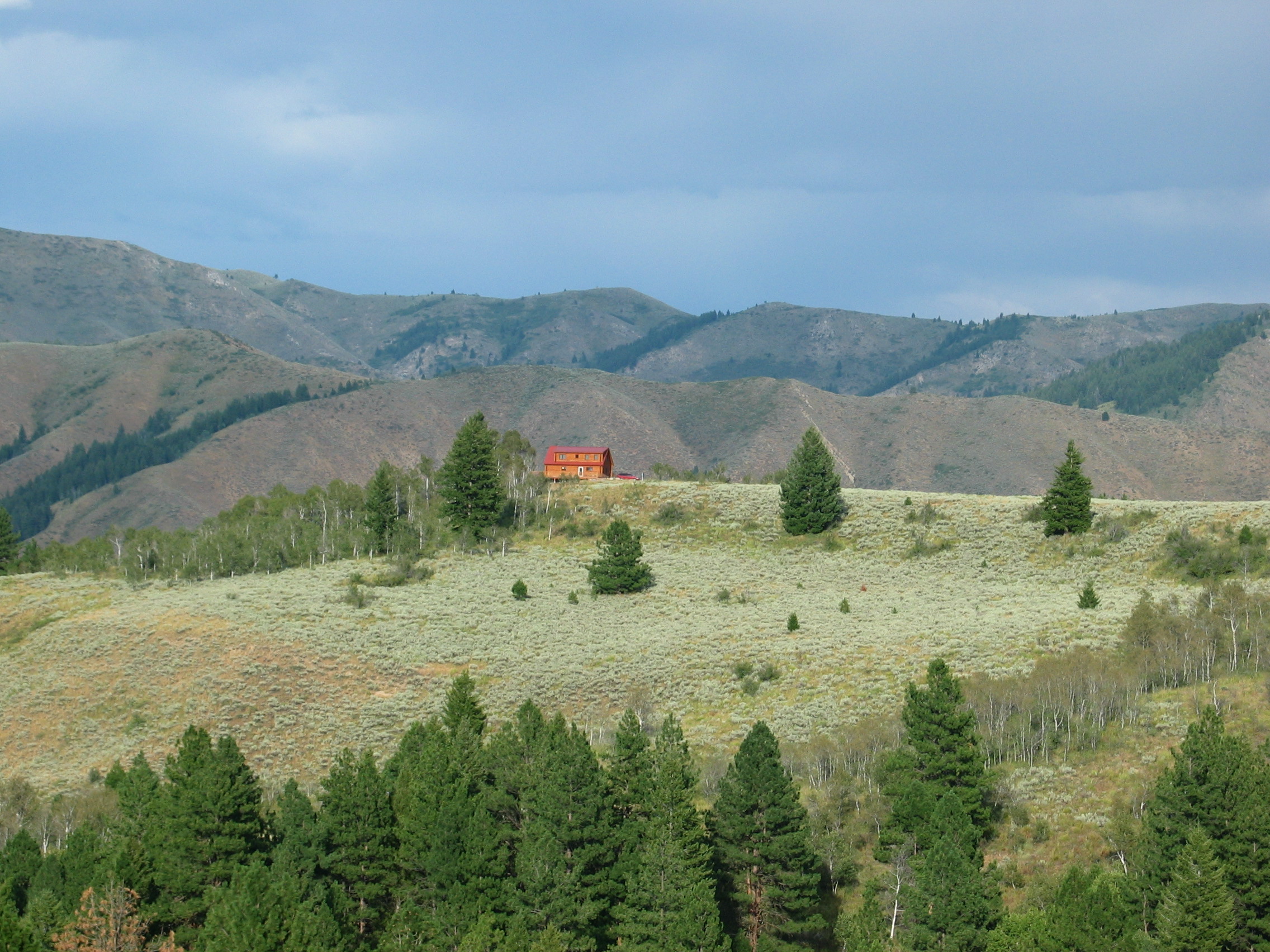
View from across Valley

Poo with a view
View from Below

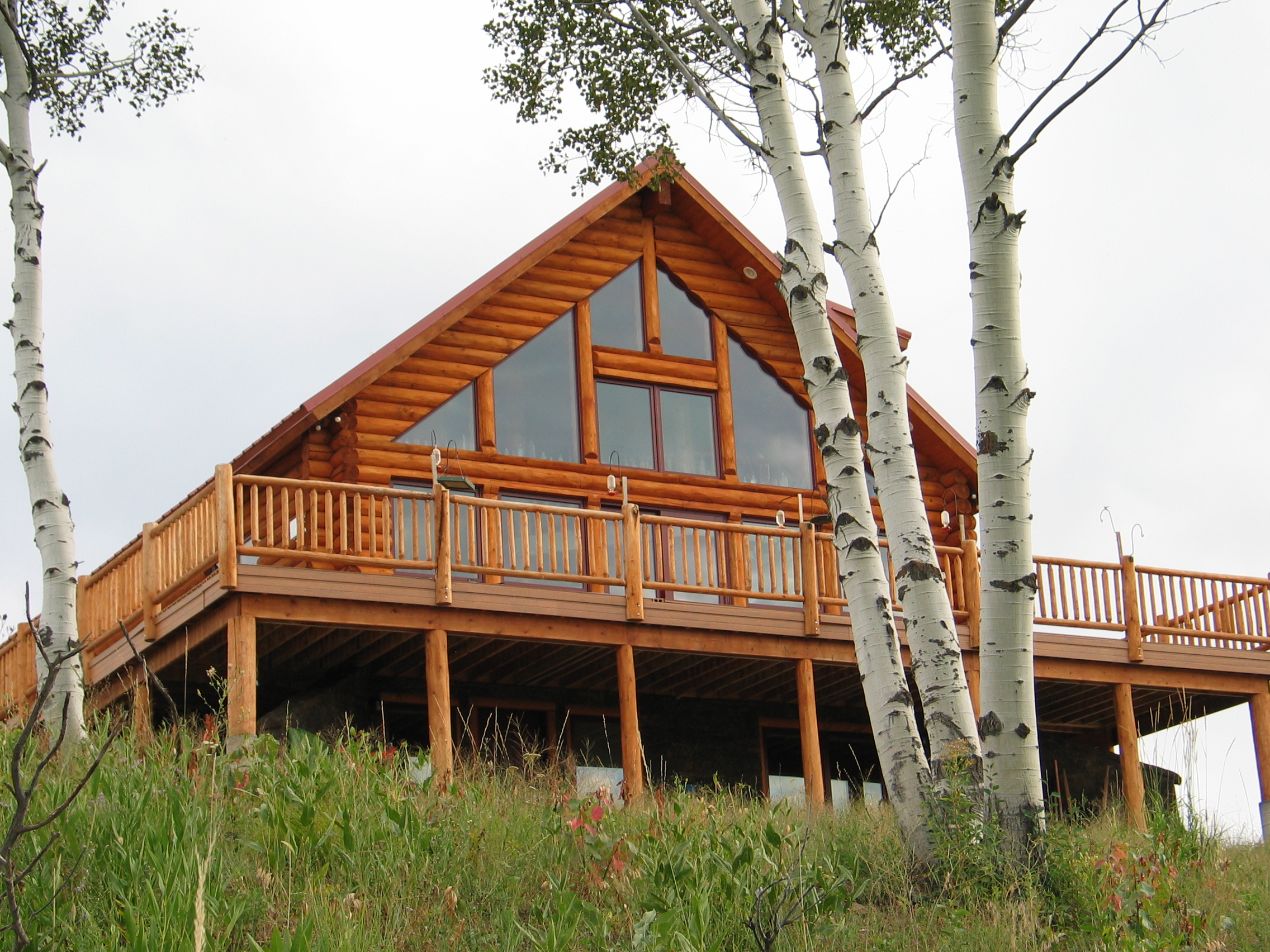
Grizzly Adams
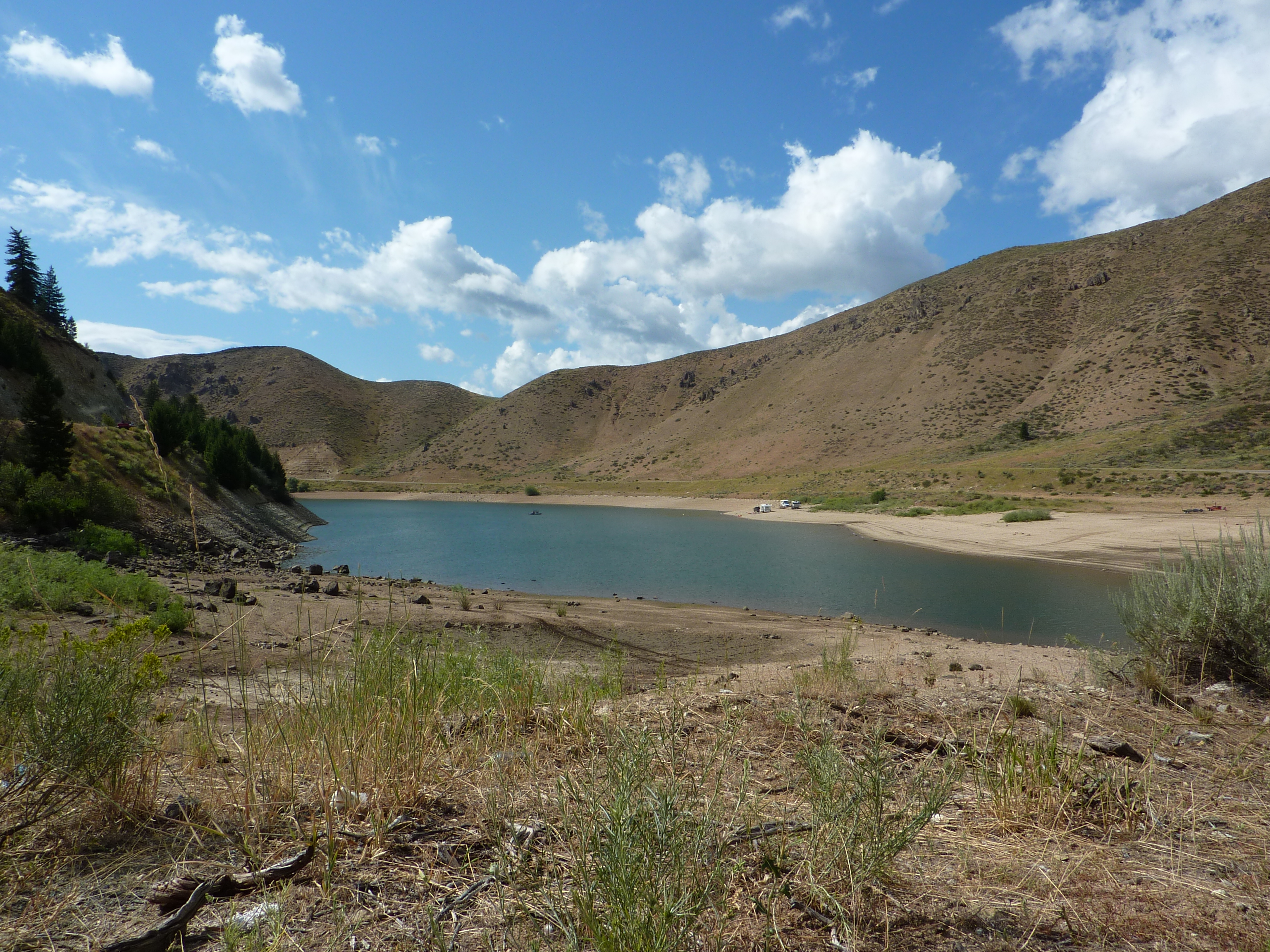
View of Anderson Ranch Resevior
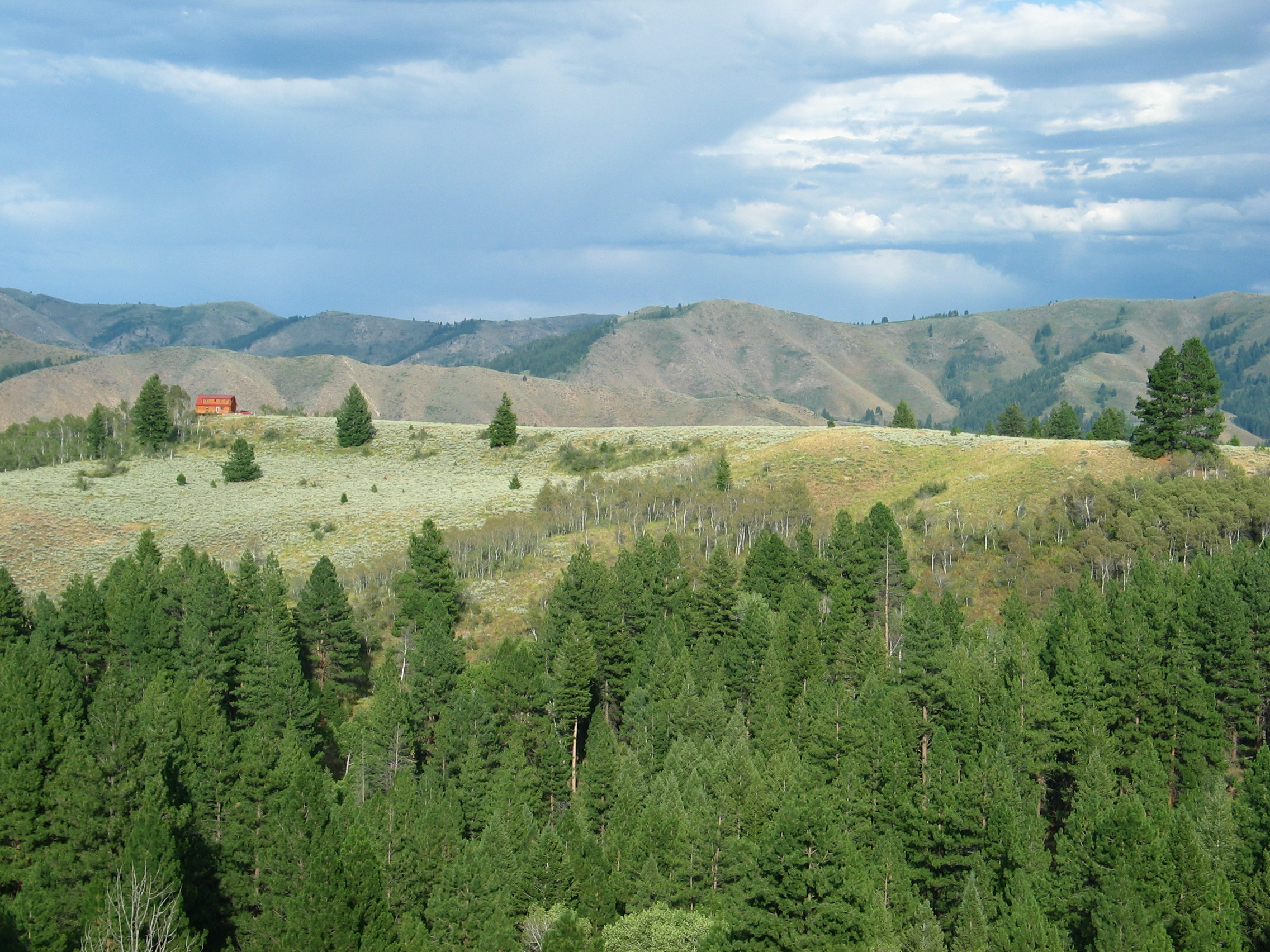
Cabin to Twin Pines view

Sun over Smith Prairie

Bone-white Groves

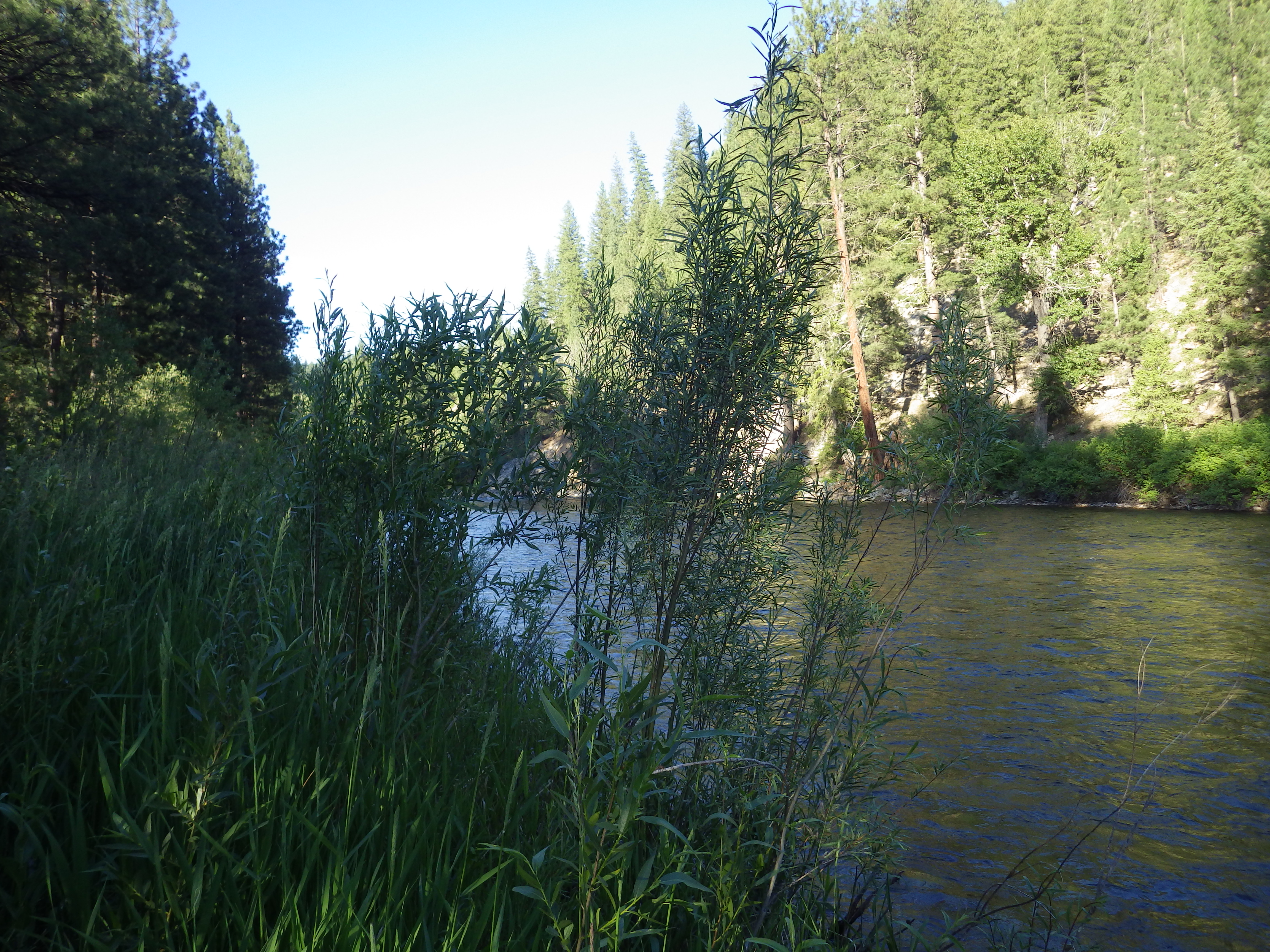
Emerald Water

Middle Rainbow Lake

Fooling around

Idaho Bike Trip 037

Fooling around

Trinity lakes

Anderson Ranch
Idaho Bike Trip 043

Shovel here
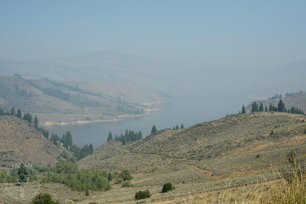
Smoke on the reservoir

blue shadows...
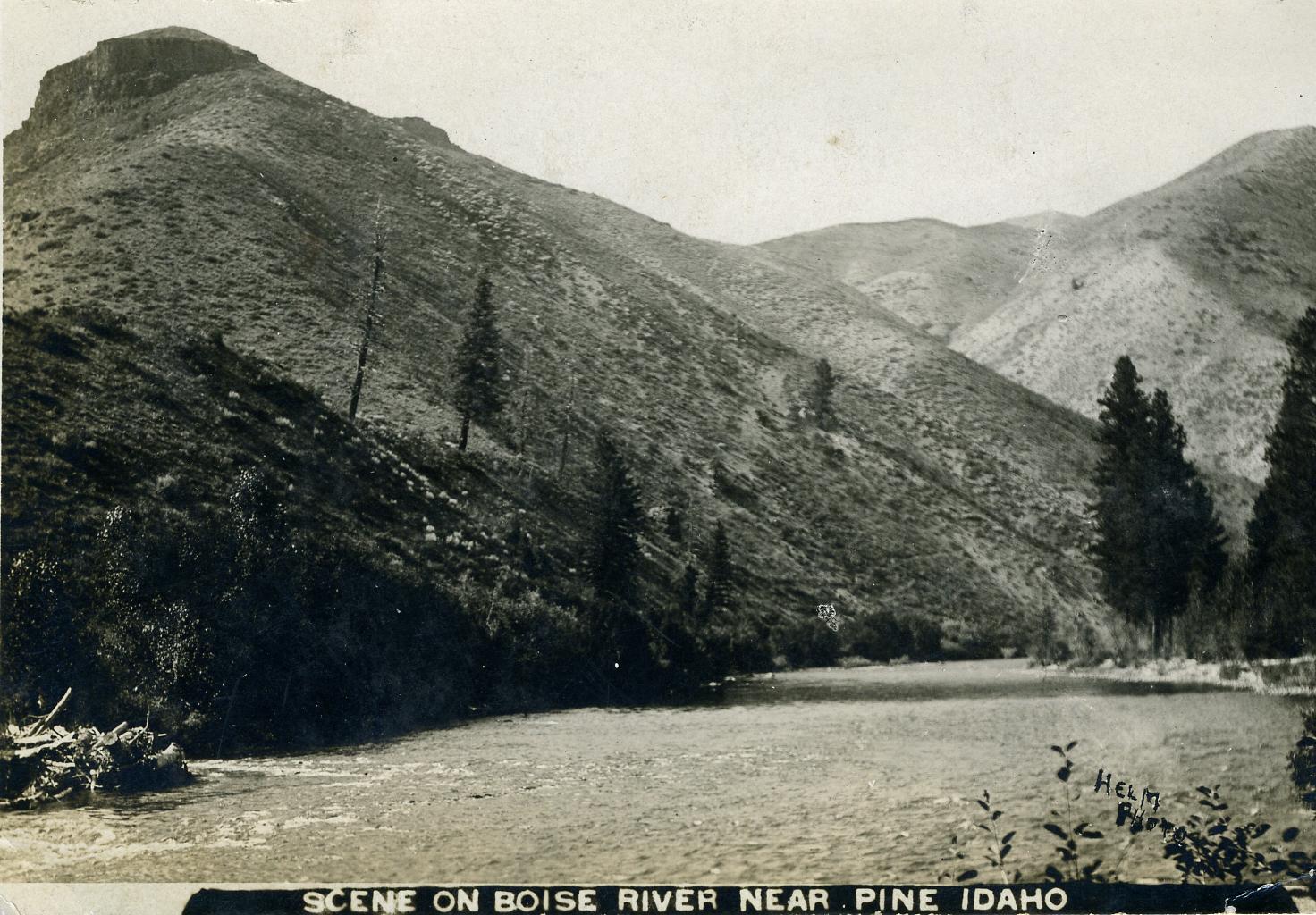
[IDAHO-B-0139] Boise River - Pine

Anderson Dam Reservoir
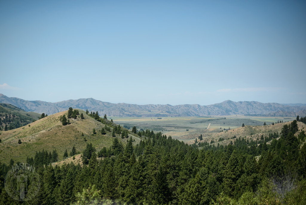
Descend to desert

Bust out some lunch

Hike for another day

Smells like mud

Anderson Ranch
Topographic Map of 12 N Pine-Featherville Rd, Mountain Home, ID, USA
Find elevation by address:

Places near 12 N Pine-Featherville Rd, Mountain Home, ID, USA:
Pine
1063 N Pine-featherville Rd
Paradise Hot Springs
E Paradise Dr, Mountain Home, ID, USA
3748 N Phil Pl
Homestead Road
Camas County
Silver Brush Road
Indian Head Rock
Glenns Ferry
38 E 1st Ave, Glenns Ferry, ID, USA
Soldier
Base Line Rd, Fairfield, ID, USA
Fairfield
Base Line Road
Bliss
Kentucky St, Bliss, ID, USA
Hagerman
Tupper Grde, Hagerman, ID, USA
Gooding County
Recent Searches:
- Elevation of 24 Oakland Rd #, Scotland, ON N0E 1R0, Canada
- Elevation of Deep Gap Farm Rd E, Mill Spring, NC, USA
- Elevation of Dog Leg Dr, Minden, NV, USA
- Elevation of Dog Leg Dr, Minden, NV, USA
- Elevation of Kambingan Sa Pansol Atbp., Purok 7 Pansol, Candaba, Pampanga, Philippines
- Elevation of Pinewood Dr, New Bern, NC, USA
- Elevation of Mountain View, CA, USA
- Elevation of Foligno, Province of Perugia, Italy
- Elevation of Blauwestad, Netherlands
- Elevation of Bella Terra Blvd, Estero, FL, USA